Top 20 Natural Monuments around Oberhofen am Thunersee
Best natural monuments around Oberhofen am Thunersee are found in a picturesque village on the northern shore of Lake Thun in the Bernese Oberland. This region is characterized by its tranquil setting and alpine backdrop, offering a blend of natural features and scenic vistas. The landscape includes prominent mountain peaks, a large lake, and unique geological formations. These natural features provide opportunities for outdoor activities and offer panoramic views of the surrounding area.
Best natural monuments around Oberhofen am Thunersee
…Last updated: July 10, 2026
Burgfeldstand Summit
Highlight • Summit
Highest peak of the so-called "Güggisgrat", which extends south of the Justistal over the Niederhorn to the Gemmenalphorn. Legend has it that this peak represents the ruins …
Translated by Google •
Tip by

Gemmenalphorn
Highlight • Summit
Translated by Google •
Tip by
Sign up now to discover places like this
Get recommendations on the best single tracks, peaks, & plenty of other exciting outdoor places.
Sign up for free
St. Beatus Caves
Highlight • Cave
Translated by Google •
Tip by

Waterfall in front of the Beatus Caves
Highlight • Waterfall
Translated by Google •
Tip by

Sigriswiler Rothorn
Highlight • Summit
Translated by Google •
Tip by
Sign up for free to discover even more natural monuments around Oberhofen am Thunersee.
Sign up for free
Already have an account?
Start today with a free account
Your next adventure awaits.
Login or Signup
Popular around Oberhofen am Thunersee
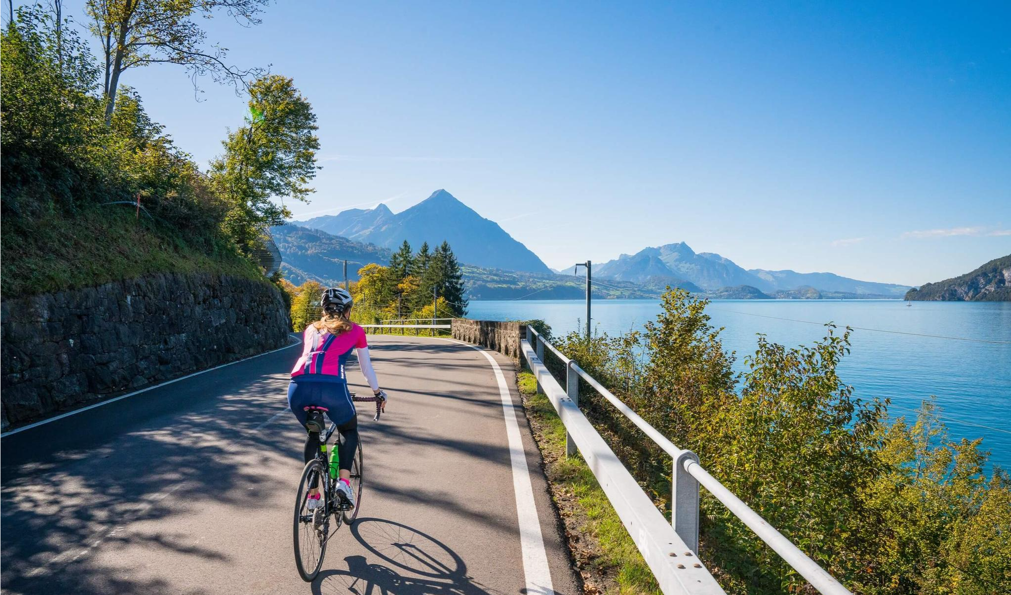
Auf zwei Rädern unterwegs im Berner Oberland

Gravel biking around Oberhofen am Thunersee
Road Cycling Routes around Oberhofen am Thunersee
Hiking around Oberhofen am Thunersee
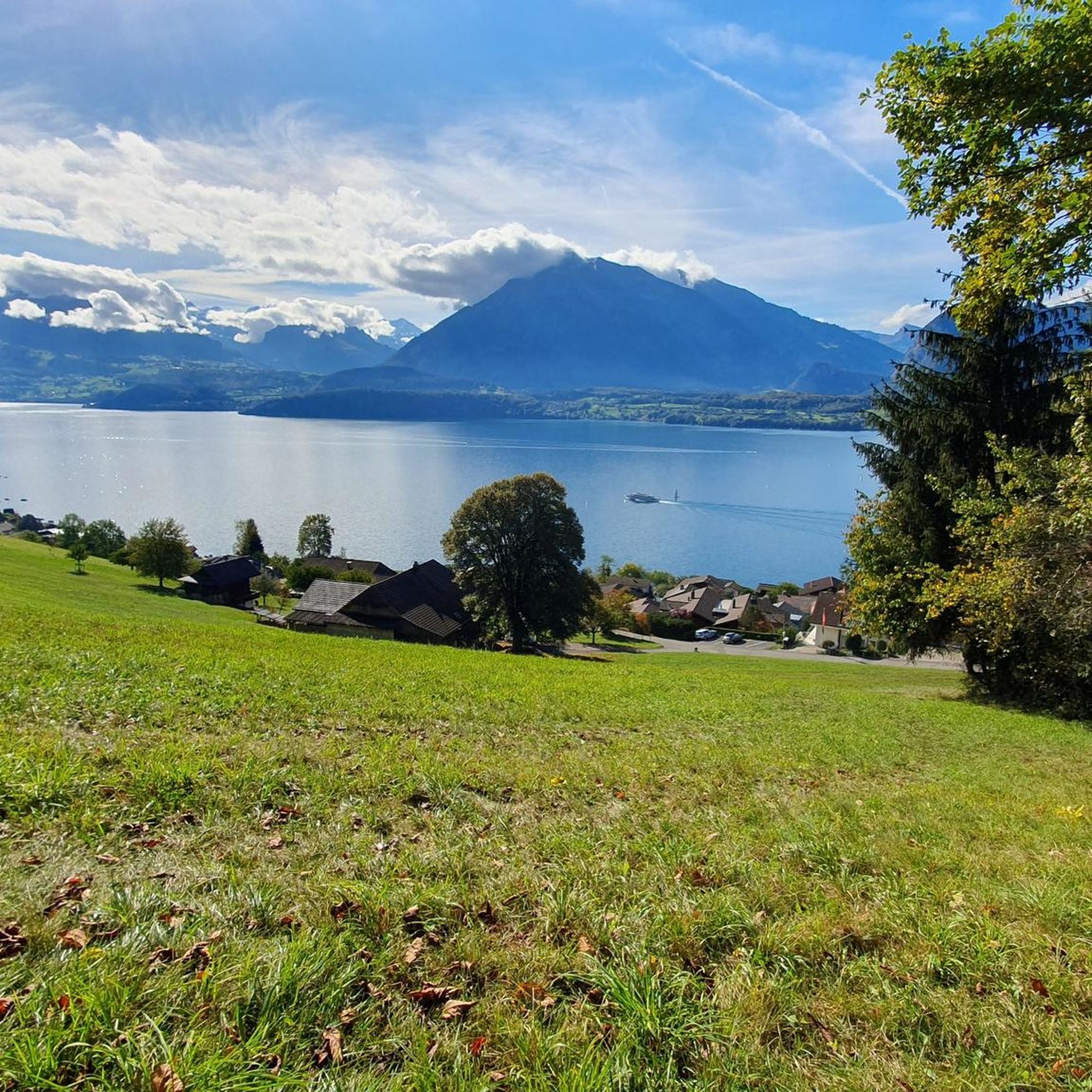
Running Trails around Oberhofen am Thunersee
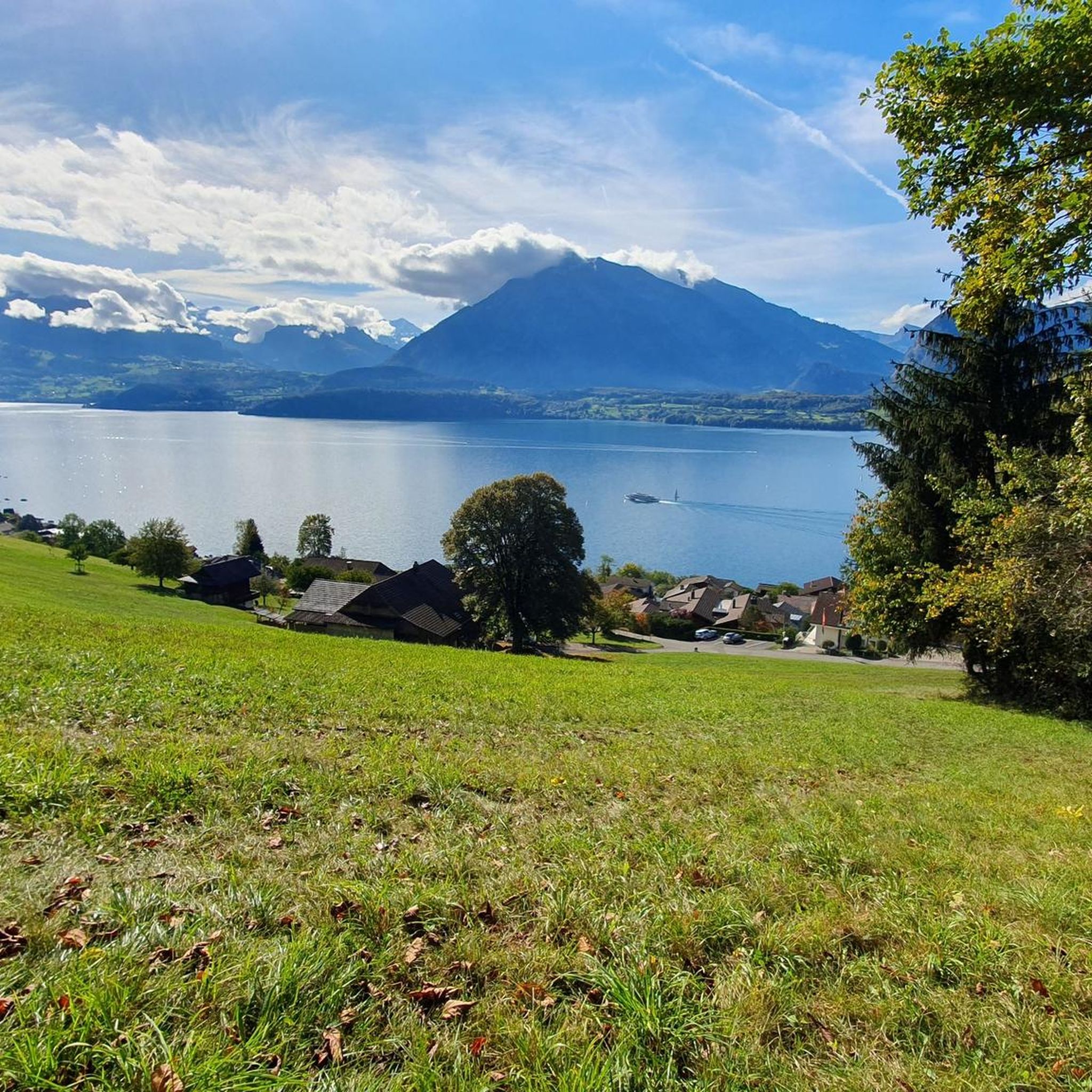
Cycling around Oberhofen am Thunersee
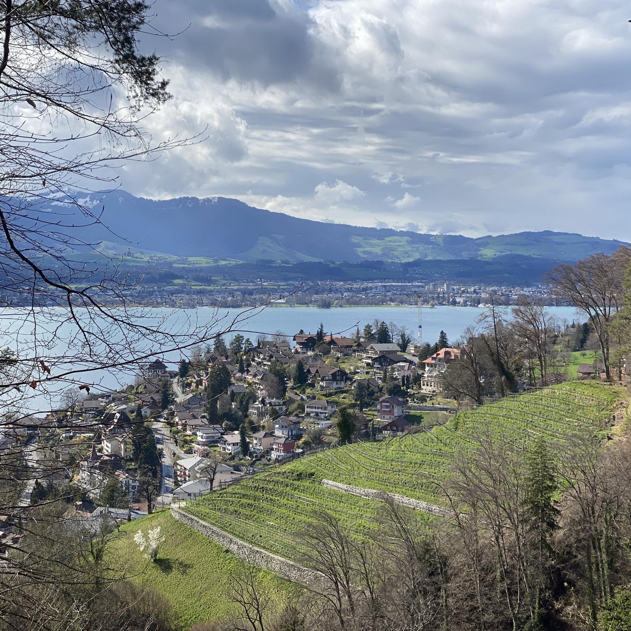
MTB Trails around Oberhofen am Thunersee

Mountain Hikes around Oberhofen am Thunersee
Other adventures around Oberhofen am Thunersee

Tips from the Community

The Gemmenalphorn is a scenic summit above Lake Thun and part of the Niederhorn chain. The distinctive grassy mountain reaches an altitude of 2061 meters and offers an impressive panorama of the Eiger, Mönch, and Jungfrau, as well as the deep blue Lake Thun. The hike from the Niederhorn via the scenic ridge path is particularly popular. In summer, ibex often graze in the area, which is why the region is also highly valued by wildlife observers. Despite its height, the Gemmenalphorn is technically quite easy to reach and ideal for pleasure hikers.
2
0
The ascent from the east can be very tricky in spring, as there may still be snow in exposed places.
2
0
Beautiful and little-frequented summit with panoramic views
7
0

Difficult ascent including easy climbing but at the top everything is forgotten, the effort was worth it, the view is amazing.
0
1

The Sigriswiler Rothorn (2,051 m) is an impressive vantage point high above Lake Thun ⛰️🌊. The ascent is mostly along the ridge and requires surefootedness and a head for heights ⚠️🥾 – caution is advised, especially in wet conditions. At the top, you'll be rewarded with a fantastic 360° panorama: views of the Eiger, Mönch, and Jungfrau, the Mittelland, and Lake Brienz and Lake Thun 🏔️👀 – ideal for a summit rest and impressive photos 📸. Equipment: Sturdy hiking boots, weather protection 🧥, provisions 🥪, water 💧. No food or drink options along the way. Recommendation: Set off early ⏰, and avoid the ridge in uncertain weather. An absolutely worthwhile summit for experienced hikers!
1
0
Wonderful vantage point. Can be reached on snowshoes from the Niederhorn mountain station in about an hour.
2
0
The signpost at the Burgfeldstand is impossible to miss
6
0
Frequently Asked Questions
What natural features and viewpoints can I expect to see around Oberhofen am Thunersee?
The region offers a variety of natural features, including prominent mountain peaks, a large lake, and unique geological formations. You can experience magnificent panoramic views from summits like Burgfeldstand Summit and Sigriswiler Rothorn, which provide 360° vistas of the Eiger, Mönch, Jungfrau, and Lake Thun. The area also features the extensive St. Beatus Caves with their adjacent Waterfall in front of the Beatus Caves, offering views over Lake Thun.
Are there family-friendly natural monuments to visit around Oberhofen am Thunersee?
Yes, the St. Beatus Caves are a great family-friendly option. They feature an illuminated path through impressive stalactite formations, a museum, and a restaurant. According to legend, Saint Beatus lived here, and his grave and a replica of his cell can be viewed at the cave entrance. The nearby Waterfall in front of the Beatus Caves is also easily accessible.
What is the best time to visit the natural monuments around Oberhofen am Thunersee?
The Bernese Oberland, including Oberhofen am Thunersee, is beautiful year-round. For hiking and exploring summits like Sigriswiler Rothorn, the warmer months from late spring to early autumn (May to October) are ideal, offering clear views and pleasant temperatures. The St. Beatus Caves are a good option for a summer trip, providing a cool escape. Some areas, like the Güggisgrat, also offer wonderful views during winter tours.
What kind of geological formations can be found in the region?
The area around Oberhofen am Thunersee is characterized by diverse geological formations. You'll find prominent mountain peaks such as the Sigriswiler Rothorn and Burgfeldstand Summit, which are part of the Emmental Alps and Güggisgrat chain. The St. Beatus Caves represent an extensive cave system with impressive stalactite formations, and the nearby Waterfall in front of the Beatus Caves adds to the natural spectacle.
Are there easy walks to natural monuments around Oberhofen am Thunersee?
Yes, there are several easy walks available. For instance, you can enjoy an easy hike with views of Lake Thun, such as the 'View of Lake Thun from Allmend – View of Lake Thun loop from Oberhofen' which is about 3.9 km. Another easy option is the 'Oberhofen Castle loop from Oberhofen' at 5.7 km. You can find more easy hiking routes in the Hiking around Oberhofen am Thunersee guide.
What outdoor activities can I do near these natural monuments?
The region offers a wide range of outdoor activities. You can explore numerous hiking trails, including those leading to summits like Burgfeldstand Summit or the St. Beatus Caves. Cycling and mountain biking are also popular, with routes like the 'Blueme Observation Tower – Margel Pass Crossing loop from Oberhofen' for MTB or the 'Merligen Church – Lake Thun loop from Oberhofen' for touring bicycles. For more details, check out the Hiking, Cycling, and MTB Trails around Oberhofen am Thunersee guides.
How accessible are the natural monuments by public transport?
Many natural monuments in the Oberhofen am Thunersee region are accessible by public transport. For example, the St. Beatus Caves are well-connected, often with bus services from Interlaken or Thun. For higher summits like Burgfeldstand Summit, you might use mountain railways or cable cars to reach starting points, such as the Niederhorn, making them easily accessible.
What is the difficulty level of hikes to these natural monuments?
The difficulty varies depending on the monument. Summits like Sigriswiler Rothorn are considered challenging, requiring surefootedness and a head for heights, especially along the ridge. Other summits like Burgfeldstand Summit are described as easily accessible. The St. Beatus Caves and the Waterfall in front of the Beatus Caves are generally intermediate and family-friendly. There are also easy hiking routes available, such as the 'View of Lake Thun from Allmend – View of Lake Thun loop from Oberhofen'.
Are there any less-known natural gems worth exploring in the area?
While the main highlights are well-known, the entire Güggisgrat chain, which includes Burgfeldstand Summit and Gemmenalphorn, offers extensive hikes and stunning views that might be less frequented than the most popular spots. Exploring the entire ridge from Niederhorn provides a comprehensive experience of the alpine landscape and panoramic vistas over Lake Thun and the Bernese Alps.
What do visitors enjoy the most about the natural monuments around Oberhofen am Thunersee?
Visitors consistently praise the magnificent panoramic views, especially from summits like Burgfeldstand Summit and Sigriswiler Rothorn, which offer breathtaking 360° vistas of the surrounding mountains and lakes. The unique experience of exploring the St. Beatus Caves and the beautiful setting of the Waterfall in front of the Beatus Caves are also highly appreciated. The tranquil ambiance and stunning alpine backdrop of the region contribute to a memorable experience.
Are there options for circular walks around the natural monuments?
Yes, the region offers several circular walk options. For instance, you can combine a visit to Burgfeldstand Summit with a descent through the Justistal to Beatenbucht for a great mountain hike. There are also specific circular hiking routes available, such as the 'Oberhofen Castle loop from Oberhofen' (5.7 km) or the 'View of Lake Thun – View of Lake Thun from Allmend loop from Oberhofen' (10.4 km). More options can be found in the Hiking around Oberhofen am Thunersee guide.
What should I bring for a hike to the natural monuments?
For hikes to the natural monuments, especially to summits like Sigriswiler Rothorn, it's recommended to bring sturdy hiking boots, weather protection, provisions, and plenty of water, as food and drink options might not be available along all routes. For visits to the St. Beatus Caves, comfortable walking shoes are sufficient.
Most popular routes around Oberhofen am Thunersee
Most popular attractions around Oberhofen am Thunersee

Get inspired with the komoot mobile app


Explore more
Extend your search for the best caves by checking out these guides of the top ones around Oberhofen am Thunersee:
