Top 5 Natural Monuments in the Saint Elias Mountains
Best natural monuments in the Saint Elias Mountains are characterized by a landscape shaped by glaciation and volcanic activity, featuring some of North America's highest peaks and largest glaciers. This region offers a diverse natural environment for exploration. The area is renowned for its vast icefields, towering mountains, and unique geological formations. Visitors can experience a range of natural features, from active glaciers to significant river valleys.
Best natural monuments in the Saint Elias Mountains
- The most popular natural monuments…
Last updated: July 10, 2026
Kathleen Lake (Mät’àtäna Män)
Highlight • Lake
Showing Translation
Tip by

Kaskawulsh Glacier
Highlight • Natural Monument
Showing Translation
Tip by
Sign up now to discover places like this
Get recommendations on the best single tracks, peaks, & plenty of other exciting outdoor places.
Sign up for free
King's Throne
Highlight • Summit
parks.canada.ca/pn-np/yt/kluane/activ/randonnee-hiking/kings-throne
Translated by Google •
Tip by
View of Ä’äy Chù Valley
Highlight • Viewpoint
Showing Translation
Tip by
Sheep Creek Trail
Highlight • Trail
It leads up to just above the tree line and with a bit of luck, you can observe Dall sheep.
Showing Translation
Tip by

Thechàl Dhâl Visitor Centre
Highlight • Rest Area
Translated by Google •
Tip by
Start today with a free account
Your next adventure awaits.
Login or Signup
Popular around Saint Elias Mountains



Tips from the Community

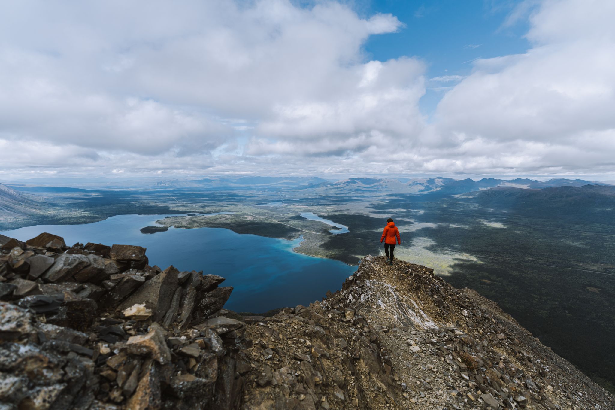
You could spend hours strolling along the shore of this large, beautiful lake, with new views opening up time and time again. Unfortunately, the adjacent trails were closed due to bears.
0
0


This hike should not be missed. It leads up to just above the tree line and with a bit of luck, you can observe Dall sheep.
1
0

The 'Thechàl Dhâl Visitor Center' is located on the Alaska Highway / Kluane Lake about 1 hour north of Haines Junction. Thechàl Dhâl Visitor Center is open from May 19th to September 4th from 10am to 4pm. From the center's outdoor deck, fixed binoculars can be used in spring and autumn to see Dall sheep on the south-east slope of nearby Thechàl Dhâl' Mountain. https://parks.canada.ca/pn-np/yt/kluane/visit/services/info
2
0
The ‘Kaskawulsh Glacier‘ is a huge glacier in the ‘St. Elias Mountain Range‘. It covers an area of more than 39,000 km2 and consists of two converging outlet glaciers that are more than 6 km wide. The glacial water flows into two large river valleys, the Slims River and the Kaskawulsh River. However, due to the glacier's retreat, only a small amount of meltwater has been flowing into the Slims River since the spring of 2016.
2
0
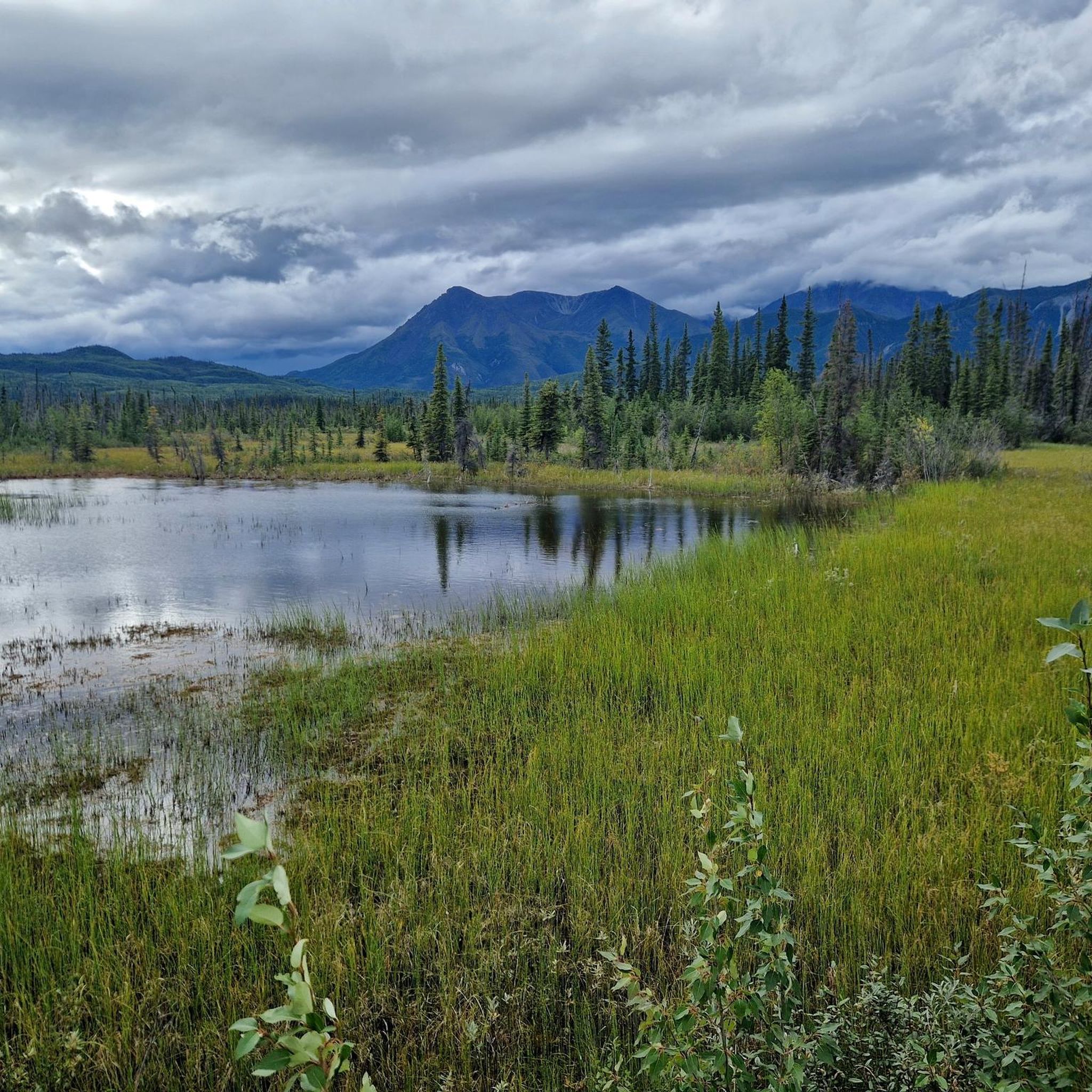
The Slims River (‘ä’äy Chù) is a river fed by the ‘Kaskawulsh Glacier‘ in the ‘St. Elias Mountain Range‘, which flows into the southern end of ‘Kluane Lake‘ after about 24 km, and from there into the Yukon River and the Bering Sea. Like most glaciers worldwide, the ‘Kaskawulsh Glacier‘ has also shown a significant retreat over the last decades. As a result, the flow direction of the Slims River changed in the spring of 2016. Now, the majority of the glacial meltwater flows east into the Kaskawulsh River, which leads to the Alsek River and the Pacific Ocean. This was the first time that human-induced climate change was involved in the rearrangement of a major river.
2
0
The magnificently located Mät’àtäna Män Lake (Kathleen Lake) is situated south of Haines Junction on the Haines Highway. Kathleen Lake is one of the main attractions of the national park, with opportunities for hiking and recreation. Near the lake, there is a well-maintained campsite with toilets and access to fresh drinking water. https://parks.canada.ca/pn-np/yt/kluane/visit/services/kathleen
2
0
The path to 'King's Throne', a basin below the summit, is steep, unpaved and unmarked. Snow conditions in spring, even in the lower regions, make the ascent difficult. https://parks.canada.ca/pn-np/yt/kluane/activ/randonnee-hiking/kings-throne
2
0
Frequently Asked Questions
What unique geological features define the natural monuments in the Saint Elias Mountains?
The Saint Elias Mountains are characterized by a dramatic interplay of volcanism and glaciation. You'll find some of North America's highest peaks, largest glaciers, and diverse ecosystems. Notable features include massive icefields like the Bagley Icefield, active volcanoes such as Mount Wrangell, and unique glacial formations like the Malaspina Glacier, North America's largest piedmont glacier.
Are there any active glaciers I can visit in the Saint Elias Mountains?
Yes, the region is home to several impressive glaciers. The Kaskawulsh Glacier is a huge glacier in the St. Elias Mountain Range. The Hubbard Glacier is also notable as the longest tidewater glacier in Alaska, known for its active calving events. The Nabesna Glacier is the world's longest valley glacier, extending over 53 miles.
What are some challenging natural monuments for experienced hikers?
For experienced hikers seeking a challenge, King's Throne offers a rewarding experience. The path to the basin below the summit is steep, unpaved, and unmarked, requiring careful navigation. Additionally, the sheer scale of peaks like Mount Saint Elias presents extreme challenges for mountaineers.
Are there family-friendly natural monuments to visit?
Absolutely. Kathleen Lake (Mät’àtäna Män) is a beautifully situated lake that serves as one of the national park's main attractions, offering opportunities for recreation and featuring a well-maintained campsite. The Thechàl Dhâl Visitor Centre is also family-friendly, providing a great starting point for exploring the area.
Where can I learn more about the region's natural history and geology?
The Thechàl Dhâl Visitor Centre is an excellent resource for information on the Saint Elias Mountains' natural history and geology. Additionally, the Wrangell-St. Elias National Park and Preserve offers extensive information on its official website, which you can find at nps.gov.
What is the best time of year to visit the natural monuments in the Saint Elias Mountains?
The best time to visit is generally during the summer months, from late May to early September, when trails are most accessible and weather conditions are more favorable for outdoor activities. This period offers the best opportunities for hiking, flightseeing, and experiencing the glaciers and peaks.
Are there opportunities to see wildlife near these natural monuments?
Yes, the Saint Elias Mountains are home to diverse wildlife. The Sheep Creek Trail is particularly known for potential sightings of Dall sheep, especially above the tree line. The broader region is a vast wilderness, offering chances to see various species in their natural habitat.
How has glacial retreat impacted the natural monuments in the Saint Elias Mountains?
Glacial retreat has significantly impacted the landscape. For example, the View of Ä’äy Chù (Slims River) Valley highlights how the Slims River, once fed by the Kaskawulsh Glacier, changed direction due to glacial meltwater flow. This demonstrates the dynamic and ever-changing nature of the region's glacial features.
What kind of outdoor activities can I do near the natural monuments?
The Saint Elias Mountains offer a wide range of outdoor activities, primarily hiking. You can find various routes, from easy strolls to challenging treks. For more detailed information on hiking options, explore the Hiking in the Saint Elias Mountains guide or the Easy hikes in the Saint Elias Mountains guide.
Are there easy trails to access some of the natural monuments?
Yes, there are easier options available. For instance, the Kathleen Lake (Mät’àtäna Män) area offers accessible trails suitable for a more relaxed experience. You can also find several easy hiking routes listed in the Easy hikes in the Saint Elias Mountains guide, such as the Soldiers Summit trail.
What is the Malaspina Glacier, and why is it significant?
The Malaspina Glacier is North America's largest piedmont glacier, a vast lobe of ice spread out over a wide plain at the foot of mountains. It's significant for its immense size, spanning 40 miles wide, and for the unusual phenomenon of vegetation taking root on its silt-covered extremities, showcasing a unique aspect of glacial dynamics.
Can I visit the Bagley Icefield, and what makes it special?
The Bagley Icefield is North America's largest subpolar icefield, covering a significant portion of the park's interior and serving as the source for several large glaciers. While direct access can be challenging, flightseeing tours often provide the most comprehensive and awe-inspiring views of this vast expanse of ice, allowing visitors to grasp the sheer scale of glaciation in the region.
Most popular routes in the Saint Elias Mountains
Most popular attractions in the Saint Elias Mountains

Get inspired with the komoot mobile app


Explore more
Extend your search for the best caves by checking out these guides of the top ones in the Saint Elias Mountains:
