Top 16 Natural Monuments in Vesthimmerland
Best natural monuments in Vesthimmerland encompass a diverse landscape, from coastal cliffs and expansive heathlands to significant freshwater lakes and historical sites. This Danish municipality features a blend of natural beauty and cultural heritage, often with sites overlooking the Limfjord. The region offers varied experiences for outdoor enthusiasts, with many areas shaped by glacial activity and ancient human settlements.
Best natural monuments in Vesthimmerland
- The most popular natural monuments is Bispehuen (Bishop's Mitre) Rock Formation, a natural monument with a viewpoint. This site features impressive remains of a former clay pit, showcasing a hilly landscape formed by glaciers.
- Another must-see spot is Ulbjerg Klint Viewpoint Over Lovns Bredning, a viewpoint and natural monument. This 30-meter high cliff offers views over Lovns Bredning and the Limfjord, set within a 200-hectare nature reserve.
- Visitors also love Knudshoved Cliffs, a natural monument with a viewpoint. This location provides views of the cliff edge and the clear Limfjord below.
- Vesthimmerland is known for its diverse natural monuments, including impressive cliffs, ancient burial mounds, and unique rock formations. The region offers a variety of natural monuments to see and explore, from historical sites to pristine lakes.
- The natural monuments in Vesthimmerland are appreciated by the komoot community, with 9 upvotes and 27 photos shared across various highlights.
Last updated: July 10, 2026
Myrhøj Stone Row and Burial Mound
Highlight • Historical Site
Source: Wikipedia
Translated by Google •
Tip by

Bispehuen (Bishop's Mitre) Rock Formation
Highlight • Natural Monument
Translated by Google •
Tip by

Sign up now to discover places like this
Get recommendations on the best single tracks, peaks, & plenty of other exciting outdoor places.
Sign up for free
Ulbjerg Klint Viewpoint Over Lovns Bredning
Highlight • Viewpoint
This cliff is part of a 200 hectare nature reserve, a typical Limfjord landscape with clayey cliffs, beach, meadows, heather hills and burial mounds. The many burial mounds prove that this area once offered good living conditions.
You can also swim from the beach, but a lot of seaweed washes up, which smells accordingly.
In May the whole area is colored purple due to tens of thousands of flowering pasque flowers.
Lovns Bredning, a body of water in the southeastern part of the Limfjord that is about 50 square kilometers in size and up to 9 m deep. It is bordered to the north by the Lovns peninsula, along which a 1 km wide inlet from the Hvalpsund connects it to the Limfjord north of the Lundø peninsula. To the south the shore is bordered by the Fjends peninsula. Here a channel leads towards Virksund and Hjarbæk Fjord. To the east, Lovns Bredning is bordered by a wide shallow water whose sand reefs merge into a raised seabed, especially at the mouth of Lerkenfeld Ås.
ETYMOLOGY From the place name Lovns, 1389 Lonnes, from Loghn 'the rest', the original name of the waterway, and næs.
Translated by Google •
Tip by

Knudshoved Cliffs
Highlight • Natural Monument
Translated by Google •
Tip by

The Red Rock
Highlight • Natural Monument
Translated by Google •
Tip by

Sign up for free to discover even more natural monuments in Vesthimmerland.
Sign up for free
Already have an account?
Start today with a free account
Your next adventure awaits.
Login or Signup
Popular around Vesthimmerland
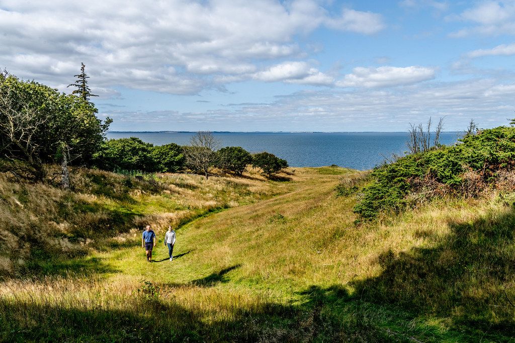
Fjords, heathland and vast coastline – hiking and cycling in Himmerland

European Divide Trail — 7,600 km across the continent
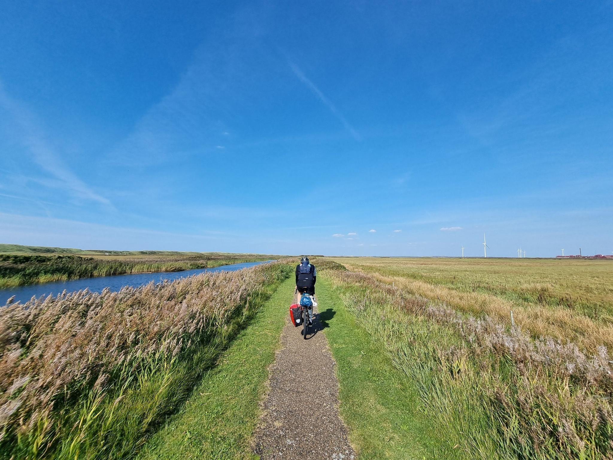
The Danish coast-to-coast – Limfjord Route
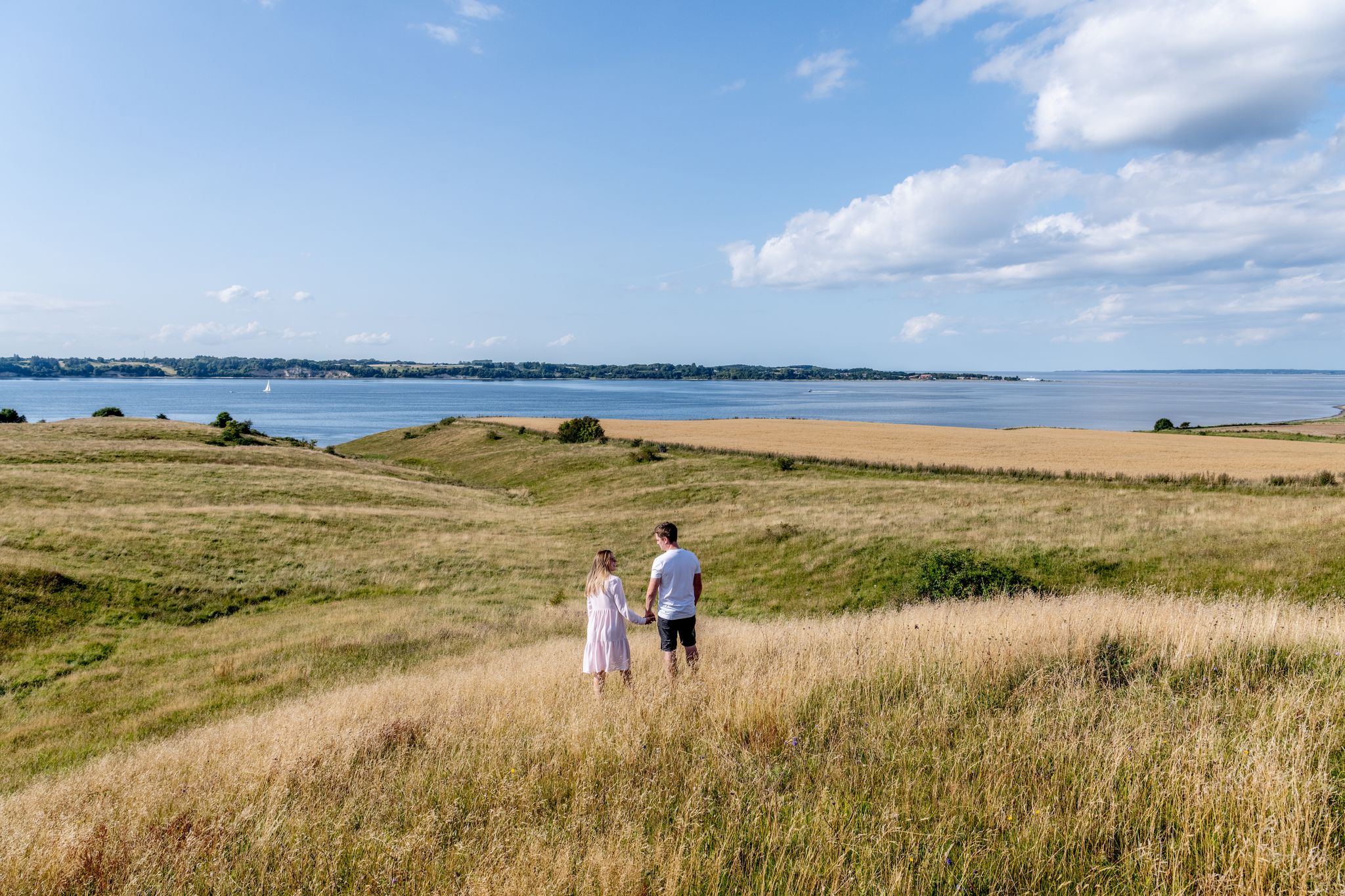
Himmlische Wanderungen im dänischen Himmerland
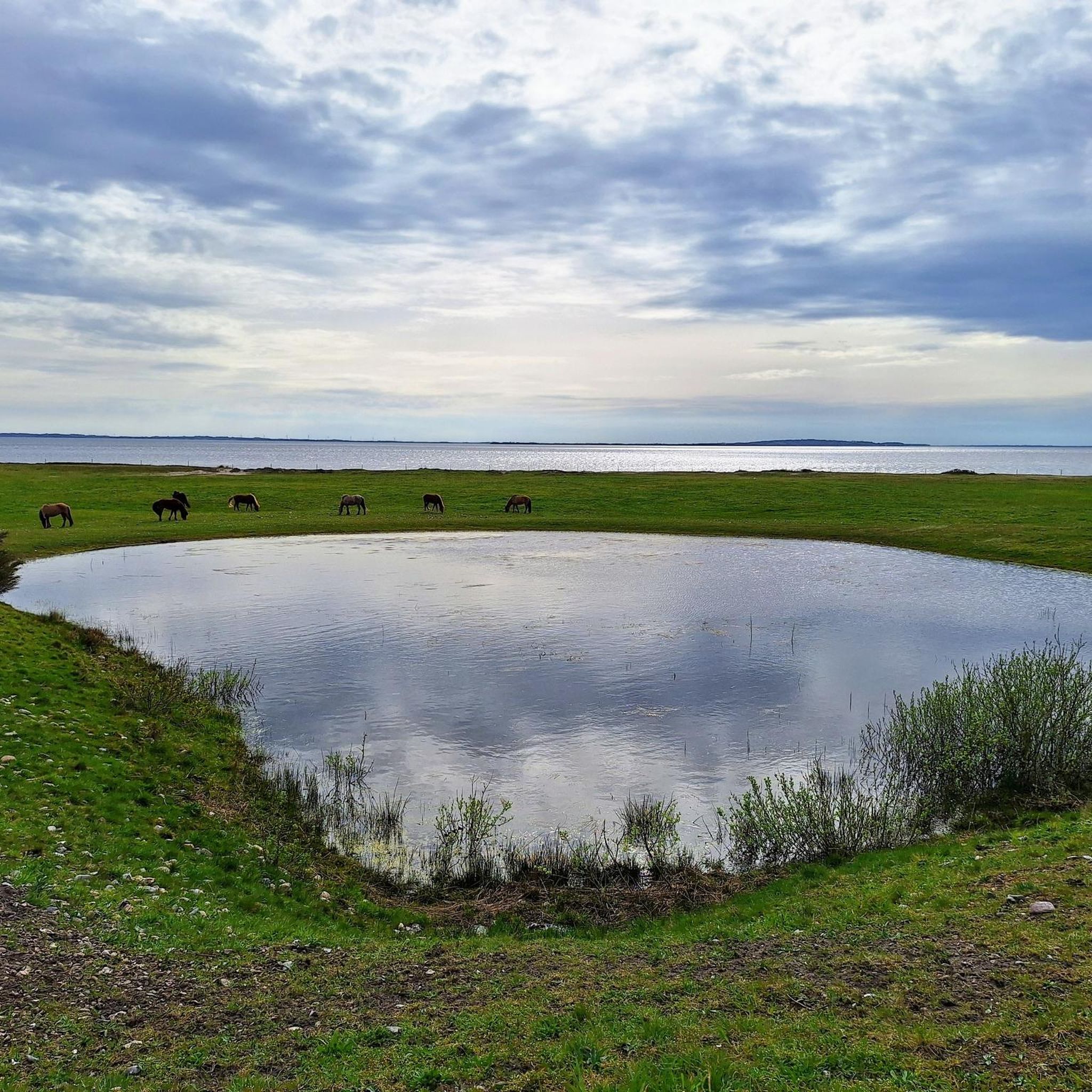
Hiking in Vesthimmerland
Cycling in Vesthimmerland
Road Cycling Routes in Vesthimmerland
Running Trails in Vesthimmerland
MTB Trails in Vesthimmerland

Gravel biking in Vesthimmerland
Other adventures in Vesthimmerland


Tips from the Community

It is truly unique
0
0

The 30 m high cliff is a natural pearl on the Limfjord. From here you have a very beautiful view. This cliff is part of a 200 hectare nature reserve, a typical Limfjord landscape with clayey cliffs, beach, meadows, heather hills and burial mounds. The many burial mounds prove that this area once offered good living conditions. You can also swim from the beach, but a lot of seaweed washes up, which smells accordingly. In May the whole area is colored purple due to tens of thousands of flowering pasque flowers. Lovns Bredning, a body of water in the southeastern part of the Limfjord that is about 50 square kilometers in size and up to 9 m deep. It is bordered to the north by the Lovns peninsula, along which a 1 km wide inlet from the Hvalpsund connects it to the Limfjord north of the Lundø peninsula. To the south the shore is bordered by the Fjends peninsula. Here a channel leads towards Virksund and Hjarbæk Fjord. To the east, Lovns Bredning is bordered by a wide shallow water whose sand reefs merge into a raised seabed, especially at the mouth of Lerkenfeld Ås. ETYMOLOGY From the place name Lovns, 1389 Lonnes, from Loghn 'the rest', the original name of the waterway, and næs.
2
0

The hilly landscape formed by glaciers, the cliffs and the moler pits (a special type of clay) in the northern part of Fur are of particular interest to geologists. The remaining remains of a former clay pit, called "Bispehue" (bishop's hat), are impressive.
0
0
Myrhøj burial mound is accessed by a series of large stones that are believed to have been erected for cult ceremonies. The mound itself was built in the early Bronze Age (1700-1100 BC) for the burial of an important person. Several burials were also made here later. The mound was archaeologically investigated in the 1960s and reconstructed afterwards. https://slks.dk/doil/stederne/myrhoej-gravhoej-og-stenraekker
0
0
The 30 m high cliff is a natural jewel on the Limfjord with a great view over Lovns Bredning and forms the central part of a 200 ha area that was declared a protected area in 1969. The cliff top is crowned by two large hills from the Bronze Age: Store and Lille Klinthøj.
0
0

The tallest of the red sandstone cliffs here. The color and size alone is impressive. I see a sleeping red dragon lying here on the beach. And what do you see?
0
0

The stone row at Myrhøj (Danish Stenrække ved Myrhøj) is located on Løgstørvej by Aars in western Himmerland, near Ertebølle not far from the Limfjord in Denmark. The 70 m long Bronze Age (1800 BC to 500 BC) stone line starting at the edge of the hill is now the only ancient monument at Myrhøj and the longest of the few surviving stone lines in the north. Only 9 of the 29 stones were in situ, the rest were re-erected. The area is known for the first Danish evidence of the Bell Beaker culture from the Stone Age (2500-2000 BC) in the form of a settlement with remains of houses. Among the finds was a slate armguard. A burial mound from the Bronze Age and a cairn from the Iron Age were discovered and preserved southeast of Myrhøj as early as 1952, while the stone circle around the burial mound ended with a bowl stone with 54 little bowls. The same applies to a stone with five bowls and two small stones from the row. Source: Wikipedia
2
0

Nice view of the edge of the cliff. Below is the clear Limfjord with sand and seagrass meadows.
1
0
Frequently Asked Questions
What unique geological features can I find among Vesthimmerland's natural monuments?
Vesthimmerland is rich in geological wonders. You can explore the moler (diatomaceous earth) cliffs at The Red Rock and Ertebølle Hoved, which contain volcanic ash layers dating back 55 million years. The region also features landscapes shaped by glaciers, such as the hilly terrain around Bispehuen (Bishop's Mitre) Rock Formation, and the clayey cliffs of Ulbjerg Klint with stones from the Ice Age.
Are there good hiking trails around Vesthimmerland's natural monuments?
Yes, Vesthimmerland offers a variety of hiking opportunities. For instance, Livø island has a 10-kilometer route, and De Himmerlandske Heder features a 20-kilometer marked trail. You can also find trails around Vilsted Sø, which has an extensive 20-kilometer network of paths. For more hiking options, explore the Hiking in Vesthimmerland guide.
Which natural monuments in Vesthimmerland offer the best views?
For breathtaking views, visit Ulbjerg Klint Viewpoint Over Lovns Bredning, a 30-meter high cliff offering panoramic vistas of Lovns Bredning and the Limfjord. Knudshoved Cliffs also provide excellent views of the cliff edge and the clear Limfjord. Aggersborg, while a historical site, offers strategic views over the Limfjord.
Are Vesthimmerland's natural monuments suitable for families?
Many natural monuments in Vesthimmerland are family-friendly. Bispehuen (Bishop's Mitre) Rock Formation is listed as family-friendly. Vilsted Sø is ideal for families, with easy walking and cycling paths, and opportunities for birdwatching. Livø island, being car-free, offers a safe and tranquil environment for exploration, including seal safaris and fossil hunting.
When is the best time to visit Vesthimmerland's natural monuments?
The best time to visit depends on your interests. In May, Ulbjerg Klint is particularly vibrant with thousands of flowering pasque flowers. Late summer is ideal for De Himmerlandske Heder when the heather blooms, creating a reddish-purple carpet. Birdwatchers will enjoy Vilsted Sø in late summer for the 'Sort Sol' (black sun) phenomenon. Generally, spring and summer offer pleasant weather for outdoor activities.
Do Vesthimmerland's natural monuments have historical significance?
Absolutely. Many natural monuments are intertwined with history. Aggersborg is a UNESCO World Heritage Site, known for its Viking ring fortress and strategic location. Myrhøj Stone Row and Burial Mound dates back to the Bronze Age. Ulbjerg Klint features ancient burial mounds, and Ertebølle Hoved is near the famous Ertebølle Kitchen Midden, significant to the Mesolithic Ertebølle culture. Frederik VII's Kanal is a man-made historical monument showcasing 19th-century engineering.
Can I spot wildlife at the natural monuments in Vesthimmerland?
Yes, wildlife spotting is a highlight. Vilsted Sø is a haven for diverse resident and migratory birds, with observation towers available. Livø island is home to numerous bird species and curious seals, especially around Livø Tap. De Himmerlandske Heder supports diverse flora and fauna, including grazing sheep and cattle. Hverrestrup Bakker is known for agile frogs and varied ecosystems.
Are there opportunities for cycling or mountain biking near these natural monuments?
Yes, the region provides excellent cycling and mountain biking routes. Vilsted Sø has an extensive network of paths suitable for cycling. For mountain biking enthusiasts, you can find various trails, including those near Urhøje Plantage and Myrhøj Plantage. Explore more options in the MTB Trails in Vesthimmerland guide.
What makes Livø island a special natural monument?
Livø, often called the 'pearl of the Limfjord,' is a car-free island offering exceptional tranquility and nearly all Danish nature types in a compact area. It features beautiful beaches, lush meadows, ancient oak forests, coastal cliffs, and moorland. Its car-free status ensures peace, making it ideal for walking, guided nature tours, and seal safaris.
What kind of plants and flowers can I see?
Vesthimmerland's natural monuments boast diverse flora. Ulbjerg Klint is famous for thousands of flowering pasque flowers in May. De Himmerlandske Heder is characterized by heather, which blooms in late summer. Navnsø, one of Denmark's cleanest lakes, is a botanist's paradise due to its rare and preserved plants, including specific 'lobelia lake' species. Frederik VII's Kanal also preserves unique plant species in its chalk grasslands and salt marshes.
Are there any natural monuments that are particularly good for birdwatching?
Vilsted Sø is an outstanding location for birdwatching. As the largest freshwater lake in North Jutland, it's a critical habitat for a rich diversity of resident and migratory birds. Observation towers are available, and in late summer, you can witness the spectacular 'Sort Sol' (black sun) phenomenon as starlings gather.
What is the significance of Ertebølle Hoved?
Ertebølle Hoved is significant both geologically and historically. Geologically, it's a 20-meter high cliff composed of folded moler layers with volcanic ash, dating back 55 million years. Historically, it's closely associated with the Ertebølle culture, a Mesolithic hunter-gatherer society, due to the nearby Ertebølle Kitchen Midden, which gave the culture its name.
Can I swim at any of the natural monuments?
Yes, swimming is possible at certain locations. You can swim from the beach at Ulbjerg Klint, though be aware that seaweed can wash up. Navnsø, known for its clear, clean water and sandy bottom, is also popular for swimming.
Most popular routes in Vesthimmerland
Most popular attractions in Vesthimmerland

Get inspired with the komoot mobile app


Explore more
Extend your search for the best caves by checking out these guides of the top ones in Vesthimmerland:
