Top 8 Natural Monuments in Þingeyjarsveit
Natural monuments in Þingeyjarsveit, a municipality in northeastern Iceland, are characterized by dramatic waterfalls and unique geological formations. This region offers insights into Iceland's volcanic landscape and rich cultural history. Visitors can explore a diverse range of natural attractions, from powerful waterfalls to ancient volcanic remnants. The landscape provides a backdrop for outdoor activities and appreciation of geological processes.
Best natural monuments in Þingeyjarsveit
- The most popular natural monuments is Goðafoss, a waterfall fed by the Skjálfandafljót river. It…
Last updated: November 9, 2026
Goðafoss
Highlight • Waterfall
Translated by Google •
Tip by

Godafoss 'the beauty' Waterfall
Highlight • Waterfall
The Geitafoss is not very high or wide, but is admired …
Translated by Google •
Tip by

Sign up now to discover places like this
Get recommendations on the best single tracks, peaks, & plenty of other exciting outdoor places.
Aldeyjarfoss Waterfall
Highlight • Waterfall
Translated by Google •
Tip by

Skjálfandafljót
Highlight • River
Translated by Google •
Tip by
Vindbelgjarfjall Summit
Highlight • Summit
Translated by Google •
Tip by
the first crossing of the lava field
Highlight • Natural Monument
Translated by Google •
Tip by
Start today with a free account
Your next adventure awaits.
Popular around Þingeyjarsveit
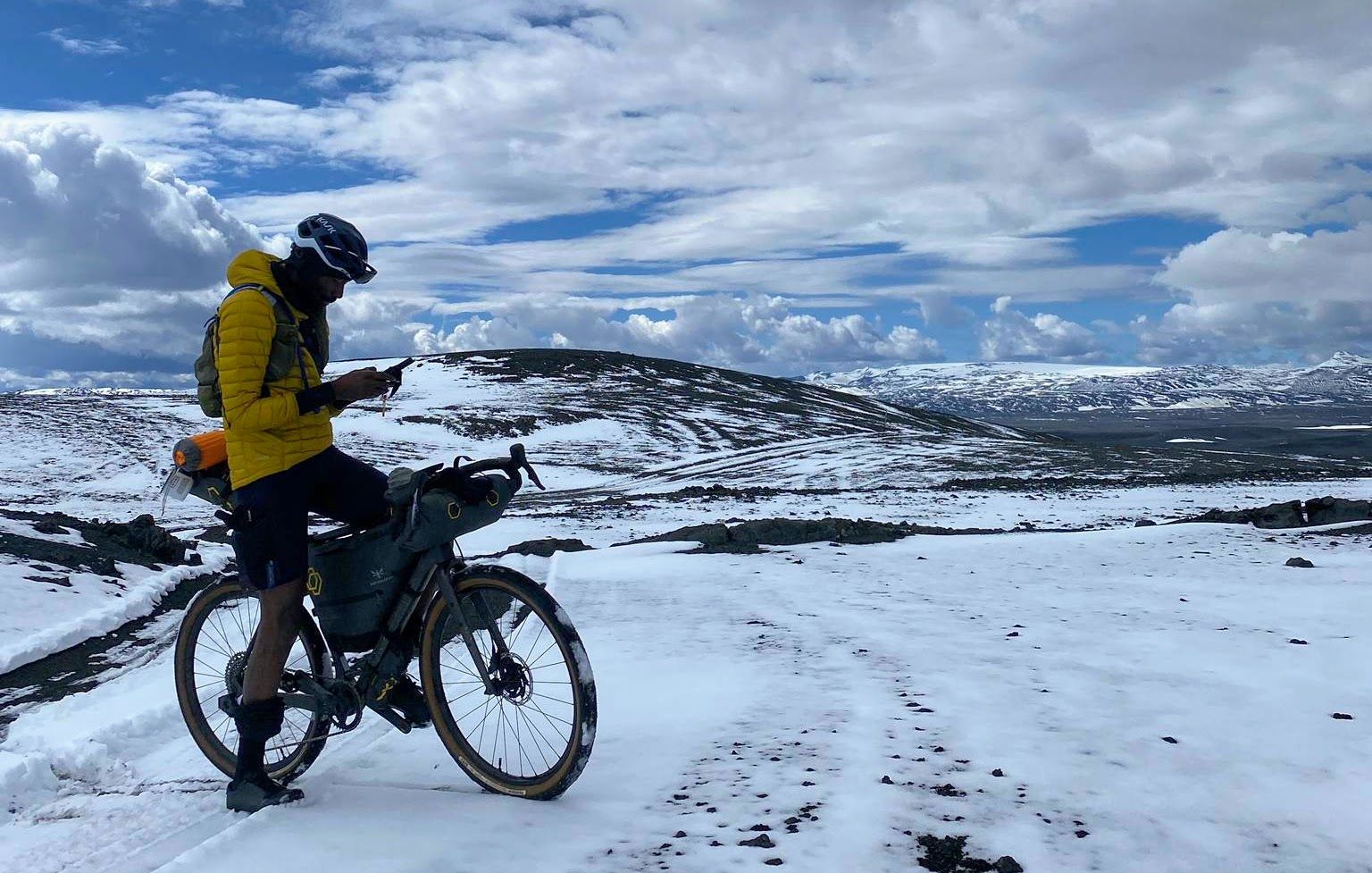
Iceland Divide – Lava fields, icy glaciers and river crossings
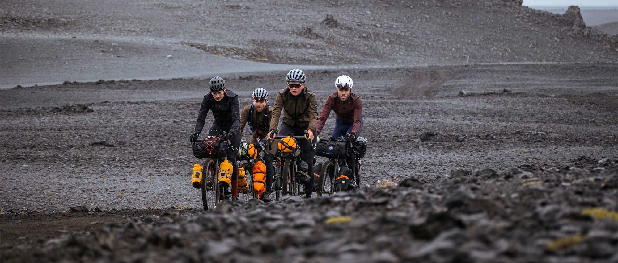
Iceland Divide — Ride Beyond Crew: between fire and ice
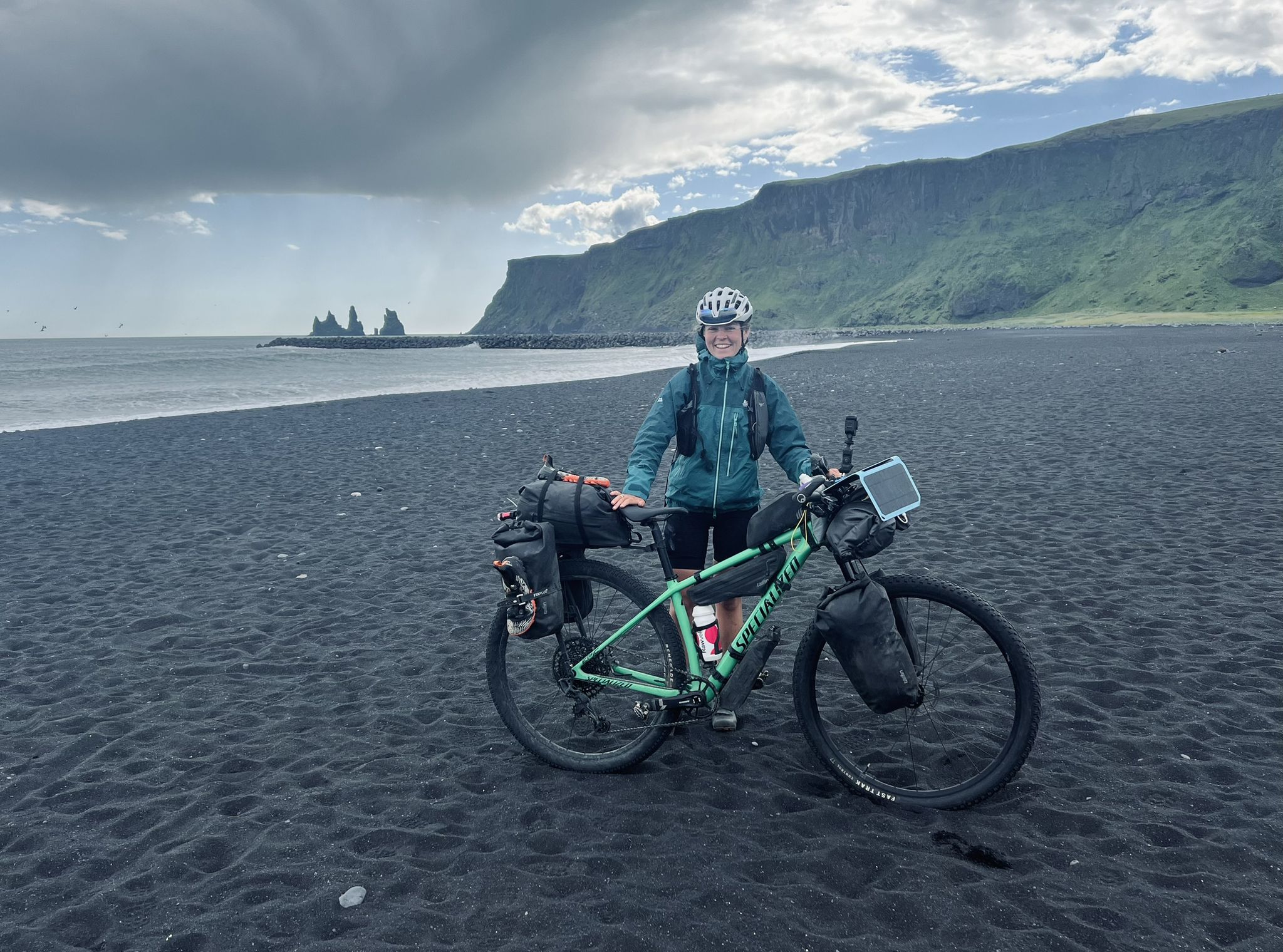
Solitude in the saddle – Iceland Divide
Hiking in Þingeyjarsveit
Running Trails in Þingeyjarsveit
Cycling in Þingeyjarsveit
MTB Trails in Þingeyjarsveit
Road Cycling Routes in Þingeyjarsveit
Other adventures in Þingeyjarsveit


Tips from the Community

A very impressive waterfall. There are no hiking trails there. You have to find your own way.
0
0

Beautiful, very impressive waterfall. We saw canoes plunging down it. Easily accessible, as it is almost directly on the road.
4
0


This beautiful mountain on the banks of the Myvatn can be climbed in a good three quarters of an hour. If the weather is good, you have a great view from here over the Myvatn, the swamp area where numerous birds breed, and all the way to the Námaskarð thermal area. However, in summer you can expect thousands of flies. Tip: a cloth over your mouth, nose and ears helps. After a third of the way, the overgrown part is done and the wind blows the flies away :)
9
0

In good weather perhaps nothing special, although a nice landmark. The snow makes it wonderful not to sink knee-high through the snow.
10
0
The Skjálfandafljót is the fourth longest river in Iceland, approximately 178 km long. The river originates at the northwestern border of the Vatnajökull ice cap on the highlands of Iceland. From there it flows north parallel to the Sprengisandur Highland road, eventually flowing into Skjálfandi Bay after the Goðafoss.
11
0
The Geitafoss is a smaller waterfall located near the famous Godafoss. This waterfall is part of the Skjálfandafljót river. The Geitafoss is not very high or wide, but is admired for its dramatic current and the beautiful scenery surrounding it. The waterfall is about 16 feet (about five meters) high. Although it is not one of the highest waterfalls in North Iceland, it is still relatively powerful - it can produce an impressive amount of spray for its size. The rugged cliffs surround the waterfall, and the area around it is usually lush and green in summer, adding to its charm.
11
0
This waterfall, located in the course of the Skjálfandafljót, is divided into several branches and flows into a valley of basalt rocks. It impresses less by its dimensions (12 m high and 30 m wide) than by its strength and beauty. The Goðafoss, or waterfall of the gods, owes its name to the fact that a chief farmer and law speaker threw the idols from his temple into the water at this location, symbolically renounced paganism. He did this on his way home, after parliament had adopted Christianity as the national religion of Iceland.
8
1
Frequently Asked Questions
What are the most popular natural monuments in Þingeyjarsveit?
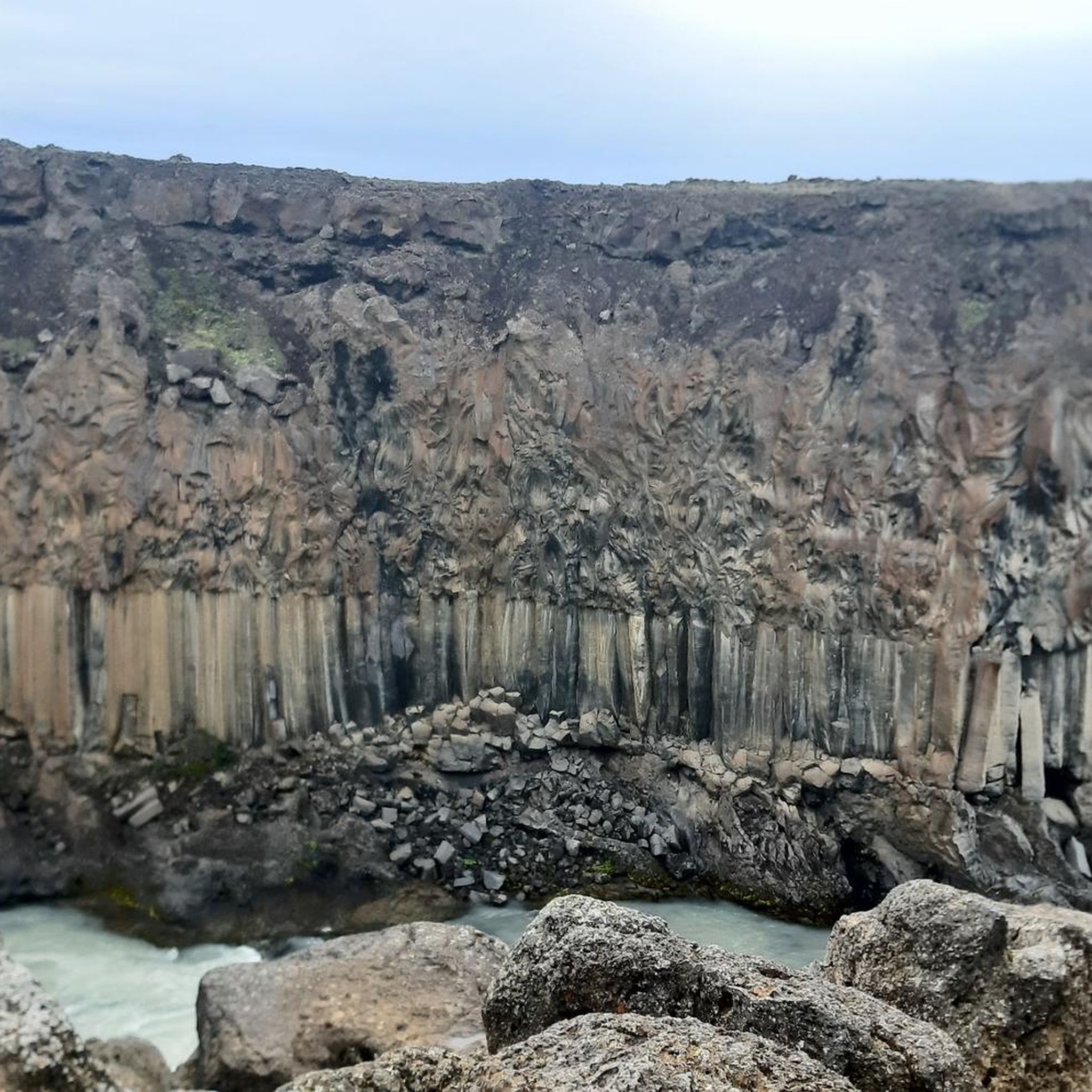
Among the most popular natural monuments in Þingeyjarsveit is Goðafoss, known as 'the waterfall of the gods' for its historical significance and impressive horseshoe shape. Another highly regarded site is Aldeyjarfoss Waterfall, famous for its dramatic basalt columns. Visitors also enjoy the panoramic views from Vindbelgjarfjall Summit.
What geological features can I expect to see in Þingeyjarsveit?
Þingeyjarsveit is rich in diverse geological formations. You'll encounter powerful waterfalls like Goðafoss, fed by the Skjálfandafljót river, and the unique basalt columns framing Aldeyjarfoss Waterfall. The region also features remnants of Ice Age volcanoes, such as Vindbelgjarfjall Summit, and vast lava fields, offering a glimpse into Iceland's volcanic landscape.
What is the best time of year to visit the natural monuments in Þingeyjarsveit?
The summer months (June to August) are generally the best time to visit, as the weather is milder, and the landscapes are lush and green. Waterfalls like Godafoss 'the beauty' Waterfall are particularly vibrant. However, some remote locations like Askja Caldera are only accessible during summer due to road conditions. Winter offers a different, often snow-covered and ethereal experience, but accessibility can be limited.
Are there any historical or cultural aspects associated with these natural monuments?
Yes, Goðafoss Waterfall holds significant historical importance. Legend states that around the year 1000, a pagan chieftain threw his idols into the waterfall after Christianity became the official religion of Iceland, giving it the name 'waterfall of the gods'.
Are there family-friendly natural monuments in Þingeyjarsveit?
Absolutely. Goðafoss and Godafoss 'the beauty' Waterfall are both considered family-friendly, offering accessible viewpoints and trails suitable for all ages. Their proximity to Highway 1 also makes them easy to reach.
How accessible are the natural monuments in Þingeyjarsveit?
Many natural monuments in Þingeyjarsveit are quite accessible. Goðafoss, for instance, is conveniently located right next to Highway 1, making it very easy to reach. Other sites, like Aldeyjarfoss Waterfall, are more remote and may require a suitable vehicle and a short hike.
What outdoor activities can I do near the natural monuments in Þingeyjarsveit?
Þingeyjarsveit offers a variety of outdoor activities. You can find numerous hiking trails, such as the 'Goðafoss Waterfall – Goðafoss loop' or the 'Aldeyjarfoss Waterfall loop'. For cycling enthusiasts, there are routes like the 'Skútustaðagígar Pseudocraters – Grjótagjá Cave loop'. You can explore more options for hiking, running, and cycling in the region.
Are there hiking trails available near the natural monuments?
Yes, there are several hiking trails. For example, near Goðafoss, you can find a moderate 2.5 km loop. The area around Aldeyjarfoss Waterfall also offers a moderate 8 km loop. You can discover more hiking routes and their difficulty levels in the Hiking in Þingeyjarsveit guide.
What views can I expect from Vindbelgjarfjall Summit?
From Vindbelgjarfjall Summit, you can expect panoramic views of the surrounding landscape, including Lake Mývatn and its unique pseudocraters. It provides a stunning vantage point for appreciating the region's volcanic topography and the vastness of the Icelandic wilderness.
Is there a place for wild swimming or bathing near the natural monuments?
While not directly at the waterfalls, the Askja Caldera, located within Þingeyjarsveit, is known for its Víti crater lake. This geothermal lake is popular for bathing and offers a unique experience in a dramatic volcanic landscape. You can learn more about Askja on Wikipedia.
What makes Aldeyjarfoss Waterfall unique?
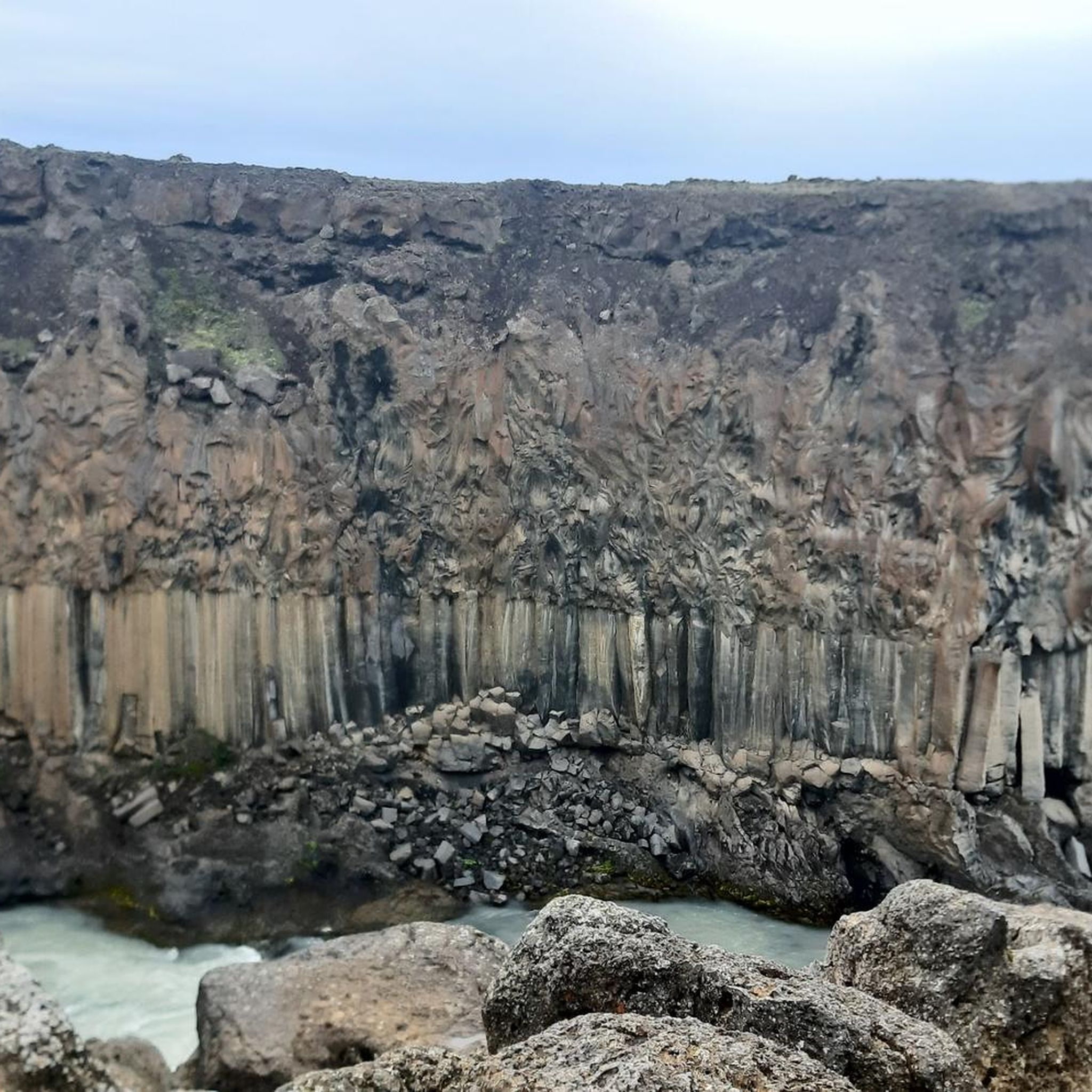
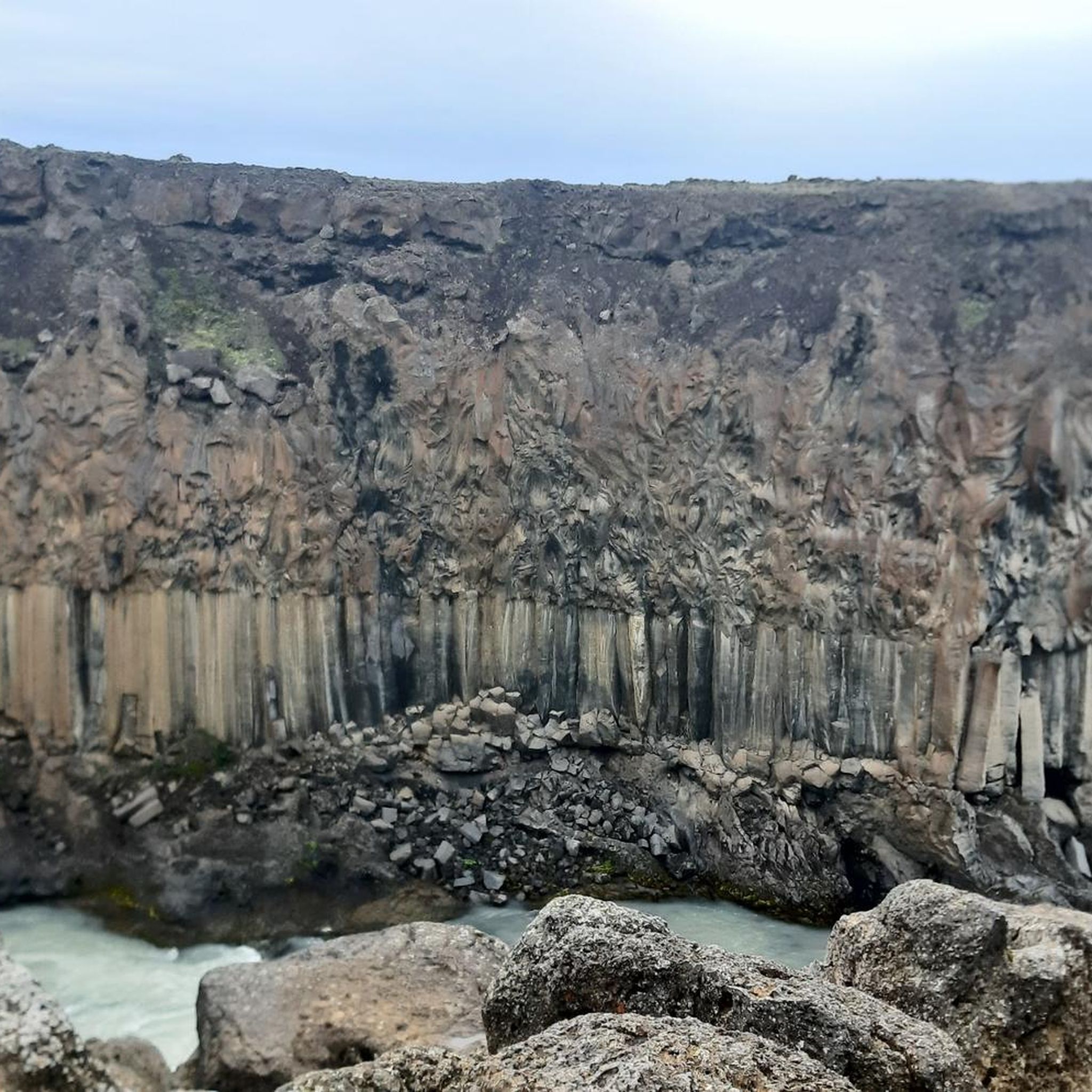
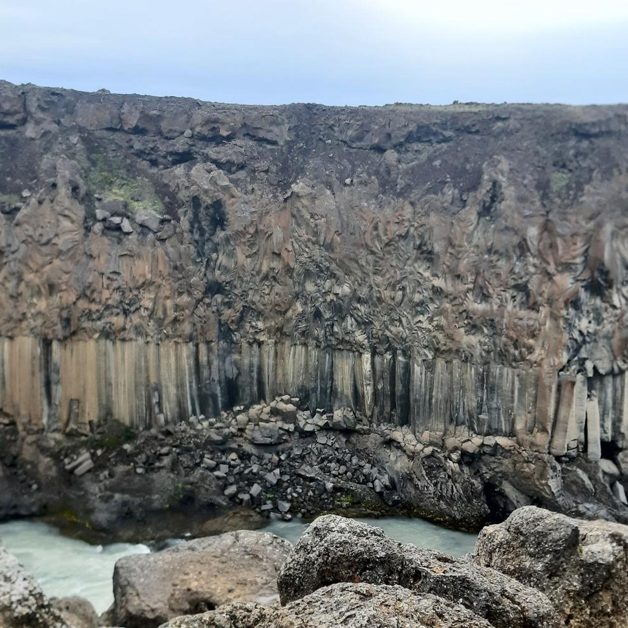
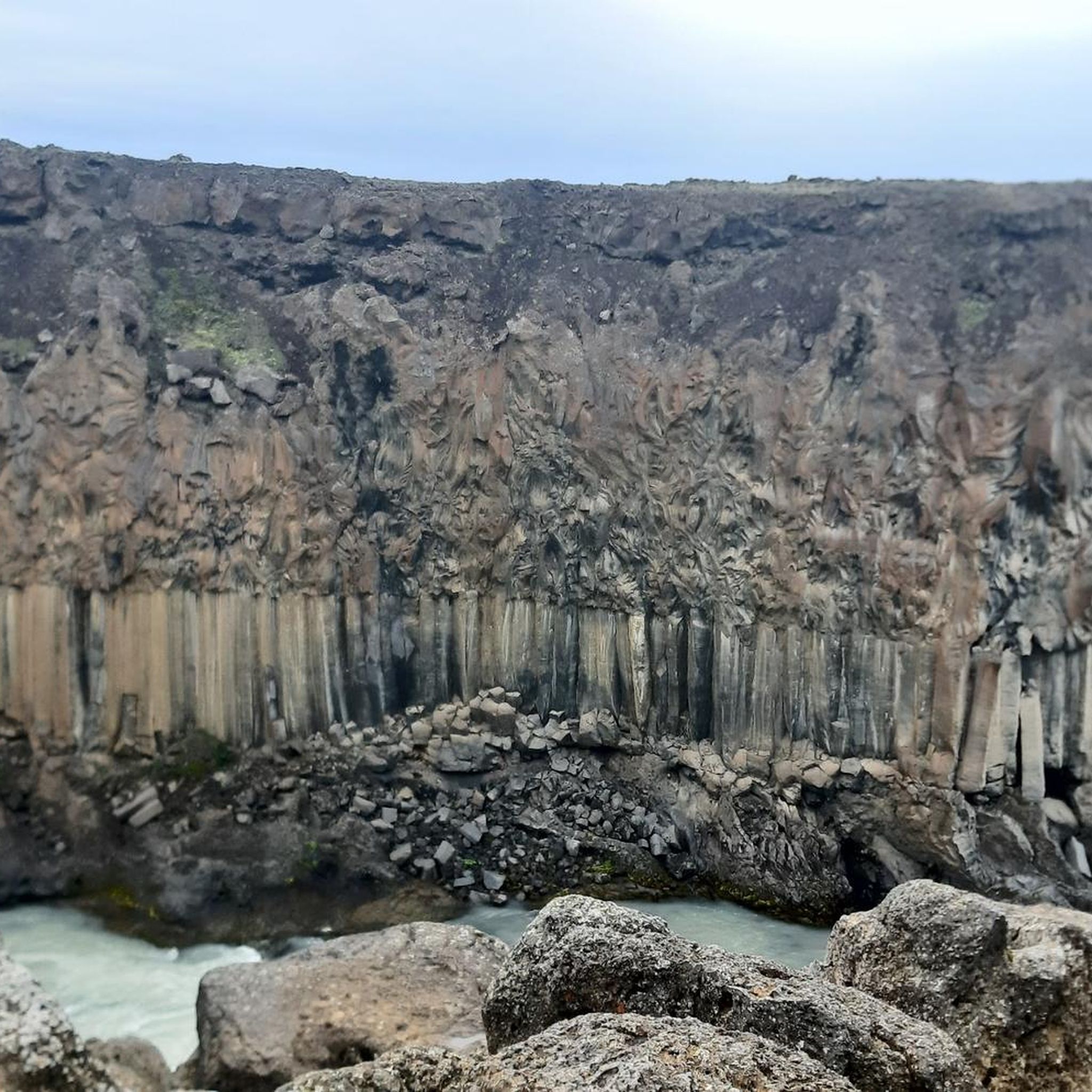
Aldeyjarfoss Waterfall is unique due to the striking contrast between its white cascading water and the dark, geometric basalt columns that frame it. It's situated in an environment of basalt columns and potholes, making it a remarkable example of volcanic activity shaping the landscape and a favorite for photographers.
What should I wear when visiting natural monuments in Þingeyjarsveit?
Icelandic weather can be unpredictable, so it's best to dress in layers. Waterproof and windproof outer layers are highly recommended, especially near waterfalls where spray can be significant. Sturdy hiking boots are essential for navigating varied terrain, which can be wet or uneven. Even in summer, a warm hat and gloves can be useful.
Are there parking facilities at the natural monuments?
Most major natural monuments, such as Goðafoss, have designated parking areas. For more remote sites like Aldeyjarfoss Waterfall, parking might be less formal but generally available near the trailheads. It's always advisable to check specific access information for each location, especially if traveling in a larger vehicle.
Most popular routes in Þingeyjarsveit
Most popular attractions in Þingeyjarsveit
Get inspired with the komoot mobile app


Explore more
Extend your search for the best caves by checking out these guides of the top ones in Þingeyjarsveit: