Top 4 Mountain Passes in Alb-Donau-Kreis
Mountain passes in Alb-Donau-Kreis are characterized by the region's unique geography within the Swabian Jura. This area features rolling hills, karst formations, and elevated routes that offer panoramic vistas. While not traditional high-alpine passes, these routes provide diverse opportunities for outdoor activities and scenic drives. The landscape includes river valleys, high plateaus, and significant elevation changes.
Best mountain passes in Alb-Donau-Kreis
- The most popular mountain passes is Tiefenhülen Climb (Sondernach), a mountain_pass where a paved road climbs 2.5 kilometers…
Last updated: October 13, 2026
Sonderbucher Steige
Highlight (Segment) • Mountain Pass
Since the trailhead is located very close to the Blautopf (Blue …
Translated by Google •
Tip by

Justinger Steige
Highlight (Segment) • Climb
It moves from huts in the Schmiechtal up to Justingen
Translated by Google •
Tip by
Sign up now to discover places like this
Get recommendations on the best single tracks, peaks, & plenty of other exciting outdoor places.
Tiefenhülen climb (Hütten)
Highlight (Segment) • Mountain Pass
quaeldich.de/paesse/tiefenhuelen-pass
Translated by Google •
Tip by
Tiefenhülen Climb (Sondernach)
Highlight (Segment) • Mountain Pass
More information:
quaeldich.de/paesse/tiefenhuelen-pass
Translated by Google •
Tip by
Start today with a free account
Your next adventure awaits.
Popular around Alb-Donau-Kreis

Main-Danube-Lake Constance Trail – Along iconic waters
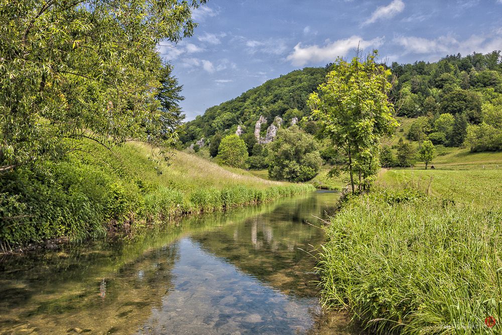
The Trail of Consciousness – hiking for body and soul in the Swabian Alb
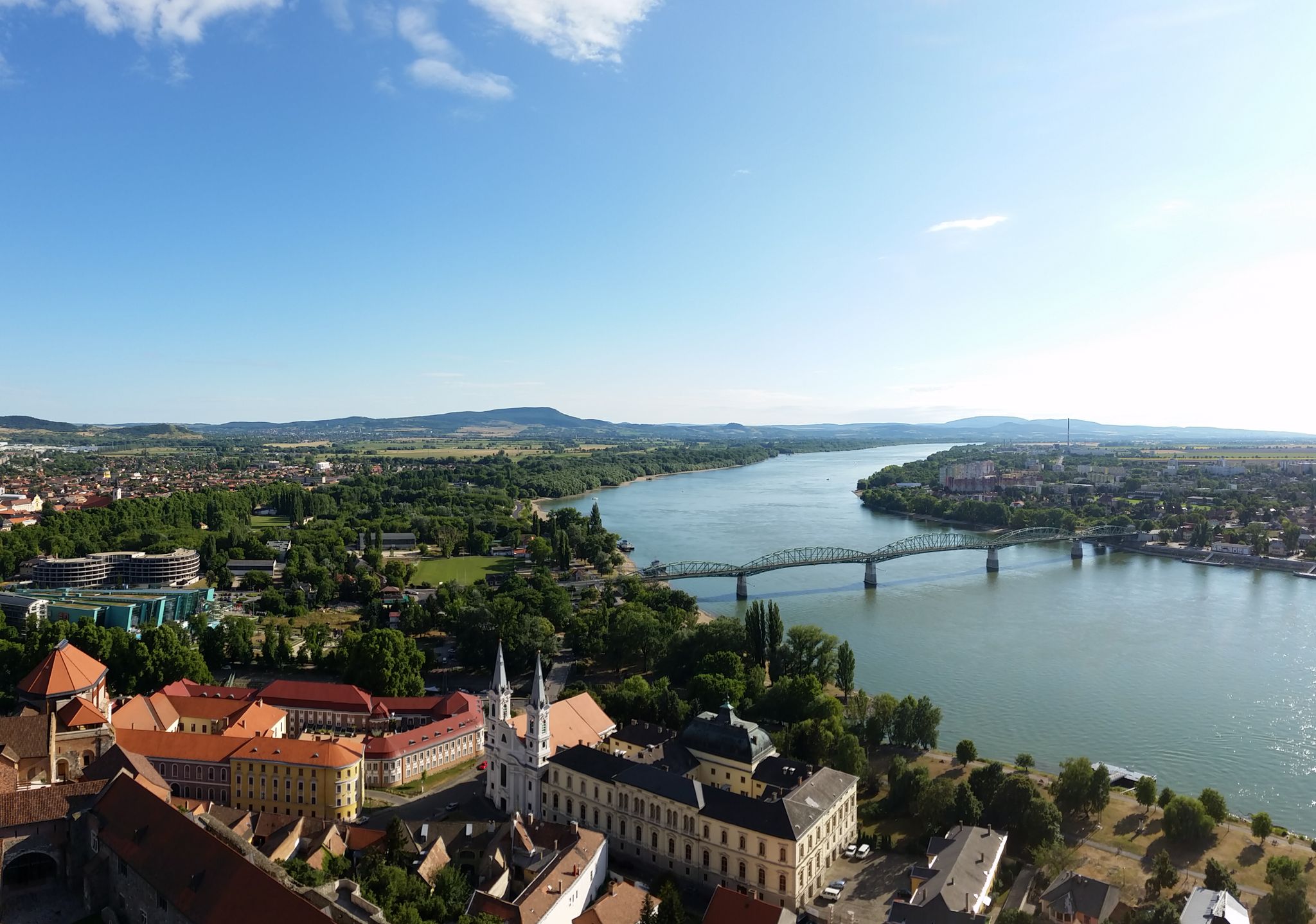
The Danube Cycle Path – From Donaueschingen to Budapest
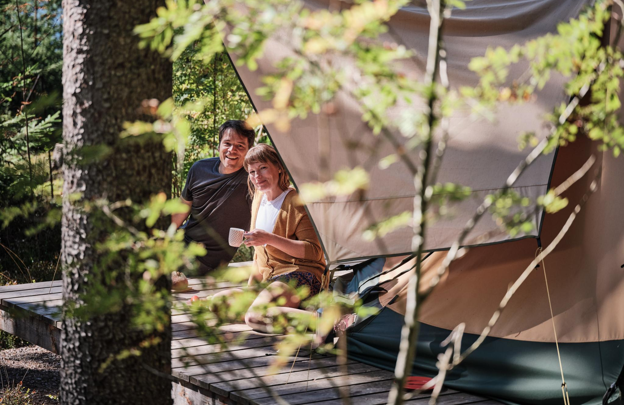
Hiking breaks in the South – two-day routes in Baden-Württemberg
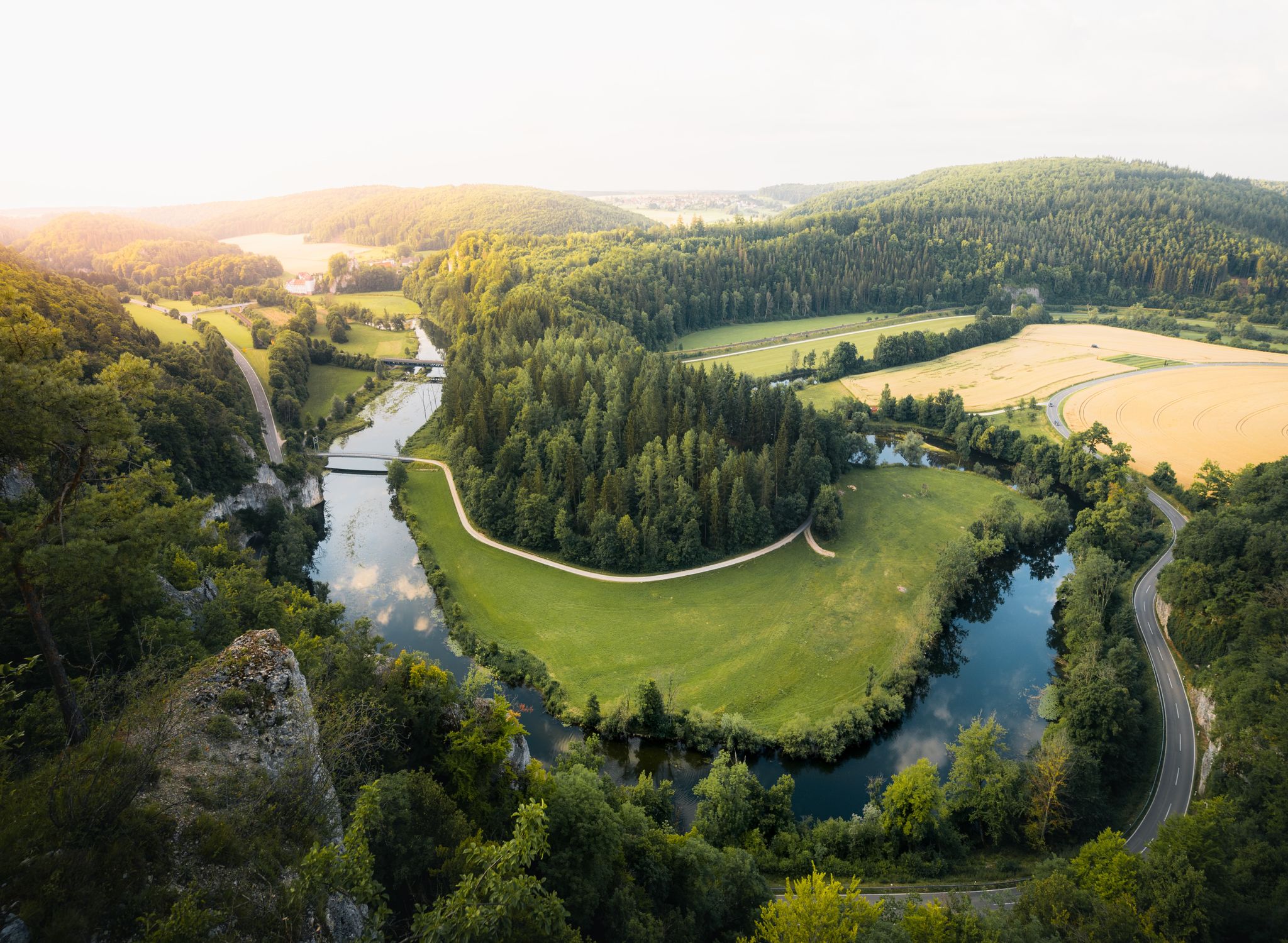
Where valleys tell stories – hiking the rivers of the Swabian Jura
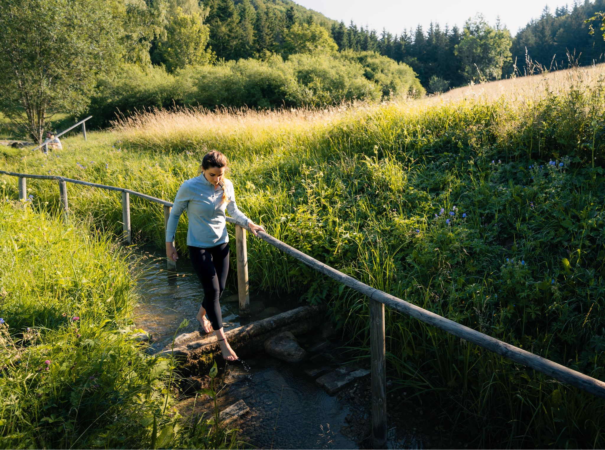
Hiking on the Swabian Alb with all your senses
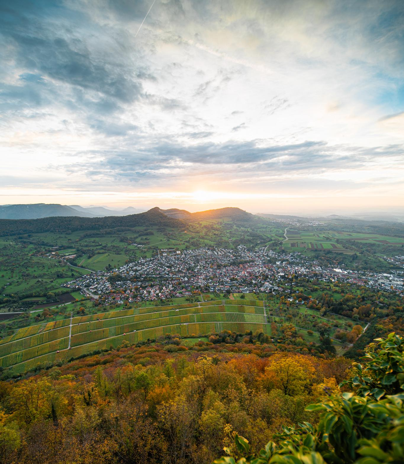
E-bike pleasure rides in the Swabian Alb
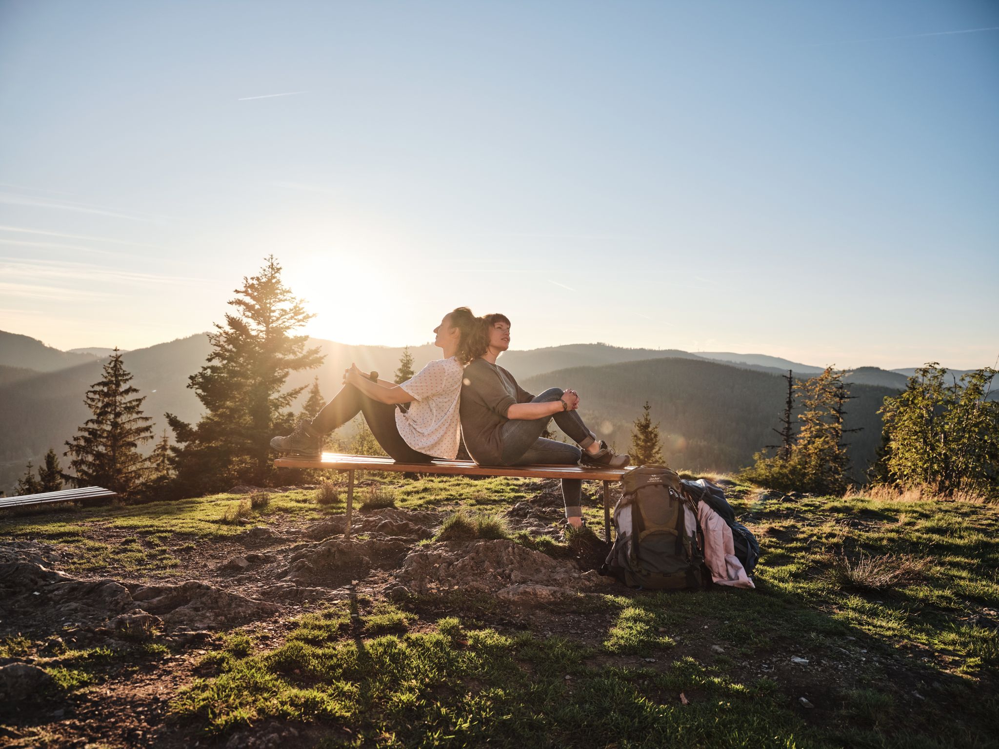
Hiking the Süden – between Black Forest, Lake Constance and Swabian Alb
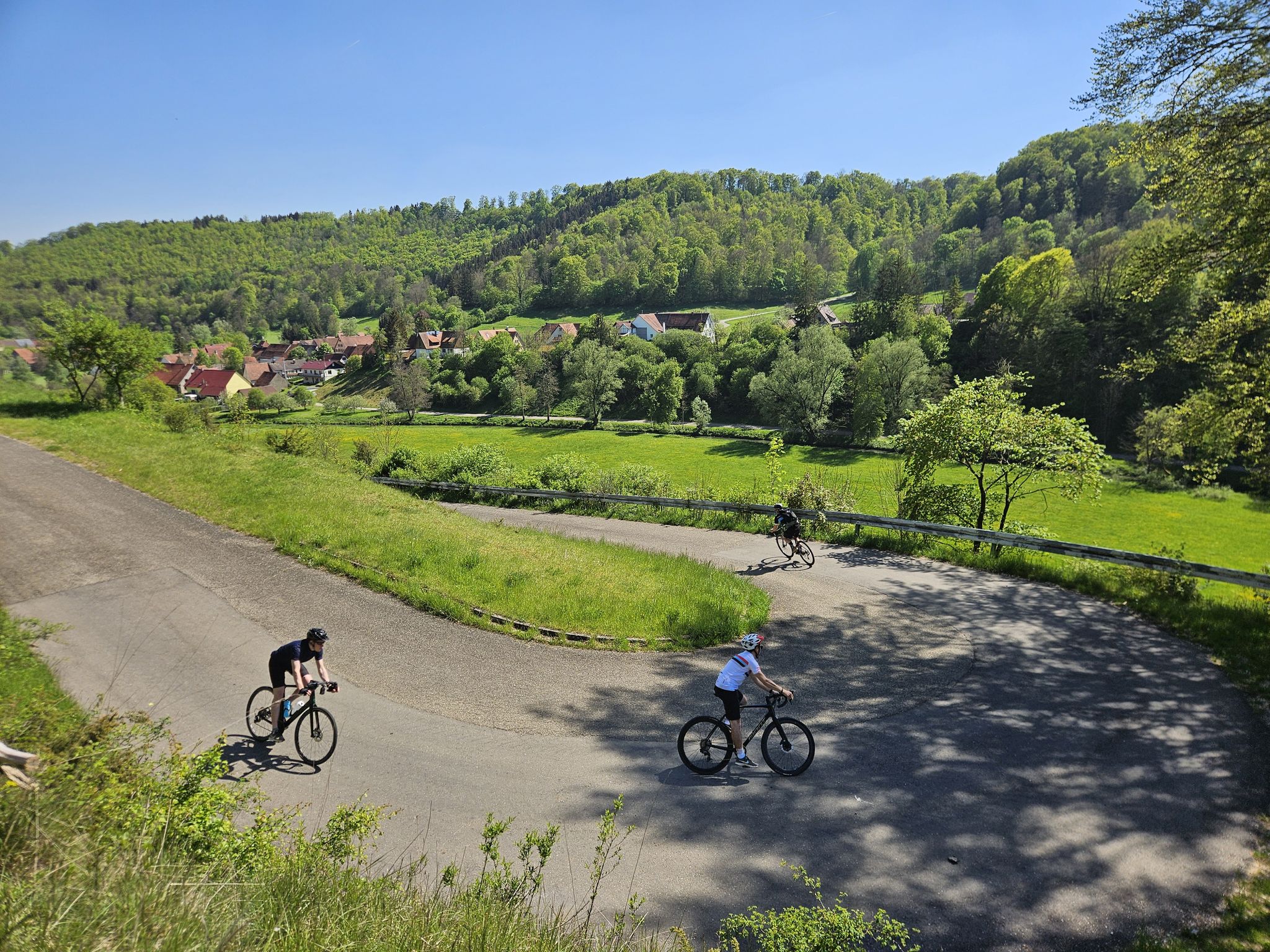
From mountain sprints to winding roads – the Tour de Alb road cycling adventure
Hills, RAISED BOGS and HIGH BAROQUE - the Oberschwaben-Allgäu-Radweg
Other adventures in Alb-Donau-Kreis


Tips from the Community

Beautiful ascent to the Alb, which can then be rewarded with a descent from Hausen to Schelklingen. It can get quite crowded here on weekends. The climb itself is relatively moderate with an average of 5% and a maximum of 9-10 in the switchbacks. A total of 160 hm are overcome here.
2
0

Very nice climbs hardly used Recommended for landscape
0
0

Very beautiful, very idyllic, a bit steep for a short time (12%)
0
1

A beautiful, low-traffic climb with an average gradient of 5-6%. After 2/3 of the route you have a beautiful view of the valley in which the village of Blaubeuren and the Blautopf are located. Recently, some large trees were removed along the path. That's why you drive 80% in the sun. The asphalt is very good. With a length of 2 km and almost 200 meters of altitude, the climb is a little challenge for beginners but easy to manage.
1
2

Between 6 and 11% gradient, very easy to drive, but the road is quite narrow and there is a lot of traffic, especially on weekends. Motorcyclists, hikers and cyclists of all kinds cavort here. The asphalt is of medium quality. Nevertheless, it's always fun. Sunday morning is ideal.
2
0

The continuously moderate incline of less than 4% enables a quick ascent to Asch zu. Since you always drive in the shade, the route is easy to drive even on very warm days.
0
2

A little pass feeling. Easy to drive, even incline.
1
1
Frequently Asked Questions
What are the most scenic viewpoints along the elevated routes in Alb-Donau-Kreis?
The region offers several stunning viewpoints. The Sonderbucher Steige provides excellent views over Blaubeuren, its monastery, and into the Blau Valley. The Justinger Steige also offers picturesque vistas as you ascend to the Alb plateau. For a broader perspective, consider the Lemberg, the highest peak of the Swabian Alb, which offers unparalleled 360-degree views encompassing forests, the Danube Valley, and even the distant Alps on clear days.
What unique geological features can I expect to see in the Alb-Donau-Kreis?
The Alb-Donau-Kreis is part of the Swabian Jura, known for its distinctive karst landscape. This means you'll encounter rolling hills, dramatic rock formations, and extensive cave systems. The region around Blaubeuren, for instance, is famous for the Blautopf, a vibrant blue karst spring, and is a gateway to vast underground cave networks. Many hiking trails, like the Ice Age Trails, showcase these geological wonders.
Are there good hiking opportunities near these elevated routes?
Yes, the area is rich with hiking trails. While the 'passes' themselves are often routes for cycling or driving, they are surrounded by excellent hiking terrain. For instance, the path leading to Blaufels offers a scenic reward for hikers with views over Blaubeuren. You can find various options, including easy walks and more challenging treks, by exploring guides like Hikes from bus stations in Alb-Donau-Kreis or Easy hikes in Alb-Donau-Kreis.
What cycling routes are available that incorporate these elevated sections?
Many of the elevated routes, such as the Sonderbucher Steige, Justinger Steige, and Beininger Steige, are popular with cyclists. They offer varying gradients and scenic ascents to the Alb plateau. For more cycling inspiration, including routes that avoid heavy traffic, check out the Traffic-free bike rides in Alb-Donau-Kreis guide.
What is the best time of year to visit the Alb-Donau-Kreis for outdoor activities?
The spring, summer, and early autumn months (roughly April to October) are generally the best for outdoor activities in the Alb-Donau-Kreis. During these periods, the weather is most favorable for hiking, cycling, and enjoying the scenic viewpoints. Autumn offers particularly beautiful foliage, while spring brings blooming landscapes. Winter can be picturesque, especially with snow, but some routes might be challenging due to ice or snow cover.
Are there family-friendly options among these elevated routes or nearby attractions?
While some of the 'steige' (climbs) can be challenging, the region offers many family-friendly activities. The area around Blaubeuren, with the Blautopf and its charming town, is very popular. Many of the Ice Age Trails, while offering elevation changes, can be adapted for families, and the scenic viewpoints provide rewarding destinations for shorter walks. Look for easy hiking routes in the region for suitable family outings.
How accessible are these elevated routes by public transport?
Accessibility by public transport varies. Some towns like Blaubeuren are well-connected by bus and train, making it possible to reach nearby elevated routes or trailheads. For specific routes, it's advisable to check local bus schedules. Many hiking guides, such as Hikes from bus stations in Alb-Donau-Kreis, are designed with public transport access in mind.
What are some historical or cultural points of interest near these elevated routes?
The Alb-Donau-Kreis is rich in history, especially prehistoric. The region around Blaubeuren is a UNESCO World Heritage site due to its Ice Age caves, which yielded significant archaeological finds related to early human art and culture. The town of Blaubeuren itself boasts a beautiful monastery. Driving routes like the B28 also pass through charming historic towns, offering glimpses into the region's past.
Are there any less-trafficked or 'hidden gem' elevated routes to explore?
Yes, some routes are known for being less crowded. The Tiefenhülen climb (Hütten) is noted for being hardly used, offering a peaceful experience. Similarly, the Beininger Steige is described as having a 'not so high traffic volume' for a long, steady climb. Exploring these can provide a more tranquil experience of the Swabian Alb's elevated landscapes.
What should I know about traffic conditions on these elevated routes?
Traffic conditions can vary. Routes like the Sonderbucher Steige and Justinger Steige can experience significant traffic, especially on weekends, with a mix of motorists, motorcyclists, hikers, and cyclists. The Beininger Steige has medium car traffic. Always be aware of your surroundings, especially on narrow roads or in blind corners, and consider visiting during off-peak times for a quieter experience.
Can I find places to eat or stay near these elevated routes?
Yes, the towns and villages throughout the Alb-Donau-Kreis offer various options for refreshments and accommodation. Blaubeuren, for example, has charming cafes and restaurants. Many smaller villages also feature traditional inns or guesthouses. It's a good idea to plan your route and check for establishments along your chosen path or in nearby towns.
Most popular routes in Alb-Donau-Kreis
Most popular attractions in Alb-Donau-Kreis

Get inspired with the komoot mobile app


Didn’t find what you were looking for?
Find even more amazing mountain passes in Alb-Donau-Kreis organized by region:
Explore more
See even more epic mountain passes by checking out these guides in Alb-Donau-Kreis:
