The 3 Most Amazing Peaks around Diethardt
Best mountain peaks around Diethardt are found within the Taunus mountain range, offering diverse natural landscapes. This region provides access to various summits and viewpoints, characterized by forests and intermediate terrain. The area is known for its natural features and recreational opportunities.
Best mountain peaks around Diethardt
- The most popular mountain peaks is Grauer Kopf Summit Cross, a summit that features a summit cross and a summit book for visitors. It is the second highest mountain in the western Hintertaunus.
- Another must-see spot is Mappershainer Kopf (548 m), a summit and the highest elevation in the western Taunus Mountains. The old postal road to Wiesbaden passes through this area.
- Visitors also love Weißler Höhe summit marker, a summit marked by a summit stone at 456 meters above sea level, located at a crossroads in the forest. It offers a viewpoint within the forest.
- Diethardt is known for its summits, viewpoints, and forest trails. The area offers a variety of mountain peaks to see and explore, ranging from marked summits to scenic forest locations.
- The mountain peaks around Diethardt are appreciated by the komoot community, with 117 upvotes and 62 photos contributed by users.
Last updated: October 12, 2026
Grauer Kopf Summit Cross
Highlight • Summit
But a nice starting point with a summit book to sign up.
Translated by Google •
Tip by

Mappershainer Kopf (548 m)
Highlight • Summit
Translated by Google •
Tip by

Sign up now to discover places like this
Get recommendations on the best single tracks, peaks, & plenty of other exciting outdoor places.
Weißler Höhe summit marker
Highlight • Summit
Translated by Google •
Tip by

Küppel
Highlight • Mountain Hut
Showing Translation
Tip by

Taubenkopf
Highlight • Summit
Showing Translation
Tip by

Start today with a free account
Your next adventure awaits.

Tips from the Community

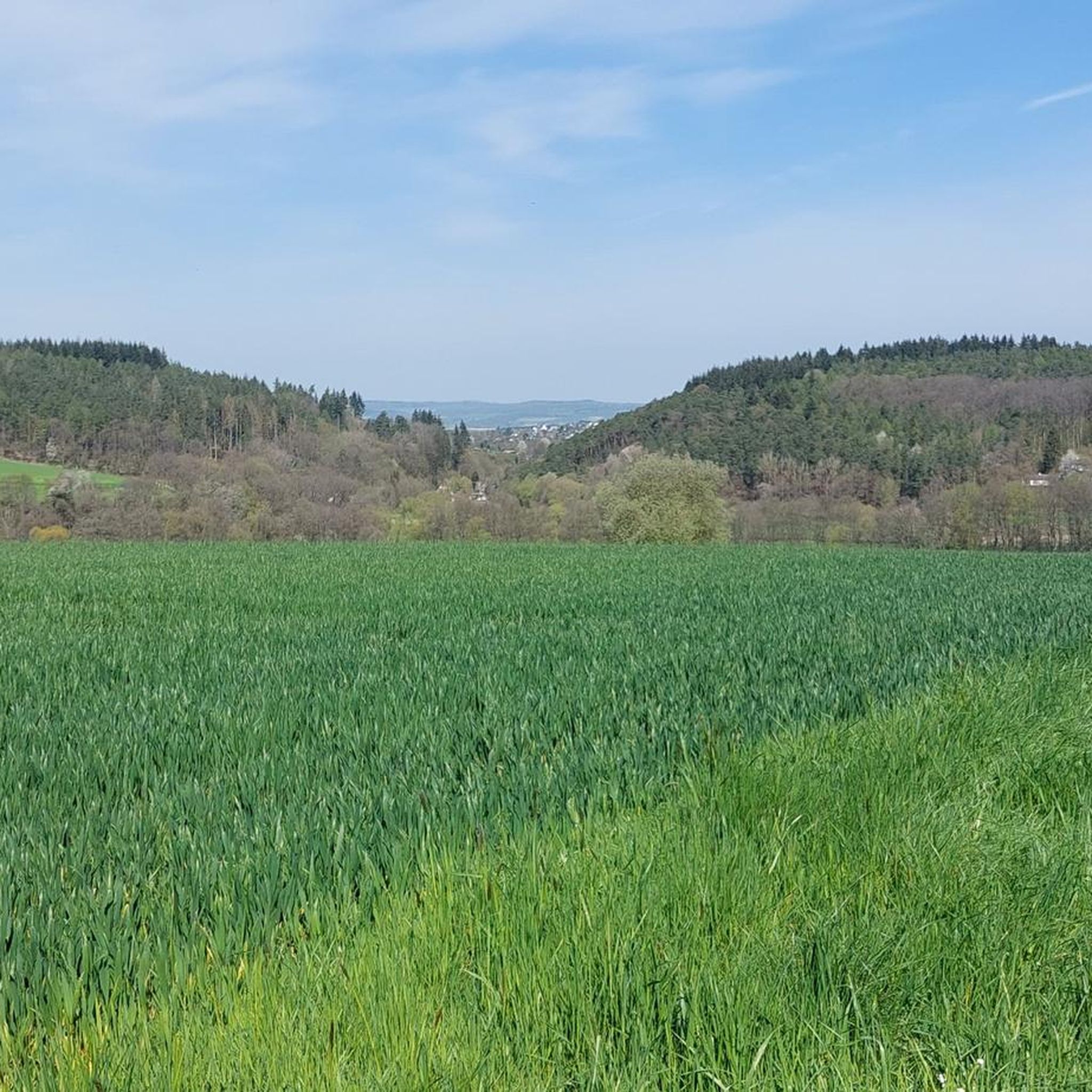
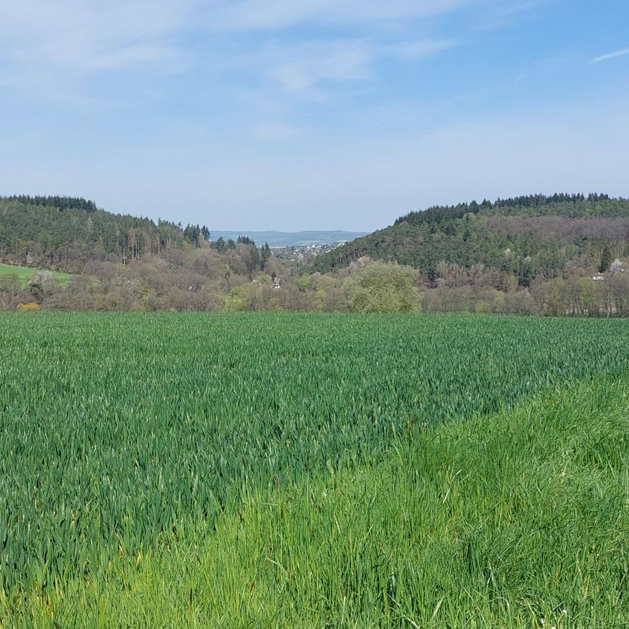
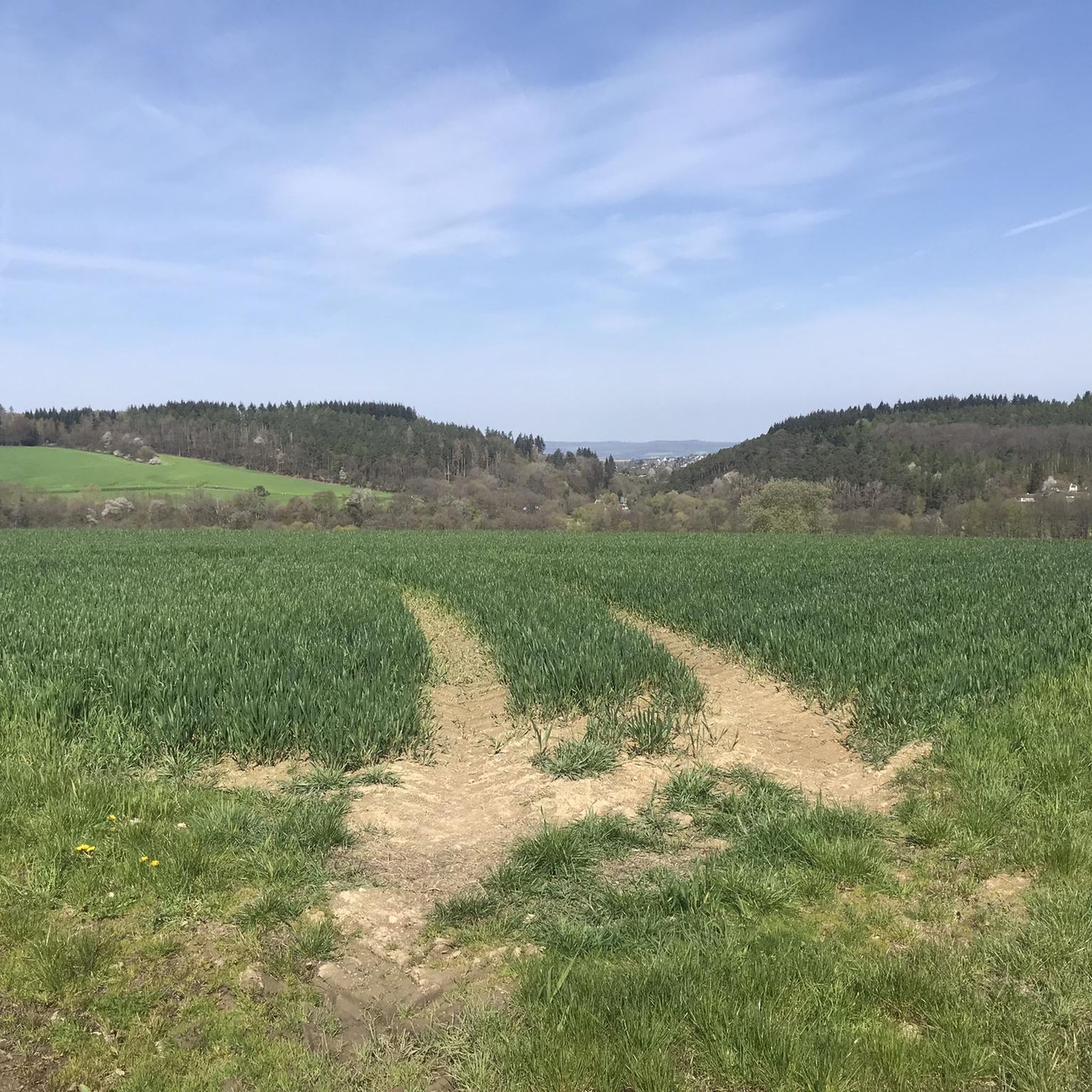
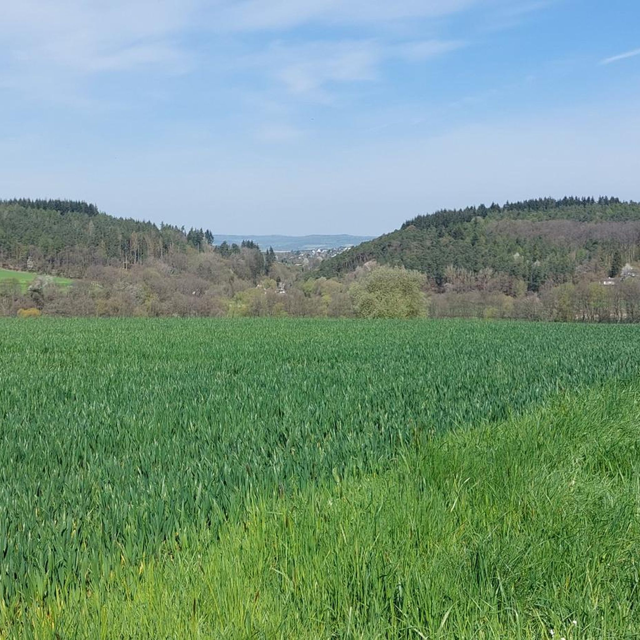
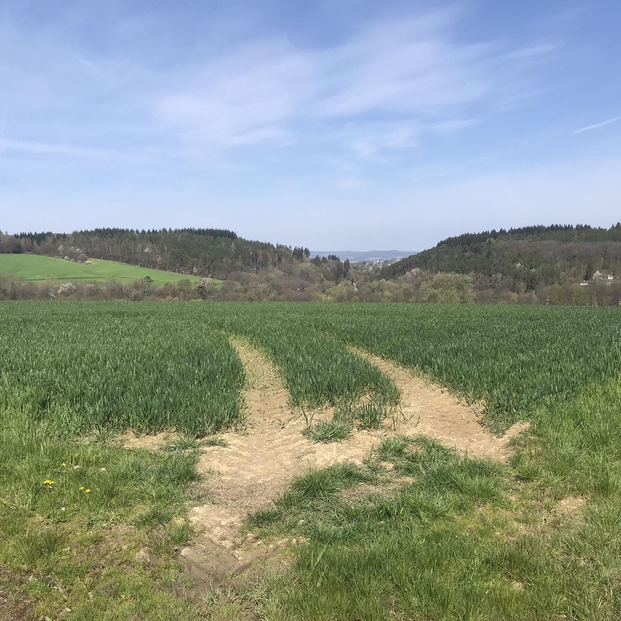
According to the map, the Taubenkopf itself lies in dense undergrowth. From the path that leads directly past it, you have a view over the fields towards Kemel.
0
0

Spacious shelter. The view inside the hut itself is not breathtaking, but a few steps away it is all the more beautiful.
0
0

A nice destination to drive to.
0
0

The highest elevation in the western Taunus Mountains. The old postal road to Wiesbaden passes through here.
1
0

The second highest mountain in the western Hintertaunus is crowned by a summit cross. Greetings can be left in the summit book. There is also a TP stone right next to the cross.
0
0

The Weißler Höhe summit is at a crossroads in the forest and is marked with a summit stone at an altitude of 456m above sea level
2
0


A summit cross stop .. 😁 But a nice starting point with a summit book to sign up.
2
0
Frequently Asked Questions
What are some prominent mountain peaks in the Taunus region accessible from Diethardt?
The Taunus mountain range, where Diethardt is located, features several notable peaks. Among the most prominent are Großer Feldberg, the highest elevation in the Taunus, Kleiner Feldberg, and Altkönig. These offer a mix of natural beauty, historical significance, and recreational opportunities.
Which peaks directly around Diethardt are popular for hiking?
Visitors frequently explore summits like Grauer Kopf Summit Cross, which is the second highest mountain in the western Hintertaunus and features a summit book. Another popular spot is Mappershainer Kopf (548 m), known as the highest elevation in the western Taunus Mountains.
Which peaks offer the best panoramic views?
For expansive views, Großer Feldberg is an excellent choice, with its observation tower providing impressive panoramas over the Rhine-Main area and beyond on clear days. Closer to Diethardt, highlights like Grauer Kopf Summit Cross and Mappershainer Kopf (548 m) are also noted for their viewpoints, though some may require a short walk from the immediate summit.
Are there any historical sites on or near these mountain peaks?
Yes, the region is rich in history. Kleiner Feldberg is home to the Roman Fort Kleiner Feldberg, a UNESCO World Heritage site showcasing remnants of Rome's military history. Altkönig features visible remains of an Iron Age hillfort with two circular ramparts dating back to around 400 BC, offering a fascinating glimpse into the region's early history.
What kind of natural features can I expect to see on these peaks?
The peaks around Diethardt are characterized by densely wooded forests, varied elevations, and unique natural vegetation. Altkönig, for instance, is known for its ancient beech trees and a notable natural feature called the 'White Wall' on its northeast spur. Großer Feldberg offers lush forests and, in winter, transforms into a snowy landscape.
Are there family-friendly mountain walks near Diethardt?
Yes, there are options for families. The Küppel highlight is categorized as family-friendly and offers a spacious shelter, making it suitable for outings with children. Many trails through the Taunus forests are also accessible for families, offering a peaceful escape into nature.
What outdoor activities can I do near the mountain peaks around Diethardt?
The area around Diethardt is ideal for various outdoor activities. You can find numerous routes for cycling, including traffic-free options, and mountain biking. Hiking is also very popular, with trails ranging from moderate to difficult through scenic countryside. For cycling, explore guides like Traffic-free bike rides around Diethardt or Cycling around Diethardt.
Are there mountain biking trails in the Diethardt area?
Absolutely. The region offers several mountain biking opportunities. You can find challenging routes, such as those listed in the Traffic-free bike rides around Diethardt guide, which include trails like the 'Hauserbachsee – View of Hasenbach Valley loop from Ehr'.
What do visitors enjoy most about the peaks around Diethardt?
Visitors appreciate the combination of natural beauty and tranquility. Many enjoy the peaceful natural surroundings, fresh air, and the opportunity for serious walking. The presence of historical sites like Roman forts and Celtic ring walls also adds a fascinating dimension to the experience, making ancient history tangible.
What is the best time to visit the mountain peaks around Diethardt?
The peaks are enjoyable year-round. In warmer months, extensive hiking and cycling trails through lush forests are popular. In winter, areas like Großer Feldberg transform into snowy landscapes, attracting tobogganers and cross-country skiers. The autumn offers beautiful foliage, making it a scenic time for walks.
Are there any less crowded mountain trails near Diethardt?
While Großer Feldberg can be popular, the broader Taunus region offers many trails where you can find solitude. Exploring the paths around less prominent summits like Weißler Höhe summit marker or Taubenkopf might lead to a quieter experience, especially on weekdays or during off-peak hours.
Can I find places to rest or shelter on the trails?
Yes, some peaks offer facilities. Großer Feldberg has a restaurant and kiosks. For a more rustic option, the Küppel highlight provides a spacious shelter, which can be a welcome stop during a hike.
Most popular attractions around Diethardt

Get inspired with the komoot mobile app


Explore more
See even more amazing summits around Diethardt with these guides:
