The best walks and hikes around Vraignes-Lès-Hornoy
4.7
(8)
30
hikers
9
hikes
Hiking around Vraignes-Lès-Hornoy offers routes through a landscape characterized by gentle rolling hills and agricultural fields, interspersed with small woodlands. The region features moderate elevation changes, providing varied terrain for walking. Trails often follow quiet country roads and paths, connecting small villages and offering views of the surrounding countryside.
Best hiking trails around Vraignes-Lès-Hornoy
- The most popular hiking route is On height loop from Le Quesne, a 6.0 miles (9.7 km) trail that takes 2 hours 38 minutes to…
Last updated: July 8, 2026
5.0
(1)
3
hikers
9.71km
02:38
140m
140m
Moderate hike. Good fitness required. Easily-accessible paths. Suitable for all skill levels.
5.0
(1)
5
hikers
11.6km
03:08
140m
140m
Moderate hike. Good fitness required. Easily-accessible paths. Suitable for all skill levels.

Sign up for free
5.0
(2)
4
hikers
16.5km
04:29
230m
230m
Moderate hike. Good fitness required. Easily-accessible paths. Suitable for all skill levels.
2
hikers
10.8km
02:51
100m
100m
Moderate hike. Good fitness required. Easily-accessible paths. Suitable for all skill levels.
1
hikers
8.14km
02:09
80m
80m
Moderate hike. Good fitness required. Easily-accessible paths. Suitable for all skill levels.
Get access to more routes and recommendations from other explorers.
Sign up for free
Already have an account?
Our route recommendations are based on thousands of hikes, rides, and runs completed by other people on komoot.
Start today with a free account
Your next adventure awaits.
Login or Signup

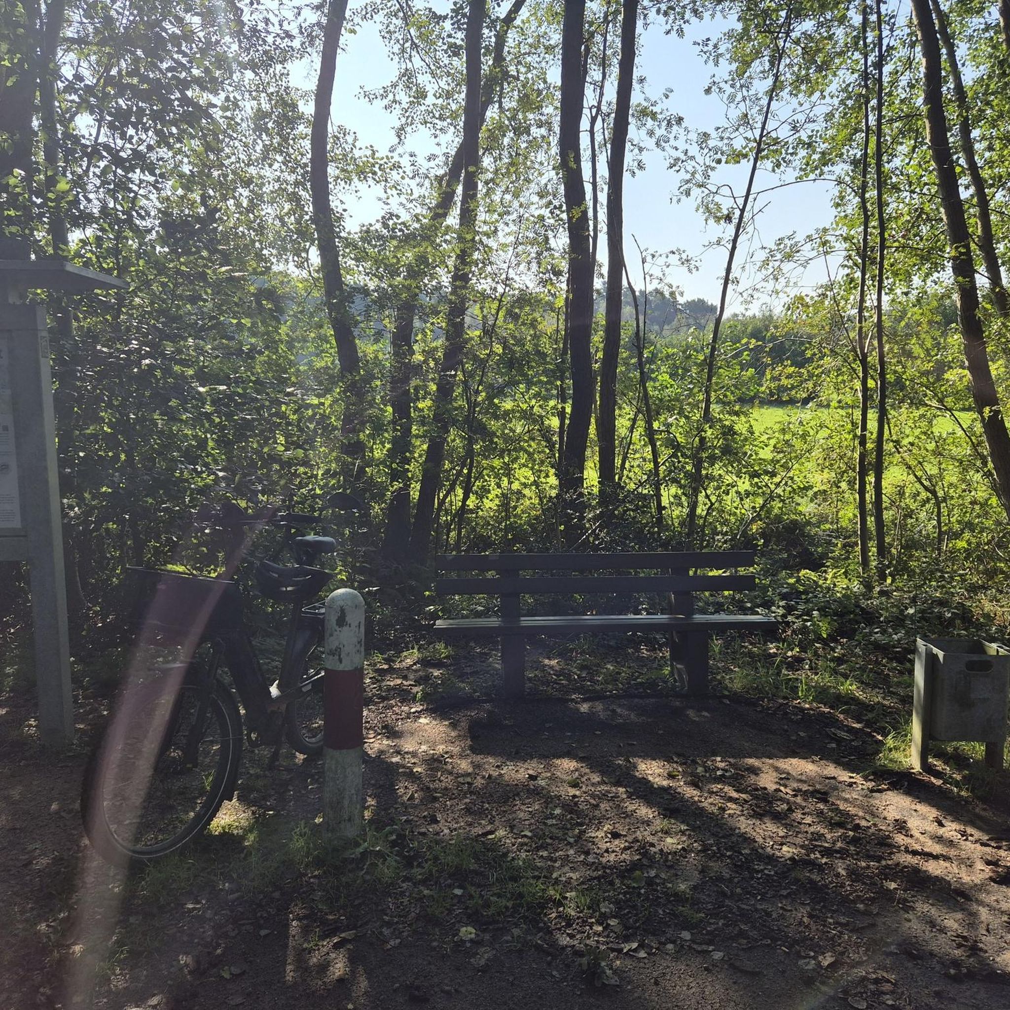


Tips from the Community

The present Castle of Selincourt was built from 1734 by the Viscount of Selincourt, Charles-Nicolas Manessier, captain of the infantry in the King's regiment. It replaces a previous building that was destroyed by fire.
3
1
Frequently Asked Questions
How many hiking trails are available around Vraignes-Lès-Hornoy?
There are 9 hiking trails recorded on komoot for the Vraignes-Lès-Hornoy area. These routes offer a variety of experiences through the region's gentle rolling hills and agricultural landscapes.
What is the typical length and duration of hikes in Vraignes-Lès-Hornoy?
Hikes in this region generally range from moderate distances. For example, the On height loop from Le Quesne is about 6.0 miles (9.7 km) and takes around 2 hours 38 minutes, while the Château de Digeon loop from Gauville is longer at 10.3 miles (16.5 km), typically requiring about 4 hours 29 minutes.
Are there any easy hiking trails suitable for beginners or casual walkers?
Yes, while most routes are moderate, there is at least one easy trail available. These paths are generally characterized by gentle ascents and descents, making them suitable for those looking for a less strenuous walk through the countryside.
What are the best seasons for hiking around Vraignes-Lès-Hornoy?
The spring and autumn months are ideal for hiking in Vraignes-Lès-Hornoy. Spring brings blooming fields and mild temperatures, while autumn offers pleasant weather and beautiful colors across the agricultural landscape. Summer can also be enjoyable, but it's advisable to start early to avoid the midday heat.
Are the hiking trails in Vraignes-Lès-Hornoy suitable for families with children?
The region's moderate trails with gentle elevation changes can be suitable for families, especially those with older children. For younger families, look for shorter, easier routes. The quiet country paths and open views provide a pleasant environment for a family outing.
Can I bring my dog on the hiking trails in Vraignes-Lès-Hornoy?
Generally, dogs are welcome on hiking trails in rural areas like Vraignes-Lès-Hornoy, especially on public footpaths and country roads. However, it's always recommended to keep your dog on a leash, particularly when passing through agricultural fields or near livestock, and to respect local regulations.
Are there circular walking routes available in the area?
Yes, many of the trails around Vraignes-Lès-Hornoy are designed as circular routes, allowing you to start and end at the same point. Examples include the On height loop from Brocourt and the Selincourt Castle loop from Hornoy-le-Bourg, which offer convenient exploration of the local scenery.
What kind of terrain can I expect on the hikes?
The terrain around Vraignes-Lès-Hornoy is characterized by gentle rolling hills and extensive agricultural fields. You'll primarily walk on quiet country roads, farm tracks, and paths through small woodlands. Elevation changes are moderate, making for varied but not overly strenuous walking.
What do other hikers say about the trails in Vraignes-Lès-Hornoy?
The hiking routes in Vraignes-Lès-Hornoy are highly rated by the komoot community, with an average score of 4.7 stars from over 8 reviews. Hikers often praise the peaceful atmosphere, the scenic views of the countryside, and the well-maintained paths that connect charming small villages.
Are there any historical sites or points of interest along the trails?
While the region is primarily agricultural, some routes pass by historical points of interest. For instance, the Château de Digeon loop from Gauville leads through agricultural land and past such sites, offering glimpses into the local heritage. The Selincourt Castle loop from Belloy-Saint-Léonard also suggests proximity to historical structures.
Is parking available at the trailheads?
In rural areas like Vraignes-Lès-Hornoy, parking is typically available in or near the small villages where many of the loops begin. Look for designated parking areas or suitable roadside spots, being mindful not to obstruct local traffic or private property.
What should I bring for a hike in Vraignes-Lès-Hornoy?
For hiking in this region, it's advisable to bring comfortable walking shoes, water, and appropriate clothing for the weather conditions. Given the open agricultural landscapes, sun protection (hat, sunscreen) is recommended on sunny days. A map or GPS device is also useful, though many paths are well-defined.
Most popular routes around Vraignes-Lès-Hornoy

Get inspired with the komoot mobile app


Explore more
Browse the best Hikes in other regions.
