The 2 Most Amazing Peaks around Bærum
Mountain peaks around Bærum, a municipality bordering Oslo, offer diverse outdoor recreation opportunities. The region features a varied natural landscape, including forests, fjords, and elevated viewpoints. These peaks provide panoramic views of the Oslo Fjord, surrounding forests, and distant mountains. Bærum's natural environment makes it a notable destination for outdoor enthusiasts.
Best mountain peaks around Bærum
- The most popular mountain peaks is View from Gyrihaugen, a viewpoint that offers panoramic views in the Ringerike region. From its 682 meters…
Last updated: October 4, 2026
View from Gyrihaugen
Highlight • Viewpoint
Tip by

Kraftkollen
Highlight • Summit
Tip by

Sign up now to discover places like this
Get recommendations on the best single tracks, peaks, & plenty of other exciting outdoor places.
Glasåsen
Highlight • Viewpoint
Tip by
Bergsåstoppen
Highlight • Summit
Tip by
Frønsvollsåsen
Highlight • Forest
Tip by

Sign up for free to discover even more peaks around Bærum.
Already have an account?
Start today with a free account
Your next adventure awaits.
Tips from the Community

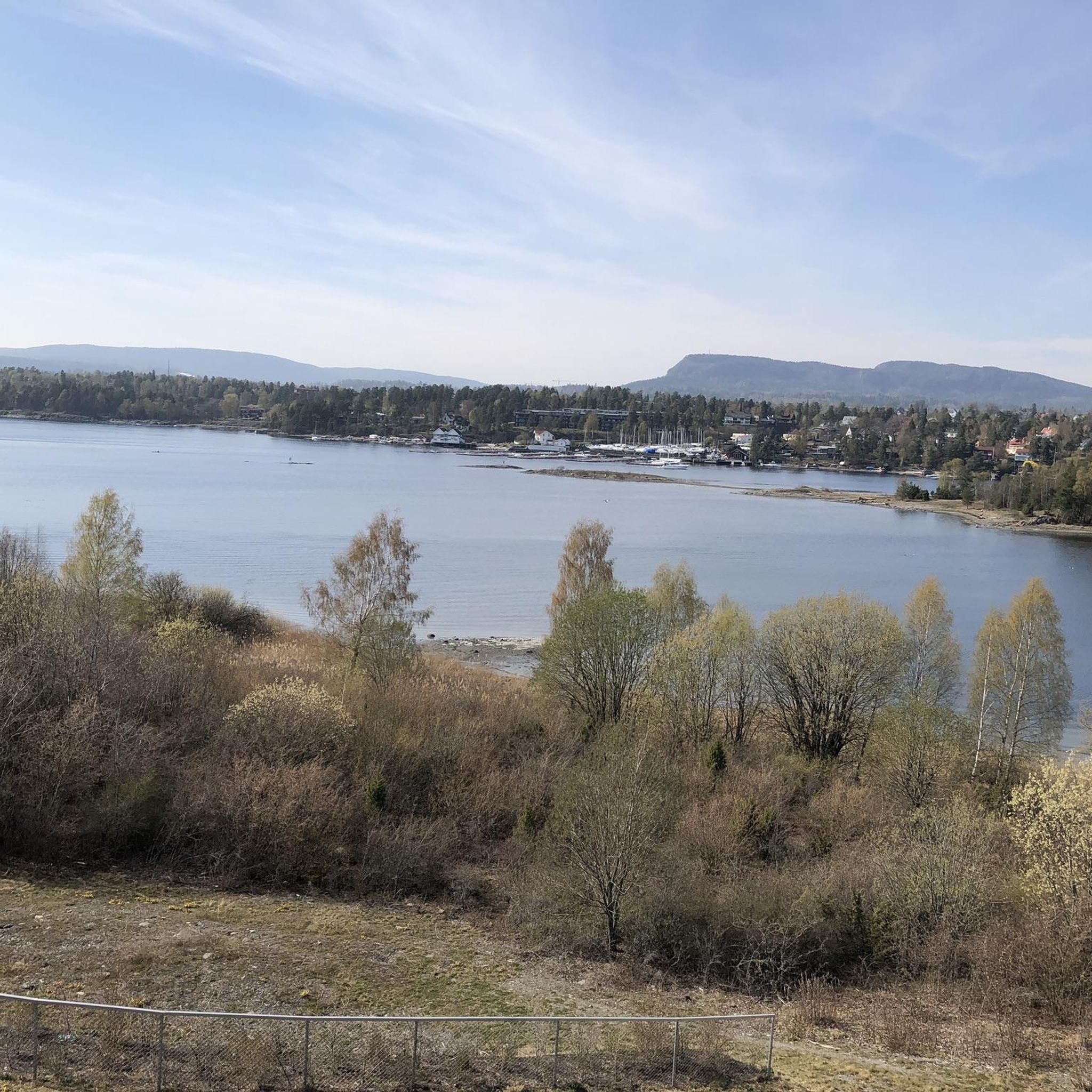
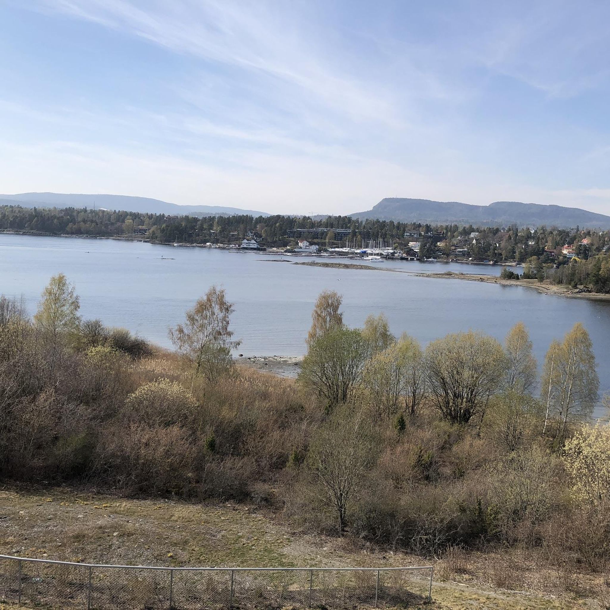
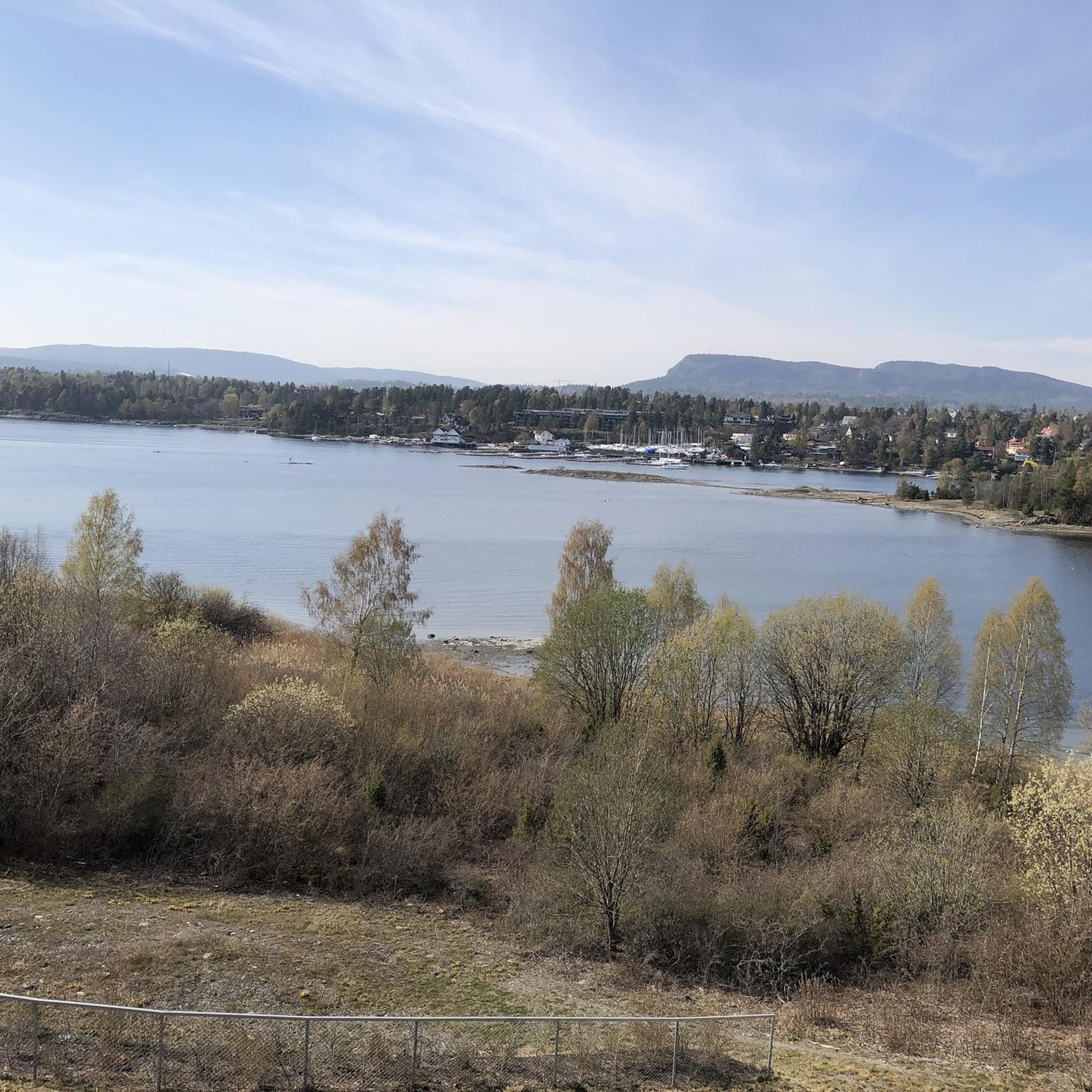
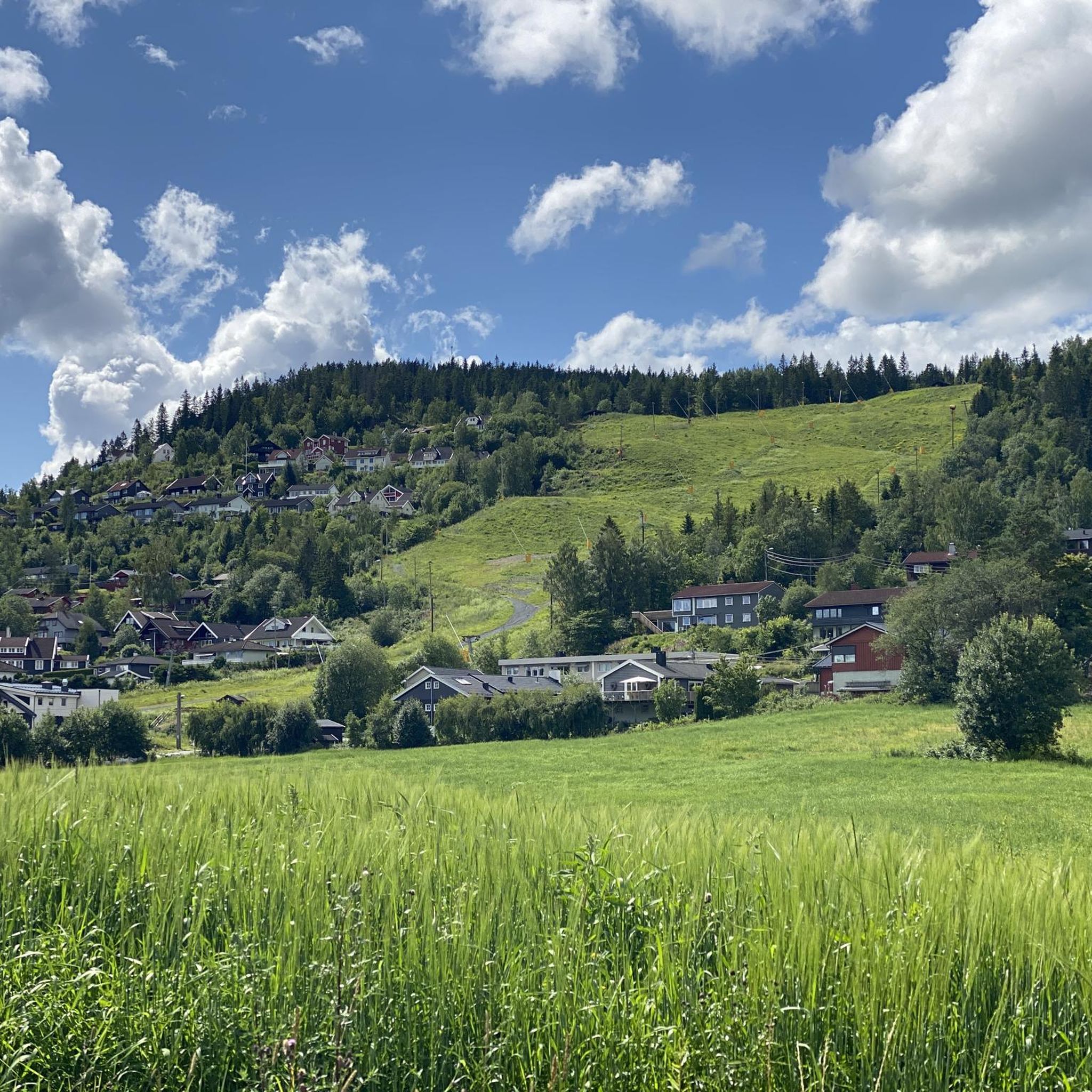
Although not as high as neighbouring Kraftkollen, Glasåsen provides better views and is still one of the highest points in Vestmarka. On a good day, expect a lovely vista across Lierdalen. The cliff edge is a spectacular place from which to enjoy the scenery.
0
0
Kraftkollen is the highest point in Vestmarka at 481 meters (1,578 ft). It's relatively easy to access from the Rotuvegen and its top is the site of an old warning beacon. Trees obstruct any sort of extensive panorama, but the nearby summit of Glasåsen provides some exceptional views across Lierdalen.
0
0

Bergsåstoppen offers sweeping views over fjords, forested slopes, and rugged mountain terrain stretching far into the distance.
0
0

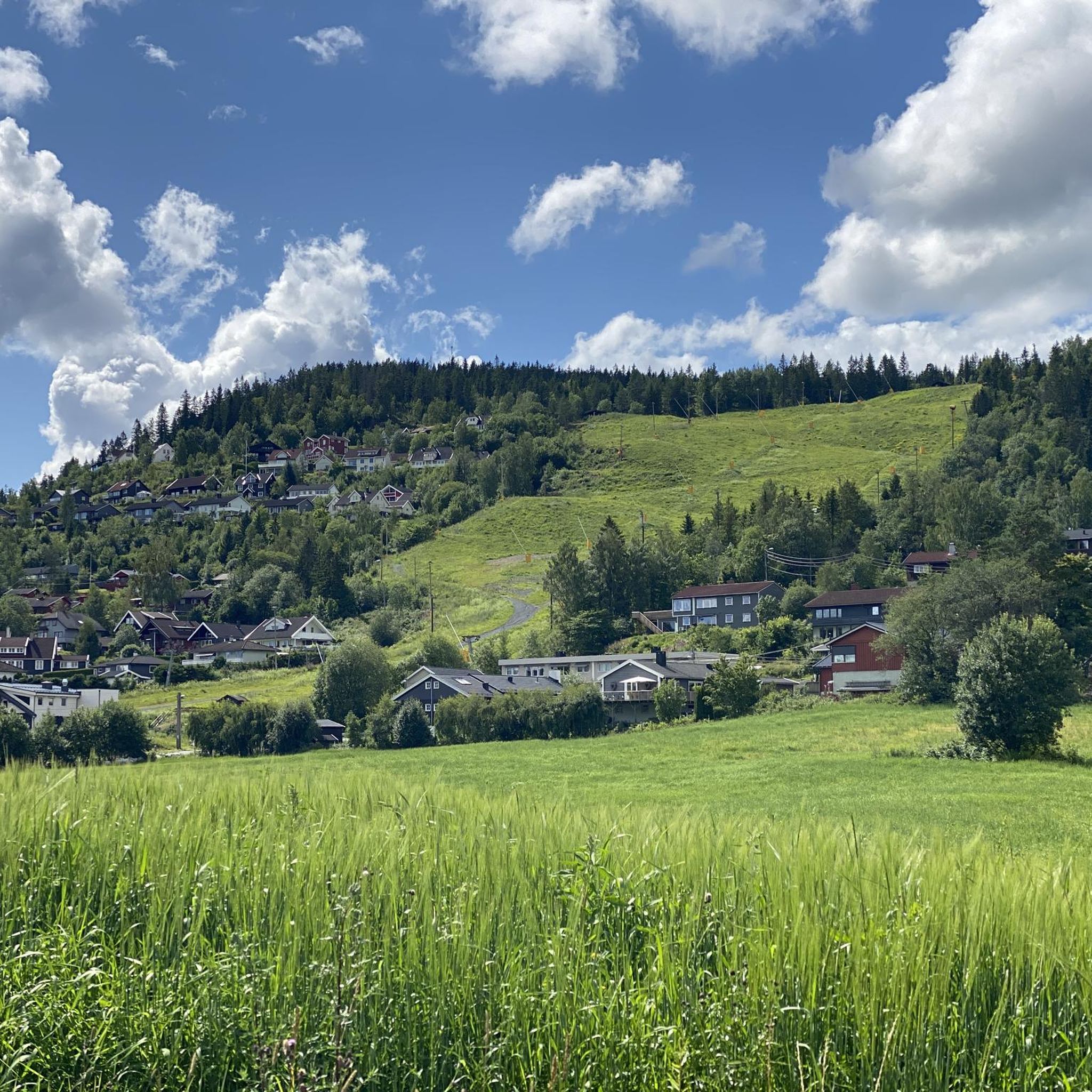
This rocky forest trail, full of roots, makes for a challenging but ultimately rewarding hiking experience.
0
0

Many rare plant species can be found in the area around Gyrihaugen and throughout the Mørgonga Nature Reserve, particularly alpine and heat-loving plants. One special feature is the European yew (Taxus baccata), whose flexible wood was once used for bows and crossbows 🏹
2
0
Rising 682 meters above sea level, Gyrihaugen rewards hikers with one of the best panoramic views in the Ringerike region. From the summit, you can see Steinsfjorden, the rolling forests of Nordmarka, and even the distant mountains on clear days.
2
0

You can ride the road all the way to the top. Don´t mind the signs, construction work has ended.
0
0
Frequently Asked Questions
Which mountain peaks around Bærum offer the best panoramic views?
For truly expansive vistas, head to Gyrihaugen, which provides one of the best panoramic views in the Ringerike region, including Steinsfjorden and Nordmarka. Glasåsen in Vestmarka also offers exceptional views across Lierdalen from its spectacular cliff edge. Kolsåstoppen is another excellent choice, with splendid panoramic views overlooking the Oslo Fjord, Oslo, and Bærum.
Are there family-friendly mountain hikes near Bærum?
Yes, Kolsåstoppen offers family-friendly routes, though some sections can be steep. The area is easily accessible by public transport and provides rewarding experiences for various skill levels. For easier, shorter walks, consider routes like the "Storøyspissen loop" found in the Hiking around Bærum guide.
What is the highest mountain peak within Bærum municipality?
Vidvangshøgda is officially recognized as the highest point within Bærum, reaching an altitude of 552 meters (1,811 ft). While its specific recreational features are not as widely detailed as other peaks, it offers a goal for those interested in reaching the municipality's highest natural point.
What natural features can I expect to see on these mountain peaks?
You'll encounter diverse natural beauty. Kolsåstoppen is part of a nature reserve, featuring an idyllic small lake called Seterstjern. The area around Gyrihaugen is known for rare plant species, including the European yew. Many peaks, like Bergsåstoppen, offer sweeping views over fjords and forested slopes.
Are there any historical or cultural sites on the mountain peaks?
Yes, Kolsåstoppen is particularly rich in history. You can find old rock carvings of boats near Dælivannet lake and remains of an old village castle from the migration period along its trails. Kraftkollen is also notable as the site of an old warning beacon.
How can I reach Kolsåstoppen using public transport?
Kolsåstoppen is easily accessible by public transport, specifically by T-bane (metro) or bus, making it a convenient option for hikers without a car.
What are some challenging hiking routes near Bærum's mountain peaks?
For a more strenuous experience, consider the rocky forest trail to Bergsåstoppen, which is full of roots and offers a rewarding challenge. The trail to Frønsvollsåsen also features a rocky forest path. You can find more difficult routes like "Topp7 Vestmarka to the Halvorsenhytta" in the Hiking around Bærum guide.
What other outdoor activities can I do near these mountain peaks?
Beyond hiking, Bærum offers a variety of outdoor activities. You can explore running trails like the "Lysakerelva Trail" from the Running Trails around Bærum guide, or enjoy road cycling routes such as the "Kjekstadmarka Loop from Sandvika" found in the Road Cycling Routes around Bærum guide.
Which peak is the highest point in Vestmarka?
Kraftkollen is the highest point in Vestmarka, reaching an elevation of 481 meters (1,578 ft). While its summit views are obstructed by trees, the nearby Glasåsen offers superior panoramic views in the area.
What makes Kolsåstoppen a popular destination for climbers?
Kolsåstoppen is renowned as one of the largest climbing areas in the Oslo region, particularly its steep western side. It serves as a favorite training ground for climbers due to its challenging rock faces.
What is the best time of year to hike the mountain peaks around Bærum?
The best time to hike is generally from spring through autumn (May to October) when the weather is milder and trails are clear of snow and ice. During these months, you can fully enjoy the panoramic views and diverse natural features. Winter hiking is possible on some trails, but requires appropriate gear and caution due to snow and ice.
Most popular attractions around Bærum

Get inspired with the komoot mobile app


Explore more
See even more amazing summits around Bærum with these guides:
