The 4 Most Amazing Peaks around Saint-Sorlin
Best mountain peaks around Saint-Sorlin offer diverse landscapes and points of interest. This region features various summits, including the highest points of the Monts du Lyonnais. Visitors can explore natural monuments and historical sites. The area provides opportunities for hiking and enjoying panoramic views.
Best mountain peaks around Saint-Sorlin
- The most popular mountain peaks is Le Signal de Saint André, a summit that is one of the highest points of the Monts du Lyonnais at 934 meters. At the…
Last updated: October 9, 2026
Le Signal de Saint André
Highlight • Summit
Translated by Google •
Tip by

The Camel
Highlight • Summit
Translated by Google •
Tip by

Sign up now to discover places like this
Get recommendations on the best single tracks, peaks, & plenty of other exciting outdoor places.
Panorama of the Monts du Lyonnais
Highlight • Summit
Translated by Google •
Tip by

Crêt Malherbe – Highest point of the Monts du Lyonnais
Highlight • Summit
Translated by Google •
Tip by

Croix Perrière
Highlight • Summit
Translated by Google •
Tip by

Start today with a free account
Your next adventure awaits.

Tips from the Community


Piece of the Roman aqueduct of Gier resembling a camel.
1
0

At approximately 770 m above sea level. Little deserved break after the climb from Thurins.
0
0
Landscaped summit (accessible on foot) commemorating the locations of the geographer César-François Cassini de Thury between 1758 and 1761.
0
0

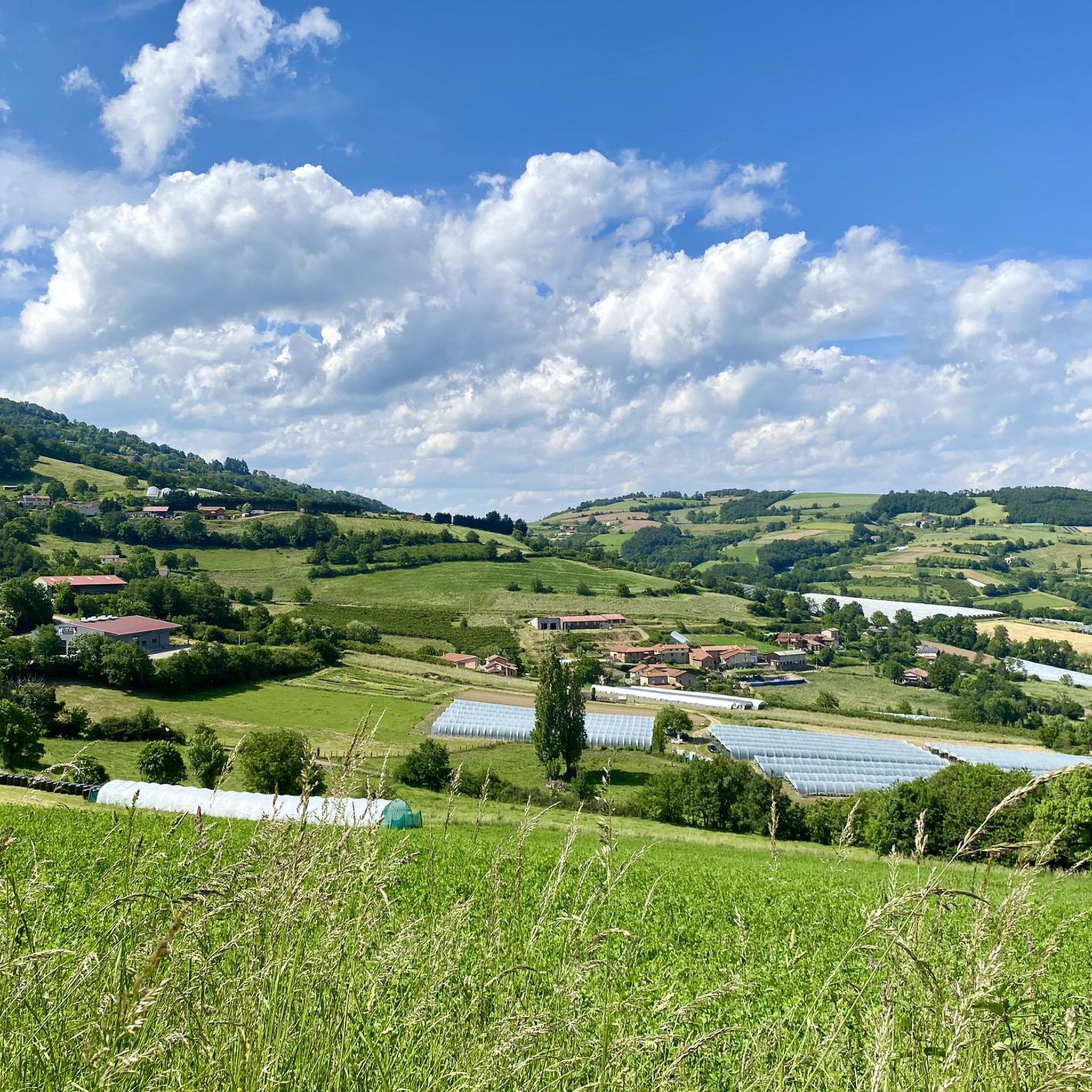
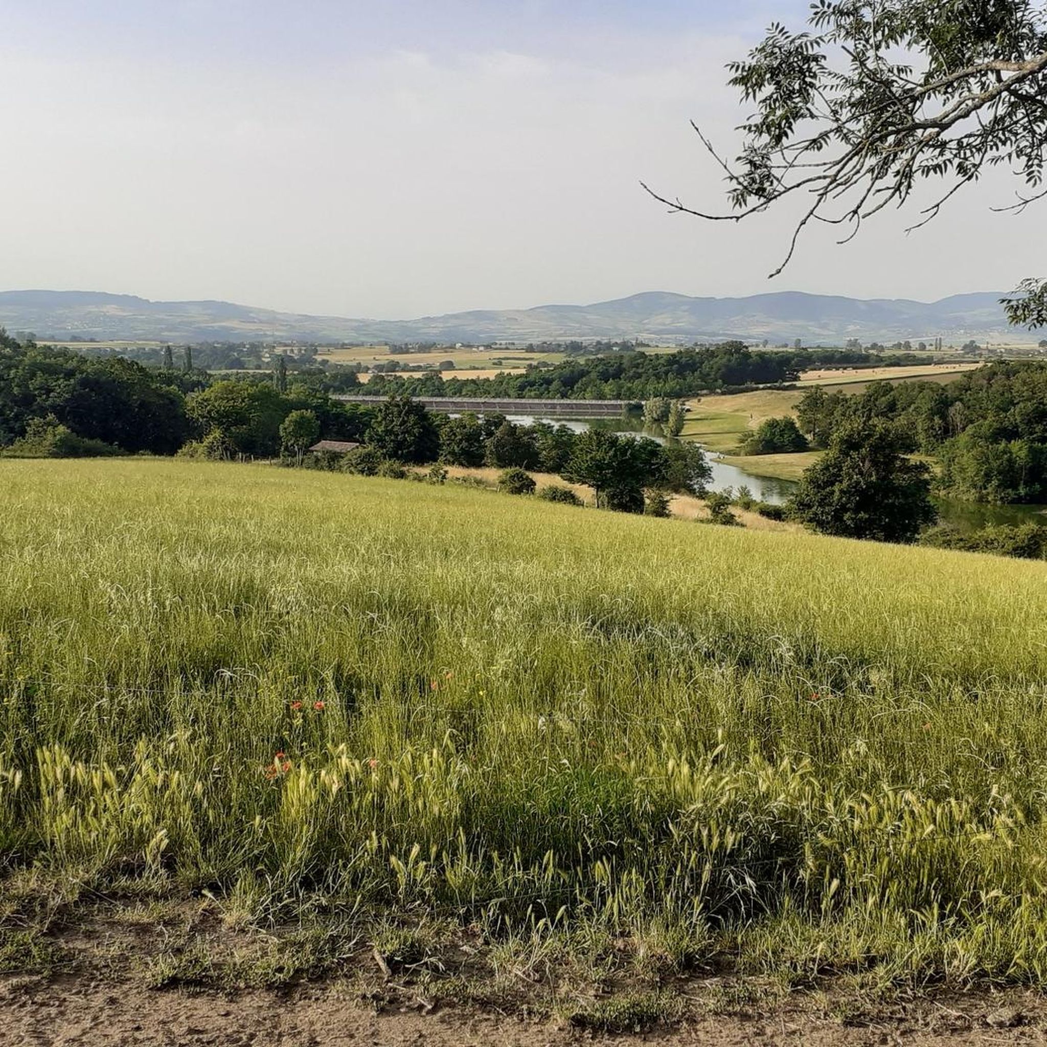
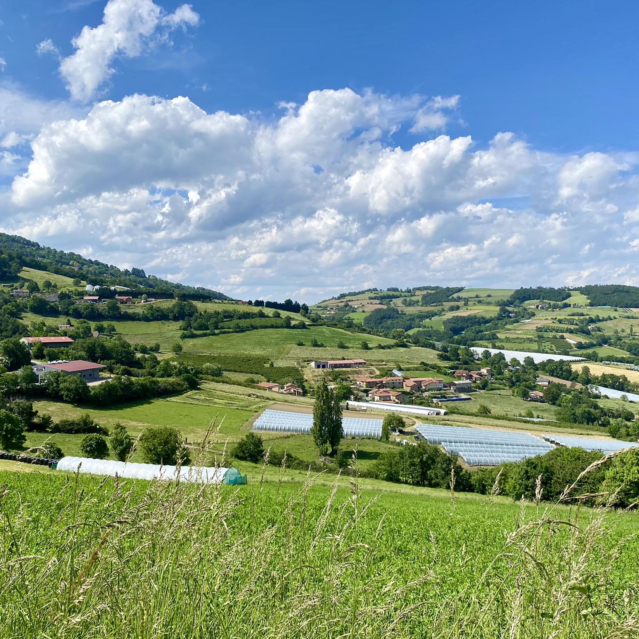
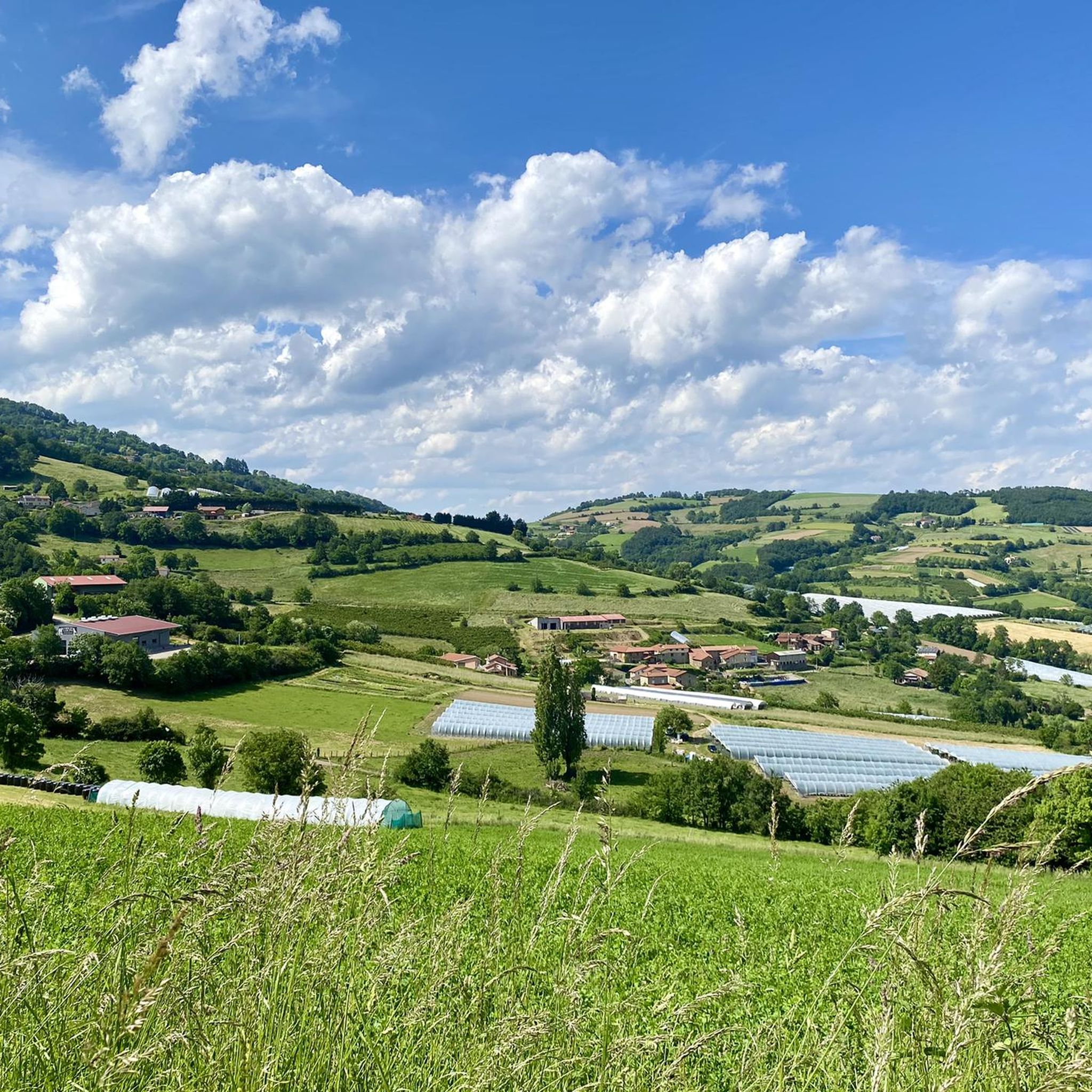
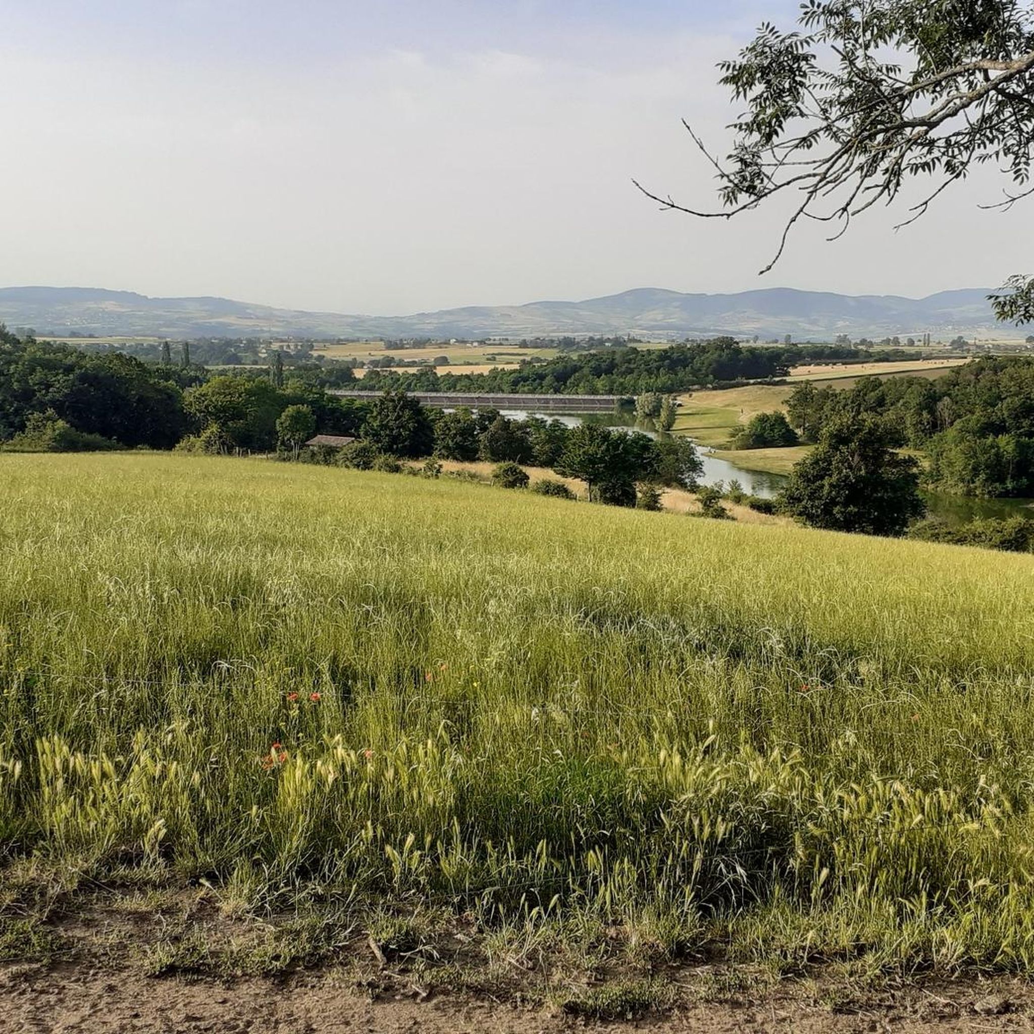
From Grand Croix, you can appreciate the Monts du Lyonnais. Breathtaking views that deserve a stop.
2
0

One of the still visible elements of the Roman aqueduct of Gier, where nature and time have played with the stones to give them this improbable shape reminiscent of a camel (or more surely a dromedary!).
0
0

The Signal de Saint André, at an altitude of 934m, is one of the highest points of the Monts du Lyonnais. At the top, accessible on foot via a small path, a belvedere allows you to enjoy a view overlooking the Valley.
1
0

The Crêt Malherbe is the highest point of the Monts du Lyonnais with an altitude of 943 meters (only 934 meters for the Signal de Saint André).
0
0
Frequently Asked Questions
What are the most notable mountain peaks to visit around Saint-Sorlin?
The region around Saint-Sorlin in the Monts du Lyonnais offers several distinct peaks. Among them are Le Signal de Saint André, known for its historical significance and panoramic views, and Crêt Malherbe, which is the highest point of the Monts du Lyonnais. You can also explore Panorama of the Monts du Lyonnais for breathtaking vistas.
Are there any family-friendly mountain walks or easy trails near Saint-Sorlin's peaks?
Yes, there are options for families and those seeking easier walks. For example, the 'Hiking loop from Saint-André-la-Côte' is an easy 4.2 km route. Another easy option is the 'Signal St André (at 934m) – Le Signal de Saint André loop from Saint-André-la-Côte', which is about 6 km. You can find more details on these and other hiking routes in the Hiking around Saint-Sorlin guide.
What kind of views can I expect from the mountain peaks in this area?
From peaks like Le Signal de Saint André and Crêt Malherbe, you can expect extensive views overlooking the Valley and the wider Monts du Lyonnais. The Panorama of the Monts du Lyonnais specifically offers breathtaking vistas that are well worth a stop.
Are there any historical or unique natural features on these peaks?
Absolutely. Le Signal de Saint André is a historical site, commemorating the locations of geographer César-François Cassini de Thury. You can also find 'The Camel', a unique rock formation that is part of the Roman aqueduct of Gier, shaped by nature to resemble a dromedary.
What other outdoor activities can I do near these mountain peaks?
Beyond hiking, the area around Saint-Sorlin offers excellent opportunities for cycling. You can explore various gravel biking routes, with options ranging from moderate to difficult, such as the 'Orliénas – Fortified village of Orliénas loop'. There are also dedicated MTB trails, including 'Bucolic Singletrack – Montagny water tower loop' and 'Rocks and Flow loop'. For more information, check out the Gravel biking around Saint-Sorlin and MTB Trails around Saint-Sorlin guides.
What is the highest point in the Monts du Lyonnais near Saint-Sorlin?
The highest point in the Monts du Lyonnais is Crêt Malherbe, reaching an altitude of 943 meters. It offers a prominent viewpoint in the region.
Are there any lakes accessible from the mountain trails?
Yes, one of the nearby hiking routes, 'Madone Lake – Lac de la Madone loop from Mornant', will take you to Lac de la Madone. This moderate 7.3 km trail offers a chance to enjoy a natural lake setting.
What is the typical difficulty level for hiking to these peaks?
Most of the highlighted peaks and their surrounding trails are classified as intermediate difficulty. For instance, the paths to Le Signal de Saint André and Crêt Malherbe are suitable for intermediate hikers. There are also easier options available for less experienced walkers, as mentioned in the family-friendly question.
What do visitors enjoy most about the mountain peaks around Saint-Sorlin?
Visitors particularly appreciate the panoramic views from summits like Le Signal de Saint André and the Panorama of the Monts du Lyonnais. The unique natural formations, such as 'The Camel', and the historical context of certain sites also add to the appeal, offering a blend of natural beauty and cultural interest.
Can I find challenging mountain trails near Saint-Sorlin?
Yes, if you're looking for more challenging routes, some of the gravel biking and MTB trails are rated as 'difficult'. For example, the 'Orliénas – Fortified village of Orliénas loop' for gravel biking is a challenging 37 km route. While specific hiking trails to the peaks themselves might be intermediate, the broader network of routes provides options for those seeking a greater challenge in the surrounding area.
Is there public transport access to the mountain peaks or trailheads?
While specific public transport details for each trailhead are not provided, it's generally recommended to check local transport options or consider driving to access the starting points for hikes and other activities around Saint-Sorlin. Parking is often available near popular trailheads.
Most popular routes around Saint-Sorlin
Most popular attractions around Saint-Sorlin

Get inspired with the komoot mobile app


Explore more
See even more amazing summits around Saint-Sorlin with these guides:
