The best gravel rides around Begonte
23
riders
1
ride
Gravel biking around Begonte offers diverse terrain within the Terra Chá district and the Terras do Miño Biosphere Reserve. The region features a mix of landscapes, including extensive woodlands, river valleys, and varied surfaces such as compact earth, loose gravel, and forest trails. Cyclists can expect both flatter sections and areas with moderate elevation changes, characteristic of its natural environment. This varied topography provides a constantly changing and engaging riding experience.
Best gravel bike trails around Begonte
- The most popular…
Last updated: July 4, 2026
5
riders
113km
07:40
1,620m
1,620m
Hard gravel ride. Very good fitness required. Mostly paved surfaces. Suitable for all skill levels.
1
riders
Moderate gravel ride. Good fitness required. Mostly paved surfaces. Suitable for all skill levels.

Sign up for free
3
riders
51.5km
03:26
610m
610m
Hard gravel ride. Very good fitness required. Mostly paved surfaces. Suitable for all skill levels.
Our route recommendations are based on thousands of hikes, rides, and runs completed by other people on komoot.
Start today with a free account
Your next adventure awaits.
Login or Signup
Other adventures around Begonte

Tips from the Community

The Terras do Miño Biosphere Reserve covers a large part of the province of Lugo, including Vilalba, and is characterized by: Rivers and streams with ancient stone bridges, some built with slate, typical of the region. River trails and routes that cross traditional structures such as footbridges, mills, and medieval bridges. The Madalena River, which flows through Vilalba, has several points of natural and ethnographic interest.
3
0
These are two large, rounded granite formations, known as "disjunction boulders," rising to approximately 619 meters above sea level. Their origin is natural, the result of biochemical erosion of water on the granite rock, although some believe they were modified by humans for ancient rituals.
3
0
The Santo Alberte Bridge, also known as Ponte de San Alberte, is a medieval gem located in the municipality of Guitiriz (Lugo), over the Parga River, in the heart of the Terras do Miño Biosphere Reserve. Although believed to have Roman origins, the current structure is Gothic in style, built in the 14th century and renovated in the 18th century and again in 2006.
3
0
It is located near the village of Francos, near the PR-G 155 hiking trail, which also includes the Penas de Rodas recreational area. Access can be achieved on foot as part of this trail or by car to the recreational area, from where you can climb to the viewpoint.
3
0
El Mirador de Paraños, situat- ed en el municipio de Outeiro de Rei (Lugo), es un punto panorámico destaque dentro de la comarca de la Terra Chá, ideal para disfrutar de vistas amplias y espectaculares del paisaje gallego.
3
0

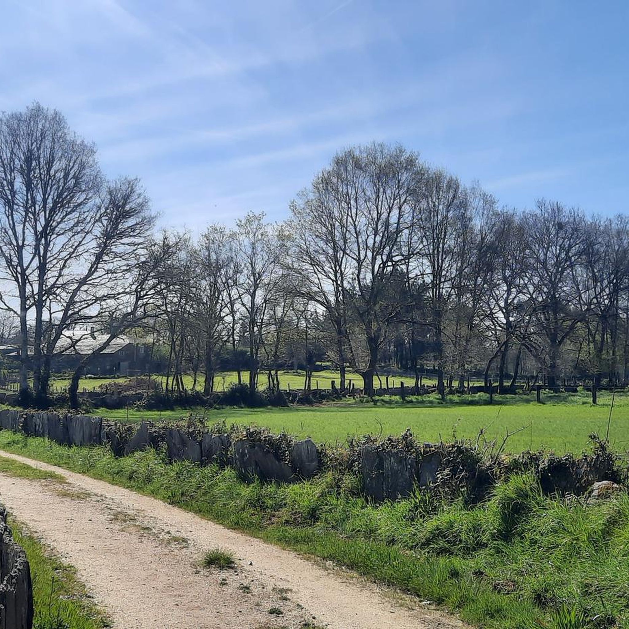
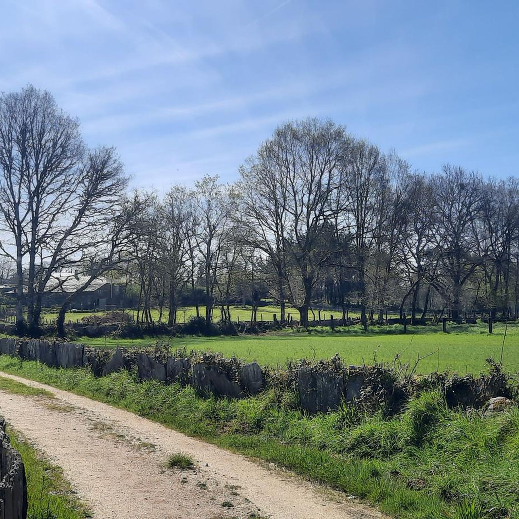
The slate slabs appear to be installed vertically into the bridge, so that the narrow sides of the slabs form a very fine pavement.
1
0
Good opportunity to take a break and cool your feet.
1
0

Take a break, pause and maybe give your legs a refreshment 🤙
1
1
Frequently Asked Questions
What kind of terrain can I expect on gravel bike trails around Begonte?
Begonte, located in the Terra Chá region, is known as a 'paradise for gravel' enthusiasts due to its diverse terrain. You'll encounter an extensive network of farm tracks and secondary roads with varied surfaces, including compact earth, loose gravel sections, forest trails, and stony paths. The topography ranges from fast, flat plains to challenging climbs, ensuring a constantly engaging riding experience.
Are there gravel routes suitable for beginners or families in Begonte?
While the guide features some challenging routes, the broader network in Begonte and the Terra Chá region offers options for different ability levels. For a moderate experience, consider the Caque Lagoon Observation Tower – Castro de Viladonga loop from Castro de Ribeiras de Lea, which covers 47.4 km and is generally less demanding than some of the longer tours.
What are some scenic highlights or natural attractions to see along the gravel routes?
Begonte is within the Terras do Miño Biosphere Reserve, offering rich natural beauty. You can explore woodlands, lush forests, and river trails. Notable natural attractions include the unique 'Ollos de Begonte' (deep, circular ponds) and the Parga-Ladra-Támoga Special Conservation Area. Along some routes, you might pass by the Swimming in the Río de Parga or the Moss-Covered Stone Walls and Forest Path.
Are there any historical landmarks or cultural sites accessible by gravel bike?
Yes, the region blends natural beauty with historical elements. The medieval San Alberte Chapel is a significant piece of Galician heritage. You can also find the Baamonde Church and the Andrade Tower. The Baamonde Church – Swimming in the Río de Parga loop from Baamonde specifically includes the church as a point of interest.
What is the best time of year for gravel biking in Begonte?
The Terra Chá region benefits from a mild and balanced climate for much of the year. Summers are temperate, with average temperatures rarely exceeding 30ºC, making it comfortable for cycling. Cool nights and moderate humidity also contribute to a pleasant riding experience, suggesting spring through early autumn are ideal.
Are there any long-distance or challenging gravel routes for experienced riders?
Absolutely. For experienced riders seeking a challenge, the Sobrado Lagoon – Sobrado dos Monxes Monastery loop from Guitiriz is a difficult route spanning 112.5 km with significant elevation gain, typically taking over 9 hours to complete. The Baamonde Church – Swimming in the Río de Parga loop from Baamonde is also rated difficult, covering 51.3 km.
What do other gravel bikers enjoy most about the trails in Begonte?
Gravel bikers using komoot to explore Begonte often praise the region's mixed-surface routes and the diverse landscapes found within the Terra Chá region and the Terras do Miño Biosphere Reserve. The variety of terrain, from flat sections to moderate elevation changes, provides an engaging experience for different skill levels.
Are the gravel routes in Begonte typically loop trails?
Many of the featured gravel routes in Begonte are designed as loops, allowing you to start and finish at the same point. Examples include the challenging Sobrado Lagoon – Sobrado dos Monxes Monastery loop from Guitiriz and the moderate Caque Lagoon Observation Tower – Castro de Viladonga loop from Castro de Ribeiras de Lea.
What kind of natural ecosystems can I expect to see in the Terras do Miño Biosphere Reserve?
The Terras do Miño Biosphere Reserve, the largest in Galicia, is recognized for its integration of traditional rural landscapes with important Atlantic-type ecosystems. You'll find extensive woodlands featuring species like chestnut, birch, and oak, as well as lush forests and inland lagoons on the Miño islands. The Parga-Ladra-Támoga Special Conservation Area within the reserve is particularly rich in riverine habitats.
Are there any specific points of interest related to water along the gravel routes?
Yes, the region is rich in water features. The 'Ollos de Begonte' are unique deep, circular ponds formed from a karst gulf. You can also find the Swimming in the Río de Parga, which is part of a popular loop route. The Parga, Ladra, and Támoga rivers and their tributaries flow through the area, often featuring picturesque river trails and ancient stone bridges like the San Alberte Bridge.
Most popular attractions around Begonte

Get inspired with the komoot mobile app


Explore more
Browse the best Gravel rides in other regions.
