The best gravel rides around Torre De Santa María
5.0
(1)
10
riders
5
rides
Gravel biking around Torre De Santa María, located in Spain's Extremadura region, offers diverse terrain within the Sierra de Montánchez. The landscape is characterized by extensive dehesas of oak and cork oak trees, scrubland, and olive groves. Riders can expect a mix of rolling hills and valleys, providing varied routes for exploration. The area features both natural beauty and traditional charm, with an extensive network of tracks suitable for gravel cycling.
Best gravel bike trails around Torre De Santa María
…Last updated: July 4, 2026
5.0
(1)
3
riders
Moderate gravel ride. Good fitness required. Mostly paved surfaces. Suitable for all skill levels.
2
riders
Moderate gravel ride. Good fitness required. Mostly paved surfaces. Suitable for all skill levels.

Sign up for free
3
riders
67.3km
05:08
630m
630m
Hard gravel ride. Very good fitness required. Mostly paved surfaces. Suitable for all skill levels.
1
riders
41.4km
03:01
400m
400m
Moderate gravel ride. Good fitness required. Mostly paved surfaces. Suitable for all skill levels.
1
riders
32.5km
02:28
350m
360m
Moderate gravel ride. Good fitness required. Mostly paved surfaces. Suitable for all skill levels.
Our route recommendations are based on thousands of hikes, rides, and runs completed by other people on komoot.
Start today with a free account
Your next adventure awaits.
Login or Signup
Tips from the Community

TAMUJA BIKE LOOP MTB CENTER, which is what they have called it and which Bikes at Forest has carried out on behalf of the promoter ADISMONTA. Tracks at: https://es.wikiloc.com/wikiloc/user.do?id=14571663
0
0

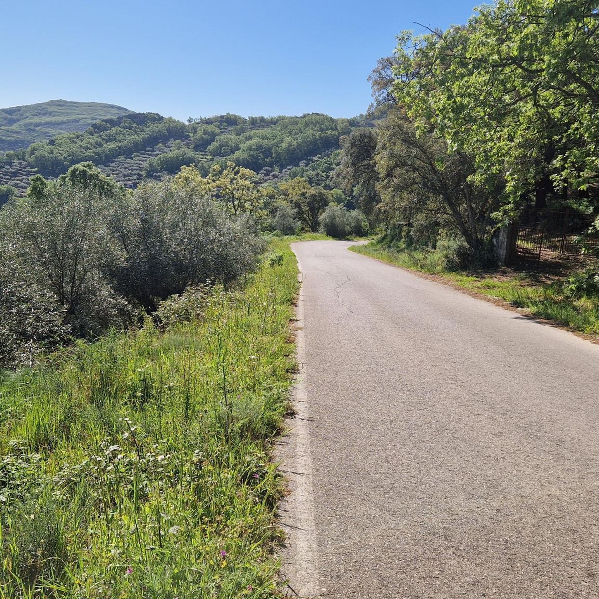
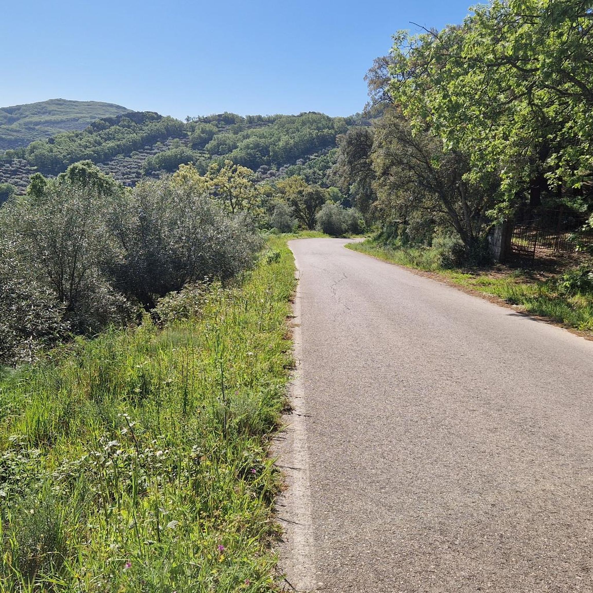
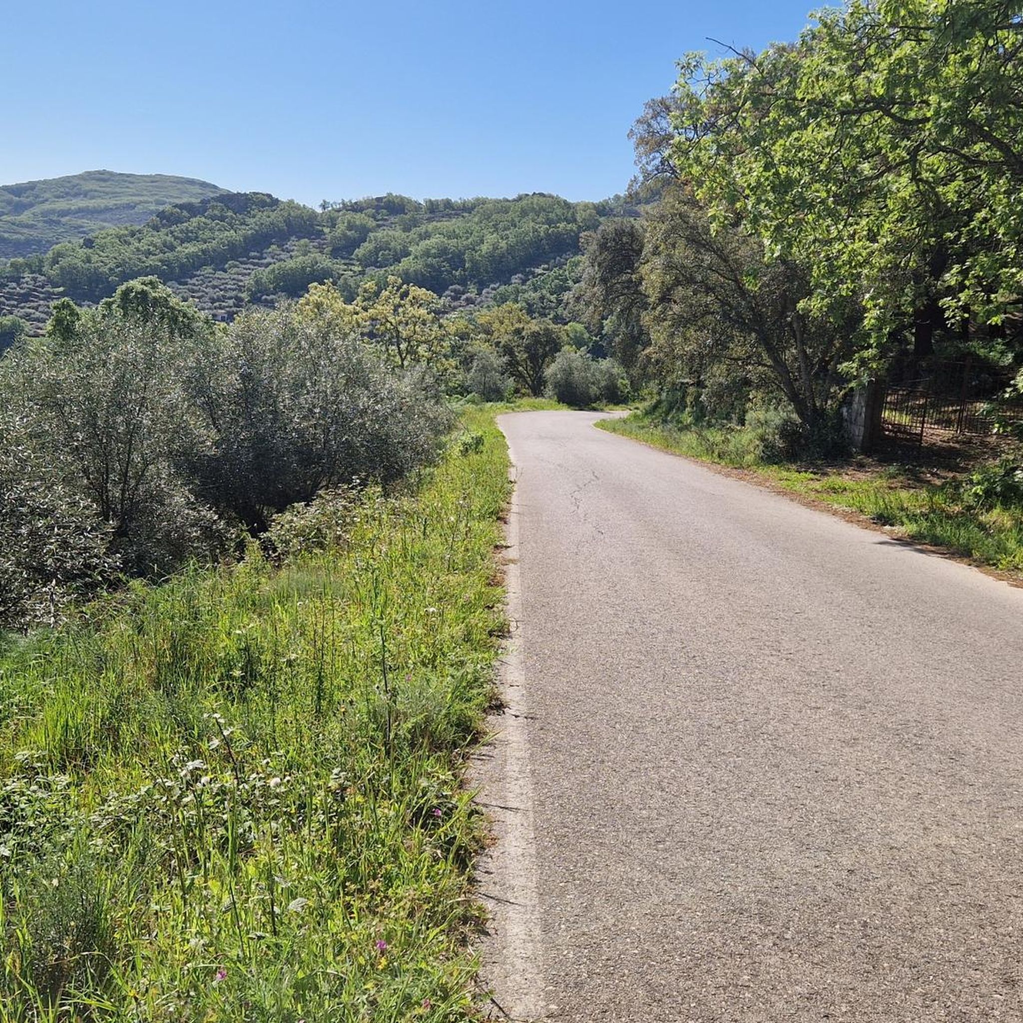
A beautiful stretch with very little traffic that always goes upwards.
0
0

This small reservoir southeast of Cáceres is also known as Tres Torres. It is very popular among fishermen in the area, as carp are abundant. Its banks are an ideal place to stop to rest and perhaps have something to eat in the middle of our route.
0
0

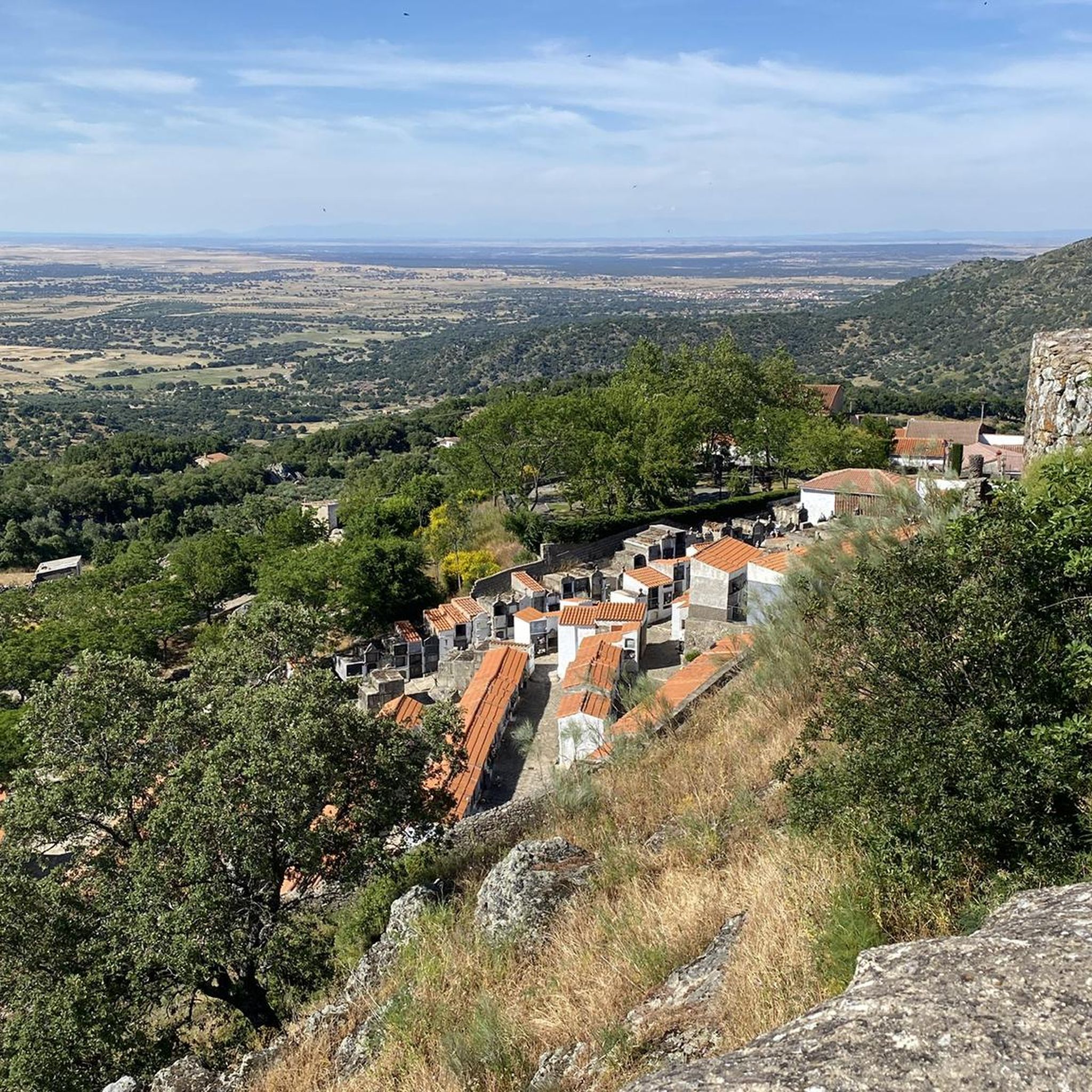
One of the jewels of Cáceres, the historic center of Montánchez is a must-see. Located on a fortified hill that dominates the slopes of the Tagus and the Guadiana dominated by the magnificent walled castle. Walking up towards the castle, you will be greeted by traditional narrow streets and medieval squares.
0
1
Arroyomolinos is a small town in the Montánchez region, founded around the year 1228 by order of King Alfonso IX on a prehistoric settlement. Stop for a coffee along the way and admire the splendid Church of Nuestra Señora de la Consolación.
1
1
One of the jewels of Cáseres, the historic center of Montánchez is a must-see. Located on a fortified hill that dominates the slopes of the Tagus and the Guadiana dominated by the magnificent walled castle. Walking up towards the castle, you will be greeted by traditional narrow streets and medieval squares.
1
1
Albalá is a small town in a flat region located along an old Roman road that ran between Mérida and Toledo through Trujillo. It became famous for its uranium mines. As you cycle through the city, see the impressive Parroquia de Santa María Magdalena.
1
2
Stone bridge over the Salor river on the route to Torreorgaz. On the south shore you can see the Hermitage of San Isidro. In the dry season the water levels are very low.
1
0
Frequently Asked Questions
How many gravel bike trails are available around Torre de Santa María?
There are 5 gravel bike routes available around Torre de Santa María, ranging from moderate to difficult, offering diverse experiences for different skill levels.
What kind of terrain can I expect on gravel routes near Torre de Santa María?
The gravel routes around Torre de Santa María traverse picturesque landscapes characterized by extensive dehesas of oak and cork oak trees, scrubland, and olive groves. You'll encounter a mix of rolling hills and valleys, with varied surfaces including unpaved tracks and quiet roads, typical of the Sierra de Montánchez region.
What is the best time of year for gravel biking in Torre de Santa María?
The Extremadura region, including Torre de Santa María, generally offers pleasant conditions for gravel biking during spring and autumn. These seasons provide milder temperatures, making for more comfortable rides through the dehesas and hills. Summers can be very hot, and winters can be cooler and wetter, so planning around these shoulder seasons is often ideal.
Are there challenging gravel routes with significant elevation gain?
Yes, there are routes that offer significant elevation gain. For instance, the "Encina Terrona – Drinking Water Fountain loop from Valdefuentes" is classified as difficult, featuring over 629 meters of ascent over its 67-kilometer distance, providing a good challenge for experienced riders.
Are there any easier gravel routes suitable for beginners?
While all listed routes are rated moderate to difficult, the region's extensive network of tracks and quiet roads means there are many possibilities for creating easier, shorter rides. The "Montánchez Castle – Plaza de España, Montánchez loop from Valdefuentes" is a moderate option at 32 km with 354m of ascent, which could be a good starting point for those looking for a less strenuous ride compared to the more difficult options.
What historical landmarks can I see along the gravel trails?
Several routes offer glimpses of historical landmarks. The "Montánchez Castle – Plaza de España, Montánchez loop from Valdefuentes" takes you near the historic Montánchez Castle, which dates back to Roman times and offers panoramic views. You might also encounter ancient mills, as indicated by the nearby Ruta de los Molinos, a scenic area with historical significance.
Are there natural features or viewpoints to enjoy during a ride?
Absolutely. The region is rich in natural beauty. The routes often pass through extensive dehesas and offer expansive views of the Montánchez valley. A notable natural monument in the vicinity is "The Rock That Moves," known for its unique shape and providing excellent vistas. You may also discover springs and other natural elements like the Canaleja de la Torre Spring.
Are there circular gravel bike routes available?
Yes, all the gravel routes listed for Torre de Santa María are circular, allowing you to start and finish at the same point. Examples include the "From Aldea del Cano to Albalá – Dehesa de Torremocha loop from Valdefuentes" and the "Drinking Water Fountain loop from Torre de Santa María".
Is public transport available to access the gravel trails?
While specific public transport links directly to trailheads are not widely detailed, Torre de Santa María is a municipality in Cáceres province. For access, it's generally recommended to check local bus services connecting to larger towns in Extremadura, or consider driving to a starting point like Valdefuentes or Torre de Santa María itself, where routes often begin.
Where can I park my car when starting a gravel bike tour?
Many of the routes start from or pass through villages like Valdefuentes or Torre de Santa María. These traditional villages typically have public parking areas, often near the town center or main squares, where you can safely leave your vehicle before embarking on your gravel bike adventure.
Are the gravel trails around Torre de Santa María suitable for families?
The listed routes are generally moderate to difficult, with distances ranging from 32 km to 67 km and notable elevation changes. While the scenic and quiet nature of the dehesas is appealing, these specific routes might be challenging for younger children or families new to gravel biking. However, the extensive network of tracks allows for shorter, custom-planned rides on flatter sections that could be more family-friendly.
Can I bring my dog on the gravel bike routes?
Many of the gravel tracks and rural paths in the dehesa landscape are generally accessible for dogs, especially if kept on a leash. However, always be mindful of local regulations, private land, and livestock. Ensure your dog is well-behaved, accustomed to cycling, and that you carry enough water for both of you, particularly during warmer months.
What do other gravel bikers enjoy the most about gravel biking in Torre de Santa María?
The area is highly rated by the komoot community, with an average score of 5.0 stars. Reviewers often praise the tranquil beauty of the dehesa landscapes, the challenging yet rewarding climbs, and the opportunity to explore traditional Extremaduran villages and historical sites away from busy roads.
Most popular routes around Torre De Santa María
Most popular attractions around Torre De Santa María

Get inspired with the komoot mobile app


Explore more
Browse the best Gravel rides in other regions.
