The best gravel rides around Soportújar
3.5
(3)
17
riders
5
rides
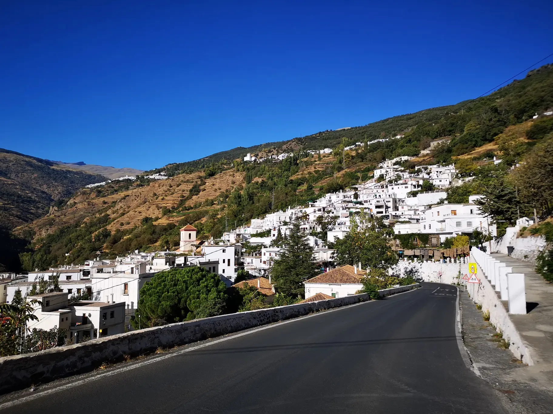
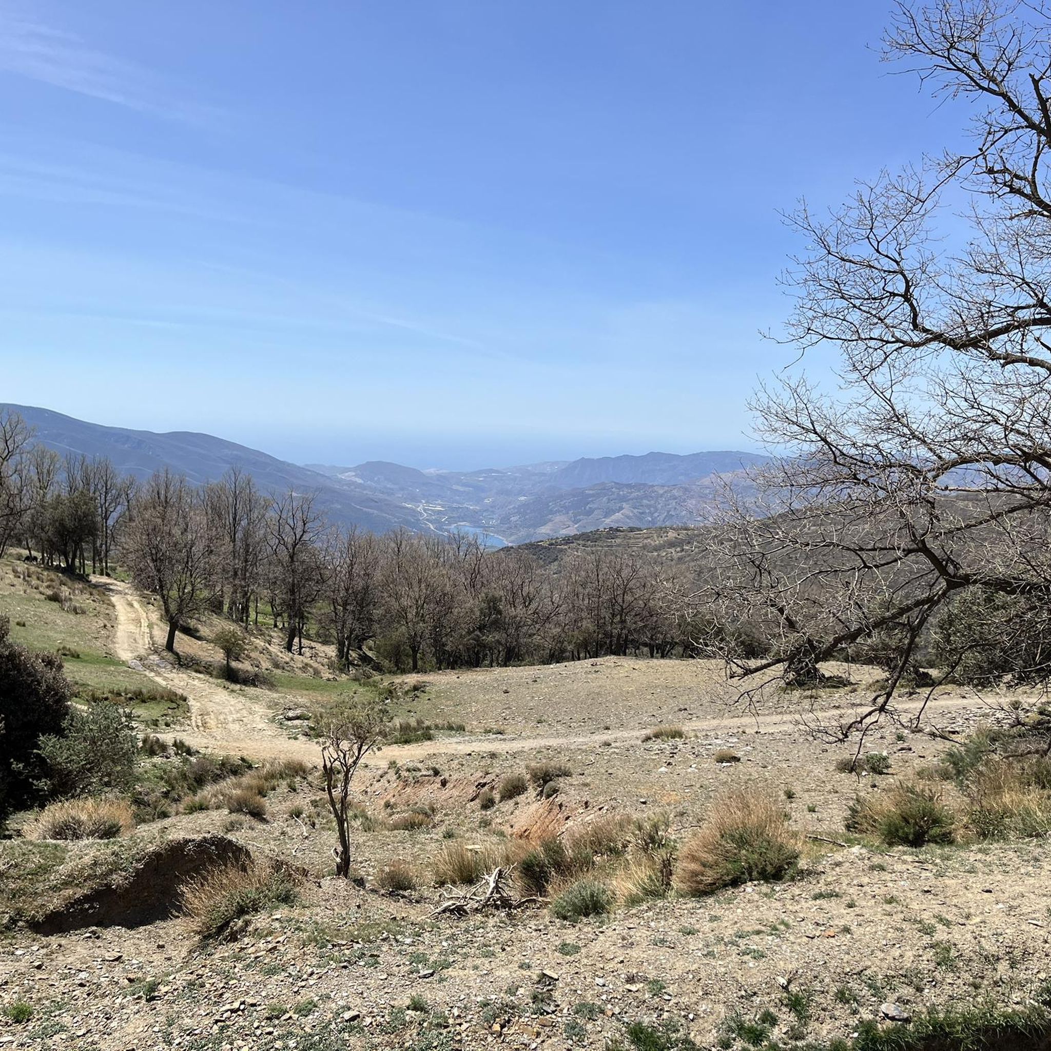
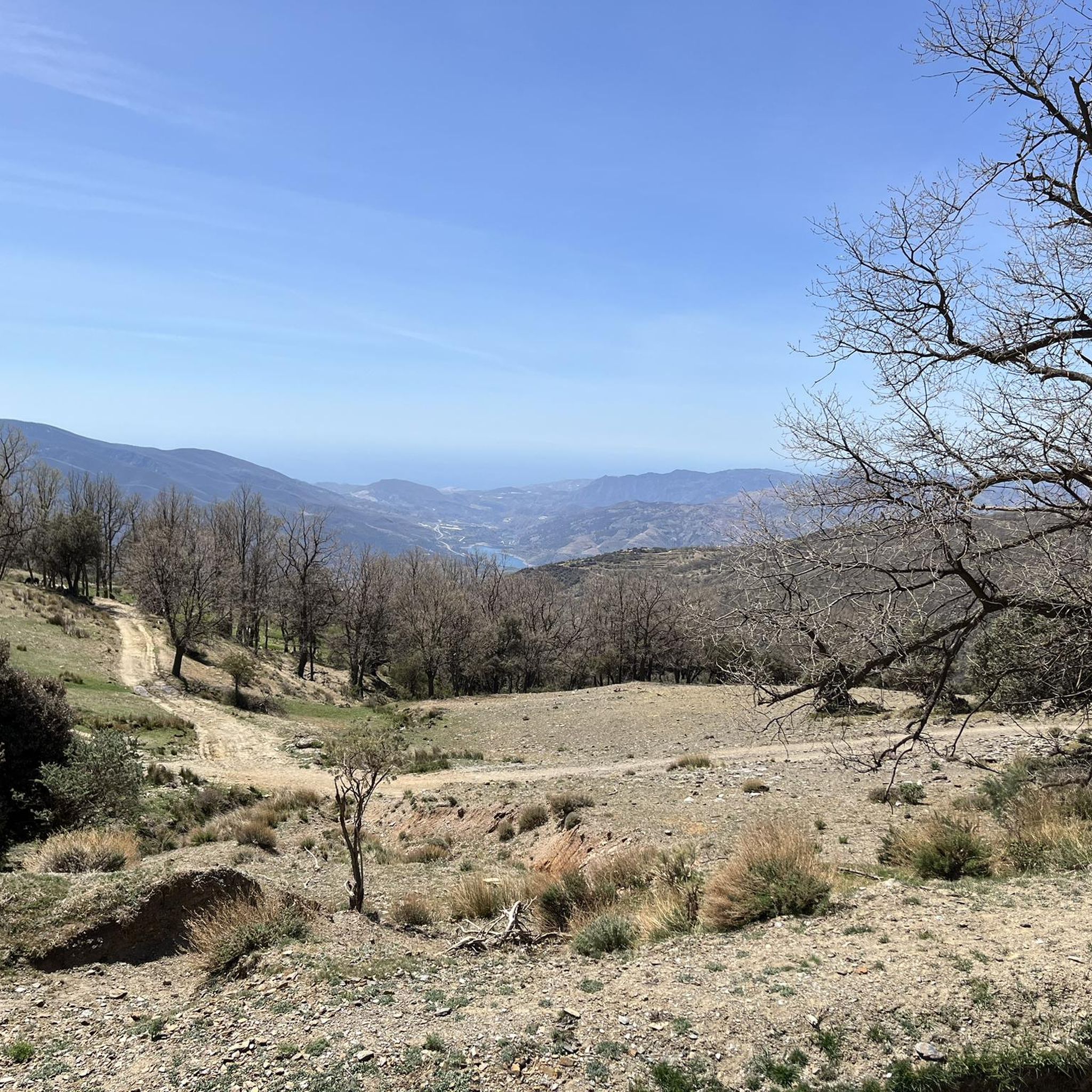
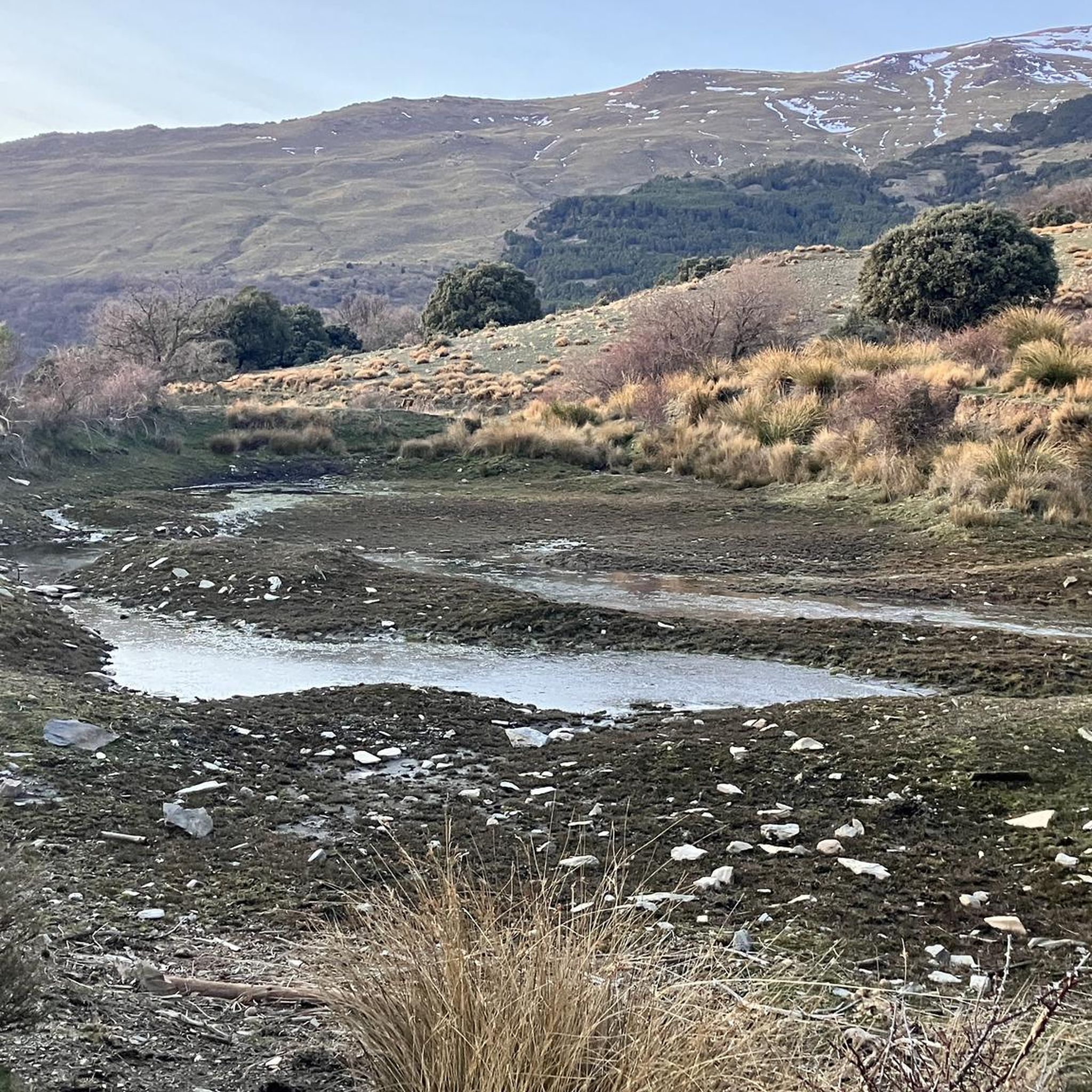
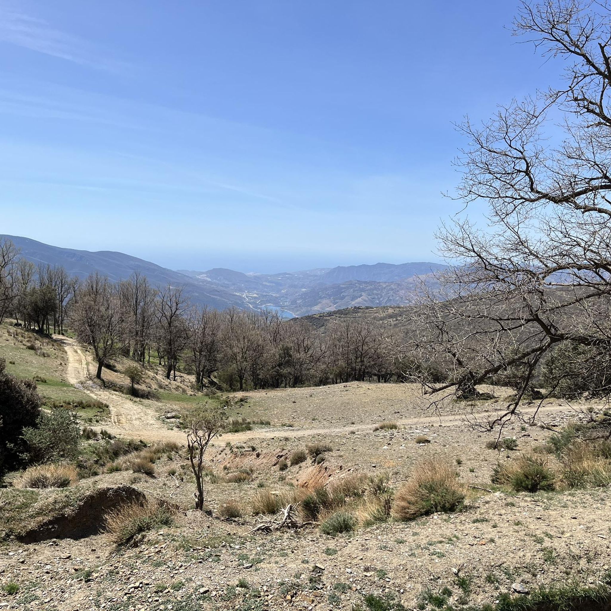
Gravel biking around Soportújar offers access to the extensive network of gravel roads within the Sierra Nevada National Park and the Alpujarra region. This area is characterized by mountainous terrain, deep valleys, and traditional villages, providing demanding climbs and exhilarating descents. Riders can expect varied micro-climates and diverse natural features, including forest areas and panoramic viewpoints. The region's physical landscape makes it a suitable destination for challenging gravel bike trails.
Best gravel bike trails around Soportújar
- The most popular gravel…
Last updated: July 4, 2026
4
riders
27.6km
02:22
900m
900m
Hard gravel ride. Very good fitness required. Mostly paved surfaces. Suitable for all skill levels.
2.0
(1)
4
riders
60.3km
05:13
1,680m
1,680m
Hard gravel ride. Very good fitness required. Mostly paved surfaces. Suitable for all skill levels.

Sign up for free
2
riders
54.1km
04:07
1,520m
1,520m
Hard gravel ride. Very good fitness required. Mostly paved surfaces. Suitable for all skill levels.
5.0
(2)
5
riders
60.5km
04:44
1,820m
1,820m
Hard gravel ride. Very good fitness required. Mostly paved surfaces. Suitable for all skill levels.
2
riders
17.6km
01:24
480m
480m
Hard gravel ride. Very good fitness required. Mostly paved surfaces. Suitable for all skill levels.
Our route recommendations are based on thousands of hikes, rides, and runs completed by other people on komoot.
Start today with a free account
Your next adventure awaits.
Login or Signup

Other adventures around Soportújar

Tips from the Community

Órgiva is a charming Spanish municipality located in the province of Granada, in Andalusia, and is historically considered the capital and administrative center of the western Alpujarra. This town of about 6,000 inhabitants stands at an altitude of 450 meters in the fertile valley of the Guadalfeo River, right at the foot of the Sierra Nevada Natural Park.
0
0

Legendary fountain of Pampaneira. According to the text found there, a bachelor who drinks from it with the intention of getting married would not fail.
0
0

The municipality of Órgiva is part of the Sierra Nevada Natural Park and is located on its southern slopes. Known as the capital of the Alpujarra region of Granada, it is an ideal destination for combining culture, nature, and gastronomy.
11
0
In Pampaneira there are several spectacular viewpoints that offer unique views of the Poqueira Gorge, the white villages of the Alpujarra and the peaks of Sierra Nevada.
2
0
What to see in Pampaneira Liberty Square The town's central hub, with bars, craft shops, and the tourist office. Church of the Holy Cross Built in the Mudéjar style in the 16th century on the site of a former mosque. Fountain of Saint Anthony ("La Chumpaneira") Famous for its legend: whoever drinks from it will find a partner. It's located next to the church. Traditional streets Such as Silence Street or Veronica Street, with Berber architecture, covered walkways, and terraced roofs. Chocolate Factory A delightful place to visit and buy handcrafted products.
6
0
Pampaneira, located in the heart of the Alpujarra region of Granada, is one of the most beautiful villages in Spain. Surrounded by the Poqueira Gorge and next to Bubión and Capileira, it offers a unique experience of traditional architecture, nature, crafts, and gastronomy.
6
0


Frequently Asked Questions
What is the general difficulty level of gravel biking routes around Soportújar?
The gravel biking routes around Soportújar are generally considered challenging, requiring good fitness due to significant elevation gains and demanding terrain. All five routes listed in this guide are rated as difficult, with climbs ranging from approximately 480m to over 1800m.
Are there any circular gravel bike routes available near Soportújar?
Yes, several circular gravel bike routes are available. For example, you can explore the View of Sierra Nevada – Tajos del Ángel Viewpoint loop from Pórtugos, which offers nearly 900m of climbing over 27.5km. Another option is the longer Pampaneira Village – Órgiva to Carataunas Road loop from Lanjarón, covering about 61km with over 1700m of ascent.
What kind of terrain can I expect on the gravel trails in Soportújar?
The terrain around Soportújar is characterized by an extensive network of gravel roads traversing the southern slopes of the Sierra Nevada mountains. You'll encounter spectacular wilderness passes, forest roads, and valleys. Expect varied surfaces, demanding climbs, and exhilarating descents, often with varied micro-climates along the way.
What natural features or landmarks can I see while gravel biking near Soportújar?
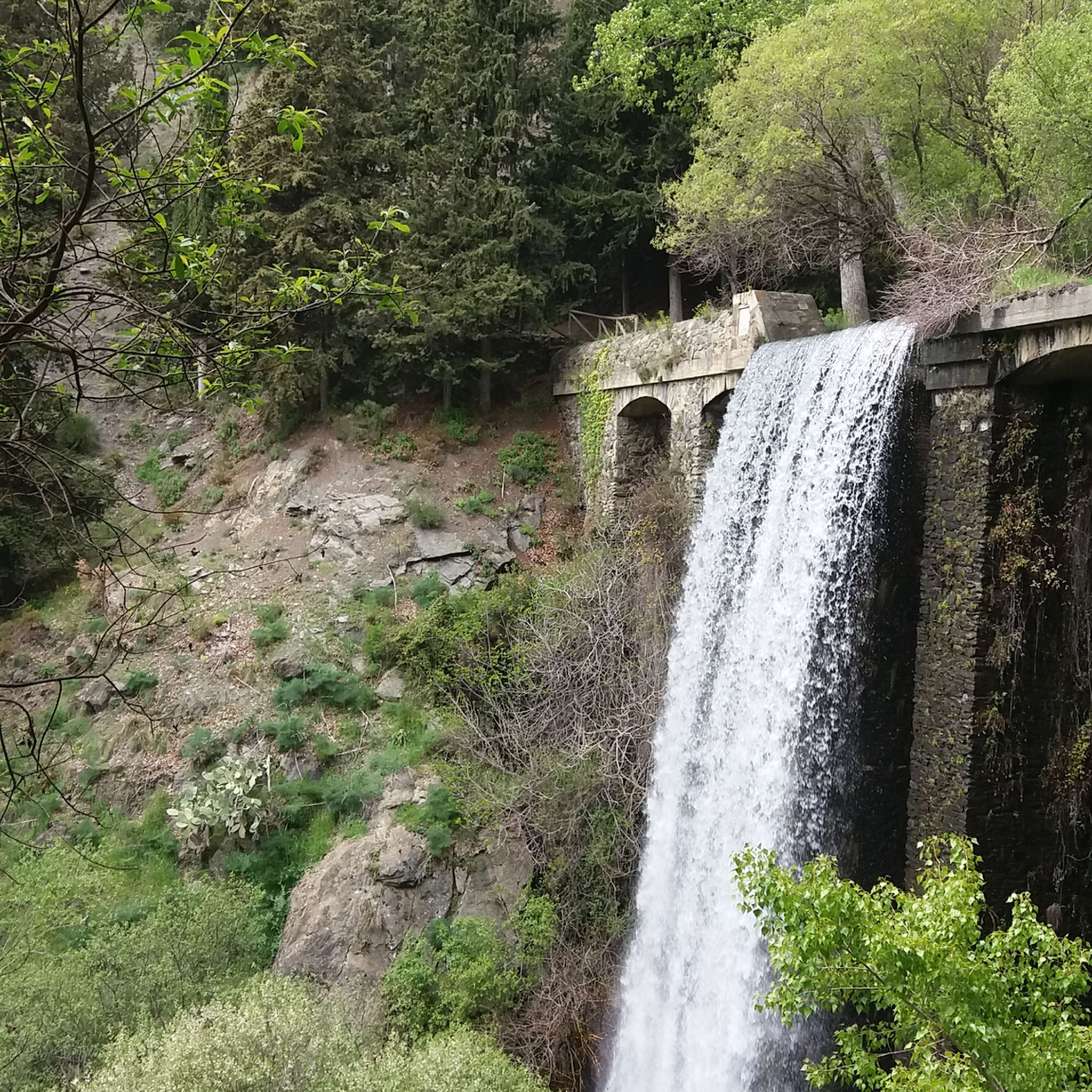
The region offers breathtaking natural beauty. You can ride through parts of the Sierra Nevada National Park, encounter the impressive Barranco del Poqueira, and potentially catch views of the Mulhacén Summit. Notable natural attractions include the Dike 24 of the Río Chico waterfall and the Fuente Agria Ferruginosa, a natural ferrous spring. The Mulhacén Summit itself is a prominent landmark.
Are there any villages or cultural attractions accessible by gravel bike around Soportújar?
Absolutely. The routes often pass through or near traditional Alpujarran villages known for their unique architecture. You can explore villages like Capileira Village and Bubión Village. Soportújar itself is known as the 'witch village' and features unique themed attractions. The Monument to the Virgin of the Snows is another significant cultural landmark.
What is the best time of year for gravel biking in Soportújar?
The southern slopes of the Sierra Nevada offer varied micro-climates. While specific seasonal advice isn't provided, the region is generally suitable for outdoor activities for much of the year. Given the demanding nature of the routes and significant elevation, spring and autumn often provide the most comfortable temperatures for challenging rides, avoiding the peak heat of summer or potential snow at higher altitudes in winter.
What do other gravel bikers enjoy most about the routes around Soportújar?
The routes around Soportújar are highly rated by the komoot community, with an average score of 3.5 stars. Reviewers often praise the stunning landscapes, the challenging nature of the rides, and the opportunity to explore the unique Alpujarran villages and natural features of the Sierra Nevada National Park.
Are there any routes that pass through the famous Poqueira valley or near the O Sel Ling Buddhist Center?
While specific routes in this guide don't explicitly mention passing the O Sel Ling Buddhist Center, the region's extensive network of gravel roads includes trails leading to it. The Barranco del Poqueira, an impressive ravine, is a prominent feature of the area, and routes like the Bubión Village – Capileira Village loop from Órgiva will bring you close to this stunning valley.
What is the longest gravel bike route in this guide?
The longest gravel bike route featured in this guide is the Pampaneira Village – Órgiva to Carataunas Road loop from Lanjarón, which spans approximately 60.9 kilometers and includes over 1700 meters of elevation gain.
What is the shortest gravel bike route in this guide?
The shortest gravel bike route in this guide is the Bubión Village – Capileira Village loop from La Taha, covering about 17.5 kilometers with nearly 500 meters of climbing.
Are there any waterfalls I can visit while gravel biking in the Soportújar area?
Yes, the area around Soportújar is home to several waterfalls. You can find the impressive Dike 24 of the Río Chico, as well as the Lanjarón River Waterfall and the Tajo de Cortés Waterfall. These natural features offer beautiful spots to pause during your ride.
Most popular routes around Soportújar
Most popular attractions around Soportújar

Get inspired with the komoot mobile app


Explore more
Browse the best Gravel rides in other regions.
