The best gravel rides around Valle De Valdebezana
1.0
(1)
21
riders
3
rides
Gravel biking around Valle De Valdebezana offers diverse terrain across the province of Burgos, Castile and León. The region features a mix of lush valleys, dense beech and oak forests, and mountainous areas, providing varied gradients and surfaces for gravel routes. Notable natural features include the expansive Ebro Reservoir and dramatic geological formations such as the Desfiladero de Las Palancas gorge. This varied topography, including river valleys carved by the Trifón and Gándara rivers, creates a rich environment for exploration.
…Last updated: July 4, 2026
83.3km
08:05
1,320m
1,320m
Hard gravel ride. Very good fitness required. You may need to push your bike for some segments of this route.
1.0
(1)
16
riders
41.3km
02:51
280m
280m
Moderate gravel ride. Good fitness required. Mostly paved surfaces. Suitable for all skill levels.

Sign up for free
2
riders
Moderate gravel ride. Good fitness required. Mostly paved surfaces. Suitable for all skill levels.
Our route recommendations are based on thousands of hikes, rides, and runs completed by other people on komoot.
Start today with a free account
Your next adventure awaits.
Login or Signup
Popular around Valle De Valdebezana

TransCantabrica – Extreme mountain biking in northern Spain
Endless valleys and historic villages – Route of the Senses (GR 85)
MTB Trails around Valle De Valdebezana
Hiking around Valle De Valdebezana
Road Cycling Routes around Valle De Valdebezana
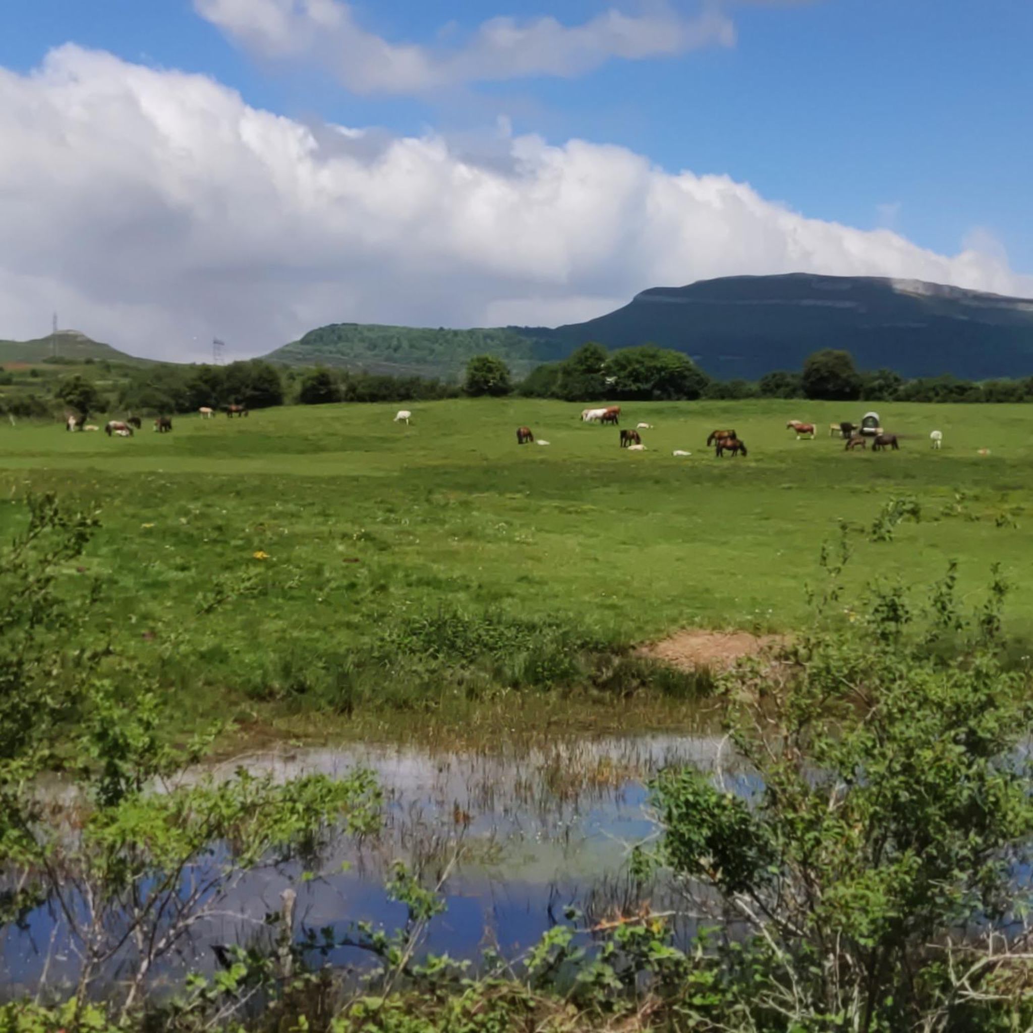
Cycling around Valle De Valdebezana
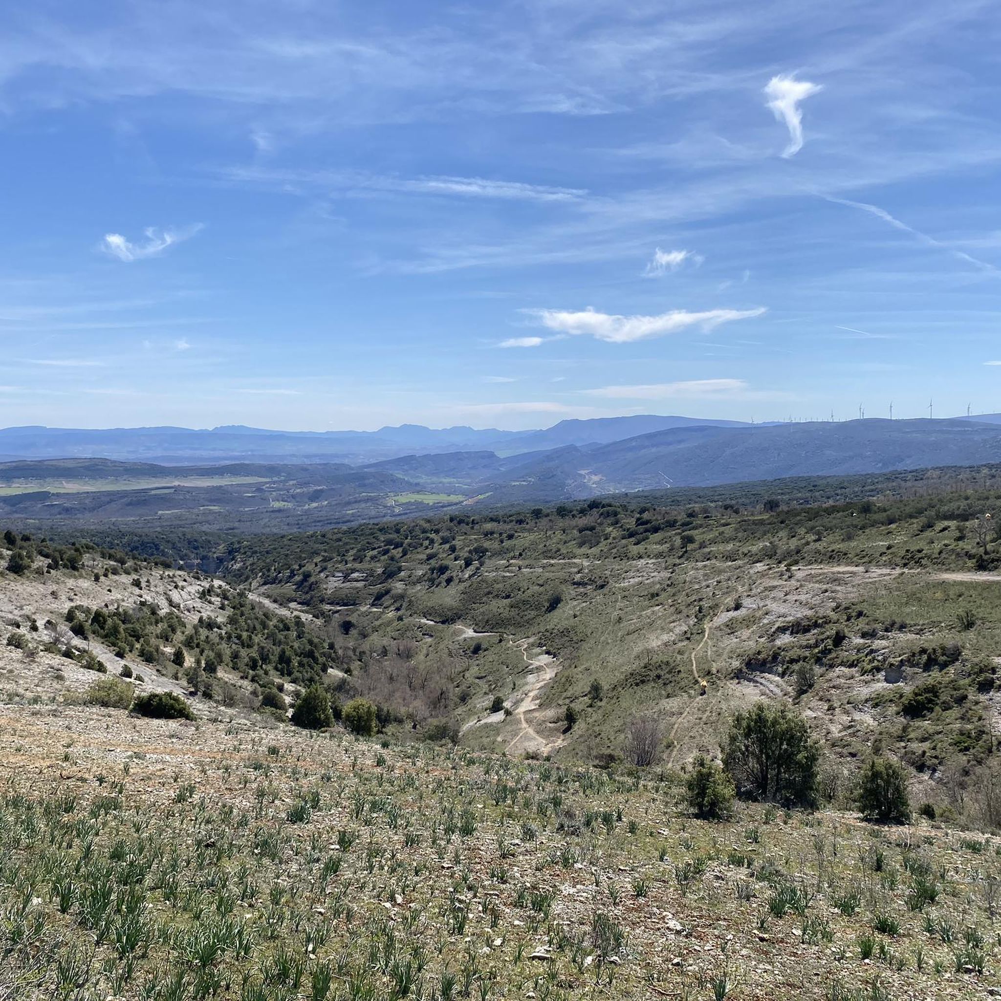
Running Trails around Valle De Valdebezana


Tips from the Community

carry water, but go to a village to the fountain and if possible don't go on a very sunny day...
0
0

Ideal for taking a dip on hot days!
1
0

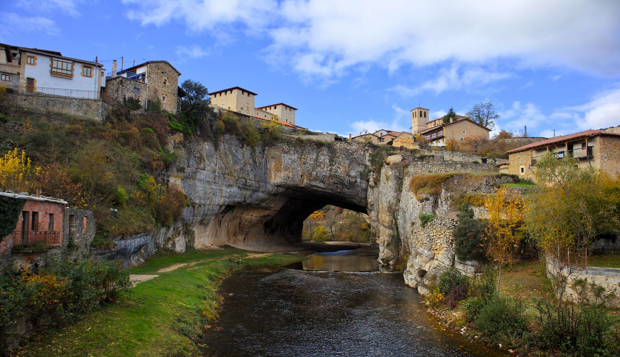
This is the best-known image of the famous town of Puentedey.
1
0
In my opinion, it is not the best viewpoint in the town. The best thing is to wander around it and go under the rocky bridge.
2
0

Very well equipped but poorly maintained area. Drinking water, showers (outdoors), washing facilities, toilets… but eaten up by weeds. It has tables and shade.
0
0

Tried to get it going.... Greetings from Lukas 🤪
0
0

Stage 2. Villarcayo/Trespaderne 97 kilometers. 1,370 positive meters. In the old Villarcayo-Horna station there are many remains and curiosities of the railway heritage of the old Santander-Mediterranean line; an old machine parked next to the track, the water tanks, the platforms, the point changes and the buildings attached to the railway service dismantled in 1985. The Natural Trail continues through Cigüenza, with a new bridge over the Nela, and continues through a fantastic valley crossing the meanders of the Nela through Tubilla, Escanduso and Escaño to the curious railway station of Brizuela , which preserves some rails, the railway building and a pleasant grass “pavement” between the platforms. Puentedey is another attractive stop to go down to the bed of the Nela and see the impressive natural tunnel that the river bed has carved under the town. The old train track also passes through another tunnel under the town and continues through the spectacular canyon that the Nela River has carved at the foot of the Muelas de Dulla. In Quitanabaldo the track deviates along the Ruta de los Sentidos towards Soncillo to complete the stage following the Ebro Natural Path but still has to travel one of the emblematic sections of the Santander-Mediterranean Natural Path to the Tunnel of Engaña. At the Nela bridge, the Cidad Dosante detour leaves to the left, the main route crosses the imposing bridge, passes through the Pedrosa de Valdeporres station and goes up to the entrance of the Engaña Tunnel. The area is a forest jungle of birch, oak, beech, maple, hazel and bushes of all kinds in a place steeped in history. The construction of the tunnel in the bowels of the Cantabrian Mountains was essential to complete the railway line; it took 17 years and hundreds of workers, most of them political prisoners, to drill the seven kilometers of gallery between Burgos and Cantabria, a work that had never been It was used for the passage of trains, however it was used for several decades to exchange goods between the two slopes of the mountain range by private vehicles, until landslides in the interior complicated transit and it was permanently closed. The traveling cycle route returns along the same path to Quintanabaldo and deviates from the Santander-Mediterranean Natural Path along the Route of the Senses GR-85. From this point on, the technical level for gravel bikes increases, there are sections with uneven surfaces, high slopes, narrow paths and several points in the Ebro canyon where it is necessary to load the bike to cross some walkways. In reality, everything is cyclable except for the walkways, which are easy to navigate in a few minutes on foot, and it is worth it to travel a fantastic stretch of the Ebro Natural Trail through the Manzanedo and Valdivieso valleys. The GR-85 goes up from Quintabaldo along a fairly steep track to the town of Villabáscones de Bezana, a gem of popular architecture hidden in the Pisas beech forest. In the town you have to continue along the road to Soncillo, a good place to regain strength after the climb from the Nela valley. The gravel trip continues along the Alto de la Hoya road and begins an enjoyable descent through the towns of the Trifón River valley, all asphalt, without traffic, between mountains sculpted by a capricious and suggestive nature. In Lándraves there are signs of the Palancas Gorge, one of the natural wonders of the area. The Route of the Senses passes through the canyon but on gravel it is not recommended. The descent continues through Cueva de Manzanedo and finally reaches the bank of the Ebro in Manzanedo, connecting with the Ebro Natural Trail. The route changes banks and continues for about ten kilometers along technical and entertaining trails surrounding livestock meadows and private farms. Cyclability is one hundred percent with patience and skill on this type of narrow and bumpy paths, a complication can be mud during times of heavy rain. The alternative would be to continue along the road to Incinillas and then along the N-232 to Puente del Aire.
1
0
Frequently Asked Questions
How many gravel bike trails are available in Valle De Valdebezana?
There are 4 curated gravel bike routes around Valle De Valdebezana. These routes offer a range of experiences, from moderate to difficult, allowing you to explore the diverse landscapes of the region.
What kind of terrain can I expect on gravel bike trails in Valle De Valdebezana?
Valle De Valdebezana offers a varied topography ideal for gravel biking. You'll encounter dense beech and oak forests, fertile river valleys, and mountainous areas. Routes often follow paths and tracks suitable for gravel bikes, ranging from compact dirt to stony tracks, including forest roads and fire breaks. The region's proximity to Cantabria also influences its diverse natural features.
Are there any challenging gravel bike routes in the area?
Yes, for those seeking a challenge, the region offers routes like the Comarca of Las Merindades in gravel. This route is classified as difficult, covering over 83 km with significant elevation gain, providing a demanding yet rewarding experience through the landscape.
What are some scenic natural features or landmarks I can see while gravel biking?
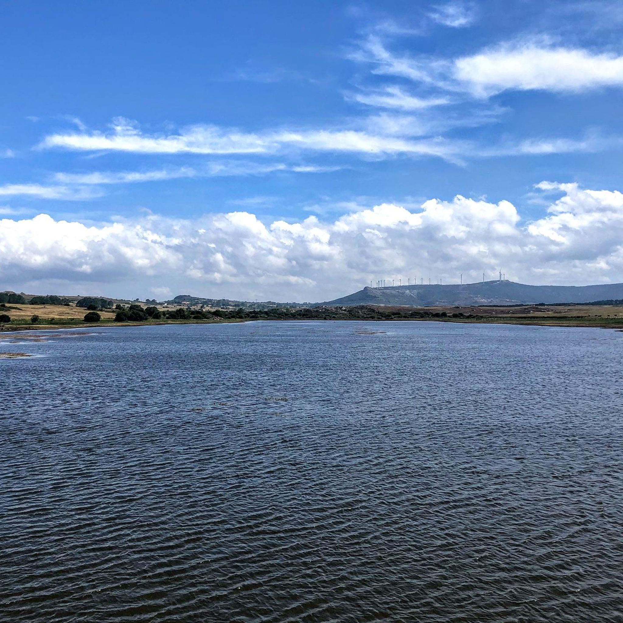
The region is rich in natural beauty. You can ride alongside the expansive Ebro Reservoir, often called an 'interior freshwater sea,' or explore routes near dramatic geological formations like the Desfiladero de Las Palancas (Las Palancas Gorge) and the magical beech forest surrounding the Salto de Las Pisas (Las Pisas Waterfall). Additionally, the Natural Rock Arch of Puentedey is a notable landmark you might encounter on some routes.
Are there any family-friendly gravel trails in Valle De Valdebezana?
While specific 'family-friendly' designations are not always explicit for gravel routes, the region's varied terrain includes paths suitable for different skill levels. Routes with moderate difficulty, such as the Natural Rock Arch of Puentedey – Puentedey loop from Pedrosa, which covers around 40 km with moderate elevation, could be suitable for families with some gravel biking experience.
What is the best time of year for gravel biking in Valle De Valdebezana?
The diverse forests and river systems suggest pleasant riding conditions during spring and autumn when temperatures are milder and the foliage is vibrant. Summer can also be suitable, especially in shaded forest areas, but it's always advisable to check local weather conditions. The region's natural beauty makes it appealing across multiple seasons.
Are there any circular gravel bike routes available?
Yes, many of the gravel routes in Valle De Valdebezana are designed as loops. For example, the Natural Rock Arch of Puentedey – Puentedey loop from Pedrosa and the Quisicedo – Natural Rock Arch of Puentedey loop from Pedrosa are excellent circular options, allowing you to start and finish at the same point.
What can I expect regarding parking or public transport access for these trails?
While specific parking details for each trail are not provided, the presence of traditional villages and less-trafficked roads suggests that parking might be available in or near starting points of routes. Public transport options are generally limited in rural areas like Valle De Valdebezana, so planning your journey by car is often the most practical approach for accessing trailheads.
Are there any waterfalls or caves to explore near the gravel trails?
Absolutely. The region is known for its natural wonders. You can find the spectacular Salto de Las Pisas (Las Pisas Waterfall) within a magical beech forest. For caves, the Hermitage of San Bernabé of Ojo Guareña and the San Tirso and San Bernabé Caves are notable attractions in the vicinity, offering a chance to explore underground formations.
What do other gravel bikers enjoy most about gravel biking in Valle De Valdebezana?
The area is highly rated by the komoot community, with an average score of 1.0 stars (based on limited reviews). Riders often praise the region's diverse landscapes, the tranquility of its forests, and the opportunity to connect deeply with nature away from heavy traffic. The blend of challenging terrain and breathtaking views is a recurring highlight.
Are there any routes that pass by historical or cultural points of interest?
Yes, some routes offer glimpses of the region's heritage. For instance, the La Robla Train Bridge – View of the Robla Train Bridge loop from Arija takes you past a significant piece of local history, offering both natural beauty and a touch of cultural interest.
Most popular routes around Valle De Valdebezana
Most popular attractions around Valle De Valdebezana

Get inspired with the komoot mobile app


Explore more
Browse the best Gravel rides in other regions.
