The best gravel rides around Baños De La Encina
22
riders
6
rides
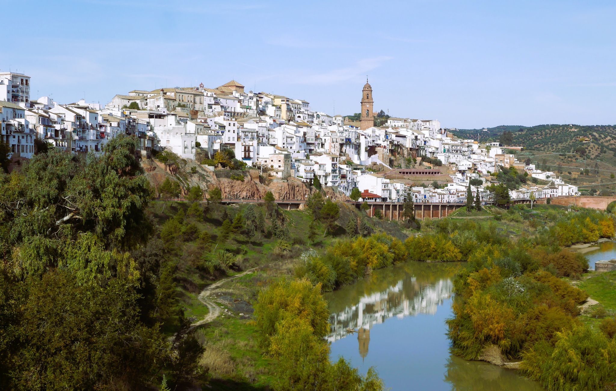
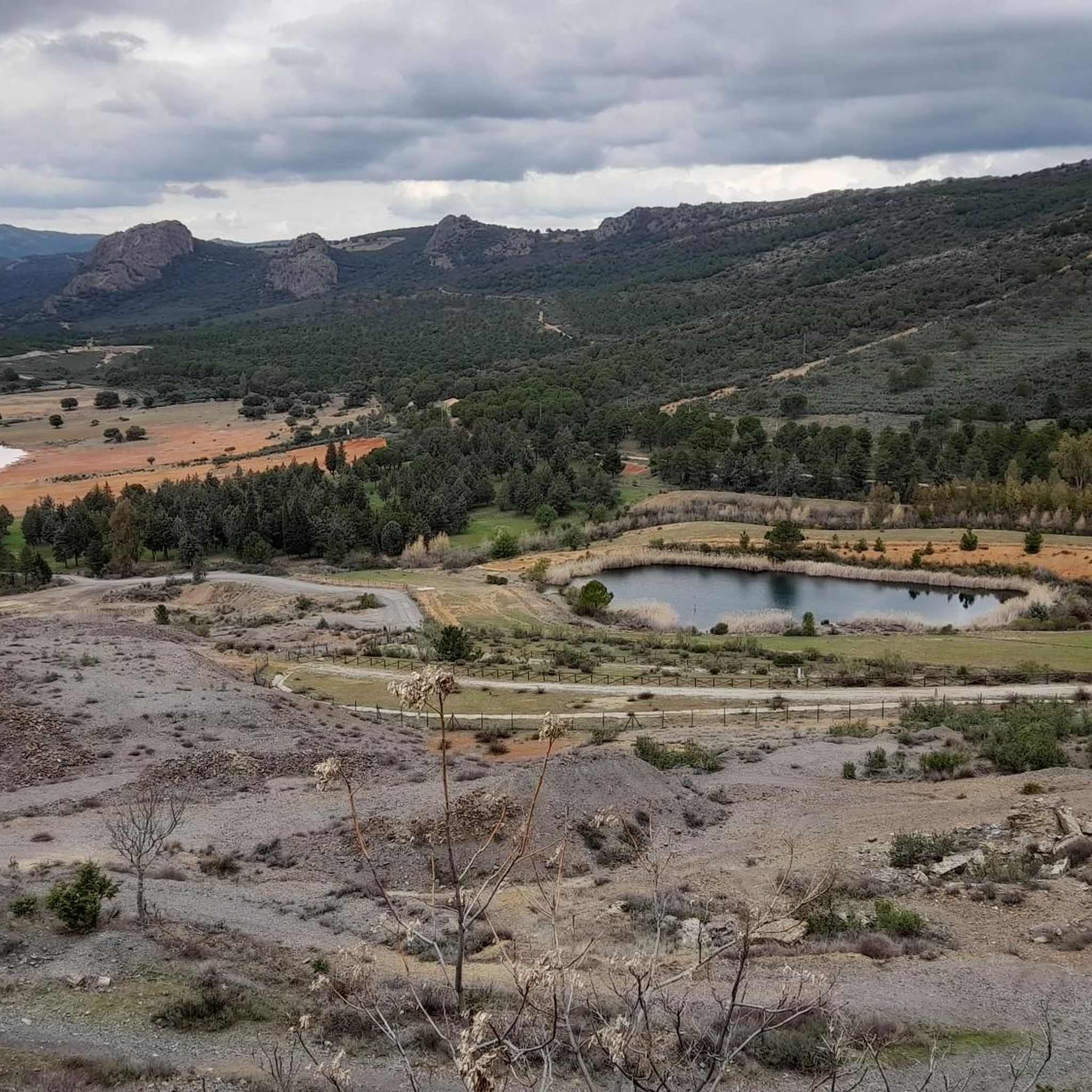
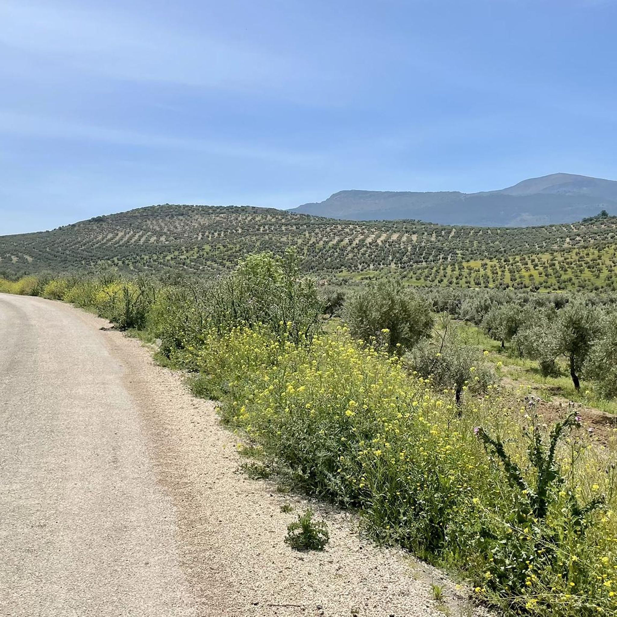
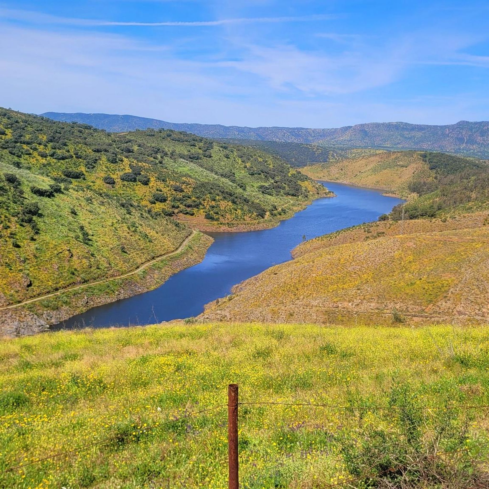
Gravel biking around Baños De La Encina offers routes through a landscape characterized by rolling hills, rural tracks, and areas surrounding reservoirs. The region features varied terrain, from open agricultural lands to more secluded paths near water sources. These routes often include sections with moderate elevation changes, providing a diverse experience for gravel cyclists. The area's natural features contribute to a network of trails suitable for exploring the Jaén province.
Best gravel bike trails around Baños De La Encina
- The…
Last updated: July 3, 2026
4
riders
50.6km
03:33
740m
740m
Hard gravel ride. Very good fitness required. Mostly paved surfaces. Suitable for all skill levels.
5
riders
41.8km
03:02
440m
440m
Moderate gravel ride. Good fitness required. Mostly paved surfaces. Suitable for all skill levels.

Sign up for free
4
riders
78.3km
05:04
1,050m
1,050m
Hard gravel ride. Very good fitness required. Mostly paved surfaces. Suitable for all skill levels.
4
riders
Moderate gravel ride. Good fitness required. Mostly paved surfaces. Suitable for all skill levels.
2
riders
25.9km
01:42
210m
210m
Moderate gravel ride. Good fitness required. Mostly paved surfaces. Suitable for all skill levels.
Our route recommendations are based on thousands of hikes, rides, and runs completed by other people on komoot.
Start today with a free account
Your next adventure awaits.
Login or Signup
Other adventures around Baños De La Encina

Tips from the Community

The Sanctuary of the Virgin of Linarejos is the main center of Marian devotion in Linares (Jaén), dedicated to its patron saint, the Virgin of Linarejos, honorary and perpetual mayor of the city. Tradition tells us that the Virgin appeared to the shepherd Juan Jiménez in 1227, although more recent research places the event in 1236.
4
0
Linares has Iberian roots, with the city of Cástulo as its original center, capital of Oretania. It was first mentioned as such in 1155, during the reign of Alfonso VII. In the 19th century, it experienced its greatest boom thanks to lead mining, becoming a key industrial center in Spain. In 1875, Alfonso XII granted it the title of city. In the 20th century, the automotive industry took center stage with Santana Motor, which manufactured the famous Land Rover Santana.
3
0
The Land Rover Santana Monument in Linares pays tribute to one of the city's most important industrial symbols: the all-terrain vehicle manufactured by Santana Motor, a company that operated between 1956 and 2011.
3
0
The Linares Bullring, also known as the Coso de Santa Margarita, is one of the city's most iconic sites, both for its architecture and its bullfighting history. It was built in 1866 and inaugurated in 1867 with a bullfight featuring bulls from the Miura ranch.
4
0

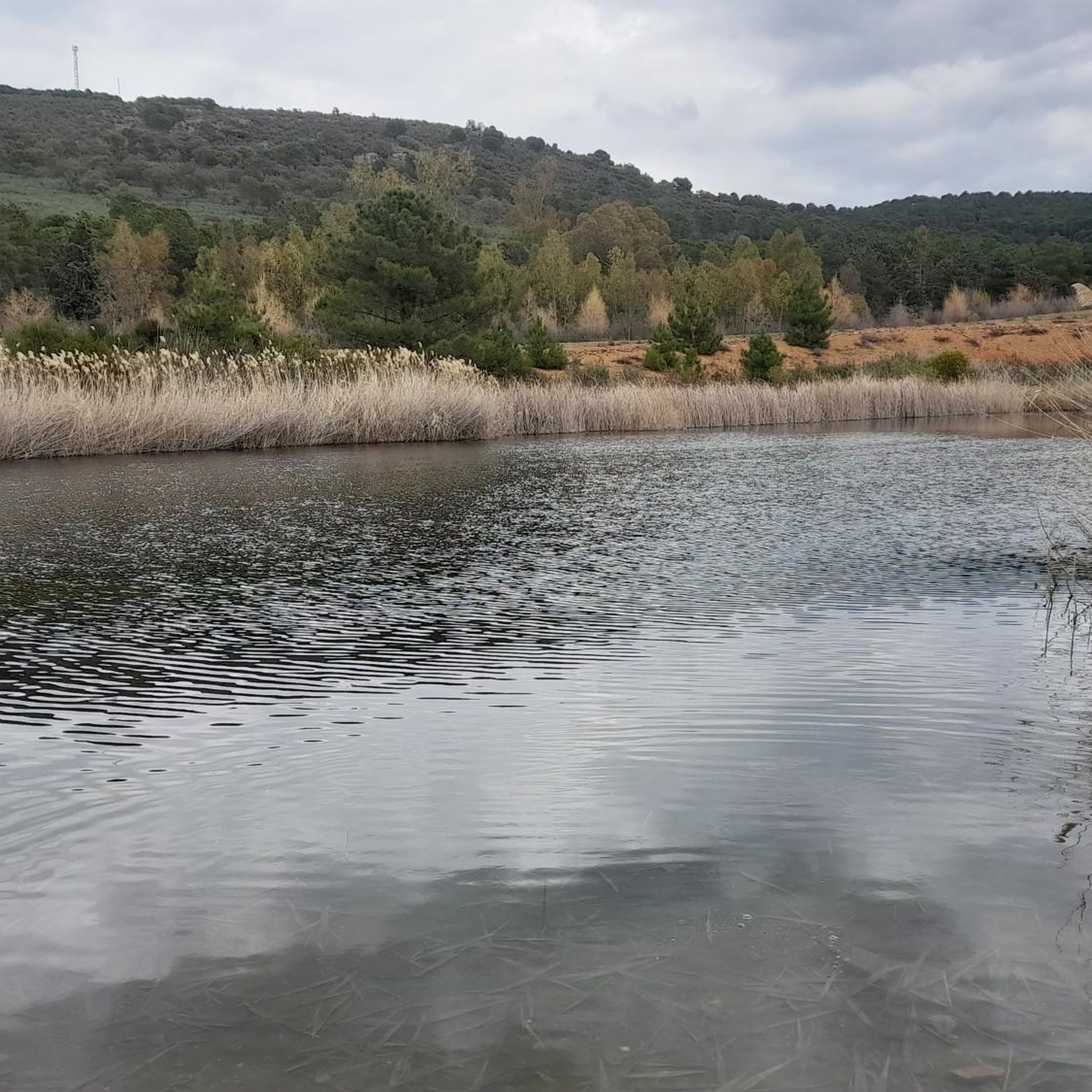
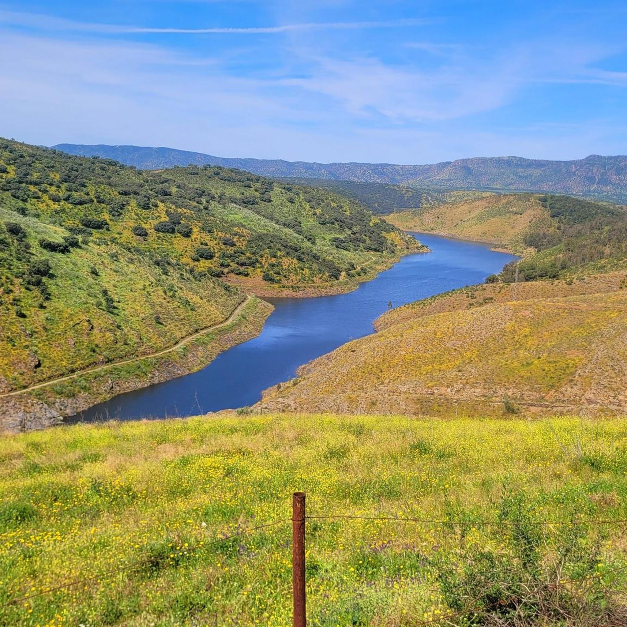
The Rumblar Reservoir Dam is located on the Rumblar River, in the municipality of Baños de la Encina. Built in 1941, this gravity-type dam is made of masonry and concrete. It has a height of 64.9 meters and a crest length of 220 meters. The reservoir's natural environment is listed as a Site of Community Interest, notable for its biodiversity and the presence of species such as the Iberian lynx, the black stork, and various birds of prey. Furthermore, on one of its banks is Tamujoso Beach, a popular area for sports activities such as canoeing and sailing.
2
0

In Miranda del Rey there are no shops or bars, but there is a small public fountain where you can fill your water bottles.
0
0
Miranda del Rey is a small town near Santa Elena and is the “gate” of the old route through the Despeñaperros pass. It contains a public fountain to refill water.
1
0
Frequently Asked Questions
What is the general difficulty level of gravel biking trails around Baños De La Encina?
The gravel biking trails around Baños De La Encina are generally considered moderate to difficult. Out of the 6 routes listed, 2 are moderate and 4 are difficult, featuring significant elevation changes and varied terrain. There are no easy routes in this selection.
Are there any beginner-friendly gravel bike routes in the area?
While there are no routes specifically classified as 'easy' in this guide, the most accessible options are the moderate trails. For example, the Palm Tree Promenade – Bailén Town Hall loop from Bailén is a moderate 25.9 km route with 212 m of elevation gain, offering a good introduction to the region's gravel paths.
What are some of the more challenging gravel bike routes around Baños De La Encina?
For experienced gravel bikers seeking a challenge, the Water source – Rumblar Reservoir Dam loop from Aparcamiento Andamur stands out. This difficult route covers 81.6 km with over 1100 m of elevation gain, traversing reservoir areas and demanding good fitness. Another difficult option is the Rumblar Reservoir Dam – Water source loop from Bailén, which is 50.6 km long with 736 m of ascent.
What are the longest gravel bike routes available?
The longest gravel bike route in the area is the Water source – Rumblar Reservoir Dam loop from Aparcamiento Andamur, spanning 81.6 km. Another substantial option is the Rumblar Reservoir Dam – Water source loop from Bailén, which is 50.6 km long.
Are the gravel bike routes typically circular or point-to-point?
Most of the gravel bike routes featured in this guide are circular loops, designed to bring you back to your starting point. This includes popular options like the Water source – Rumblar Reservoir Dam loop from Aparcamiento Andamur and the Roman Bridge in Despeñaperros – La Aliseda Recreation Area loop from La Carolina.
What kind of natural attractions can I expect to see along the gravel bike trails?
Many routes offer views of the Rumblar Reservoir, such as the Rumblar Reservoir Dam – Water source loop from Bailén. You can also find highlights like the Rumblar Reservoir Dam itself, and various viewpoints offering panoramic vistas of the water and surrounding landscape.
Are there any historical landmarks or points of interest near the gravel routes?
Yes, the region is rich in history. The Roman Bridge in Despeñaperros – La Aliseda Recreation Area loop from La Carolina passes by historical points. Other notable landmarks in the wider area include the Peñalosa Archaeological Site and the impressive Castle of Baños de la Encina (Burgalimar Castle), which is a significant local attraction.
When is the best season for gravel biking in Baños De La Encina?
The best seasons for gravel biking in Baños De La Encina are typically spring and autumn. During these months, temperatures are milder, making for more comfortable riding conditions. Summers can be very hot, and winters, while generally mild, can bring cooler, wetter weather.
Are there opportunities for wild swimming near the gravel bike routes?
Given the presence of the Rumblar Reservoir, there are potential spots for wild swimming. The Rumblar Reservoir Dam is a prominent feature, and areas around the reservoir might offer opportunities for a refreshing dip. Always check local regulations and safety conditions before swimming in natural waters.
Where can I typically start or park for these gravel bike trails?
Starting points for these routes often include towns like Bailén and La Carolina, or specific parking areas. For instance, the Water source – Rumblar Reservoir Dam loop starts from Aparcamiento Andamur. Routes originating from towns like Bailén, such as the Plaza de Toros de Linares – Chimney of the Cruz loop from Bailén, usually have parking available within the town.
What kind of terrain should I expect on the gravel bike trails?
The terrain around Baños De La Encina is characterized by rolling hills, rural tracks, and paths adjacent to reservoirs. You'll encounter a mix of open agricultural lands and more secluded sections, often with moderate to significant elevation changes. Expect gravel, dirt, and some paved sections.
Are there any facilities or recreation areas along the routes?
Yes, some routes pass by designated recreation areas. For example, the Roman Bridge in Despeñaperros – La Aliseda Recreation Area loop from La Carolina includes the La Aliseda Recreation Area, which may offer amenities like picnic spots or rest areas.
Most popular routes around Baños De La Encina
Most popular attractions around Baños De La Encina

Get inspired with the komoot mobile app


Explore more
Browse the best Gravel rides in other regions.
