The best road cycling routes around Fuentepelayo
27
riders
5
rides
Road cycling around Fuentepelayo features diverse terrain, encompassing open plains and areas influenced by the nearby Sierra de Guadarrama. This provides varied elevation profiles, from gentle gradients across flatlands to more challenging ascents. The region's geographical position in the province of Segovia offers access to both expansive views and undulating landscapes. Many routes feature mostly well-paved surfaces suitable for road bikes.
Best road cycling routes around Fuentepelayo
- The most popular road cycling route is Fuentepelayo, Sanchonuño y San Martín y…
Last updated: July 3, 2026
1
riders
Moderate road ride. Good fitness required. Mostly well-paved surfaces and easy to ride.
11
riders
51.1km
02:14
340m
340m
Moderate road ride. Good fitness required. Some segments of this route may be unpaved and difficult to ride.

Sign up for free
7
riders
67.0km
03:05
540m
540m
Moderate road ride. Good fitness required. Some segments of this route may be unpaved and difficult to ride.
6
riders
40.1km
01:32
100m
100m
Easy road ride. Great for any fitness level. Mostly well-paved surfaces and easy to ride.
2
riders
130km
05:46
1,210m
1,210m
Hard road ride. Very good fitness required. Some segments of this route may be unpaved and difficult to ride.
Our route recommendations are based on thousands of hikes, rides, and runs completed by other people on komoot.
Start today with a free account
Your next adventure awaits.
Login or Signup
Popular around Fuentepelayo
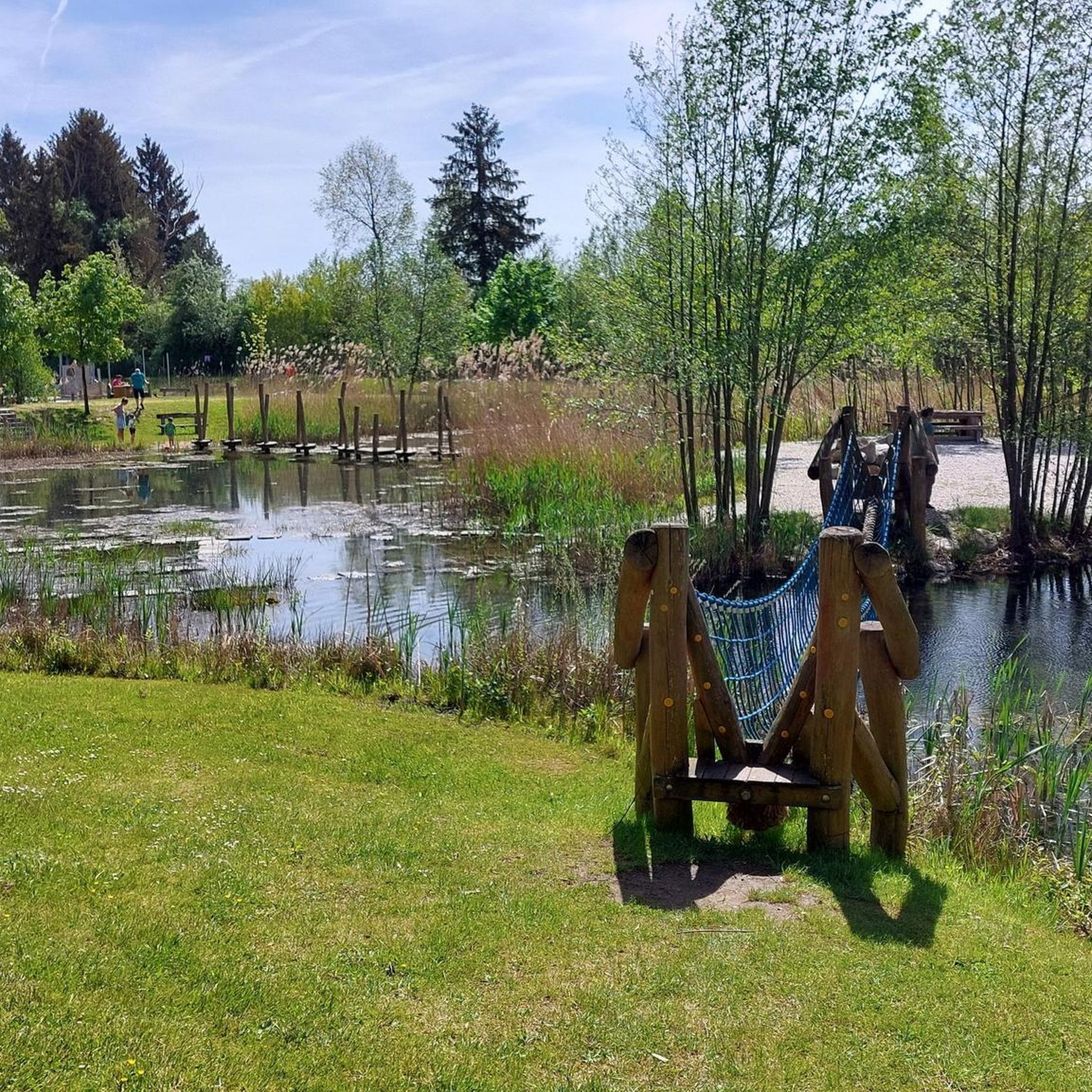
Tips from the Community

Carbonero el Mayor is a municipality and Spanish town in the province of Segovia, in the southern part of the autonomous community of Castilla y León. It appears cited in 1247 under the name Carbonero de Liedos; In 1587 it was mentioned as Carbonero la Mayor and in the 19th century it already appeared with its current name.
4
0

As you approach the historic town of Sepúlveda, the spectacular views of the Hoces del Duratón are revealed in their magnificent splendor. Like dominant towers, the rock formations of the surrounding cliffs are a powerful sight.
0
0

It is the ideal place to stop to rest and enjoy the views of the Castle, the square is full of bars and restaurants.
1
0

Beautiful castle that is located at the top of the town of Turégano and that is impressive. It has the shape of a movie castle and some of its walls have been restored.
0
1
Carbonero el Mayor is a town located north of the city of Segovia, in the middle of the plain that goes from the Central System and the great plains of Valladolid.
1
0

From this point we have a beautiful view of the Constanzana Bridge that allows us to cross the Eresma river. A good place to rest and recover energy and why not? take a nice picture.
1
0
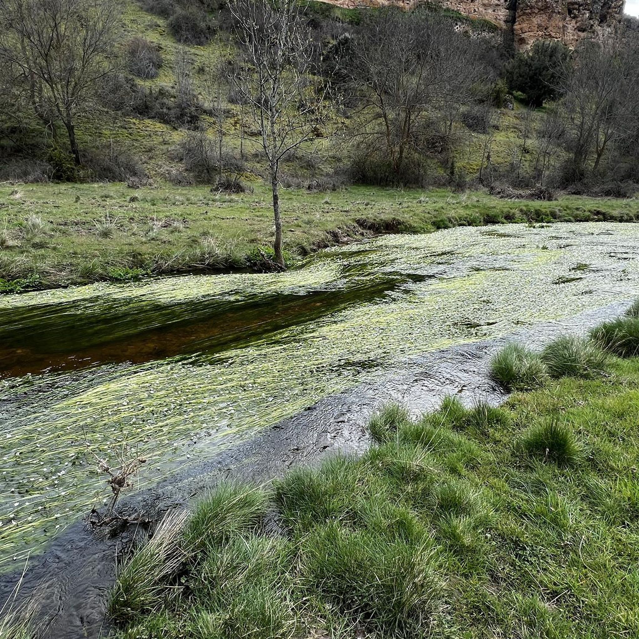
Beautiful picture that we find in the valley of the San Juan river near the town of Castroserna de Abajo.
1
0
Small town located in what is called Tierra de Pinares, where both towns, separated by a few meters, are part of the same town.
0
0
Frequently Asked Questions
How many road cycling routes are available around Fuentepelayo?
There are 5 road cycling routes around Fuentepelayo listed on komoot. These routes offer a variety of experiences, from easy loops to more challenging long-distance rides.
What kind of terrain can I expect when road cycling near Fuentepelayo?
The region around Fuentepelayo offers a diverse landscape for road cycling. You'll find a mix of open plains and the influence of nearby mountain chains like the Sierra de Guadarrama. This provides varied elevation profiles, from gentler rides across flatlands to more undulating terrain, often on mostly well-paved surfaces.
Are there any easy road cycling routes suitable for beginners or families?
Yes, for an easier ride, consider the Fuentepelayo loop from Fuentepelayo. This route is approximately 40 km long with minimal elevation gain, making it a great option for those looking for a less strenuous cycling experience.
What is the most challenging road cycling route in the Fuentepelayo area?
The most challenging route is the Turégano Castle – Sepúlveda loop from Zarzuela del Pinar. This difficult route spans nearly 130 km and features over 1200 meters of elevation gain, offering a significant test for experienced cyclists.
Are there any circular road cycling routes starting near Fuentepelayo?
Yes, several routes are designed as loops. For example, the Fuentepelayo, Sanchonuño y San Martín y Mudrián — circular desde Carbonero el Mayor offers a moderate 88.5 km circular ride, allowing you to start and finish in the same location.
What are some points of interest or natural attractions I might see along the routes?
While Fuentepelayo itself is a small municipality, its location within the Segovia province means routes can connect local villages and offer views of the expansive plains. The broader region is known for natural spaces like the Sierra Norte de Guadarrama Natural Park, and some routes, like the Turégano Castle loop, pass by historical landmarks such as Turégano Castle.
When is the best time of year to go road cycling in Fuentepelayo?
The best time for road cycling in Fuentepelayo is generally during spring and autumn when temperatures are milder and the weather is more stable. Summer can be quite hot, especially in the open plains, while winter might bring colder temperatures and a higher chance of precipitation, though some well-prepared cyclists may still enjoy it.
Are there any moderate-difficulty road cycling routes available?
Yes, the majority of routes in the area are of moderate difficulty. Options include the Roadbike loop from Mozoncillo (51 km) or the Carbonero el Mayor – Puente de Constanzana loop from Mozoncillo (67 km), both offering a good balance of distance and elevation.
Is parking available at the starting points of these road cycling routes?
While specific parking information for each trailhead isn't detailed, routes often start from towns or villages like Fuentepelayo, Mozoncillo, Carbonero el Mayor, or Zarzuela del Pinar. You can typically find public parking in these local communities, though it's advisable to check local regulations upon arrival.
Can I reach Fuentepelayo or the route starting points by public transport?
Fuentepelayo is a small town in the province of Segovia. While there might be limited local bus services connecting it to larger towns in the Segovia province, direct public transport options specifically catering to cyclists with bikes might be scarce. It's generally recommended to travel by car to the starting points of these routes for convenience.
What are the typical distances of road cycling routes around Fuentepelayo?
The road cycling routes around Fuentepelayo vary significantly in length. You can find shorter rides, such as the 40 km easy loop from Fuentepelayo, up to much longer and more challenging routes like the 130 km Turégano Castle – Sepúlveda loop. Most routes fall in the 50-90 km range, offering diverse options for different fitness levels.
Most popular routes around Fuentepelayo

Get inspired with the komoot mobile app


Explore more
Browse the best Road cycling routes in other regions.
