The best gravel rides around Lic-Rio Camesa
5.0
(1)
32
riders
7
rides
Gravel biking around Lic-Rio Camesa offers diverse terrain, transitioning from gentle hills towards the Castilian plain. The region is characterized by well-preserved riparian environments along the Camesa River, alongside oak forests and heathlands. Riders can expect routes that combine compacted dirt tracks, rural trails, and low-traffic secondary roads, providing varied surfaces and gradients. This protected area in Valdeolea, Cantabria, features landscapes suitable for engaging gravel biking experiences.
Best gravel bike trails around Lic-Rio Camesa
- The most popular gravel bike trail…
Last updated: July 14, 2026
5.0
(1)
11
riders
72.3km
05:20
1,010m
1,010m
Hard gravel ride. Very good fitness required. Mostly paved surfaces. Suitable for all skill levels.
6
riders
Hard gravel ride. Very good fitness required. Mostly paved surfaces. Suitable for all skill levels.

Sign up for free
2
riders
45.6km
03:27
840m
840m
Hard gravel ride. Very good fitness required. Mostly paved surfaces. Suitable for all skill levels.
3
riders
Hard gravel ride. Very good fitness required. You may need to push your bike for some segments of this route.
2
riders
Hard gravel ride. Very good fitness required. You may need to push your bike for some segments of this route.
2
riders
30.8km
02:15
220m
220m
Hard gravel ride. Good fitness required. You may need to push your bike for some segments of this route.
1
riders
37.1km
02:41
660m
660m
Hard gravel ride. Very good fitness required. Mostly paved surfaces. Suitable for all skill levels.
2
riders
31.2km
02:05
340m
340m
Hard gravel ride. Good fitness required. You may need to push your bike for some segments of this route.
1
riders
Hard gravel ride. Very good fitness required. Mostly paved surfaces. Suitable for all skill levels.
2
riders
57.8km
04:00
800m
800m
Hard gravel ride. Very good fitness required. Mostly paved surfaces. Suitable for all skill levels.
Our route recommendations are based on thousands of hikes, rides, and runs completed by other people on komoot.
Start today with a free account
Your next adventure awaits.
Login or Signup
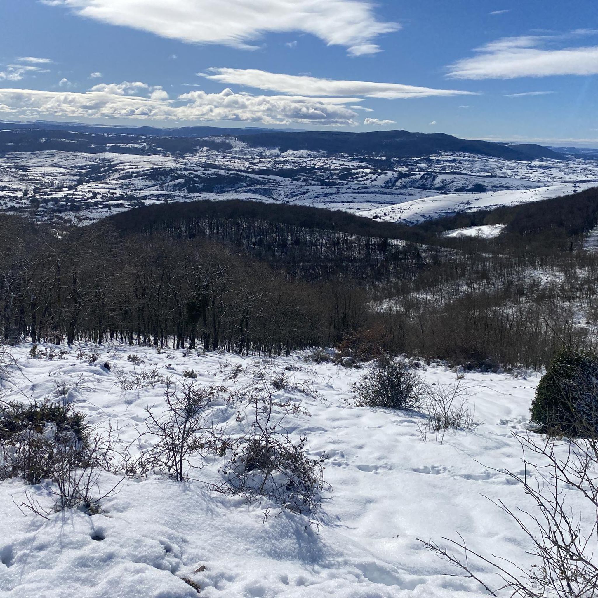
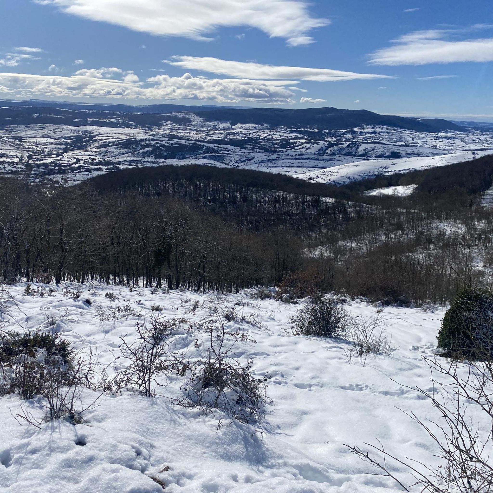
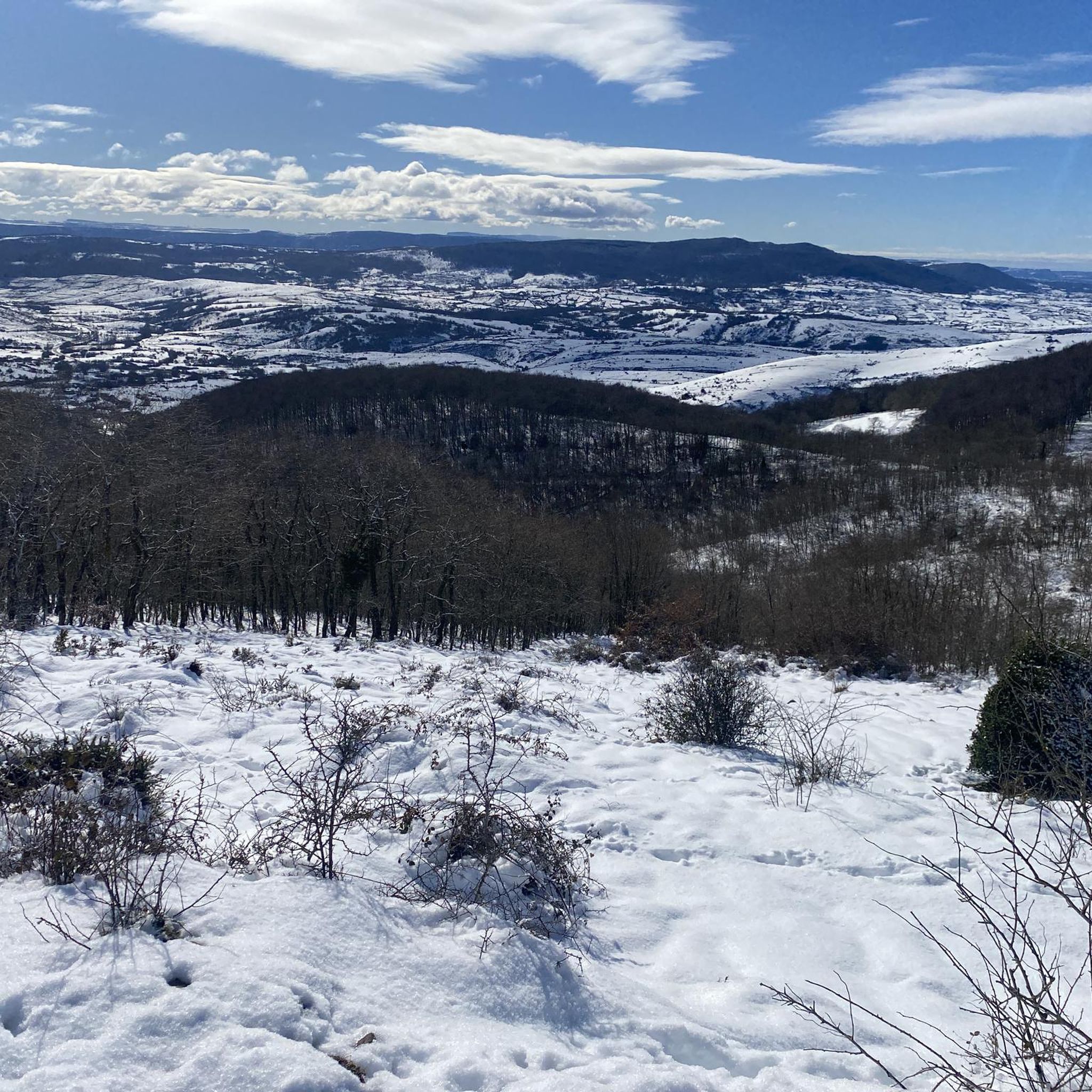
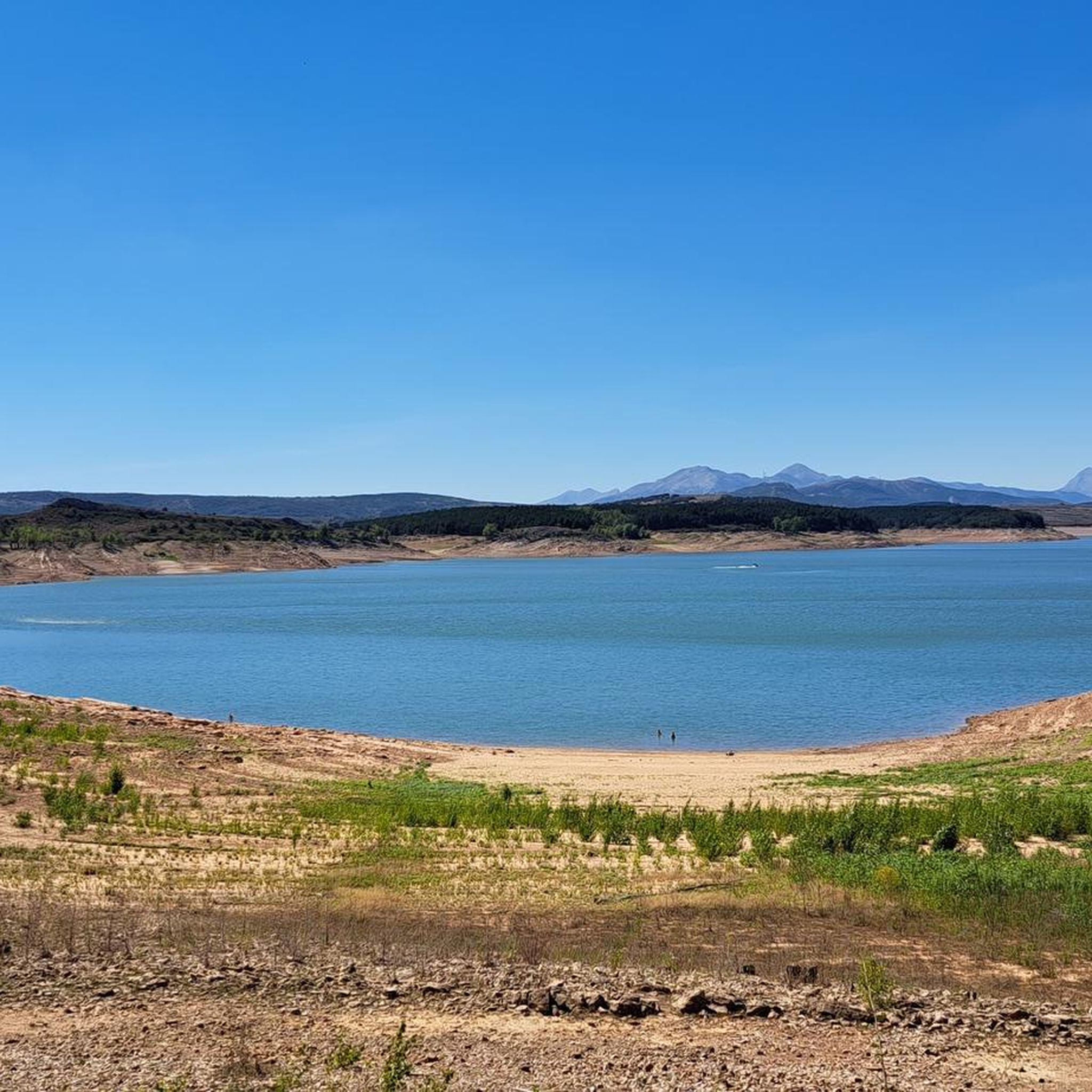
Tips from the Community

It is a small bridge that crosses the waters of the Rubagón river. On one side there is a clearing with information panels. A perfect spot for a short stop on your route.
0
0


In the Plaza de España, the nerve centre of the town.
1
0
The amount of water this river carries is always surprising.
1
0

Puente Mayor over the Pisuerga River is of medieval origin. We can see the small islands in the river and the castle hill.
2
0

The next town is Vallespinoso de Aguilar. The hermitage of Santa Cecilia, immediately standing out on a castle hill, is dated to the 12th century and was declared a historical-artistic monument in 1951. The portico has well-carved capitals and the location conveys the atmosphere of a fortress sanctuary.
0
0

The Church of the Assumption, located in Barrio de Santa María, is an outstanding example of the Romanesque in the Palencia Mountain. Built in the 16th century on the remains of a 12th-century Romanesque church, it preserves elements such as the apse and the nave of the Gospel.
2
0
Nice railway bridge that crosses the Pisuerga river on the outskirts of Salinas de Pisuerga.
1
0
Frequently Asked Questions
What kind of terrain can I expect on gravel bike trails around Lic-Rio Camesa?
The region offers a diverse mix of terrain, ideal for gravel biking. You'll encounter compacted dirt tracks, rural trails, and low-traffic secondary roads. The landscape transitions from gentle hills towards the Castilian plain, with routes often following old local paths between villages and former cereal fields now used as pastures. Expect varied surfaces and gradients, including some demanding climbs in areas like the Palentina Mountains.
Are there any challenging gravel bike routes in the Lic-Rio Camesa area?
Yes, the Lic-Rio Camesa area is known for its challenging gravel routes with significant elevation gains. For example, the Salinas de Pisuerga Bridge – Aguilar Reservoir loop from Aguilar de Campoo is a difficult 49.5 km route exploring picturesque landscapes. Another demanding option is the Historic Center of Reinosa – Cruz de Fuentes loop from Reinosa, a 45.6 km path that explores historical mining areas.
What natural features can I see while gravel biking along the Río Camesa?
The Río Camesa is a highlight of the region, featuring well-preserved riparian environments with high water quality. You might spot wildlife like otters and crayfish. The riverbanks are adorned with willows and poplars, and the surrounding landscape includes oak forests (robledales) and heathlands (brezales). A unique ecological feature is the small population of yellow water lilies found in Mataporquera, exclusive to Cantabria.
Are there any long-distance gravel routes available in the Lic-Rio Camesa region?
Yes, there are several longer routes for those seeking extended rides. The Hermitage of Santa Cecilia – Ermita de Santa Cecilia loop from El Cierzo covers 65.1 km, leading through varied terrain. Another substantial option is the Ermita de Santa Cecilia – Salinas de Pisuerga Bridge loop from Aguilar de Campoo, which is 57.2 km long.
What cultural or historical points of interest can I find along the gravel bike routes?
Many routes pass through charming villages such as La Loma, Santa Olalla, or Espinosa, offering glimpses into traditional rural life with popular stone architecture. You can also find historical elements like old bridges and Romanesque architecture in nearby towns like Aguilar de Campoo, adding a rich cultural dimension to your ride.
Is the Lic-Rio Camesa area suitable for beginner gravel bikers?
While the guide highlights several difficult routes, the region's diverse terrain, with its mix of compacted dirt tracks and rural trails, suggests that easier sections or shorter loops might be found. However, the featured routes are generally described as difficult, so beginners should carefully review route profiles for elevation and distance to find suitable options or consider shorter, less strenuous sections of longer trails.
What is the best time of year for gravel biking in Lic-Rio Camesa?
The region's climate generally supports outdoor activities for much of the year. Spring and autumn typically offer pleasant temperatures and vibrant landscapes, making them ideal for gravel biking. Summer can be warm, especially in open areas, while winter might bring colder temperatures and potentially snow in higher elevations, which could affect trail conditions.
Are there any circular gravel bike routes in the Lic-Rio Camesa area?
Yes, many of the gravel biking opportunities in the region are designed as loops, allowing you to start and end in the same location. Examples include the Salinas de Pisuerga Bridge – Aguilar Reservoir loop from Aguilar de Campoo and the Hermitage of Santa Cecilia – Ermita de Santa Cecilia loop from El Cierzo.
Where can I find parking for gravel biking trails in Valdeolea or Aguilar de Campoo?
While specific parking locations are not detailed for each route, Valdeolea and Aguilar de Campoo are key towns in the area. It's generally advisable to look for public parking areas within these towns or near trailheads. Many routes start from or pass through villages, often providing convenient access points for parking.
What makes the Lic-Rio Camesa region unique for gravel biking?
The Lic-Rio Camesa region stands out due to its unique ecological significance as the only river in Cantabria that flows into the Duero basin. This creates a distinct natural environment with well-preserved riparian areas. The varied landscape, transitioning from gentle hills to the Castilian plain, combined with a network of compacted dirt tracks and rural trails, offers an engaging and immersive gravel biking experience that connects riders with both nature and local cultural heritage.
Can I combine gravel biking with exploring nearby towns like Aguilar de Campoo?
Absolutely. Many gravel routes in the area are designed to pass through or start near charming villages and towns. Aguilar de Campoo, for instance, is a notable town with Romanesque architecture and cultural points of interest, making it an excellent base or a destination to explore before or after your ride. The Salinas de Pisuerga Bridge – Aguilar Reservoir loop, for example, starts from Aguilar de Campoo.
Most popular routes around Lic-Rio Camesa

Get inspired with the komoot mobile app


Explore more
Browse the best Gravel rides in other regions.
