The best gravel rides around Luzillat
4.5
(2)
39
riders
14
rides
Gravel biking around Luzillat offers diverse terrain within the Puy-de-Dôme department of central France. The region is characterized by the agricultural Limagne plain and proximity to the Allier River, providing varied landscapes for cycling. Elevations range from approximately 274 meters in the plains to 415 meters on local rises, indicating a mix of flat, rolling, and gently climbing paths. This rural setting, combined with the broader Puy-de-Dôme's volcanic features, creates a suitable environment for gravel bike trails.
Best gravel bike…
Last updated: October 11, 2026
4.7
(3)
17
riders
50.8km
03:03
180m
180m
Moderate gravel ride. Good fitness required. Mostly paved surfaces. Suitable for all skill levels.
6
riders
37.3km
02:20
110m
110m
Moderate gravel ride. Good fitness required. Mostly paved surfaces. Suitable for all skill levels.

4.0
(1)
3
riders
21.7km
01:38
140m
140m
Easy gravel ride. Great for any fitness level. Mostly paved surfaces. Suitable for all skill levels.
1
riders
55.2km
03:39
390m
390m
Moderate gravel ride. Good fitness required. Mostly paved surfaces. Suitable for all skill levels.
1
riders
40.3km
02:40
390m
390m
Moderate gravel ride. Good fitness required. Mostly paved surfaces. Suitable for all skill levels.
Get access to more routes and recommendations from other explorers.
Already have an account?
Our route recommendations are based on thousands of hikes, rides, and runs completed by other people on komoot.
Start today with a free account
Your next adventure awaits.
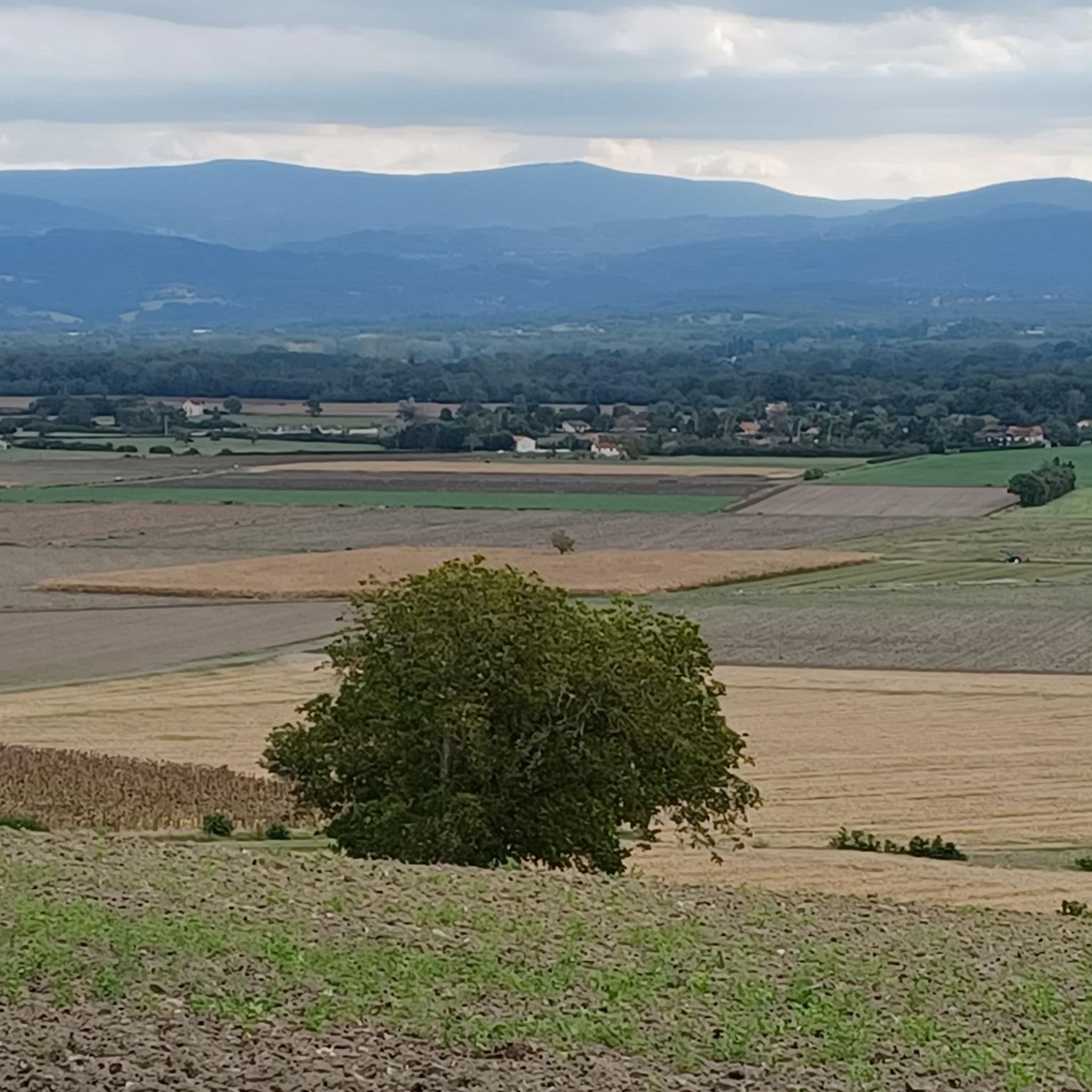
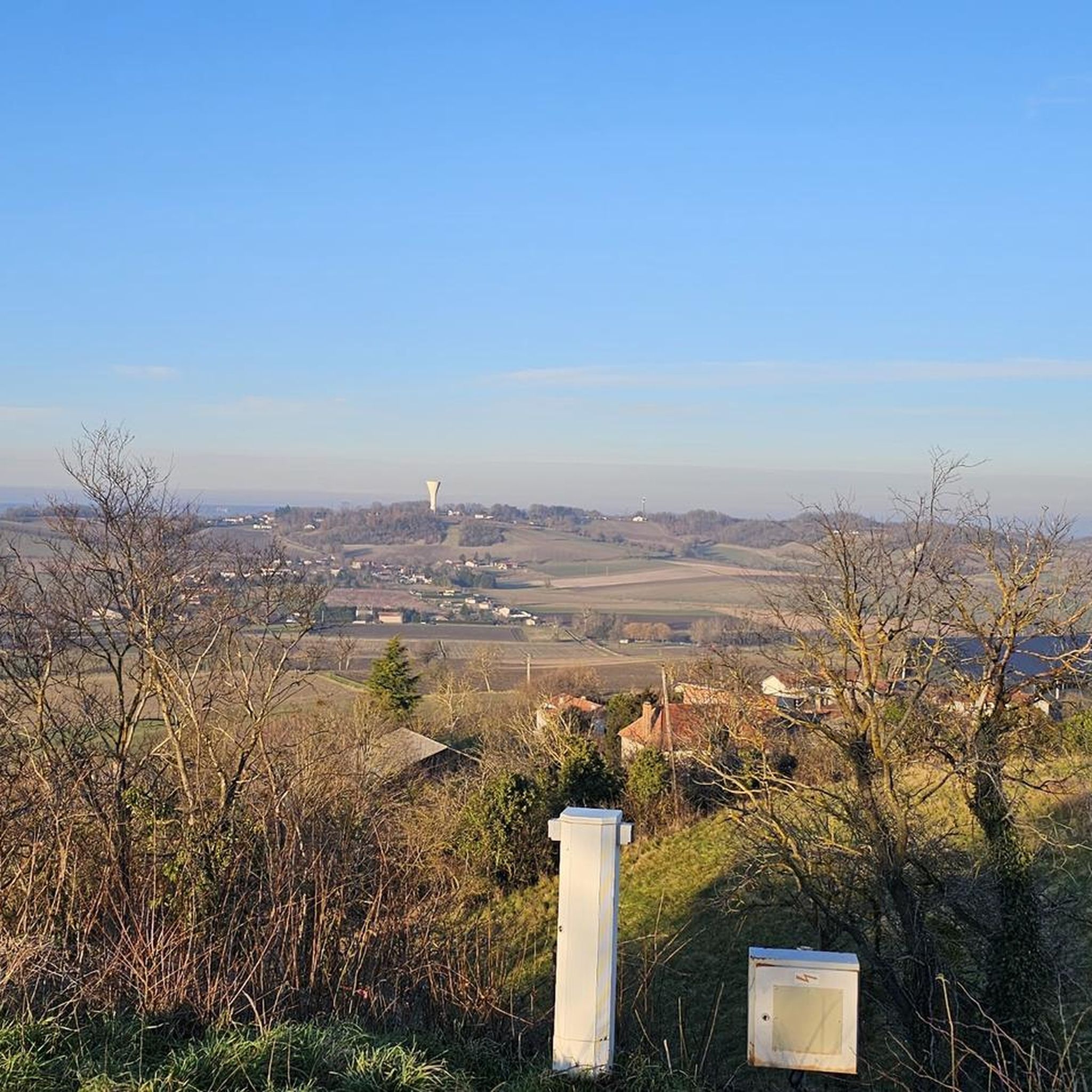
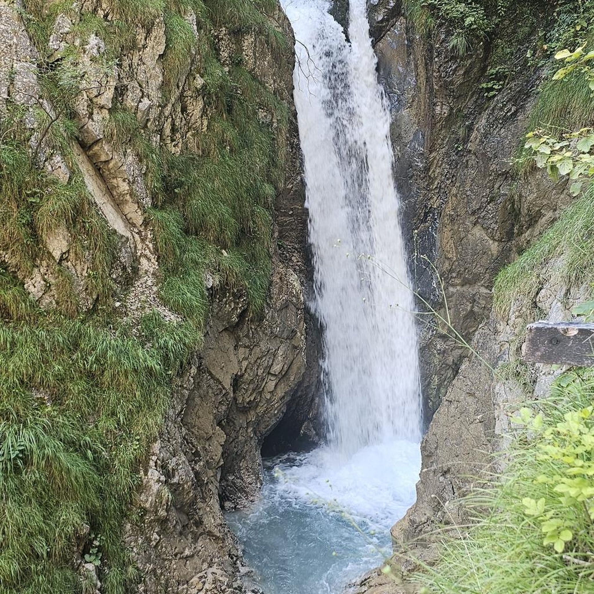
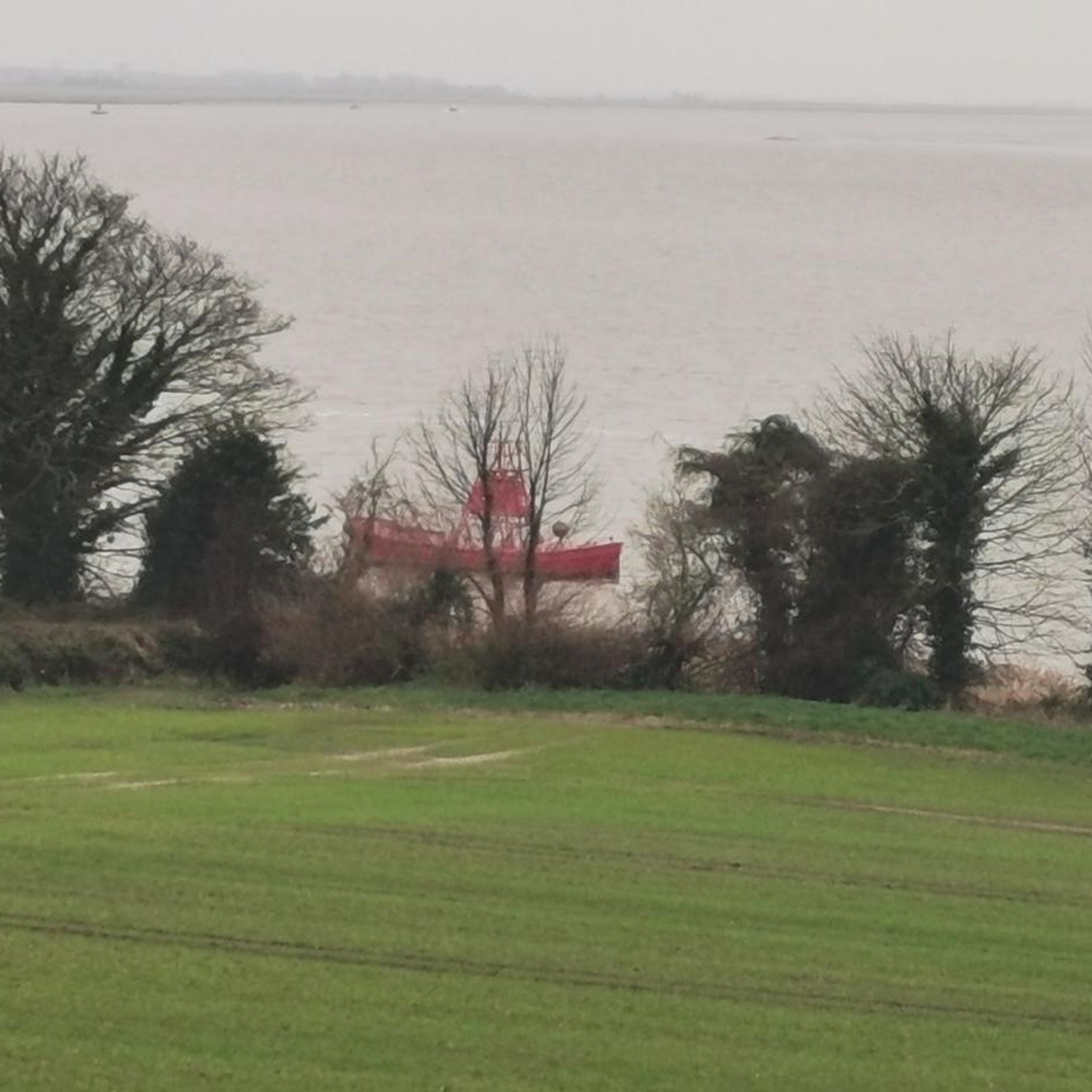

Tips from the Community


This section is closed and runs right along the railway line.
0
0

The site of Château de Maulmont was, in the 13th century, the Templar Commandery of la Gagère, built by the Grand Master of the Order of the Temple, Renaud de Vichy, upon his return from crusade in 1255. This Commandery of the Templar Order is built on the hills overlooking the banks of the Allier. Of the old castle, the wine cellars and some ivy-covered walls remain, pierced by doors with the Templars' coats of arms, battlements, and sculpted mullioned windows. At the beginning of the 14th century, Philippe Le Bel, King of France, took possession of all the Templars' properties and is said to have exchanged the Templars' fortress for residences belonging to Guillaume IV, based on an appraisal by the Count of Auvergne. Château de Maulmont was named after Agnès de Maulmont, wife of Guillaume IV, who came to live there after her husband's death. After the last descendant, Françoise de Maulmont, who died in the 15th century, the castle was inhabited by several nobles such as the Duchess of Praslin and the Marquis de Grollier. In 1829, H.R.H. Princess Adélaïde Louise d'Orléans (1777-1847), sister of King Louis Philippe d'Orléans (1773-1850) and owner of the royal domain of Randan, acquired the commandery of Maulmont. Princess Adélaïde had the Commandery demolished with the intention of building a hunting lodge on its site. In 1830, she entrusted the construction of Château de Maulmont to the architect Fontaine, to whom we owe the famous "Galerie des Batailles" at the Château de Versailles. King Louis Philippe used to come with the Court of France to hunt on the lands of Maulmont and Randan. In 1847, Maulmont passed by legacy to her nephew, Antoine d'Orléans (1824-1890), Duke of Montpensier. In 1886, the Montpensiers ceded the castle to Alfred du Guèrinet. In 1890, he commissioned the architect Honoré Vianne to transform the building into a true castle. These works mainly concern the wings flanking the entrance block, which were raised by one storey and whose flat roofs were transformed. Today, at Château de Maulmont, the memory of the past and the charm of the present coexist harmoniously.
0
0

Relaxing walk... taking the dog out... a little panorama of the surrounding area...
0
0


Beautiful view of the river from the bridge.
4
0
Frequently Asked Questions
How many gravel bike trails are available around Luzillat?
There are over 15 gravel bike trails available around Luzillat, offering a variety of experiences. These routes range from easy to difficult, ensuring options for different skill levels.
What kind of terrain can I expect on gravel bike routes near Luzillat?
Gravel biking around Luzillat primarily features the agricultural Limagne plain and paths along the Allier River. You'll encounter a mix of flat, rolling, and gently climbing paths, with elevations ranging from approximately 274 meters in the plains to 415 meters on local rises. The broader Puy-de-Dôme region also offers unique volcanic landscapes and high-altitude plateaus.
Are there any easy gravel routes suitable for beginners or families?
Yes, there are easy routes available. For instance, the Butte de Montgacon loop from Saint-Denis-Combarnazat is an easy 22.6 km trail that takes less than two hours to complete, making it a good option for those seeking a less strenuous ride.
What are some longer or more challenging gravel bike routes in the area?
For a more challenging ride, consider the Dallet bridge – Allier loop from Maringues. This difficult route spans over 114 km and typically takes around 7 hours 45 minutes to complete, offering a significant endurance test through varied landscapes.
What attractions or landmarks can I see along the gravel bike trails near Luzillat?
Many routes offer views of historical sites and charming villages. You might pass by the historic village of Maringues, the impressive Châteldon Castle, or the grand Randan Royal Estate. The Pont des Fainéants is another notable point of interest.
Are there any circular gravel routes around Luzillat?
Yes, many of the gravel routes around Luzillat are designed as loops. For example, the Former Hospice of Effiat – chateau de Pagnant loop from Randan offers a moderate 39 km circular path, and the Small Dam on the Morge – Moulin de Martres-sur-Morge loop from Entraigues is a 37.2 km loop through the Morge river valley.
What do other gravel bikers say about the routes in Luzillat?
The gravel routes in Luzillat are highly regarded by the komoot community, with an average score of 5.0 stars. Riders often praise the varied terrain through the Limagne plain and the scenic views of historical sites and rural landscapes.
Is Luzillat a good base for exploring the wider Puy-de-Dôme region by gravel bike?
Absolutely. Luzillat's location within the diverse Puy-de-Dôme department makes it an excellent starting point. The broader region is known as an 'exceptional adventure ground for gravel,' featuring unique volcanic landscapes, forests, and rivers, providing a vast backdrop for exploration beyond the immediate vicinity.
Are there any specific viewpoints along the gravel routes near Luzillat?
While specific viewpoints are not detailed for every route, the region research mentions the Puy de Vendègre, a local hill offering 'beautiful viewpoints.' Many routes also traverse varied elevations, suggesting opportunities for panoramic vistas over the Limagne plain and surrounding countryside.
What is the best time of year for gravel biking in Luzillat?
The region's climate generally makes spring and autumn ideal for gravel biking, offering pleasant temperatures and vibrant natural scenery. Summer can also be enjoyable, though it's advisable to start earlier in the day to avoid the midday heat. Winter conditions might include colder temperatures and potentially muddy paths, so checking local weather is always recommended.
Are there any facilities like cafes or restaurants near the gravel trails in Luzillat?
Luzillat and nearby villages like Maringues offer local amenities. While specific cafes directly on trails are not guaranteed, you can typically find places to refuel and relax in the towns and hamlets you pass through or start from. It's always a good idea to plan your route with potential stops in mind.
Can I reach the gravel biking areas around Luzillat using public transport?
While Luzillat is a rural area, public transport options might be limited directly to trailheads. It's recommended to check local bus or train schedules for connections to Luzillat or nearby larger towns. Many gravel bikers prefer to drive to a starting point, especially if carrying bikes, and parking is generally available in villages.
Most popular attractions around Luzillat

Get inspired with the komoot mobile app


Explore more
Browse the best Gravel rides in other regions.
