The best gravel rides around Lingeard
5.0
(8)
45
riders
6
rides
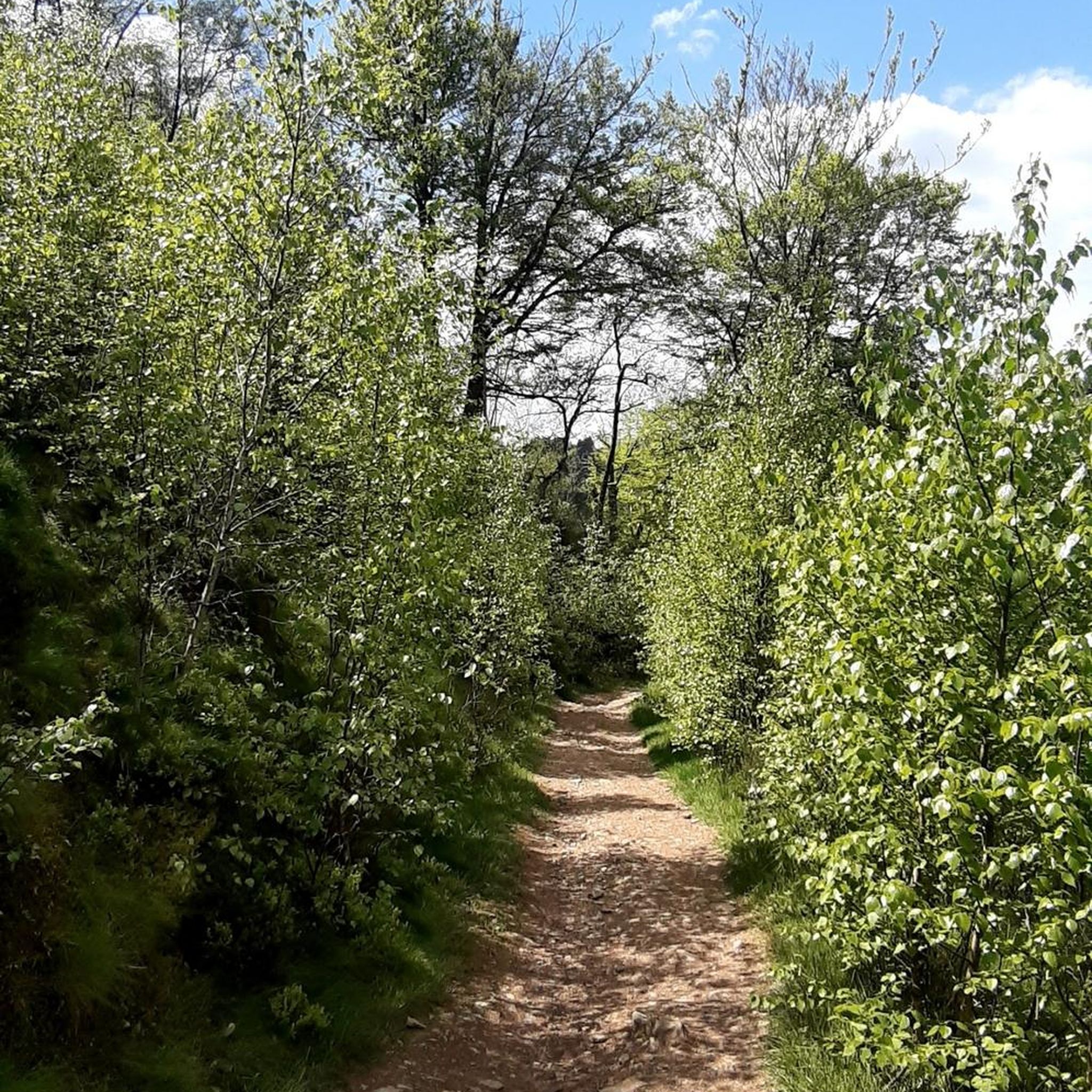
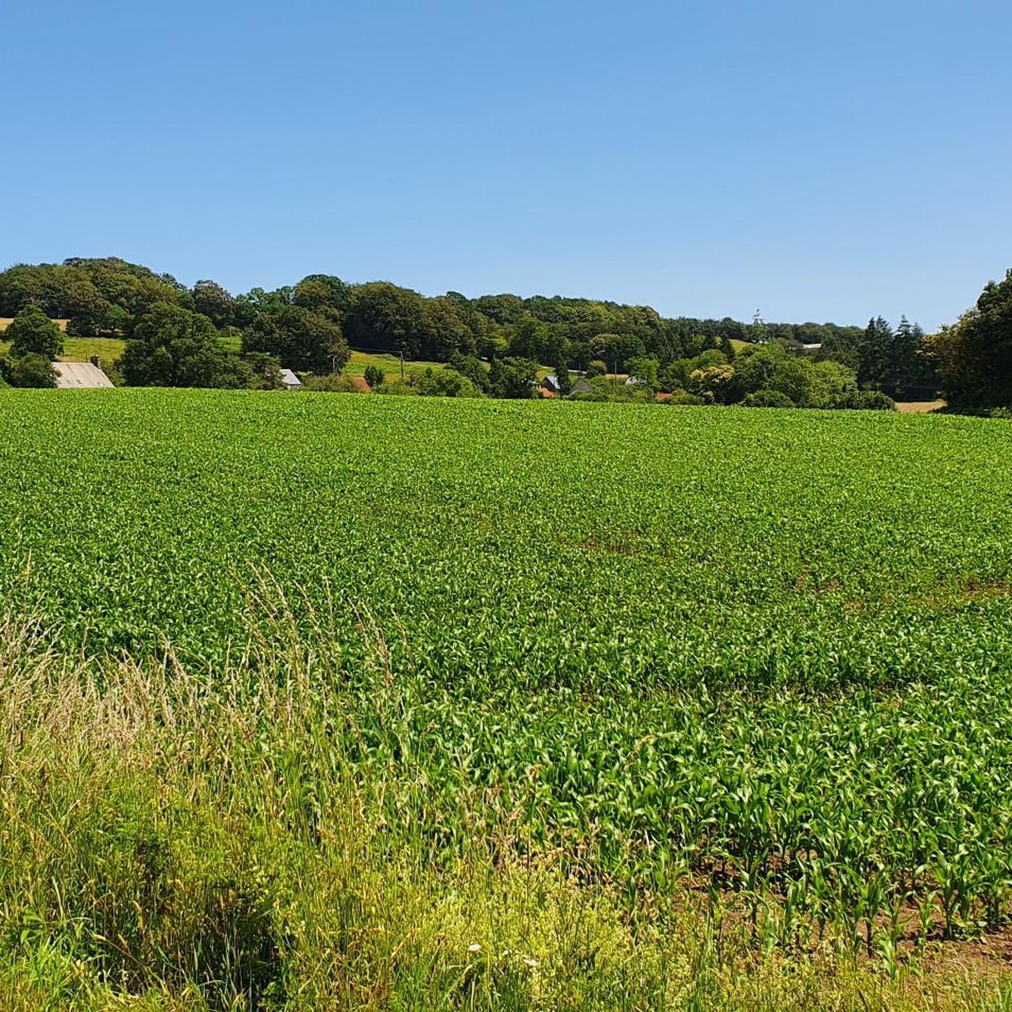
Gravel biking around Lingeard offers routes through a landscape characterized by rolling hills, wooded areas, and rural paths. The region features varied terrain suitable for gravel bikes, including sections with elevation changes and open countryside. These routes often follow quiet roads, tracks, and former railway lines, providing a mix of surfaces for exploration.
Best gravel bike trails around Lingeard
- The most popular gravel bike trail is Waterfall – Needle Rock loop from Beauficel, a 39.9 miles (64.3 km) trail…
Last updated: July 8, 2026
4.8
(5)
16
riders
72.2km
04:41
790m
790m
Hard gravel ride. Very good fitness required. Mostly paved surfaces. Suitable for all skill levels.
5.0
(1)
14
riders
108km
06:36
1,200m
1,200m
Hard gravel ride. Very good fitness required. Mostly paved surfaces. Suitable for all skill levels.

Sign up for free
5.0
(1)
2
riders
23.8km
01:37
280m
280m
Moderate gravel ride. Good fitness required. Mostly paved surfaces. Suitable for all skill levels.
3
riders
39.8km
03:06
620m
620m
Hard gravel ride. Very good fitness required. Mostly paved surfaces. Suitable for all skill levels.
3
riders
39.0km
03:00
710m
710m
Hard gravel ride. Very good fitness required. Mostly paved surfaces. Suitable for all skill levels.
Our route recommendations are based on thousands of hikes, rides, and runs completed by other people on komoot.
Start today with a free account
Your next adventure awaits.
Login or Signup


Tips from the Community

Toilets, water point and a huge collection of books for adoption!
0
0


To get to know Saint Claire, honored here with a statue, we must, geographically speaking, travel from the Manche region, south over the Alps, to the Italian region of Umbria, and, in chronological terms, return to the 13th century. "Santa Chiara" (usually referred to in German as "Clare of Assisi") from this city is the second great figure in Christianity, alongside "San Francesco." While the men who gathered around Francis proclaimed the Word of God as preachers, Claire and her fellow sisters lived in seclusion in a convent near the Church of San Damiano, outside the gates of the city of Assisi. Clare was born in (or around) 1193 and died in 1253. Her general feast day in the calendar of saints is the day of her death, August 11, in all major Christian denominations. There are also regional or order-specific feast days.
0
0

Amazing clock tower. According to the info sign the 'twin towers' are from the 12th C and the Belfry was added at the end of the 15th C. So a very historic spot. The small square in front of the tower is peaceful and hassle-free Use one of the many clean public benches as a base to enjoy your picnic. Afterwards go to the small cafe on the corner, order and pay for your coffee and they will bring it out to your table (a slight upgrade from the bench!). I discreetly ate a clafoutis de cerise with the coffee, and no-one objected.
0
0
Astounding small sculpture park which you can freely wander round. Nice clean bench at the top, from which you can enjoy the view over the landscape. Munch your snack and sup your drink and revel in having got to the high-point of this tour.
0
0

great place to rock climb and see the waterfall at mortain but ride to it from the other side of the river
0
0

Artisanal museum created by an enthusiast who collected thousands of authentic objects and photos to recreate very explicit and well-captioned scenes to retrace the decisive battles which took place in the region between June and August 1944 between the Allied forces and the German army.
1
0
Frequently Asked Questions
How many gravel bike trails are available around Lingeard?
There are 9 gravel bike trails available around Lingeard, offering a variety of experiences for different skill levels. These routes are highly rated by the komoot community.
What kind of terrain can I expect on gravel bike trails in Lingeard?
Gravel biking around Lingeard features routes through rolling hills, wooded areas, and rural paths. You'll encounter varied terrain, including sections with elevation changes and open countryside. The routes often follow quiet roads, tracks, and former railway lines, providing a mix of surfaces.
Are there challenging gravel bike routes for experienced riders in Lingeard?
Yes, Lingeard offers several challenging routes suitable for experienced gravel bikers. For instance, the The Clock Tower – The Vélocéane Cycle Route loop from Saint-Barthélemy is a difficult 61.0-mile (98.2 km) path traversing extensive rural landscapes. Another demanding option is the Needle Rock – Former Railway Embankment loop from Saint-Manvieu-Bocage, which covers 73.5 miles (118.3 km) through historic railway embankments and forested sections.
Are there any gravel bike trails that follow former railway lines in Lingeard?
Yes, some gravel bike routes in Lingeard incorporate sections of former railway lines. The Needle Rock – Former Railway Embankment loop from Saint-Manvieu-Bocage is a notable example, leading through historic railway embankments and forested areas.
What are some of the longer gravel bike routes in the Lingeard area?
For longer rides, consider the Needle Rock – Former Railway Embankment loop from Saint-Manvieu-Bocage, which is 73.5 miles (118.3 km) long. Another extensive option is The Clock Tower – The Vélocéane Cycle Route loop from Saint-Barthélemy, covering 61.0 miles (98.2 km).
Are there circular gravel bike routes in Lingeard?
Yes, all the featured gravel bike routes in Lingeard are designed as loops, allowing you to start and finish at the same point. Examples include the Waterfall – Needle Rock loop from Beauficel and The Clock Tower – Hikers' rest stop loop from Sourdeval.
What can I see along the gravel bike trails in Lingeard?
While riding, you'll experience the region's natural beauty, including wooded areas and open countryside. Nearby, you can explore various attractions such as the Motte Castrale and Étang du Vieux Château, the serene Lac de la Dathée, or the Ornithological Reserve, which are part of the region's lakes and natural monuments.
What do other gravel bikers say about the trails in Lingeard?
The gravel bike trails in Lingeard are highly rated by the komoot community, with an average score of 4.9 stars from over 10 reviews. More than 70 gravel bikers have explored the varied terrain, often praising the quiet rural paths and the scenic rolling hills.
Are there any easy or beginner-friendly gravel bike trails in Lingeard?
The gravel bike routes around Lingeard are generally categorized as moderate to difficult, with significant elevation changes. While there are no explicitly easy routes listed, moderate options like the Restaurant Marrakech – Sourdeval Church loop from Vengeons might be more approachable for those with some gravel biking experience.
Is it possible to access gravel bike trails in Lingeard using public transport?
Lingeard is a rural area, and public transport options directly to trailheads might be limited. It's generally recommended to plan your trip with a car, as most starting points for these routes are more easily accessible by private vehicle. Check local transport schedules for specific villages if you plan to rely on public transport.
What is the best time of year for gravel biking in Lingeard?
The best time for gravel biking in Lingeard is typically during spring, summer, and early autumn. These seasons offer more favorable weather conditions, with milder temperatures and less chance of heavy rain, making the rural paths and wooded sections more enjoyable. Always check the local weather forecast before heading out.
Most popular attractions around Lingeard

Get inspired with the komoot mobile app


Explore more
Browse the best Gravel rides in other regions.
