The best gravel rides around Carnet
4.1
(5)
45
riders
4
rides
Gravel biking around Carnet offers a network of routes through a landscape characterized by river valleys, greenways, and open countryside. The region features varied terrain suitable for gravel cycling, with routes often following historical paths and offering views of notable landmarks. The elevation changes are generally moderate, providing a mix of flat sections and rolling hills.
Best gravel bike trails around Carnet
- The most popular gravel bike trail is View of Mont Saint-Michel – The Couesnon at Beauvoir loop from…
Last updated: October 11, 2026
4.7
(3)
26
riders
Hard gravel ride. Very good fitness required. Mostly paved surfaces. Suitable for all skill levels.
6
riders
54.7km
03:28
450m
450m
Hard gravel ride. Very good fitness required. Mostly paved surfaces. Suitable for all skill levels.

4
riders
52.4km
03:42
460m
460m
Hard gravel ride. Very good fitness required. Mostly paved surfaces. Suitable for all skill levels.
3.5
(2)
4
riders
65.6km
03:48
630m
630m
Hard gravel ride. Very good fitness required. Mostly paved surfaces. Suitable for all skill levels.
4
riders
Moderate gravel ride. Good fitness required. Mostly paved surfaces. Suitable for all skill levels.
Our route recommendations are based on thousands of hikes, rides, and runs completed by other people on komoot.
Start today with a free account
Your next adventure awaits.
Tips from the Community

Absolument sublime !!!
1
0


Lovely route, first along the coast on good cycle paths, then after the large car park via all sorts of narrow roads and villages back to the campsite in Ceaux.
0
0

Parts of the route along the sea do not exist or are forbidden for bicycles
0
0

At the beginning of the 16th century, Bazouges-la-Pérouse had over 5,000 inhabitants, focused on agriculture and trade. The town retains many traces of this past prosperity along its alleyways and its characterful buildings.
1
0

The famous rock alignment known as the Druids' Line is as intriguing as it is fascinating. What are eighty quartz blocks doing, stretching over three hundred meters, in an area where this type of stone doesn't exist? Was it a religious or pagan practice? To date, no researcher has found the answer. The Druids' Line follows a general north-northeast orientation, despite numerous meanders. This type of alignment, in a single line, is quite rare in Brittany. It is mistakenly called the Druids' Line, as it is not a Celtic installation, dating back to the Neolithic period. (Source: https://www.destination-fougeres.bzh)
0
0

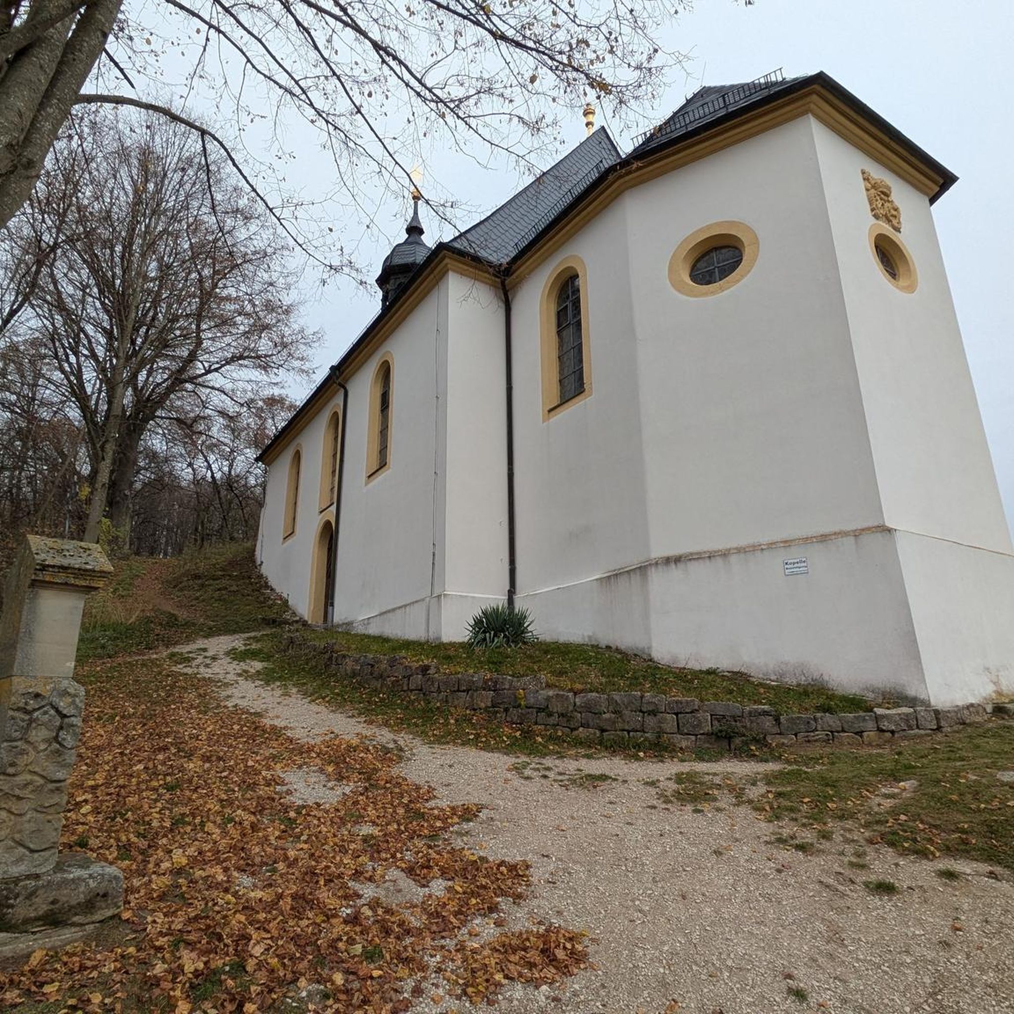
The Église Saint-Léonard was built in the 12th century and acquired its present form in the flamboyant Gothic style in the 15th and 16th centuries. During the French Revolution, the church was deprived of its sacred function, but in the 19th century, under architects such as Aristide Tourneux, it underwent extensive renovations, including a new main façade with a large rose window. Inside, 19th-century stained-glass windows depicting episodes from the life of Saint Léonard can be seen.
1
0

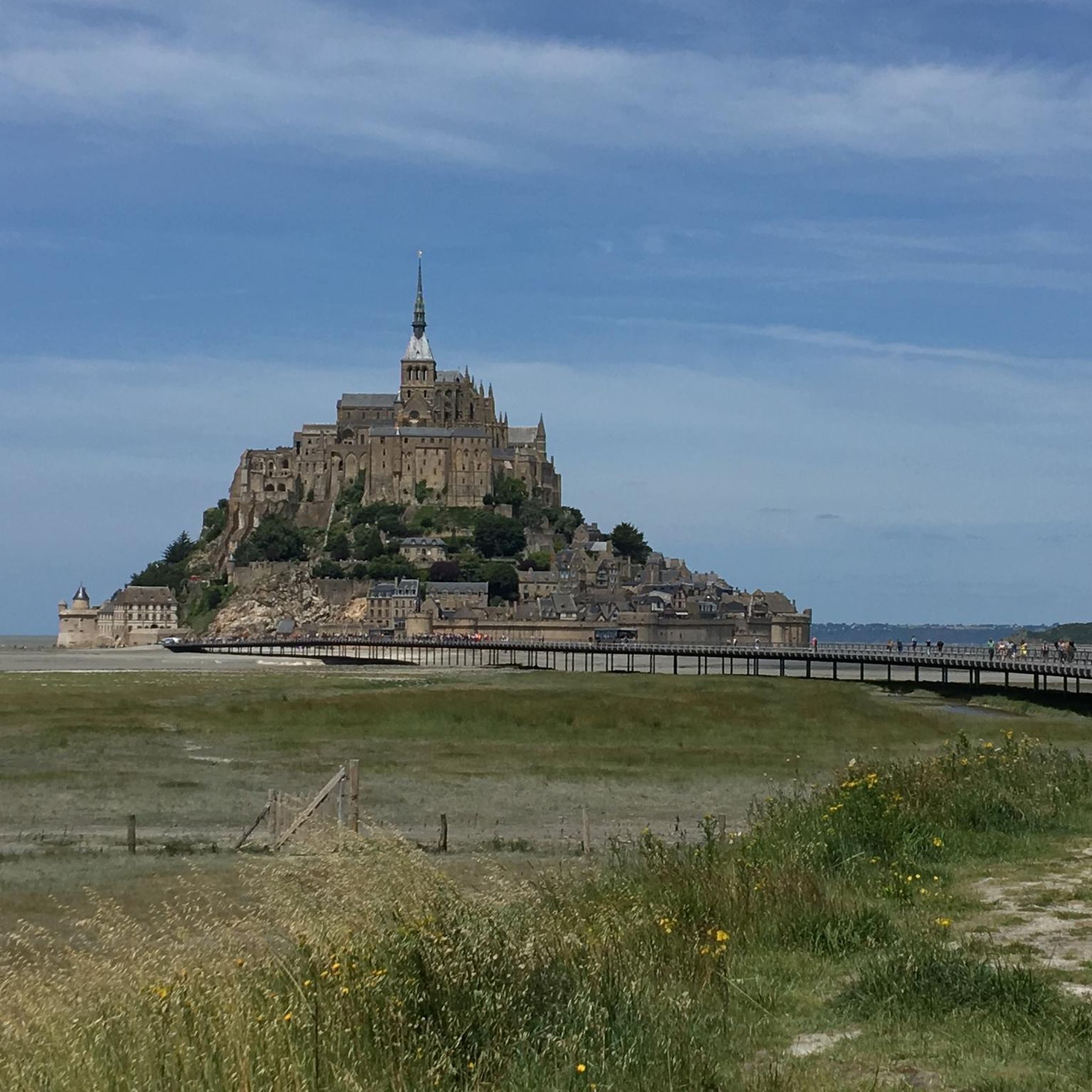
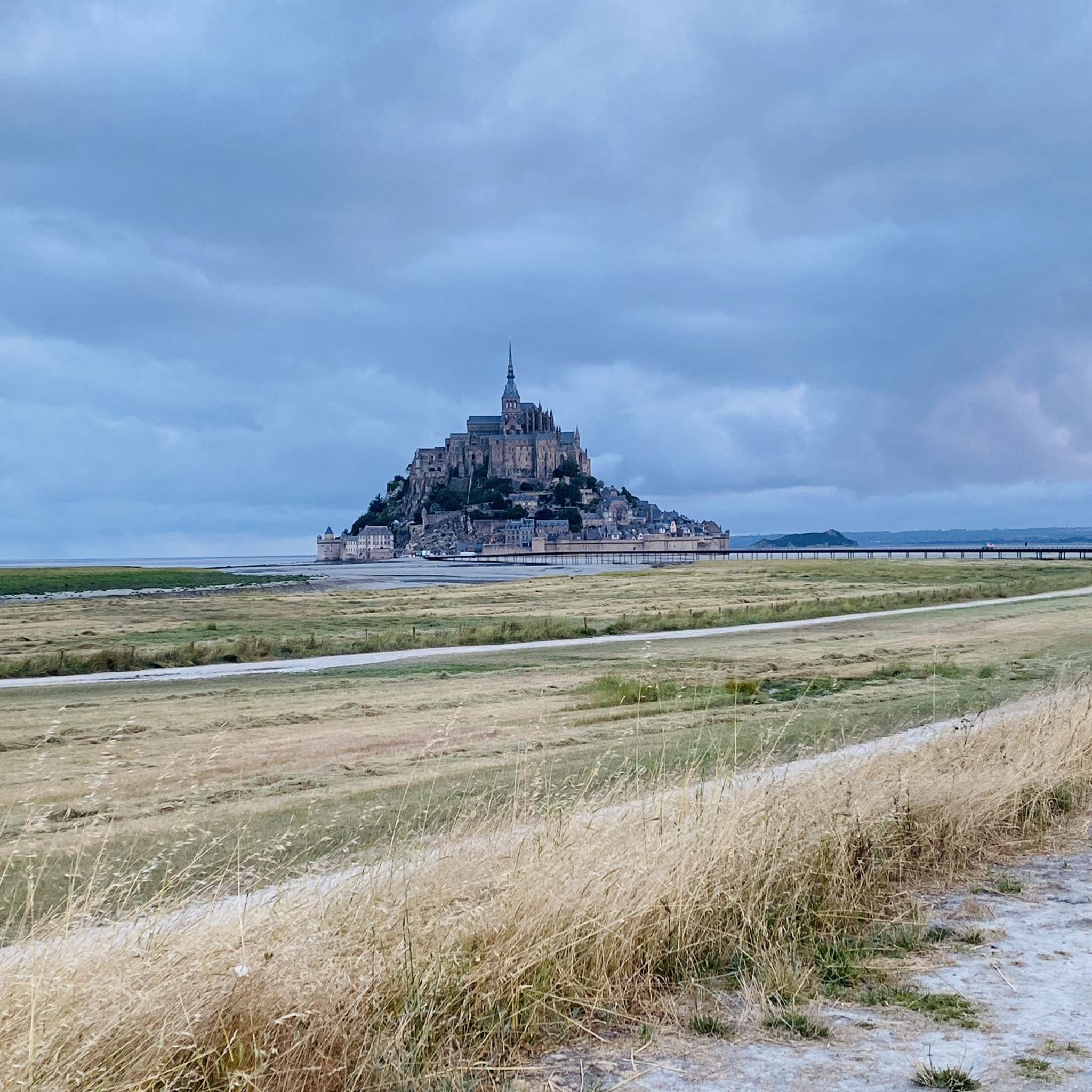
This greenway between Mont Saint-Michel and Pontorson alternates between magnificent stretches with unobstructed views and shaded sections with bucolic charm. Away from road traffic, this section reveals the unique calm of nature.
1
0
Frequently Asked Questions
Are there easy gravel bike trails suitable for beginners or families in Carnet?
Yes, Carnet offers options for all skill levels. For an easier ride, consider the View of Mont Saint-Michel – The Couesnon at Beauvoir loop from Saint-Laurent-de-Terregatte. While listed as 'difficult' due to its length (97.8 km), its terrain is generally moderate, and it can be adapted for shorter sections. For a more moderate option, the Étang de Dompierre du Chemin – Fougères–Vitré Greenway loop from Le Châtellier is 52.7 km and winds through varied landscapes, including sections of the Fougères–Vitré Greenway, making it a good choice for those looking for a less strenuous adventure.
What is the typical length and duration of gravel bike trails in Carnet?
Gravel bike trails in Carnet vary in length and duration. You'll find routes ranging from approximately 35 km to nearly 98 km. Shorter, moderate routes like the The Couesnon at Beauvoir – View of Mont Saint-Michel loop from Crollon can be completed in about 3 hours, while longer, more challenging rides may take over 6 hours.
Are there challenging gravel bike routes for experienced riders in Carnet?
Absolutely. For experienced gravel bikers seeking a challenge, Carnet offers several difficult routes. The View of Mont Saint-Michel – The Couesnon at Beauvoir loop from Saint-Laurent-de-Terregatte is a demanding 97.8 km trail with significant elevation gain, offering expansive views. Another challenging option is the Cordon des druides – Cordon des druides loop from Le Châtellier, which covers 56.6 km with substantial climbing.
When is the best time of year to go gravel biking in Carnet?
The region's landscape of river valleys, greenways, and open countryside makes it enjoyable for gravel biking throughout much of the year. Spring and autumn generally offer pleasant temperatures and beautiful scenery. Summer can be great, but be mindful of warmer weather. While winter riding is possible, it's always advisable to check local weather conditions and trail status, as some paths might be affected by rain or colder temperatures.
What can I see along the gravel bike trails in Carnet?
Many routes in Carnet offer scenic views and pass by interesting landmarks. You can enjoy expansive views of Mont Saint-Michel on routes like the View of Mont Saint-Michel – The Couesnon at Beauvoir loop from Saint-Laurent-de-Terregatte. Other attractions in the wider area include the historic Lavoir de la Loysance in Antrain, the tranquil Regalante greenway, and the scenic Along the Sélune river. Don't miss the View of Mont Saint-Michel from Montjoie-Saint-Martin for a breathtaking panorama.
Are there any circular gravel bike routes in Carnet?
Yes, all the gravel bike routes listed for Carnet are circular, meaning they start and end at the same point. This makes planning your ride and return journey straightforward. Examples include the Étang de Dompierre du Chemin – Fougères–Vitré Greenway loop from Le Châtellier and The Couesnon at Beauvoir – View of Mont Saint-Michel loop from Crollon.
What do other gravel bikers enjoy the most about gravel biking in Carnet?
The komoot community highly rates the gravel biking experience in Carnet, with an average score of 4.8 stars from over 8 reviews. Riders often praise the varied terrain, which includes river valleys, greenways, and open countryside, as well as the well-maintained paths that make for an enjoyable ride. The scenic views, particularly those of Mont Saint-Michel, are also frequently highlighted as a favorite aspect.
Is parking available near the gravel bike trails in Carnet?
While specific parking information isn't detailed for every route, many gravel trails in Carnet start from villages or towns that typically offer public parking facilities. For example, routes starting from Le Châtellier or Saint-Laurent-de-Terregatte would likely have parking options nearby. It's always a good idea to check the starting point of your chosen route on komoot for more precise parking suggestions.
How many gravel bike trails are available in the Carnet region?
There are 8 gravel bike trails currently available in the Carnet region on komoot. These routes offer a diverse range of experiences, from moderate rides through varied landscapes to more challenging, longer excursions.
Are there any routes that follow greenways or old railway lines in Carnet?
Yes, the Carnet region features routes that incorporate greenways, offering smooth and scenic riding. The Étang de Dompierre du Chemin – Fougères–Vitré Greenway loop from Le Châtellier specifically includes sections of the Fougères–Vitré Greenway, providing a pleasant experience through varied landscapes.
Can I find routes that offer views of Mont Saint-Michel?
Absolutely. Several gravel bike routes in Carnet provide stunning views of the iconic Mont Saint-Michel. The View of Mont Saint-Michel – The Couesnon at Beauvoir loop from Saint-Laurent-de-Terregatte and The Couesnon at Beauvoir – View of Mont Saint-Michel loop from Crollon are excellent choices for riders looking to combine their gravel adventure with breathtaking vistas of this famous landmark.
Most popular attractions around Carnet

Get inspired with the komoot mobile app


Explore more
Browse the best Gravel rides in other regions.
