The best gravel rides around Larochemillay
5.0
(3)
17
riders
5
rides
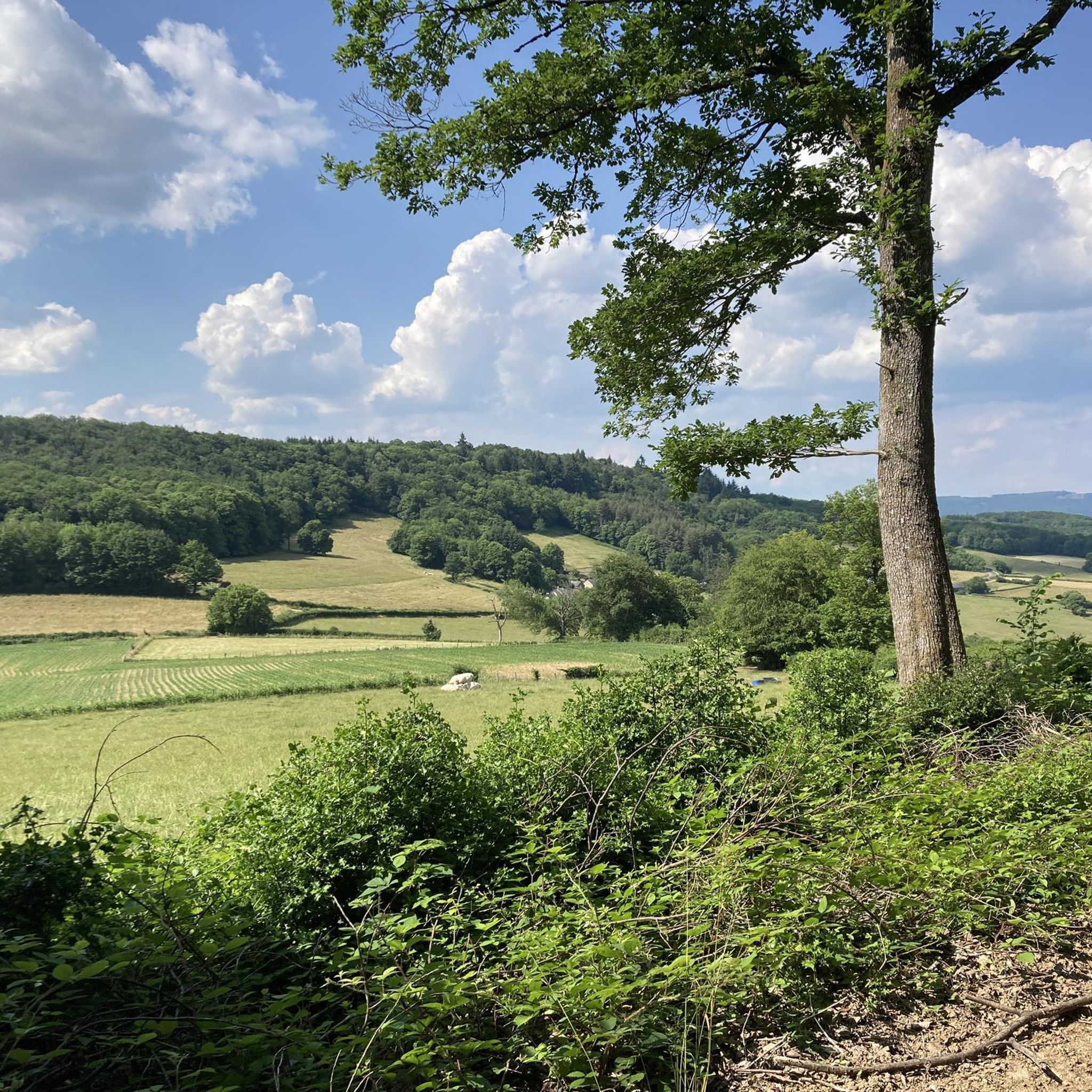
Gravel biking around Larochemillay offers diverse terrain within the Morvan Regional Natural Park, characterized by rolling hills, dense forests, and serene valleys. The area features a multitude of tracks and trails, including earthen paths, forest tracks, and quiet country roads, ideal for gravel bikes. Situated at the foot of Mont Beuvray and Mont Touleur, the landscape includes manageable climbs and varied topography. This region provides an extensive network of routes suitable for different skill levels, from gentle paths along streams…
Last updated: July 7, 2026
5.0
(3)
8
riders
92.1km
06:54
1,350m
1,350m
Hard gravel ride. Very good fitness required. Mostly paved surfaces. Suitable for all skill levels.
1
riders
18.6km
01:35
370m
370m
Moderate gravel ride. Good fitness required. Mostly paved surfaces. Suitable for all skill levels.

Sign up for free
2
riders
26.4km
02:09
530m
530m
Hard gravel ride. Very good fitness required. Mostly paved surfaces. Suitable for all skill levels.
2
riders
13.5km
00:59
220m
220m
Moderate gravel ride. Good fitness required. Mostly paved surfaces. Suitable for all skill levels.
1
riders
35.8km
02:37
580m
580m
Hard gravel ride. Very good fitness required. Mostly paved surfaces. Suitable for all skill levels.
Our route recommendations are based on thousands of hikes, rides, and runs completed by other people on komoot.
Start today with a free account
Your next adventure awaits.
Login or Signup
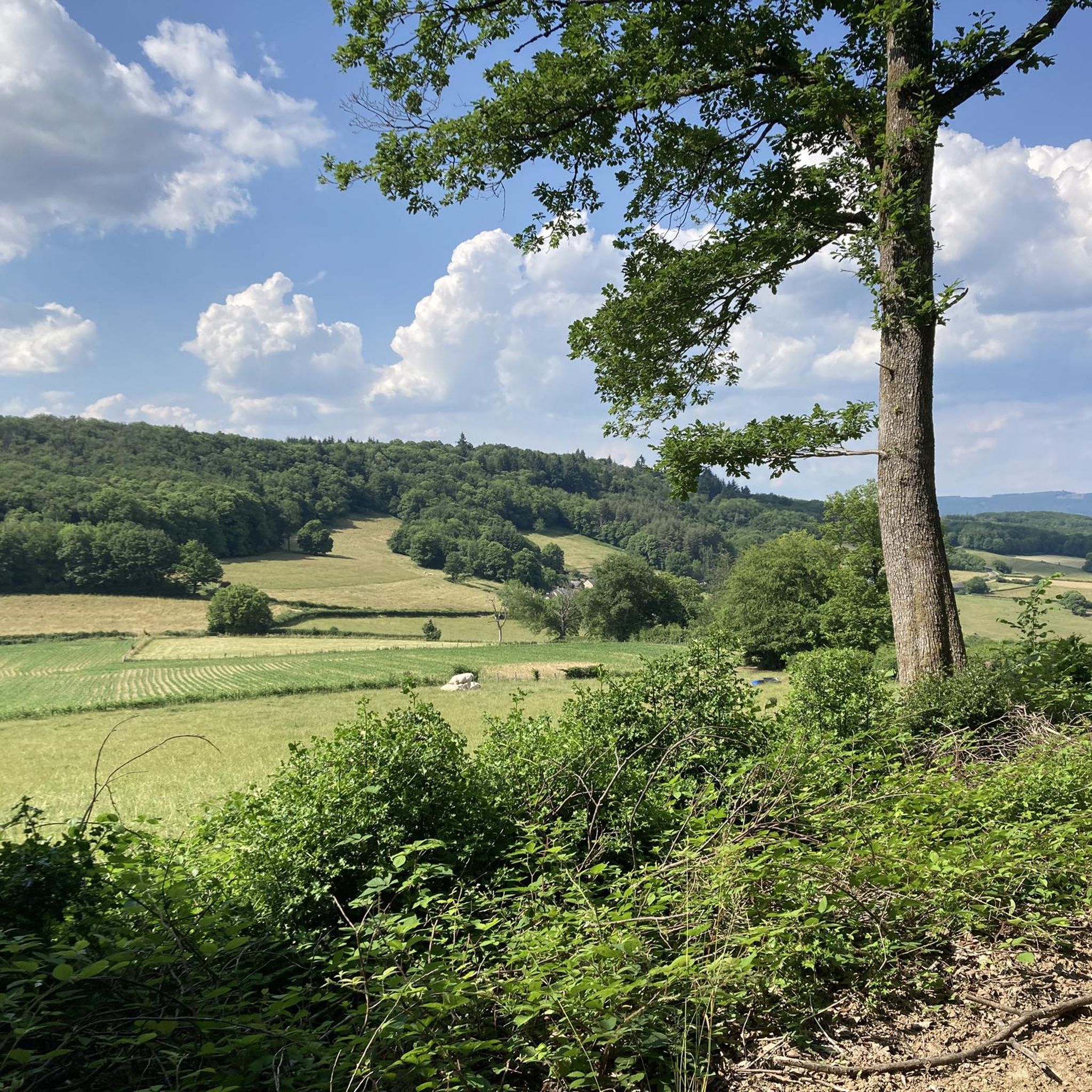
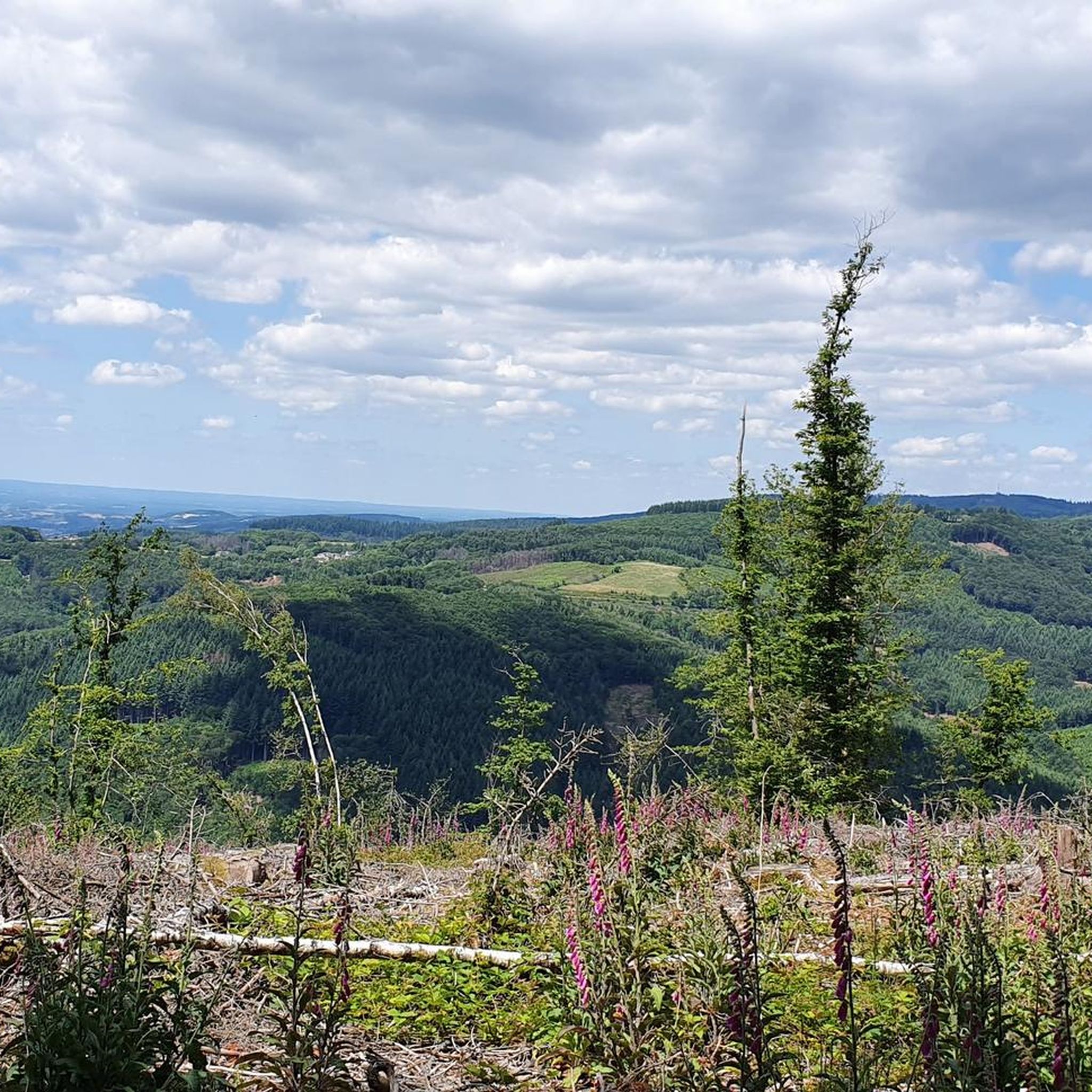
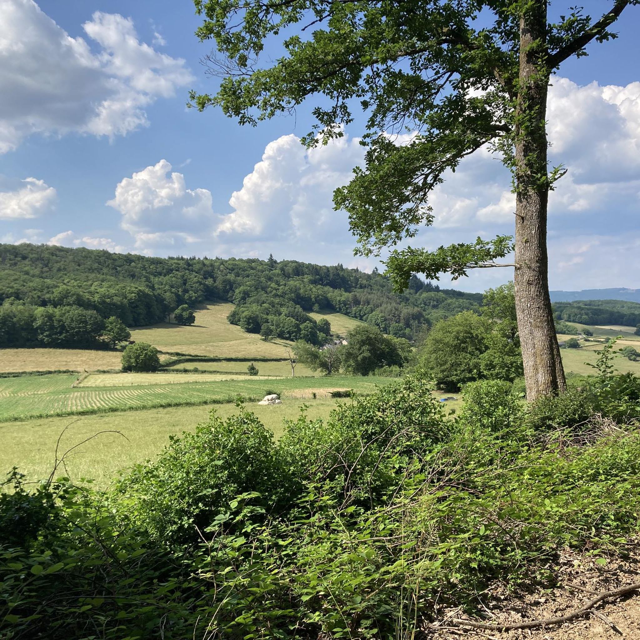
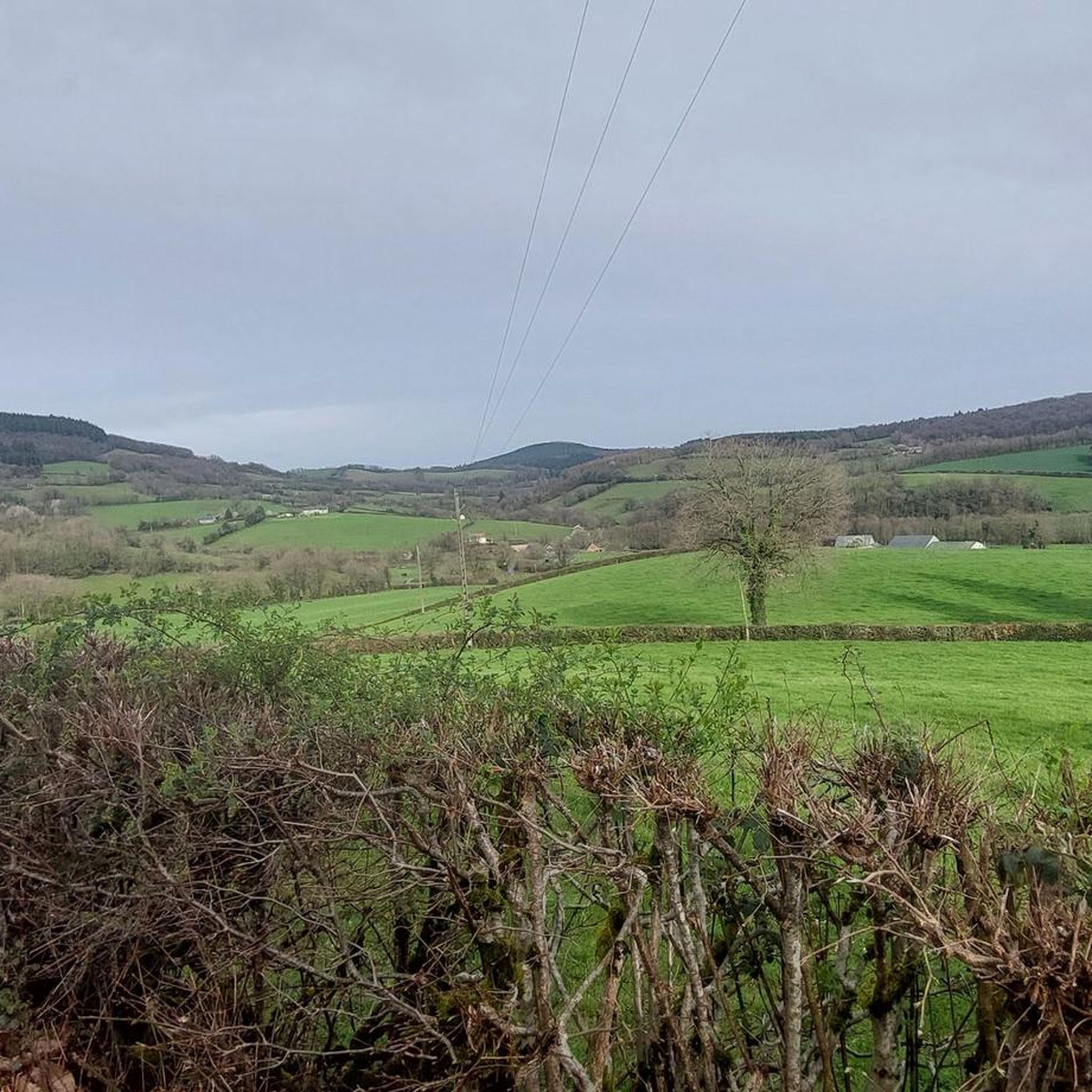
Tips from the Community

This section is a beautiful rolling dirt track along the Arroux River. If you take the time to stop and observe, you can spot many species of birds that live here.
0
0

Action through the Mechet
0
0

In the village you have a nice bakery, cafe, hotel-restaurant and a shop where you can buy products for pasta, among other things.
0
0
Also open on Sundays. Good quality. My favorite: pain suisse.
1
0

probably a good campspot but I was to scared to check it ou
0
0

nice trip, but not recommended in full summer sun
0
0

A nice ford with the tree in the middle. With its hard bottom, no difficulty when the level is reasonable. If necessary, pass on the side.
0
0

very good bakery with delicious types of bread.
0
0
Frequently Asked Questions
What kind of terrain can I expect on gravel bike trails around Larochemillay?
The Larochemillay area, nestled within the Morvan Regional Natural Park, offers a diverse gravel biking experience. You'll encounter rolling hills, dense forests, serene valleys, and quiet country roads. The park is crisscrossed with a multitude of tracks and trails, including earthen paths and forest tracks, providing varied and engaging rides. While there are manageable climbs, some routes feature significant elevation changes, catering to different skill levels.
Are there any family-friendly gravel bike routes in Larochemillay?
Yes, the Morvan Regional Natural Park, where Larochemillay is located, is known for its extensive network of trails suitable for various skill levels. While specific 'family-friendly' routes aren't explicitly detailed, the presence of 'manageable climbs' and a 'multitude of tracks and trails' suggests that easier, less demanding paths can be found. Look for routes with lower elevation gain and shorter distances for a more relaxed family outing.
What are some notable natural features or landmarks I can see while gravel biking near Larochemillay?
The region is rich in natural beauty and historical sites. You can cycle past the picturesque valley of the 'la Roche' stream, explore the wooded Mont Touleur, or even ride near the prominent Mont Beuvray. A highlight is the Dragne Waterfall, offering a scenic spot. Other natural attractions include the Sources of the Yonne and the Rangère Pond. For a blend of nature and history, the Mont Beuvray and Bibracte Archaeological Site is a must-see.
What is the best time of year to go gravel biking in Larochemillay?
While specific 'best time' data isn't provided, the Morvan Regional Natural Park's diverse landscapes are enjoyable across seasons. Spring and autumn generally offer pleasant temperatures and beautiful scenery, with vibrant foliage or blooming flora. Summer is also suitable, though some trails might be busier. The region's 'manageable climbs' make it accessible for much of the year, but always check local weather conditions before heading out.
Are there any loop routes for gravel biking starting from or near Larochemillay?
Yes, the area offers several loop routes. For instance, the Ford on the Méchet🤗 river loop from Saint-Léger-sous-Beuvray is a moderate 11.5-mile (18.5 km) path that provides a scenic ride along the Méchet river. Another option is the Col d'Anverse – La Canche Pond loop from Haut Folin, a 28.7-mile (46.3 km) trail through dense forests and past natural ponds.
What are the difficulty levels of gravel bike trails around Larochemillay?
The gravel biking routes in Larochemillay and the surrounding Morvan Regional Natural Park cater to a range of abilities. You'll find options from leisurely rides on quiet country roads to more demanding routes with notable elevation changes. For example, the Saint-Léger-sous-Beuvray – Aizy Pond loop from Saint-Didier-sur-Arroux is considered difficult, covering 56.5 miles (90.9 km) with significant elevation gain. In contrast, the Ford on the Méchet🤗 river loop from Saint-Léger-sous-Beuvray is a moderate option.
What do other gravel bikers say about the trails in Larochemillay?
The gravel biking experience around Larochemillay is highly rated by the komoot community, with an average score of 5.0 stars from over 6 reviews. More than 50 gravel bikers have used komoot to explore the varied terrain, often praising the region's 'blissful tranquility' and 'beautifully raw nature' within the Morvan Regional Natural Park. The extensive network of tracks and trails, offering 'almost infinite options for gravel routes,' is also a frequently appreciated aspect.
Are there any historical sites accessible by gravel bike near Larochemillay?
Absolutely. Larochemillay is rich in history. You can explore the area around Mount Beuvray, which was once the ancient oppidum of Bibracte, a major historical and archaeological site. The Bibracte Museum offers further insights into this significant past. Additionally, the Mont Beuvray and Bibracte Archaeological Site is a classified natural site (Natura 2000) that blends history with nature.
Can I find cafes or restaurants in Larochemillay for cyclists?
While specific cyclist-friendly establishments aren't detailed, Larochemillay is a village within a popular outdoor recreation area. It's reasonable to expect local cafes, pubs, or restaurants that cater to visitors, including cyclists. It's always a good idea to check opening hours in advance, especially in smaller villages within regional parks.
What are the options for parking when gravel biking in Larochemillay?
The Morvan Regional Natural Park is generally accommodating for outdoor enthusiasts. While specific parking locations for gravel bikers in Larochemillay aren't listed, you can typically find parking in or near the village centers or at trailheads within the park. Many routes, like the Luzy - village – Luzy loop from Luzy, often start from towns or villages where parking facilities are available.
How long are the gravel bike trails around Larochemillay?
The trails vary significantly in length, offering options for different preferences. You can find shorter, moderate routes like the Ford on the Méchet🤗 river loop from Saint-Léger-sous-Beuvray, which is 11.5 miles (18.5 km). For longer, more challenging rides, consider the Saint-Léger-sous-Beuvray – Aizy Pond loop from Saint-Didier-sur-Arroux, spanning 56.5 miles (90.9 km).
Most popular routes around Larochemillay
Most popular attractions around Larochemillay

Get inspired with the komoot mobile app


Explore more
Browse the best Gravel rides in other regions.
