The best gravel rides around Montigny-Lengrain
4.8
(7)
29
riders
2
rides
Gravel biking around Montigny-Lengrain features a landscape characterized by rolling terrain, verdant forests, and picturesque valleys. The region offers varied surfaces suitable for gravel bikes, including paths near ancient castles and through natural woodlands. Topography includes gentle ascents and descents, making it accessible for different skill levels. Significant forested areas like the Forêt de Retz and Forêt de Compiègne provide extensive networks of unpaved roads and trails.
Best gravel bike trails around Montigny-Lengrain
- The most popular gravel bike trail is…
Last updated: July 5, 2026
5.0
(2)
11
riders
72.4km
04:32
550m
550m
Hard gravel ride. Very good fitness required. Mostly paved surfaces. Suitable for all skill levels.
4.8
(4)
12
riders
51.9km
02:55
150m
150m
Moderate gravel ride. Good fitness required. Mostly paved surfaces. Suitable for all skill levels.

Sign up for free
2
riders
Easy gravel ride. Great for any fitness level. Mostly paved surfaces. Suitable for all skill levels.
Our route recommendations are based on thousands of hikes, rides, and runs completed by other people on komoot.
Start today with a free account
Your next adventure awaits.
Login or Signup
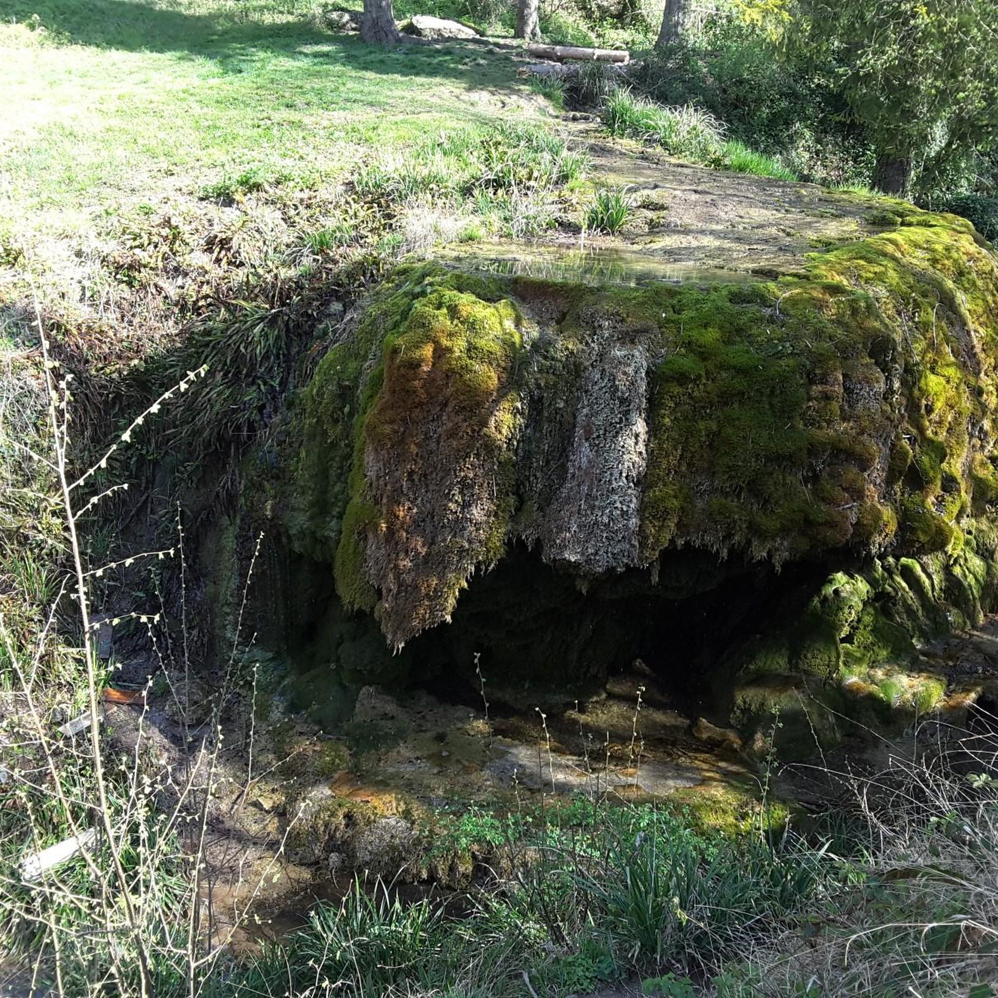


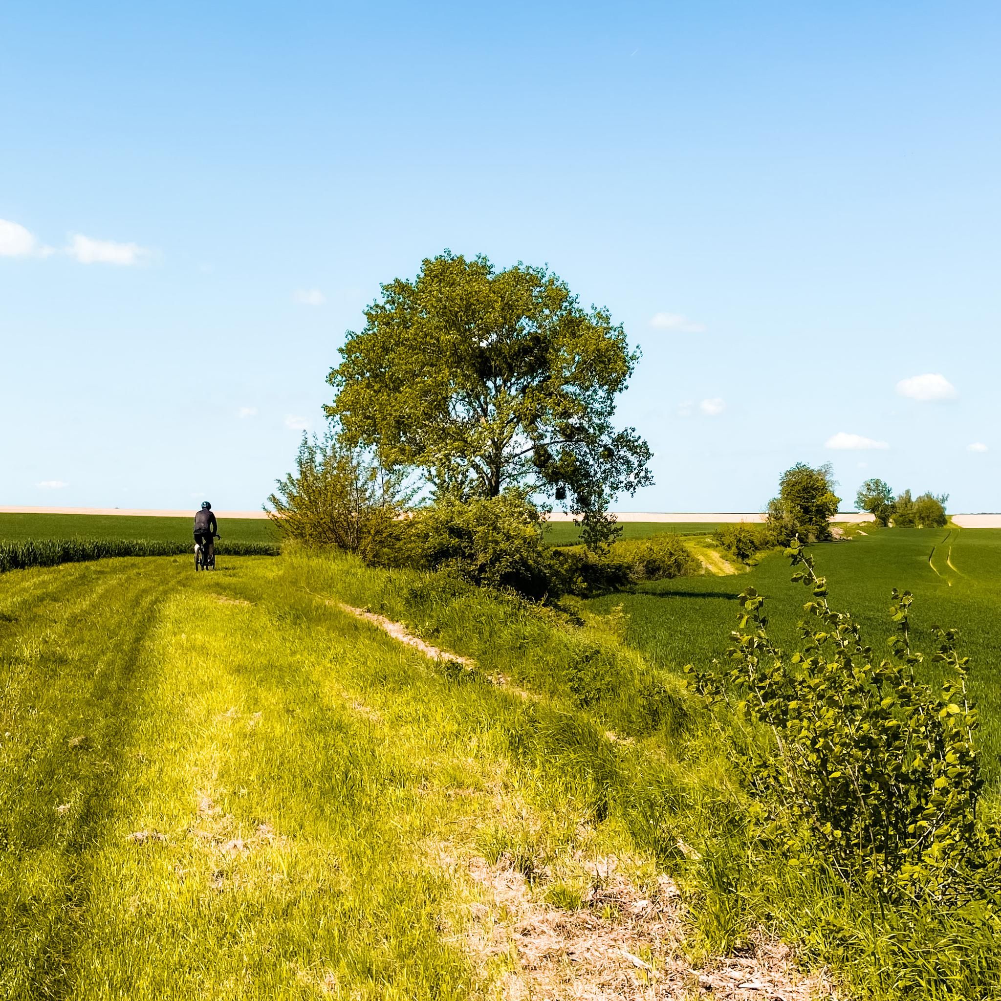
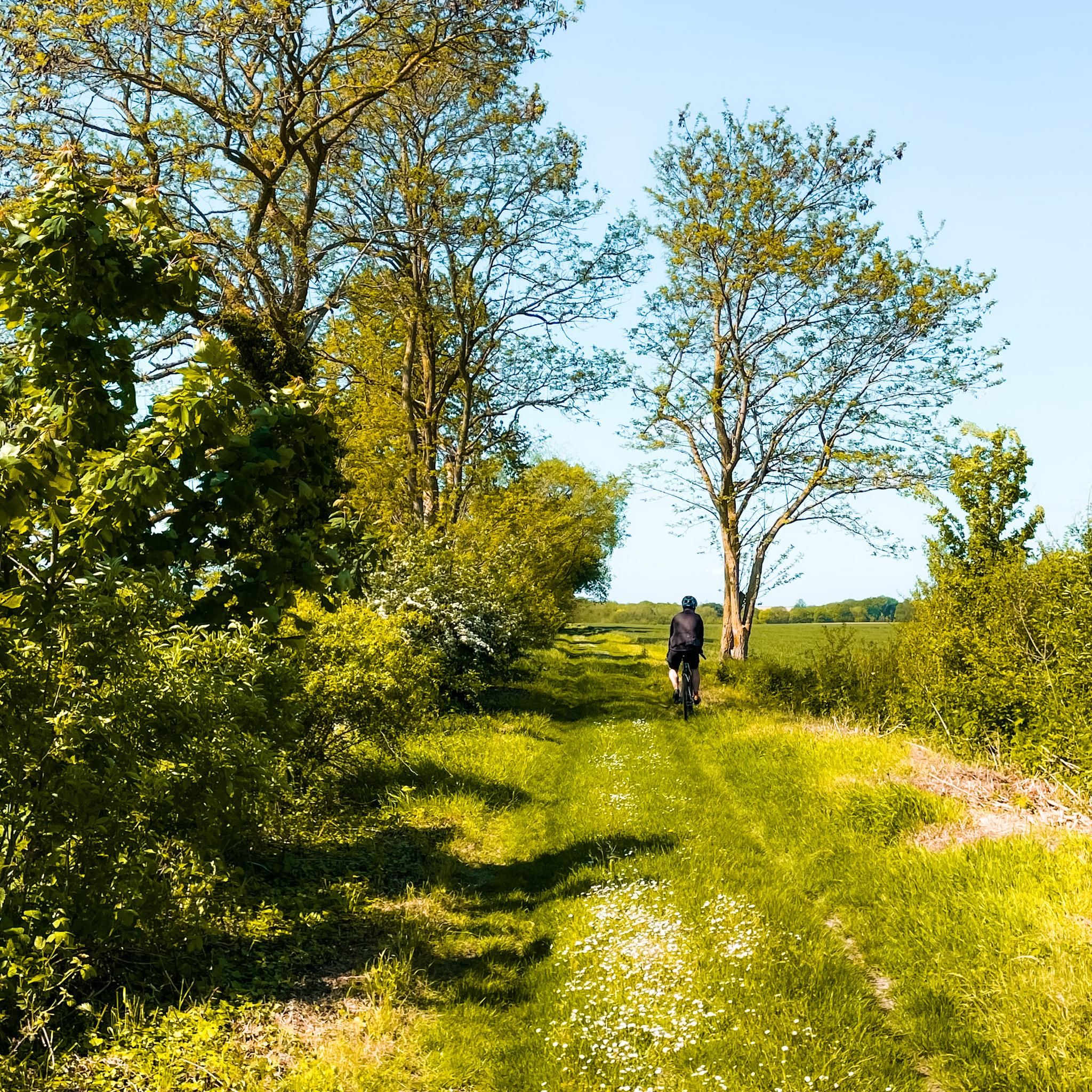
Tips from the Community

This Greenway, built on the bank of the former Compiègne-Soissons railway line, connects Cuise-la-Motte with Soissons and forms the main section of the cycle route that will eventually connect these two important cities along the Aisne Valley. The first section was completed in 2011 between Cuise-la-Motte and Courtieux. In 2023, additional sections were added between Courtieux and Soissons. The path consists of smooth, very smooth asphalt and is pleasant to ride. It passes several ponds.
5
0
Pedestrian and cyclist bridge over the Aisne River. The name, "Passerelle des Anglais," refers to the important role the British played in the liberation of Soissons in 1918 and in the reconstruction of the city after the First World War, including the reconstruction of the original bridge, which was destroyed by the German army.
6
0


New footbridge much wider than the old one.
1
0
The banks of the Aisne accessible by bike 👍
0
0


Founded in 1139 on the site of an older community of secular canons, the abbey is named after Saint Léger of Autun. The Gothic cloister and Romanesque crypt are well preserved. Today, the complex houses the Musée municipal de Soissons and is a major heritage site in the city centre.
7
0

A village of character located in the heart of the forest, which offers a pleasant and exotic stopover on several tours crossing the Compiègne forest.
0
0
Frequently Asked Questions
How many gravel bike trails are available around Montigny-Lengrain?
There are currently over 4 gravel bike routes documented on komoot for the Montigny-Lengrain area, offering a variety of experiences for different skill levels.
Are there any easy gravel bike routes suitable for beginners or families?
Yes, for an easier ride, consider the Étang Saint-Pierre – Étang de l'Étot loop from Forêt domaniale de Compiègne. This 12.0-mile (19.4 km) trail leads through the Forêt domaniale de Compiègne and is generally completed in about 1 hour 11 minutes, making it a good option for those seeking a less strenuous outing.
What are some moderate gravel biking options in the region?
For a moderate challenge, the View of Pierrefonds Castle – Pierrefonds Pond loop from Trosly-Breuil is a popular choice. This 29.8-mile (47.9 km) route offers scenic views of Pierrefonds Castle and its surrounding pond. Another moderate option is the View of the Town Hall – Soissons Town Hall loop from Attichy, which covers 32.8 miles (52.8 km).
Are there any challenging gravel bike routes for experienced riders?
Experienced gravel bikers looking for a challenge can tackle the Coucy-le-Château-Auffrique – Château de Coucy loop from Osly-Courtil. This difficult 45.2-mile (72.8 km) route features significant elevation gain and passes by historical landmarks, taking around 5 hours 37 minutes to complete.
What kind of historical landmarks or attractions can I see along the gravel bike trails?
The region is rich in history. Many routes pass by impressive sites such as Pierrefonds Castle and Vic-sur-Aisne Castle. You might also encounter the Ruin of the priory of Ste Croix or explore the unique cave system of Le fond Guesot.
What do other gravel bikers enjoy most about the Montigny-Lengrain area?
The komoot community highly rates the gravel biking experience around Montigny-Lengrain, with an average score of 4.875 stars from over 8 reviews. Riders often praise the diverse terrain, which includes historical sites, dense woodlands, and open countryside, providing a varied and engaging ride.
Are there any circular gravel bike routes in Montigny-Lengrain?
Yes, all the routes listed in this guide are circular loops, designed to bring you back to your starting point. Examples include the Saint Sulpice Church – Audignicourt Church loop from Attichy and the View of Pierrefonds Castle – Pierrefonds Pond loop from Trosly-Breuil.
What is the best time of year to go gravel biking in Montigny-Lengrain?
Given the region's mix of forests and open countryside, spring and autumn are ideal for gravel biking, offering pleasant temperatures and beautiful scenery. Summer can also be enjoyable, especially on routes that pass through shaded woodlands. Winter riding is possible, but conditions may vary with potential for mud or colder temperatures.
Is public transport available to access the gravel bike trails?
While specific public transport links directly to trailheads can vary, the Montigny-Lengrain region is generally accessible by regional train services to nearby towns like Soissons or Compiègne. From there, you might need to cycle a short distance or arrange local transport to reach specific starting points.
Where can I find parking for gravel biking in Montigny-Lengrain?
Many of the routes start from villages or towns that offer public parking facilities. For example, routes starting from Osly-Courtil, Trosly-Breuil, or Attichy typically have designated parking areas nearby. It's advisable to check the specific tour details on komoot for recommended parking at your chosen starting point.
Are the gravel bike trails in Montigny-Lengrain dog-friendly?
Many natural trails and forest paths in the Montigny-Lengrain area are generally dog-friendly, especially if your dog is accustomed to running alongside a bike. However, always keep your dog on a leash, especially near roads, livestock, or in protected natural areas. Check local regulations for specific areas, particularly within the Forêt domaniale de Compiègne.
Are there any cafes or refreshment stops along the gravel bike routes?
The routes often pass through or near charming villages and towns where you can find local cafes, bakeries, or small shops for refreshments. Larger towns like Pierrefonds or Soissons, which some routes pass close to, offer more options. It's always a good idea to carry sufficient water and snacks, especially on longer routes.
Most popular routes around Montigny-Lengrain
Most popular attractions around Montigny-Lengrain

Get inspired with the komoot mobile app


Explore more
Browse the best Gravel rides in other regions.
