The best walks and hikes around San Mango Sul Calore
3.8
(5)
18
hikers
1
hike
Hiking trails around San Mango Sul Calore are situated within the scenic Calore Valley, characterized by rolling hills, local vineyards, and olive groves. The region offers varied terrain, from accessible scenic hills directly surrounding the village to the more rugged landscapes of the Monti Picentini, featuring mountain peaks and dense woodlands. These woodlands are composed of holm oaks, chestnuts, and Mediterranean scrub, providing diverse hiking experiences.
Best hiking trails around San Mango Sul Calore
- The most popular hiking route is…
Last updated: July 1, 2026
3.0
(2)
5
hikers
10.5km
04:19
750m
750m
Moderate hike. Good fitness required. Mostly accessible paths. Sure-footedness required.
4.5
(2)
7
hikers
13.3km
04:21
630m
630m
Moderate hike. Good fitness required. Easily-accessible paths. Suitable for all skill levels.

Sign up for free
4
hikers
9.57km
02:48
260m
260m
Moderate hike. Good fitness required. Easily-accessible paths. Suitable for all skill levels.
4.0
(1)
2
hikers
3.63km
01:16
210m
210m
Easy hike. Great for any fitness level. Easily-accessible paths. Suitable for all skill levels.
7.85km
02:24
270m
260m
Moderate hike. Good fitness required. Easily-accessible paths. Suitable for all skill levels.
Our route recommendations are based on thousands of hikes, rides, and runs completed by other people on komoot.
Start today with a free account
Your next adventure awaits.
Login or Signup

Tips from the Community

This small shelter is built near a spring/watering hole.
0
0

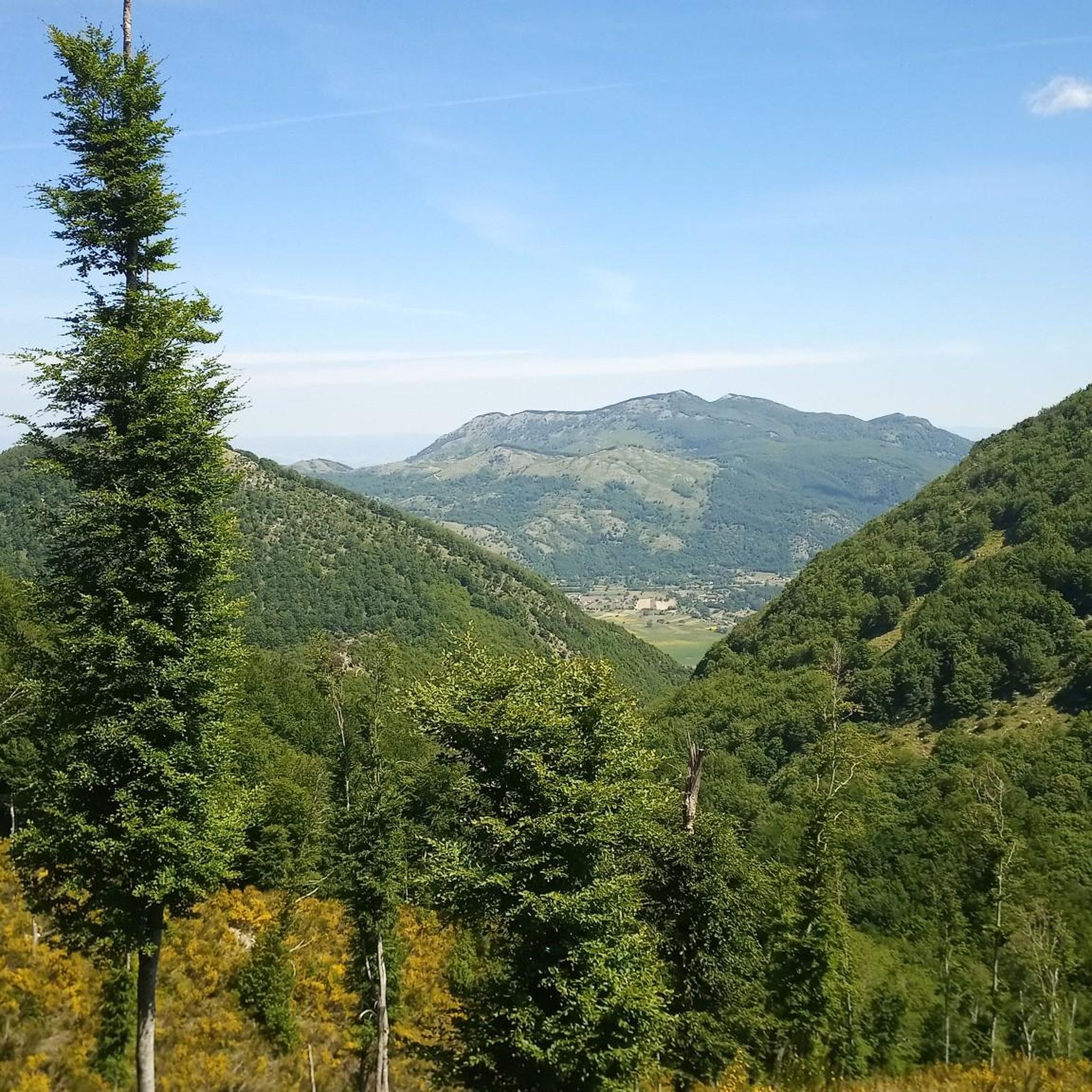
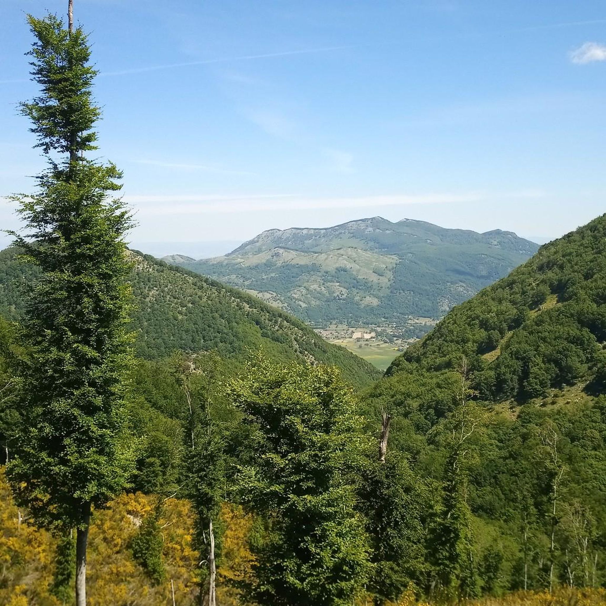
The view from the Anticima del Terminio is truly spectacular. Then in spring/summer between the summit and the anticima there is a beautiful green meadow. To reach it: trekking clothing and sturdy shoes.
2
0

Here you can stock up on very fresh drinking water. We are surrounded by vegetation and this is a hub for many paths.
1
0


The north foresummit of Monte Terminio is very panoramic. From here you have a great view of the main peak.
1
0

Visited today, unfortunately the water flow is significantly reduced.
7
0
Where there is a water source. From here it is possible to continue towards the Campolaspierto plateau or to climb to the top of the Terminio.
20
0

For lovers of extreme MTB riding Very technical enduro routes to be tackled with caution at least for the first descents Then the fun is guaranteed https://www.trailforks.com/trails/flow-2020/ https://www.trailforks.com/trails/8volante-hirpus-bike-trails/ https://www.trailforks.com/trails/cresta-77762/
4
0
Frequently Asked Questions
What kind of landscapes can I expect to see while hiking around San Mango Sul Calore?
Hiking around San Mango Sul Calore offers a diverse range of landscapes. You'll primarily encounter the scenic Calore Valley, characterized by rolling hills, picturesque vineyards, and olive groves. Further afield, the Monti Picentini region provides more rugged terrain with mountain peaks and dense woodlands composed of holm oaks, chestnuts, and Mediterranean scrub.
Are there any easy or beginner-friendly hiking routes in the area?
While many routes in the immediate vicinity are moderate, the region's accessible scenic hills directly surrounding San Mango Sul Calore offer pleasant walks. For a moderate option that is well-loved, consider the Masseria Di Chiara – La taverna rossa loop from Frigento, which is about 5.9 miles (9.6 km) and leads through agricultural areas.
What are some notable natural attractions or landmarks to look out for on hikes?
A unique natural attraction is the "Dragon Plain" (Bocca del Dragone), a karst sinkhole on Monte Costa, steeped in local legend. You can learn more about this intriguing geological formation at the Dragon Plain highlight page. Another point of interest is the Hill of the Angel Trail, an old disused road now popular for hiking.
Are there any circular hiking routes available near San Mango Sul Calore?
Yes, the area features several excellent loop trails. Popular options include the Acqua delle Logge loop from Volturara Irpina, which is a moderate 6.5 miles (10.5 km) route, and the Monte Tuoro loop from Castelvetere sul Calore, offering panoramic vistas over 8.3 miles (13.4 km).
What do other hikers say about the trails around San Mango Sul Calore?
The routes in San Mango Sul Calore are highly rated by the komoot community, with an average score of 4.3 stars from 5 reviews. Hikers often praise the picturesque scenery, including the rolling hills, vineyards, and olive groves, as well as the diverse terrain that offers varied experiences.
Can I find trails with good viewpoints in this region?
Absolutely. Many trails in the Calore Valley and surrounding hills offer excellent panoramic views. For instance, the Monte Tuoro loop from Castelvetere sul Calore is known for providing expansive vistas of the valley and its agricultural landscapes.
What is the best time of year to go hiking in San Mango Sul Calore?
San Mango Sul Calore is appealing for outdoor activities throughout much of the year. Spring and autumn generally offer pleasant temperatures for hiking, with vibrant flora in spring and beautiful colors in autumn. Summer can be warm, but the dense woodlands in areas like Monti Picentini can provide some shade.
Are there any picnic areas or facilities along the hiking trails?
Yes, there are facilities available. For example, you can find the Bocca del Dragone Picnic Area near the Dragon Plain. There's also a Picnic Area with Gazebo Near Monte Tuoro, which can be a great spot to rest and enjoy the scenery.
Are there any specific trails that are good for families?
While specific family-friendly designations aren't provided, the accessible scenic hills directly surrounding San Mango Sul Calore offer gentler terrain suitable for families. Shorter loop trails through agricultural areas, such as parts of the Masseria Di Chiara – La taverna rossa loop from Frigento, could be good options for a family outing.
What kind of flora and fauna can I observe while hiking?
The region's diverse natural features, from vineyards and olive groves to dense woodlands of holm oaks, chestnuts, and Mediterranean scrub, provide habitats for various flora and fauna. Bird watching is a popular activity, and you can explore the local plant life, especially within the Monti Picentini region.
How long do the hiking routes typically take to complete?
The duration of hikes varies depending on the route and your pace. For example, the Acqua delle Logge loop from Volturara Irpina typically takes around 4 hours 18 minutes, while the Masseria Di Chiara – La taverna rossa loop from Frigento can be completed in about 2 hours 47 minutes.
Are there any hidden gems or less-known trails worth exploring?
Beyond the more popular loops, the broader Monti Picentini region, accessible from San Mango Sul Calore, offers a more rugged and perhaps less-trafficked experience. Trails like the Monte Tubenna e Monte Visciglieta loop or the Oasi Naturalistica Frassineto loop (mentioned in regional research) provide insights into the park's diverse nature away from the immediate village surroundings.
Most popular routes around San Mango Sul Calore
Most popular attractions around San Mango Sul Calore

Get inspired with the komoot mobile app


Explore more
Browse the best Hikes in other regions.
