The 4 Most Amazing Peaks around Hollenstedt
Best mountain peaks around Hollenstedt are found in a region characterized by a relatively flat landscape, with an average elevation of 37 meters. The highest point within Hollenstedt is approximately 30 meters above sea level. While traditional mountain peaks are not directly within Hollenstedt, the area transitions towards the Harburg Hills, which feature more significant elevated areas. These geographical features provide opportunities to experience the characteristic heathland vistas and natural environment.
Best mountain peaks around Hollenstedt
- The most popular mountain…
Last updated: June 28, 2026
Brunsberg Summit and Heathland Panorama
Highlight • Summit
Translated by Google •
Tip by

Gauss Tower on the Litberg
Highlight • Monument
Translated by Google •
Tip by

Sign up now to discover places like this
Get recommendations on the best single tracks, peaks, & plenty of other exciting outdoor places.
Sign up for free
Gauss Tower and Litberg Trail
Highlight (Segment) • Trail
Translated by Google •
Tip by

Summit Cross Halvesbostel (52.90 m a.s.l.)
Highlight • Summit
Translated by Google •
Tip by

Hülsenberg Marker Stone
Highlight • Monument
Translated by Google •
Tip by

Start today with a free account
Your next adventure awaits.
Login or Signup
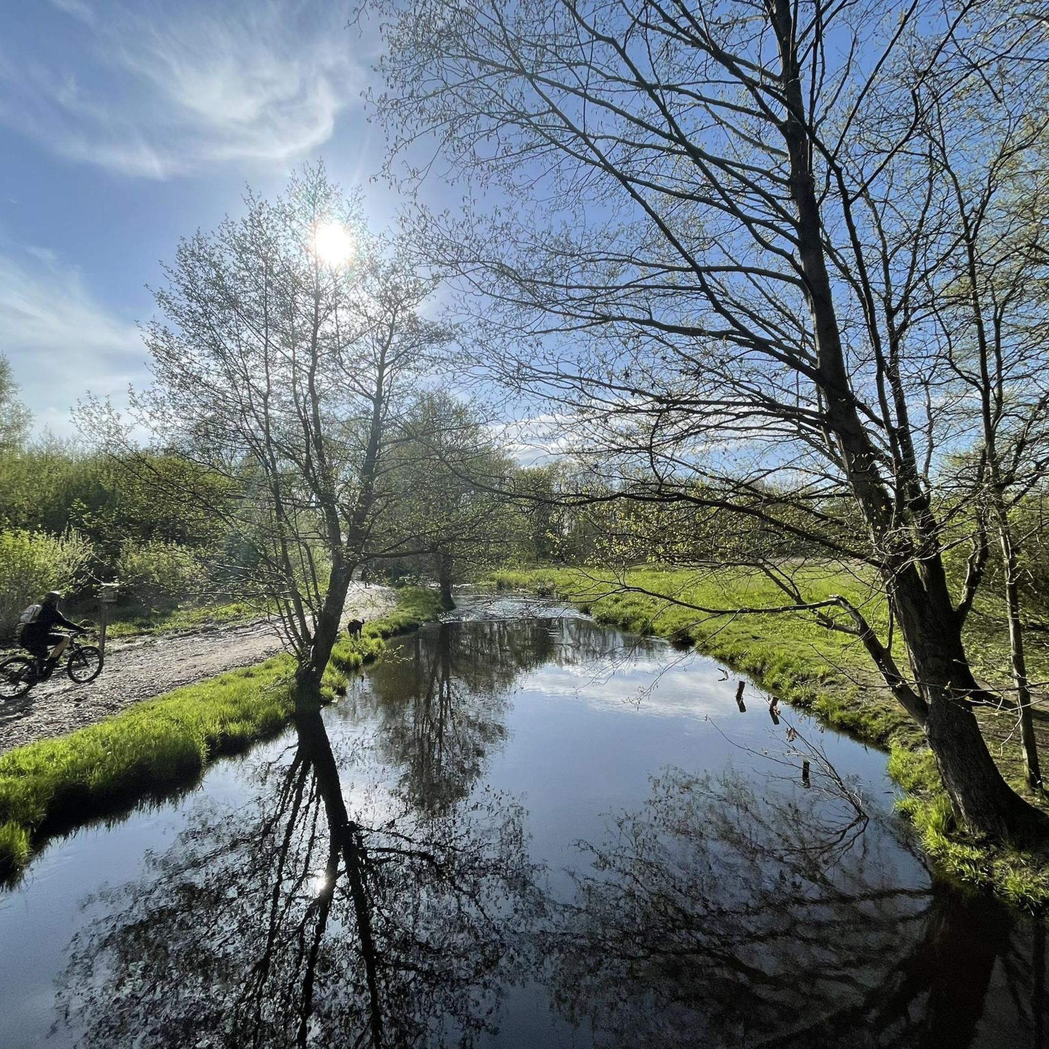
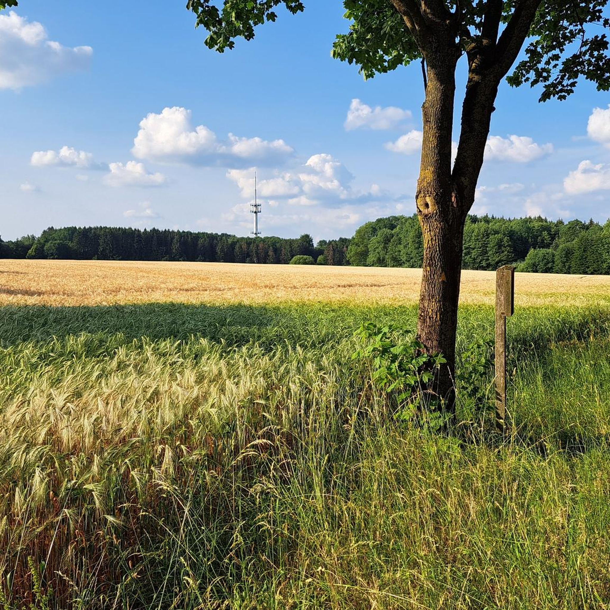
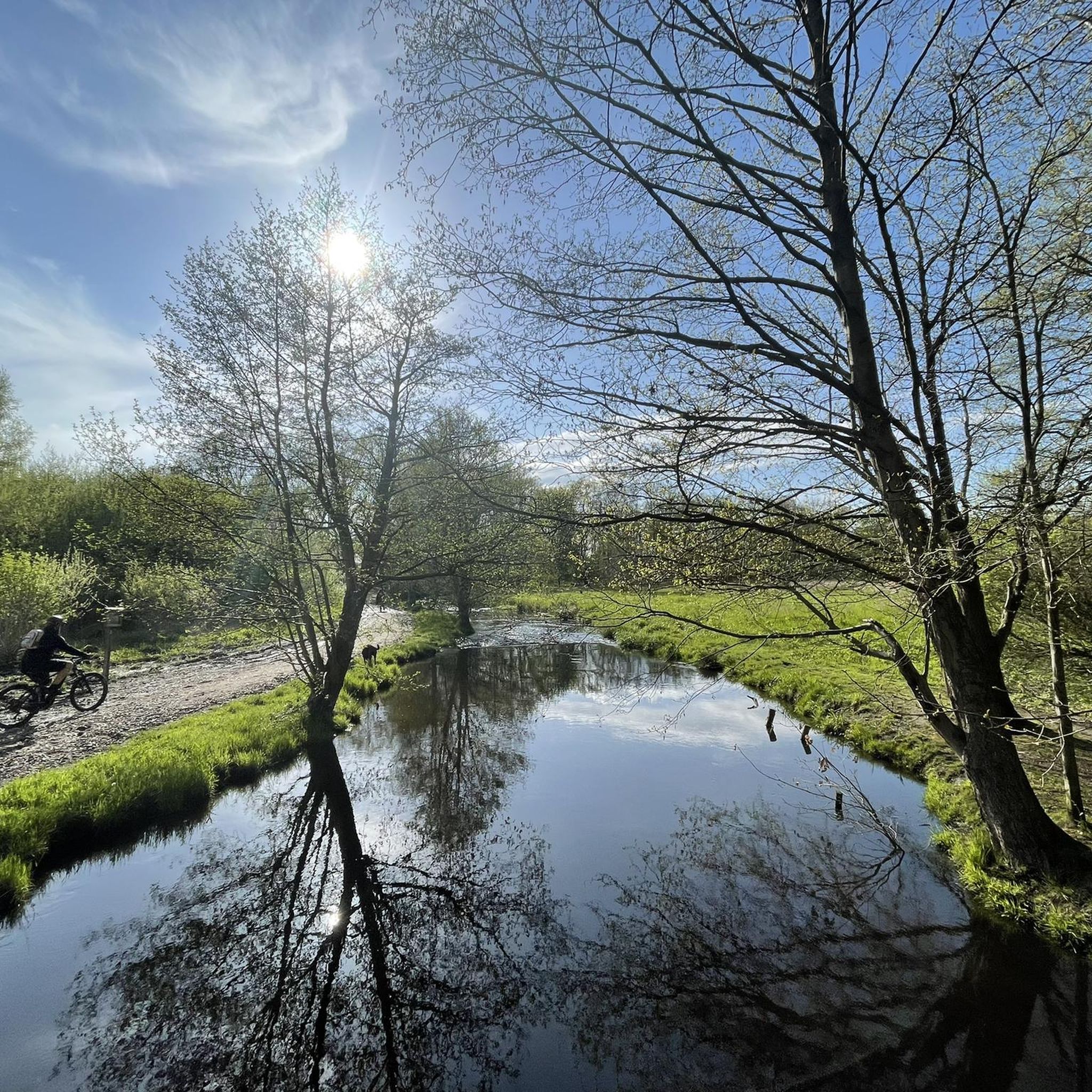
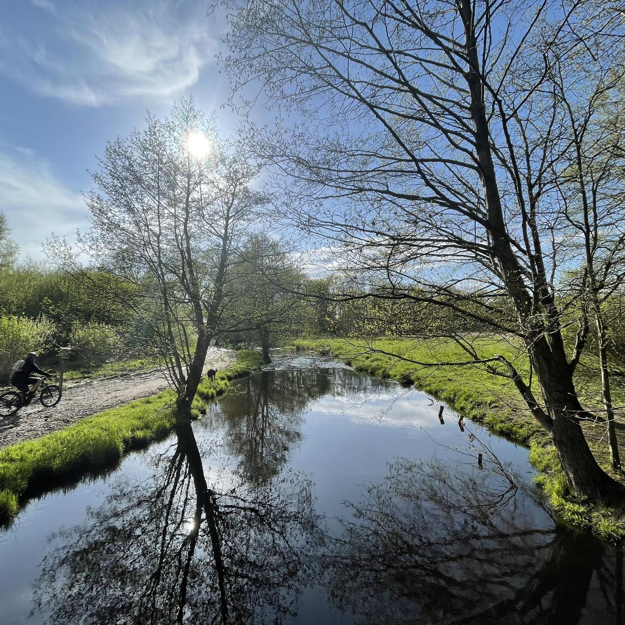
Tips from the Community

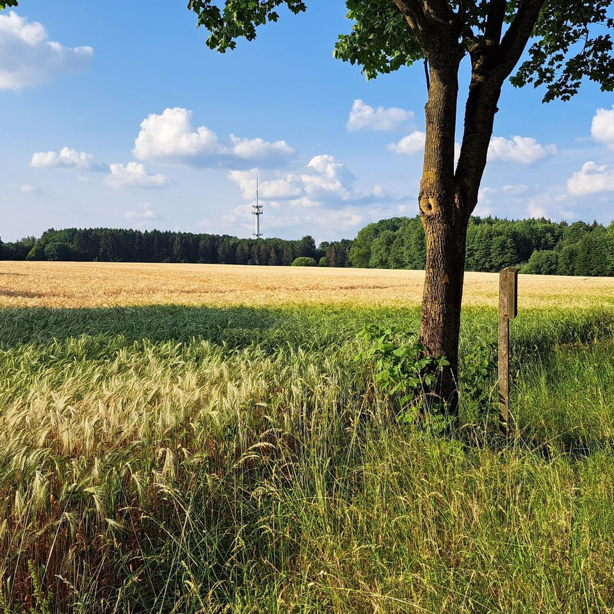
A summit can be so unspectacular 😃🍂
1
0

A great bench for a break at the Gauss Tower memorial on Litberg. Several seating options are available here.
6
0
At 65 meters above sea level, the Litberg is the highest elevation in the Stade district. The Gauß observation tower is located in the middle of the forest. Climbing 133 steps, you'll be rewarded with a magnificent view of the surrounding countryside. Plenty of benches invite you to linger, and there are swings for children.
6
1

A summit cross at a height of 58 meters reveals that people in the North German Plain also know how to have fun.
0
0
It is questionable whether this is the summit or just a survey point. A little further south there is a sign on a tree stating that this is the actual summit.
0
1

A small hill in the middle of the North German plain with historical importance. The Litberg is near Sauensiek, surrounded by Beckdorf and Goldbeck at a height of 65 meters above sea level. From the nearby country road, the first thing that catches your eye is the Gauss Tower standing on the mountain. It towers a few meters above the trees on the Litberg and, when visibility is good, you can see as far as Hamburg. But more on the view later. “Gauß-Turm” because the tower is named after Carl Friedrich Gauss. In 1821 Gauss was supposed to survey the Kingdom of Hanover and was faced with the problem of only having a few viewpoints available. The age of satellites had not yet begun and so Gauss had to make use of natural or artificial elevations to target further survey points.
3
1
The tower with a height of 25 meters offers a beautiful all-round view over the Geest landscape after the "ascent". The Moorburg coal-fired power plant, the Hamburg district of Blankenese and the Harburg mountains are clearly visible from here. A little side note for visitors with acrophobia, those who don't like "transparent" trellis steps will need to look ahead or up to the top level. The viewing platform itself is laid out with wooden planks and there is also a bench to sit on. If it is not too windy, you can enjoy the view very well.
4
1
Frequently Asked Questions
What kind of 'mountain peaks' can I expect to find around Hollenstedt?
Hollenstedt is located in a relatively flat region. The 'mountain peaks' here refer to elevated points, gentle rolling hills, and viewpoints within the scenic Lüneburg Heath, rather than traditional alpine mountains. These spots offer panoramic views over the heathland, forests, and unique natural landscapes.
Which elevated points offer the best views in the Hollenstedt area?
For expansive views, consider visiting the Brunsberg Summit and Heathland Panorama, which provides wonderful 360° panoramic views of the heath, Lohberge, and forests. Another excellent option is the Gauss Tower on the Litberg, where climbing 133 steps rewards you with a magnificent view of the surrounding countryside from the highest elevation in the Stade district.
Are there family-friendly elevated points or trails near Hollenstedt?
Yes, several spots are suitable for families. Little Brunsberg offers a nice resting place with views over the heath. The Gauss Tower on the Litberg has benches for breaks and swings for children. The Gauss Tower and Litberg Trail is also family-friendly, with a short walk from the parking lot to the summit and a picnic area.
What natural features can I see at these elevated points?
The elevated points around Hollenstedt are primarily characterized by the unique landscape of the Lüneburg Heath. You'll find extensive heath areas, forests, and moors. For example, at Little Brunsberg, the heath grows beautifully, and in season, you might even find blueberries.
Are there historical landmarks or man-made structures at these elevated points?
Yes, the Gauss Tower on the Litberg is a notable man-made monument and historical site. This observation tower allows visitors to climb for views. Additionally, the Summit Cross Halvesbostel (52.90 m a.s.l.) is another man-made structure marking an elevated point.
What outdoor activities can I do near the elevated points around Hollenstedt?
The region offers various outdoor activities. For hiking, you can explore trails like the 'Este West hiking trail' or 'Appelbecker See' loop. Cycling is also popular, with routes such as the 'Bötersheim Mill Pond' loop. The Brunsberg Summit and Heathland Panorama is particularly noted as a great mountain biking highlight. You can find more details on specific routes in our guides for Hiking around Hollenstedt and Cycling around Hollenstedt.
Are there easy hiking trails near these elevated points?
Yes, there are several easy hiking trails. For instance, the 'Wooden Bridge Over the Este – Este Viaduct near Hollenstedt' loop and the 'Waldsee – Narrow forest path at the Staersbach' loop are considered easy. You can find more options in our guide for Easy hikes around Hollenstedt.
What do visitors enjoy most about the elevated points around Hollenstedt?
Visitors frequently praise the panoramic views, especially from the Brunsberg Summit and the Gauss Tower. The peaceful natural environment of the Lüneburg Heath, the well-maintained paths, and the availability of resting places and picnic spots are also highly appreciated. The community has shared over 2000 photos and given more than 3000 upvotes for these locations.
Is there parking available near the elevated points?
Yes, for some locations, parking is conveniently available. For example, there is a parking lot nearby the Brunsberg Summit. The Gauss Tower and Litberg Trail is also only a few minutes' walk from a parking area.
What is the best time to visit the elevated points in the Hollenstedt region?
The Lüneburg Heath is particularly stunning during late summer (typically August and September) when the heather is in full bloom, creating a vibrant purple landscape. However, the forests and viewpoints offer beauty throughout the year, with pleasant conditions for hiking and cycling in spring and autumn. Even in winter, if there's snow, areas like the Litberg can be fun for tobogganing.
Can I find cafes or pubs near the hiking trails and elevated points?
While specific cafes or pubs directly at every elevated point are not guaranteed, the region around Hollenstedt and the Lüneburg Heath generally offers various dining options in nearby villages and towns. It's advisable to check local listings for establishments along your chosen route or in the closest communities.
Are dogs allowed on trails around the elevated points?
Generally, dogs are welcome on many trails in the Lüneburg Heath, but it's always recommended to keep them on a leash, especially in nature reserves, to protect wildlife and the delicate heathland ecosystem. Specific rules may vary, so look for signage at trailheads.
Most popular routes around Hollenstedt
Most popular attractions around Hollenstedt

Get inspired with the komoot mobile app


Explore more
See even more amazing summits around Hollenstedt with these guides:
