The best MTB trails around La Chaux-du-Milieu
4.3
(430)
3,148
riders
168
rides
Mountain biking around La Chaux-du-Milieu offers routes through the Jura mountains, characterized by rolling hills, dense forests, and open pastures. The region's terrain provides a mix of ascents and descents, suitable for various skill levels. Trails often traverse wooded areas and offer views of the surrounding valleys. The landscape is shaped by its elevation, providing varied conditions for mountain biking.
Best mountain bike trails around La Chaux-du-Milieu
- The most popular mountain bike trail is Bear Cave – Rupiger singletrack loop…
Last updated: October 10, 2026
5.0
(1)
67
riders
18.6km
01:44
370m
370m
Moderate mountain bike ride. Good fitness required. Advanced riding skills necessary.
4.0
(2)
22
riders
Moderate mountain bike ride. Good fitness required. Advanced riding skills necessary.

27
riders
Moderate mountain bike ride. Good fitness required. Suitable for all skill levels.
5.0
(2)
13
riders
Hard mountain bike ride. Very good fitness required. Suitable for all skill levels.
13
riders
Moderate mountain bike ride. Good fitness required. Suitable for all skill levels.
Get access to more routes and recommendations from other explorers.
Already have an account?
Our route recommendations are based on thousands of hikes, rides, and runs completed by other people on komoot.
Start today with a free account
Your next adventure awaits.
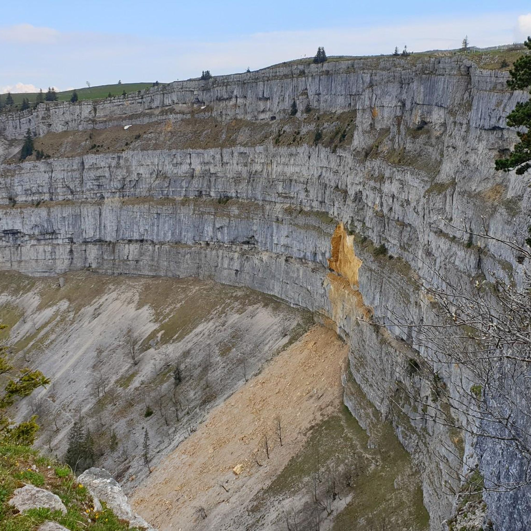
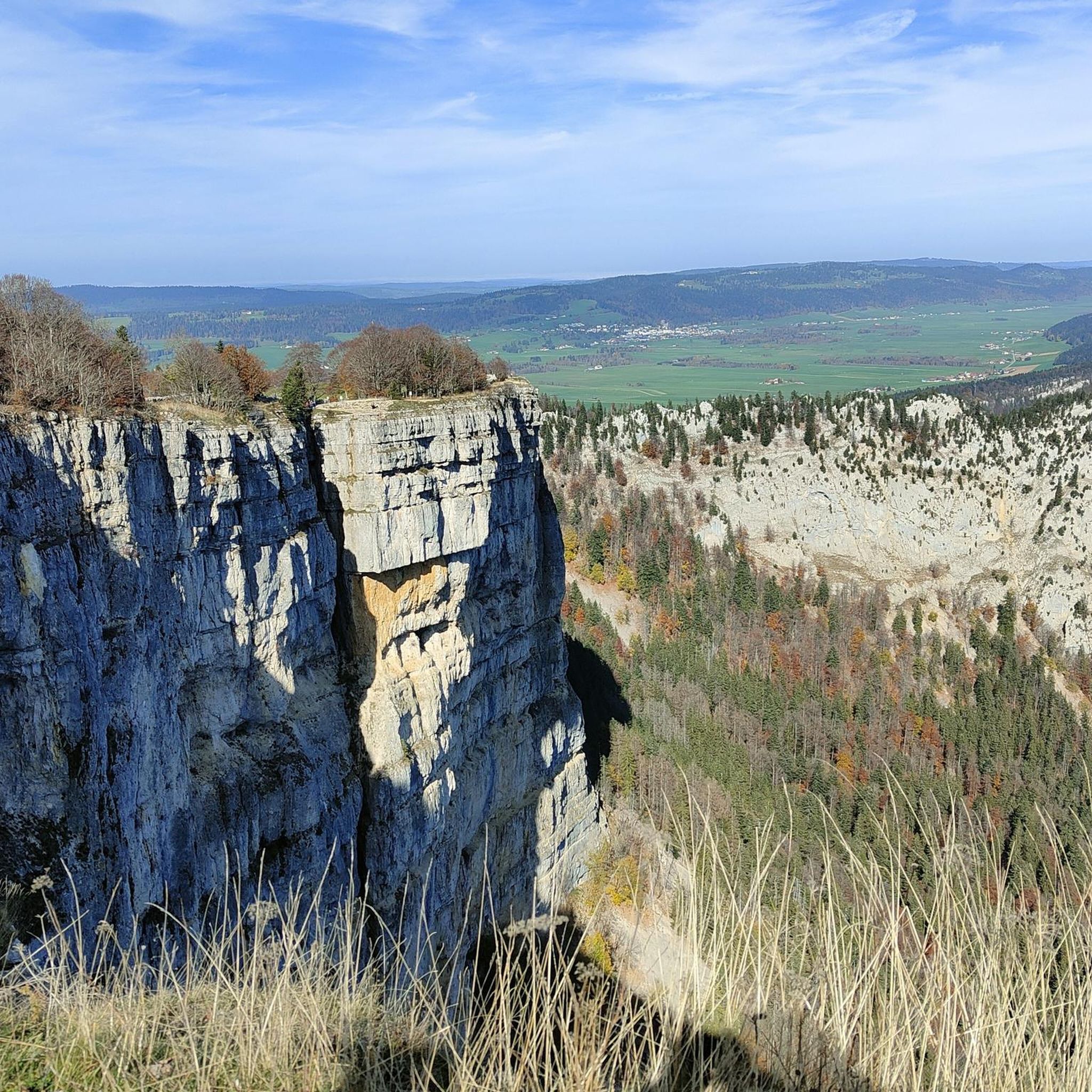
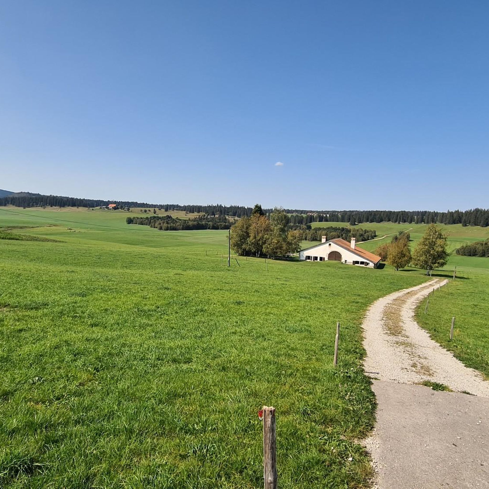
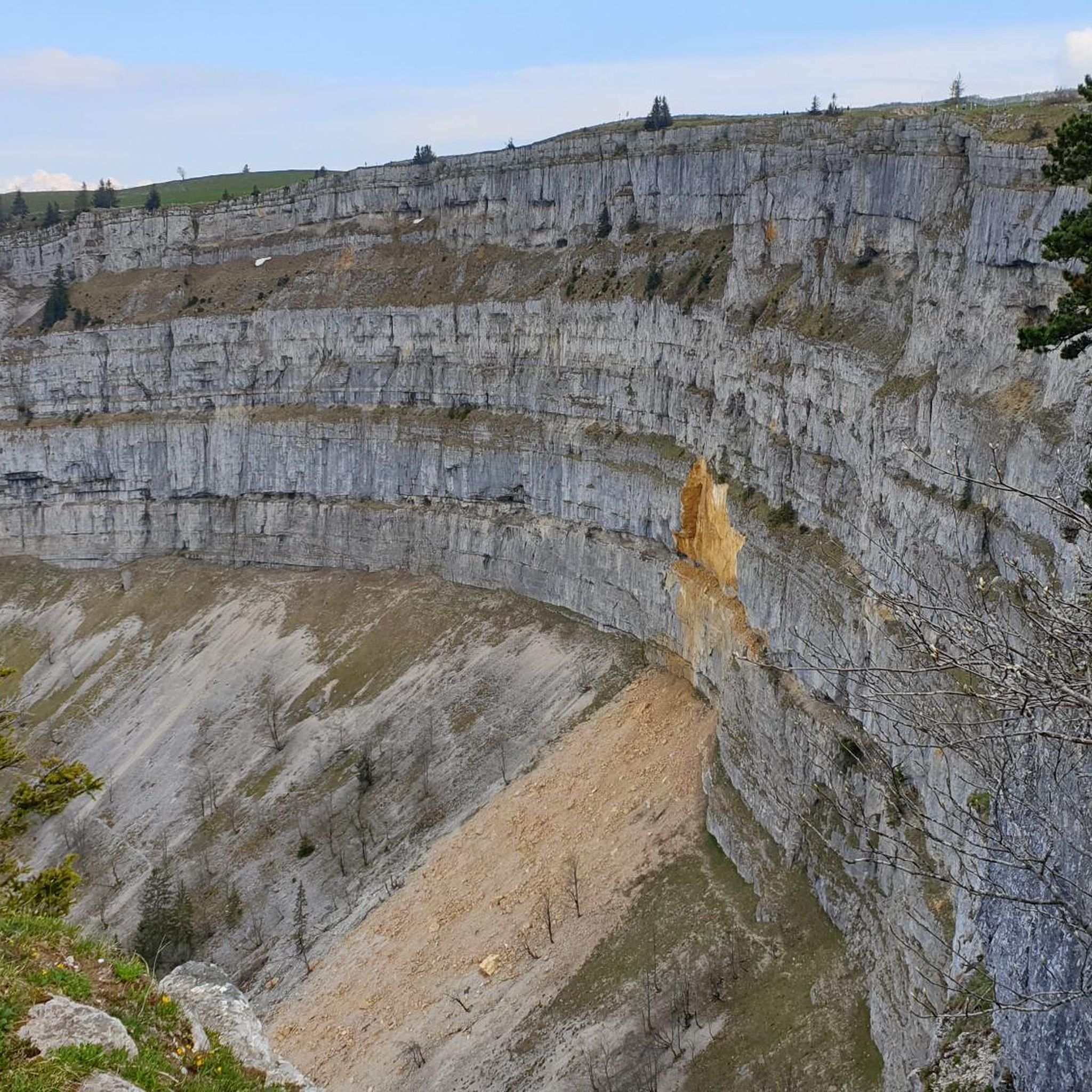
Tips from the Community

Perfect hut for a snack or a meal
0
0

The redesign of the square has been successful. The CdF has gained in recent years.
0
0

Varied tour with magnificent view of the Alps at La Pinte de la Petite Joux.
0
0

If you're looking for a fun break from your run in the Swiss Jura, you can visit the Grotte de l'Ours, near Ponts-de-Martel. This is not a deep cave, but rather a large rock formation with several holes that you can explore. The cave is located in a beautiful little gorge, the Combe Poëta, and the path leading there is already an attraction in itself. You can admire the forest, streams and peat bogs all along the way.
2
0
The Grand Sommartel is a summit of the Jura chain, with an altitude of 1,337 meters and a prominence of 211 meters. It is the highest point of the anticline which separates the towns of Ponts-de-Martel and Le Locle. From the summit, you benefit from a panoramic view of Val-de-Ruz and the Chasseral Regional Park. The summit is accessible by hiking trails from different directions.
2
0
This family-run inn offers delicious regional dishes, homemade bread and pastries, as well as a dormitory for 16 people with showers and toilets. You can enjoy the view of the green meadows and the sunset from the terrace, or explore the surrounding trails that lead to the top of the Grand Sommartel, the Chalet de Roche-Claire or the Petite Joux restaurant.
2
0

Nice stopover, it's here that you can disturb a little blue (green fairy)
1
0

Le Communale de la Sagne. Beautiful 5000m for biking, hiking or picnicking
0
1
Frequently Asked Questions
How many mountain bike trails are available around La Chaux-du-Milieu?
There are nearly 180 mountain bike trails around La Chaux-du-Milieu, offering a wide range of options for different skill levels and preferences.
Are there easy mountain bike trails suitable for beginners in La Chaux-du-Milieu?
Yes, La Chaux-du-Milieu offers a selection of easy mountain bike trails. You can find 25 routes specifically graded as easy, perfect for those new to mountain biking or looking for a relaxed ride.
What is the best time of year for mountain biking in La Chaux-du-Milieu?
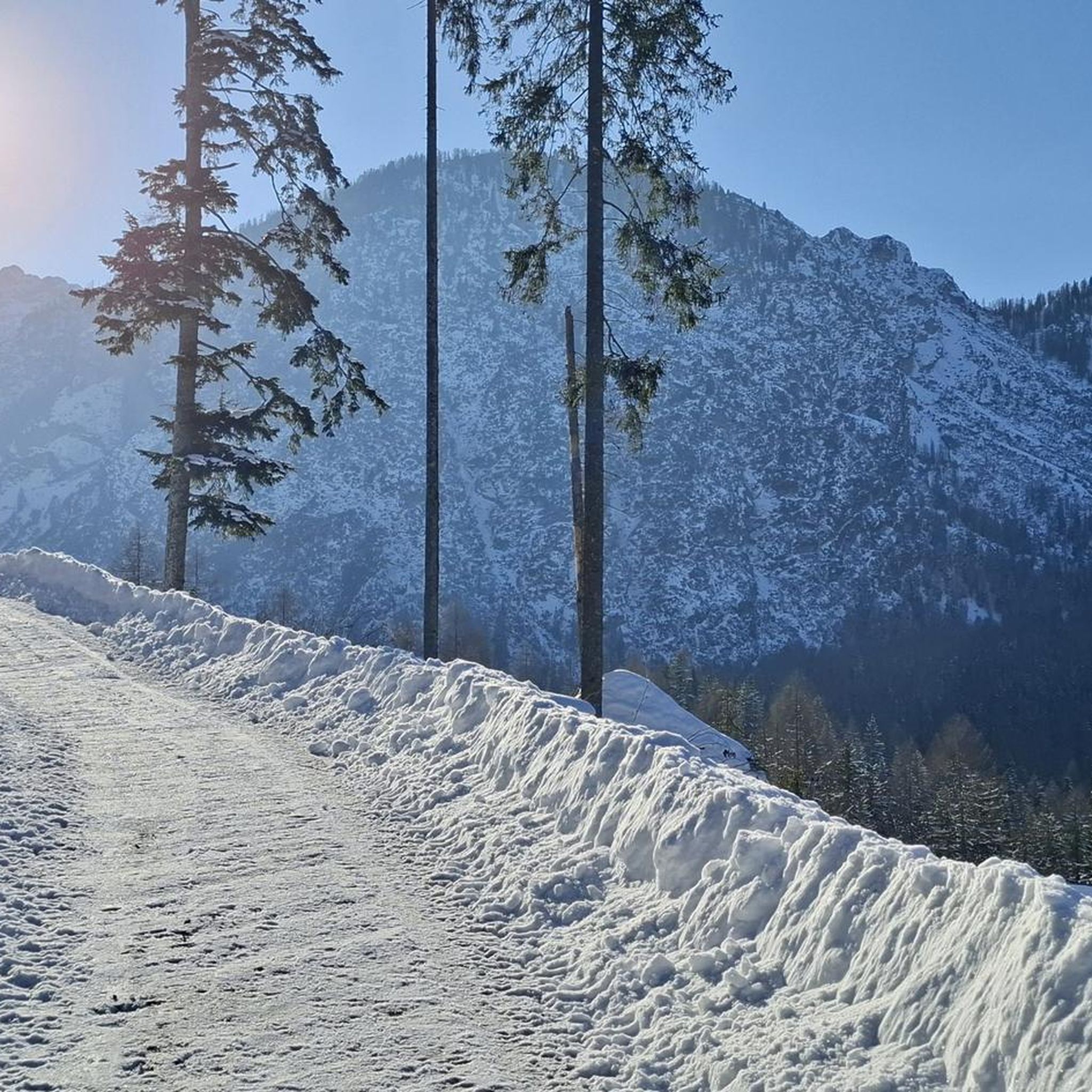
The Jura mountains around La Chaux-du-Milieu are generally best for mountain biking from spring through autumn. During these seasons, trails are typically clear of snow, and the weather is more favorable. Winter riding can be challenging due to snow and ice, though some lower elevation paths might be accessible depending on conditions.
Are there any family-friendly mountain bike trails in the area?
While specific 'family-friendly' designations aren't always explicit, many of the easy and moderate trails around La Chaux-du-Milieu are suitable for families with some biking experience. Look for routes with less elevation gain and smoother surfaces for a more enjoyable family outing.
What kind of terrain can I expect on mountain bike trails in La Chaux-du-Milieu?
The terrain around La Chaux-du-Milieu is characterized by rolling hills, dense forests, and open pastures typical of the Jura mountains. You'll encounter a mix of ascents and descents, varied singletrack sections, and paths through wooded areas and marshlands.
Are there any circular mountain bike routes in La Chaux-du-Milieu?
Yes, many mountain bike trails in the region are designed as loops, allowing you to start and finish at the same point. Examples include the Auberge du Grand-Sommartel – Auberge du Grand-Sommartel loop from Le Locle-Col-des-Roches, which offers a substantial ride through varied landscapes.
What do other mountain bikers say about the trails in La Chaux-du-Milieu?
The mountain bike trails in La Chaux-du-Milieu are highly rated by the komoot community, with an average score of 4.3 stars from over 300 reviews. Riders often praise the varied terrain, the scenic views of the surrounding valleys, and the well-maintained singletrack sections.
Are there any advanced mountain bike routes for experienced riders?
Yes, for experienced riders seeking a challenge, there are 35 difficult mountain bike routes available. These trails typically feature more significant elevation changes, technical sections, and longer distances, such as the Tourbière des Ponts-de-Martel – Bahnhofplatz La Chaux-de-Fonds loop from Le Stand, which covers over 56 km.
Are there viewpoints or natural attractions along the mountain bike trails?
Yes, the region offers several natural attractions and viewpoints. You can find stunning vistas like the View from Rocher des Tablettes or explore impressive natural features such as the Saut du Doubs Waterfall. Many trails pass through areas with scenic overlooks of the Jura landscape.
What is the typical length and duration of mountain bike trails in La Chaux-du-Milieu?
Trail lengths vary significantly. For example, the Bear Cave – Rupiger singletrack loop from Les Ponts-de-Martel is about 18.7 km (11.6 miles) and takes around 1 hour 46 minutes, while longer routes like the Auberge du Grand-Sommartel – Auberge du Grand-Sommartel loop from Les Ponts-de-Martel stretch to 28.9 km (18.0 miles) and can take over 2 hours 45 minutes.
Are there places to eat or cafes near the mountain bike trails?
Yes, you'll find various auberges and restaurants in the villages and along some routes, offering opportunities to refuel. For instance, the Restaurant Le Soliat is located near a popular summit and can be a great stop during your ride.
Most popular routes around La Chaux-du-Milieu
Most popular attractions around La Chaux-du-Milieu

Get inspired with the komoot mobile app


Explore more
Browse the best MTB trails in other regions.
