The 4 Most Amazing Peaks around Neuhardenberg
Mountain peaks around Neuhardenberg are characterized by the region's generally flat topography, with the municipality itself having an average elevation of 10 to 22 meters. While conventional mountains are absent, the broader Brandenburg state features elevated areas, often referred to as hills, that provide opportunities for exploration. These include points like the Kutschenberg at 201 meters and the Hagelberg at 200 meters, which are the highest points in Brandenburg. The area around Neuhardenberg offers various elevated viewpoints and summits within…
Last updated: June 29, 2026
View from Dachsberg
Highlight • Viewpoint
Translated by Google •
Tip by

Jenashöhe
Highlight • Summit
Translated by Google •
Tip by

Sign up now to discover places like this
Get recommendations on the best single tracks, peaks, & plenty of other exciting outdoor places.
Sign up for free
Jenshöhe (109 m) – Poets' Trail
Highlight (Segment) • Summit
Translated by Google •
Tip by

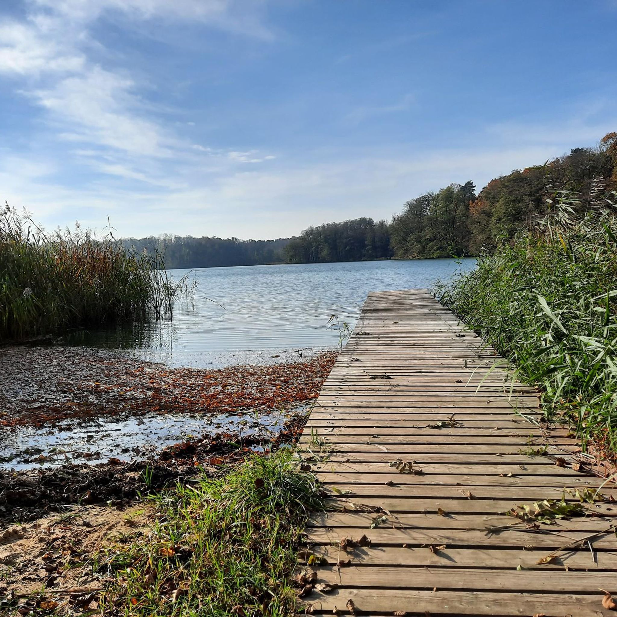
View of Kleiner Weesenberg
Highlight • Viewpoint
Translated by Google •
Tip by

Start today with a free account
Your next adventure awaits.
Login or Signup
Other adventures around Neuhardenberg

Tips from the Community

Small root on the way but everything is mobile 🚴♂️
0
0

For Jenashöhe in comparison to surrounding elevations https://de.m.wikipedia.org/wiki/Jenash%C3%B6he
0
0

The small (88 m above sea level) and the large Weesenberg (91 m above sea level, also Wesenberg) are located on a ridge south of Grunow and above the Sophienfißes. From the south there is also a path up to the Kleiner Weesenberg. A residential area belonging to Grunow around the Waldhaus Grunow, consisting of dachas and bungalows, has developed in the "gorge" between the two mountains.
0
0

The forest in Märkische Schweiz is just beautiful. You can go hiking or biking there. One or the other tree can get in the way.
1
0


By Brandenburg standards, this is a beautiful and in places more demanding mountain bike ascent, which gets a little steeper towards the end. Unfortunately, there are some transverse trees from storm damage, which means that you often have to get off and sometimes have to push on because the climb is too steep to start again.
1
0

mighty elevation of 110.9 m in the Märkische Schweiz nature park
3
0

Here you can take a break and enjoy the view.
6
2
Frequently Asked Questions
What kind of elevated points or 'peaks' can I expect to find around Neuhardenberg?
Neuhardenberg is located in a generally flat region. The 'peaks' in this area are primarily low hills and elevated viewpoints, mostly found within the nearby Märkische Schweiz nature park. These offer scenic perspectives rather than challenging mountain climbs.
What are some popular viewpoints or elevated spots to visit near Neuhardenberg?
One of the most popular spots is the View from Dachsberg, which offers impressive panoramic views over Märkische Schweiz, including Dornberg, Jenashöhe, and Silberberg. Another notable elevated point is Jenashöhe, reaching 110.9 meters within the nature park.
Are there any family-friendly elevated points or trails around Neuhardenberg?
Yes, the View from Dachsberg is considered family-friendly. It provides a great view of the countryside and has a protection mushroom with seating and information boards, making it suitable for a family outing.
Where can I find forested areas for hiking or biking on elevated terrain?
The Jenshöhe (109 m) – Poets' Trail is located within a beautiful forested area in Märkische Schweiz. It's known for its environment suitable for both hiking and biking, though some sections might be more demanding with occasional obstacles like fallen trees.
What are the highest points in the broader Brandenburg state, even if not directly in Neuhardenberg?
While Neuhardenberg itself is flat, the state of Brandenburg does have higher elevations. The highest point is the Kutschenberg at 201 meters above sea level, followed by the Hagelberg at 200 meters. These are recognized as the highest hills in Brandenburg, though they are not located within the Neuhardenberg municipality.
What outdoor activities can I do near these elevated points around Neuhardenberg?
The region offers various outdoor activities. You can explore easy hikes, such as the 'Birdwatching tower – Monastery Lake (Altfriedland) loop' or the 'Herb Garden – Old Dead Oak loop'. For cycling enthusiasts, there are numerous road cycling routes and MTB trails available. You can find more details on these activities in the Easy hikes around Neuhardenberg, Road Cycling Routes around Neuhardenberg, and MTB Trails around Neuhardenberg guides.
Are there specific hiking trails near the elevated points in Märkische Schweiz?
Yes, many of the elevated points like Jenashöhe are part of hiking trails within the Märkische Schweiz nature park. For example, a hike from the parking lot near Buckow can lead you steeply up to Jenashöhe. You can find more hiking options in the Easy hikes around Neuhardenberg guide.
What do visitors particularly enjoy about the elevated spots around Neuhardenberg?
Visitors appreciate the impressive views over the hilly landscape of Märkische Schweiz, especially from viewpoints like Dachsberg. The beautiful forested environments, such as those around Jenshöhe, are also highly valued for hiking and biking. The unique geological formations left by the last ice age, creating lakes and interesting terrain, are also a highlight.
Is there a specific viewpoint that offers a good perspective of the local landscape?
The View of Kleiner Weesenberg, located south of Grunow, provides a good perspective of the surrounding area, including the ridge where the Kleiner and Großer Weesenberg are situated. It's a modest elevation at 88 meters above sea level.
What is the best time of year to visit the elevated points and nature areas around Neuhardenberg?
The region is generally pleasant for outdoor activities from spring through autumn. Spring brings blooming nature, while autumn offers beautiful foliage. Summer is also suitable, but it's always advisable to check local weather conditions. Winter hiking is possible, but trails might be slippery or covered in snow.
Are dogs allowed on the trails around the elevated points in Märkische Schweiz?
Generally, dogs are welcome on trails in nature areas like Märkische Schweiz, but they should be kept on a leash to protect wildlife and ensure the safety of other visitors. Always check specific local regulations or signage within the nature park for any particular restrictions.
Most popular routes around Neuhardenberg
Most popular attractions around Neuhardenberg

Get inspired with the komoot mobile app


Explore more
See even more amazing summits around Neuhardenberg with these guides:
