The 4 Most Amazing Peaks around Nastätten
Best mountain peaks around Nastätten are found in the Rhein-Lahn-Kreis district of Rhineland-Palatinate, Germany. The municipality of Nastätten is situated at an elevation of approximately 280 meters, with the highest point within its topographic map reaching 405 meters. The surrounding region offers various elevated points and viewpoints, providing scenic vistas and hiking opportunities. These locations, while not alpine peaks, offer significant elevation gains and panoramic views of the diverse landscape.
Best mountain peaks around Nastätten
- The most popular mountain peaks…
Last updated: June 28, 2026
Grauer Kopf Summit Cross
Highlight • Summit
But a nice starting point with a summit book to sign up.
Translated by Google •
Tip by

Mappershainer Kopf (548 m)
Highlight • Summit
Translated by Google •
Tip by

Sign up now to discover places like this
Get recommendations on the best single tracks, peaks, & plenty of other exciting outdoor places.
Sign up for free
Weißler Höhe summit marker
Highlight • Summit
Translated by Google •
Tip by

Summit cross with a view of Jammertal
Highlight • Summit
Translated by Google •
Tip by

Küppel
Highlight • Mountain Hut
Showing Translation
Tip by

Start today with a free account
Your next adventure awaits.
Login or Signup
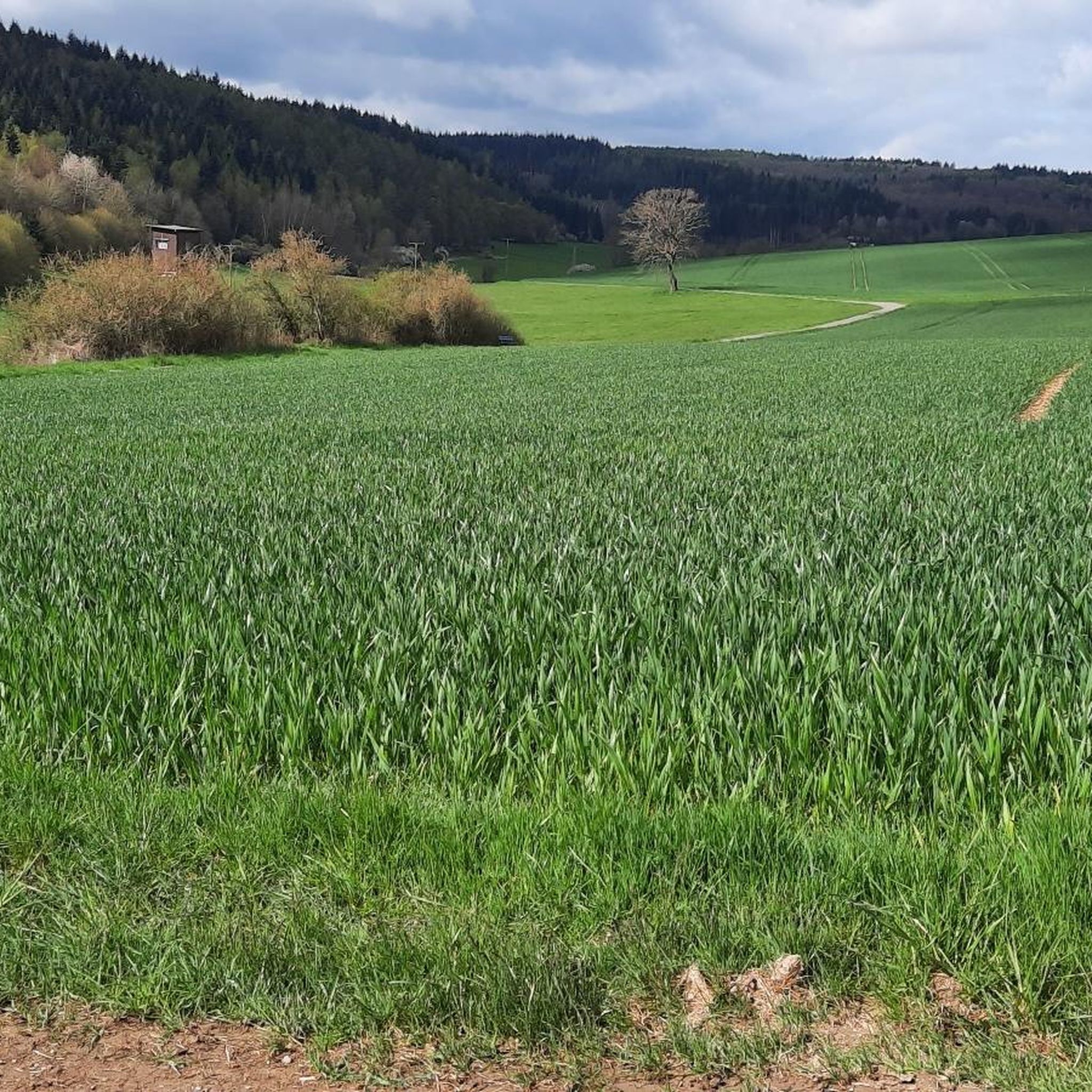
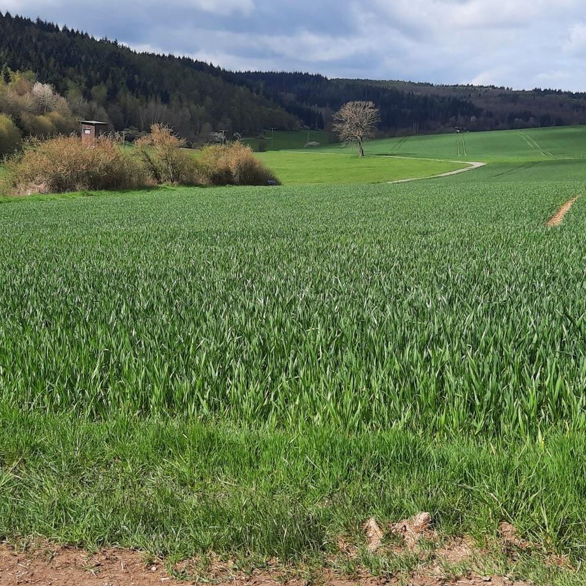
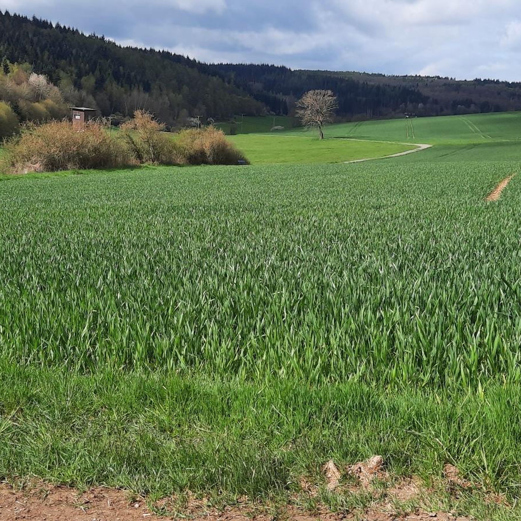
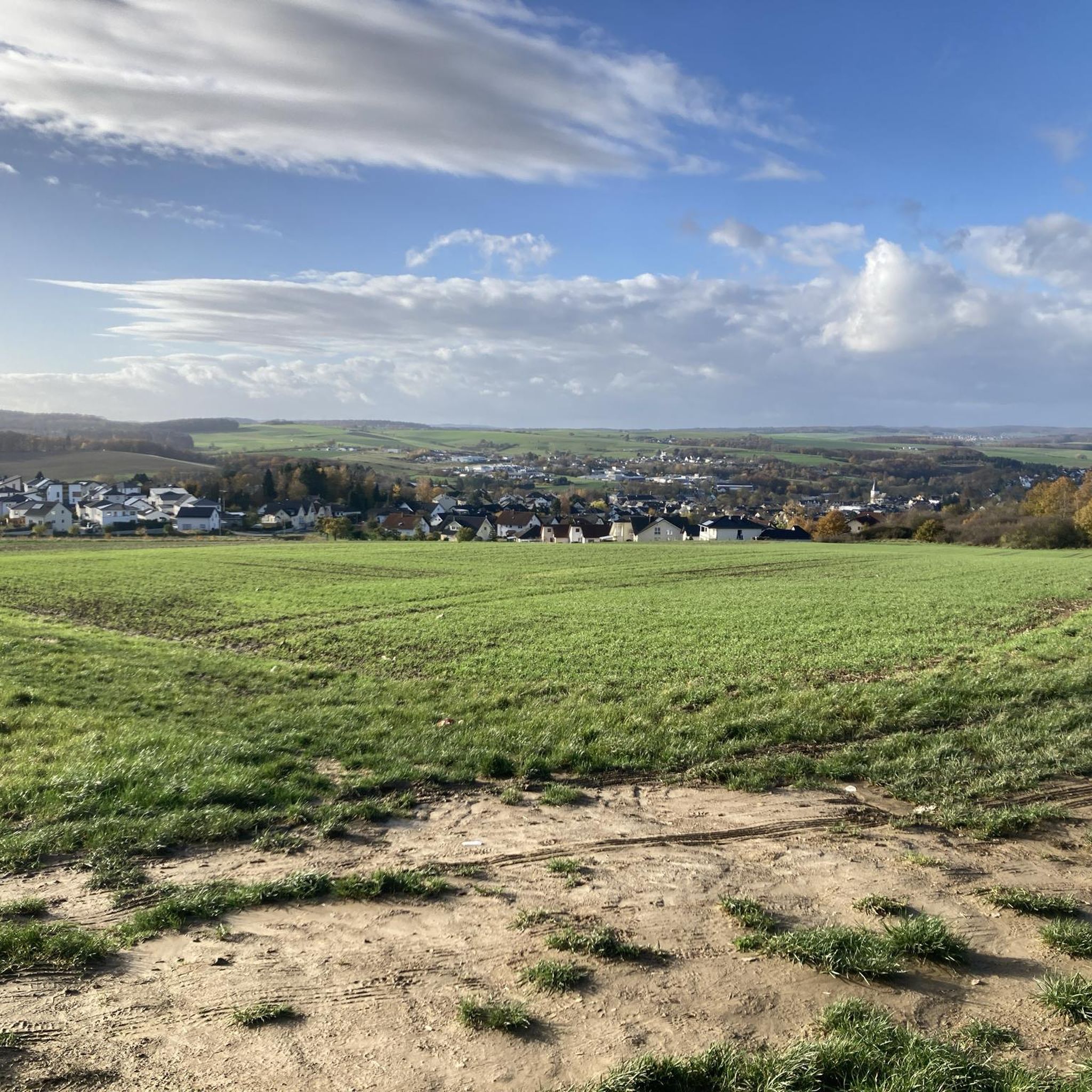
Tips from the Community

Spacious shelter. The view inside the hut itself is not breathtaking, but a few steps away it is all the more beautiful.
0
0

A nice destination to drive to.
0
0

The highest elevation in the western Taunus Mountains. The old postal road to Wiesbaden passes through here.
1
0

The second highest mountain in the western Hintertaunus is crowned by a summit cross. Greetings can be left in the summit book. There is also a TP stone right next to the cross.
0
0

The Weißler Höhe summit is at a crossroads in the forest and is marked with a summit stone at an altitude of 456m above sea level
2
0


A summit cross stop .. 😁 But a nice starting point with a summit book to sign up.
2
0

Holiday feeling right on the doorstep
0
0
Frequently Asked Questions
What are some of the most rewarding mountain peaks to visit around Nastätten?
For panoramic views and a sense of accomplishment, consider visiting Grauer Kopf Summit Cross, which even has a summit book for hikers to sign. Another excellent choice is Mappershainer Kopf (548 m), the highest elevation in the western Taunus, offering expansive views. The Summit cross with a view of Jammertal provides a challenging ascent with a magnificent vista over the Jammertal.
Are there family-friendly mountain peaks or viewpoints suitable for all ages near Nastätten?
While many peaks offer intermediate trails, the Küppel features a spacious shelter and is categorized as family-friendly, making it a good option for a relaxed outing. Additionally, the Hollerberg Lookout, mentioned in regional research, provides pleasant elevations and beautiful panoramic views of Nastätten and the Mühlbach Valley, suitable for extended walks with family.
What kind of views can I expect from the peaks around Nastätten?
The peaks and viewpoints around Nastätten offer diverse scenic beauty. From Grauer Kopf Summit Cross, you'll find rewarding surroundings. Mappershainer Kopf (548 m) provides expansive views of the western Taunus. For truly breathtaking panoramas, the Wackenberghütte Viewpoint offers magnificent vistas of St. Goar, Rheinfels Castle, and the picturesque Rhine Valley, while the Felsenkanzel Viewpoint overlooks the legendary Loreley rock and the Rhine towards Oberwesel.
Are there any historical sites or points of interest near these mountain peaks?
Yes, the region combines natural beauty with historical significance. The historic "Alte Poststraße" (Old Post Road) to Wiesbaden passes by Mappershainer Kopf (548 m), adding a touch of history to your visit. Further afield in the UNESCO World Heritage Upper Middle Rhine Valley, easily accessible from Nastätten, you can find historic sites like Rheinfels Castle and the Loreley rock near various viewpoints.
What outdoor activities can I do near the mountain peaks around Nastätten?
Beyond hiking to the peaks, the area offers a variety of outdoor activities. You can explore numerous cycling routes, such as those found in the Cycling around Nastätten guide, which includes routes with views of castles like Katz Castle. For mountain biking enthusiasts, there are routes like the "Grauer Kopf (543 m) – Roman Fort Nassau loop" detailed in the Traffic-free bike rides around Nastätten guide.
Are there challenging hiking trails to reach the peaks?
Yes, some peaks offer more demanding routes. The ascent to the Summit cross with a view of Jammertal, for instance, involves a narrow, steep, and partially exposed path, recommended only in dry conditions for sure-footed and fit hikers. This highlight is categorized as challenging, providing a rewarding experience for advanced hikers.
What do visitors enjoy most about the mountain peaks and viewpoints in this region?
Visitors frequently highlight the stunning panoramic views and the sense of achievement from reaching the summits. Many appreciate the opportunity to sign summit books, as seen at Grauer Kopf Summit Cross. The combination of natural beauty, well-maintained trails, and the peaceful forest environment is also a common theme, with some describing it as a 'holiday feeling right on the doorstep'.
Are there any less-known or 'hidden gem' peaks worth exploring?
While popular spots are well-trodden, the Weißler Höhe summit marker is a less prominent summit located at a crossroads in the forest. It offers a quiet, marked peak at 456m above sea level, providing a peaceful experience away from more crowded areas.
What is the best time of year to hike the mountain peaks around Nastätten?
While specific recommendations vary, spring and autumn generally offer the most pleasant hiking conditions with mild temperatures and beautiful foliage. Summer can also be enjoyable, especially in forested areas providing shade. Winter hiking is possible, but some paths, like the steep ascent to the Summit cross with a view of Jammertal, may require dry conditions and extra caution due to potential ice or mud.
Can I find circular hiking routes that include these peaks?
Many of the trails leading to these peaks can be incorporated into circular routes. For example, the Hollerberg Lookout serves as an excellent starting point for extended walks that can be planned as loops. Komoot's route planning tools can help you design circular routes that include specific peaks or viewpoints, allowing you to start and end at the same location.
Are there options for mountain biking near the peaks?
Yes, the region offers several mountain biking opportunities. You can find various routes, including those that pass near or through areas with elevated points. For instance, the Traffic-free bike rides around Nastätten guide includes routes like the "Grauer Kopf (543 m) – Roman Fort Nassau loop from Ergeshausen," which offers a moderate difficulty mountain bike experience.
Most popular routes around Nastätten
Most popular attractions around Nastätten

Get inspired with the komoot mobile app


Explore more
See even more amazing summits around Nastätten with these guides:
