The 5 Most Amazing Peaks around Stadtbergen
Best mountain peaks around Stadtbergen are characterized by elevated points and scenic views within a charming landscape. Stadtbergen, located in the district of Augsburg, Bavaria, Germany, sits at an elevation of 481 meters. The area provides hilly terrain and short ascents within the Westliche Wälder Nature Park, suitable for hiking. While not traditional mountain peaks, these elevated areas offer local recreation and panoramic vistas.
Best mountain peaks around Stadtbergen
- The most popular mountain peaks is Ulrichshöhe Königsbrunn, a viewpoint…
Last updated: June 28, 2026
Bismarck Tower, Augsburg
Highlight • Monument
Translated by Google •
Tip by

Monte Scherbelino (Augsburg Rubbish Hill)
Highlight • Viewpoint
November to March 8 a.m. to 4 p.m.
April to October 8 a.m. to 6 p.m.
Translated by Google •
Tip by

Sign up now to discover places like this
Get recommendations on the best single tracks, peaks, & plenty of other exciting outdoor places.
Sign up for free
Ulrichshöhe Königsbrunn
Highlight • Viewpoint
Translated by Google •
Tip by

Trail to Sulzkopf
Highlight • Trail
Translated by Google •
Tip by

Start today with a free account
Your next adventure awaits.
Login or Signup
Other adventures around Stadtbergen

Tips from the Community

The Sulzkopf, west of Bergheim in the "Rauher Forst", is barely visible in the forest area at 558 metres above sea level. Nevertheless, it is the highest point in Augsburg.
0
0


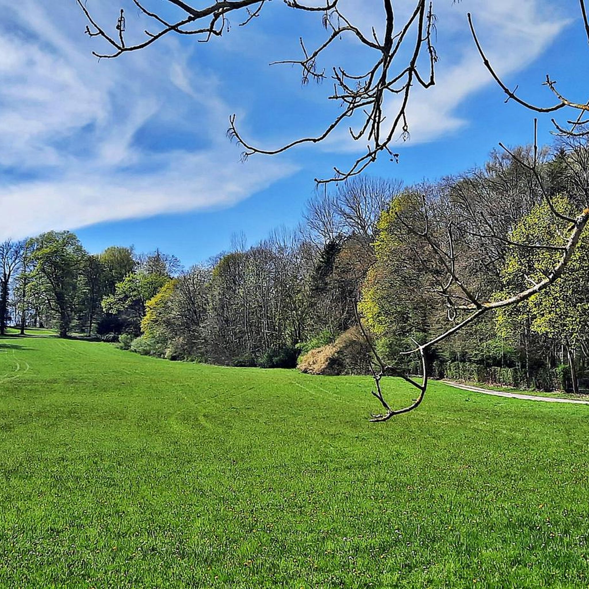
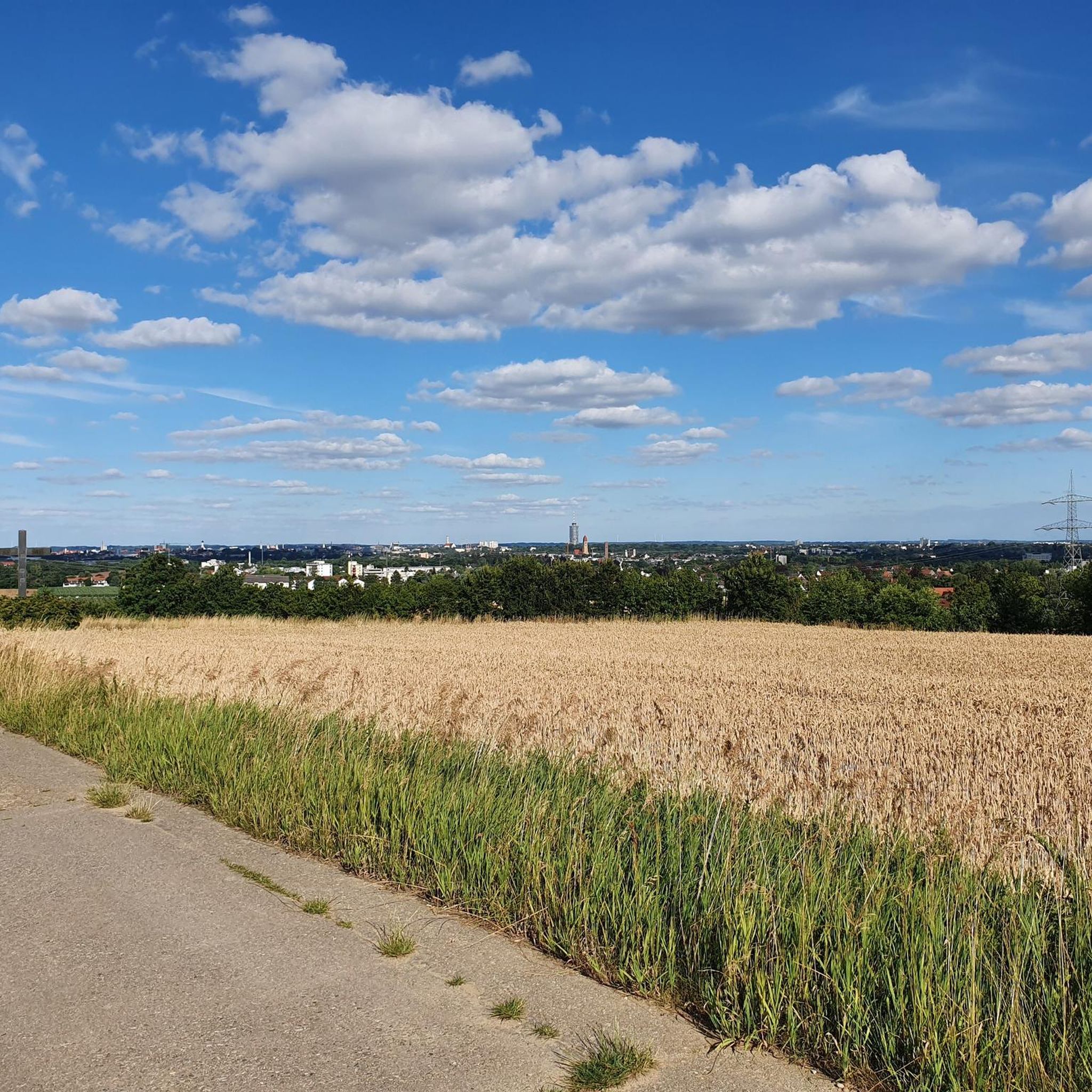
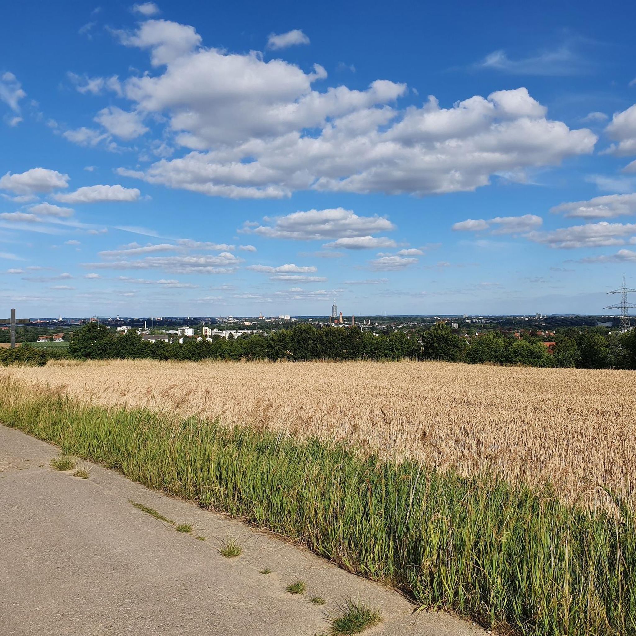
The Ulrichshöhe is an artificial hill for viewing and tobogganing in the west of the city of Königsbrunn. It was heaped up from 2004 with the gravel excavated during the renaturation of the Wertach and with overburden from the construction of the FCA stadium. The ascent takes place on a wide path that runs around the hill. At the top there is a good panoramic view over the city of Königsbrunn, in the north to Augsburg, in the south to the Alps in good weather.
4
0

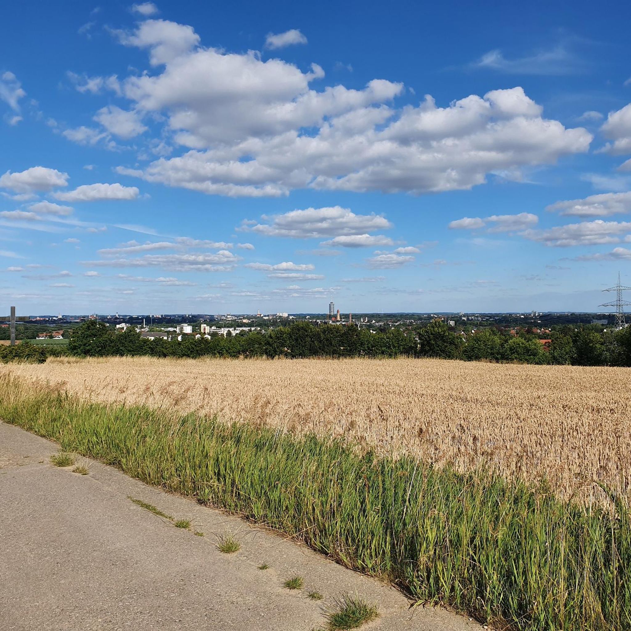
one of the elevations in the Augsburg area with a view over Augsburg to Friedberg
1
0

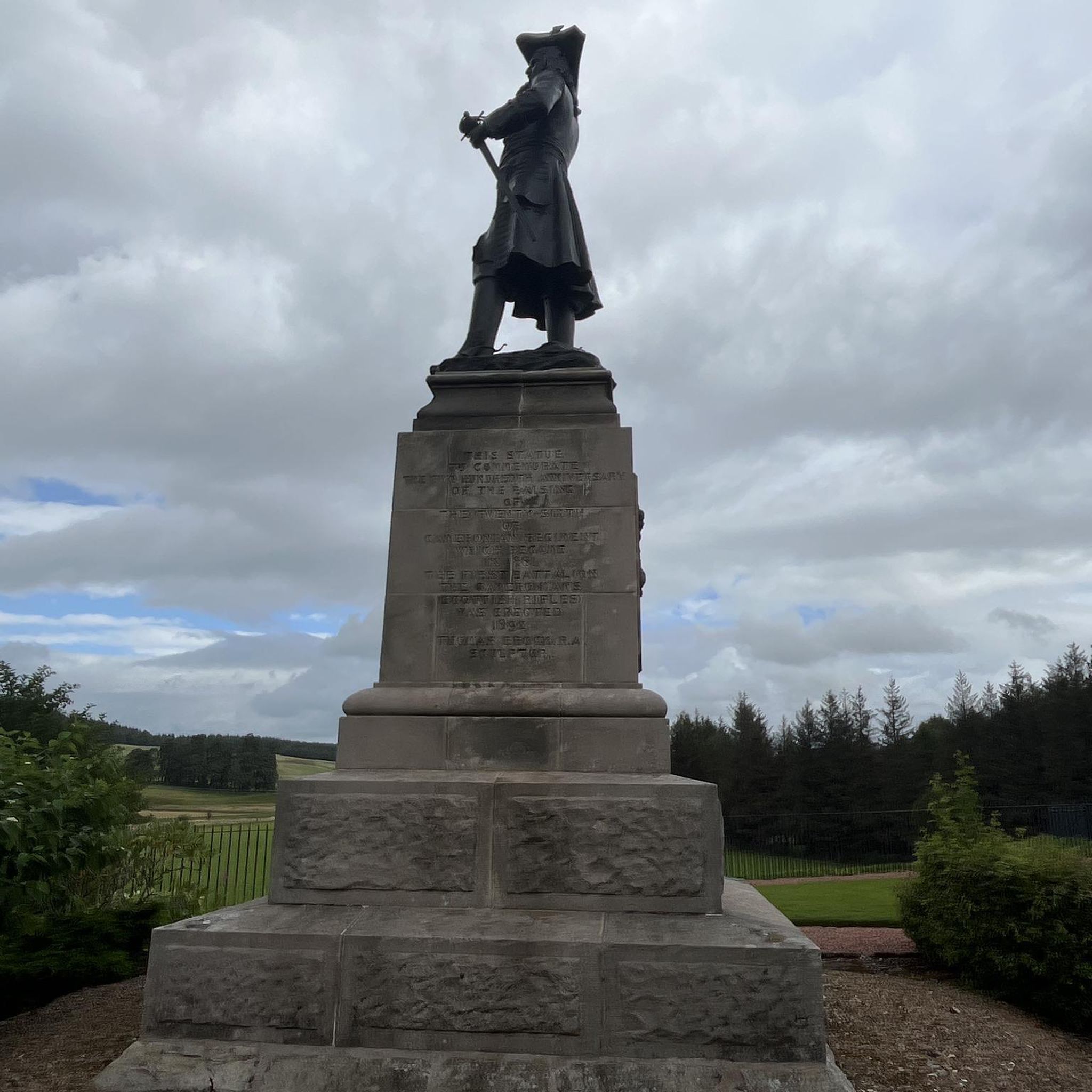
An Augsburg landmark, always worth a visit!
6
0


Frequently Asked Questions
What kind of elevated points or 'peaks' can I explore around Stadtbergen?
Around Stadtbergen, you'll find elevated points and scenic viewpoints rather than traditional towering mountains. These include man-made hills, natural monuments, and elevated forest points that offer local recreation and panoramic views. Notable examples are Ulrichshöhe Königsbrunn and Monte Scherbelino (Augsburg Rubbish Hill).
Are there any viewpoints near Stadtbergen that offer panoramic vistas?
Yes, Ulrichshöhe Königsbrunn is a popular spot offering fantastic panoramic views of Augsburg and Königsbrunn. On clear days, you can even see the Alps in the distance. Another elevated perspective is provided by Monte Scherbelino (Augsburg Rubbish Hill).
What is the highest point in the Augsburg area near Stadtbergen?
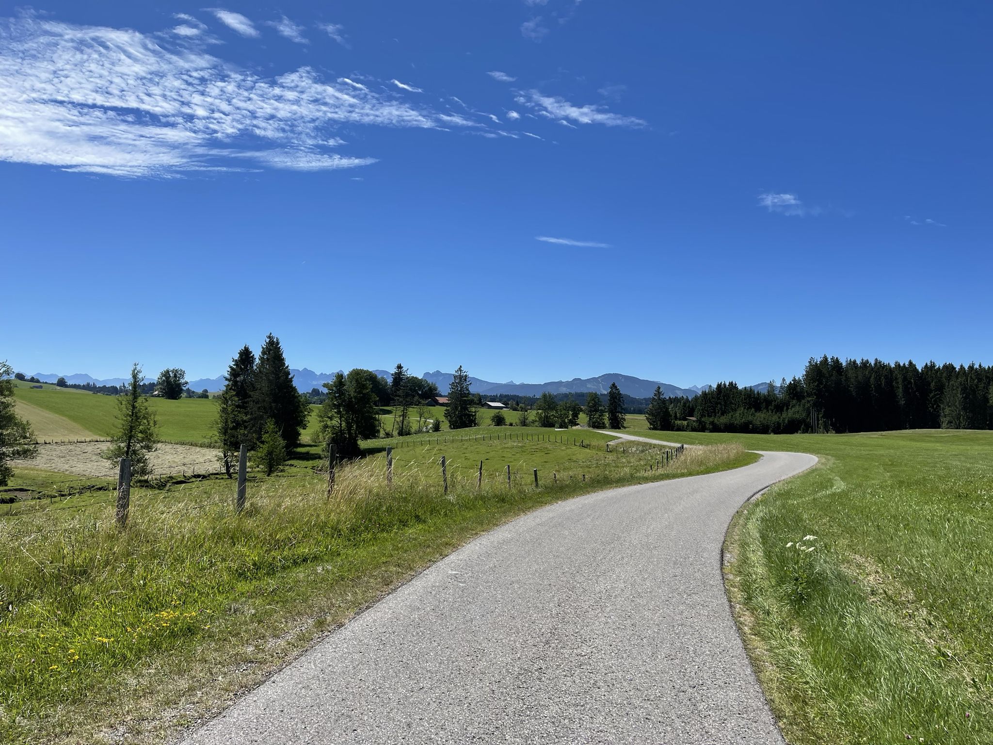
The highest point in Augsburg, located west of Bergheim, is the Sulzkopf. It stands at 558 meters above sea level. You can reach it via the Trail to Sulzkopf, which leads through a forest.
Are the elevated points around Stadtbergen suitable for families?
Yes, several elevated points are family-friendly. Both Monte Scherbelino (Augsburg Rubbish Hill) and Ulrichshöhe Königsbrunn are categorized as family-friendly and offer accessible paths for enjoyable outings.
What kind of hiking terrain can I expect around Stadtbergen's elevated points?
The terrain around Stadtbergen is generally hilly, offering short ascents and descents. Much of the hiking takes place within the charming landscape of the Westliche Wälder Nature Park, featuring picturesque forests and well-maintained paths.
What outdoor activities can I do near the elevated points around Stadtbergen?
Beyond exploring the viewpoints, the area around Stadtbergen is excellent for various outdoor activities. You can find numerous routes for gravel biking, mountain biking, and running. For more details, explore the guides for Gravel biking around Stadtbergen, MTB Trails around Stadtbergen, and Running Trails around Stadtbergen.
Are there specific trails for mountain biking near Stadtbergen's elevated areas?
Yes, there are several mountain biking trails in the vicinity. Routes like the 'Top to Grotte Trail – Fitness Island Trail loop from Stadtbergen' offer more challenging options, while others like 'Lech River near Augsburg – High drain Augsburg loop from Stadtbergen' are easier. You can find more information in the MTB Trails around Stadtbergen guide.
What do visitors enjoy most about the elevated points around Stadtbergen?
Visitors particularly enjoy the panoramic views, especially from Ulrichshöhe Königsbrunn, and the pleasant hiking opportunities. The artificial hills like Monte Scherbelino are appreciated for their elevated perspectives and recreational value.
What are the operating hours for Monte Scherbelino (Augsburg Rubbish Hill)?
Monte Scherbelino is open daily. From November to March, it's accessible from 8 a.m. to 4 p.m. During April to October, the hours extend from 8 a.m. to 6 p.m.
Can I find running trails near the elevated points in Stadtbergen?
Absolutely. The area offers various running trails, such as the 'Wellenburger Allee – Göggingen Weir loop from Stadtbergen' or the 'Panzerkessel Nature Reserve – Schlaugraben loop from Stadtbergen'. These routes provide moderate difficulty options for runners. For more details, check the Running Trails around Stadtbergen guide.
Are there any challenging hikes or trails near Stadtbergen's elevated points?
While the region is more known for its hilly terrain and recreational walks, some trails offer a moderate challenge. For instance, the Trail to Sulzkopf is categorized as intermediate and involves an ascent through a forest to the highest point in Augsburg.
Most popular routes around Stadtbergen
Most popular attractions around Stadtbergen

Get inspired with the komoot mobile app


Explore more
See even more amazing summits around Stadtbergen with these guides:
