The 3 Most Amazing Peaks in Naturschutzgebiet Seekar Und Bärental
Best mountain peaks in Naturschutzgebiet Seekar Und Bärental are situated within the Koralpe in Styria, Austria, covering an area of 1072 hectares. The reserve features elevations from 1436 m to 2117 m, with Großer Speikkogel as its highest point. This region is characterized by diverse vegetation zones, including spruce forests, subalpine forests, and alpine grass heaths. Its rugged geology and varied flora offer numerous opportunities for nature enthusiasts and hikers.
Best mountain peaks in Naturschutzgebiet Seekar Und Bärental
- The most popular mountain peaks is Summit cross on Moschkogel, a summit that offers a nice view and is an easy to reach summit. It is a grassy summit with a small collection of rocks near the summit cross.
- Another must-see spot is Loskogel Summit Cross, a summit. This monument is considered a symbol of encouragement, hope, new beginnings, and life.
- Visitors also love Hühnerstütze, a summit. A strenuous climb to this peak rewards visitors with a beautiful view.
- Naturschutzgebiet Seekar Und Bärental is known for its summits and viewpoints. The area offers a variety of mountain peaks to see and explore, including Großer Speikkogel, Seespitz, and Moschkogel.
- The mountain peaks in Naturschutzgebiet Seekar Und Bärental are appreciated by the komoot community, with 44 upvotes and 56 photos shared across 5 highlights.
Last updated: September 2, 2026
Loskogel Summit Cross
Highlight • Summit
Translated by Google •
Tip by

Summit cross on Moschkogel
Highlight • Summit
Translated by Google •
Tip by

Sign up now to discover places like this
Get recommendations on the best single tracks, peaks, & plenty of other exciting outdoor places.
Sign up for free
Hühnerstütze
Highlight • Summit
Translated by Google •
Tip by

Seespitz Summit
Highlight • Summit
Translated by Google •
Tip by

Summit of Großer Speikkogel
Highlight • Summit
Translated by Google •
Tip by

Start today with a free account
Your next adventure awaits.
Login or Signup
Popular around Naturschutzgebiet Seekar Und Bärental
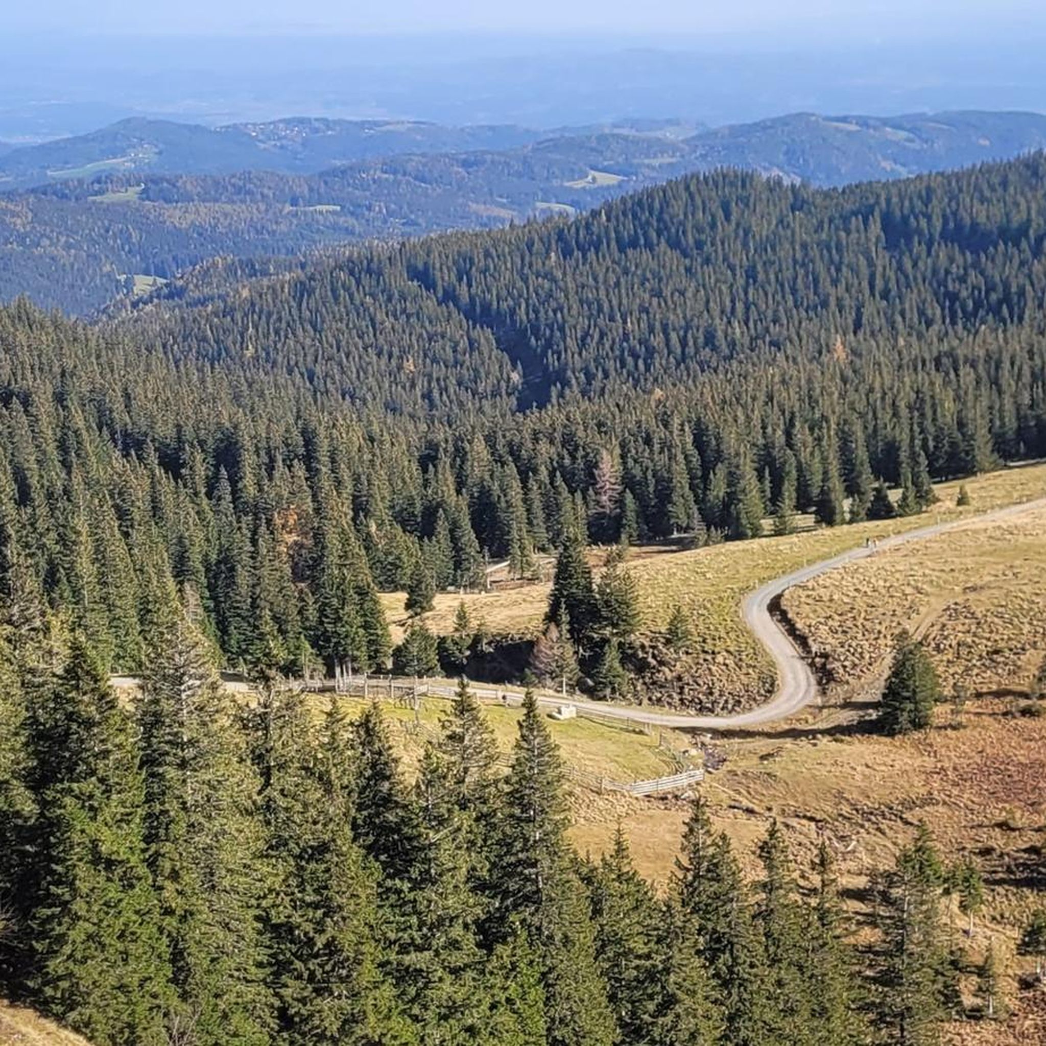
Hiking in Naturschutzgebiet Seekar Und Bärental
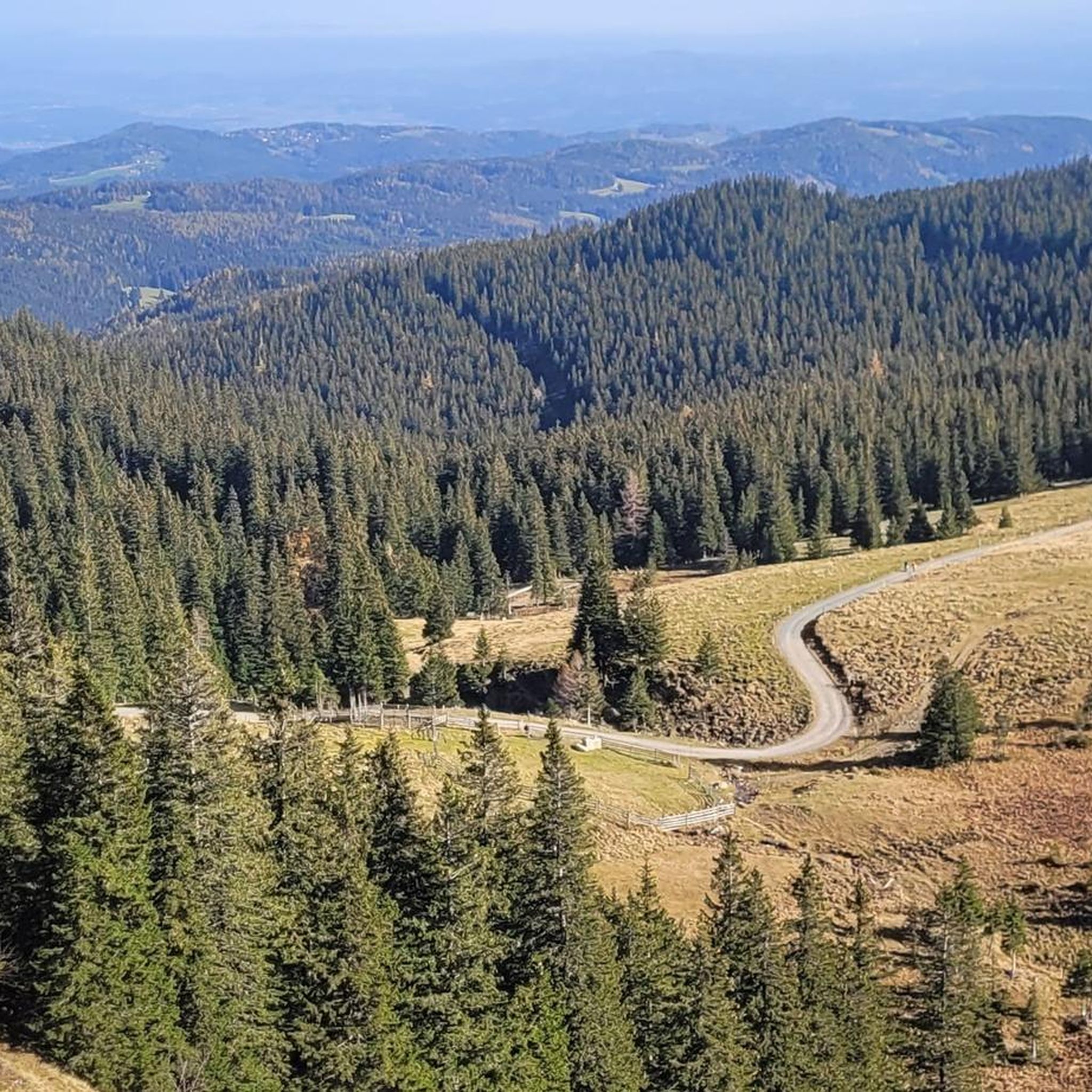
MTB Trails in Naturschutzgebiet Seekar Und Bärental
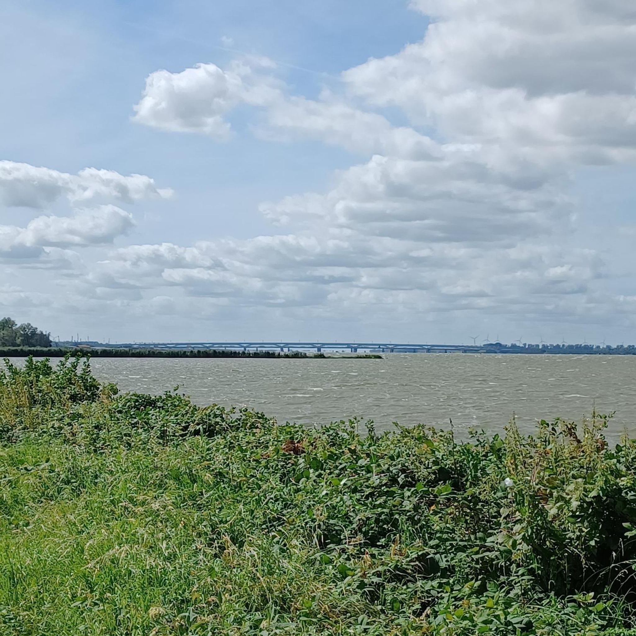
Mountain Hikes in Naturschutzgebiet Seekar Und Bärental
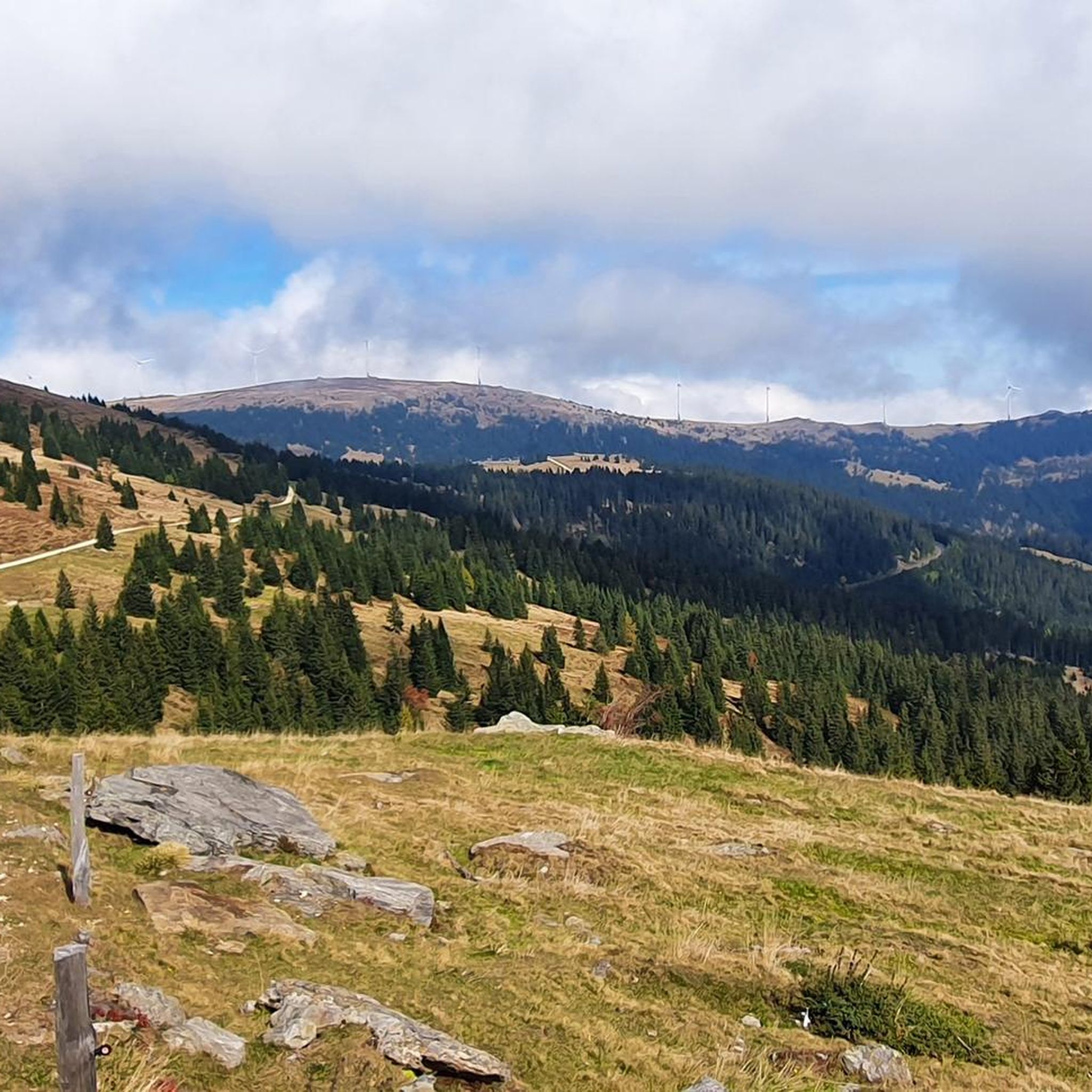
Running Trails in Naturschutzgebiet Seekar Und Bärental
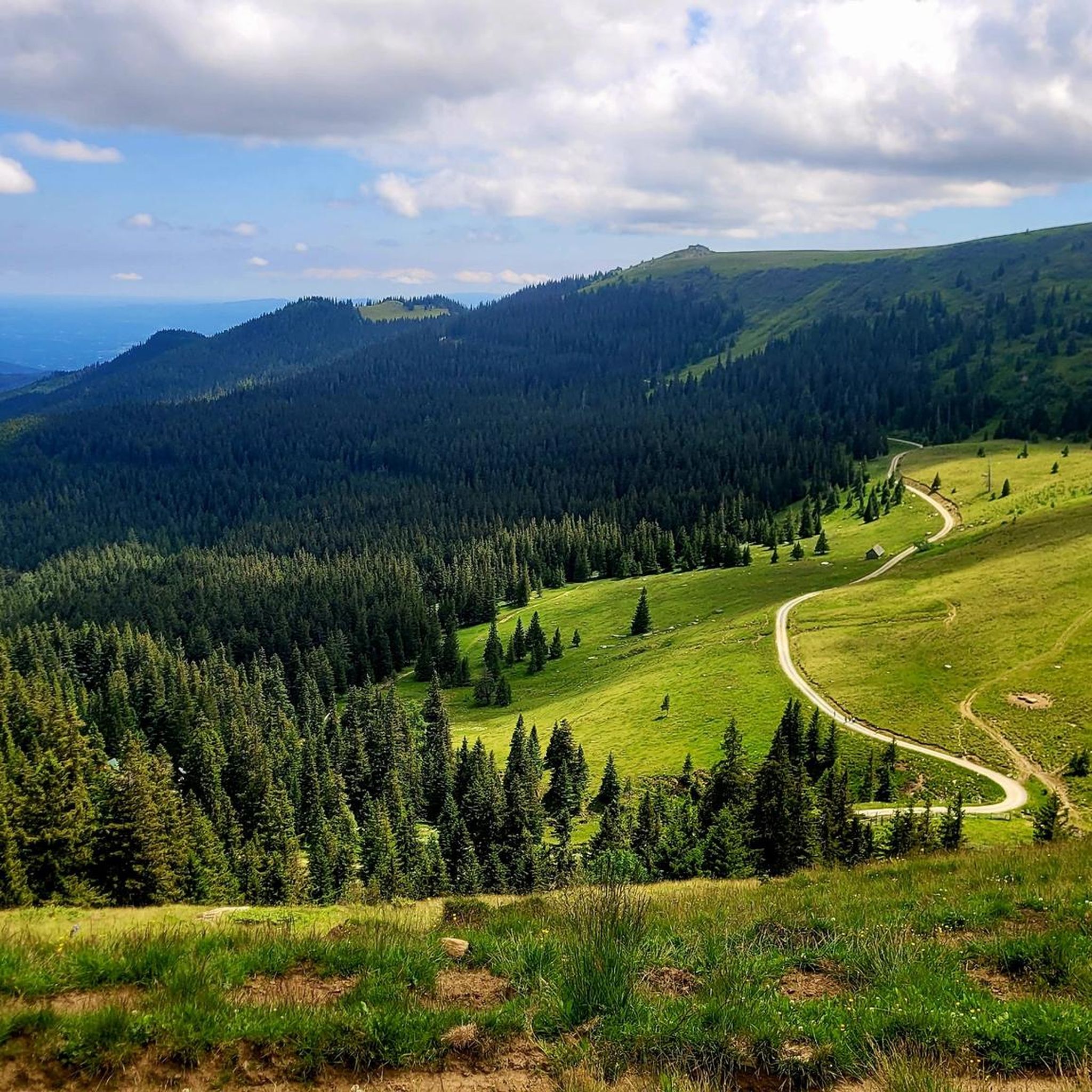
Cycling in Naturschutzgebiet Seekar Und Bärental
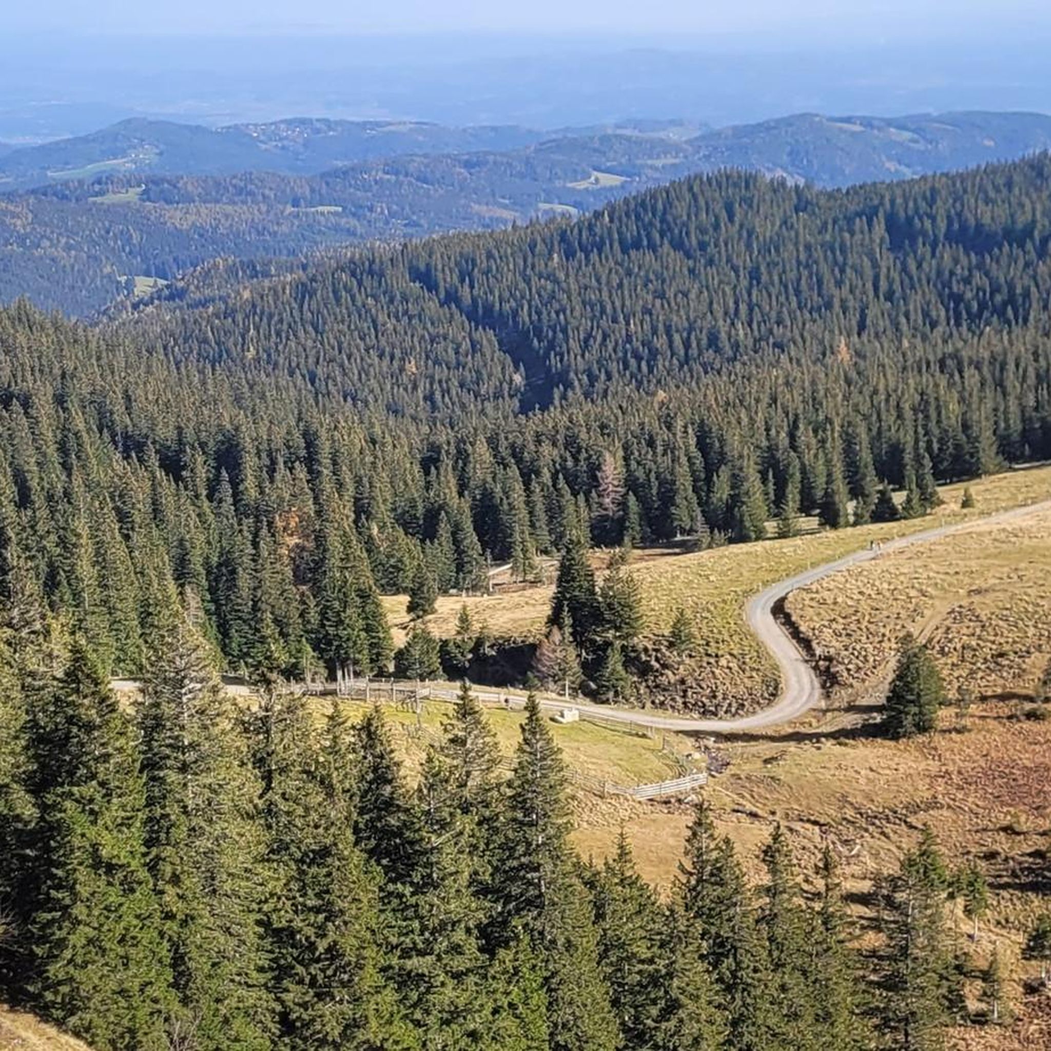
Road Cycling Routes in Naturschutzgebiet Seekar Und Bärental
Tips from the Community

"Is it always something special for you?" asks presenter Werner Schmidbauer, as he reaches the summit cross crowning the Rabenkopf mountain with Munich pastor Rainer Maria Schießler in an episode of the Bavarian Television series "Gipfeltreffen." I would like to offer his short but succinct answer for the consideration of all who linger before this small, sacred monument: "For me, the cross has always been a symbol of encouragement, hope, new beginnings, and life. That's how my parents taught it to me..."
0
0

Nice view, an easy to reach summit. It is actually a grassy summit and there is a small collection of rocks at the top near the summit cross.
0
0


Most hikers pass under it, but the climb over this peak is well worth it.
1
0

a strenuous climb, but you will be rewarded with a beautiful view
1
0

sweaty ascent from the Grillitschhütte to Speikkogel
1
0

Wonderful view, good shoes required, take wame / windproof clothes with you. Lichtenstein saw is about 12.2 km above the Brendlhütte. Walking time up / down about 7.5 hours (24.4km) without haste 🍻🍺🍻
0
0
Frequently Asked Questions
What are some of the most prominent mountain peaks to explore in Naturschutzgebiet Seekar Und Bärental?
The region boasts several notable peaks. The highest is Großer Speikkogel at 2117 m, offering extensive views. Other significant summits include Seespitz Summit (2066 m), Hühnerstütze (1989 m), and Moschkogel (1916 m). These peaks provide diverse hiking experiences and panoramic vistas.
What kind of views can I expect from the mountain peaks in Naturschutzgebiet Seekar Und Bärental?
From the various peaks, you can expect breathtaking panoramic views of the surrounding Koralpe landscape. For instance, the Summit of Großer Speikkogel is known for its wonderful views, while Moschkogel also offers a nice view from its grassy summit. Many peaks, like Hühnerstütze, reward strenuous climbs with beautiful vistas.
Are there challenging hiking routes to the mountain peaks in Naturschutzgebiet Seekar Und Bärental?
Yes, many of the routes to the peaks in Naturschutzgebiet Seekar Und Bärental are considered challenging. For example, the ascent to Hühnerstütze is described as a sweaty and strenuous climb. Similarly, reaching the Summit of Großer Speikkogel requires good shoes and can be a long hike, taking about 7.5 hours for a 24.4 km round trip from Brendlhütte.
What natural features define the landscape around these mountain peaks?
The region is characterized by diverse vegetation zones, ranging from spruce forests at lower elevations to subalpine forests with pastures and dwarf shrub heaths in the middle. At the highest altitudes, you'll find alpine grass heaths and wind-exposed dwarf shrub heaths. The eastern slopes of peaks like Großer and Kleiner Frauenkogel are particularly notable for feeding streams and for the presence of the botanical rarity, Gießbach-Gemswurz (Doronicum cataractarum).
What outdoor activities can I do near the mountain peaks in Naturschutzgebiet Seekar Und Bärental?
Beyond peak bagging, the area offers a variety of outdoor activities. You can explore scenic waterfall hikes, with routes like the Poms Waterfall loop. For cyclists, there are numerous options for traffic-free bike rides and general cycling routes, including challenging tours like the St. Paul's Abbey to Lavamünd Town Bridge loop.
What should I pack for a hike to the mountain peaks in this nature reserve?
Given the challenging nature and high altitudes of some peaks, it's advisable to pack good shoes and warm/windproof clothes, even during warmer months. The weather can change quickly in the mountains, especially at elevations like the 2117 m Summit of Großer Speikkogel.
Are there any unique cultural or symbolic features on the peaks?
Yes, several peaks feature summit crosses, which are significant landmarks. The Loskogel Summit Cross is seen by many as a symbol of encouragement, hope, new beginnings, and life. Similarly, the Summit cross on Moschkogel marks an easy-to-reach grassy summit.
What is the best time of year to visit the mountain peaks in Naturschutzgebiet Seekar Und Bärental?
While the guide doesn't specify a single 'best' time, the mention of diverse vegetation zones and the need for warm clothing suggests that late spring through early autumn would be ideal for hiking. This period generally offers more stable weather conditions and allows for full enjoyment of the alpine flora and panoramic views.
What is the elevation range within Naturschutzgebiet Seekar Und Bärental?
The Naturschutzgebiet Seekar Und Bärental spans elevations ranging from 1436 m to 2117 m above sea level. This significant elevation difference contributes to the diverse landscapes and varying levels of hiking difficulty found throughout the reserve.
What do visitors enjoy most about the mountain peaks in Naturschutzgebiet Seekar Und Bärental?
Visitors consistently highlight the rewarding views after strenuous climbs. The sense of accomplishment upon reaching a summit cross, combined with the extensive panoramas, is a major draw. Many find the detours to peaks like Seespitz Summit well worth the effort for the impressive vistas.
Are there any intermediate difficulty peaks for hikers who are not looking for the most challenging routes?
Yes, while many peaks are challenging, some offer intermediate options. For example, Seespitz Summit is categorized as intermediate, suggesting it's a good option for those seeking a rewarding climb without the extreme difficulty of the most strenuous routes. The Summit cross on Moschkogel is also noted as intermediate, offering nice views from an easy-to-reach grassy summit.
Most popular routes in Naturschutzgebiet Seekar Und Bärental
Most popular attractions in Naturschutzgebiet Seekar Und Bärental

Get inspired with the komoot mobile app


Explore more
See even more amazing summits in Naturschutzgebiet Seekar Und Bärental with these guides:
