The 5 Most Amazing Peaks around Vila Verde Dos Francos
Best mountain peaks around Vila Verde Dos Francos, Portugal, are found in a region offering notable elevated points and access to the Serra de Montejunto mountain range. This area provides opportunities for hiking, cycling, and enjoying panoramic views. While not featuring dramatic high-altitude peaks, the region boasts significant elevations and viewpoints. The landscape includes a unique karst environment with deep valleys and eroded limestone formations.
Best mountain peaks around Vila Verde Dos Francos
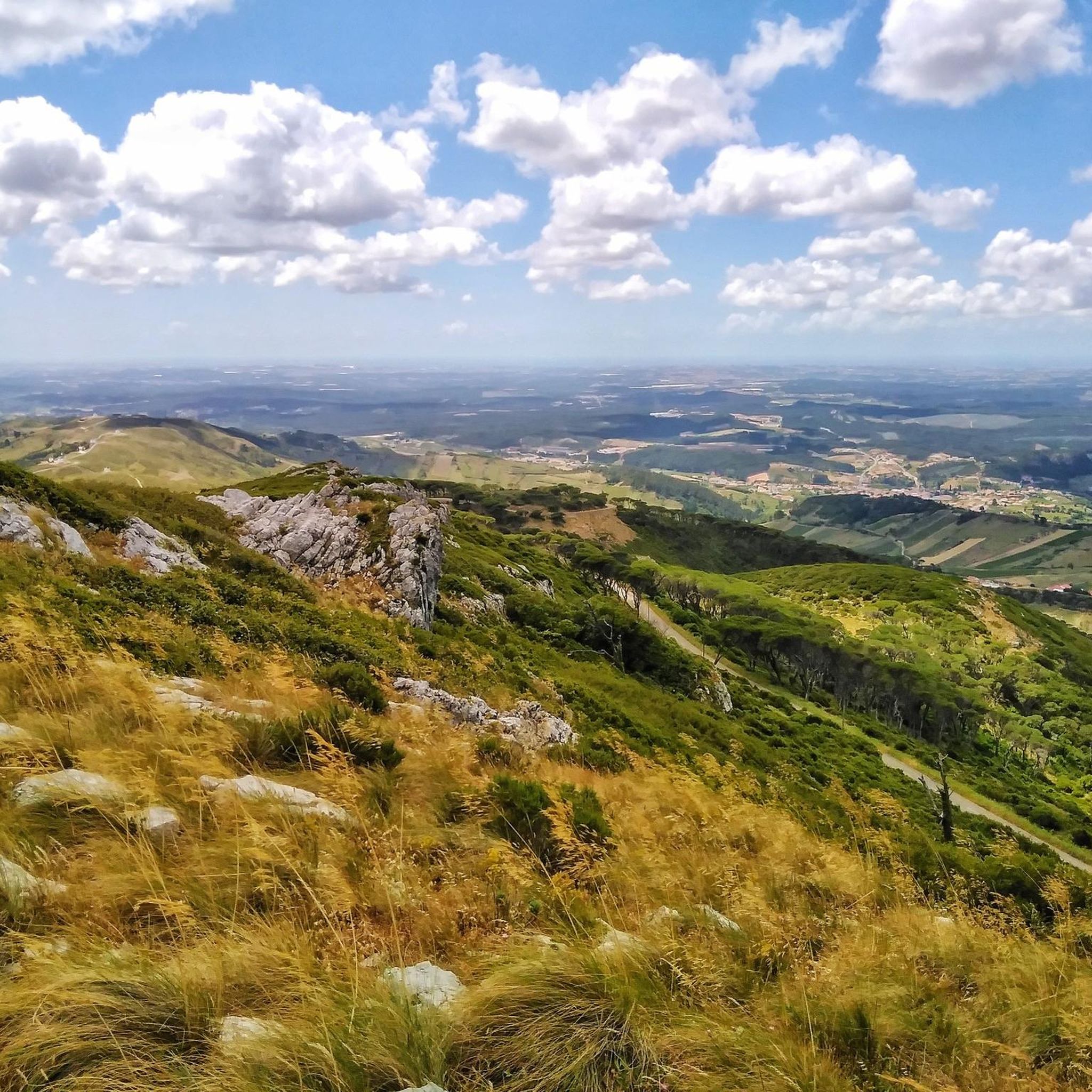
- The most popular mountain peaks is Serra de Montejunto Watchtower, a viewpoint that offers a beautiful panorama of the region north of the Serra. It is accessible via a pastoral trail from a picnic park.
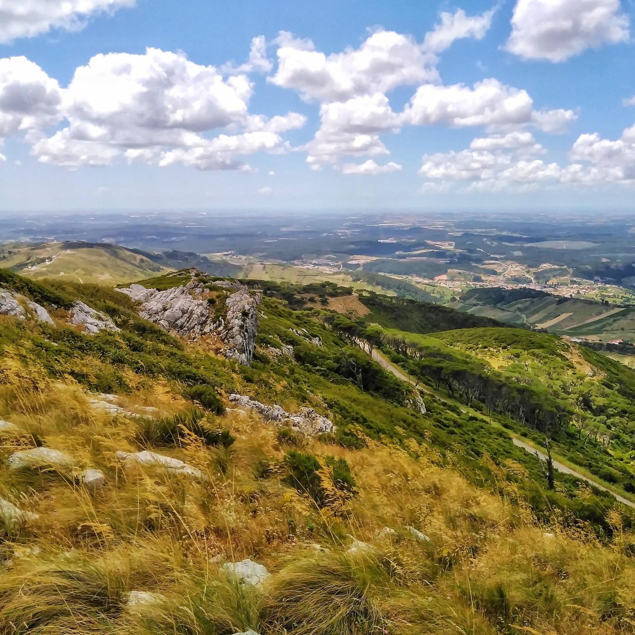
- Another must-see spot is Top of the eastern side of Montejunto mountain., a summit. This location is known for its superb views, though parts of the trail can be technical with loose rock.
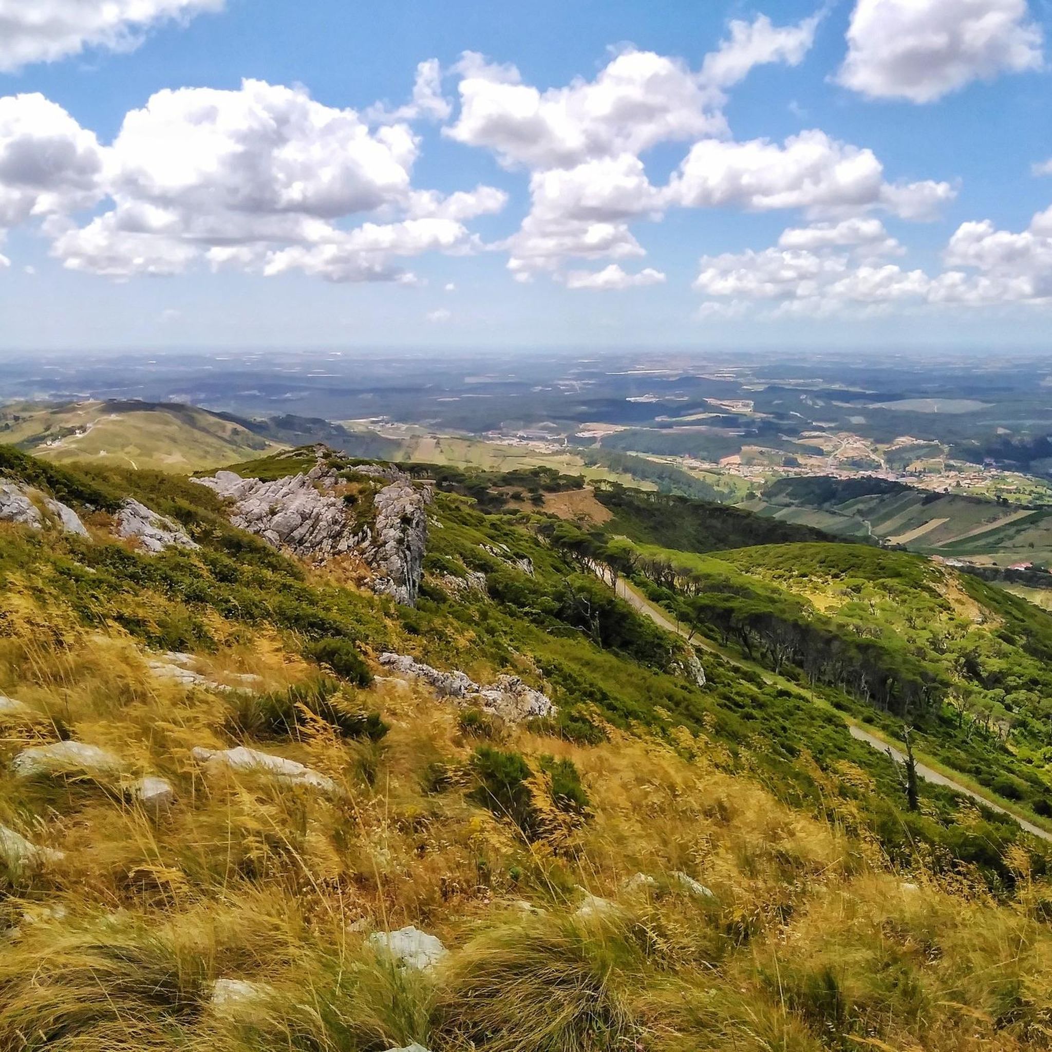
- Visitors also love Cabeço Pardal, a viewpoint in Serra de Ota. The route to this point is frequented by mountain bikers and can be covered without major difficulties on foot.
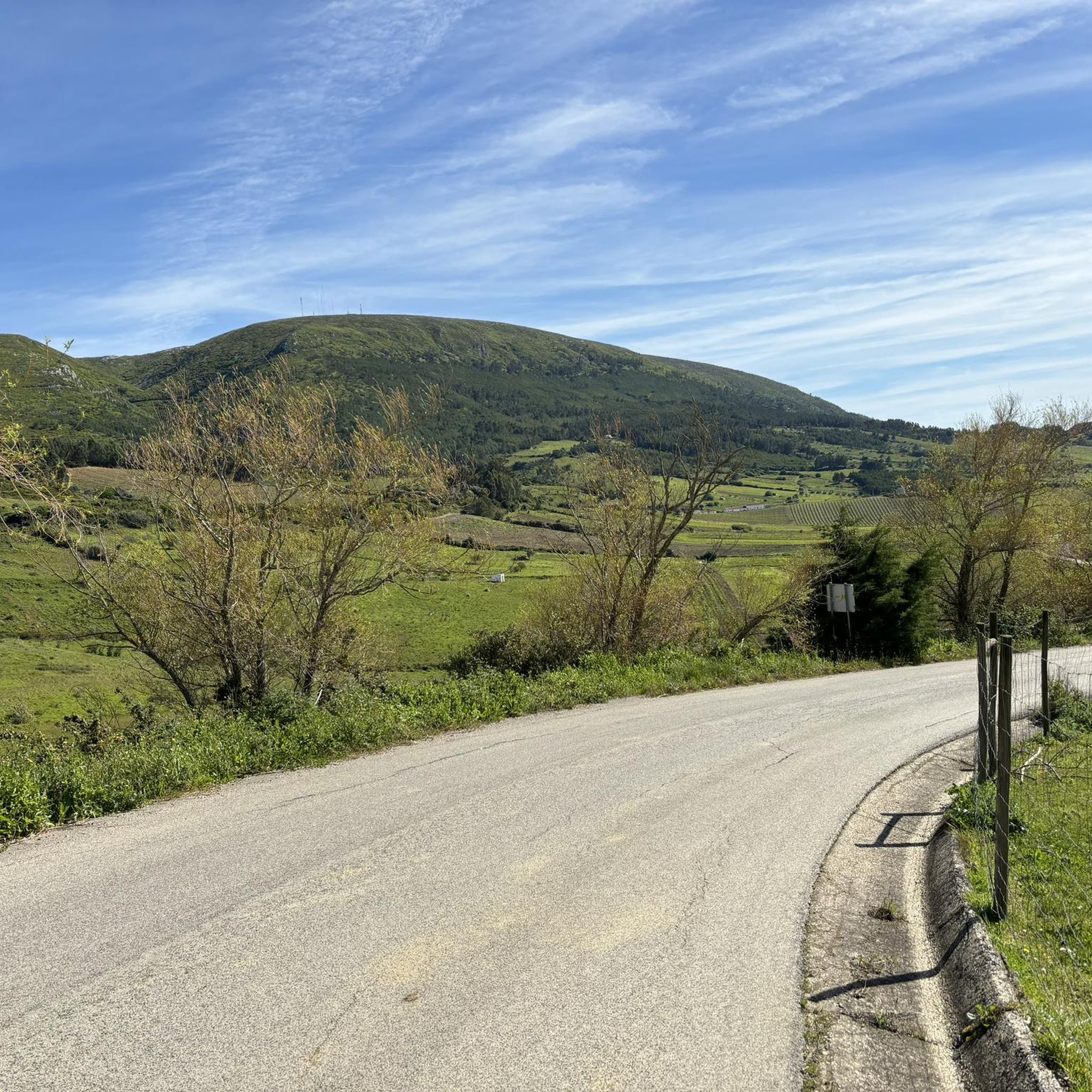
- Vila Verde Dos Francos is known for its summits, viewpoints, and natural monuments. The area offers a variety of mountain peaks to see and explore, from limestone elevations to prominent natural features.
- The mountain peaks around Vila Verde Dos Francos are appreciated by the komoot community, with 14 upvotes and 8 photos shared by visitors.
Last updated: July 3, 2026
Serra de Montejunto Watchtower
Highlight • Viewpoint
Translated by Google •
Tip by

Top of the eastern side of Montejunto mountain.
Highlight • Summit
A part of the trail that passes through this point is a bit technical with some loose rock, it may not be very recommended for gravel bikes with thin tires.
Tip by

Sign up now to discover places like this
Get recommendations on the best single tracks, peaks, & plenty of other exciting outdoor places.
Sign up for free
Summit of Monte Redondo
Highlight • Summit
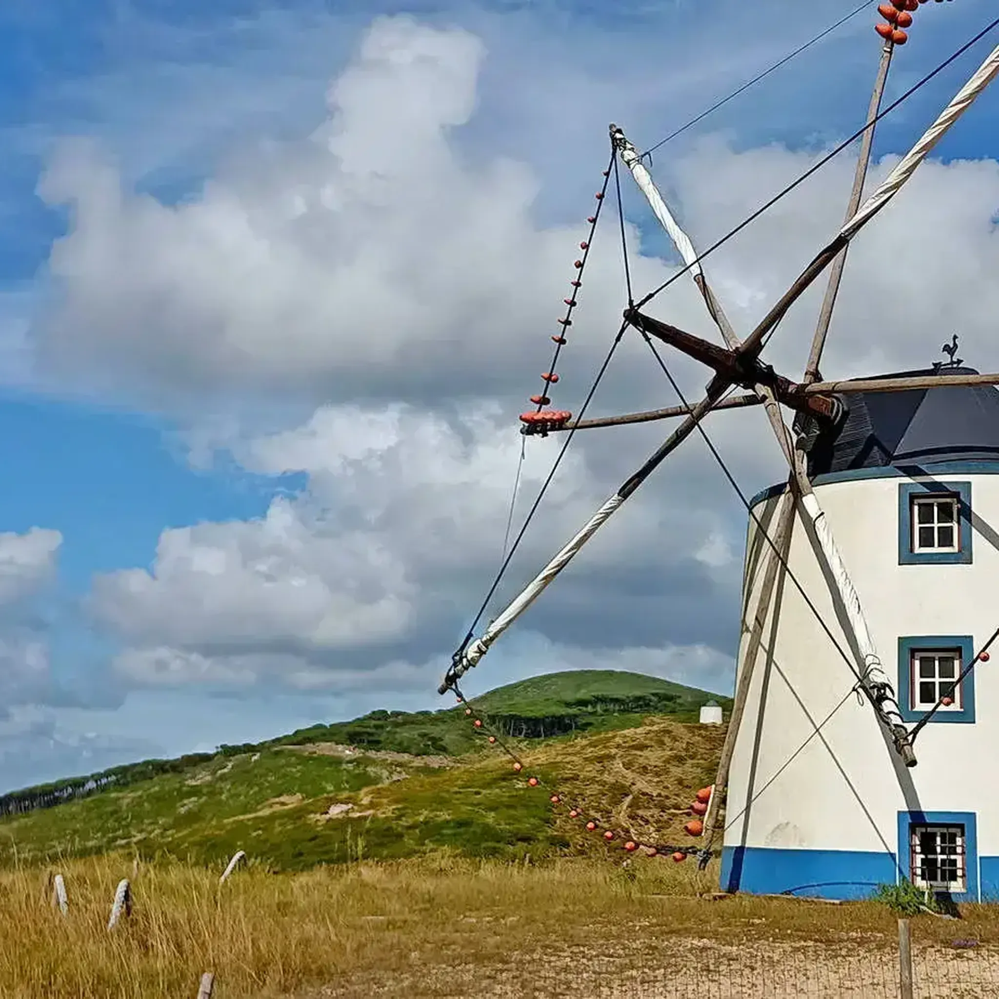
Whether it is due to the various trails that allow you to observe the surrounding landscape, including the Ota plain and the Tagus River, or due to its proximity to the Chã Alta dam, Monte Redondo is a point of interest for hikers, gravel bikers and nature lovers in general.
Translated by Google •
Tip by
Cabeço Pardal
Highlight • Viewpoint
Translated by Google •
Tip by
Cabeço do Monfarinho - Elevation 308 m
Highlight • Summit
Showing Translation
Tip by
Sign up for free to discover even more peaks around Vila Verde Dos Francos.
Sign up for free
Already have an account?
Start today with a free account
Your next adventure awaits.
Login or Signup
Tips from the Community

The real access trail to Cabeço de Monfarinho does not start at the point indicated on the Komoot map, but about a hundred meters before. Pay attention to the path that will lead you to it.
0
0
Monte Redondo is a limestone elevation with an altitude of around 212 metres. It is located near the town of Ota, and is distinguished by its rounded shape. Whether it is due to the various trails that allow you to observe the surrounding landscape, including the Ota plain and the Tagus River, or due to its proximity to the Chã Alta dam, Monte Redondo is a point of interest for hikers, gravel bikers and nature lovers in general.
1
0

Point where you can observe the region in Serra de Ota. The route is also frequented by mountain bikers, and can be covered without any major difficulties on foot.
0
0
The Serra de Montejunto Forest Watch Station can be accessed via a pastoral trail from the picnic park. It offers a beautiful panorama of the region north of the Serra.
3
0
Usually this is a windy place, but the view is superb. A part of the trail that passes through this point is a bit technical with some loose rock, it may not be very recommended for gravel bikes with thin tires.
2
0
Frequently Asked Questions
What are the most notable elevated points and viewpoints around Vila Verde Dos Francos?
The region offers several significant elevations and viewpoints. Key locations include the Serra de Montejunto Watchtower, which provides a beautiful panorama, and the Top of the eastern side of Montejunto mountain, known for its superb views. Other points of interest include the Summit of Monte Redondo, offering views of the Ota plain and Tagus River, and Cabeço Pardal in Serra de Ota.
What kind of natural landscape can I expect to see around Vila Verde Dos Francos?
The area is characterized by a unique karst landscape, especially in the Serra de Montejunto, featuring deep valleys, gravel pits, and eroded limestone formations. You'll find diverse natural features, including forests, and panoramic views of the surrounding plains and rivers like the Tagus.
What makes the Serra de Montejunto area unique for visitors?
Serra de Montejunto is a prominent natural feature in western Portugal, offering a unique karst landscape and over 20 trails for various ability levels. It's excellent for outdoor enthusiasts, with historic cobbled paths and trails encircling the mountain. The climb itself spans 8.5 kilometers, ascending 479 meters to a peak of 658 meters.
Are there hiking trails suitable for different skill levels near Vila Verde Dos Francos?
Yes, the region, particularly the Serra de Montejunto, offers a wide range of hiking experiences. You can find trails for various ability levels, from easy walks to more technical paths with loose rock. For specific routes, you can explore the Easy hikes around Vila Verde Dos Francos guide, which includes routes like the 'Ota Karstic Canyon Trail'.
Can I go cycling or mountain biking in the area?
Absolutely. The region is popular for both road cycling and mountain biking. The route to Cabeço Pardal is frequented by mountain bikers, and Monte Redondo is a point of interest for gravel bikers. You can find detailed routes in the Road Cycling Routes around Vila Verde Dos Francos and MTB Trails around Vila Verde Dos Francos guides.
Are there family-friendly hiking options around Vila Verde Dos Francos?
While specific 'family-friendly' categories aren't listed for all highlights, the Serra de Montejunto offers over 20 trails, some of which are suitable for various ability levels. The 'Easy hikes around Vila Verde Dos Francos' guide includes routes like 'Penha do Meio-Dia – View of Serra de Montejunto loop' which are shorter and less strenuous, potentially suitable for families.
What is the best time of year to visit the mountain peaks around Vila Verde Dos Francos?
The region is generally pleasant for outdoor activities for much of the year. Spring and autumn typically offer milder temperatures, which are ideal for hiking and cycling. Summer can be warm, but the higher elevations may provide some relief. Winter is generally mild, though some trails might be wet.
How can I access the Serra de Montejunto Watchtower?
The Serra de Montejunto Watchtower can be accessed via a pastoral trail that starts from a picnic park. This trail leads to the watchtower, offering a beautiful panorama of the northern region of the Serra.
Are there any circular hiking trails available in the area?
Yes, there are circular routes to explore. For example, within the Serra de Montejunto, you can find the 'Trilho da Quinta da Serra,' a 4.9 km circular route. The 'Easy hikes around Vila Verde Dos Francos' guide also features circular options like the 'Penha do Meio-Dia – View of Serra de Montejunto loop'.
What should I know about the terrain when hiking to the Top of the eastern side of Montejunto mountain?
When heading to the Top of the eastern side of Montejunto mountain, be aware that it can often be windy, though the views are superb. A part of the trail leading to this point is a bit technical with some loose rock, which might be challenging for gravel bikes with thin tires or those less accustomed to uneven terrain.
What are the characteristics of Monte Redondo for outdoor enthusiasts?
Monte Redondo is a limestone elevation of around 212 meters, distinguished by its rounded shape. It's a point of interest for hikers, gravel bikers, and nature lovers due to its various trails that offer views of the surrounding landscape, including the Ota plain and the Tagus River. Its proximity to the Chã Alta dam also adds to its appeal.
Most popular attractions around Vila Verde Dos Francos

Get inspired with the komoot mobile app


Explore more
See even more amazing summits around Vila Verde Dos Francos with these guides:
