The 4 Most Amazing Peaks around Killaloe Municipal District
Best mountain peaks around Killaloe Municipal District are found within East Clare, Ireland, offering diverse hiking experiences. The landscape includes parts of the Slieve Aughty and Slieve Bernagh areas, providing varied terrain for outdoor enthusiasts. These peaks overlook Lough Derg and the River Shannon, with some extending into County Tipperary. The region is characterized by its natural beauty and historical significance, making it a destination for hill-walking.
Best mountain peaks around Killaloe Municipal District
- The most popular mountain peaks is…
Last updated: July 2, 2026
Moylussa Summit Boardwalk
Highlight • Summit
Tip by

View from Knockanuarha
Highlight • Viewpoint
Translated by Google •
Tip by

Sign up now to discover places like this
Get recommendations on the best single tracks, peaks, & plenty of other exciting outdoor places.
Sign up for free
Knockanuarha Summit
Highlight • Summit
Tip by

View of Lough Derg from Moylussa Summit
Highlight • Viewpoint
Tip by

Start today with a free account
Your next adventure awaits.
Login or Signup
Popular around Killaloe Municipal District
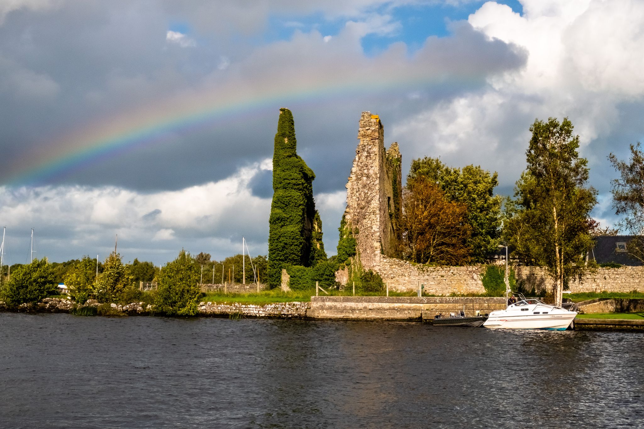
Lough Derg Way
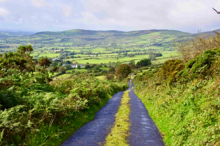
East Clare Way – exploring Ireland’s hidden heart
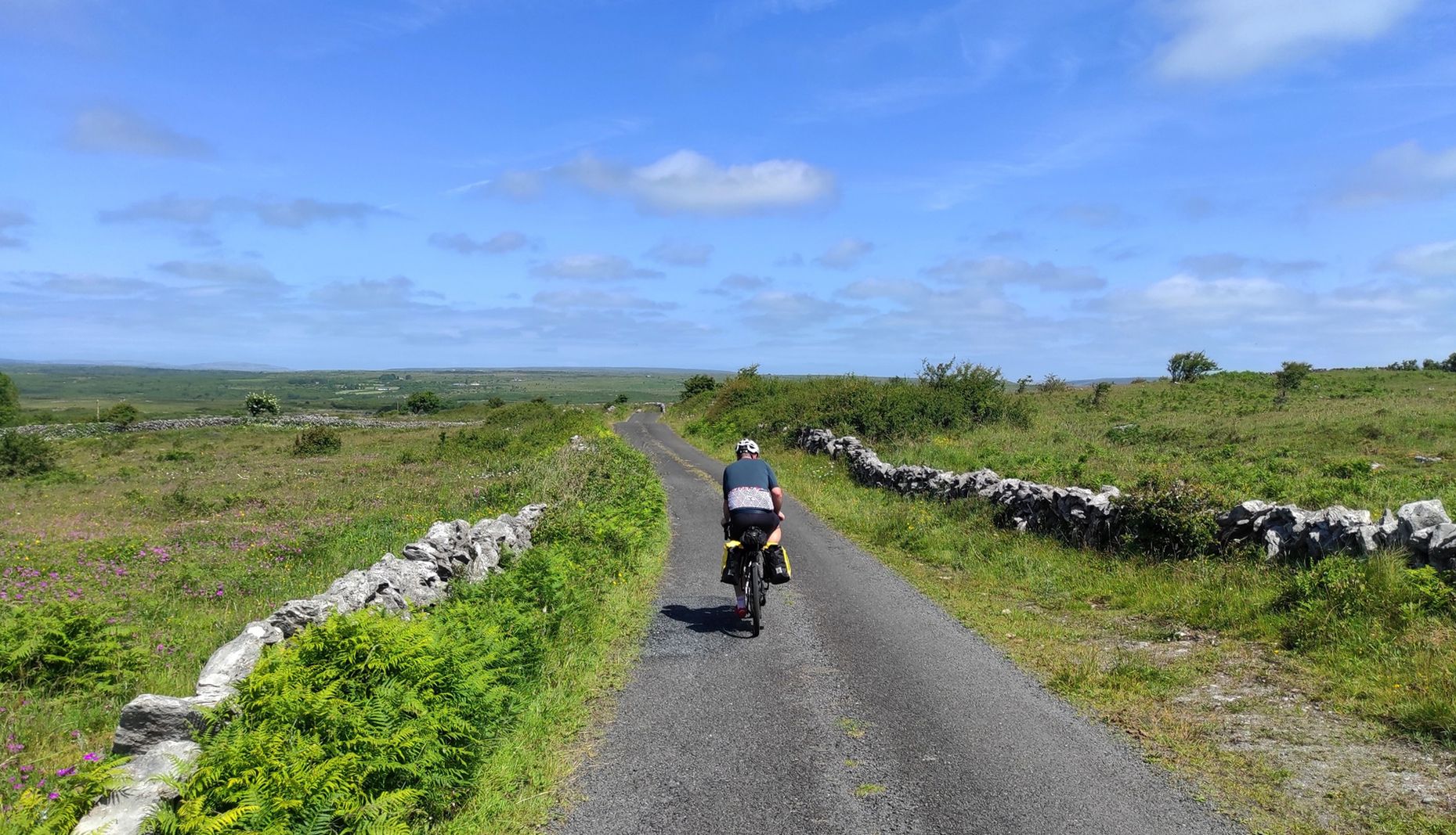
Rugged rides of Ireland – Clare Figure 8
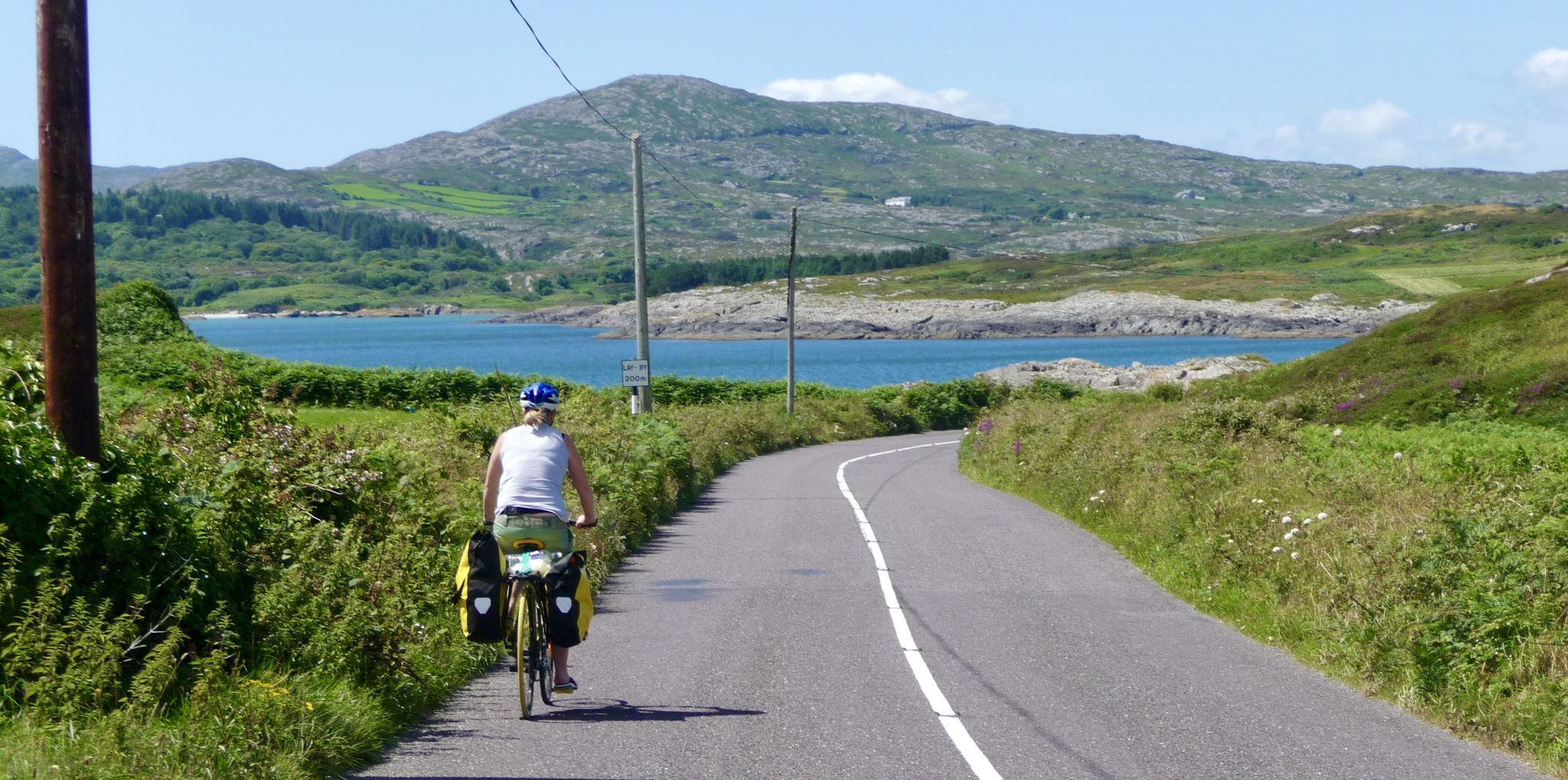
Discover beautiful Ireland – cycle end-to-end from Mizen to Malin

Follow the water - Along Ireland's rivers and lakes

Discover Ireland's past – historical walks on the Emerald Isle

Between waves and peaks — to the best views in Ireland
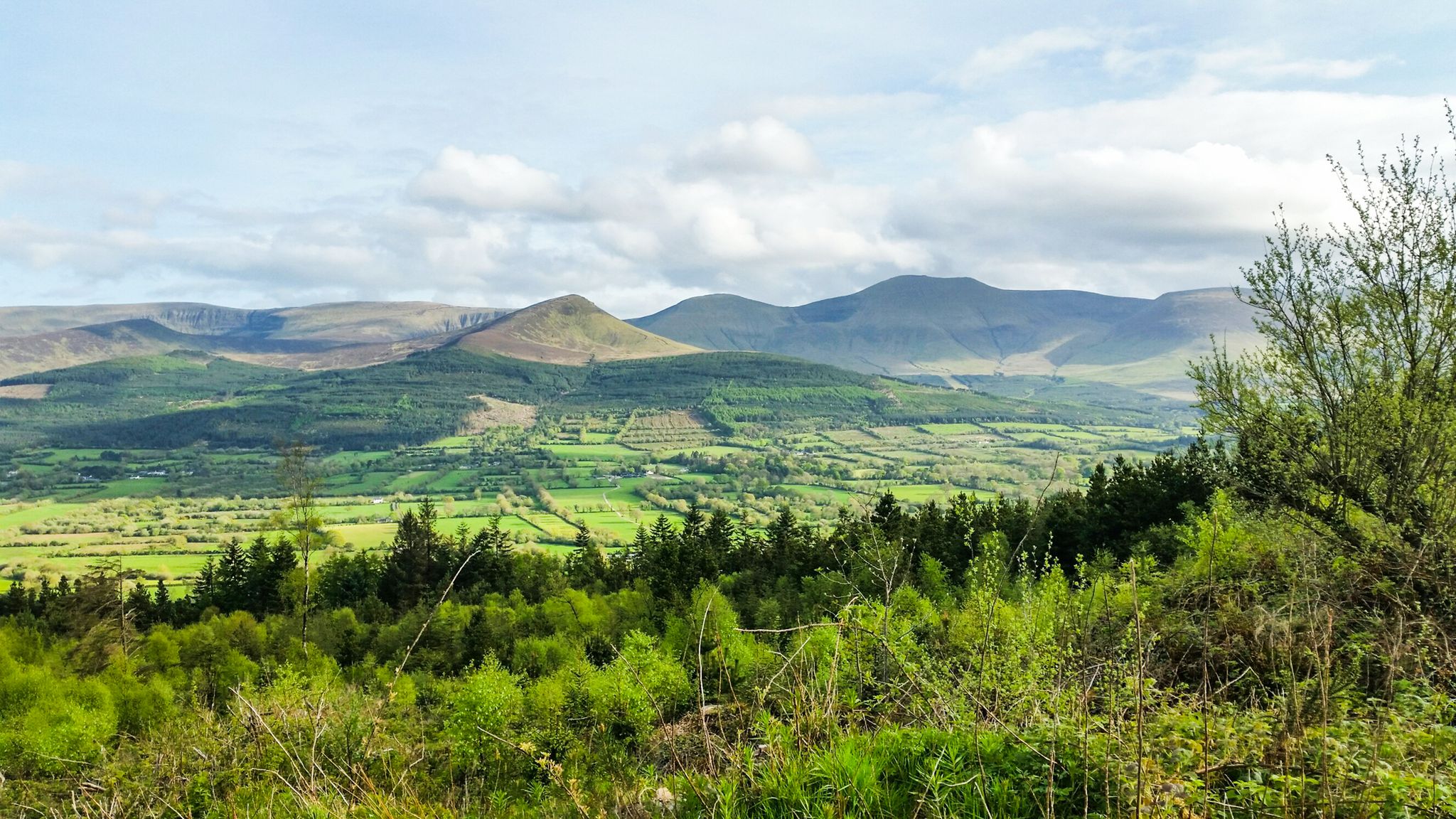
Hiking through the heart of the Emerald Isle – discover central Ireland
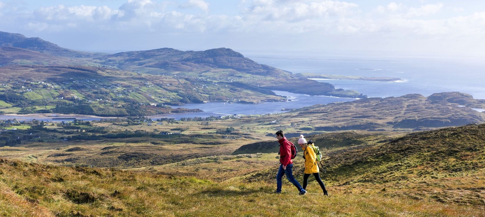
Wild Atlantic Way — day hikes for your road trip along Ireland's coastline
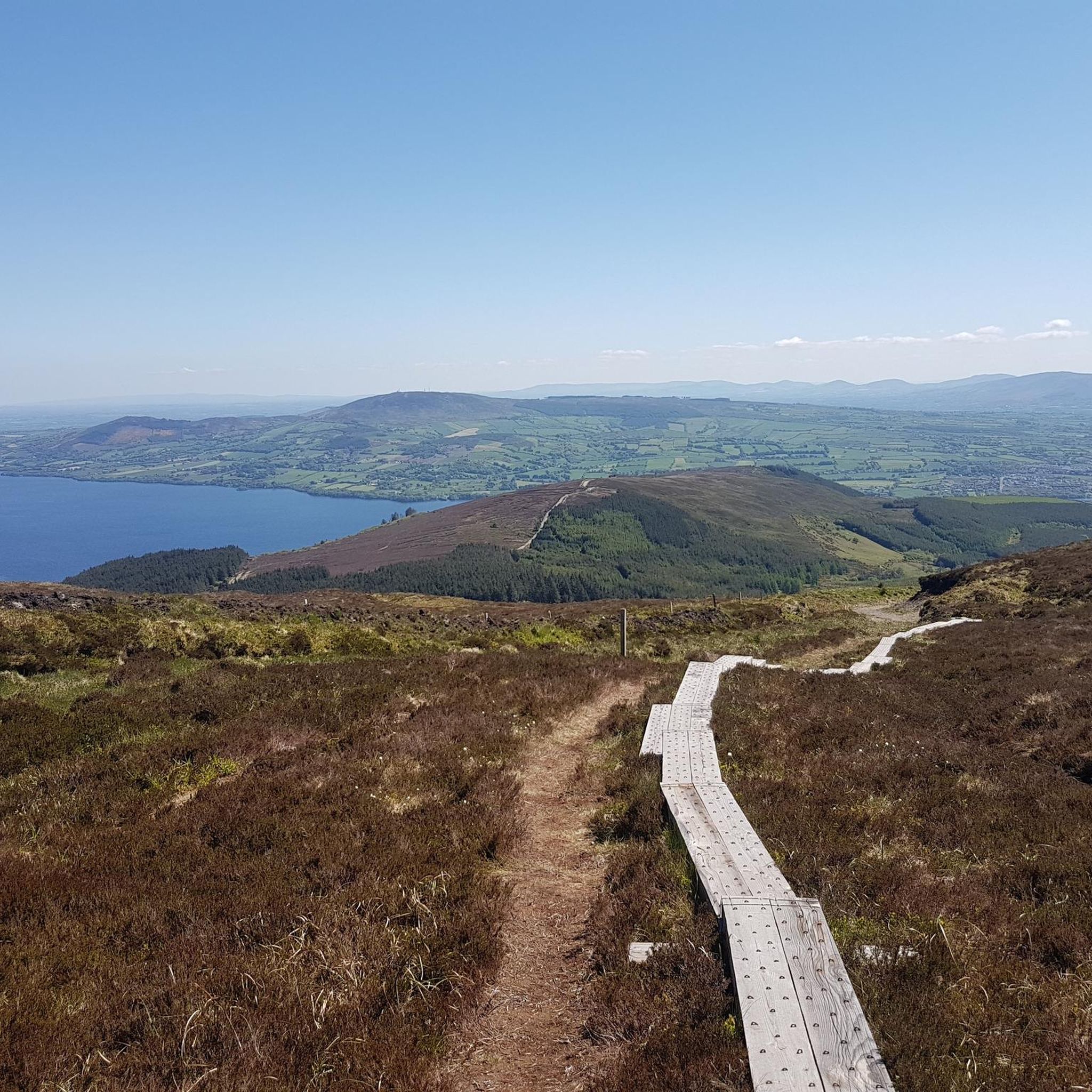
Hiking around Killaloe Municipal District
Other adventures around Killaloe Municipal District


Tips from the Community

Incredible views of Lough Derg and the surrounding landscape from Moylussa Summit. Gravel trail galore to explore on this mountain range near Kilalooe.
0
0
The highest point in this park stand at 300m. The exposed hill provides an incredible panoramic view over West Clare, the Burren and the Shannon Estuary.
1
0

The final part of the run to the summit of Moylussa is on a boardwalk, to protect your feet from the wet boggy ground. Moylussa is 531m high and is a designated Marilyn.
0
0
Knockanuarha is the main summit of the 12 O'Clock Hills. Their name comes from the fact that the hills were once used to tell the time depending on the position of the sun.
0
0

The so-called "12 O'Clock Hills", so the "12 o'clock hills", got their name from the fact that they were once used as a marker to read the time from the position of the sun. The main peak of the group of hills is the 309 meter high Knockanuarha.
3
0

The board walk takes you to the summit of Moylussa, which at 531m is a county high point and a designated Marilyn.
4
0

Final few hundred yards to the peak at 531 metres are flat but very boggy, even when dry. The boardwalk is a real highlight if you're in it for the 'gram!
2
0
Frequently Asked Questions
Which mountain peaks offer the best panoramic views in the Killaloe Municipal District?
For stunning panoramic views, consider hiking to the summit of Moylussa or Tountinna. From View of Lough Derg from Moylussa Summit, you can see Lough Derg and the surrounding landscape. Tountinna, though in County Tipperary, offers exceptional views of Lough Derg and the picturesque Black Lough. Keeper Hill also provides stunning 360-degree views of the rolling green landscape.
Are there any mountain peaks in the region with historical significance?
Yes, Tountinna in County Tipperary is notable for the 'Graves of Leinstermen,' a site featuring four large menhirs believed to be a Bronze Age burial place. Additionally, the View from Knockanuarha is located in the 12 O'Clock Hills, which were historically used to tell time by the sun's position.
What are the most challenging mountain hikes in the Killaloe Municipal District?
The ascent to Moylussa's summit, especially from areas like Twomilegate or Ballycuggaran Forest, can be quite steep and challenging towards the top, though generally moderate. Keeper Hill also offers the strenuous Keeper Hill Trek (8.2 km, 3 hours) to its summit.
What natural features can I expect to see while hiking the mountain peaks?
You'll encounter diverse terrain including coniferous forests, stone trails, and boardwalks through boggy ground, particularly near the Moylussa Summit Boardwalk. Keeper Hill features impressive gullies and waterfalls, such as the 'Spout', and its summit is a designated National Heritage Area for its important habitats.
Are there family-friendly mountain walks in the Killaloe Municipal District?
While some peaks offer challenging sections, Tountinna provides easy to moderate hiking trails suitable for a range of walkers, making it a good option for families. Moylussa also permits dogs on its trails, which can be a plus for family outings.
What is the best time to visit the mountain peaks around Killaloe Municipal District?
The region is beautiful year-round, but for the clearest panoramic views and more comfortable hiking conditions, spring and summer are generally ideal. Moylussa is particularly noted as a great spot to witness the sunrise.
What outdoor activities can I do near these mountain peaks?
Beyond hiking, you can explore various outdoor activities. For running, consider routes like the 'Moylussa & Ballycuggaran loop' or 'The 12 o'clock Hills loop'. If you're into gravel biking, routes such as 'Exploring East Clare' offer extensive trails. You can find more details on these activities in the Running Trails around Killaloe Municipal District and Gravel biking around Killaloe Municipal District guides.
Are there easy hiking trails available near the mountain peaks?
Yes, for easier options, you can find trails like the 'Parteen Weir loop from O'Briensbridge' or the 'Killaloe Town loop'. These are generally less strenuous than summiting the higher peaks. More easy hikes are detailed in the Easy hikes around Killaloe Municipal District guide.
Where can I find information about parking or public transport for these mountain peaks?
Specific parking details for Moylussa often involve starting points like Twomilegate or Ballycuggaran Forest. For more detailed logistical information, including parking and accessibility, it's recommended to check local resources like visiteastclare.ie for Moylussa.
What makes Moylussa a popular choice for hikers?
Moylussa is the highest peak in County Clare and offers a diverse hiking experience through forests and along stone trails, culminating in a boardwalk near the summit. Hikers are rewarded with stunning panoramic views of Lough Derg and the Tipperary mountain range. It's also known for its peaceful atmosphere and bird songs.
What is unique about Keeper Hill?
Keeper Hill is the highest mountain in the Shannon region and its 300-hectare summit is a designated National Heritage Area, recognized for its important habitats. It offers varied trails, including strenuous treks, and provides stunning 360-degree views.
Most popular routes around Killaloe Municipal District
Most popular attractions around Killaloe Municipal District

Get inspired with the komoot mobile app


Explore more
See even more amazing summits around Killaloe Municipal District with these guides:
