The 3 Most Amazing Peaks around Jurvielle
Best mountain peaks around Jurvielle are found in the French Pyrenees, within the Haute-Garonne department. The region features a mountainous landscape with elevations ranging from 1,240 to 2,093 meters. Jurvielle provides access to various mountain features and hiking opportunities, including renowned passes and summits.
Best mountain peaks around Jurvielle
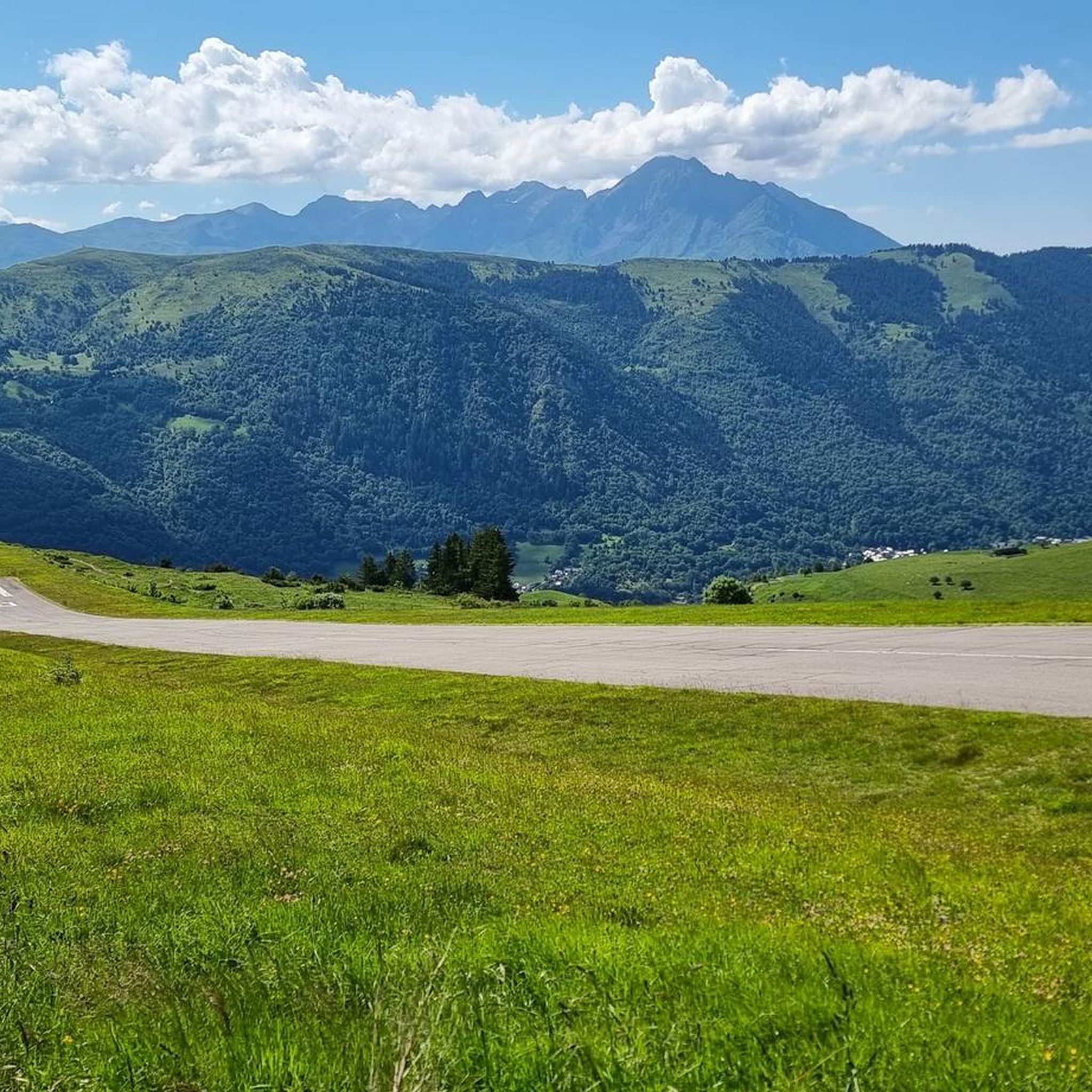
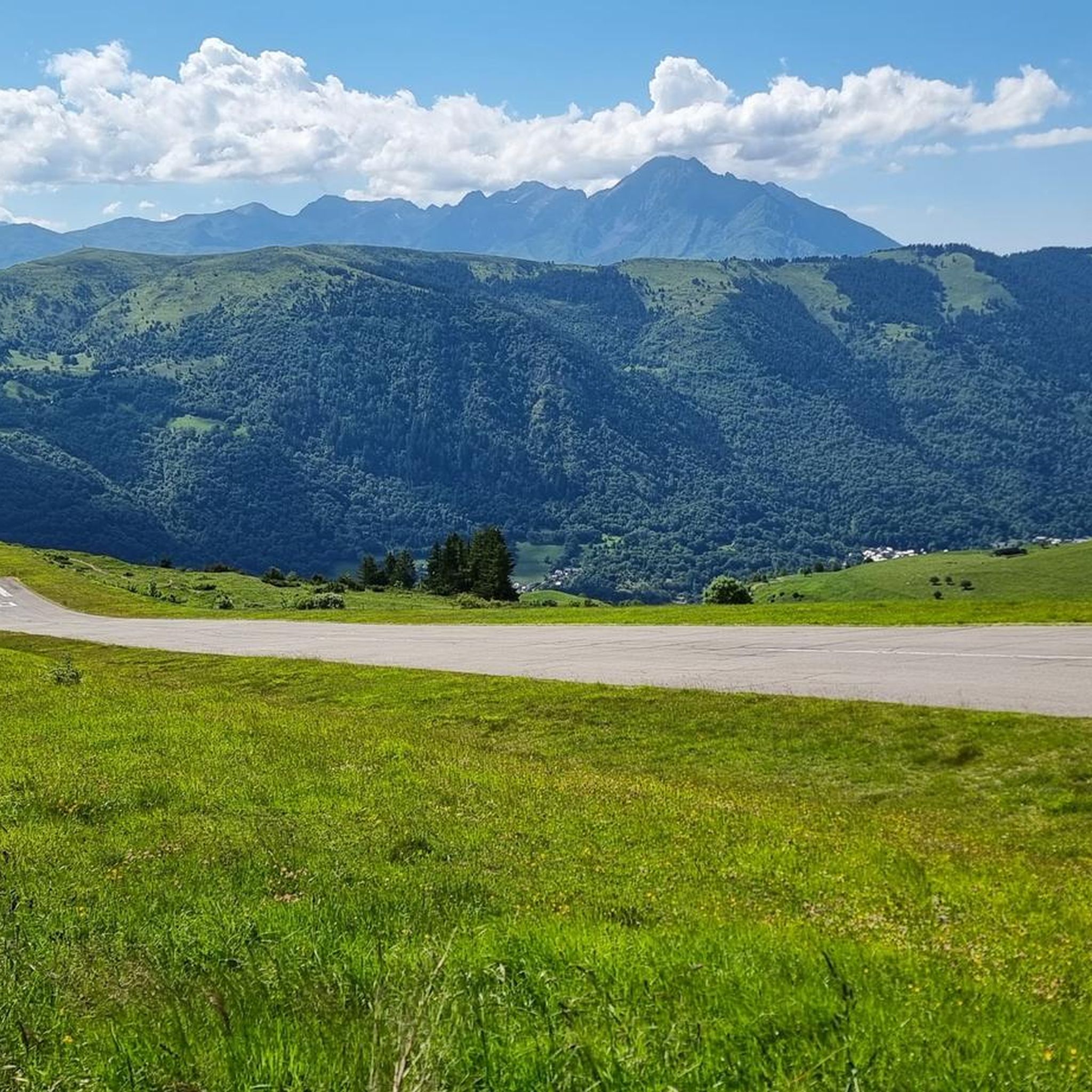
- The most popular mountain peaks is Col de Val Louron-Azet, a mountain pass located in the Louron valley at an altitude of 1,580 meters. This passage connects the village of…
Last updated: October 11, 2026
Col de Val Louron-Azet
Highlight • Mountain Pass
Translated by Google •
Tip by

Superbagnères Summit (1804 m)
Highlight • Summit
Tip by

Sign up now to discover places like this
Get recommendations on the best single tracks, peaks, & plenty of other exciting outdoor places.
Mount Né
Highlight • Summit
Translated by Google •
Tip by

Loop from Bourg-d'Oueil
Highlight • Trail
Passage through the Col de Pierrefitte and the pleasant refuge of …
Translated by Google •
Tip by

Antenac Summit
Highlight • Summit
Translated by Google •
Tip by

Start today with a free account
Your next adventure awaits.


Tips from the Community

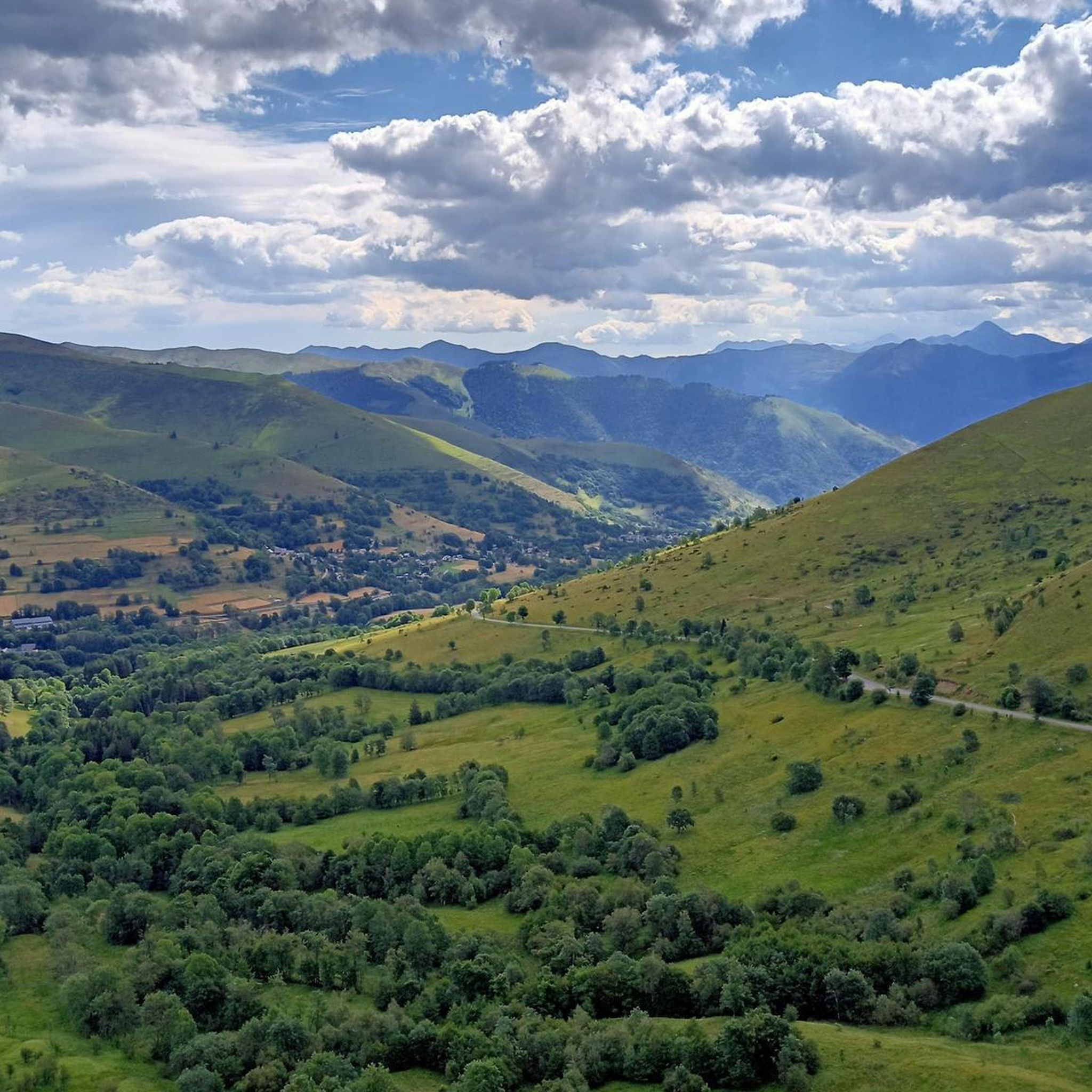
To see, exceptional panorama, truly magnificent
0
0

Passes reserved for cyclists 9-12 p.m. this Monday 07/15, happiness!
0
0


The climb to Superbagnères was psychologically very difficult for me because it is covered by the valley and the trees that cover the road. It is a long climb, with very hard initial and final areas, and an intermediate area with some rest. My experience was very hard because of the intense heat and the long initial straights that the port has. The final part, in addition to being hard, is truly spectacular and the effort and suffering are worth it. The views from the ski resort are incredible!
1
0

There is a nice and calm cafeteria at the top with an elevated terrace. Its a super nice place for a coke/coffee with an amazing view.
1
0

The Col d'Azet is a road mountain pass located at 1,585 meters above sea level. It allows you to go from the Aure valley to the Louron valley. It is one of the 34 passes connected by the famous pass road.
0
0

Located in the Louron valley, the Col d'Azet peaks at an altitude of 1,580 meters. This passage connects the village of Loudenvielle and that of Azet on the heights of Saint-Lary-Soulan. The ascent from Lake Génos is 7.5 kilometers for an average of 8.3% with some passages at 13%.
1
0

Frequently Asked Questions
What are some of the most popular mountain peaks and passes around Jurvielle?
Visitors frequently enjoy the Col de Val Louron-Azet, a mountain pass in the Louron valley known for its challenging ascent and scenic views. Another favorite is the Superbagnères Summit (1804 m), which offers expansive views over the Luchon Valley. The Mount Né also provides exceptional panoramas and is accessible from the Col de Bales.
Are there challenging mountain peaks or passes for experienced hikers near Jurvielle?
Yes, for experienced hikers, the Esquierry Pass is a challenging option, culminating at 2,131 meters above sea level on the GR 10 trail, offering magnificent panoramas. The ascent to Superbagnères Summit (1804 m) is also considered quite hard due to its steep, exposed gradients. Additionally, more ambitious routes to Mount Né are available from Bourg-d'Oeuil, involving over 800 meters of uphill climbing.
What kind of views can I expect from the mountain peaks around Jurvielle?
The mountain peaks and passes around Jurvielle offer breathtaking views of the French Pyrenees. From the Superbagnères Summit (1804 m), you can enjoy 360-degree views over the Luchon Valley. The Esquierry Pass provides a magnificent panorama of the two valleys it separates, while Antenac Summit is known for its truly magnificent and exceptional panorama.
What outdoor activities can I do near the mountain peaks around Jurvielle?
Beyond peak bagging, the region offers diverse outdoor activities. You can explore various mountain hikes, including challenging loops like the 'Sommet de Pouy Louby – Pic du Lion loop'. For cycling enthusiasts, the area is famous for its mountain passes, such as the Col de Peyresourde, a regular feature in the Tour de France. There are also dedicated mountain hiking routes, MTB trails, and running trails available in the vicinity.
Are there any family-friendly hiking options near Jurvielle's mountain peaks?
While many peaks offer challenging routes, the broader Pyrenees region accessible from Jurvielle includes options for easier exploration. For instance, the majestic Cirque de Gavarnie, though a bit further, features an easy trail alongside a mountain river, allowing for a pleasant walk through its dramatic scenery. When planning, look for routes described as 'moderate' or 'easy' within the mountain hiking guide for the area.
What is the best time to visit the mountain peaks around Jurvielle?
The best time to visit the mountain peaks around Jurvielle for hiking and outdoor activities is generally during the warmer months, from late spring to early autumn. This period offers more favorable weather conditions, less snow at higher elevations, and longer daylight hours. However, some areas like the Cirque de Gavarnie can still have patches of snow even in mid-summer, adding to their dramatic scenery.
What natural features can I expect to see in the Jurvielle mountain region?
The Jurvielle mountain region, nestled in the French Pyrenees, is characterized by a stunning mountainous landscape. You'll encounter high-altitude passes, impressive summits, and dramatic natural amphitheaters like the Cirque de Gavarnie, known for its massive rock formations and towering waterfalls, including one that is 422 meters high. The area also features smoothly worn bowls, jagged edges, and, depending on the season, patches of snow.
Where can I find mountain hiking trails near Jurvielle?
You can find a variety of mountain hiking trails around Jurvielle. The Mountain Hikes around Jurvielle guide lists several routes, including options like the 'Bridge near Lake Oô – Lac d'Oô loop' and the 'Cromlechs du Mail de Soupène loop'. These trails vary in difficulty from moderate to difficult, catering to different fitness levels.
Are there any specific mountain passes known for cycling near Jurvielle?
Yes, the region is renowned for its mountain passes, particularly the Col de Peyresourde, which is very close to Jurvielle. This legendary pass is a regular feature in the Tour de France and offers impressive mountainous landscapes, making it a significant point of interest for cyclists. The Col de Val Louron-Azet is another popular cycling climb.
What do visitors appreciate most about the mountain peaks around Jurvielle?
Visitors consistently praise the breathtaking panoramic views from the summits and passes, such as the 360-degree vistas from Superbagnères Summit (1804 m) and the exceptional scenery from Antenac Summit. The challenging yet rewarding climbs, the sense of accomplishment, and the serene beauty of the Pyrenean landscape are also frequently highlighted.
Can I find less crowded mountain trails or hidden gems near Jurvielle?
While popular spots attract many, exploring trails slightly off the main routes or visiting during off-peak times can lead to a more secluded experience. The region's extensive network of paths, including sections of the GR 10 trail like the Esquierry Pass, offers opportunities to discover quieter areas. Consulting the mountain hiking guide for less-trafficked routes can help uncover hidden gems.
What are the typical elevations of the mountain peaks and passes in the Jurvielle area?
The mountainous landscape around Jurvielle features elevations ranging from approximately 1,240 meters (4,068 feet) to 2,093 meters (6,867 feet). Notable passes like the Col de Val Louron-Azet reach 1,580 meters, and the Esquierry Pass culminates at 2,131 meters, offering high-altitude experiences.
Most popular routes around Jurvielle
Most popular attractions around Jurvielle

Get inspired with the komoot mobile app


Explore more
See even more amazing summits around Jurvielle with these guides:
