The 3 Most Amazing Peaks around Drachenbronn-Birlenbach
Mountain peaks around Drachenbronn-Birlenbach are situated in the foothills of the Vosges mountains, within the Northern Vosges Regional Natural Park. The area features elevated landscapes and notable natural features, with a maximum altitude reaching approximately 491 meters. This region offers various viewpoints and opportunities for exploring the natural surroundings. It is recognized as a World Biosphere Reserve.
Best mountain peaks around Drachenbronn-Birlenbach
- The most popular mountain peaks is Kappelstein, a summit where the border between France and Germany runs.…
Last updated: July 8, 2026
Krappenfels
Highlight • Viewpoint
Translated by Google •
Tip by

Kappelstein
Highlight • Summit
Translated by Google •
Tip by

Sign up now to discover places like this
Get recommendations on the best single tracks, peaks, & plenty of other exciting outdoor places.
Sign up for free
Scherhol Refuge
Highlight • Mountain Hut
Translated by Google •
Tip by

Eselsberg Telecommunications Tower and Pokémon Trail
Highlight • Trail
Translated by Google •
Tip by

Start today with a free account
Your next adventure awaits.
Login or Signup
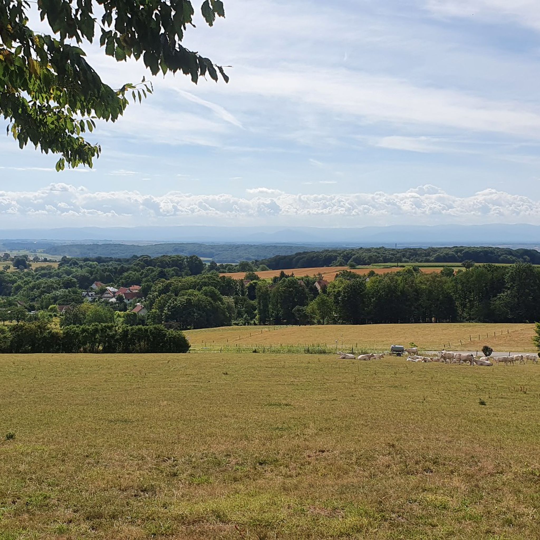
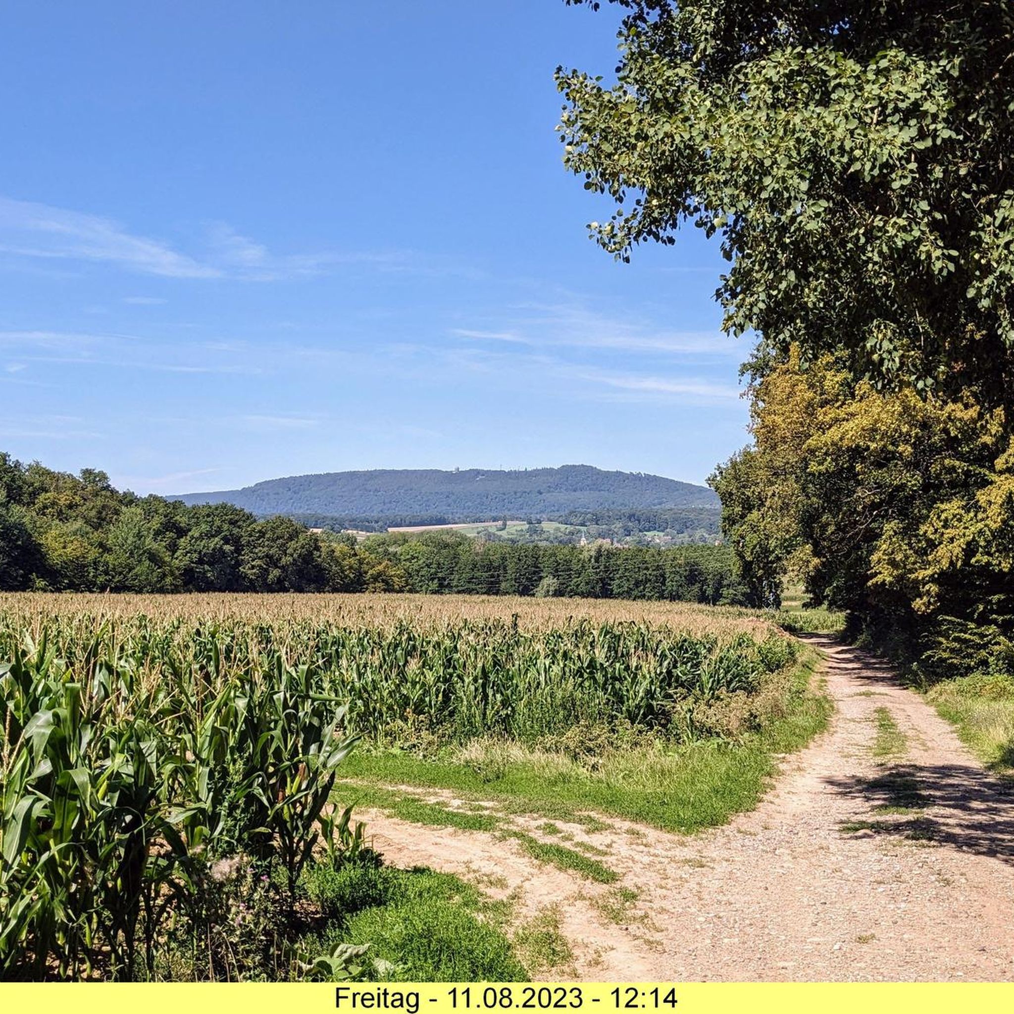
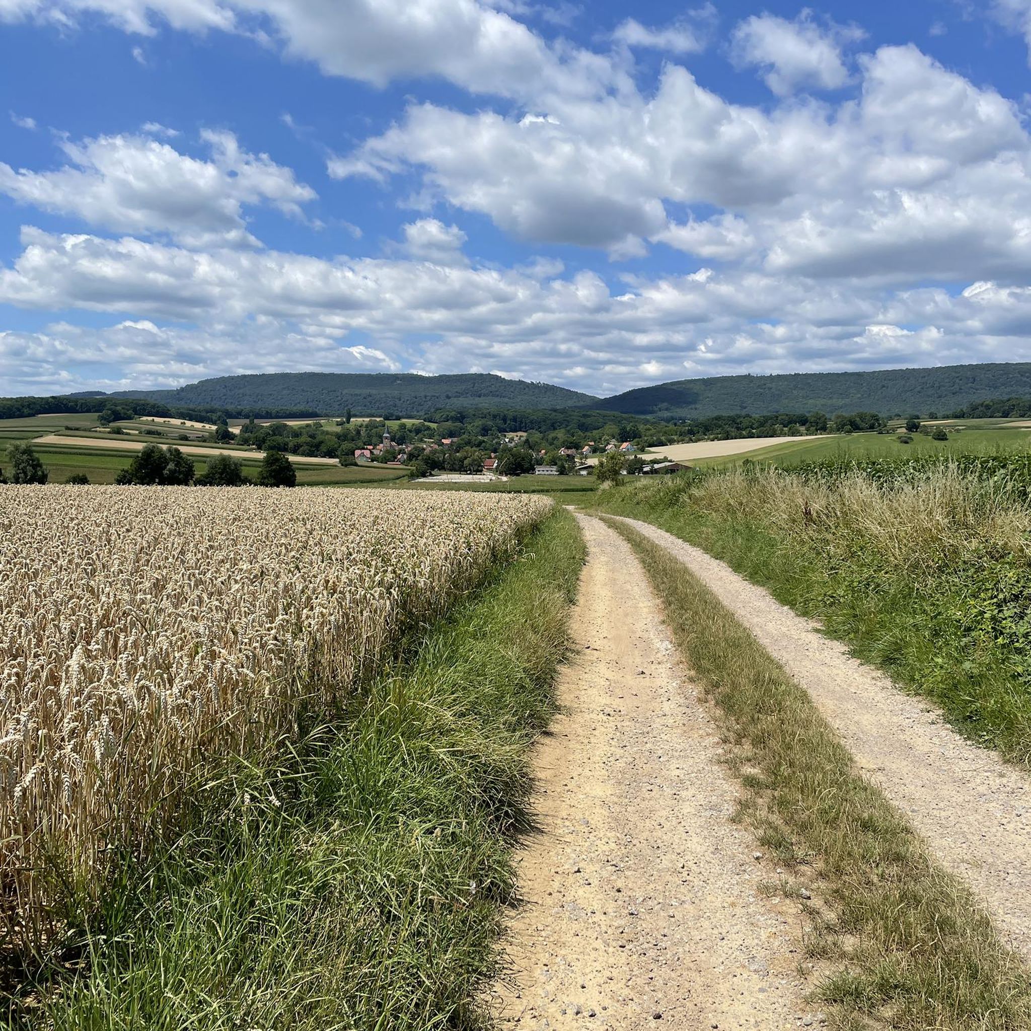
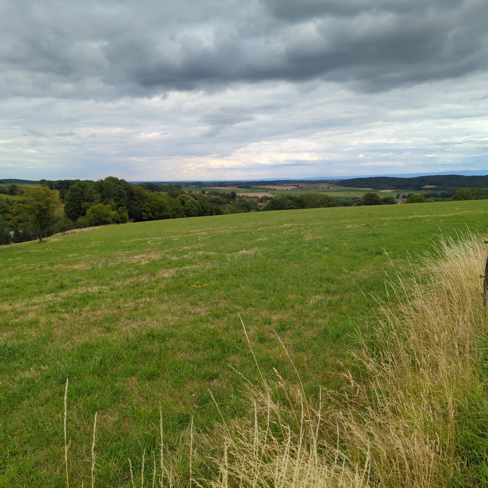
Tips from the Community

The rock is located approximately 500 meters southeast of the southern summit, on the French side of the Schlossberg with the Hohenburg Castle. The mountain is located directly on the German-French border in the Wasgau mountain range, the French part of which is known there as the Northern Vosges. A mountain ridge runs from the southern summit over the Löwenstein to the rock.
5
0

The nexus from which to drop into several great trails. You can explore the single trail network, meet likeminded people and take a well deserved break here.
0
0

A steep climb up to the castles that stand here like radishes in a field...😊
16
1
Great rock massif for dreamy moments… beautiful views
12
1


Good place to shelter in the rain.
1
0
Great trails towards the hamlet.
1
0

The Kappelstein is a large red sandstone rock on which the border between Germany and France runs in the middle. There is a plaque here that says there used to be a watchtower here. The four concrete anchorages can be seen, the rotted beams lie next to them. From here you can see the border village of Nothweiler and the French castle ruins of Hohenbourg and Löwenstein.
3
0
Frequently Asked Questions
What are some notable elevated points or viewpoints in the Drachenbronn-Birlenbach area?
While Drachenbronn-Birlenbach is in the foothills of the Vosges mountains rather than having towering peaks, several elevated points offer unique experiences and views. The Chemin des Cimes Alsace provides a treetop walk and panoramic tower. Other significant spots include Kappelstein, a summit on the French-German border, Krappenfels, a viewpoint near the former Loewenstein castle, and the Scherhol Refuge, a historical hut with a viewpoint.
Are there any historical sites among the elevated points around Drachenbronn-Birlenbach?
Yes, the region has several elevated points with historical significance. The Kappelstein summit marks the border between France and Germany, with a plaque explaining its past as a French watchtower. The Scherhol Refuge was originally a redoubt from 1708 and later served as a station for an optical telegraph and a lookout point. The broader Massif du Hochwald also holds historical importance as part of the Maginot Line.
What unique experiences do the elevated areas offer for families?
The Chemin des Cimes Alsace is particularly family-friendly. It features an accessible wooden pathway above the treetops, leading to a panoramic tower with a thrilling 75-meter slide. The site also includes the "Forêt d'Aventure Alsace," a large playground with over 20 natural play and educational facilities, making it an ideal destination for families.
What kind of views can I expect from the viewpoints in the region?
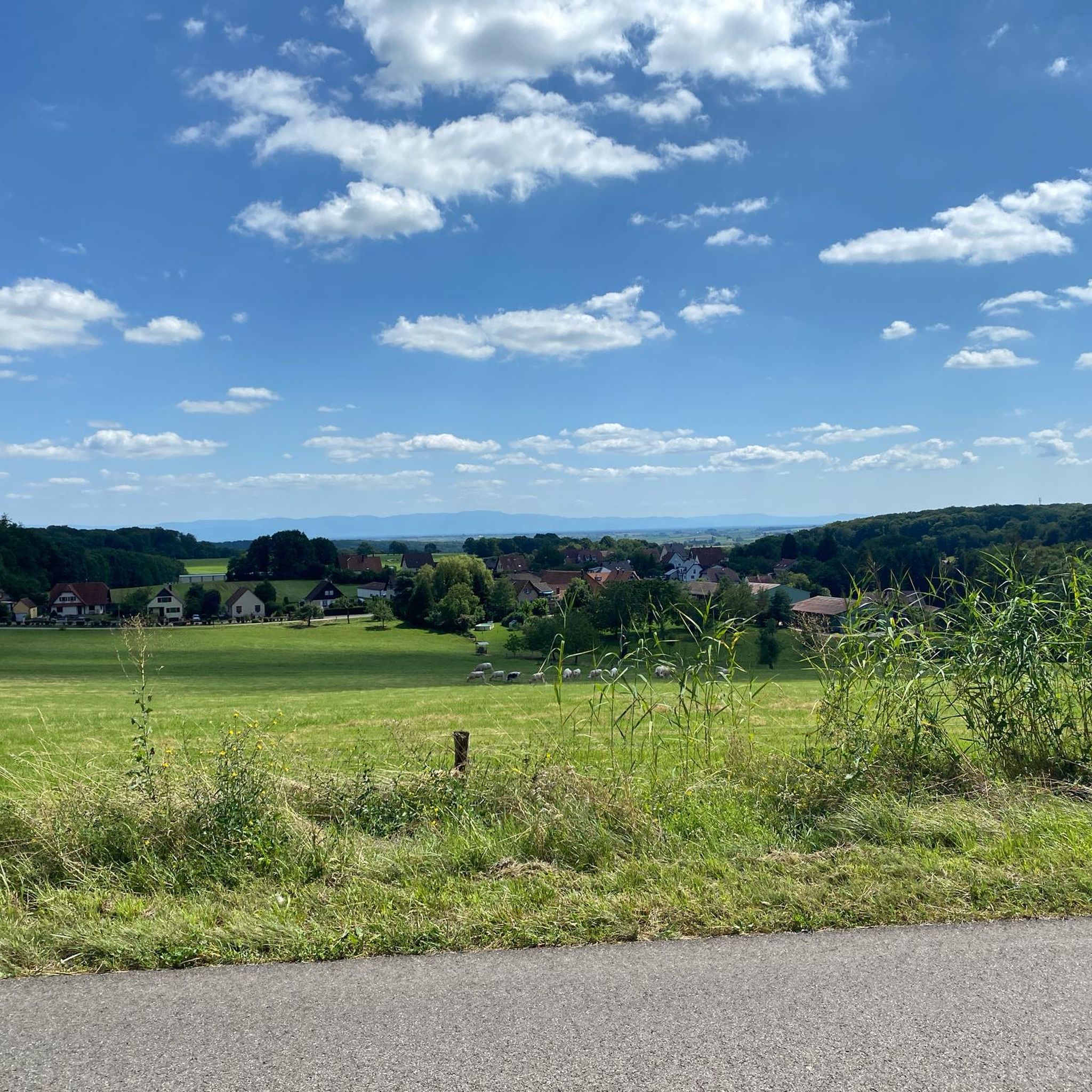
From the 29-meter high panoramic tower of the Chemin des Cimes Alsace, you can enjoy breathtaking 360-degree vistas encompassing the Northern Vosges, the Rhine plain, and even the Black Forest in Germany. From Kappelstein, you can see the castle ruins of Wegelnburg, Hohenbourg, and Löwenstein. The Krappenfels also offers very nice views of the surrounding area.
Are there accessible options for visitors with strollers or wheelchairs?
Yes, the Chemin des Cimes Alsace is designed to be accessible for everyone. Its wooden pathway spans 1,050 meters with a gentle maximum gradient of 6%, making it suitable for visitors with wheelchairs and strollers.
What hiking opportunities are available near Drachenbronn-Birlenbach's elevated areas?
The region offers various hiking trails. You can find routes like the "Superb view in the distance – Pfaffenschlick Pass loop" or the "Soultzerkopf Hut – Pfaffenschlick Pass loop." For more options, explore the hiking guide for Drachenbronn-Birlenbach, which includes trails of varying difficulties.
Are there cycling routes in the vicinity of these elevated points?
Yes, there are several cycling routes. You can find touring bicycle routes such as the "View of the Vosges – Place du Marche aux Choux loop" or the "Col du Pigeonnier – Scherhol Refuge loop." For road cycling, options like the "Pfaffenschlick Pass – Cycle path to Lembach loop" are available. Check the cycling guide and road cycling guide for Drachenbronn-Birlenbach for detailed routes.
When is the best time of year to visit the elevated areas around Drachenbronn-Birlenbach?
The region is particularly vibrant during autumn, when the changing colors of the foliage create a stunning landscape, especially visible from panoramic viewpoints like the Chemin des Cimes Alsace. Spring and summer also offer pleasant conditions for outdoor activities and enjoying the natural beauty.
What do visitors enjoy the most about Drachenbronn-Birlenbach's elevated areas?
Visitors highly appreciate the diverse viewpoints and the unique experiences offered. The Kappelstein is loved for its beautiful path and gentle incline, while Krappenfels is noted as a very nice viewpoint. The Chemin des Cimes Alsace is praised for its accessibility and breathtaking panoramic views.
Can I bring my dog on trails around Drachenbronn-Birlenbach's elevated areas?
While specific dog leash rules for every trail are not detailed, the Northern Vosges Regional Natural Park generally welcomes dogs. It's always advisable to keep dogs on a leash, especially in protected areas or near wildlife, and to check local signage for any specific restrictions on individual trails or attractions.
What is the highest point in the Drachenbronn-Birlenbach area?
The maximum altitude in the Drachenbronn-Birlenbach area, situated in the foothills of the Vosges mountains, reaches approximately 491 meters (about 1,611 feet).
Are there any shelters or huts available on the trails?
Yes, the Scherhol Refuge is a hut managed by the Vosges club. It does not offer food but serves as a shelter or 'Unterstellhütte' where you can take a break.
What makes Kappelstein a special place to visit?
Kappelstein is a very special place because the border between France and Germany runs exactly over its summit. A plaque at the site explains its history, including a time when a French watchtower stood there. It also offers beautiful views of nearby castle ruins.
Most popular routes around Drachenbronn-Birlenbach
Most popular attractions around Drachenbronn-Birlenbach

Get inspired with the komoot mobile app


Explore more
See even more amazing summits around Drachenbronn-Birlenbach with these guides:
