The 5 Most Amazing Peaks around Morata De Tajuña
Best mountain peaks around Morata De Tajuña are characterized by elevated terrain and scenic viewpoints rather than high-altitude summits. Located in the Community of Madrid, the area offers a natural landscape along the Tajuña River valley, providing accessible paths for outdoor activities. These elevated areas and trails offer rewarding experiences for hikers of various fitness levels. The region is known for its hiking trails and natural features, making it suitable for exploring the local environment.
Best mountain peaks around Morata…
Last updated: July 4, 2026
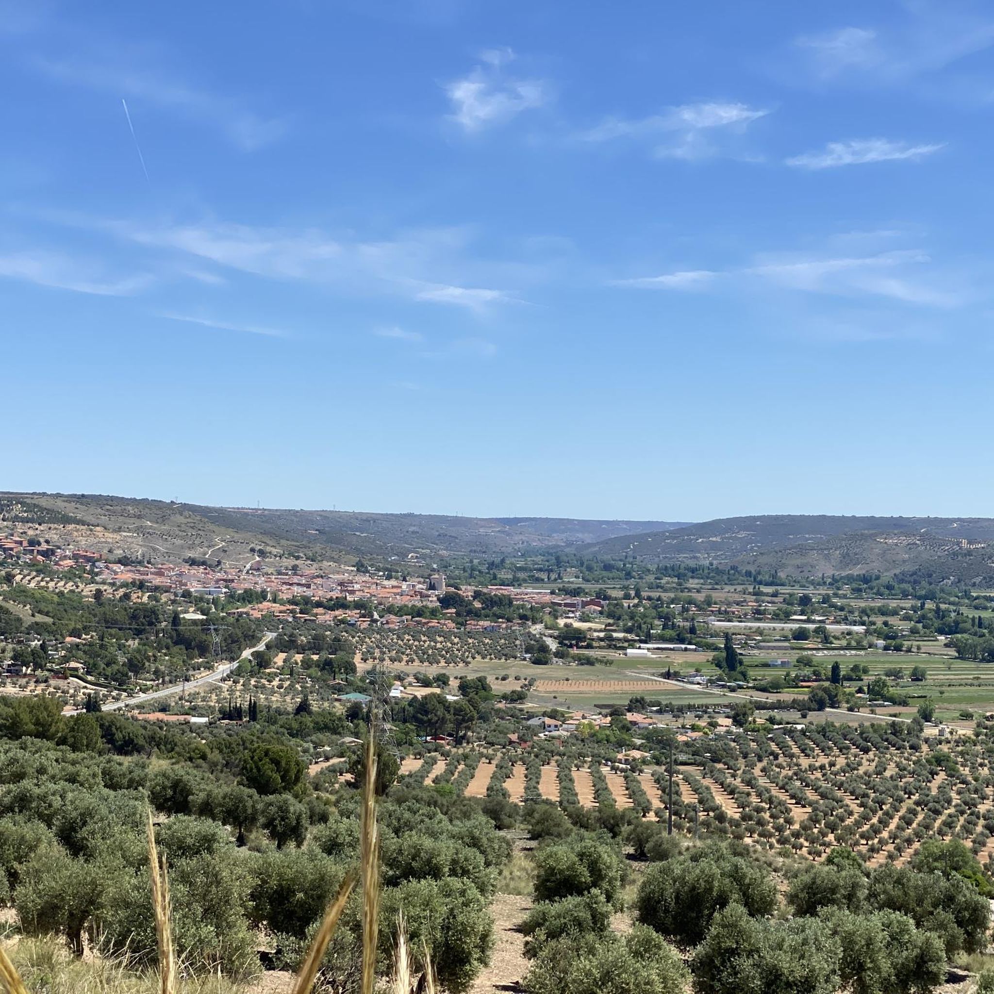
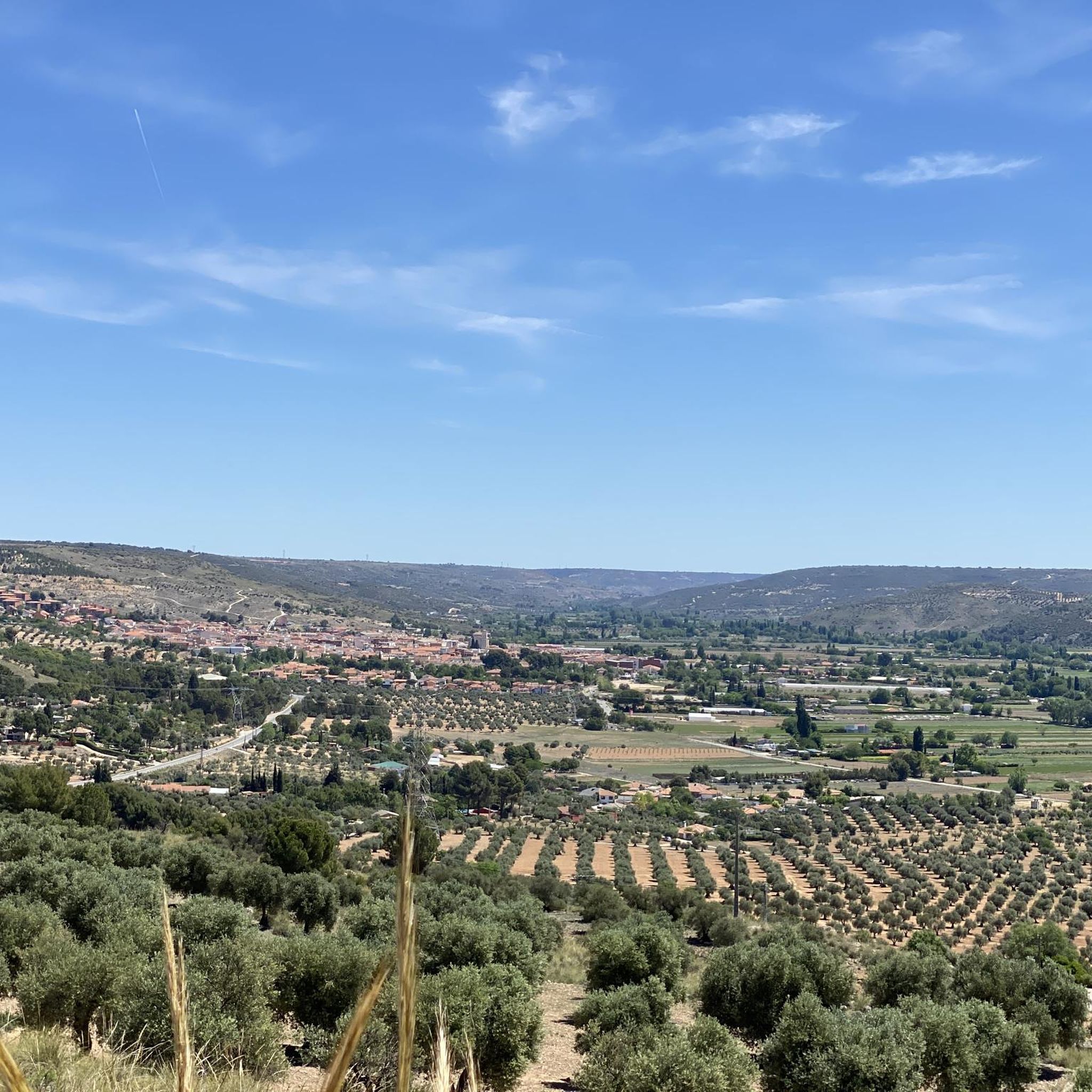
View from Vértice Geodésico Campillo
Highlight • Viewpoint
Translated by Google •
Tip by

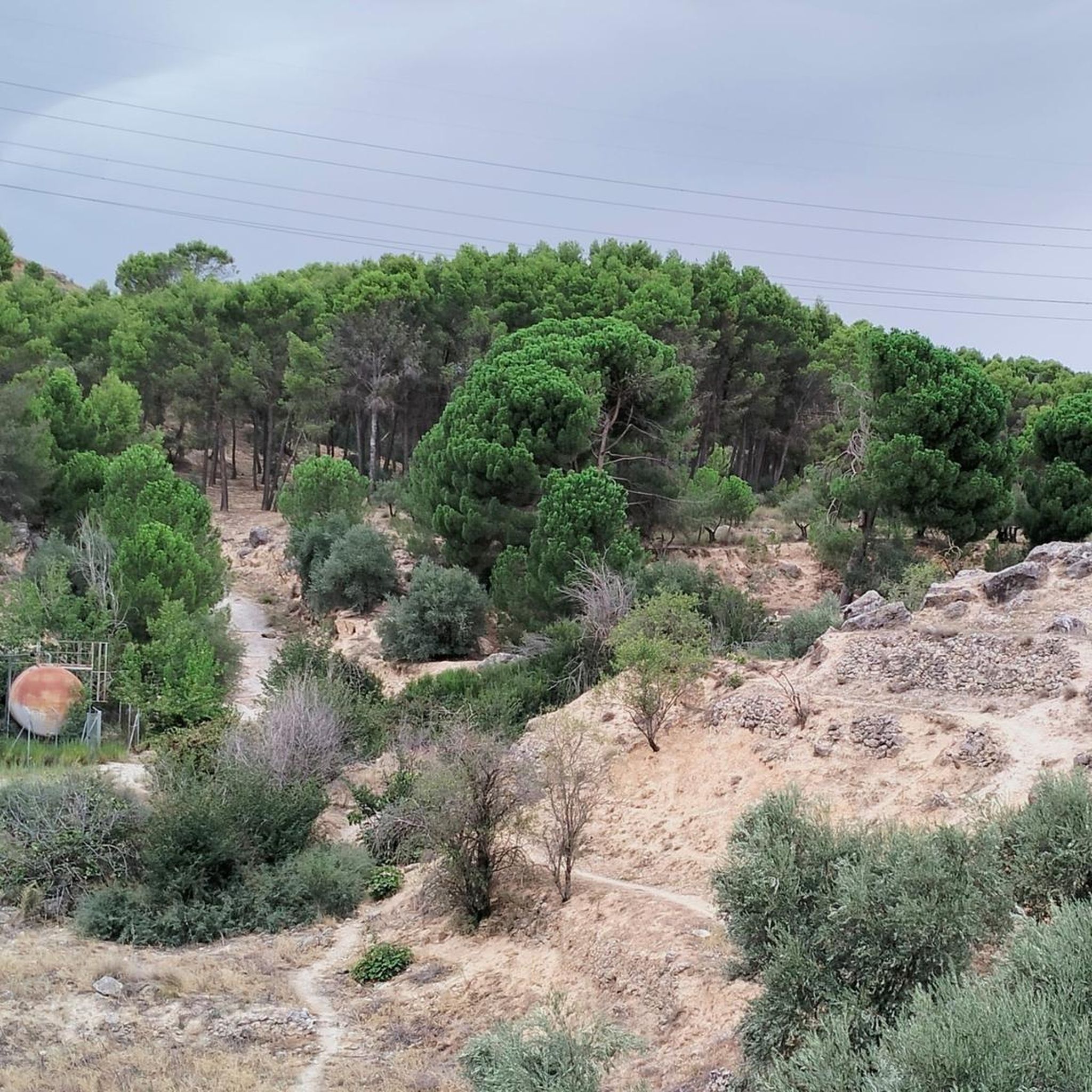
View from Cerro de Venus
Highlight • Viewpoint
Translated by Google •
Tip by

Sign up now to discover places like this
Get recommendations on the best single tracks, peaks, & plenty of other exciting outdoor places.
Sign up for free
Cerro Montecillo (752 m)
Highlight • Summit
Translated by Google •
Tip by

Villaverde Geodetic Vertex
Highlight • Monument
Translated by Google •
Tip by

Start today with a free account
Your next adventure awaits.
Login or Signup
Popular around Morata De Tajuña
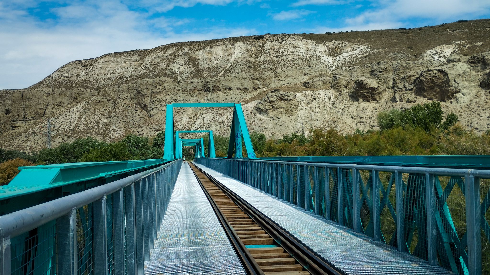
A family ride through Las Vegas de Madrid in Spain – Tajuña Greenway
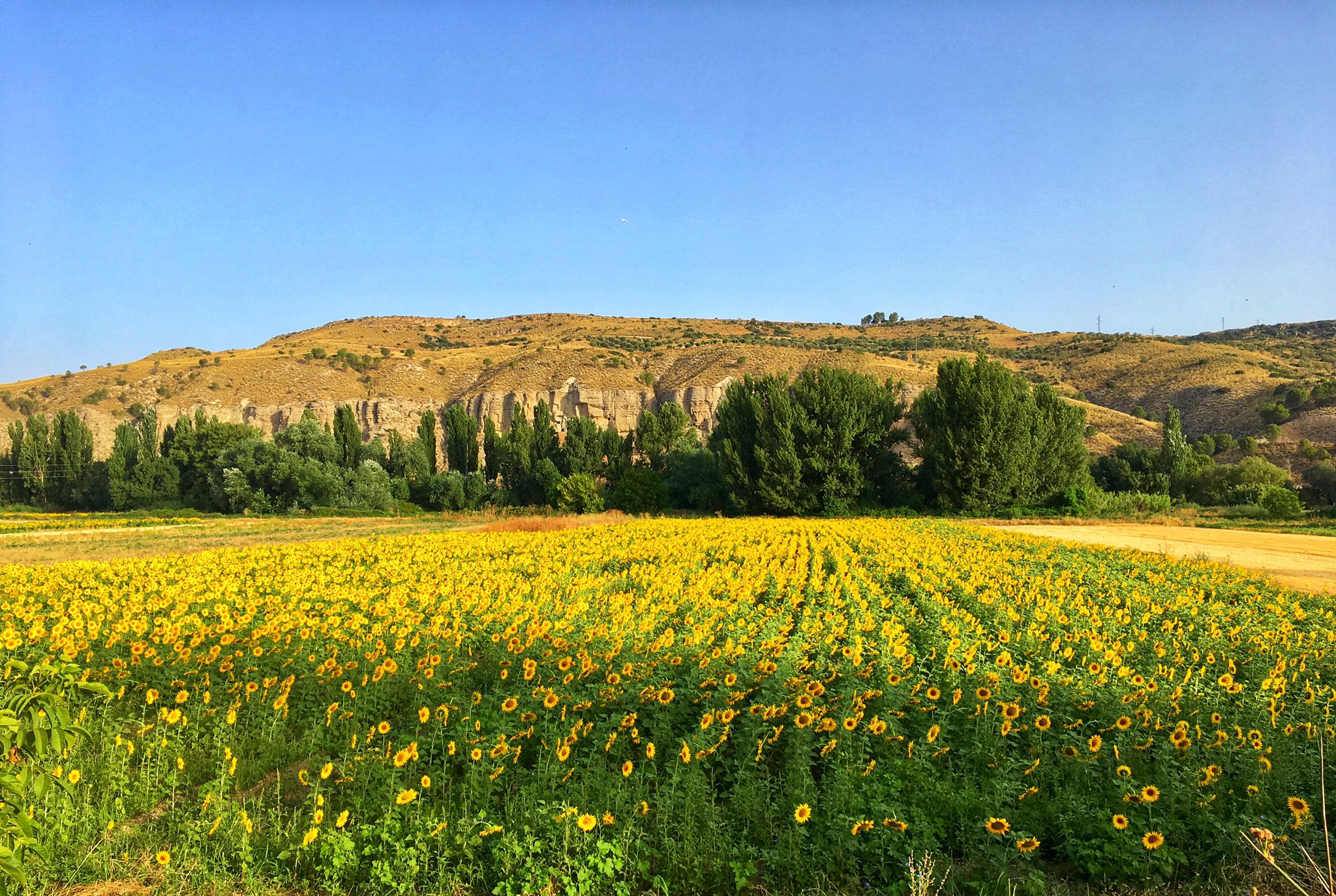
Palaces, rivers and fields — Las Vegas de Madrid gravel tour
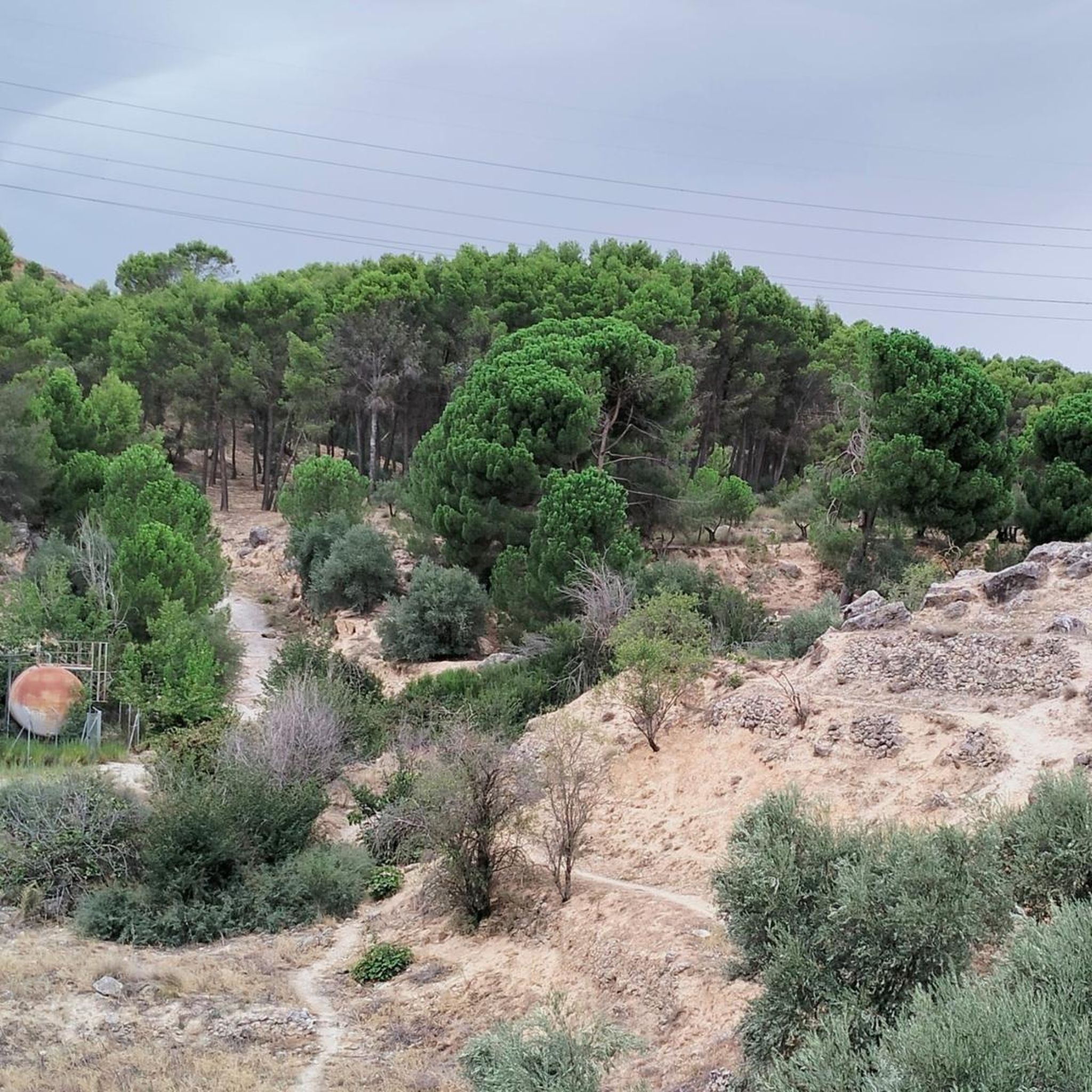
Road Cycling Routes around Morata De Tajuña
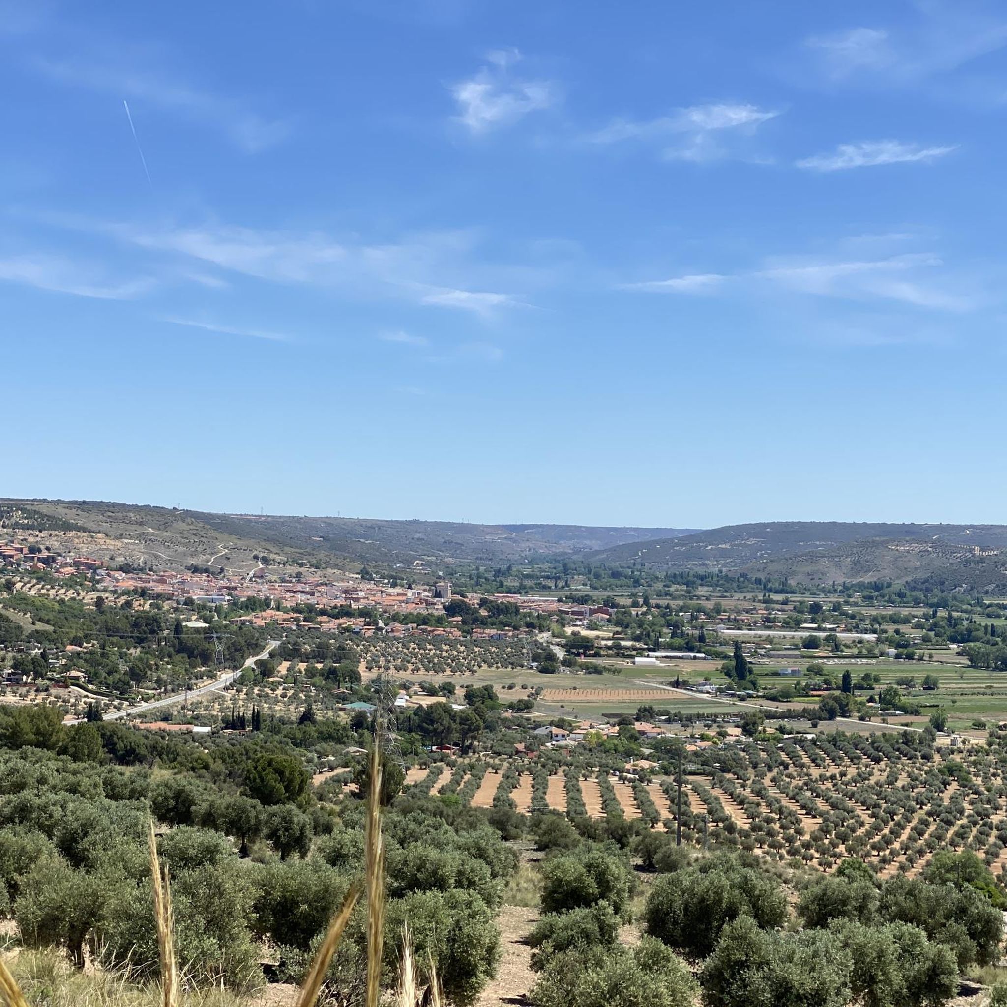
MTB Trails around Morata De Tajuña
Cycling around Morata De Tajuña
Gravel biking around Morata De Tajuña
Hiking around Morata De Tajuña
Running Trails around Morata De Tajuña

Tips from the Community

It is a hill 752 metres above sea level with great views of the countryside of Villaconejos and the distant Tajo valley, up to the Montes de Toledo, a place of contemplation and spectacular autumn sunsets.
0
0

Geodesic vertex nº56000 Campillo
0
0

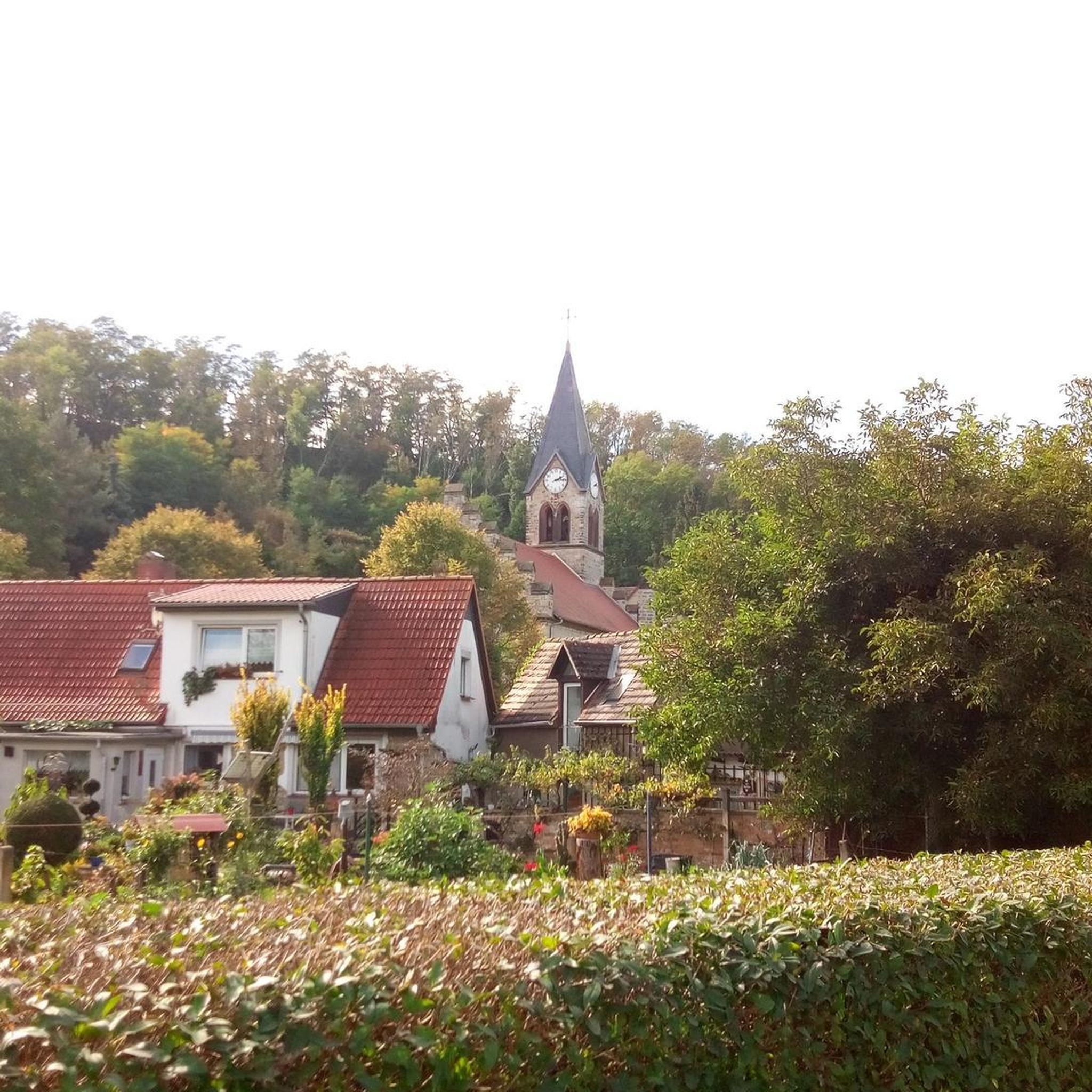
At the top of the Cabeza de Villaverde is located Geodesic Vertex No. 58320, forming part of the more than eleven thousand vertices spread across the Peninsula, protected by law since 1975.
1
0

The Campillo geodesic vertex (671 m) is the highest point of the route, with extraordinary views of the Jarama River plain and the Velilla de San Antonio wetlands.
1
0

Next to the San Juan lagoons and going up a steep slope we find this hill with spectacular views of the entire Vega and the lagoons. On the way up we can also see a deep abyss, the crater of Venus. Awesome
2
0
Frequently Asked Questions
What are some of the most notable elevated points and viewpoints around Morata de Tajuña?
The region offers several rewarding elevated points and viewpoints. Among them are ⛰️ END La Marañosa, known as the highest point in the southern area of Madrid, and View from Vértice Geodésico Campillo, which provides extraordinary views of the Jarama River plain and the Velilla de San Antonio wetlands. Another popular spot is View from Cerro de Venus, offering spectacular views of the entire Vega and its lagoons.
What kind of hiking experiences can I expect around Morata de Tajuña?
Hiking around Morata de Tajuña is characterized by scenic trails and natural landscapes along the Tajuña River valley. While not high-altitude summits, the elevated terrain offers accessible paths suitable for various fitness levels. You'll find routes ranging from easy to moderate, perfect for enjoying the local environment and natural beauty.
Are there family-friendly options for exploring the elevated areas near Morata de Tajuña?
Yes, many of the trails around Morata de Tajuña are suitable for families. Routes like the Cornicabra Station loop are classified as easy hikes, taking less than two hours with minimal elevation gain, making them ideal for beginners or families with children. The accessible paths ensure a pleasant experience for all.
Can I bring my dog on the trails around Morata de Tajuña's elevated areas?
The natural trails and elevated areas around Morata de Tajuña are generally welcoming to dogs. It's always a good practice to keep your dog on a leash and ensure you clean up after them to maintain the natural environment for everyone.
What are the best times of year to visit Morata de Tajuña for outdoor activities?
The area is pleasant for outdoor activities throughout much of the year. Spring and autumn typically offer the most comfortable temperatures for hiking and cycling, with lush landscapes in spring and beautiful colors in autumn. Summers can be hot, so early morning or late afternoon activities are recommended, while winters are generally mild enough for walks.
Where can I find panoramic views of the surrounding landscape?
For panoramic views, consider visiting View from Vértice Geodésico Campillo, which offers extensive vistas of the Jarama River plain and wetlands. Another excellent spot is View from Cerro de Venus, providing spectacular views of the Vega and lagoons. Cerro Montecillo (752 m) also offers great views of the Villaconejos countryside and the distant Tajo valley, especially beautiful during autumn sunsets.
What other outdoor activities are available near Morata de Tajuña's elevated areas?
Beyond hiking, Morata de Tajuña is excellent for cycling and gravel biking. You can explore various routes such as the Tajuña Greenway for cycling or challenging gravel tracks like the 'Gravel Track to Titulcia – Plaza Mayor de Chinchón loop'. For more details on routes, check out the Cycling around Morata De Tajuña and Gravel biking around Morata De Tajuña guides.
Are there any historical or cultural points of interest among the elevated areas?
Yes, some elevated points have historical significance. For instance, the Villaverde Geodetic Vertex, located atop Cabeza de Villaverde, is part of a national network of geodetic markers protected by law since 1975, offering a glimpse into Spain's cartographic history.
How long do typical hikes to these elevated points take?
Hikes to the elevated points around Morata de Tajuña vary in length and duration. For example, the Isla Tarai Mill – Morata de Tajuña loop is approximately 10.4 km and takes about 2 hours and 43 minutes. Shorter options like the Palomar de la Estacada – Morata de Tajuña Town Square loop are around 8.35 km, taking about 2 hours and 10 minutes. Many routes are designed for moderate enjoyment rather than strenuous, multi-hour treks.
What do visitors enjoy most about the elevated areas around Morata de Tajuña?
Visitors particularly appreciate the accessible nature of the trails and the rewarding views. The highest point of the southern area of Madrid, ⛰️ END La Marañosa, is noted for its characteristic elevation. The View from Vértice Geodésico Campillo is praised for its extraordinary views, and the View from Cerro de Venus is loved for its spectacular vistas of the Vega and lagoons, including the unique 'crater of Venus'.
Are there specific hiking trails to reach these elevated points?
Yes, there are several well-defined hiking trails that lead to or pass by these elevated points. For instance, the Isla Tarai Mill – Morata de Tajuña loop and the Palomar de la Estacada – Morata de Tajuña Town Square loop are popular choices that allow you to experience the local scenery and reach various viewpoints. You can find more detailed routes in the Hiking around Morata De Tajuña guide.
Is parking available near the trailheads for these elevated areas?
While specific parking details for each trailhead may vary, Morata de Tajuña is generally accessible, and you can often find parking in or near the town center, which serves as a starting point for many loops. It's advisable to check local signage for any restrictions or designated parking areas before your visit.
Most popular routes around Morata De Tajuña
Most popular attractions around Morata De Tajuña

Get inspired with the komoot mobile app


Explore more
See even more amazing summits around Morata De Tajuña with these guides:
