Top 7 Caves around Morata De Tajuña
Caves near Morata De Tajuña offer a glimpse into the region's historical and archaeological past. Located in the Community of Madrid, this area features a landscape shaped by the Tajuña river, with formations like gypsum and limestone cliffs. The caves here reflect past human habitation, traditional livelihoods, and wartime uses. These natural and man-made structures provide insight into the local geology and historical adaptation.
Best caves around Morata De Tajuña
- The most popular caves is View of the Caves Cliff…
Last updated: July 4, 2026
Civil War Caves
Highlight • Cave
Later they were used to plant mushrooms and other similar mushrooms.
At present they are closed to avoid their destruction.
Translated by Google •
Tip by

Hill and Caves of the Southeast Regional Park
Highlight • Cave
Translated by Google •
Tip by

Sign up now to discover places like this
Get recommendations on the best single tracks, peaks, & plenty of other exciting outdoor places.
Sign up for free
The Chinchón Sinkhole
Highlight • Cave
Translated by Google •
Tip by

View of the Caves Cliff in Tielmes
Highlight • Cave
Translated by Google •
Tip by

Risco de las Cuevas of Perales de Tajuña
Highlight • Cave
Translated by Google •
Tip by

Sign up for free to discover even more caves around Morata De Tajuña.
Sign up for free
Already have an account?
Start today with a free account
Your next adventure awaits.
Login or Signup
Popular around Morata De Tajuña
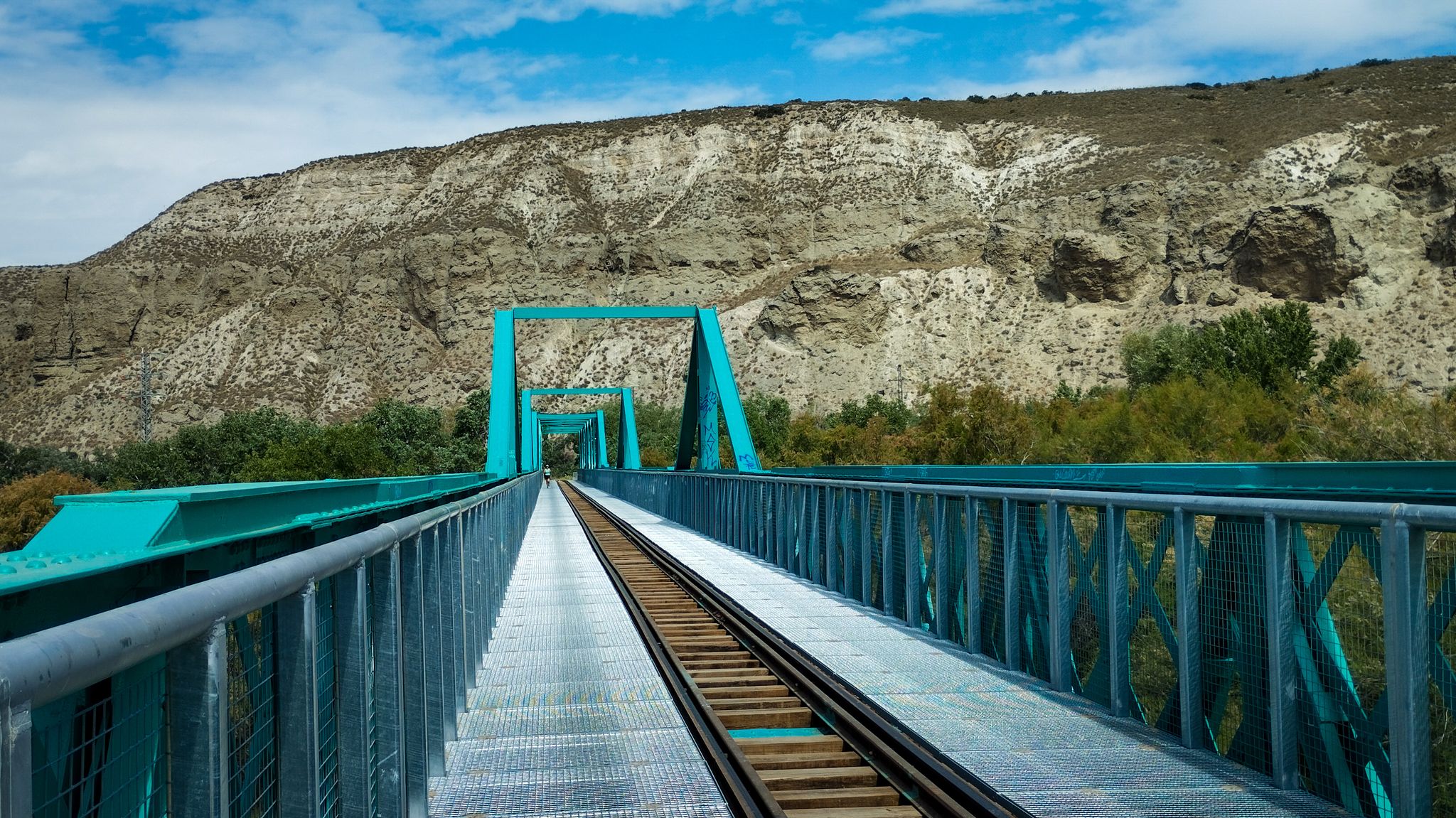
A family ride through Las Vegas de Madrid in Spain – Tajuña Greenway
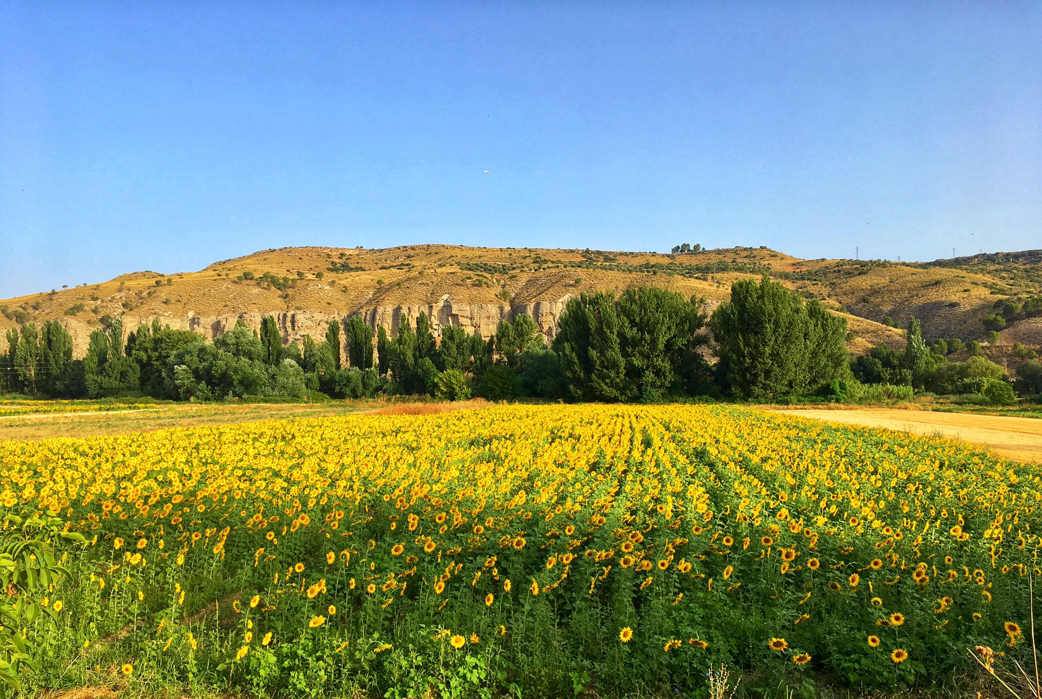
Palaces, rivers and fields — Las Vegas de Madrid gravel tour
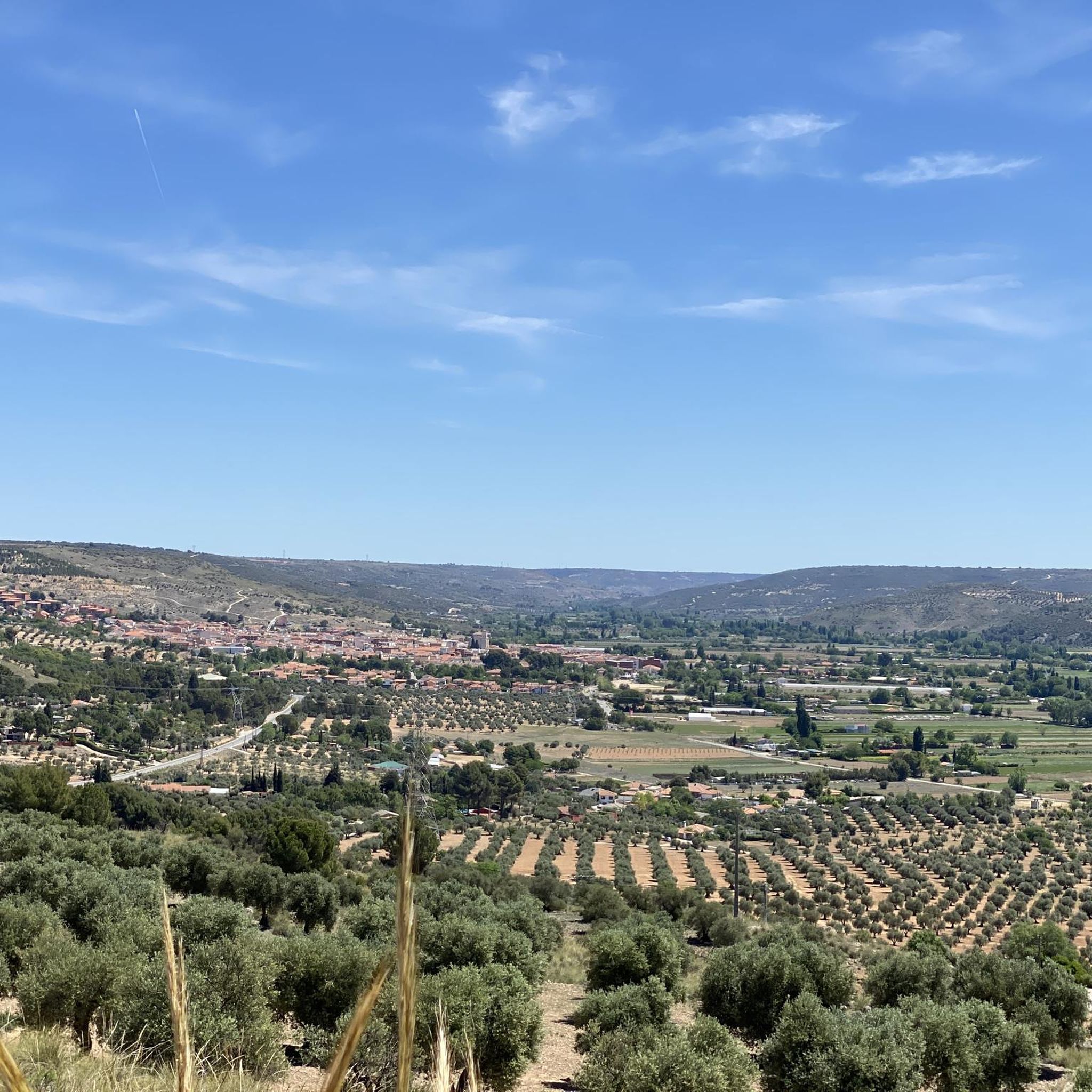
Road Cycling Routes around Morata De Tajuña
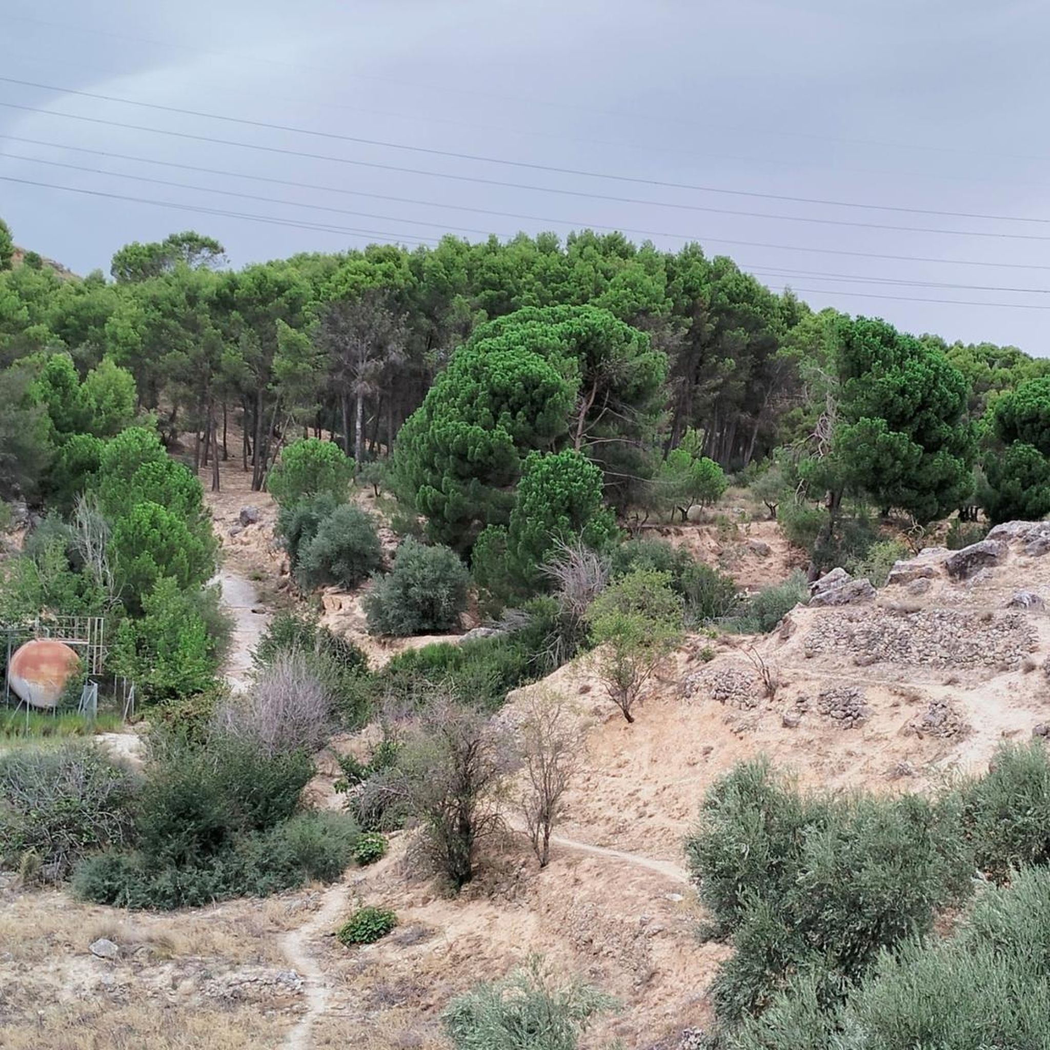
MTB Trails around Morata De Tajuña
Cycling around Morata De Tajuña
Gravel biking around Morata De Tajuña
Hiking around Morata De Tajuña
Running Trails around Morata De Tajuña

Tips from the Community

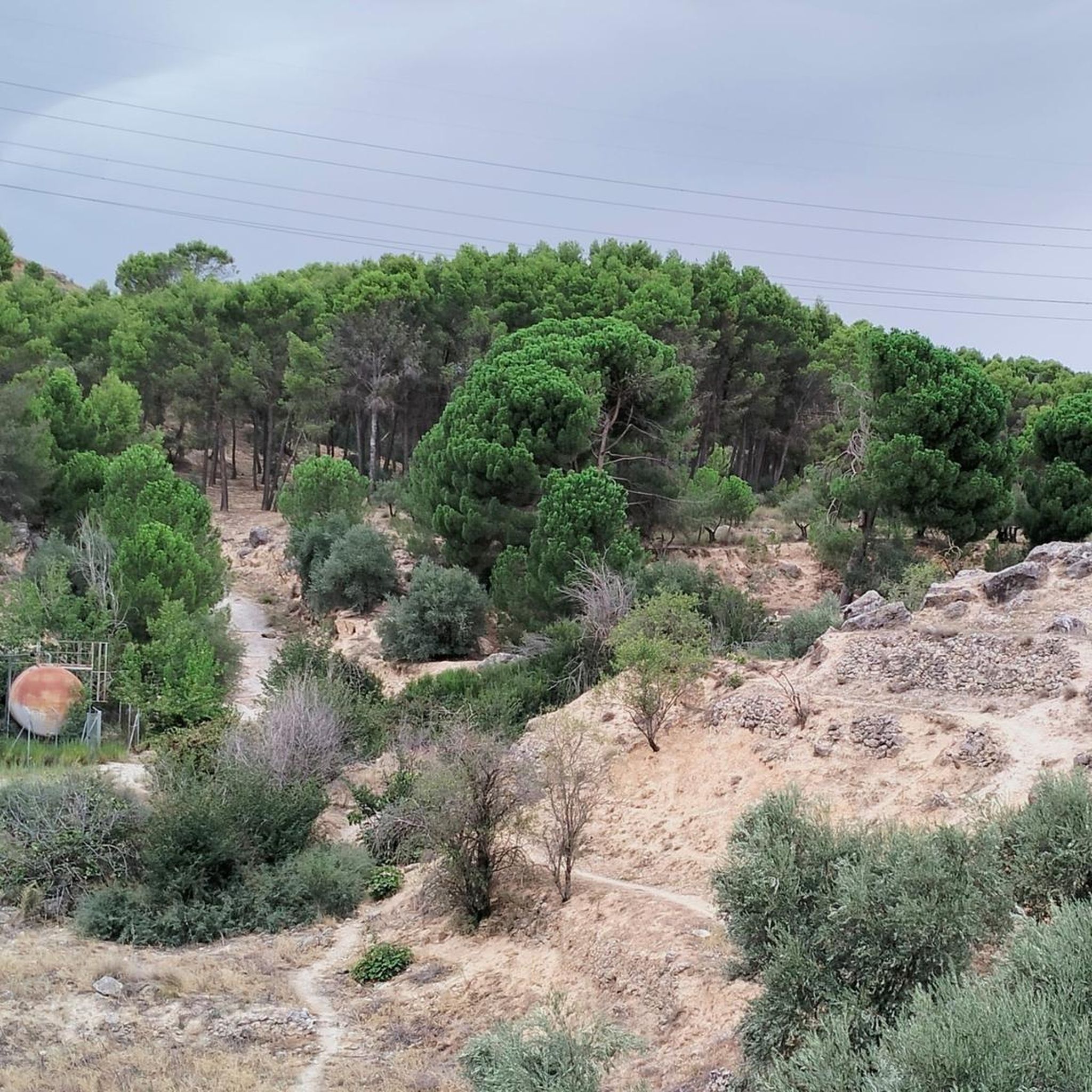
The caves of the primitive Carpetanian settlement of Caraca are a window in time, from the first Carpetanian inhabitants to the present day, representing the different cultures that have populated the Tajuña valley over time. The current state shows the deterioration typical of a hillside made of marl and gypsum that is brittle and easily eroded. In the time of the Carpetanians, it was a troglodyte settlement with interior passages that connected different galleries, had water channels, warehouses and houses protected from intruders at a certain height from the ground, accessed by ladders and ropes. In the middle of the last century, the Risco de las Cuevas was the setting for several films.
0
0

On the Jarama front, taking advantage of the structure and characteristics of the terrain, the excavation of caves was common, from small individual shelters to large caves (like the one we can see on the “Secrets of the Greenway” route. Element 8) and tunnels that allowed entire squads or platoons to be housed, the installation of command posts, health posts, warehouses, etc. These excavations, on the one hand, allowed the troops to be hidden from the sight of the enemy and offered good protection in case of bombing, and on the other, they offered a certain degree of comfort to the soldiers who remained in them. These caves usually have many common elements, such as the existence of small holes to support camping equipment or personal objects or chimneys for the escape of smoke. After the Civil War, this type of caves have had various uses. One of them, and a very important one, was the cultivation of mushrooms, carried out until the mid-eighties of the 20th century.
2
0

Due to the characteristics of the terrain, caves have been built throughout history, which have served very different purposes. In this area we have clear examples.
2
0
These are excavations carried out on the ground to protect citizens during the bombings of the Spanish Civil War. Later they were used to plant mushrooms and other similar mushrooms. At present they are closed to avoid their destruction.
9
0

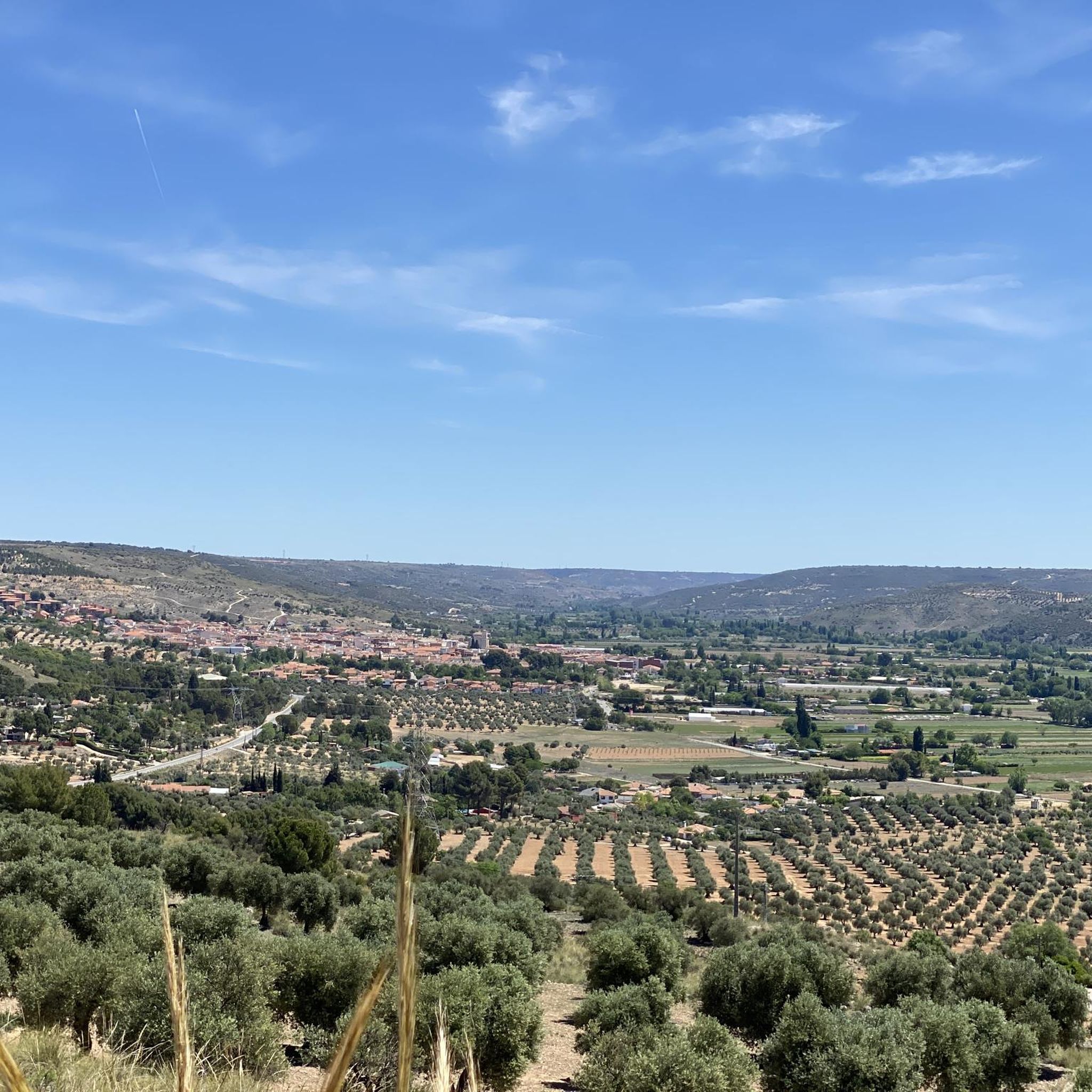
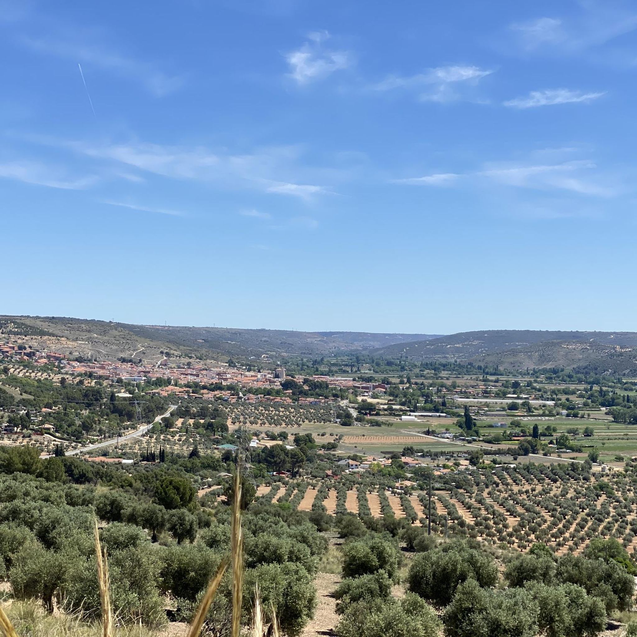
The Southeast Regional Park covers an area of 31,550 hectares in 16 municipalities of Madrid populations in constant expansion in the southeast of the capital, accentuating the peri-urban nature of the protected space, located in one of the most populated and industrialized areas of the Community of Madrid . A rich natural heritage of lagoons, wetlands, riverside forests, river groves and steppe hills make up a valuable set of ecosystems that are home to a unique flora and fauna in an environment of housing estates, roads, industrial farms and railways. A succession of strong contrasts that contribute to further elevate the environmental quality of the territory and the need to conserve these valuable wildlife refuges on the outskirts of the big city.
2
0

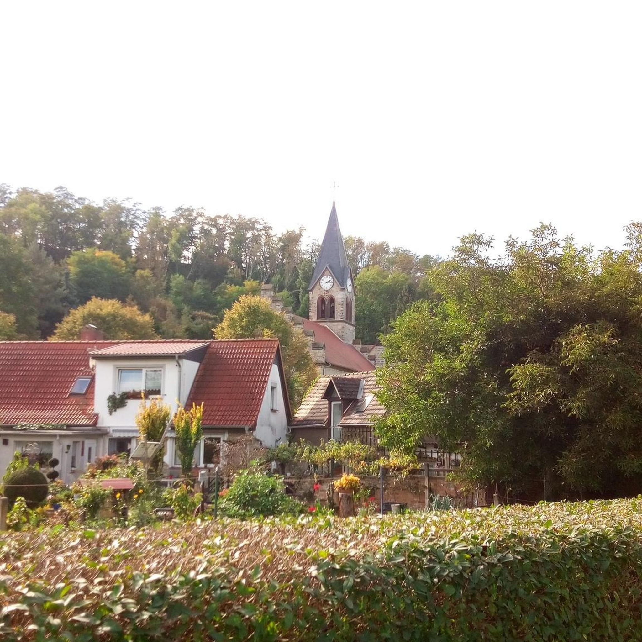
From the Tajuña greenway you can see many cliffs and cliffs of gypsum and limestone excavated for thousands of years by the river. At the height of Tielmes, you can see some cavities that are machine gun nests, lookouts, trenches and bunkers from the civil war built by the Republican army to contain the advance of the national troops on the capital.
3
1

It's kind of scary to look out. Better do it with caution
0
0

The first time I see you recommend breaking your legs ... hahahaha
0
0
Frequently Asked Questions
What kind of historical significance do the caves around Morata de Tajuña have?
The caves in this region are primarily known for their historical and archaeological importance. They offer a glimpse into past human habitation, traditional livelihoods, and even served as refuges during the Spanish Civil War. You can find ancient cave dwellings, artificial shelters used by agricultural guards, and wartime bunkers.
Are there any caves related to the Spanish Civil War in the area?
Yes, Morata de Tajuña was a crucial area during the Spanish Civil War. Many caves in the hillsides were repurposed as anti-aircraft shelters. A notable example is the Civil War Caves, located about two and a half kilometers from Morata de Tajuña on the M-302 road. These caves were excavated or enlarged during the war, featuring disguised entrances and interconnected rooms, reflecting the conflict's impact on the local population. Additionally, the View of the Caves Cliff in Tielmes features cavities that served as machine gun nests and bunkers.
Can I see ancient cave dwellings near Morata de Tajuña?
Yes, the region is home to ancient cave dwellings. The Risco de las Cuevas of Perales de Tajuña features ancient cave dwellings carved directly into the rock, providing insight into how early communities lived. There were also many 'casa-cueva' or cave-houses throughout Morata de Tajuña and the Tajuña valley, some inhabited until the 1960s, showcasing a unique historical architectural style.
What natural geological features can I expect to see around the caves?
The landscape around Morata de Tajuña is shaped by the Tajuña river, featuring gypsum and limestone cliffs. You can observe various geological formations, including the distinct The Chinchón Sinkhole, which is a challenging natural monument. The region's soft clay and gypsum soils made it easy for both natural processes and human activity to create these cave structures.
Are there any protected natural areas featuring caves?
Yes, the Hill and Caves of the Southeast Regional Park is a natural monument and protected space. It covers a large area with a rich natural heritage of lagoons, wetlands, and steppe hills, offering a valuable set of ecosystems within a peri-urban environment.
What outdoor activities can I combine with a visit to the caves?
The area around Morata de Tajuña offers various outdoor activities. You can explore MTB Trails, enjoy Running Trails, or take on Road Cycling Routes. Many of these routes pass through scenic landscapes near the caves, allowing you to combine historical exploration with active recreation.
Are there hiking trails that lead to or pass by these caves?
Yes, there are hiking opportunities that allow you to explore the cave areas. For instance, the Tajuña greenway offers views of cliffs and cavities, including those at Tielmes. While specific cave-to-cave hiking trails are not explicitly detailed, many of the nearby MTB, running, and cycling routes traverse the same terrain, providing access to the general area where these caves are located.
What is the best time of year to visit the caves around Morata de Tajuña?
The caves can be visited year-round, but spring and autumn generally offer the most pleasant weather for exploring the outdoor sites and surrounding trails. Temperatures are milder, making hiking and walking more comfortable. Summers can be hot, and winters can be cool, so dress accordingly.
Are the caves around Morata de Tajuña suitable for families?
Many of the historical cave sites, particularly those that are more open or have established paths, can be suitable for families interested in history and light exploration. However, some sites, like The Chinchón Sinkhole, are described as challenging, so it's important to check the difficulty and accessibility of specific locations before visiting with children.
How accessible are the caves, and is there parking available?
Access to the caves varies. Some, like the Civil War Caves, are excavations on the ground, while others are carved into cliffs. For sites like the Cueva de Picuneta, which is accessible via the M-315 road from Morata, parking may be available nearby. For Risco de las Cuevas, it's advisable to check local information regarding specific access points and parking facilities, as some sites might require a short walk from the nearest road.
What is the typical difficulty level for exploring these caves?
The difficulty level varies significantly. Many historical cave dwellings and shelters are relatively easy to access and explore from the exterior. However, some natural formations or specific sites, such as The Chinchón Sinkhole, are classified as 'challenging' due to their terrain. It's best to research individual cave sites for specific difficulty ratings.
How long does it typically take to explore the caves in the region?
The time required to explore depends on the specific cave and your interest. Many sites, especially the historical ones, can be appreciated in 30 minutes to an an hour. If you plan to visit multiple caves or combine your visit with hiking or other outdoor activities, you should allocate a half-day or full day to the region.
Most popular routes around Morata De Tajuña
Most popular attractions around Morata De Tajuña

Get inspired with the komoot mobile app


Explore more
Extend your search for the best caves by checking out these guides of the top ones around Morata De Tajuña:
