The 7 Most Amazing Peaks around Tineo
Best mountain peaks around Tineo are found within a mountainous landscape in western Asturias, Spain, forming part of the Cantabrian Mountains. The region features significant elevations, with the highest point within the municipality reaching approximately 1,532 meters. Tineo offers challenging hiking trails and numerous viewpoints, providing extensive panoramic views of the surrounding natural features. This area is characterized by diverse terrain, ancient forests, and river valleys, making it a destination for outdoor activities.
Best mountain peaks around Tineo
- The most…
Last updated: July 4, 2026
Alto de La Marta
Highlight • Mountain Pass
Translated by Google •
Tip by

Highest Point of the Camino Primitivo
Highlight • Summit
Translated by Google •
Tip by

Sign up now to discover places like this
Get recommendations on the best single tracks, peaks, & plenty of other exciting outdoor places.
Sign up for free
Sanctuary of Our Lady of Acebo
Highlight • Religious Site
Translated by Google •
Tip by

Alto de Lavadoira
Highlight • Mountain Pass
Translated by Google •
Tip by

Alto de Santa Ana
Highlight • Mountain Pass
Translated by Google •
Tip by

Sign up for free to discover even more peaks around Tineo.
Sign up for free
Already have an account?
Start today with a free account
Your next adventure awaits.
Login or Signup
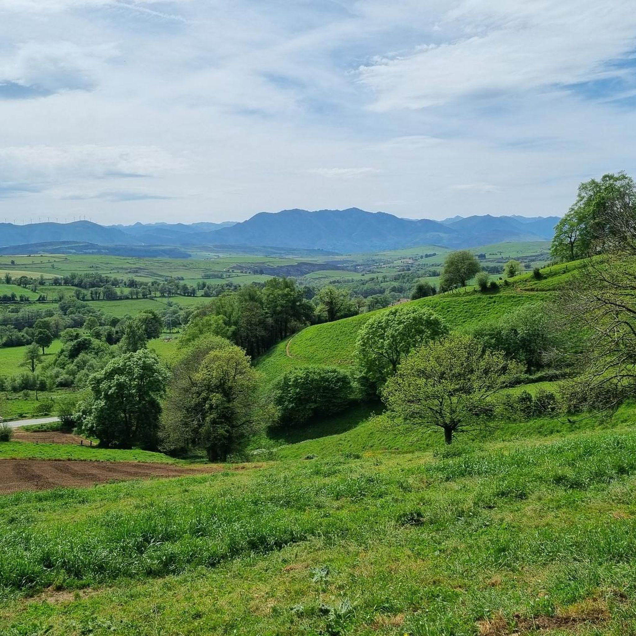
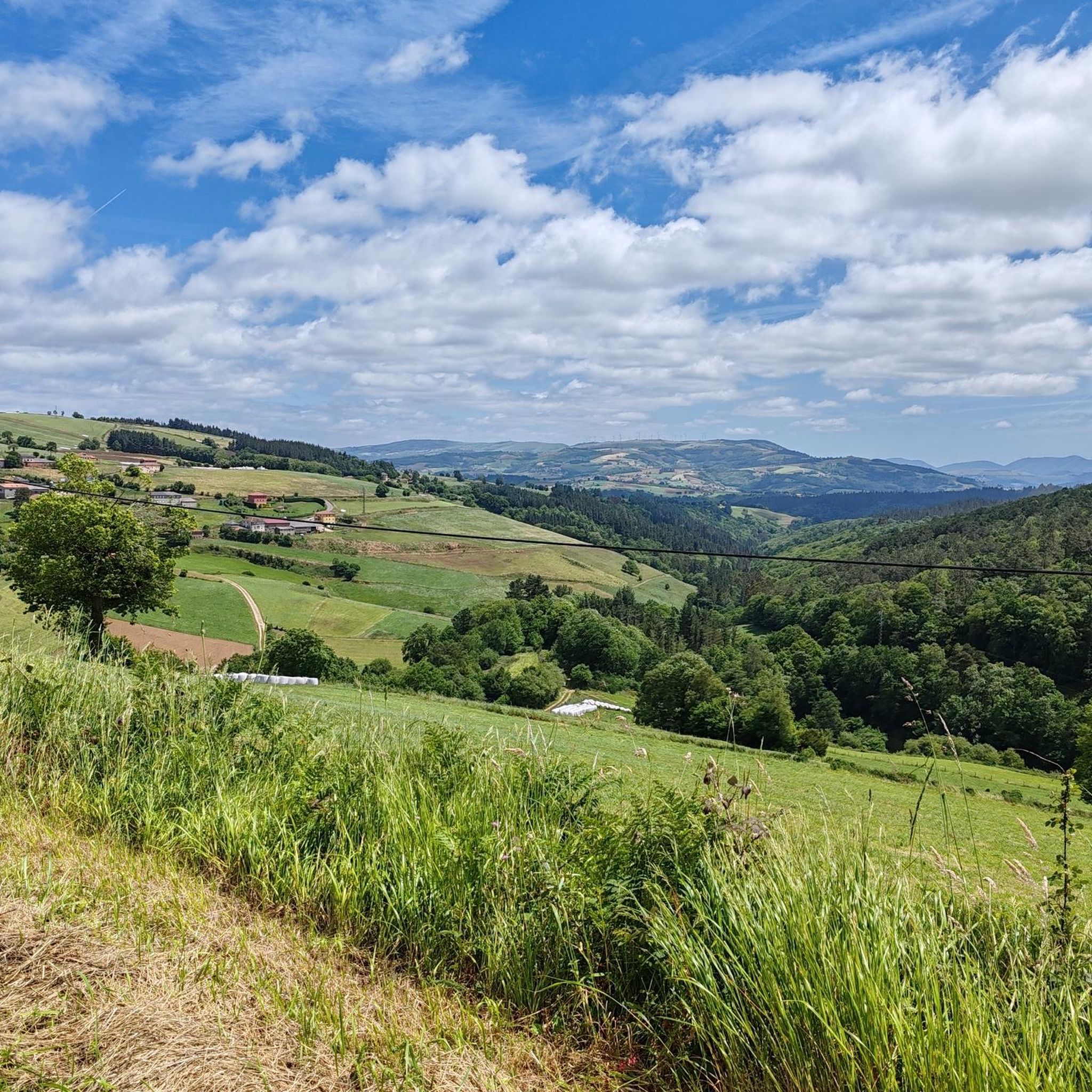
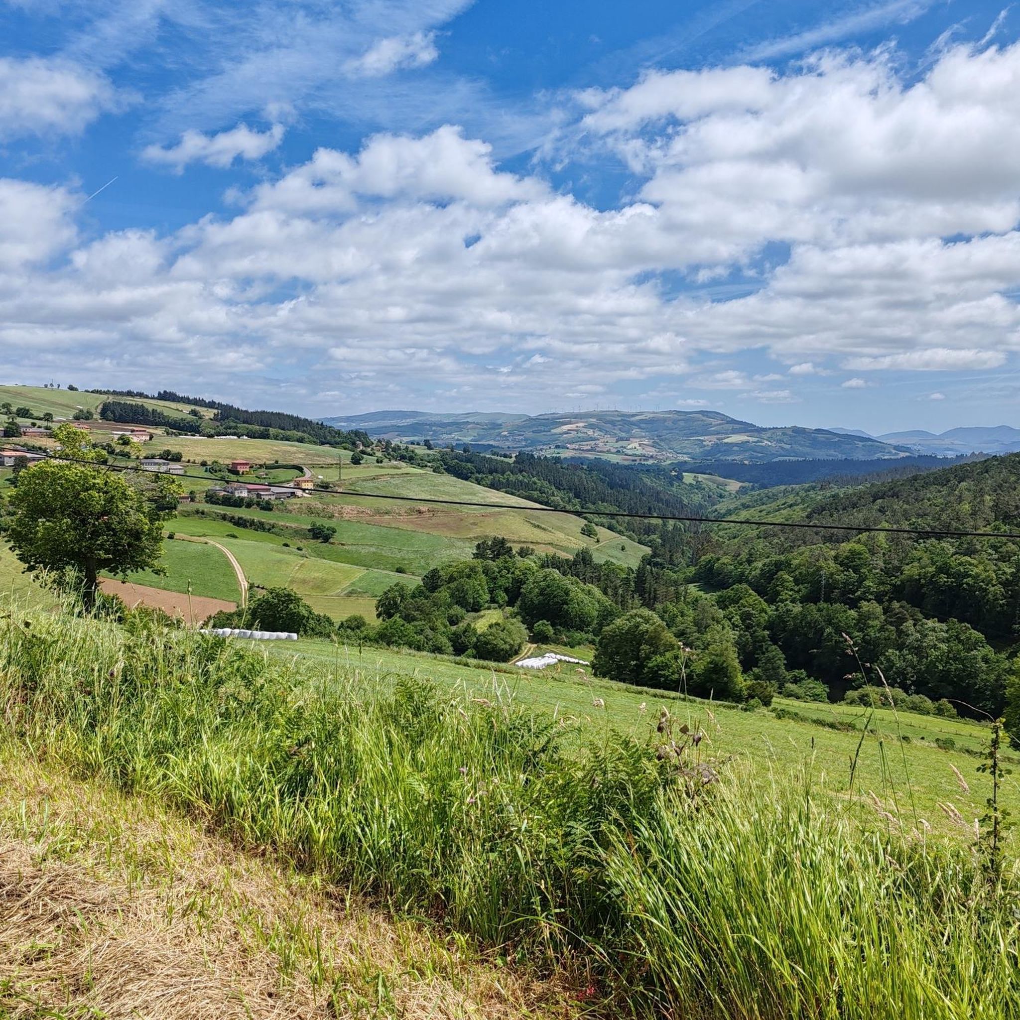


Tips from the Community

The climb to Alto de Chavadoira on the southern slope, from Pola de Allande, is one of those ascents that best defines the character of western Asturias: narrow roads, mountainous surroundings, a steady gradient, and the feeling of being in a place far from the noise. It's not a mountain pass with impressive numbers, but it is one of continuity. The road itself is in good condition, but its narrowness and the presence of blind curves require caution, especially on the descent. Traffic is almost nonexistent, which enhances the experience, but doesn't eliminate the need to remain alert at all times. In terms of weather, the pass reflects the reality of the Asturian mountains: humidity, fog, and temperature changes are frequent, so it's advisable to always wear appropriate clothing even if the day seems stable at the start. Here's the link to the altimetry published by @cyclingcols.com -- https://www.cyclingcols.com/col/Lavadoira
1
0

It is not too hard or long but it is very enjoyable.
0
0
Beautiful peak next to Pola de Allande
0
0

The Santa Ana peak is only 710 meters above sea level, but the ascent along the road offers spectacular views.
0
0

It is a small Romanesque church located in a mountainous area known as Fuentes del Narcea. According to legend, the church was built in the 9th century by a group of monks who discovered a statue of the Virgin Mary in a holly tree. The statue became known as the "Virgin of the Holly" or the "Virgin of the Holly," and the church was built in her honor. The interior of the church is decorated with frescoes from the 12th and 13th centuries, depicting scenes from the Bible and the life of Christ. The altar has a beautiful reredos carved in wood and painted with gold leaf, with images of the Virgin Mary, Saints Peter and Paul, and other saints. A popular destination for pilgrims and tourists who come to admire the beautiful architecture and rich history of the church. It is also a starting point for several hiking trails that lead to the nearby mountain peaks.
0
0
One of the great Asturian mountain passes, without a doubt. Generally unknown to the general public, it's rarely used in professional races. It has two clearly distinct slopes. The southern slope, which begins in Pola de Allande, is gentle and steady, along a road in good condition. It shares much of its climb with Puerto del Palo, which it turns off from just 3 km from the summit of Puerto de la Marta. The northern slope, which comes from Villayon, is uneven, with very tough sections and several rest stops and descents. It reminds me a lot of the Croix-de-Fer from Sant Jean de Maurienne, not because of the landscape, but because of the type of pass.
0
0
It is one of the mountains that surround the town of Cangas del Narcea, to the north. It is so named because the village of Santa Ana is located on that same peak. It has an altitude of 710 meters, as indicated by the two signs at the summit, both on the southeast slope (which rises from Cangas del Narcea) and the western slope, which starts from the town of Noceda. Its two slopes are different, with the Cangas del Narcea slope being much tougher, with a demanding final 3 kilometers and a final ramp with a pair of hairpin bends at 11%. The views from the top are limited, but until you reach the top on both sides, the panoramic views are beautiful. Perhaps more spectacular from the western slope.
0
0
Highly recommended, it can be done together with the Palo departing from Pola, the Marta is shorter but with a steeper slope
0
0
Frequently Asked Questions
What are some popular mountain passes and viewpoints in Tineo?
Tineo offers several notable mountain passes and viewpoints. Alto de La Marta is a significant mountain pass at 1105 meters, known for its expansive views stretching from the Cantabrian Mountains to the Cantabrian Sea. Another key point is the Highest Point of the Camino Primitivo, a summit at 1210 meters that offers broad panoramic vistas. Additionally, Alto de Lavadoira provides excellent views, especially for cyclists, with its mountainous surroundings.
Are there challenging mountain routes for experienced hikers in Tineo?
Yes, Tineo's mountainous terrain, particularly along the Camino Primitivo, offers challenging routes. The "Ruta de Los Hospitales" variant of the Camino Primitivo is known for its significant ascents and demanding terrain, requiring good physical condition. Highlights like Alto de La Marta and Alto de Santa Ana feature demanding climbs and offer a rewarding sense of accomplishment for experienced hikers.
What historical or cultural sites can I find among the mountain peaks?
The Sanctuary of Our Lady of Acebo is a prominent historical and cultural site located at an altitude of 1,169 meters. It is an important pilgrimage center and the second most significant sanctuary in Asturias, featuring a small Romanesque church with 12th and 13th-century frescoes. The Camino Primitivo itself is steeped in history, passing through traditional villages and offering a glimpse into local heritage.
What kind of natural features can I expect to see while hiking in Tineo's mountains?
The Tineo region is characterized by diverse natural beauty. You can expect to see extensive mountainous terrain, fertile valleys, ancient forests of beech and oak, and scenic river paths along waterways like the Nonaya River and Esva River. The Esva River Gorges are particularly noted for their ecological value, rugged landscapes, and impressive waterfalls. The elevated areas consistently offer breathtaking panoramic views of these varied landscapes.
Are there family-friendly mountain walks around Tineo?
While many routes in Tineo are challenging, there are options for less strenuous walks. The region's extensive network of trails includes paths suitable for families, especially those that explore the lower elevations or offer shorter, circular routes with less significant elevation gain. Look for trails that are specifically marked as easy or moderate, often found closer to villages or along less steep sections of the Camino Primitivo.
Can I bring my dog on the mountain trails in Tineo?
Many outdoor trails in Tineo are dog-friendly, allowing you to explore the mountainous landscape with your canine companion. However, it's always advisable to check specific trail regulations or local signage, especially in protected natural areas or near livestock. Always keep your dog on a leash and ensure you clean up after them to preserve the natural environment for everyone.
When is the best time to visit the Tineo mountains for hiking?
The best time to visit the Tineo mountains for hiking is generally during the spring (April to June) and autumn (September to October) months. During these periods, the weather is typically mild, and the landscapes are vibrant with spring blooms or autumn colors. Summer can also be pleasant, but be prepared for warmer temperatures, especially at lower elevations. Winter hiking is possible but requires appropriate gear due to potential snow and colder conditions, particularly at higher altitudes.
What other outdoor activities can I do near the mountain peaks in Tineo?
Beyond hiking, Tineo offers a variety of outdoor activities. The region is popular for cycling, with numerous routes for both road cycling and touring bicycles. You can explore guides like Road Cycling Routes around Tineo and Cycling around Tineo. Mountain biking is also a great option, with trails like those found in MTB Trails around Tineo. These guides feature routes that often incorporate the region's mountain passes and scenic viewpoints.
Are there any cafes or places to eat near the mountain trails in Tineo?
While many mountain trails offer a sense of wild tranquility, you can find amenities in the villages and towns scattered throughout the Tineo region. The Sanctuary of Our Lady of Acebo, for instance, includes a restaurant. For more options, the town of Tineo itself and other larger villages along popular routes like the Camino Primitivo provide cafes, restaurants, and accommodation for hikers and cyclists.
What are the highest points accessible to hikers in the Tineo area?
The highest point within the municipality of Tineo reaches approximately 1,532 meters. For hikers, the Highest Point of the Camino Primitivo is a significant accessible summit at 1210 meters. The Sanctuary of Our Lady of Acebo is also located at a high altitude of 1,169 meters, offering both a cultural visit and elevated views.
What should I wear when hiking in the Tineo mountains?
Given the varied terrain and potential for changing weather in the Asturian mountains, it's advisable to dress in layers. Even if the day starts clear, humidity, fog, and temperature changes are frequent. Essential gear includes sturdy hiking boots, waterproof and windproof outer layers, and moisture-wicking base layers. Always carry extra clothing, water, snacks, and navigation tools, especially on longer or more challenging routes.
Are there any circular walks available in the Tineo mountains?
Yes, there are several circular walks that allow you to experience the Tineo mountains. For example, the moderate 6.6-mile (10.6 km) circular route encompassing a section of the historic Camino Primitivo, including the Letizia Viewpoint, is a popular choice. Many of the cycling guides, such as Cycling around Tineo, also feature circular routes that can be adapted for hiking, offering diverse loops through the mountainous landscape.
Most popular attractions around Tineo

Get inspired with the komoot mobile app


Explore more
See even more amazing summits around Tineo with these guides:
