The 4 Most Amazing Peaks around Aielo De Malferit
Mountain peaks around Aielo De Malferit offer diverse hiking opportunities within a region characterized by varied elevations. The municipality itself is situated at 281 meters above sea level, with surrounding terrain reaching up to 724 meters and some points exceeding 800 meters. Notable areas include the Serra Grossa to the north and La Solana to the west, both contributing to the natural landscape. These areas provide a mix of natural beauty and historical interest for explorers.
Best mountain peaks around…
Last updated: July 4, 2026
Portixol
Highlight • Mountain Pass
Enjoy the views while you catch your breath and, if you have come here on a …
Translated by Google •
Tip by

Cruz de la Ollería
Highlight • Monument
This place offers a view of the Vall d'Albaida region and the Costera
Translated by Google •
Tip by

Sign up now to discover places like this
Get recommendations on the best single tracks, peaks, & plenty of other exciting outdoor places.
Sign up for free
Port de Bosquet
Highlight • Mountain Pass
Translated by Google •
Tip by
Alt de la Creu
Highlight • Summit
Tip by

El Peñón (Cross Summit)
Highlight • Summit
Tip by
Start today with a free account
Your next adventure awaits.
Login or Signup
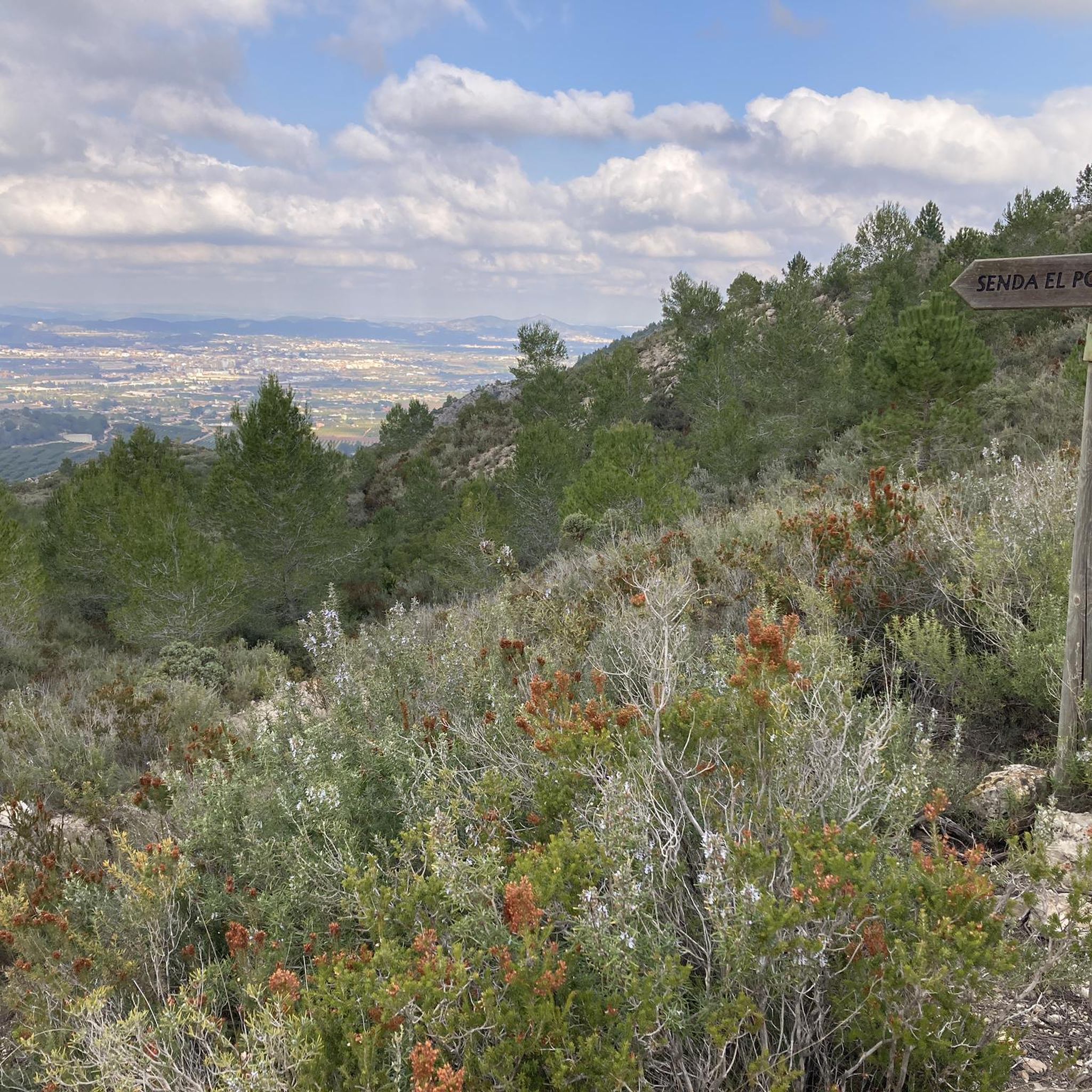
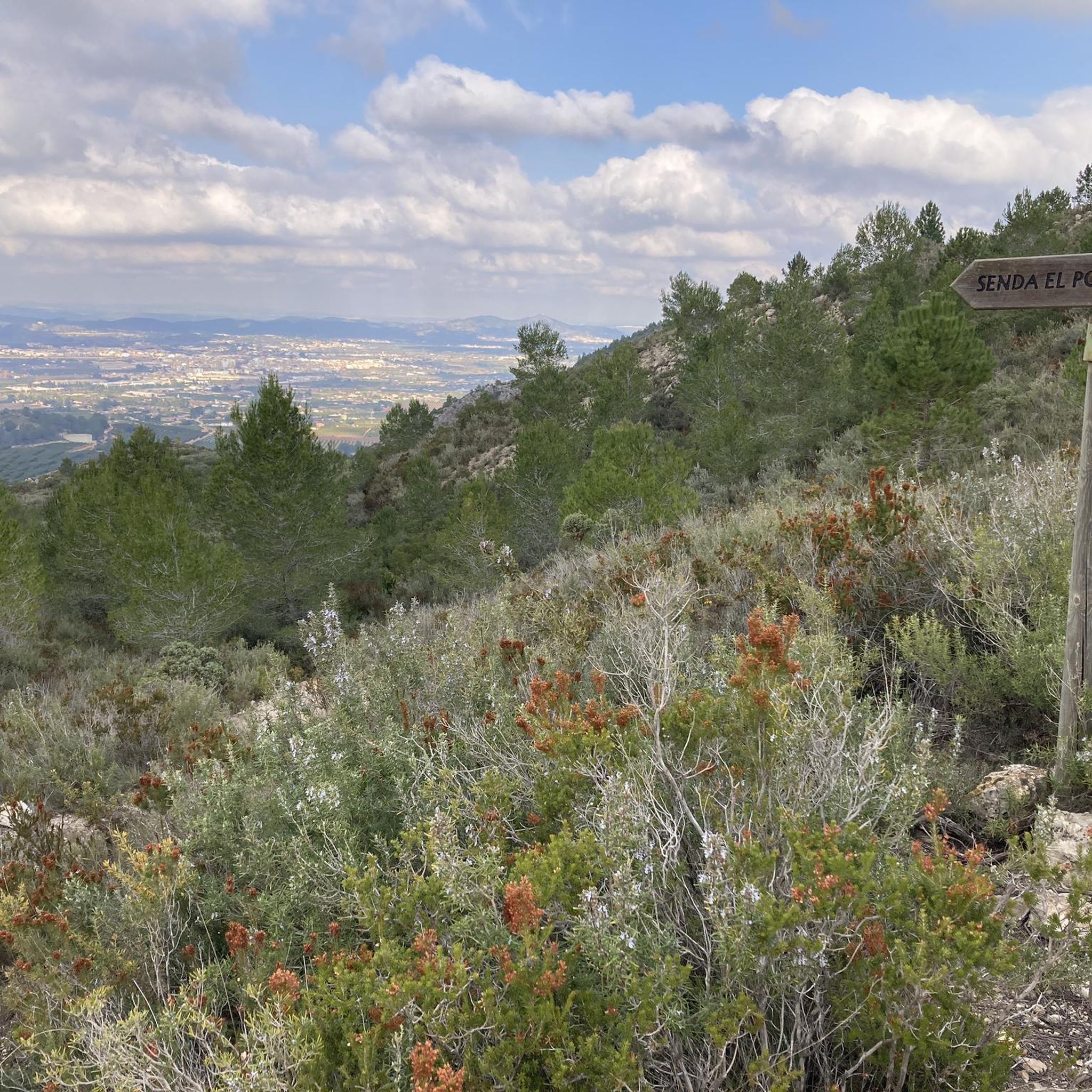
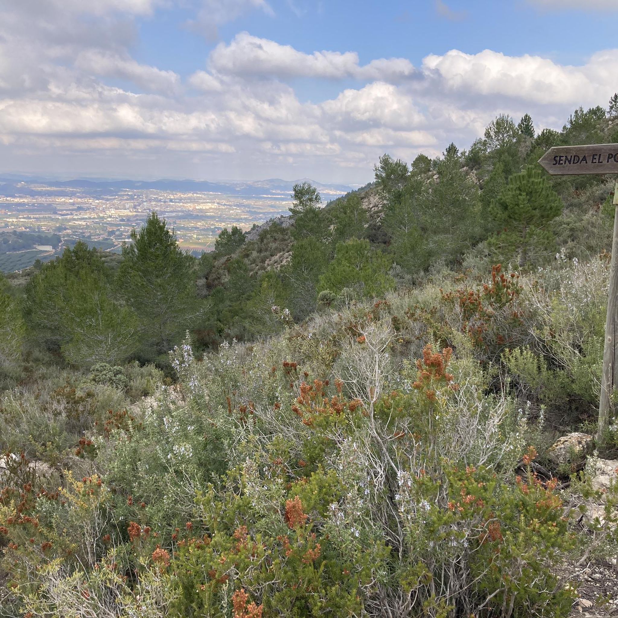
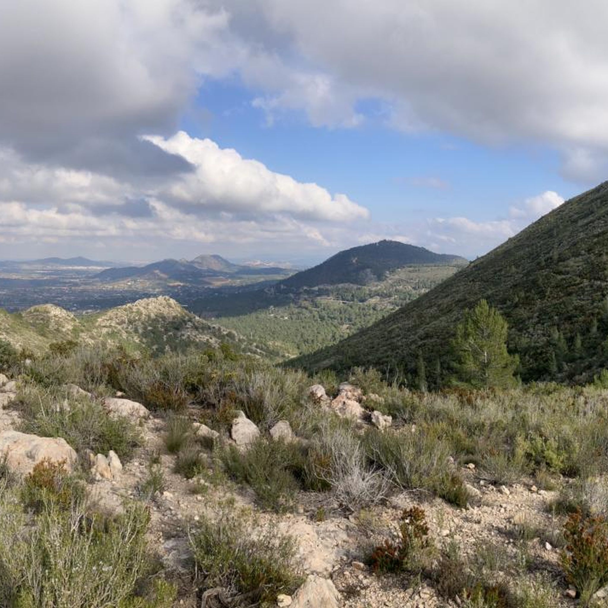

Tips from the Community

very nice, good road and little traffic
0
0

There is a pass through there on the way back to Ontinyente, some beautiful landscapes.
0
0

Going up the S.Esteve hermitage to the Alt de la Creu has unbeatable views.
0
0

Alt de la Creu and its fire watch tower give extensive views of the surrounding area: Benicadell, Montcabrer, etc
1
0

Geodetic point at 900m, bordering the municipalities of Vallada, Moixent, Ontinyent and Aielo de Malferit, represents the highest point in Vallada, where endemic plant associations of the region appear. The views are undoubtedly spectacular. The climb is done on scratched concrete and is very demanding, but it is worth going up to contemplate the landscape.
0
0

The port of Bosquet, 645 meters above sea level, is a "must pass" before the climb to Portixol on most of the road routes that take place through this beautiful area.
0
0
Quite the scramble to get up here. Today, the wind was too strong to safely go around the last rock to the cross, so we decided to not do the last 5 metres. We shall return another day.
1
0
Frequently Asked Questions
What are some popular mountain passes for cycling or driving near Aielo De Malferit?
For cyclists and drivers, two popular mountain passes stand out. Portixol is known for its good pavement and minimal traffic, offering beautiful views as you catch your breath. Another key point is Port de Bosquet, located at 645 meters above sea level, which is often part of road routes in the area and also features a good road with little traffic.
Which peaks offer the best panoramic views of the region?
For truly spectacular panoramic views, consider the geodetic point near Vallada, which is also known as Alt de la Creu. At approximately 900 meters, it's the highest point in Vallada and offers extensive vistas of the surrounding area, including Benicadell and Montcabrer. Another excellent viewpoint is Cruz de la Ollería, a man-made monument at 520 meters above sea level, providing views of the Vall d'Albaida region and the Costera.
Are there any easy or family-friendly hiking options around Aielo De Malferit?
Yes, for easier hikes, the ascent to Alt de la Serratella is considered of medium-low difficulty and is part of the PR-CV 435 Senda del Barranc de la Fos, a circular route starting from Aielo de Malferit. This trail is accessible for many hikers and offers rewarding panoramic views. Additionally, the Sierra de l'Ombria features the SL-CV 11 Senda de l'Ombria, a low-difficulty route perfect for exploring the natural beauty of the area.
What challenging climbs are available for experienced hikers?
Experienced hikers seeking a challenge will find the ascent to the geodetic point near Vallada, also known as Alt de la Creu, very demanding but highly rewarding. The climb involves a significant slope, but the exceptional panoramic views from the summit make the effort worthwhile. Another challenging option is El Peñón (Cross Summit), which involves a scramble to reach the top.
Can I find natural swimming spots near the mountains?
Absolutely. The Sierra de l'Ombria, where the Clariano River originates, is home to picturesque natural pools known as Pou Clar. These crystal-clear pools, such as Pou dels Esclaus, Pou Gelat, and Pou dels Cavalls, are ideal for swimming and enjoying nature, especially during the warmer months. They are surrounded by hiking trails, making it a perfect blend of activity and relaxation.
What outdoor activities can I do near these mountain peaks?
Beyond hiking, the region around Aielo De Malferit offers diverse outdoor activities. You can explore various routes for gravel biking, road cycling, and mountain biking. These guides provide numerous routes ranging from moderate to difficult, allowing you to experience the varied terrain and scenic beauty of the area.
Are there any historical or archaeological sites in the mountain areas?
Yes, the Serra Grossa, located north of Aielo de Malferit, features the Cova Negra municipal natural area. This is an important archaeological site where remains of Homo Neanderthal have been discovered, offering a fascinating glimpse into the region's ancient history. Additionally, along the PR-CV 435 Senda del Barranc de la Fos, you can see the Pont de l'Arcà, an 18th-century aqueduct that provides beautiful scenic views and historical interest.
What unique natural features can I explore besides the peaks?
Beyond the mountain peaks, you can explore the Pont de l'Arcà, an 18th-century aqueduct offering scenic views of the Clariano River. The Sierra de l'Ombria is notable as the source of the Clariano River, featuring the beautiful natural pools of Pou Clar. To the north, the Serra Grossa includes the 'Estret de les Aigües' along the Albaida River, providing another unique natural landscape.
What do visitors enjoy most about the mountain peaks around Aielo De Malferit?
Visitors particularly enjoy the rewarding views after a climb, the well-maintained roads with little traffic for cycling, and the sense of accomplishment from reaching a summit. Many appreciate the diverse landscapes, from historical aqueducts to natural swimming pools, and the opportunity to connect with nature. The extensive views from points like Alt de la Creu are frequently highlighted as spectacular.
When is the best time to visit the mountain peaks in this region?
The warmer months are ideal for enjoying activities like swimming in the natural pools of Pou Clar. However, the region's trails and passes can be enjoyed throughout much of the year. Spring and autumn offer pleasant temperatures for hiking and cycling, while summer is perfect for combining mountain exploration with refreshing dips in the river. Always check local weather conditions before heading out.
Most popular routes around Aielo De Malferit
Most popular attractions around Aielo De Malferit

Get inspired with the komoot mobile app


Explore more
See even more amazing summits around Aielo De Malferit with these guides:
