The 5 Most Amazing Peaks around Cebreros
Best mountain peaks around Cebreros are accessible from this municipality, strategically situated in the province of Ávila at 755 meters above sea level. Cebreros serves as a gateway to the mountainous landscapes of the Sierra de Gredos and the Sierra de Guadarrama. These ranges offer numerous notable peaks, features, and recreational opportunities. The area provides diverse ecosystems, panoramic views, and historical sites.
Best mountain peaks around Cebreros
- The most popular mountain peaks is La Almenara, a summit that offers…
Last updated: July 4, 2026
La Almenara
Highlight • Summit
Translated by Google •
Tip by

Las Mucas Hill
Highlight • Summit
Translated by Google •
Tip by
Sign up now to discover places like this
Get recommendations on the best single tracks, peaks, & plenty of other exciting outdoor places.
Sign up for free
Alto del Mirlo (Pico Casillas)
Highlight • Summit
Translated by Google •
Tip by

Cabeza de la Parra
Highlight • Summit
Translated by Google •
Tip by

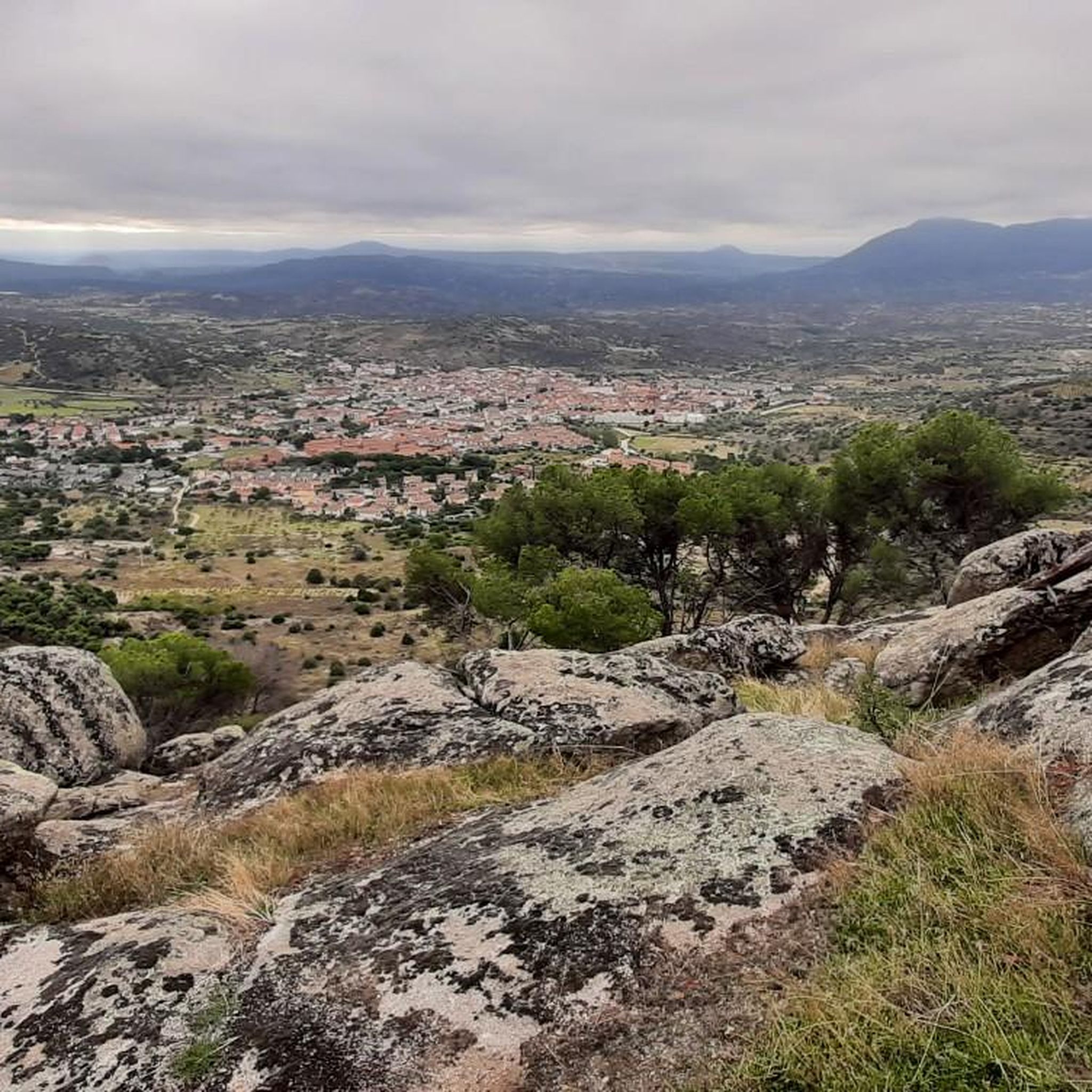
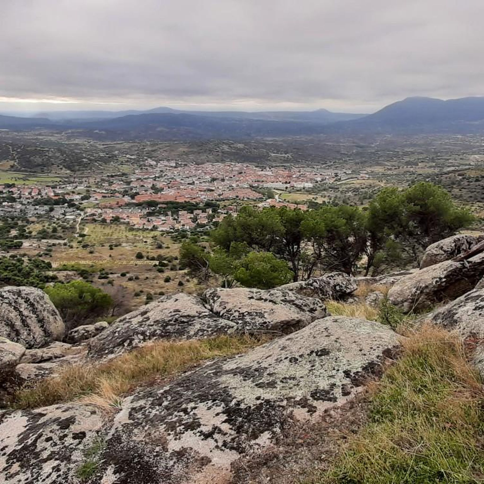
Views of Cebreros and Cerro Guisando
Highlight • Viewpoint
Translated by Google •
Tip by
Start today with a free account
Your next adventure awaits.
Login or Signup

Other adventures around Cebreros

Tips from the Community

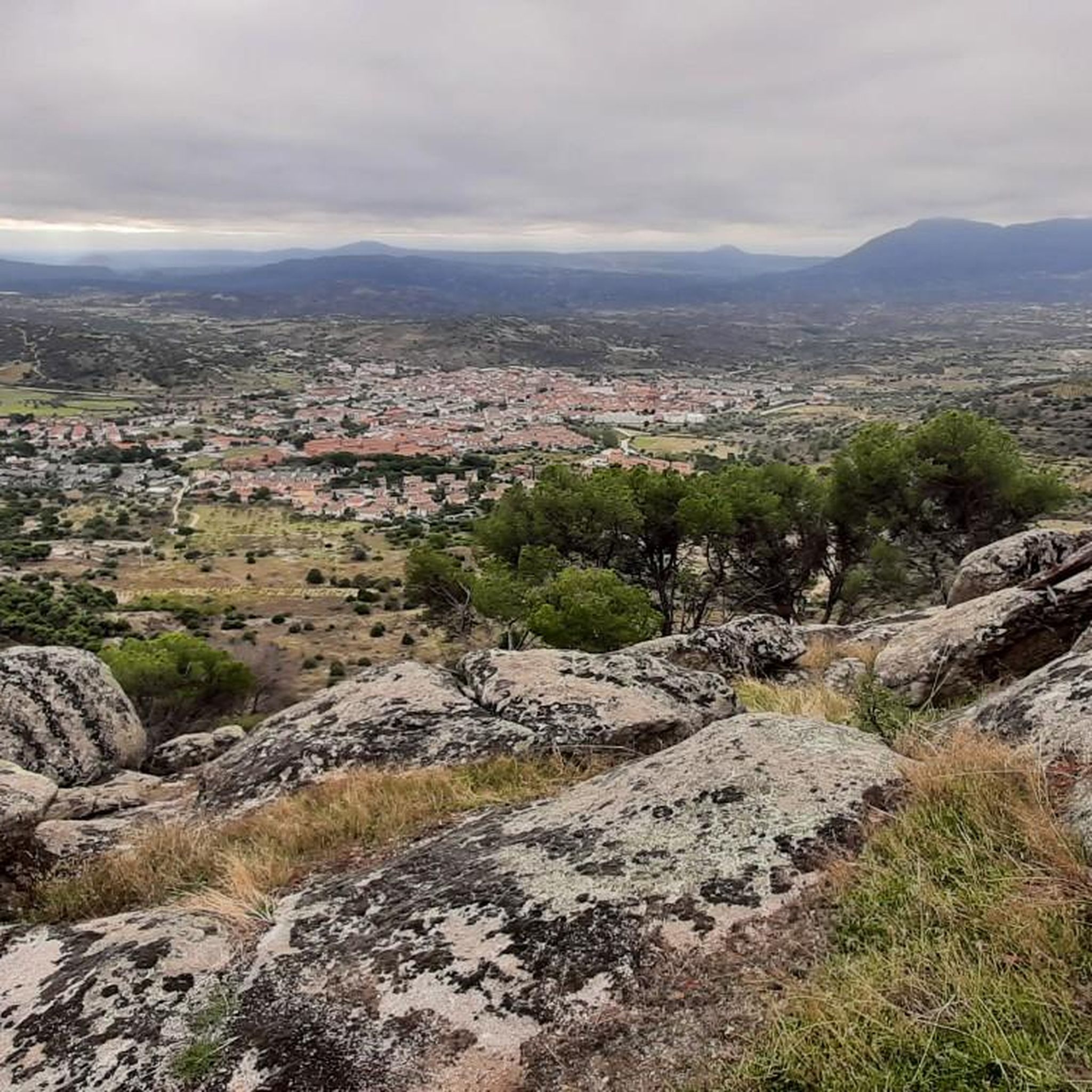
From this point there are very nice and wide views of the town of Cebreros and in the background, Cerro Guisando, one of the last mountains of the Sierra de Gredos on the east side.
1
0
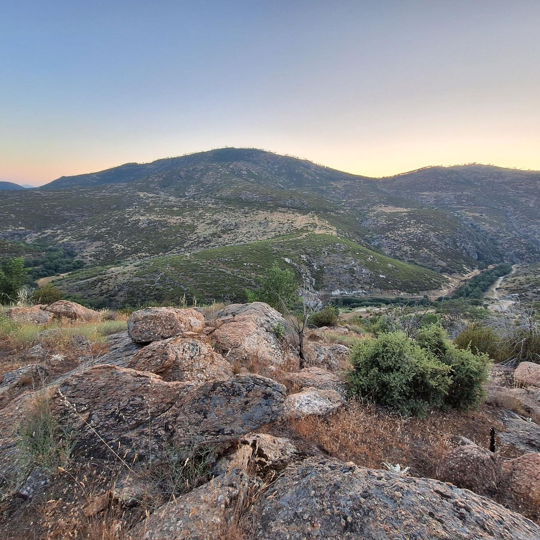
From the top of this mountain you can see impressive views of the whole area and a stop there is mandatory. The last highest mountain of the eastern end of the Sierra de Gredos.
1
0

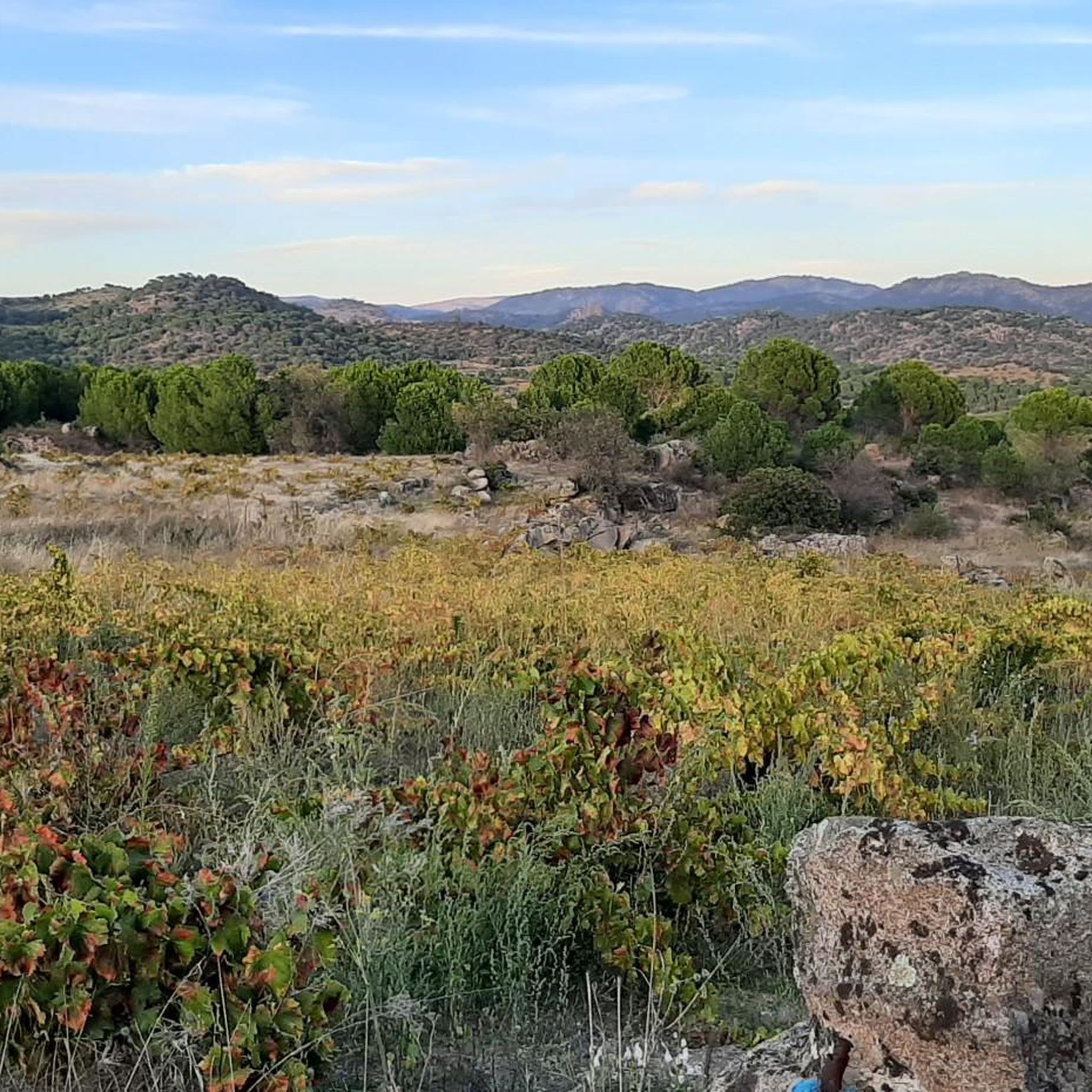
Beautiful views from the top of Cerro de las Mucas and the surrounding environment even more picturesque. You can get here by several paths and tracks through the beautiful Alberche holm oak.
1
0

The tracks of the track pass through the Majada del Espino pass, cross the next tooth of the mountain range in the hills of Llano de Cuatro Manos and cross the meadows of Portacho del Robledo, finally climbing to the top of Cabeza de la Parra, the roof of the trail, an enormous hill of soft periglacial reliefs formed in the Primary era. At these altitudes the forest masses disappear, there are only solitary specimens of Scots or Scots pine tormented by environmental events. The trunks and branches show twisted and tortuous shapes due to the action of the snow and the wind. It would be difficult to imagine a mountain setting in the Guadarrama or Gredos mountains without these beautiful trees adorning landscapes and geographies with their suggestive plant forms. At the top there are antennas, the geodesic vertex and a small sanctuary dedicated to San Antonio de Padua with views of the Burguillo reservoir, the San Juan reservoir and the villages of Alto Alberche. The descent continues to the north through a “thigh-breaking” firebreak with a lot of loose stone. Pay attention to the exit deviation, it is the second track that comes out on the right.
0
0
The top of La Almenara at 1259 meters above sea level is a unique panoramic point in the region of the Guadarrama River. From here you will have beautiful views of the entire Rio Coño valley and to the other side the Robledo de Chavela Space Observatory.
2
0
Frequently Asked Questions
Which mountain peaks offer the best panoramic views around Cebreros?
For breathtaking panoramic views, consider visiting La Almenara, which provides unique vistas of the Rio Coño valley and the Robledo de Chavela Space Observatory. Another excellent choice is Alto del Mirlo (Pico Casillas), offering impressive views across the entire eastern end of the Sierra de Gredos. Additionally, Las Mucas Hill provides beautiful views amidst picturesque holm oak forests.
Are there any challenging mountain peaks for experienced hikers near Cebreros?
Yes, for experienced hikers seeking a challenge, the ascent to Cerro de la Escusa, the highest point in the Iruelas Valley Nature Reserve, is demanding due to significant elevation changes. Routes to Cabeza la Parra can also involve substantial elevation gain, offering rewarding views of the Alberche Valley and surrounding mountains. These peaks are part of the rugged Sierra de Gredos range.
What kind of natural features can I expect to see when hiking the peaks around Cebreros?
The region around Cebreros is characterized by rugged granite formations and diverse landscapes. You'll encounter extensive views from summits like Cabeza de la Parra, which features periglacial reliefs and solitary Scots pine trees shaped by the elements. The Iruelas Valley, near Cerro de la Escusa, boasts pine forests and unique karst relief. The broader Sierra de Gredos offers glacial cirques and high-altitude grasslands.
What outdoor activities can I do near the mountain peaks of Cebreros?
Beyond hiking, the area around Cebreros is excellent for various outdoor activities. You can explore numerous road cycling routes, including challenging loops around the Embalse de San Juan or Puerto de Arrebatacapas. There are also several running trails, such as the Historic center of Cebreros loop, and dedicated hiking trails like the Camino de Rasueros.
Are there family-friendly mountain walks or easy hikes suitable for beginners around Cebreros?
While many peaks offer intermediate challenges, there are options for easier walks. The picturesque environment around Las Mucas Hill, with its paths and tracks through the Alberche holm oak, can be suitable for families. For specific easy routes, it's best to check local trail guides for shorter, less strenuous paths that focus on scenic views without significant elevation gain.
What is the best time of year to hike the mountain peaks near Cebreros?
The best time to hike the mountain peaks around Cebreros is generally during spring and autumn when temperatures are milder and the landscapes are vibrant. Summer can be very hot, especially at lower elevations, while winter can bring snow and colder conditions to higher peaks, requiring appropriate gear and experience for winter hiking.
Are there any specific viewpoints that offer great photo opportunities?
Absolutely. The summit of La Almenara is a prime spot for photography, offering expansive views of the Rio Coño valley. Another excellent location is Views of Cebreros and Cerro Guisando, providing wide perspectives of the town and the surrounding mountains. From Alto del Mirlo, you can capture the Iruelas Valley and the El Burguillo reservoir.
Can I bring my dog on the mountain trails around Cebreros?
Many outdoor trails in the region are dog-friendly, but it's always advisable to check specific trail regulations before heading out. Generally, dogs are welcome on leash, especially in less protected areas. Ensure your dog is well-behaved and that you carry waste bags to maintain the natural environment.
What are some lesser-known or 'hidden gem' mountain hikes in the Cebreros area?
While specific 'hidden gems' are often discovered by local exploration, Pico Merina (La Merina de Cebreros) is a significant local summit that offers impressive views and features in local trail running and hiking routes, often providing a more secluded experience compared to more popular spots. Its challenging climb is highly rewarding.
Are there any historical or cultural sites near the mountain peaks?
While the peaks themselves are primarily natural attractions, the region has historical significance. For instance, from Cabeza de la Parra, you can see a small sanctuary dedicated to San Antonio de Padua. The town of Cebreros itself has historical connections, and the broader Sierra de Gredos region is rich in cultural heritage, often intertwined with its natural landscapes.
How long do hikes to the mountain peaks around Cebreros typically take?
The duration of hikes varies greatly depending on the peak and your chosen route. For example, a difficult hike to Cabeza la Parra from El Tiemblo can be around 11.8 km. Moderate routes like the Camino de Rasueros from Cebreros are about 15 km. Shorter, easier walks might take a couple of hours, while more challenging ascents to peaks like Cerro de la Escusa could be full-day excursions. Always check specific route details for estimated times.
Most popular routes around Cebreros
Most popular attractions around Cebreros

Get inspired with the komoot mobile app


Explore more
See even more amazing summits around Cebreros with these guides:
