Top 5 Gorges around Pozuelo Del Rey
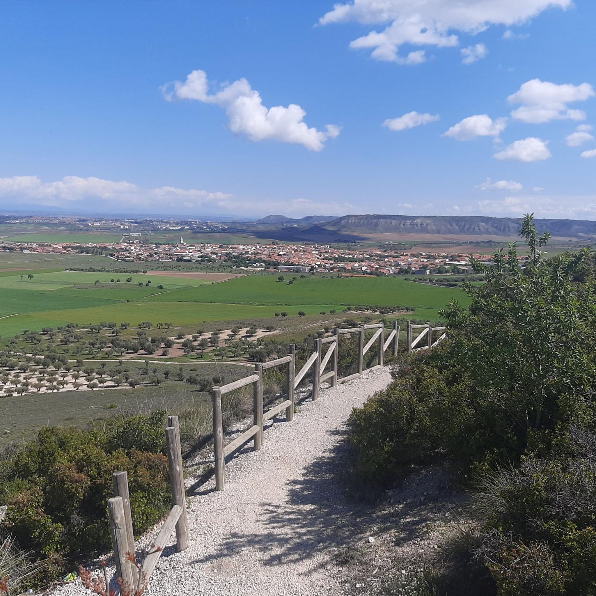
Best canyons around Pozuelo Del Rey are characterized by their geological formations and river valleys. This area, located in the Community of Madrid, features several gorges shaped by erosion over millions of years. These natural attractions near Pozuelo Del Rey offer insights into the region's geological history, with landscapes revealing limestone, marl, and gypsum formations. The terrain includes wild hills, Mediterranean forests, and steep slopes.
Best canyons around Pozuelo Del Rey
- The most popular canyons is Valhondo Valley, a…
Last updated: July 4, 2026
Valhondo Valley
Highlight • Gorge
Translated by Google •
Tip by

Geology of the Tajuña Valley Landscape
Highlight • Natural Monument
Translated by Google •
Tip by
Sign up now to discover places like this
Get recommendations on the best single tracks, peaks, & plenty of other exciting outdoor places.
Sign up for free
Valley of the Anchuelo Stream
Highlight • Gorge
Translated by Google •
Tip by
Arroyo de la Dehesilla
Highlight • River
Translated by Google •
Tip by
Geological Landscape of the Valdemembrillo Stream
Highlight • Natural Monument
Translated by Google •
Tip by
Start today with a free account
Your next adventure awaits.
Login or Signup

Tips from the Community

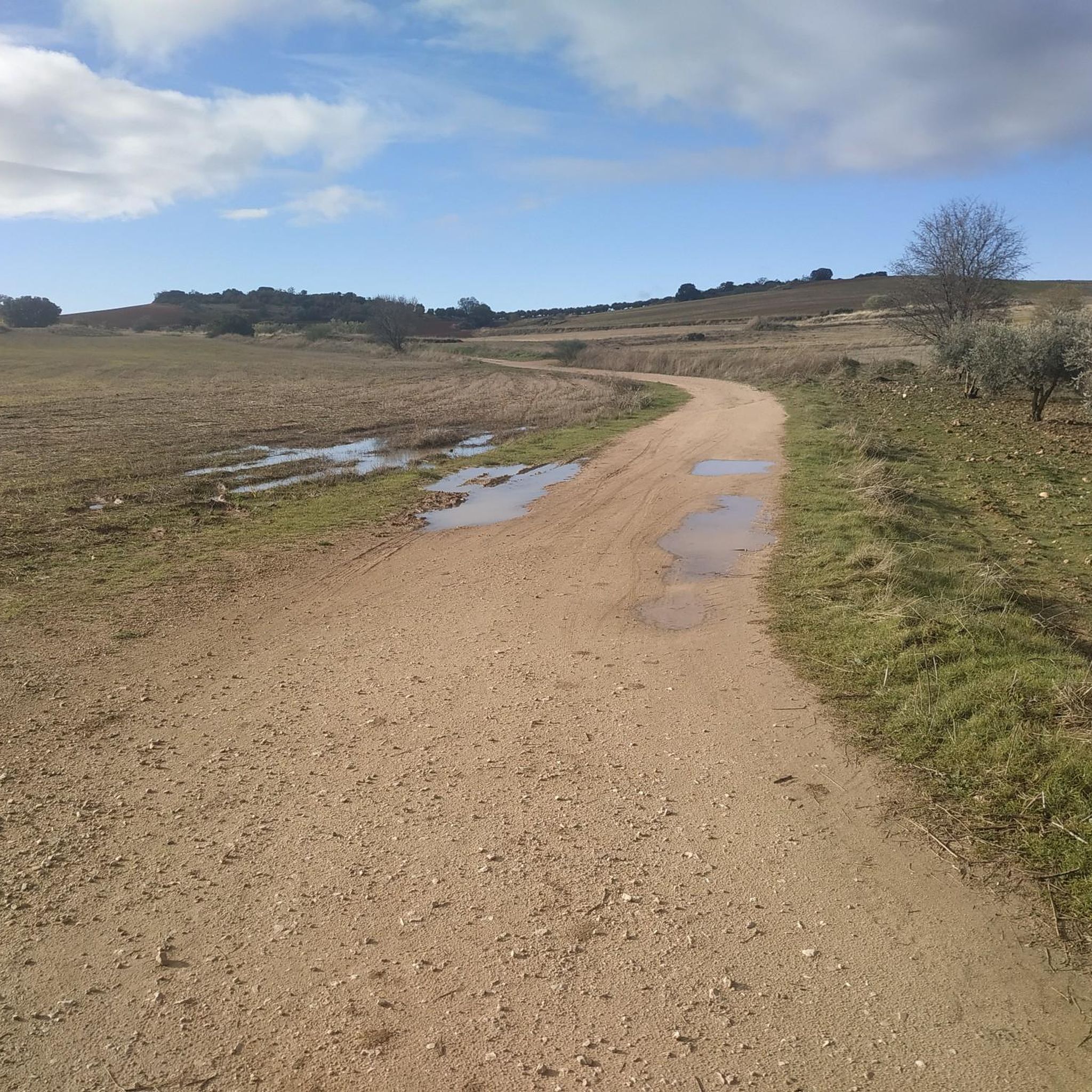
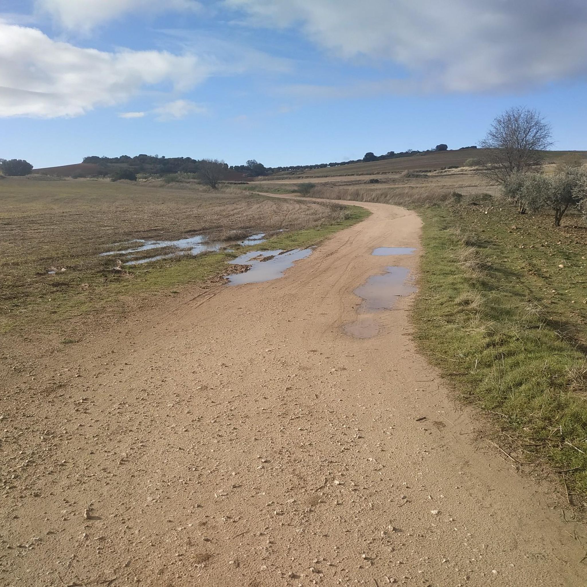
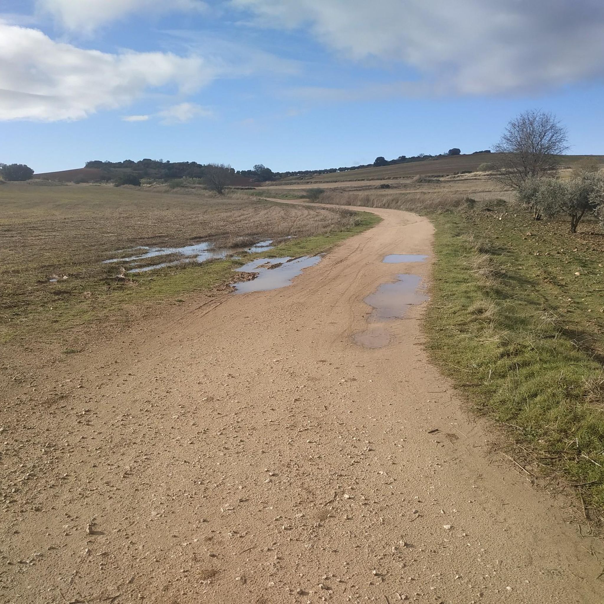
The ravine of the Valhondo stream was the usual communication channel between Pezuela de las Torres and the towns of Nuevo Baztán and Olmeda de las Fuentes, a fertile plain rich in crops and forest resources. The route reaches the area of Fuente de los Guindos, a pleasant valley of old orchards between wild hills of oaks and gall oaks, below the forest is an authentic Mediterranean forest and the stream bed moved the machinery of old flour mills and fulling mills.
0
0
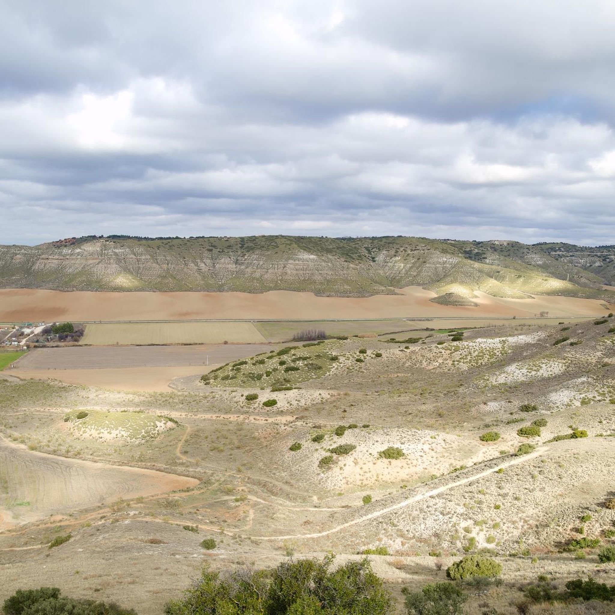
The relief of the Tajuña valley is the result of a succession of horizontal sedimentation processes during cold and dry periods and a strong erosion by water and the elements, leaving the slopes with very steep slopes and devoid of vegetation, revealing the mixtures of limestone, marl, gypsum and the rest of the tertiary materials common in the relief unit of the Tajo basin.
1
0
The little valley of the Dehesilla stream transmits distance and solitude, it is a valuable portion of wild mountain hidden and concealed between the slopes of the moor and the cliffs that form the natural cirque of the ravine, the most striking being the Risco de la Dehesilla, in the steepest area of the limestone walls.
0
0
The valley of the Anchuelo stream is a natural communication channel between the Henares river valley and La Alcarria in Madrid, a fertile and resource-rich plain that has been guarded for centuries by small fortresses, since Islamic times, when the fortified town of Alcalá la Vieja was a strategic step on the route between Toledo and Zaragoza, on the middle border of al-Andalus.
0
0
The small gravel and sandstone slopes in the upper section of the Valdemembrillo stream are very eroded and reveal the geological soil of the territory that originated 25 million years ago, when the current reliefs were created by a particular system of alluvial fans.
0
0
Frequently Asked Questions
What kind of natural features can I expect to see in the canyons around Pozuelo Del Rey?
The canyons around Pozuelo Del Rey are primarily characterized by their geological formations and river valleys. You'll encounter landscapes shaped by erosion over millions of years, revealing layers of limestone, marl, and gypsum. Expect to see wild hills, Mediterranean forests, and steep slopes, particularly in areas like the Geology of the Tajuña Valley Landscape.
Are there any historical or cultural points of interest near the canyons?
Yes, some canyons served as important communication channels throughout history. For instance, the Valley of the Anchuelo Stream was a natural route between the Henares river valley and La Alcarria in Madrid, guarded by small fortresses since Islamic times. Similarly, the Valhondo Valley was a key communication channel between towns like Pezuela de las Torres, Nuevo Baztán, and Olmeda de las Fuentes, with remnants of old flour mills and fulling mills along its stream bed.
What are some popular canyons for hiking or exploring around Pozuelo Del Rey?
Visitors often enjoy the Valhondo Valley, known for its route through old orchards and wild hills of oaks and gall oaks. Another popular spot is the Geology of the Tajuña Valley Landscape, which offers dramatic views of exposed geological layers. The Valley of the Anchuelo Stream is also appreciated for its natural beauty and historical significance.
What is the terrain like in the canyons around Pozuelo Del Rey?
The terrain in these canyons is generally characterized by river valleys and geological formations. You'll find slopes with steep inclines, especially in areas where erosion has exposed geological layers. The landscape includes wild hills, Mediterranean forests, and sometimes rocky cliffs, such as those found in the natural cirque of the Arroyo de la Dehesilla.
Are there any specific viewpoints or notable natural features to look out for?
Yes, the Geology of the Tajuña Valley Landscape is a natural monument offering excellent viewpoints to observe the exposed geological layers of limestone, marl, and gypsum. In the Arroyo de la Dehesilla, the Risco de la Dehesilla stands out as a striking feature within the limestone walls of the ravine.
What outdoor activities can I do near these canyons?
Beyond exploring the canyons themselves, the area around Pozuelo Del Rey offers various outdoor activities. You can find numerous MTB trails, cycling routes, and gravel biking opportunities. These routes often pass through scenic landscapes, including river valleys and hills, providing a great way to experience the region's natural beauty.
Are there any specific cycling routes near the canyons?
Yes, there are several cycling routes in the vicinity. For example, you can explore the 'Nuevo Baztán and Tajuña Greenway Loop' or the 'Campillo Lagoon – La Poveda Railway Bridge loop from Torres de la Alameda'. For more options, check out the Cycling around Pozuelo Del Rey guide.
What kind of geological history do these canyons reveal?
The canyons around Pozuelo Del Rey offer a glimpse into the region's geological past, dating back approximately 25 million years. They reveal ancient geological soil, with exposed layers of limestone, marl, and gypsum, which are common in the Tajo basin. Areas like the Geological Landscape of the Valdemembrillo Stream show how the current reliefs were created by a system of alluvial fans.
What do visitors enjoy most about the canyons around Pozuelo Del Rey?
Visitors appreciate the unique geological formations and the sense of natural beauty and history these river valleys offer. The opportunity to explore routes that served as ancient communication channels, surrounded by Mediterranean forests and wild hills, is a significant draw. The exposed geological layers provide a fascinating insight into the region's past.
Are there any specific MTB trails near the canyons?
Yes, there are various MTB trails available. You could try routes like the 'Church of Torres de la Alameda – La Oliva fountain loop' or the 'Negrín Railway Path – Poppy Field loop'. For a comprehensive list of options, refer to the MTB Trails around Pozuelo Del Rey guide.
What is the best time to visit the canyons around Pozuelo Del Rey?
While specific seasonal considerations for these canyons are not detailed, generally, spring and autumn offer the most pleasant weather for outdoor activities in the Community of Madrid, with milder temperatures ideal for hiking and exploring. Summers can be hot, and winters can be chilly, so plan accordingly based on your activity preferences.
Most popular routes around Pozuelo Del Rey
Most popular attractions around Pozuelo Del Rey

Get inspired with the komoot mobile app


Explore more
Already discovered everything in this region? See additional gorges around Pozuelo Del Rey for your next adventure:
