Top 14 Gorges around Sant Vicenç De Castellet
Best canyons around Sant Vicenç De Castellet offer diverse geological formations and eroded landscapes, making the area notable for hikers and nature enthusiasts. The region features gorges carved by rivers like the Llobregat, showcasing significant geological impact. Unique badland formations, such as the Muntanyes Russes, present extensively eroded surfaces with distinct furrows and ridges. These natural features provide varied experiences within the Central Catalonia UNESCO Global Geopark and the broader Montserrat area.
Best canyons around Sant Vicenç De Castellet
- The…
Last updated: July 4, 2026
Bigaire Gorge
Highlight • Gorge
Translated by Google •
Tip by

Pools of the Font dels Llaminers
Highlight • Gorge
Translated by Google •
Tip by

Sign up now to discover places like this
Get recommendations on the best single tracks, peaks, & plenty of other exciting outdoor places.
Sign up for free
Canal dels Micos
Highlight • Gorge
Translated by Google •
Tip by
Trail below cliffs
Highlight • Trail
Translated by Google •
Tip by

Canal de les Bruixes
Highlight • Gorge
Tip by

Sign up for free to discover even more gorges around Sant Vicenç De Castellet.
Sign up for free
Already have an account?
Start today with a free account
Your next adventure awaits.
Login or Signup
Popular around Sant Vicenç De Castellet
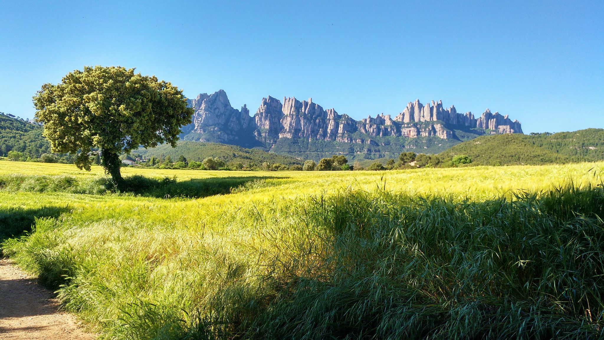
On foot from France to Montserrat – GR 4
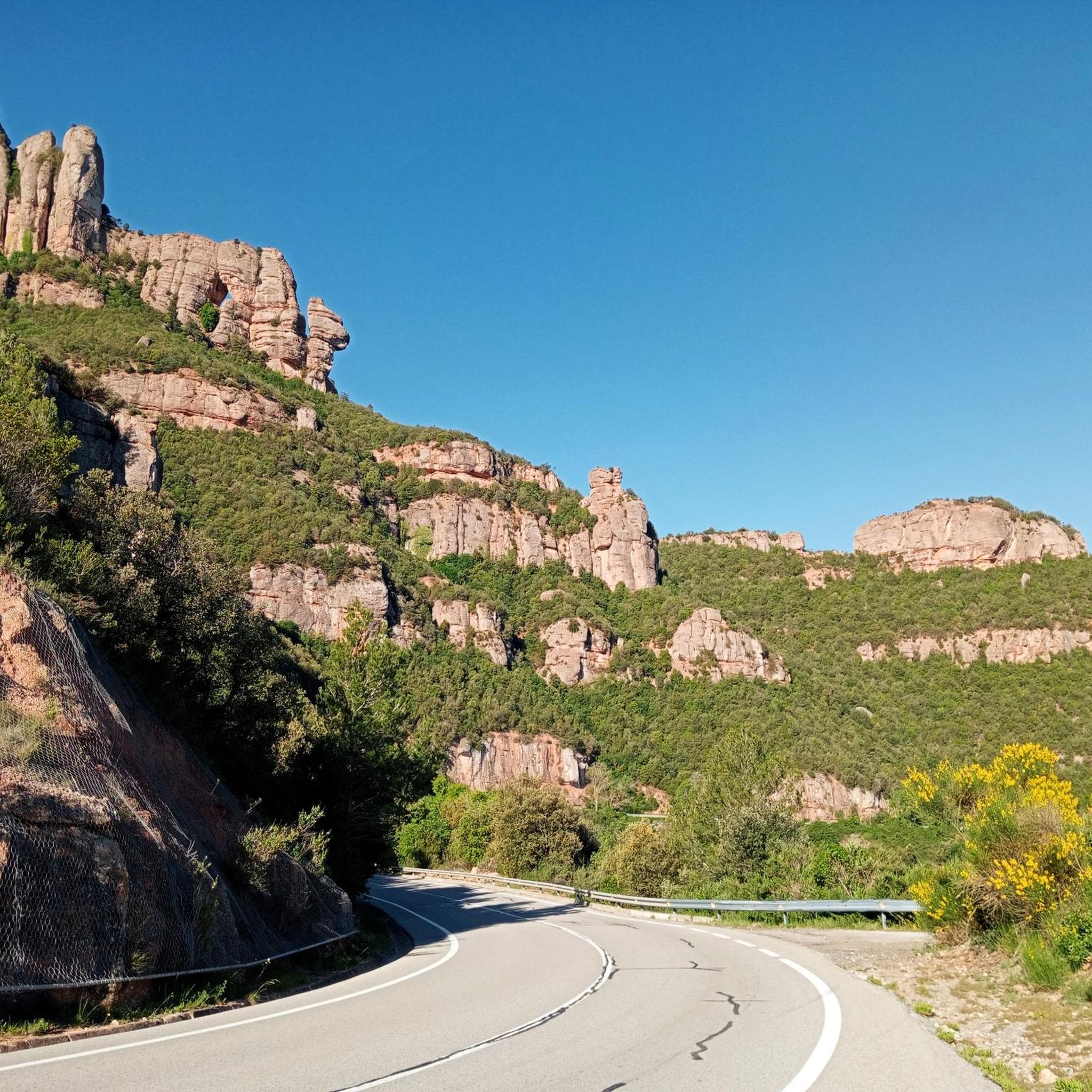
Road Cycling Routes around Sant Vicenç De Castellet

Cycling around Sant Vicenç De Castellet
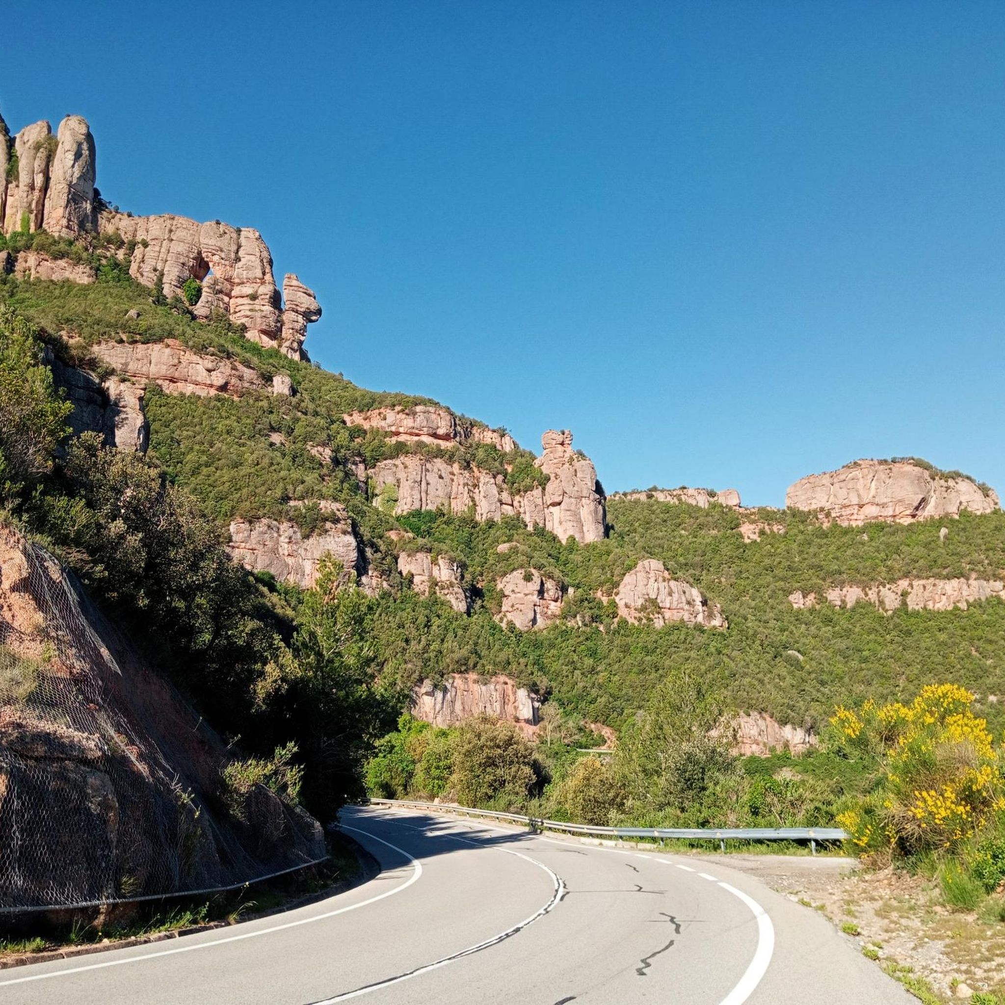
MTB Trails around Sant Vicenç De Castellet

Gravel biking around Sant Vicenç De Castellet
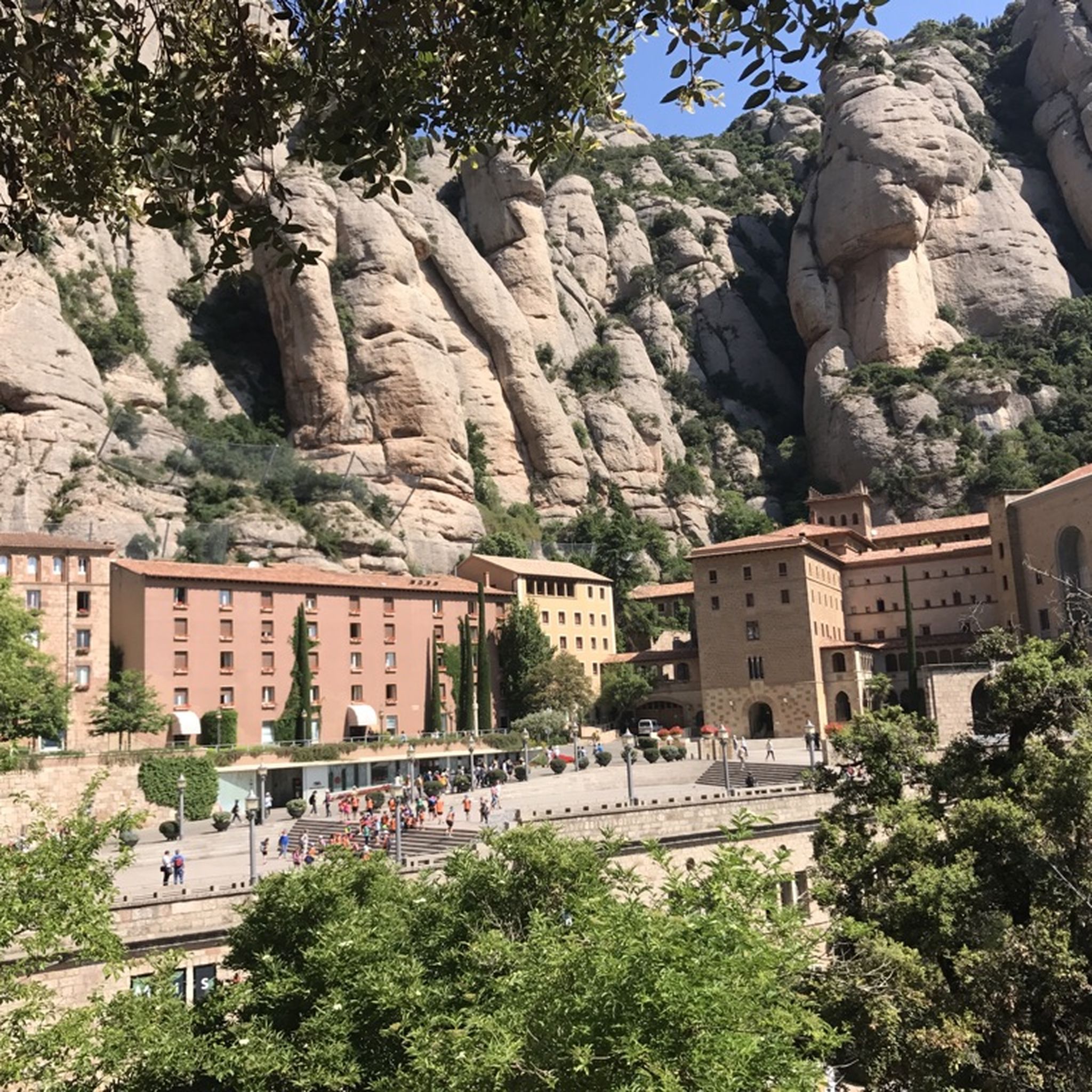
Hiking around Sant Vicenç De Castellet
Running Trails around Sant Vicenç De Castellet
Mountain Hikes around Sant Vicenç De Castellet
Other adventures around Sant Vicenç De Castellet

Tips from the Community


Nice section of path under the cliffs and then reaching a gorge where you can see water or even a waterfall if it has just rained
2
0

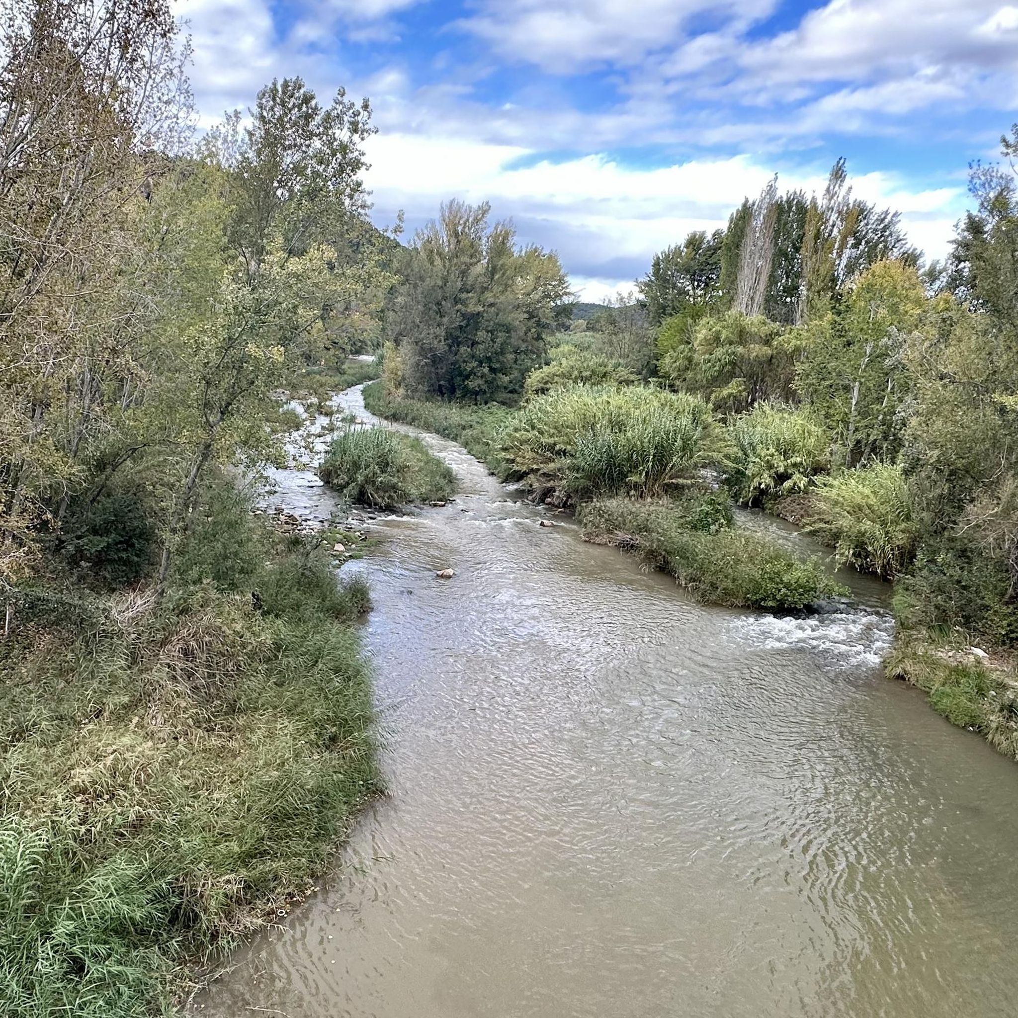
At this point in its course, the river Llobregat crosses the large cracks that it has opened in the strata of nodular limestone, so that when the course of the river is low, it can be crossed by jumping from rock to rock. The name comes from the fact that a "bigaire" (a rafter, who transported logs of wood joined together to form a boat) died at this point.
1
0

The Canal dels Micos is one of the classic canals of Montserrat. The first part has to advance climbing like monkeys (Monkeys) thanks to the roots of the trees. The final objective is spectacular, the Miranda dels Ecos, a privileged vantage point in the northern area of Montserrat. Note: the trail is probably not suitable for inexperienced hikers.
2
0
The Font dels Llaminers is an intermittent spring of water, located on the right bank of the Riera de Rellinars that flows in episodes of continuous rain. To access it, it is necessary to take the Camino de Les Boades, and once you have passed the Font de Carlets, some two hundred meters further up, on the right, the forest disappears and gives way to some conglomerate walls. In this place, the bed and the channels of the stream are a rocky platform with eroded channels, through which the water circulates.
1
0

In the "raft-driver gorge", the Llobregat passes through the large fissures it has opened in the nodular limestone rock layer, of marine origin in a continental platform. When the flow is low, it is possible to cross the river jumping from rock to rock. From the left bank there is a track that reaches the Tina de Roviralta located about 300m away.
1
0
Frequently Asked Questions
What kind of natural formations can I expect to find around Sant Vicenç de Castellet?
The area around Sant Vicenç de Castellet is known for its diverse geological formations, including impressive gorges and unique eroded landscapes. You'll find river-carved fissures like the Gola del Bigaire, challenging channels such as the Canal dels Micos, and distinctive 'badland' formations like the Muntanyes Russes, which feature deep furrows and ridges from extensive erosion. These sites are ideal for hiking and appreciating natural geological processes.
Are there any challenging gorges for experienced hikers in the region?
Yes, for experienced hikers seeking a challenge, the Canal dels Micos is a classic gorge in the Montserrat area. Its initial section requires climbing using tree roots, reminiscent of monkeys, to navigate. The reward for this effort is the spectacular Miranda dels Ecos, a privileged viewpoint offering stunning vistas.
What are the unique geological features to look out for in the canyons?
The region boasts several unique geological features. The Gola del Bigaire showcases wide fissures carved by the Llobregat river into nodular limestone strata. You can also explore 'badland' formations like the Muntanyes Russes and the Badland of Can Forns, characterized by extensively eroded landscapes with deep furrows and ridges on bluish marine mudstones. These areas offer a striking visual contrast and a glimpse into powerful natural erosional processes.
What is the best time of year to visit the gorges and badlands for hiking?
The best time to visit for hiking is generally during spring and autumn when the weather is milder and more pleasant. These seasons offer comfortable temperatures for exploring the trails and enjoying the natural beauty without the intense heat of summer or the potential for colder, wetter conditions in winter. After rain, some areas like Trail below cliffs might even feature temporary waterfalls.
Are there any family-friendly hiking options near these natural formations?
While specific 'family-friendly' categories aren't always assigned to the gorges themselves, many of the surrounding hiking trails are suitable for families. For example, the hiking guide for Sant Vicenç de Castellet includes routes like the 'Torre del Breny loop from Sant Vicenç de Castellet' which is rated as easy, making it a good option for families.
Can I find any spots for wild swimming near the gorges?
While the Gorg Blau of the Riera de Rajadell is a beautiful gorge, its stream water is often stagnant and cloudy, making it generally not recommended for bathing. However, the Pools of the Font dels Llaminers feature eroded channels where water circulates, offering a unique natural setting, though it's an intermittent spring that flows mainly after continuous rain.
What outdoor activities can I do near the canyons and gorges?
Beyond exploring the gorges themselves, the area offers a variety of outdoor activities. You can find numerous hiking trails, including loops around Sant Bernat Viewpoint. For cyclists, there are options for road cycling and gravel biking, with routes exploring the scenic landscapes around Sant Vicenç de Castellet.
Are there any historical or cultural sites integrated into hiking routes near the gorges?
Yes, the region offers a blend of natural beauty and historical context. Many hiking routes integrate cultural elements, such as the Romanesque hermitage of Sant Pere de Vallhonesta and the ancient nucleus of Vallhonesta. These sites provide a glimpse into the area's heritage while you explore the natural landscapes.
What do visitors enjoy most about the gorges and eroded landscapes in Sant Vicenç de Castellet?
Visitors particularly enjoy the unique geological formations and the opportunities for scenic hiking. The Gorg Blau of the Riera de Rajadell is appreciated for its tranquil environment, while the Trail below cliffs offers scenic views and the chance to see a waterfall after rain. The eroded channels and rocky platforms of the Pools of the Font dels Llaminers also captivate visitors with their distinctive appearance.
Is it possible to cross the Gola del Bigaire?
Yes, at the Gola del Bigaire, where the Llobregat river has carved wide fissures into nodular limestone, it is possible to traverse the gorge during periods of low river flow. You can cross by stepping across the rocks, offering a direct interaction with the river's geological impact.
Are there any specific viewpoints accessible from the gorges?
Yes, for those who undertake the challenging climb through the Canal dels Micos, the ultimate reward is reaching the spectacular Miranda dels Ecos. This is a privileged vantage point in the northern part of Montserrat, offering breathtaking panoramic views of the surrounding landscape.
What kind of vegetation can be found in the badland areas?
Despite the poor soil conditions in the badland areas like the Muntanyes Russes and the Badland of Can Forns, Aleppo pines manage to root and survive. These resilient trees can be found in the summits and bottoms of this distinctive terrain, adding a touch of green to the otherwise denuded, eroded landscapes.
Most popular routes around Sant Vicenç De Castellet
Most popular attractions around Sant Vicenç De Castellet

Get inspired with the komoot mobile app


Explore more
Already discovered everything in this region? See additional gorges around Sant Vicenç De Castellet for your next adventure:
