The 5 Most Amazing Peaks around Ponte Caldelas
Best mountain peaks near Ponte Caldelas are found within a mountainous region of Galicia, Spain, featuring elevated terrain and the Verdugo River. The area offers various hiking routes that traverse these elevated areas, providing natural beauty and panoramic views. These trails often feature lush forests and riverbanks, showcasing the region's diverse landscape. Numerous elevated points and hiking opportunities allow visitors to experience the mountainous landscape.
Best mountain peaks around Ponte Caldelas
- The most popular mountain peaks is Viewpoint of Monte…
Last updated: July 4, 2026
Three Estuaries Viewpoint
Highlight • Viewpoint
Translated by Google •
Tip by

Viewpoint of Monte A Peneda
Highlight • Viewpoint
The chapel of Nosa …
Translated by Google •
Tip by

Sign up now to discover places like this
Get recommendations on the best single tracks, peaks, & plenty of other exciting outdoor places.
Sign up for free
Pozo Piñeiro and Sierra de Suído Ascent
Highlight (Segment) • Lake
Translated by Google •
Tip by
Monte Monzón
Highlight • Summit
Translated by Google •
Tip by
Porta do Alén (Portalén) Rock Formation
Highlight • Natural Monument
Translated by Google •
Tip by
Sign up for free to discover even more peaks around Ponte Caldelas.
Sign up for free
Already have an account?
Start today with a free account
Your next adventure awaits.
Login or Signup

Tips from the Community

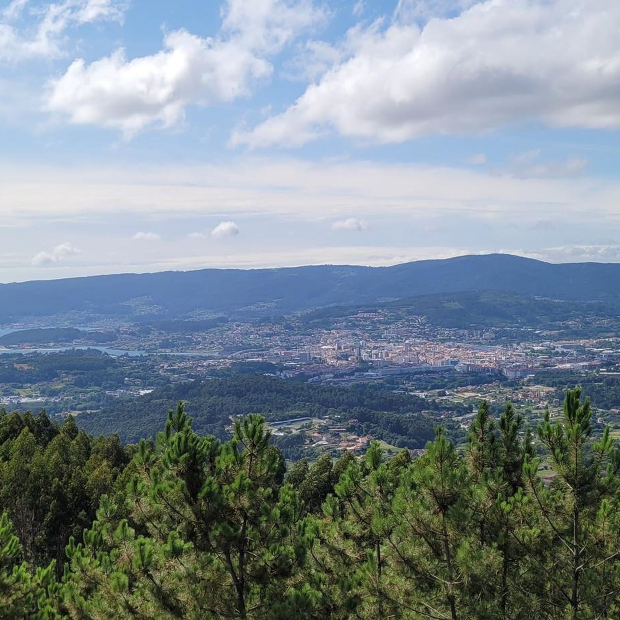
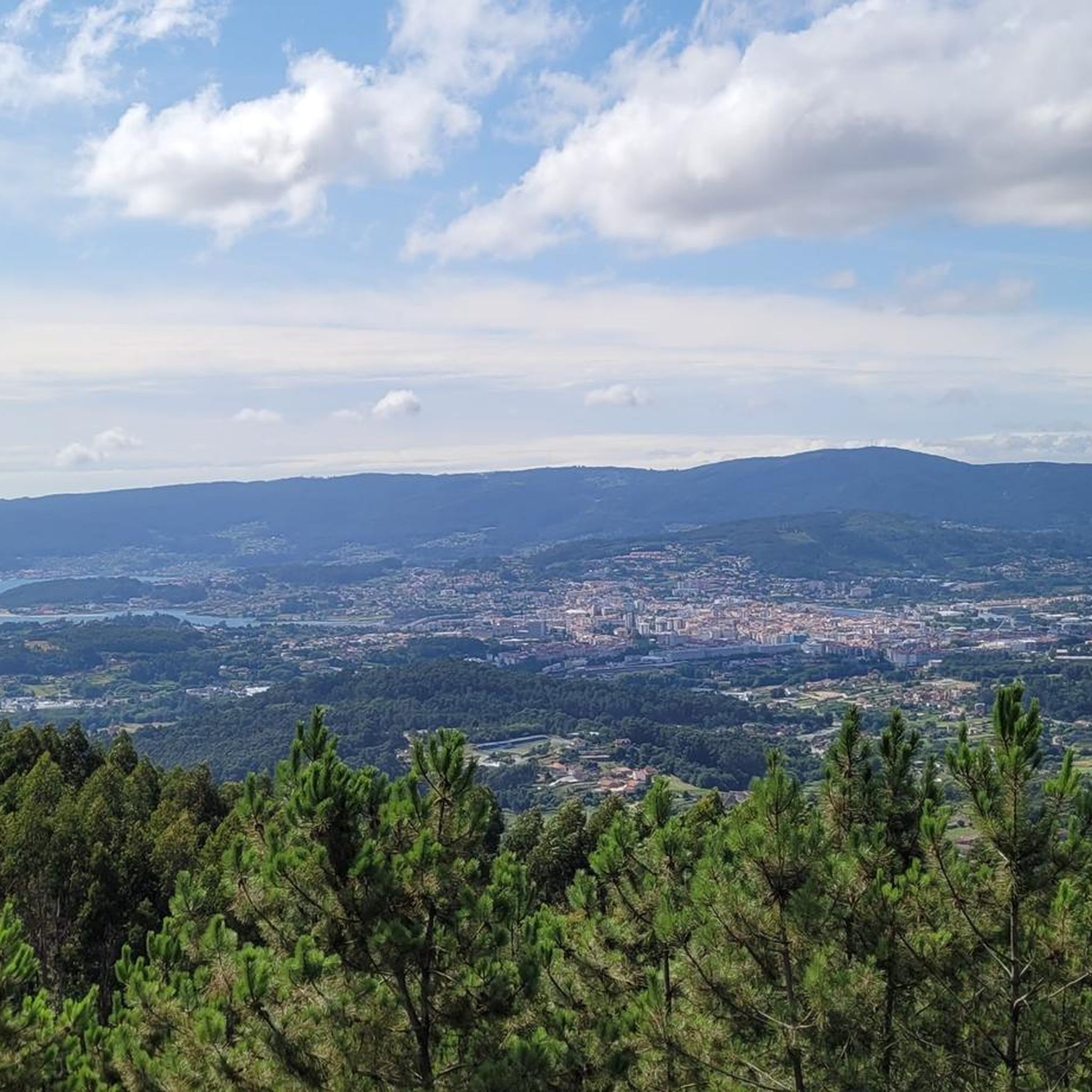
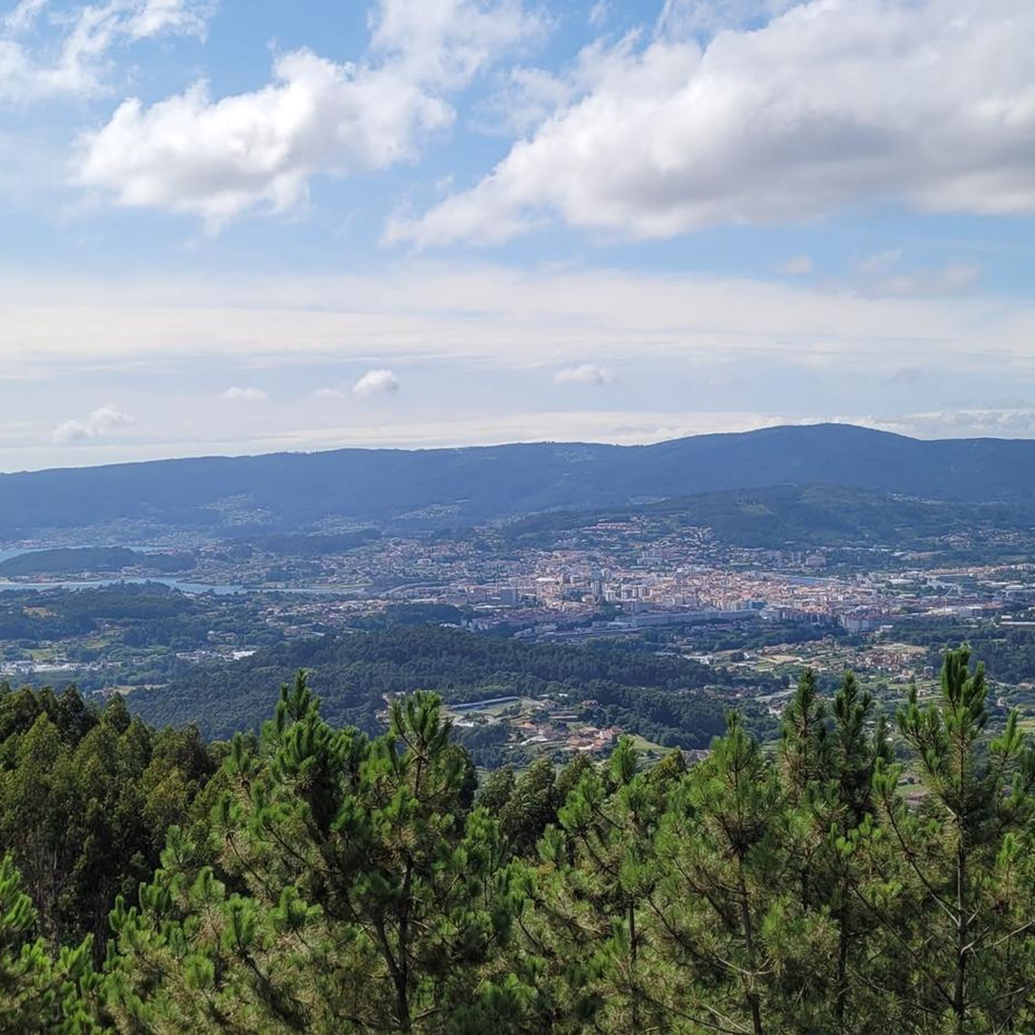
At 472 m above sea level, the Monźon peak is the highest point in the municipality of Soutomaior. Spectacular views of the Ría de Vigo to the west and the surrounding mountains to the east. Great hiking trails through the woods.
1
0
Granite boulders typical of the Galician massif mark this important peak at the top of A Serra do Cando. Locals believe that the rocks sculpted by the passage of time and climate are the door to the afterlife.
1
0
Spectacular views from the Mirador de las tres Rías. The top of this mountain is covered in wind turbines. Whether we like it or not, they are here to stay.
1
0

Unfortunately, there was nothing to see. It was raining.
1
0
After climbing the Sierra de Suído, over 750 meters high, you reach this unique natural setting with a lake that collects rainwater from the slopes of the Bidueiros Massif. This is the natural space known as Pozo Piñeiro in the municipality of Covelo
1
0

Elevated, with a unique shape and visible from much of the region, Mount A Peneda is one of the most unique places around the Vigo estuary. The chapel of Nosa Señora das Neves or Virxe da Peneda, dating from the 17th century, presides over the top of this peak of 329 meters and very steep slopes. The building occupies the site of the A Peneda fort, a settlement that took advantage of the easy strategic defense and the breadth of views. From the A Peneda viewpoint, next to its old cork oak, you can see the Vigo estuary, from its formation at the mouth of the Verdugo River to Rande, with the Cíes Islands in the background.
2
0

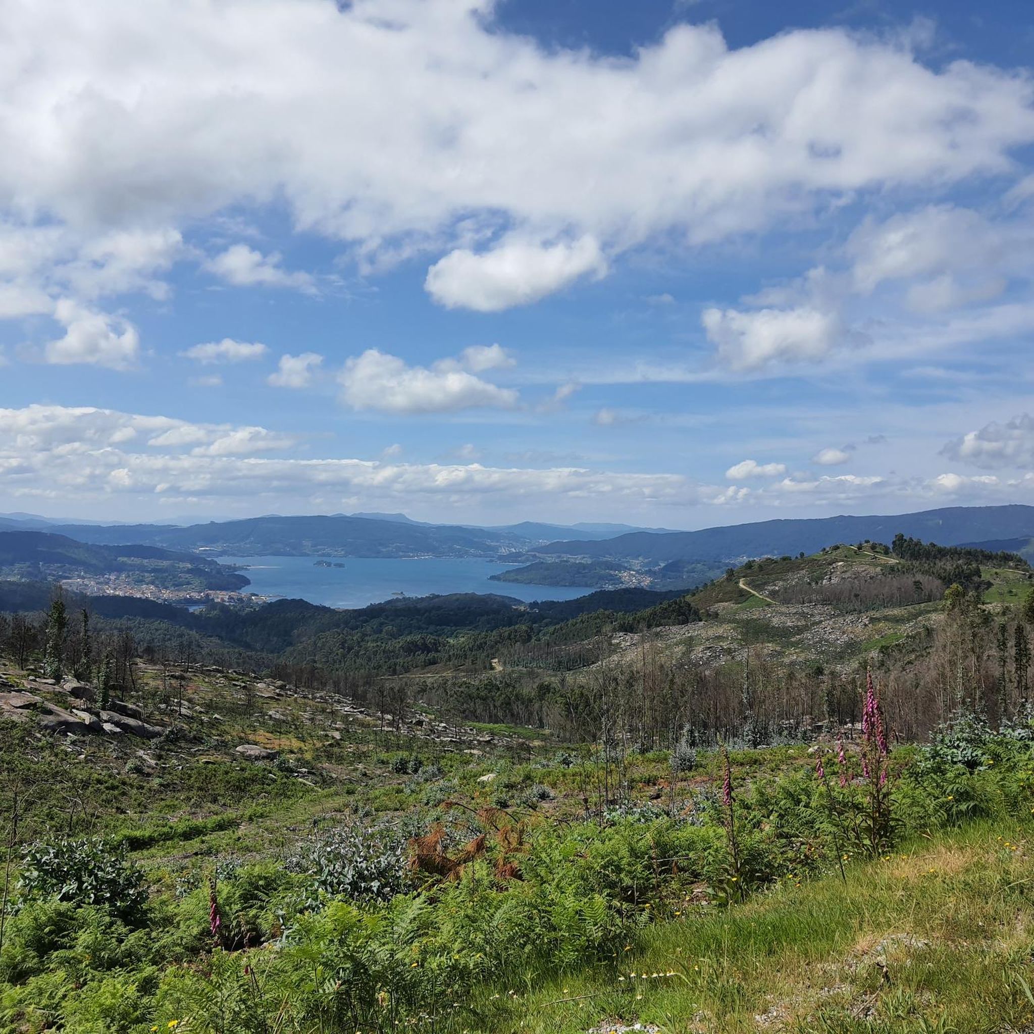
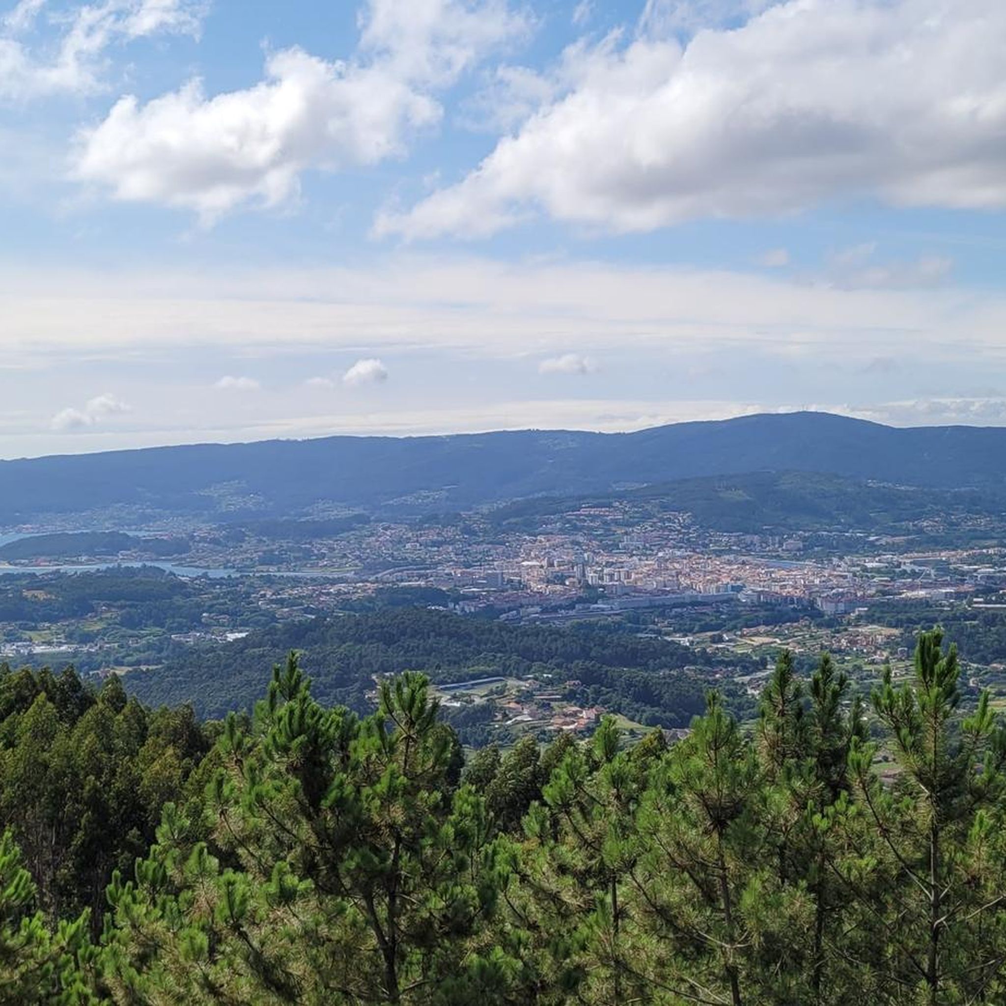
Impressive 360º views and a luxury to be able to see the estuaries of Vigo, Pontevedra and Arousa.
0
0

Viewpoint from which you can see the estuaries of Vigo, Pontevedra and Arousa.
0
0
Frequently Asked Questions
What are some of the most notable elevated areas and viewpoints near Ponte Caldelas?
The region offers several impressive elevated points. Among them are the Viewpoint of Monte A Peneda, known for its unique shape and 17th-century chapel, and the Three Estuaries Viewpoint, which provides expansive 360º views of the Vigo, Pontevedra, and Arousa estuaries. Another significant spot is Monte Monzón, the highest point in the municipality of Soutomaior, offering views of the Ría de Vigo.
Are there hiking trails that lead to these elevated areas around Ponte Caldelas?
Yes, the region is rich in hiking opportunities. For instance, the Sierra de Candó area, near Ponte Caldelas, features routes like the 'Sierra de Candó Crossing' which leads to the Miradoiro das Tres Rías. Additionally, Monte Monzón has great hiking trails through its woods. The municipality also offers routes like the 'Sendero Azul del Río Verdugo' and the 'Camino Real o Ruta dos Arrieiros' that traverse elevated terrain.
What kind of natural features can I expect to see on these mountain trails?
You can expect diverse natural beauty, including lush forests, riverbanks along the Verdugo River, and areas characterized by granite boulders. Elevated points like Pozo Piñeiro and Sierra de Suído Ascent feature a unique natural setting with a lake that collects rainwater. Many trails offer panoramic vistas of the surrounding Galician countryside and estuaries.
Are there any historical or cultural sites located on or near these elevated points?
Yes, history is woven into the landscape. The Viewpoint of Monte A Peneda is home to the 17th-century chapel of Nosa Señora das Neves, built on the site of an ancient fort. The Sierra de Candó region also has granite boulders that locals sometimes associate with spiritual significance, adding a cultural layer to the natural experience.
What is the highest point I can reach near Ponte Caldelas?
One of the highest points you can reach is the Sierra de Suído Ascent, which rises over 750 meters high. Within the immediate vicinity, Monte Monzón stands at 472 meters above sea level, making it the highest point in the municipality of Soutomaior.
Are there any easy or family-friendly mountain walks in the area?
While specific trails are not categorized as 'easy' in the provided data, the municipality of Ponte Caldelas offers a range of hiking routes with varying difficulty levels. The 'Sendero Azul del Río Verdugo' often features gentle riverbanks, which can be suitable for families. It's always recommended to check specific route details for elevation and terrain to ensure it matches your group's abilities.
What kind of views can I expect from the mountain peaks around Ponte Caldelas?
The views are a major highlight. From the Viewpoint of Monte A Peneda, you can see the Vigo estuary, with the Cíes Islands in the background. The Three Estuaries Viewpoint offers impressive 360º panoramas of the Vigo, Pontevedra, and Arousa estuaries. From Monte Penizas, you get a spectacular view over Marín and the Ría de Pontevedra.
What outdoor activities can I do near these mountain peaks besides hiking?
The region around Ponte Caldelas is excellent for various outdoor activities. You can find numerous cycling routes, including touring bicycle and road cycling options, such as the 'Ponte Caldelas and Cotobade Loop' or the 'Lérez River and Xunqueira de Alba Loop'. For mountain biking enthusiasts, there are MTB trails like the 'Ponte Caldelas - return via Coto Aguda and Tourón Archaeological Area'. You can explore these routes further in the Cycling around Ponte Caldelas, Road Cycling Routes around Ponte Caldelas, and MTB Trails around Ponte Caldelas guides.
Are there any specific viewpoints that offer particularly breathtaking panoramic views?
Absolutely. The Three Estuaries Viewpoint is renowned for its impressive 360º views, allowing you to see the estuaries of Vigo, Pontevedra, and Arousa simultaneously. Another excellent spot is the View of Marín and the Ría de Pontevedra from Monte Penizas, which provides a spectacular vista over the town of Marín and the Ría de Pontevedra.
What do visitors enjoy most about the mountain peaks and elevated areas around Ponte Caldelas?
Visitors consistently praise the spectacular and impressive views from various viewpoints, such as the Mirador de las tres Rías. The unique shape and historical significance of places like Monte A Peneda also captivate visitors. The opportunity for intimate encounters with nature, serene environments, and great hiking trails through the woods, as found around Monte Monzón, are also highly appreciated.
Is there a good time of year to visit the mountain peaks near Ponte Caldelas?
While specific seasonal recommendations are not detailed, the region's natural beauty, characterized by lush forests and riverbanks, suggests that spring and autumn would offer pleasant temperatures and vibrant scenery for hiking. Summer can also be enjoyable, though it might be warmer. Winter trails are available, but it's always advisable to check local weather conditions before heading out.
Are there any hidden gems or less-known elevated spots worth exploring?
While not explicitly 'hidden gems' in the data, the Pozo Piñeiro and Sierra de Suído Ascent offers a unique natural setting with a lake at over 750 meters high, which might be less frequented than the more prominent viewpoints. Exploring the various hiking routes mentioned, such as the 'Camino Real o Ruta dos Arrieiros', can also lead to serene and less crowded elevated sections.
Most popular routes around Ponte Caldelas
Most popular attractions around Ponte Caldelas

Get inspired with the komoot mobile app


Explore more
See even more amazing summits around Ponte Caldelas with these guides:
