Top 6 Gorges around Lanteira
Best canyons around Lanteira are characterized by deep river valleys and ravines, locally known as "barrancos," within Spain's Sierra Nevada Natural Park. These natural formations provide opportunities for hiking, nature observation, and exploring the region's historical heritage. The area features diverse landscapes, from dramatic cliffs to forested river paths. Lanteira serves as a starting point for excursions into the higher mountains and offers a peaceful environment for outdoor activities.
Best canyons around Lanteira
- The most popular canyons is View of…
Last updated: July 4, 2026
Granada Geopark
Highlight • Natural Monument
The landscape is deeply marked by the erosion of …
Tip by

Cliffs and Forests of Guadix
Highlight • Gorge
Translated by Google •
Tip by

Sign up now to discover places like this
Get recommendations on the best single tracks, peaks, & plenty of other exciting outdoor places.
Sign up for free
View of Hoya de Guadix
Highlight • Viewpoint
Translated by Google •
Tip by

Alhorí Ravine
Highlight • Gorge
Translated by Google •
Tip by

Edge of the world
Highlight (Segment) • Viewpoint
Translated by Google •
Tip by

Sign up for free to discover even more gorges around Lanteira.
Sign up for free
Already have an account?
Start today with a free account
Your next adventure awaits.
Login or Signup

Tips from the Community

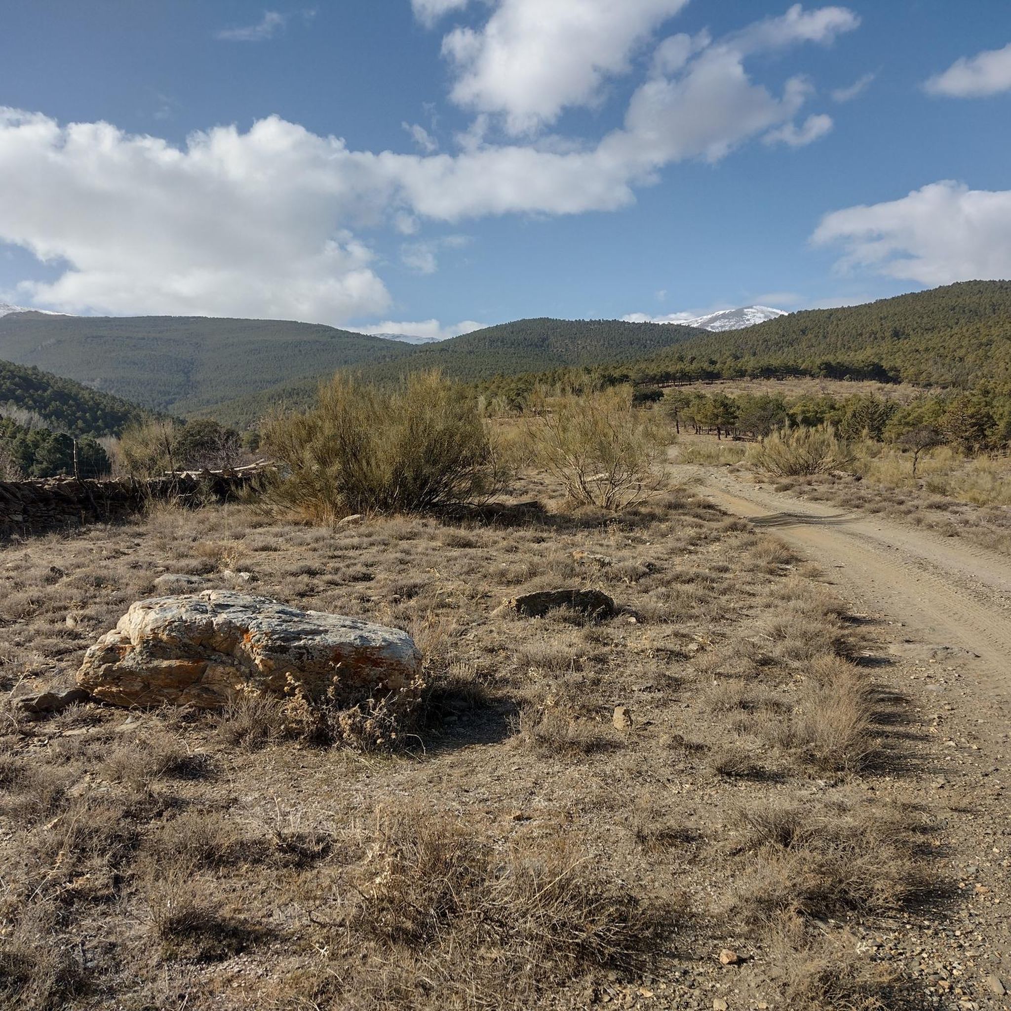
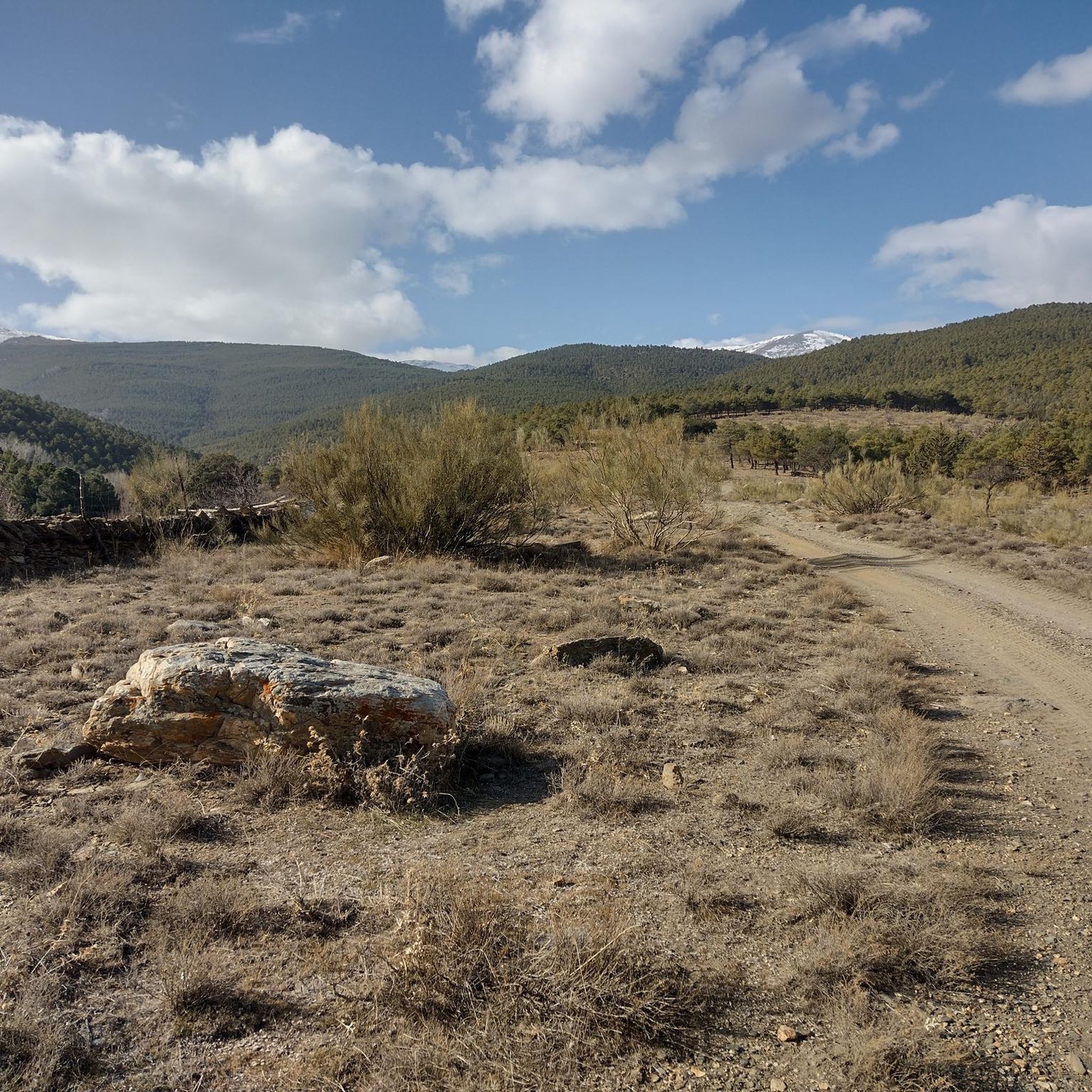
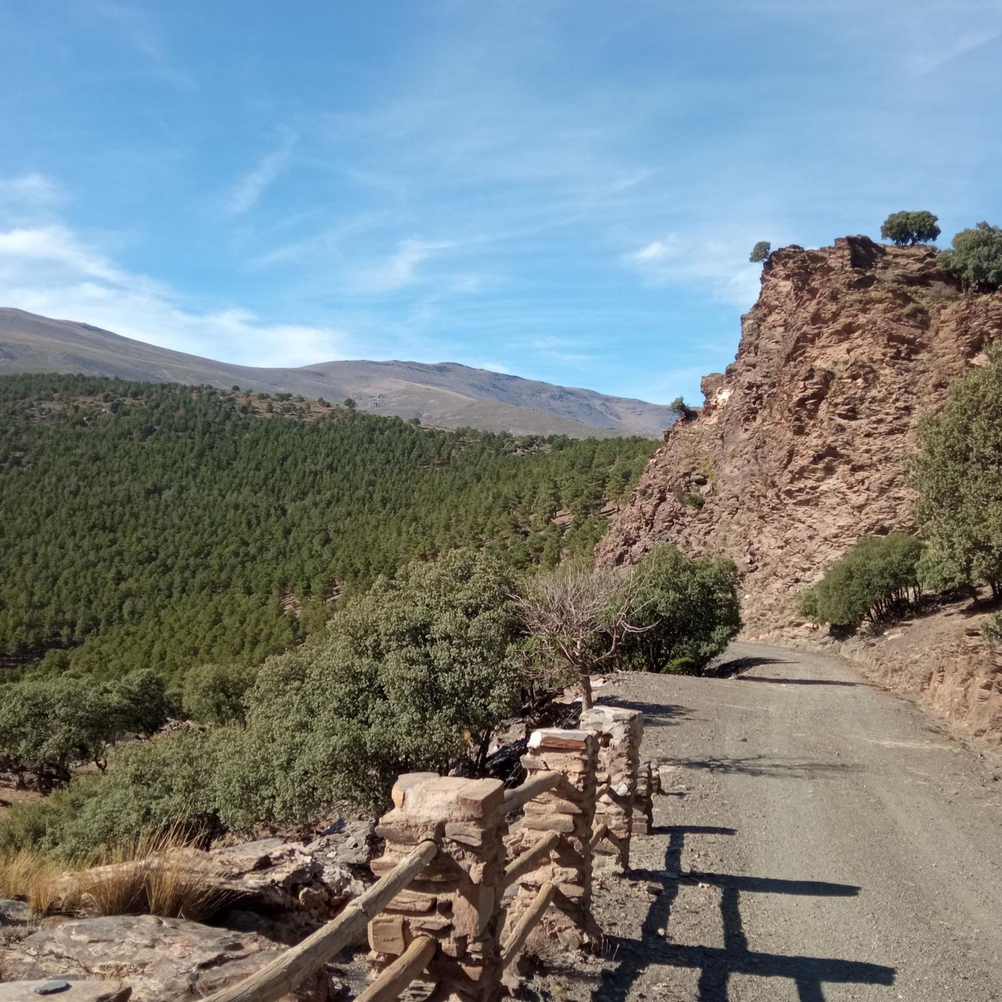
The Alhorí springs appear during the climb, they spring up at the foot of the cliffs, in the peat bogs or come out from between the stones on the path. The route goes over the steps carved during the glacial modelling process that designed the current reliefs of the Sierra Nevada mountains and reaches the isolated glacial cirque of the Ventisquero del Carbón, where the highest sources of the Alhorí are. It is amazing to find a trickle of water and green bushes in such a desolate and solitary place of pure rock. The path has stone milestones and continues clearly to the right of the spring towards the bottom of the cirque, there is still a good steep slope to the summit of the Picón.
0
0

Totally impressive and very steep path to the Mirador del Fin del Mundo.
1
0

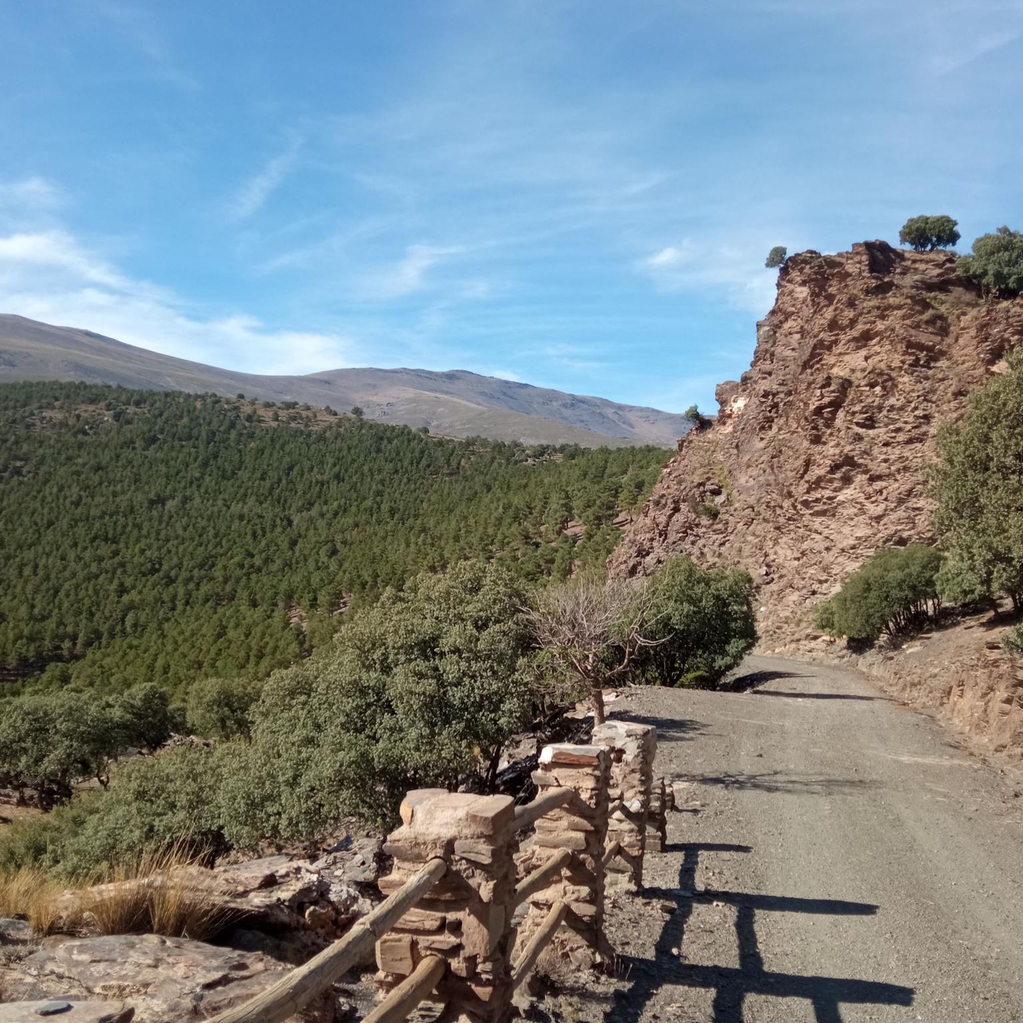
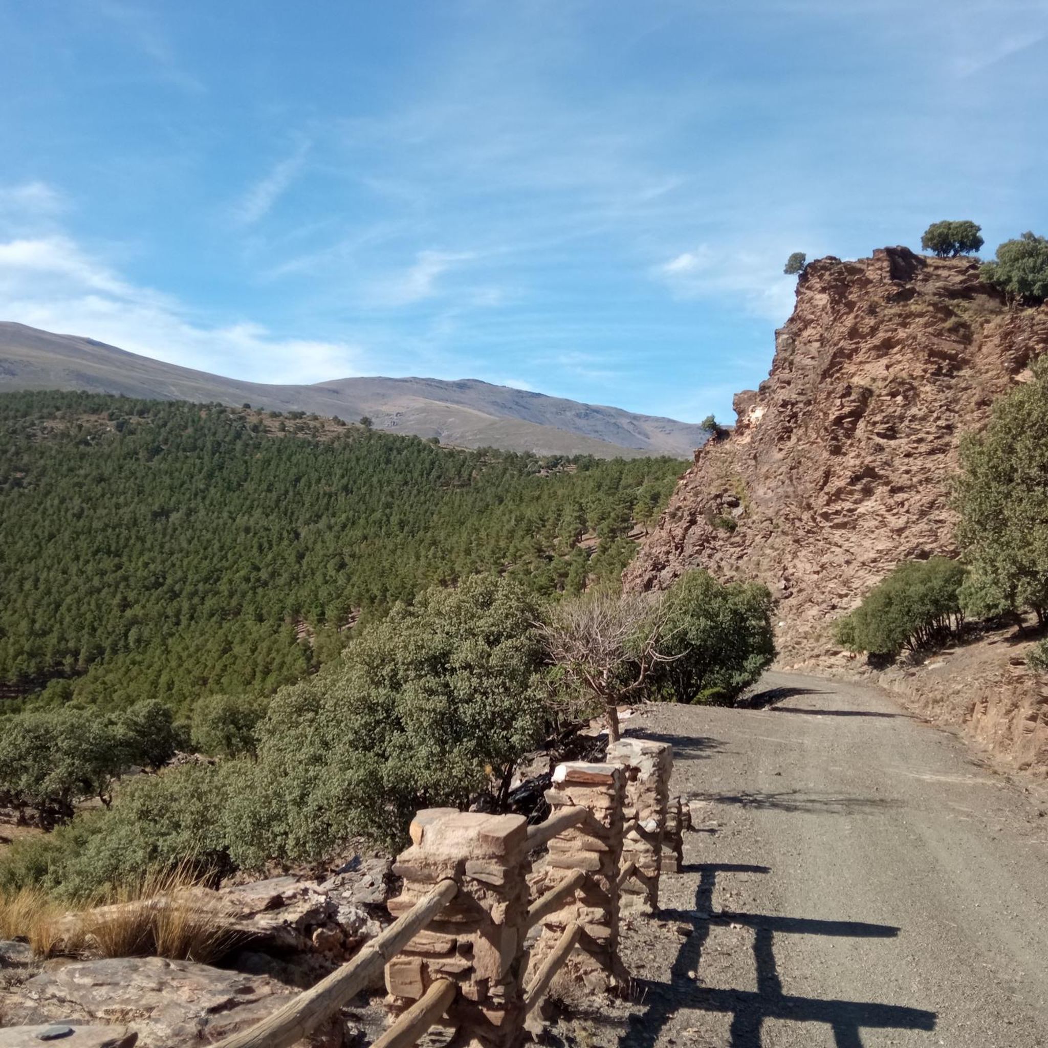
Exciting but beautiful path that sometimes literally goes along the edge of the cliff. So pay attention! As you cycle at altitude on a single track, you have beautiful views of the valleys below.
2
0

La Hoya de Guadix is a surprising plain where you can enjoy the path and its views of the ravines and a unique landscape marked by the erosion of the Fardes and Guadix river basins.
2
0

On this MTB Route that began in Guadix, I pass through several towns, Paulenca, Marchar, Policar, Beas de Guadix and back to Guadix, I pass through some cliffs and forests that I recommend is the jewel of Guadix, also if we are going through the Inside the towns we can see the famous typical cave houses in this area of Granada and the ravines produced by inclement weather throughout history.
1
0
It seemed like a spectacular route to me, and I'll do it on MTB, but I'll also do it as a Trekking route, it's fabulous to spend several days walking through the cliffs and caves of the town of El Marchal, beas de Guadix, lugros and also to be able to drink the rich wine of the Policar land
3
0

The Granada Geopark is a natural plain plenty of gullies and badlands in the northern part of the province of Granada. The landscape is deeply marked by the erosion of the basins of the Rivers Fardes and Guadix, being one of the oldest human settlements in the Iberian Peninsula and containing the largest concentration of cave dwellings and dolmens in Europe.
6
0
Frequently Asked Questions
What unique geological features can I explore in the canyons around Lanteira?
The canyons around Lanteira, often referred to as 'barrancos,' are characterized by dramatic landscapes shaped by erosion. You can discover areas like the Granada Geopark, a natural monument featuring extensive gullies and badlands formed by the Fardes and Guadix river basins. The View of Hoya de Guadix also offers a perspective on these unique eroded plains and ravines.
Are there historical sites or cultural insights to discover while exploring the canyons near Lanteira?
Yes, the region offers a blend of natural beauty and history. Along the Río del Pueblo, you can hike the 'Ruta de los Molinos' (Route of the Mills), an easy circular trail showcasing several ancient flour mills, some in ruins and others restored. The Barranco del Alcázar also features remnants of old hydroelectric plants that once powered the nearby Alquife mines. Lanteira itself has a rich history, including Roman origins as a silver mining site, and historical structures like the Church of Santa María de la Anunciación.
What kind of hiking opportunities are available in the barrancos near Lanteira?
Lanteira is an excellent starting point for various hiking trails. You can find routes catering to different fitness levels, from easy strolls like the 'Ruta de los Molinos' along the Río del Pueblo to more challenging routes deeper into the Sierra Nevada Natural Park. The Barranco del Toril offers spectacular scenery for hikers, and the Barranco del Alcázar provides a moderate difficulty hike through dense forests. For more options, explore the hiking guide around Lanteira.
What is the best time of year to visit the canyons and barrancos in Lanteira?
Autumn is particularly recommended for visiting the barrancos around Lanteira. During this season, the riverside poplars along the Río del Barrio and the dense forests of pines and holm oaks in the Barranco del Alcázar display spectacular golden and vibrant autumnal colors, enhancing the natural beauty of the trails.
Are there family-friendly hiking options in the canyons around Lanteira?
Yes, there are options suitable for families. The 'Ruta de los Molinos' in the Barranco del Pueblo is an easy, circular route, approximately 6.5 km long, perfect for a family outing. It combines natural scenery with historical insights into ancient flour mills. Additionally, recreational areas like La Tizná near Barranco del Alcázar and spots near the Río del Pueblo waterfall provide pleasant settings for picnics and enjoying nature with children.
Can I bring my dog on the trails in the Lanteira canyon areas?
While specific rules for dog access can vary, many natural trails in the Sierra Nevada Natural Park are generally dog-friendly, especially if dogs are kept on a leash. It's always advisable to check local signage or park regulations for specific areas like the Barranco del Toril or the Ruta de los Molinos to ensure compliance and respect for wildlife.
What other outdoor activities can I do near the canyons of Lanteira?
Beyond hiking, the region around Lanteira offers excellent opportunities for cycling. You can find various routes for touring bicycles and road cycling, exploring the diverse landscapes of the Sierra Nevada. For detailed routes and difficulty levels, you can check out the cycling guide around Lanteira and the road cycling guide.
What makes the Barranco del Toril a notable place to visit?
The Barranco del Toril, also known as Tajos del Toril, is considered a spectacular natural area located in the headwaters of the Río del Barrio. It's notable for its dramatic landscape and impressive natural formations. Access to its lower section is relatively easy, making it an appealing destination for hikers seeking stunning scenery and a unique experience.
Are there any viewpoints offering panoramic views of the canyons and surrounding landscape?
Yes, the View of Hoya de Guadix is a popular viewpoint that provides extensive views of the ravines and the unique landscape shaped by the erosion of the Fardes and Guadix river basins. Another spot, the Edge of the world, offers exciting views of the valleys below from a high-altitude single track.
What can I expect when hiking along the Río del Barrio?
Hiking along the Río del Barrio, which flows east of Lanteira, offers an immersive experience in a purely forest environment. The path provides serene views and a tranquil experience, especially beautiful in autumn when the riverside poplars turn golden. It often forms part of longer routes that delve deeper into the natural beauty of the Sierra Nevada.
Do I need permits to hike in the Sierra Nevada Natural Park near Lanteira?
For general hiking on established trails within the Sierra Nevada Natural Park near Lanteira, permits are typically not required. However, if you plan to undertake specific activities like climbing, camping in designated areas, or accessing certain restricted zones, it's advisable to check the official Sierra Nevada Natural Park regulations for any necessary permits or permissions.
What is the difficulty level of the Alhorí Ravine trail?
The Alhorí Ravine trail is considered challenging. It involves a significant climb, passing by the Alhorí springs and over steps carved by glacial modeling. The route leads to the isolated glacial cirque of the Ventisquero del Carbón, with a steep slope towards the summit of the Picón, making it suitable for those with good physical condition and experience.
Most popular routes around Lanteira
Most popular attractions around Lanteira

Get inspired with the komoot mobile app


Explore more
Already discovered everything in this region? See additional gorges around Lanteira for your next adventure:
