Top 5 Gorges around El Recuenco
Canyons around El Recuenco are situated at the intersection of the Serranía de Cuenca, La Alcarria, and the Alto Tajo, featuring a rugged landscape with significant canyons and ravines. The area's natural beauty is complemented by its proximity to the Alto Tajo Natural Park, a region known for extensive geological formations. This location provides access to diverse natural environments, including deep river depressions and mountain ranges with abrupt relief. The landscape is characterized by impressive rock formations and varied ecosystems.
…Last updated: July 4, 2026
Ascent Through Barranco del Hoyo
Highlight (Segment) • Trail
Translated by Google •
Tip by

Tormo de la Muesca Viewpoint
Highlight • Viewpoint
Translated by Google •
Tip by

Sign up now to discover places like this
Get recommendations on the best single tracks, peaks, & plenty of other exciting outdoor places.
Sign up for free
View of Hoz Somera and Los Castillejos Rock Formation
Highlight • Viewpoint
Translated by Google •
Tip by

Start today with a free account
Your next adventure awaits.
Login or Signup
Tips from the Community

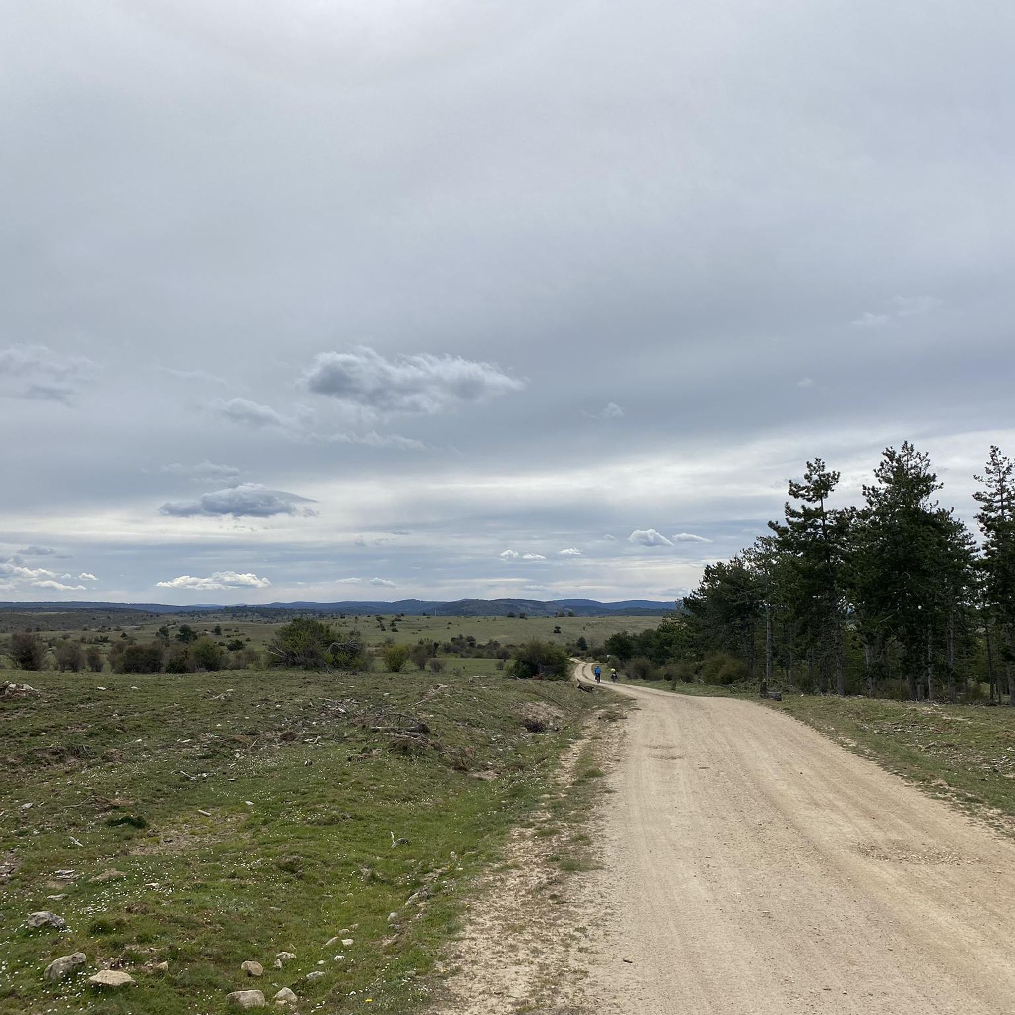
Upper part of La Hoz Somera. Landscape of the wild and beautiful environment.
0
1

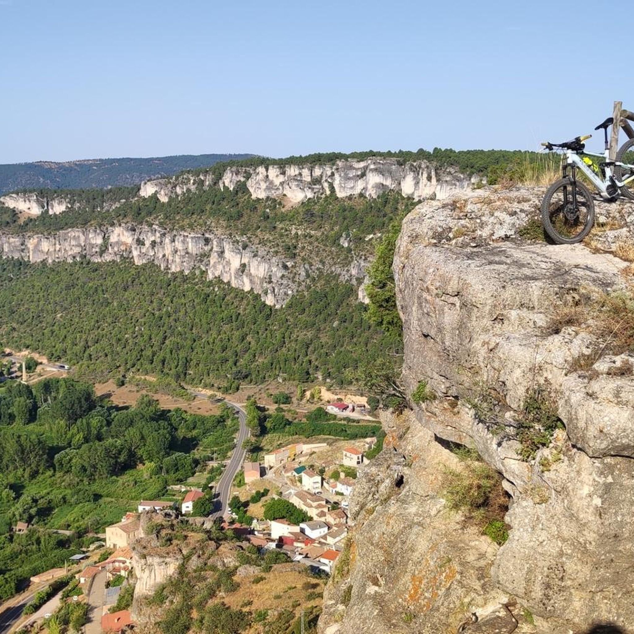
The Mirador del Tormo de la Notch is a fascinating place located in the Carrascosa region. From this viewpoint, you can enjoy impressive panoramic views of the surroundings.
1
0

Steep and technical climb to exit the Cuervo River canyon towards the town of Carrascosa while avoiding following the course of the river. The bike may have to be pushed. With spectacular scenery, it is worth not being discouraged by the route and enjoying the surroundings.
0
0
PR 01 Path through La Pedriza. It is a route for people very used to mountain terrain and in good physical shape. It is a tour that must be done in summer, since it takes a whole day to complete the itinerary.
10
0

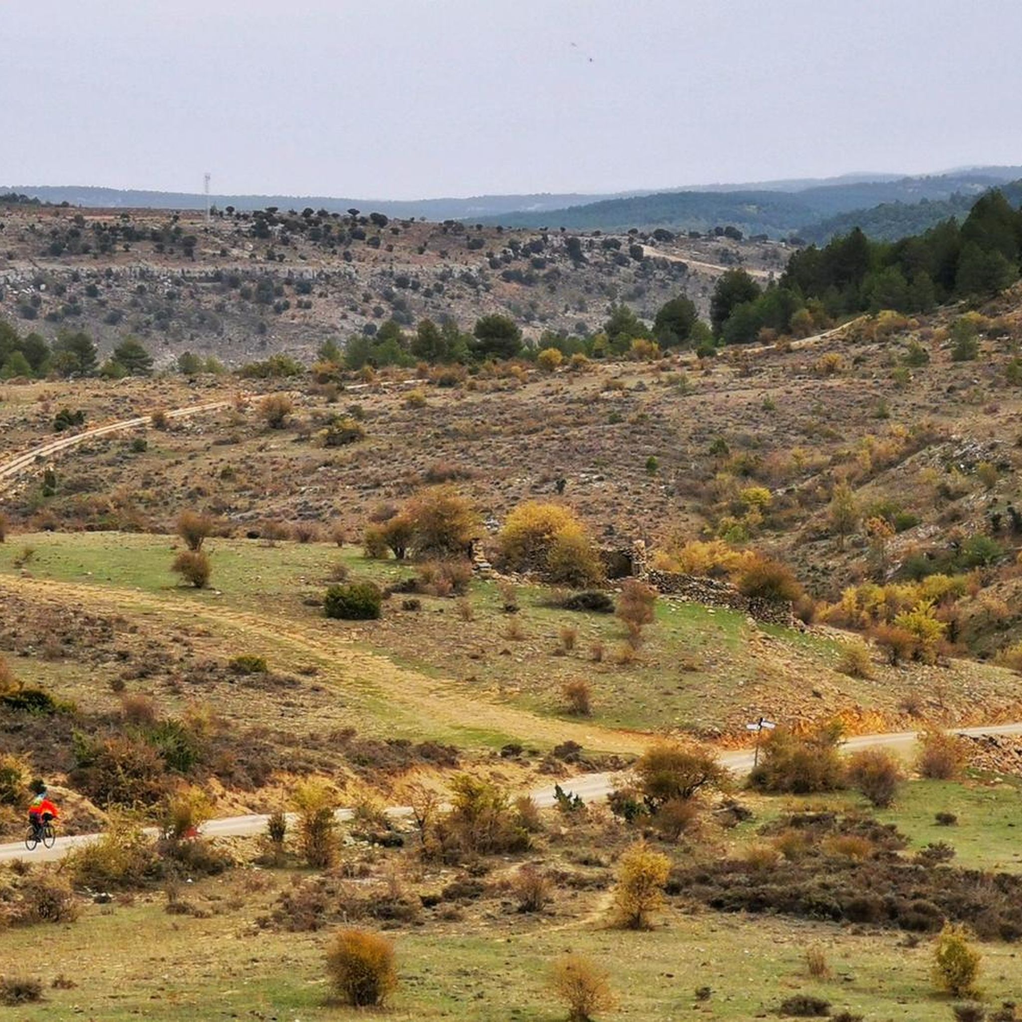
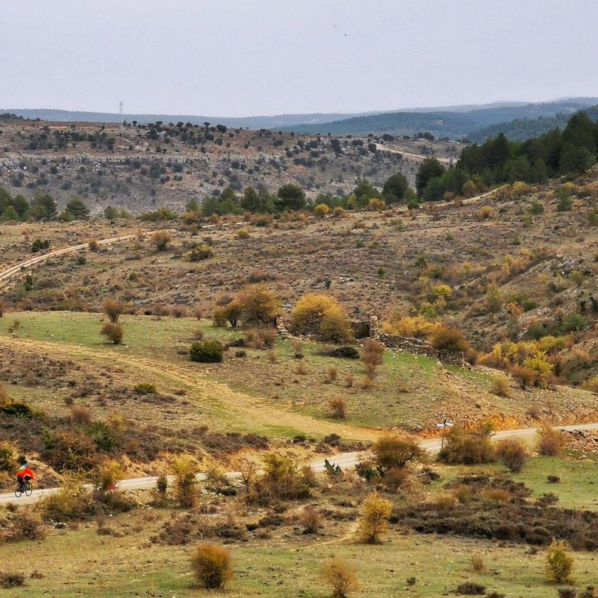
In order not to backtrack from the beautiful Embalse del Molino de Chincha to Puente de Vadillos, on the route to Beteta, you have to cross the nature reserve above the Chincha dam. The steep climb along the Barranco del Hoyo follows a faint single track path, barely visible due to a small landslide at the beginning of the climb. This is a tough hike-a-bike where you have to carry your bike over some steep rocky sections. Only try this at day time in good weather. At night or in wet weather this can be quite dangerous.
0
0

Beautiful views of the Guadiela river ravine and the Hoz de Tragavivos, an impressive landscape worthy of several postcards. It is reached from the town of Cañizares by the path marked out as PR-CU 91.
3
0
Surrounded by peaks that exceed 1,000 meters above sea level, this panoramic point offers the best views of the Hoz Somera and the imposing landscape that surrounds it.
2
1
Frequently Asked Questions
What are the most notable canyons and viewpoints around El Recuenco?
The area around El Recuenco offers several impressive natural features. You can visit the Tormo de la Muesca Viewpoint for beautiful views of the Guadiela river ravine and the Hoz de Tragavivos. Another significant spot is the View of Hoz Somera and Los Castillejos Rock Formation, offering panoramic views surrounded by peaks over 1,000 meters. The Barranco del Río de Alcantud, originating near El Recuenco, also carves a deep, fertile valley with a humid forest and old water mill ruins.
What kind of geological formations and natural landscapes can I expect to see?
The region is characterized by a rugged landscape with significant canyons, ravines, and abrupt relief. You'll find imposing cliffs, extensive pine and holm oak forests, and unique geological formations like crevices, jagged peaks, and monoliths, especially within the nearby Alto Tajo Natural Park. The Sierra de la Bienvenida, bordering El Recuenco, features beautiful crags and offers spectacular views of the village and the Vega de San Sebastián.
Are there opportunities for hiking near the canyons of El Recuenco?
Yes, there are numerous hiking opportunities. The Sierra de la Bienvenida offers routes like the one to the Ermita de Nuestra Señora de la Bienvenida, providing panoramic vistas. For more challenging terrain, consider the Ascent Through Barranco del Hoyo, a steep and technical trail through the Cuervo River canyon. You can also explore various hiking trails in the broader area, including those listed in the Hiking around El Recuenco guide, which features routes like the 'Rambla del Avellano – circular desde Arbeteta'.
What is the Alto Tajo Natural Park and how is it connected to El Recuenco?
El Recuenco serves as a gateway to the Alto Tajo Natural Park, which is renowned for having the largest continuous network of canyons and gorges in Castile-La Mancha. This park, formed by the Tagus river and its tributaries, is celebrated for its geological, botanical, and faunal diversity, providing habitats for various birds of prey, otters, and fish. It's an ideal starting point for exploring some of Spain's most impressive geological formations.
What wildlife can be observed in the canyons and natural areas?
The canyons and surrounding natural areas, particularly within the Alto Tajo Natural Park, are rich in biodiversity. They provide habitats for various birds of prey, otters, and fish. The diverse ecosystems, including humid forests in barrancos and extensive pine and holm oak forests, support a wide range of flora and fauna.
What are some challenging routes for experienced hikers or cyclists?
For experienced adventurers, the Ascent Through Barranco del Hoyo is a steep and technical hike-a-bike route through the Cuervo River canyon, requiring good physical shape. For cycling, routes like 'Alto Tajo and Arbeteta Castle Loop' from the Road Cycling Routes around El Recuenco guide are rated as difficult.
Are there any historical or cultural points of interest near the canyons?
While the primary focus is natural beauty, the Barranco del Río de Alcantud features the ruins of an old water mill within its depths. Additionally, the hiking route in the Sierra de la Bienvenida leads to the Ermita de Nuestra Señora de la Bienvenida, a hermitage perched on an elevated plateau, offering a blend of natural beauty and local heritage.
What is the best time of year to visit the canyons around El Recuenco?
While specific seasonal recommendations for all canyons are not provided, some challenging routes, like the PR 01 Path through La Pedriza near Hoz Somera, are recommended for summer due to their duration and terrain. Generally, spring and autumn offer milder temperatures suitable for outdoor activities, while summer allows for longer daylight hours for extensive exploration.
What do visitors say about the canyons and viewpoints in the area?
Visitors appreciate the spectacular scenery and impressive panoramic views. For instance, the Tormo de la Muesca Viewpoint is noted for its 'beautiful views of the Guadiela river ravine and the Hoz de Tragavivos, an impressive landscape worthy of several postcards.' The challenging Ascent Through Barranco del Hoyo is also highlighted for its 'spectacular scenery,' encouraging visitors not to be discouraged by the difficulty.
Are there any specific permits required for hiking or canyoning in the Alto Tajo Natural Park area?
For general hiking on marked trails within the Alto Tajo Natural Park, permits are typically not required. However, for specific activities like canyoning or accessing certain restricted areas, it is advisable to check with the park's official administration for any necessary permits or regulations. You can find more information about the park on Wikipedia.
Can I find family-friendly walks or activities in the canyons around El Recuenco?
While some routes are challenging, the general natural beauty of the area offers opportunities for family-friendly walks, especially on less strenuous sections or viewpoints. Exploring areas like the Barranco del Río de Alcantud, with its humid forest, can be a gentle introduction to the region's natural wonders. Always check the difficulty ratings of specific trails to ensure they are suitable for all family members.
What other outdoor sports can I do near the canyons of El Recuenco?
Beyond hiking, the area around El Recuenco is excellent for cycling. You can find various routes for road cycling in the Road Cycling Routes around El Recuenco guide, including moderate options like 'El Recuenco Start – Alcantud loop'. For touring bicycles, the Cycling around El Recuenco guide offers routes such as 'Alcantud – El Recuenco Start loop'.
Most popular routes around El Recuenco
Most popular attractions around El Recuenco

Get inspired with the komoot mobile app


Explore more
Already discovered everything in this region? See additional gorges around El Recuenco for your next adventure:
