The 10 Most Amazing Peaks around Merindad De Cuesta-Urria
Best mountain peaks around Merindad De Cuesta-Urria are found within the province of Burgos, Castile and León, Spain. This municipality is situated at the foot of the Sierra de la Tesla, an emblematic mountain range forming its natural southern border. The area features diverse topography, including steep slopes, riverbanks, and geological formations. It is also designated as a Special Protection Area for Birds, offering opportunities to observe griffon vultures and Egyptian vultures.
Best mountain peaks around Merindad De Cuesta-Urria
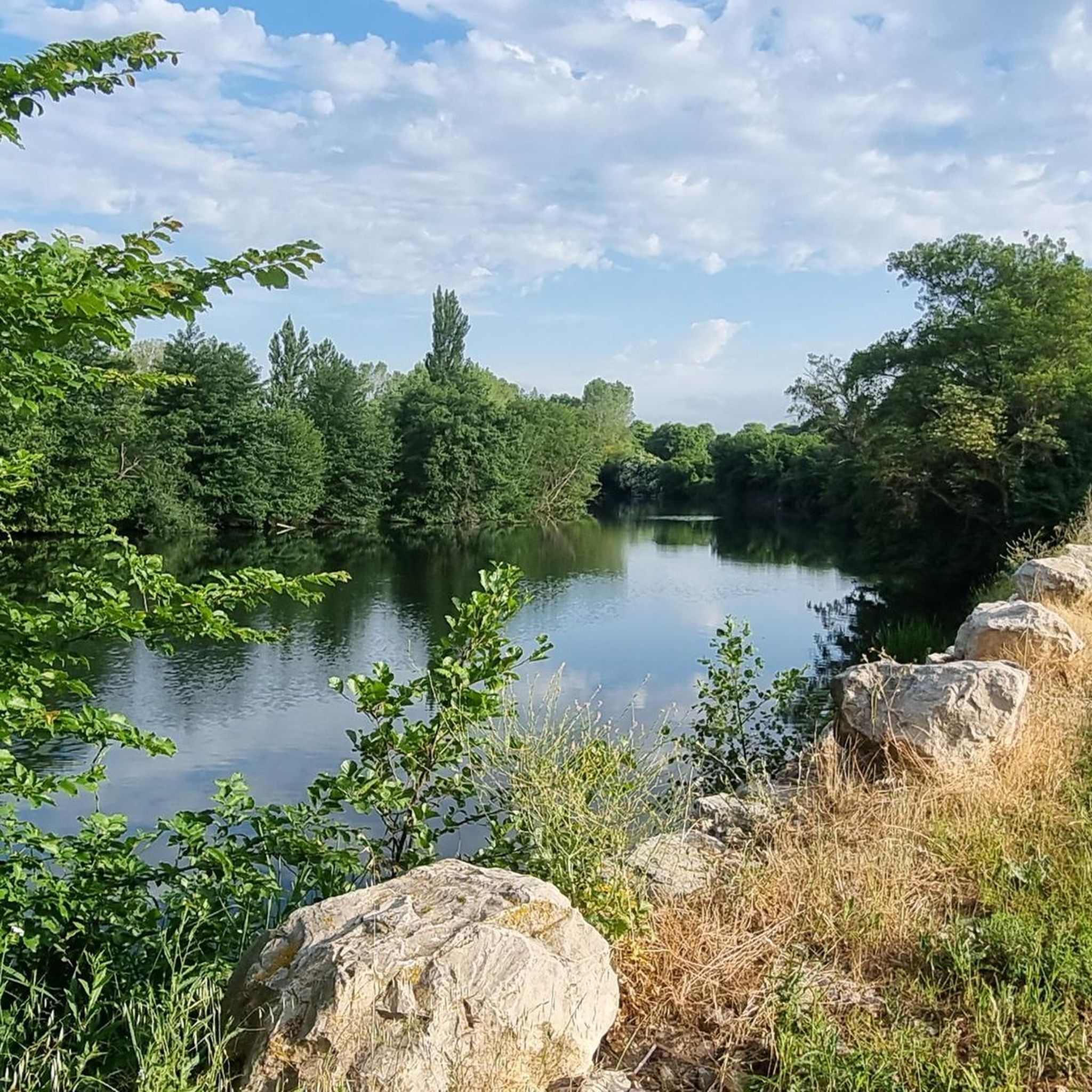
- The most popular mountain peaks is Santa Ana, a summit that offers impressive views from its top. It is known for its challenging ascent, rewarding visitors with a significant visual payoff.
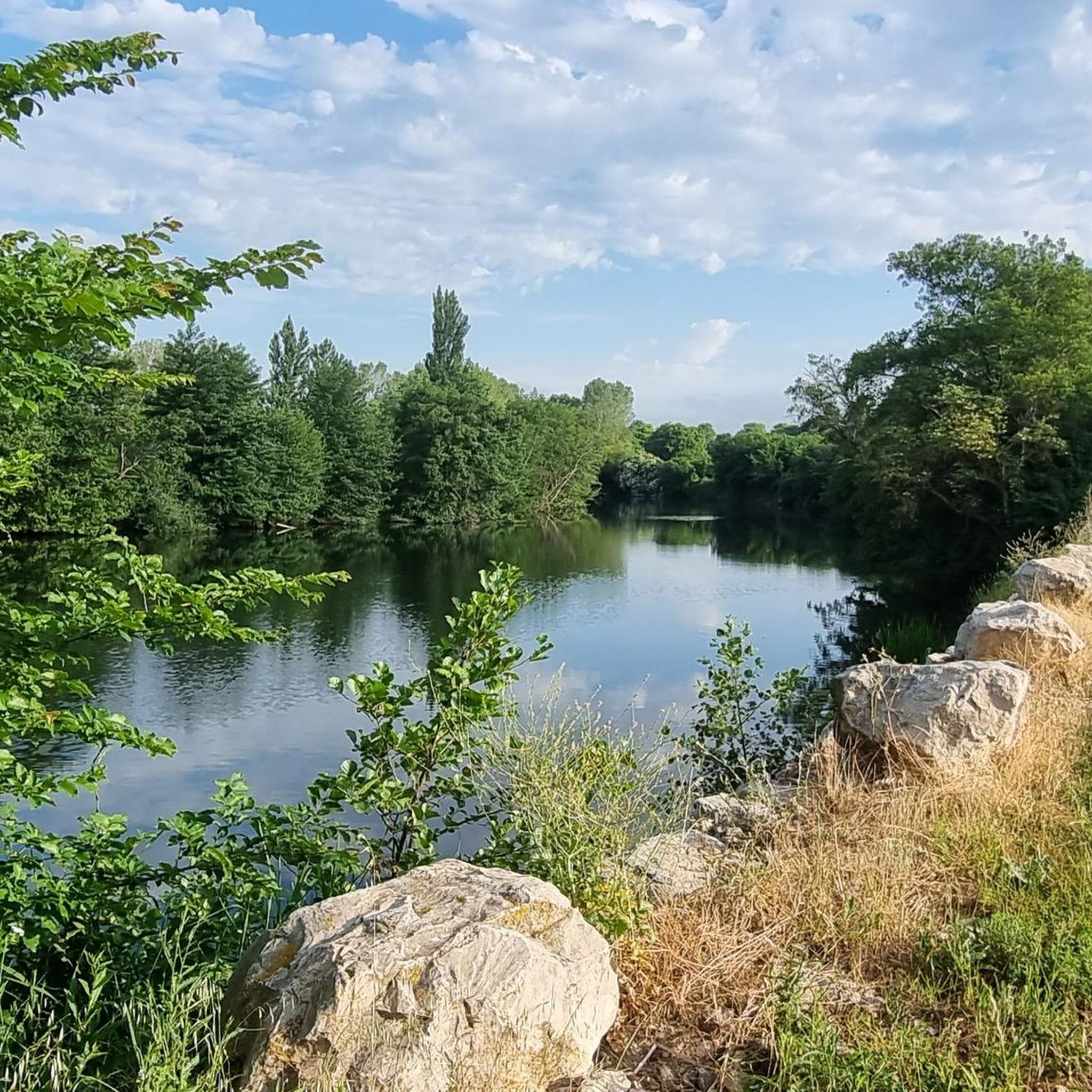
- Another must-see spot is Vallegrull (summit register), a summit featuring a mailbox at its peak. This 1225 m high point is subject to seasonal access restrictions to protect nesting vultures.
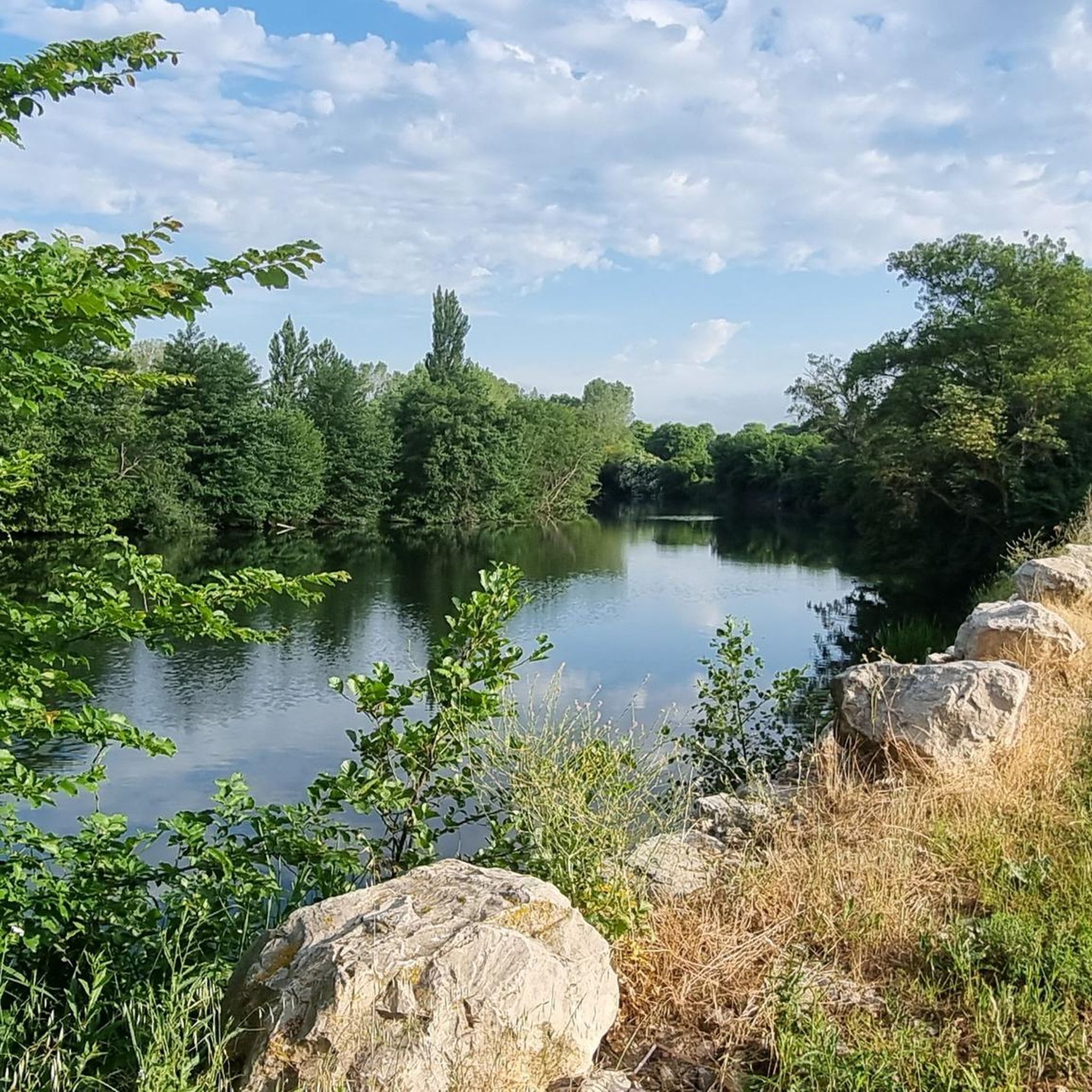
- Visitors also love Alto de las Arrayuelas (1,119 m), a summit located near the Cueto de la Coronilla repeater and the Portillo de la Sierra. It provides extensive views of the surrounding landscape.
- Merindad De Cuesta-Urria is known for summits, viewpoints, and natural monuments. The region offers a variety of mountain peaks to see and explore, ranging from intermediate to challenging climbs.
- The mountain peaks around Merindad De Cuesta-Urria are appreciated by the komoot community, with 12 upvotes and 24 photos shared across various highlights.
Last updated: July 4, 2026
Santa Ana
Highlight • Summit
Translated by Google •
Tip by

Vallegrull (summit register)
Highlight • Summit
Translated by Google •
Tip by
Sign up now to discover places like this
Get recommendations on the best single tracks, peaks, & plenty of other exciting outdoor places.
Sign up for free
Monte Pilas
Highlight • Summit
Translated by Google •
Tip by

Alto de las Arrayuelas (1,119 m)
Highlight • Summit
Translated by Google •
Tip by
Coronilla Summit (1,172 m)
Highlight • Summit
Translated by Google •
Tip by
Sign up for free to discover even more peaks around Merindad De Cuesta-Urria.
Sign up for free
Already have an account?
Start today with a free account
Your next adventure awaits.
Login or Signup
Popular around Merindad De Cuesta-Urria

Tips from the Community


The views from the summit are impressive. It is worth the hard climb to the top.
1
0

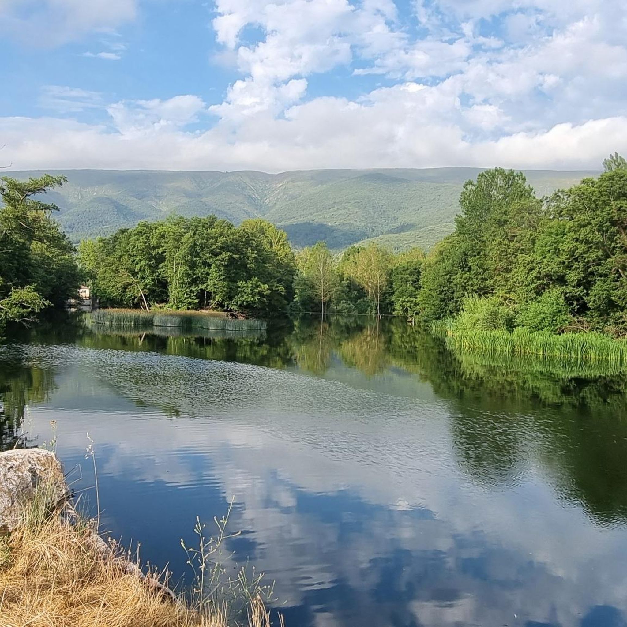
Mountain that exceeds more than one thousand two hundred meters and that offers impressive views of the entire Sierra de Tesla. It is a table-shaped mountain with cliffs on the southern side of its summit and close to other peaks in the area, such as Peña Corba.
0
0

Fabulous views after a long uphill stretch. Worth. It is only 2 meters that you have to climb to get to the mailbox, but it was difficult for me to do it (although I am quite clumsy)
3
0

Very close to the Cueto de la Coronilla repeater, and also near the Portillo de la Sierra. The views, especially if you have a day with low fog like me, are breathtaking.
1
0
Mailbox on the top of a hill that is prohibited from January 1 to August 15, so as not to disturb the nesting of vultures.
1
0
Few more than 1000 meters, but it is difficult to get there. Of course, the visual payoff is huge.
1
0
Frequently Asked Questions
What are the most prominent mountain peaks in Merindad de Cuesta-Urria?
The region, primarily defined by the Sierra de la Tesla, features several notable peaks. Among them are Santa Ana, known for its challenging ascent and impressive views, and Vallegrull (summit register), which stands at 1225 meters. Other significant peaks include Peña Corva, the highest point of the Sierra de la Tesla, and Pico San Mamés, the second highest.
Which peaks offer the most rewarding panoramic views?
For breathtaking panoramic views, Peña Corva, the highest point of the Sierra de la Tesla, is highly recommended. Its rugged ridges culminate in magnificent vistas. Similarly, Santa Ana and Alto de las Arrayuelas (1,119 m) also provide extensive and impressive views of the surrounding landscape, including northern Burgos and various valleys.
Are there challenging hikes for experienced mountaineers in the area?
Yes, Merindad de Cuesta-Urria offers several challenging ascents. The hike to Peña Corva involves extensive and rugged ridges. Santa Ana is also known for its challenging climb, rewarding visitors with a significant visual payoff. The Coronilla Summit (1,172 m) also presents a long uphill stretch.
What unique natural features can be explored around these mountain peaks?
The region is rich in natural features, primarily due to its location at the foot of the Sierra de la Tesla. You can explore diverse topography with steep slopes and intricate geological formations. A notable feature is Los Cárcabos, an impressive gorge with dramatic calcareous crests and geological phenomena like the "Cuchillos" de Panizares. The area is also a Special Protection Area for Birds (ZEPA), making it ideal for observing griffon and Egyptian vultures.
What historical or cultural sites are near the mountain peaks?
Near the mountain peaks, you can find the ruins of Castillo de Urria (or Montealegre), an isolated fortress on the slopes of the Sierra de la Tesla. This castle once controlled a medieval route and offers historical intrigue. Additionally, hiking routes to peaks like La Muñeca and Coronilla can pass near the Cuevas de los Portugueses (Eremitorio del Arroyo de las Torcas-La Horadada), adding a cultural dimension to your outdoor adventure.
What is the best time of year to visit Merindad de Cuesta-Urria for mountain hiking?
The region's diverse topography and designation as a Special Protection Area for Birds mean that seasonal considerations are important. For instance, access to Vallegrull (summit register) is prohibited from January 1 to August 15 to protect nesting vultures. Generally, spring and autumn offer pleasant temperatures for hiking, while summer can be warm. Always check local regulations before planning your trip.
Are there any specific hiking routes that include multiple peaks or points of interest?
Yes, a popular hiking route involves ascending Peña Corva via Baíllo and descending via Quintanalacuesta, passing by the hermitage of Nuestra Señora de la Hoz and Monte Pilas. Another route to La Muñeca and Coronilla can start from Tartales de Cilla and pass near the Cuevas de los Portugueses, combining natural beauty with historical sites.
What outdoor activities can I do near these mountain peaks besides hiking?
Beyond hiking, the area around Merindad de Cuesta-Urria offers various outdoor activities. You can explore numerous cycling routes, including those for touring bicycles, mountain biking, and road cycling. For example, there are routes like the "Vía Verde Santander-Mediterráneo: Circular de Medina de Pomar" for touring, or the "Medina Alpine Marathon BTT" for mountain biking. You can find more details on these activities in the Cycling around Merindad De Cuesta-Urria, MTB Trails around Merindad De Cuesta-Urria, and Road Cycling Routes around Merindad De Cuesta-Urria guides.
What do visitors particularly enjoy about the mountain peaks in Merindad de Cuesta-Urria?
Visitors frequently highlight the impressive and extensive views from the summits, often noting that the challenging climbs are well worth the visual reward. The sense of accomplishment after reaching peaks like Santa Ana or Coronilla Summit (1,172 m) is a common sentiment. The diverse natural landscapes and the opportunity to observe local wildlife, especially vultures, also contribute to a memorable experience.
Are there any specific regulations or access restrictions to be aware of when visiting the peaks?
Yes, due to the region being a Special Protection Area for Birds (ZEPA), certain access restrictions are in place to protect nesting wildlife. For example, access to Vallegrull (summit register) is prohibited from January 1 to August 15. Always check for current local regulations and signage before embarking on your hike to ensure you respect the natural environment.
Which peak is the highest in the Sierra de la Tesla?
Peña Corva, standing at 1,332m or 1,333m, is the highest point of the Sierra de la Tesla, offering extensive and rugged ridges leading to its summit.
What is the elevation of Monte Pilas and what views does it offer?
Monte Pilas exceeds 1,200 meters and provides impressive views of the entire Sierra de la Tesla. It is characterized by its table-shaped summit with cliffs on its southern side and is located close to other peaks like Peña Corba.
Most popular routes around Merindad De Cuesta-Urria
Most popular attractions around Merindad De Cuesta-Urria

Get inspired with the komoot mobile app


Explore more
See even more amazing summits around Merindad De Cuesta-Urria with these guides:
