The 7 Most Amazing Peaks around Carrícola
Best mountain peaks around Carrícola are situated within the Sierra del Benicadell mountain range, which forms a natural border between the provinces of Valencia and Alicante. The area features the prominent Benicadell peak, reaching an altitude of over 1,100 meters. This region offers diverse landscapes, from Mediterranean vegetation to rocky outcrops, providing opportunities for outdoor activities. Elevated positions in the area also offer expansive views of the surrounding valleys and mountain ranges.
Best mountain peaks around Carrícola
- The most popular…
Last updated: July 3, 2026
Montcabrer Summit
Highlight • Summit
Translated by Google •
Tip by

View of Alt de Benicadell
Highlight • Summit
Translated by Google •
Tip by

Sign up now to discover places like this
Get recommendations on the best single tracks, peaks, & plenty of other exciting outdoor places.
Sign up for free
Summit of Pico Teix
Highlight • Summit
Translated by Google •
Tip by

Views of Benicadell
Highlight • Viewpoint
Translated by Google •
Tip by
Beautiful views of Benicadell
Highlight • Summit
Translated by Google •
Tip by

Sign up for free to discover even more peaks around Carrícola.
Sign up for free
Already have an account?
Start today with a free account
Your next adventure awaits.
Login or Signup

Tips from the Community

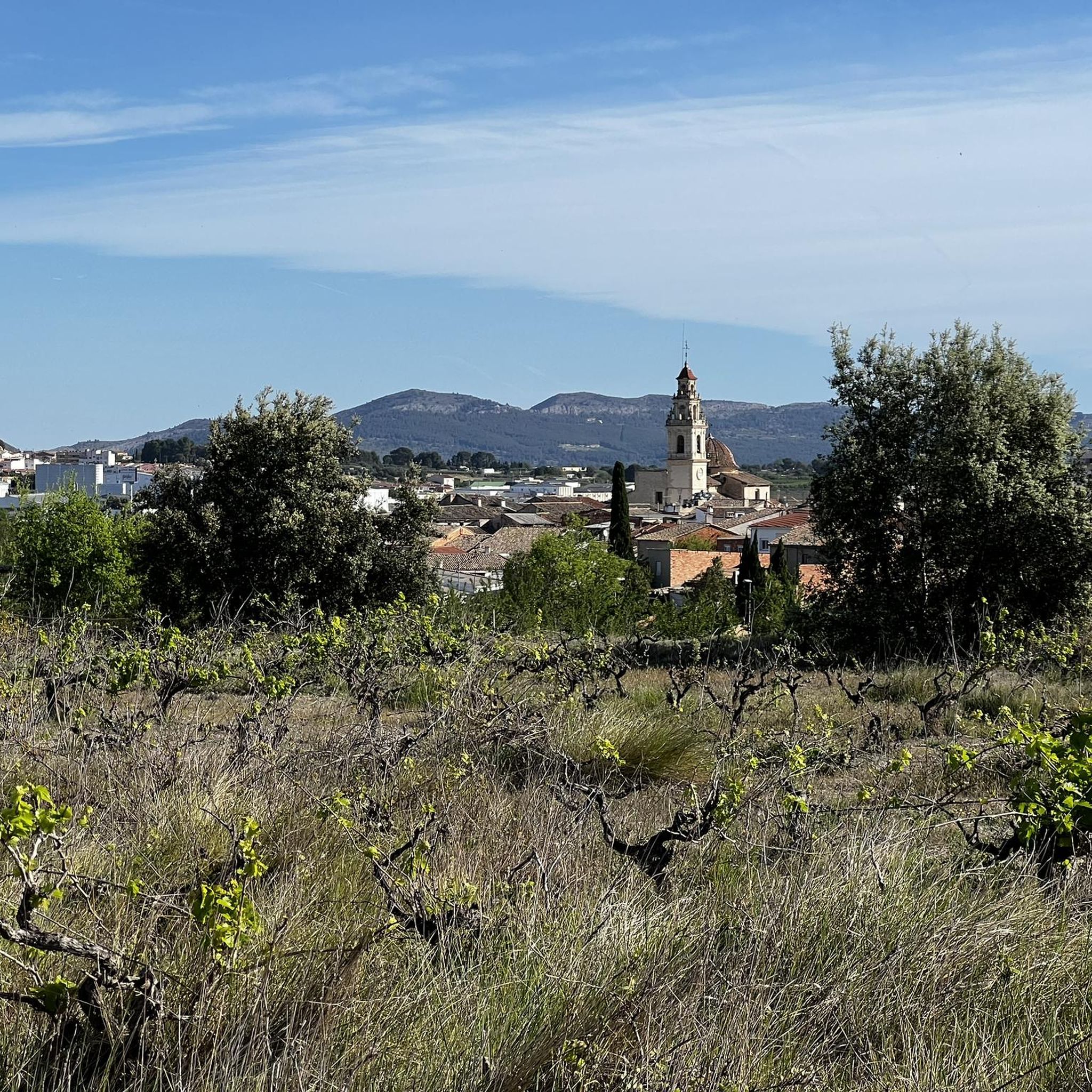
There are several points along this route from which you can admire the impressive silhouette of the Benicadell massif. The Alt de Benicadell, with a height of 1,105 metres, is a prominent peak in the Sierra de Benicadell, which forms a natural border between the provinces of Valencia and Alicante. The region around the Benicadell offers numerous opportunities for cycling tours that lead through varied landscapes with impressive views.
5
0

Place from which you have the most spectacular views of this incredible mountain.
1
0


The Benicadell accompanies the cyclist during the ascent and descent of the mountain pass between Castelló de Rugat and Beniarrés.
2
0
El Benicadell is the highest peak (1,104 m) of the mountain range of the same name. It is a mountainous wall that separates the Valencian regions of the Vall d'Albaida and the County. With a Betic (external Prebetic specifically) direction from north-east to south-west, the characteristic peak of Benicadell has the form of a rocky ridge of calcareous lithology that gives uniqueness to the landscape.
1
0

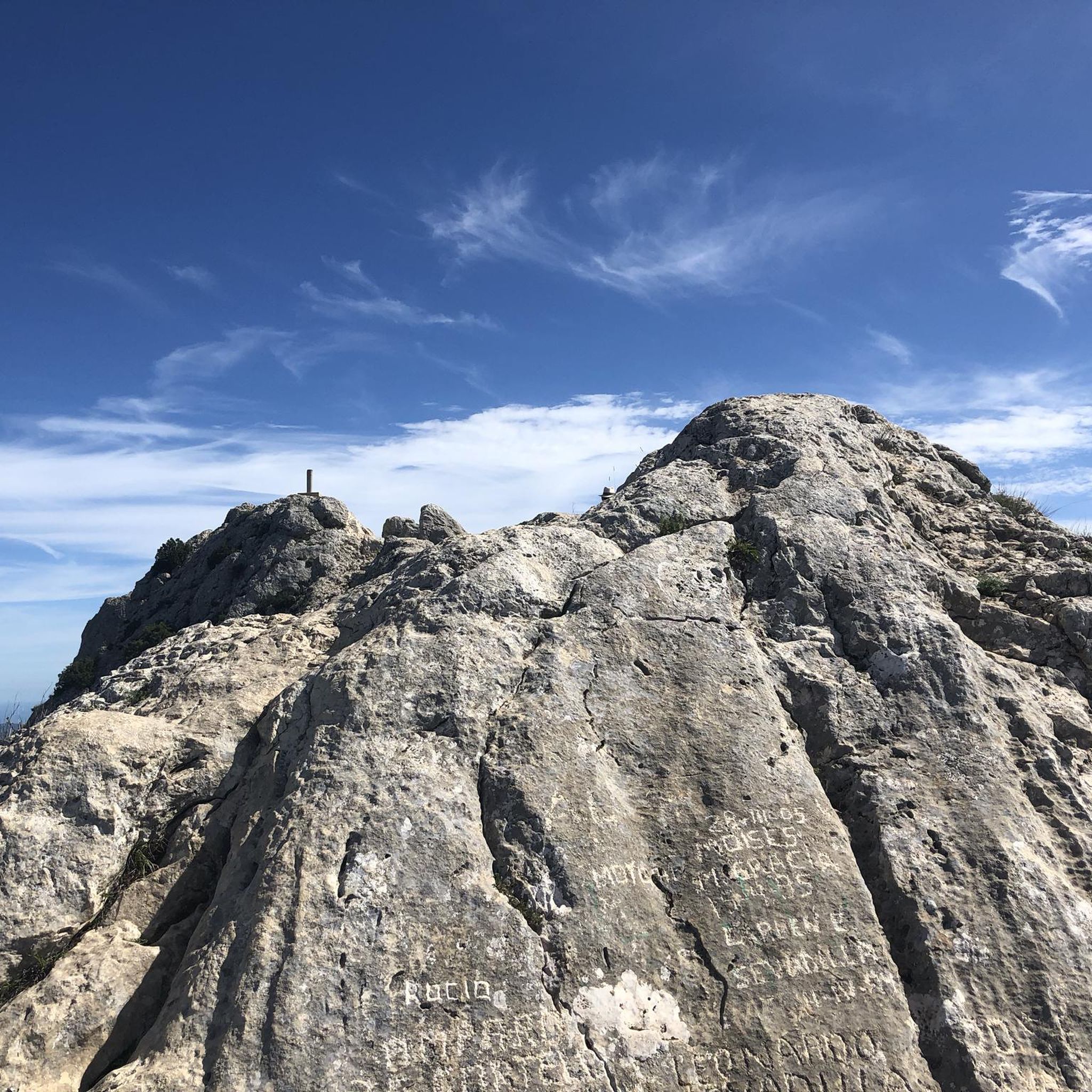
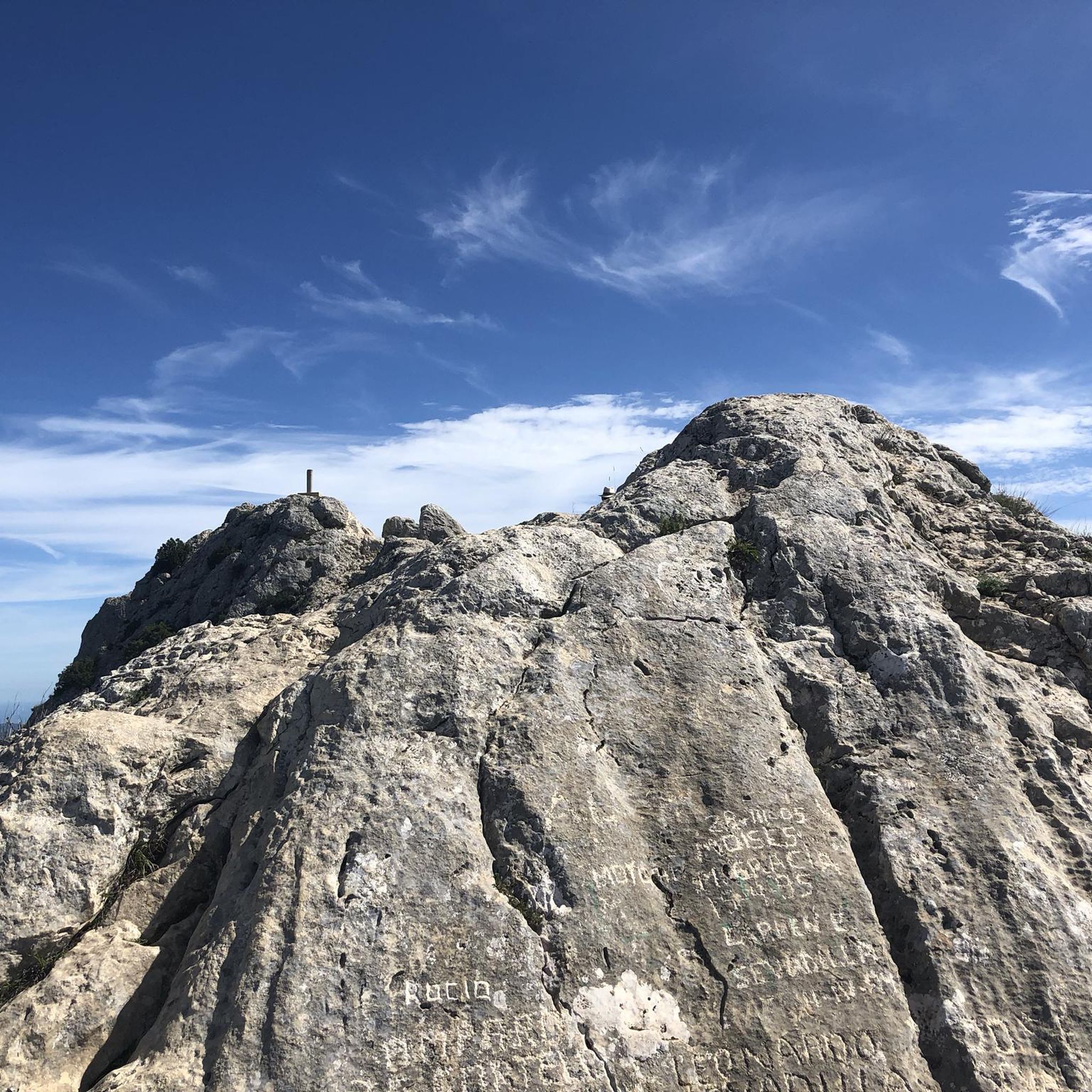
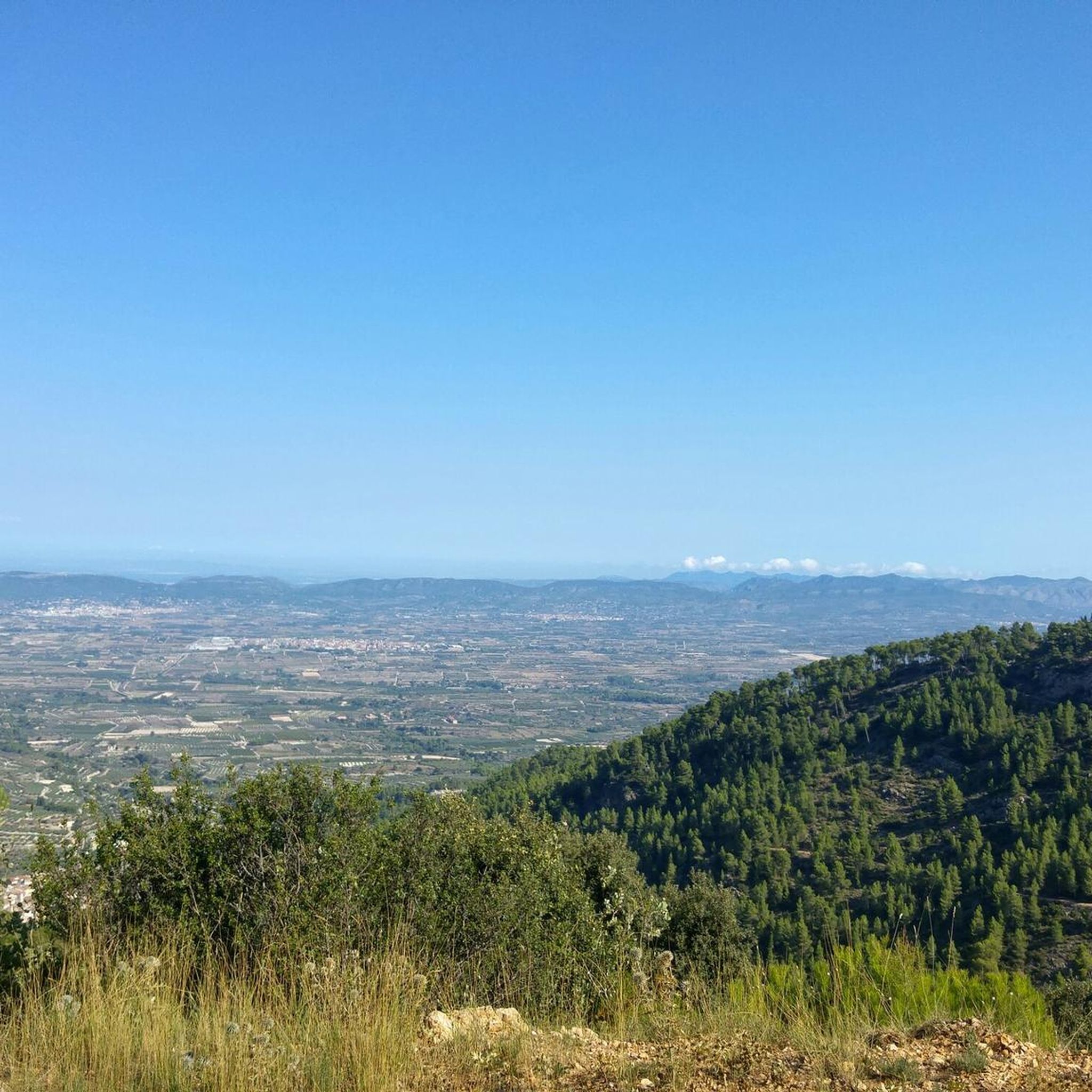
From its 1,390 meters above sea level, the top of Montcabrer is the panoramic point par excellence of the Parc Natural Serra de Mariola. From here you can see other peaks such as Aitana, Puig Campana and in the distance the summit of Montgó and Benicadell. You can reach the top by several alternative paths and trails of varying difficulty, it's all up to you!
2
0
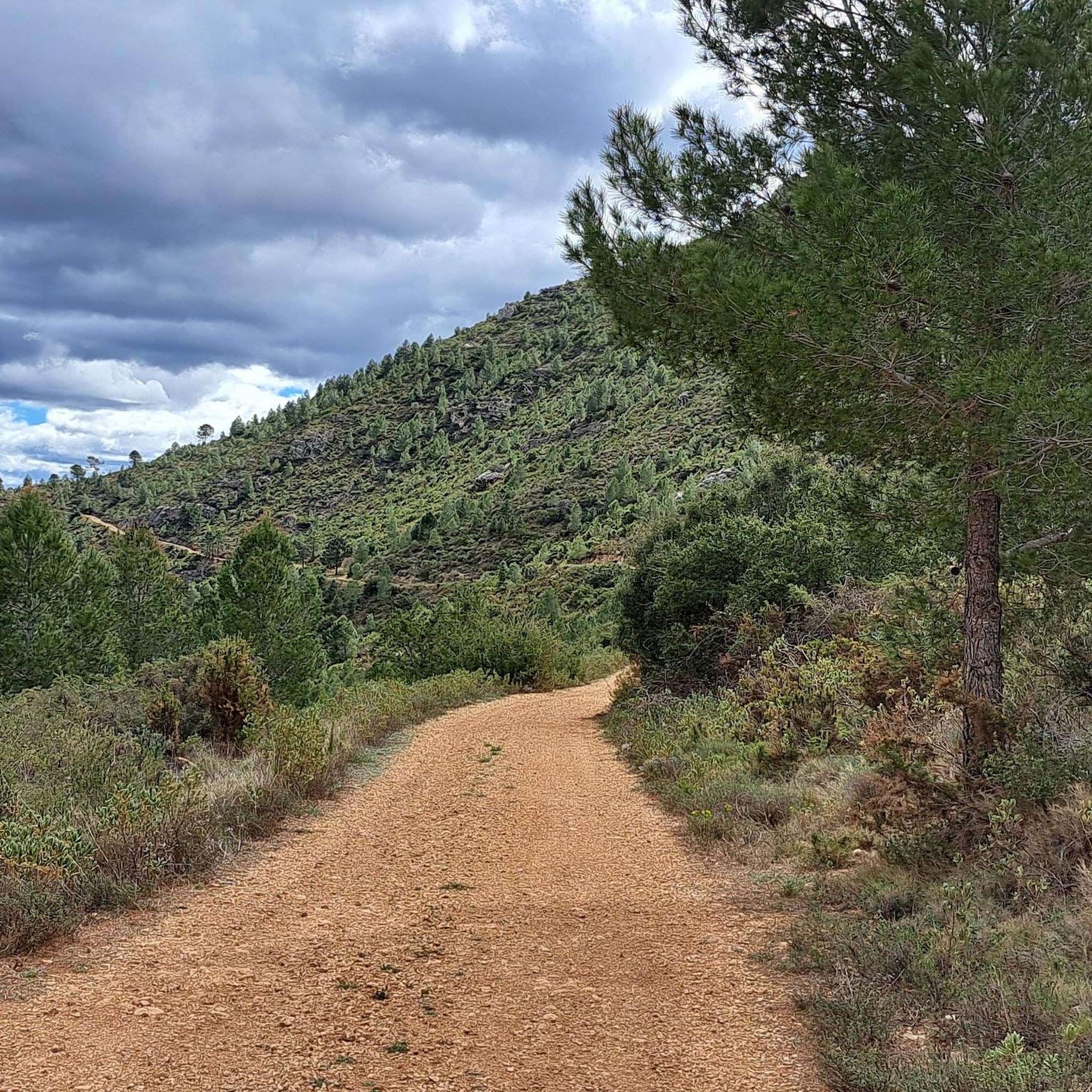
The top of Pico Teix at 1265 meters above sea level offers amazing 360 views! It can be connected to several paths both from Cocentaina and from Agres through the forest path of l'Ombria in excellent condition. It deserves to visit it because the views are incredible!
2
0

In the Sierra de Mariola Natural Park. The road ends at the ruins of Mas de Llopis. From this point, a well-marked path takes us in about 45 minutes to the top of Montcabrer.
6
2
Frequently Asked Questions
What are the most popular mountain peaks to visit around Carrícola?
Among the most popular peaks, you'll find Montcabrer Summit, which offers extraordinary panoramic views from its 1,390 meters above sea level. Another favorite is the Summit of Pico Teix, known for its amazing 360-degree views at 1,265 meters. The View of Alt de Benicadell is also highly appreciated for its impressive silhouette and surrounding landscapes within the Sierra de Benicadell.
Are there family-friendly hiking options in the mountains near Carrícola?
Yes, for families, the area around Carrícola offers routes that blend natural beauty with cultural exploration. While not a towering peak, the path leading up to the historic Carrícola Castle is integrated with the 'Biodivers project,' featuring contemporary sculptures. This makes for an engaging and scenic walk for all ages. You can find an easy route like the 'View of Carrícola Castle – View of Castell de Cocentaina loop from Carrícola' in the Hiking around Carrícola guide.
What kind of natural features can I expect to see when exploring the peaks around Carrícola?
The mountainous areas around Carrícola, particularly within the Sierra del Benicadell, showcase diverse Mediterranean vegetation, cultivated fields, and rocky outcrops. From elevated viewpoints like the Benicadell peak, you can enjoy expansive panoramic views of the Vall d'Albaida, the Comtat, and even the Alicante coastline on clear days. The region is also known for its commitment to ecological sustainability.
What historical or cultural sites are integrated into the mountain trails near Carrícola?
The area around Carrícola offers a unique blend of history and art. The Almohad-origin Castle of Carrícola, dating back to the 10th-12th centuries, is situated on an elevated position with scenic views. Hiking routes to the castle are part of the 'Biodivers project,' an artistic and ecological initiative that integrates contemporary sculptures into the natural landscape, turning the trails into an open-air museum.
What outdoor activities, besides peak bagging, can I do near Carrícola's mountains?
Beyond hiking to the peaks, the region around Carrícola offers a variety of outdoor activities. You can explore numerous hiking trails for different fitness levels, enjoy scenic road cycling routes, or challenge yourself on running trails. The Sierra del Benicadell provides a rich natural space for exploration.
Are there any challenging hikes for experienced mountaineers around Carrícola?
Yes, the ascent to the Benicadell peak itself is considered a challenging yet rewarding experience, historically used as a preparatory climb for more difficult mountains. The Beautiful views of Benicadell highlight describes it as the highest peak (1,104 m) of the mountain range, offering a challenging experience. Routes to the Montcabrer Summit also offer alternative paths of varying difficulty.
What is the best time of year to hike the mountain peaks near Carrícola?
The region generally experiences a Mediterranean climate. Spring and autumn are often ideal for hiking, offering pleasant temperatures and vibrant landscapes. Summer can be hot, especially at midday, so early morning or late afternoon hikes are recommended. Winter can also be suitable, though higher elevations might experience cooler temperatures.
Where can I find the most spectacular views of the Benicadell massif?
For spectacular views of the Benicadell massif, the Views of Benicadell viewpoint is highly recommended. It offers incredible vistas of the mountain and the surrounding reservoir. Additionally, the View of Alt de Benicadell provides excellent perspectives of the impressive Benicadell silhouette.
What do visitors particularly enjoy about the mountain peaks and trails near Carrícola?
Visitors frequently praise the panoramic views from the summits, the diverse landscapes, and the unique blend of nature with art and history. The opportunity to see the Vall d'Albaida, surrounding mountain ranges, and even the Alicante coastline from elevated points is a highlight. The well-marked paths and the integration of the 'Biodivers project' also add to the enjoyment of the trails.
Are there any specific routes that offer a good overview of the Sierra del Benicadell?
Yes, the 'Benicadell – Benicadell Ice House loop from Port d'Albaida' is a moderate 12.7 km hike that provides an excellent overview of the Sierra del Benicadell. This route allows you to experience the diverse landscapes and the prominent features of the mountain range. You can find more details in the Hiking around Carrícola guide.
Is it possible to reach the mountain areas around Carrícola using public transport?
Carrícola is a small municipality. While direct public transport options might be limited, it's generally advisable to check local bus schedules from larger nearby towns like Xàtiva or Gandia, which may have connections to smaller villages in the region. However, for maximum flexibility in exploring the mountain trails and peaks, driving is often the most convenient option.
Do I need any permits to hike the mountain peaks around Carrícola?
Generally, you do not need specific permits for hiking on the public trails and mountain peaks in the Sierra del Benicadell area around Carrícola. However, it's always good practice to respect local regulations, stay on marked paths, and be mindful of private property. For specific natural parks or protected areas, it's wise to check for any updated guidelines, though none are typically required for general hiking in this region.
Most popular routes around Carrícola
Most popular attractions around Carrícola

Get inspired with the komoot mobile app


Explore more
See even more amazing summits around Carrícola with these guides:
