The best road cycling routes around Krummendeich
4.6
(85)
1,163
riders
97
rides
Road cycling around Krummendeich offers routes through a flat Marsch landscape, characterized by its position directly on the Elbe River. The region features extensive dikes and numerous orchards, providing scenic paths for cyclists. Krummendeich is nestled within the Elbe River landscape, a UNESCO Biosphere Reserve, contributing to its diverse natural environment. The terrain is predominantly low-lying and reclaimed from the sea, making it ideal for road cycling.
Best road cycling routes around Krummendeich
- The most popular road cycling route is Oste Barrier – Elbe Dike Cycle Path loop from Freiburg (Elbe), a 27.3 miles (43.9 km) trail that takes 1 hour 53 minutes to complete. This easy route follows the Elbe Dike, offering views of the river.
- Another top favourite among local road cyclists is St. George's Church Oberndorf – Elbe Dike Cycle Path loop from Freiburg (Elbe), an easy 31.9 miles (51.3 km) path. This route traverses the flat countryside, passing by St. George's Church and along the Elbe Dike.
- Local road cyclists also love the Kasenort Inland Lock – Kasenort Lock loop from Sankt Margarethen, a 21.0 miles (33.8 km) trail leading through the low-lying Marsch landscape, often completed in about 1 hour 27 minutes.
- Road cycling around Krummendeich is defined by the Elbe River, scenic dikes, and expansive orchards. The network offers options for both easy and moderate ability levels.
- The routes in Krummendeich are highly rated by the komoot community with an average score of 4.7 stars from over 70 reviews. More than 1,100 road cyclists have used komoot to explore Krummendeich's varied terrain.
Last updated: July 10, 2026
5.0
(2)
17
riders
44.0km
01:53
30m
30m
Easy road ride. Great for any fitness level. Mostly well-paved surfaces and easy to ride.
8
riders
Easy road ride. Great for any fitness level. Mostly well-paved surfaces and easy to ride.

Sign up for free
5.0
(1)
6
riders
33.8km
01:28
30m
30m
Moderate road ride. Great for any fitness level. Some segments of this route may be unpaved and difficult to ride.
6
riders
Easy road ride. Great for any fitness level. Mostly well-paved surfaces and easy to ride.
6
riders
42.4km
01:47
50m
50m
Moderate road ride. Great for any fitness level. Some segments of this route may be unpaved and difficult to ride.
Get access to more routes and recommendations from other explorers.
Sign up for free
Already have an account?
Our route recommendations are based on thousands of hikes, rides, and runs completed by other people on komoot.
Start today with a free account
Your next adventure awaits.
Login or Signup
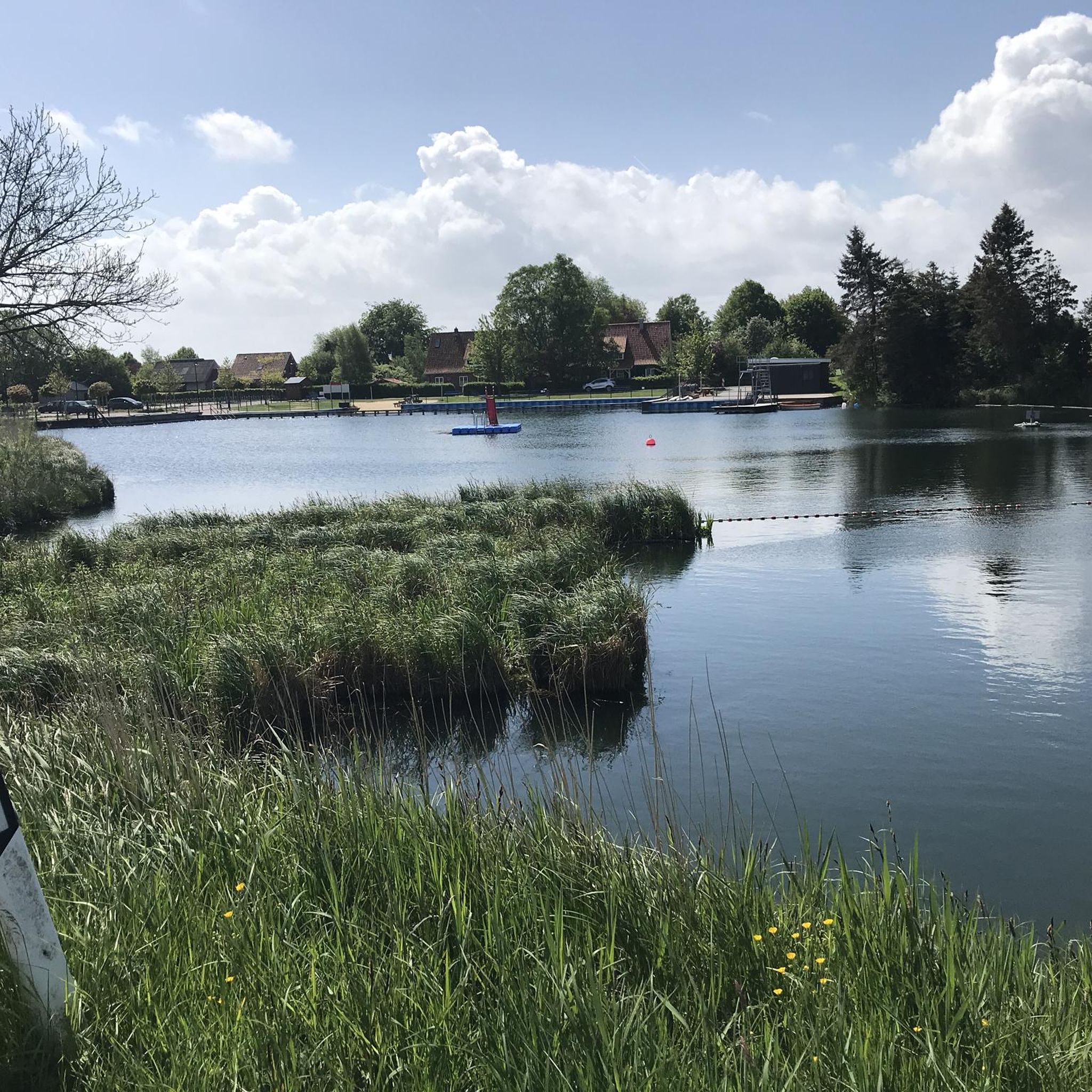
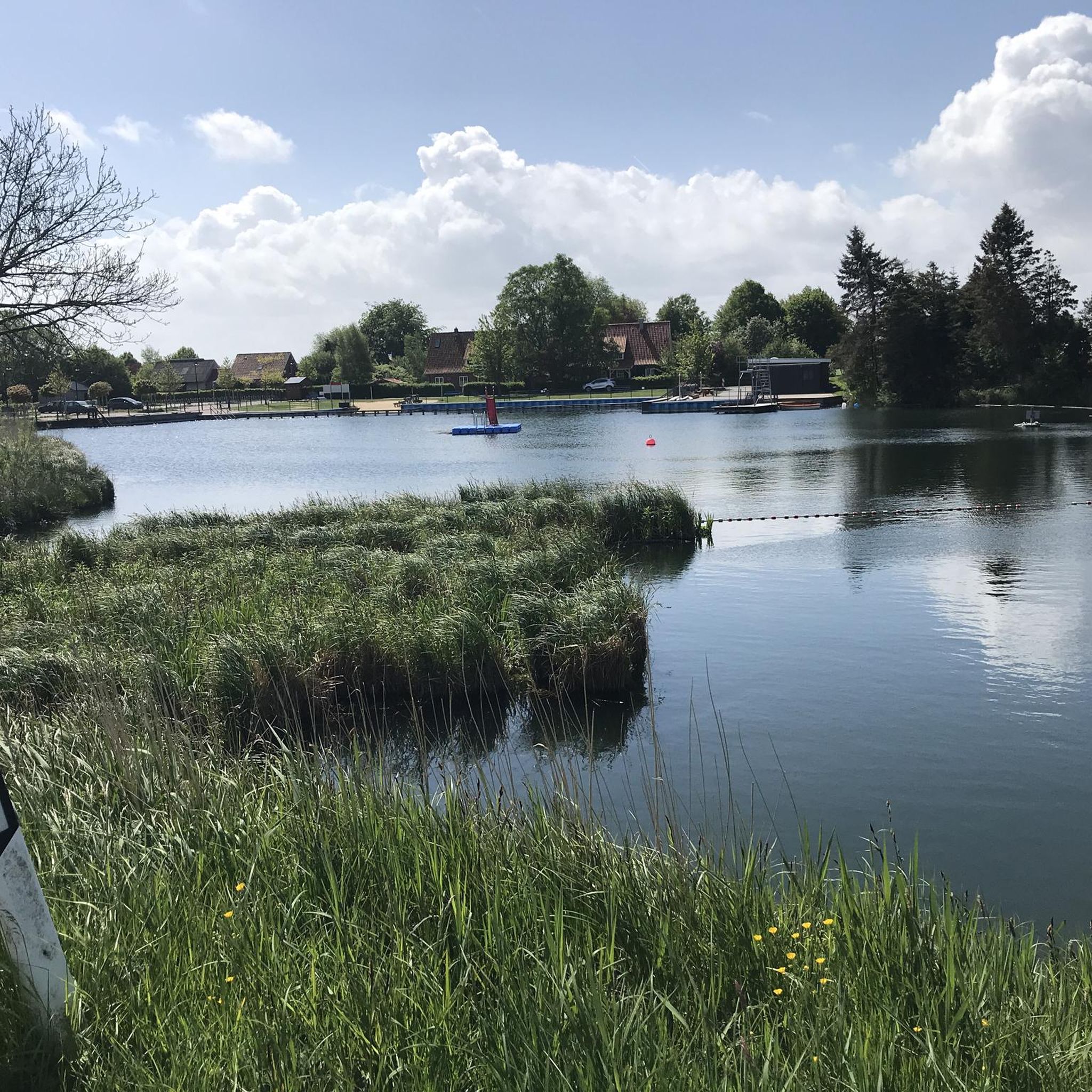
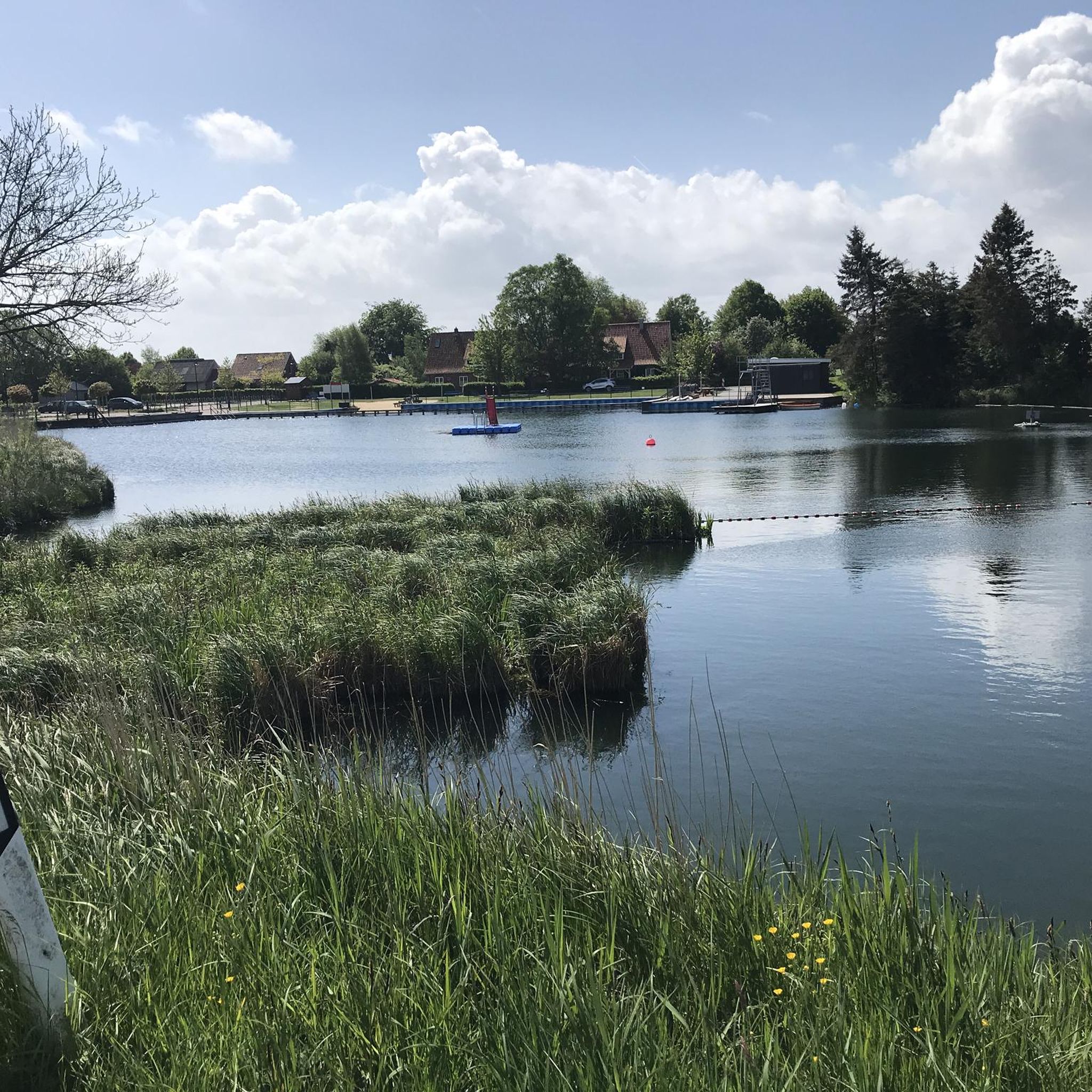
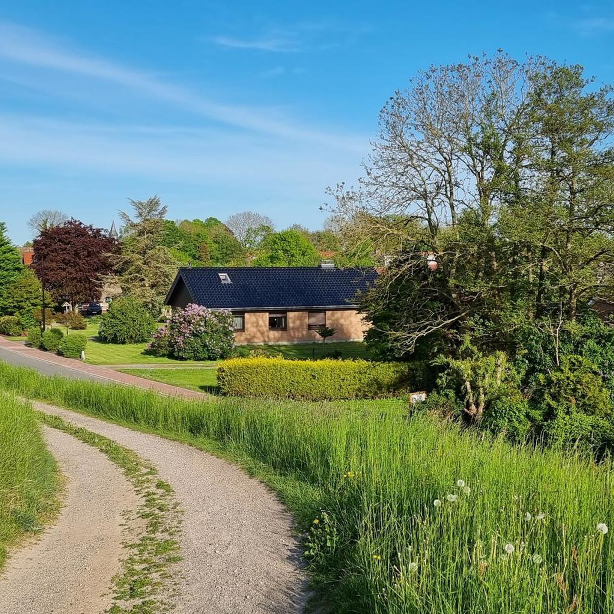
Tips from the Community

A great bascule bridge with a great view of the Oste. A super bike and hiking trail runs along here amidst beautiful nature 💚.
7
0
The Evangelical Lutheran St. Wulphardi Church, a listed historical monument, stands in Freiburg im Elbe. It is located in the Stade district of Lower Saxony. The parishioners of Freiburg belong to the Stade church district, which is part of the Stade region of the Evangelical Lutheran State Church of Hanover. https://www.kirchenkreis-stade.de/
6
0
A fantastic cycling and hiking trail runs along here, amidst beautiful scenery. We hiked along this route in February, surrounded by stunning nature, and it was wonderful. Highly recommended.
1
0
The Freiburg harbor channel is an approximately 2 km long, unclassified federal waterway in the district of Stade in Lower Saxony. It serves as an access route from the Lower Elbe to the Freiburg harbor and is under the jurisdiction of the Elbe-North Sea Waterways and Shipping Authority. It is classified as an inland waterway subject to the Maritime Shipping Regulations.
5
0
A fantastic cycling and hiking trail runs along here, surrounded by beautiful nature 💚. There's a charming little harbor with old half-timbered houses. Restaurants are located near the harbor.
2
0
A visit is highly recommended and interesting, as well as a beautiful hike.
1
0
A great cycling route and a hiking trail lead along here amidst beautiful nature 💚.
1
0

The Old Port in Freiburg an der Elbe was built in the 19th century as a transshipment point for regional trade along the Elbe River. Historic warehouses and quays testify to the port's economic importance. Today, the port serves as a reminder of the city's maritime past and its connection to the river.
1
0
Frequently Asked Questions
How many road cycling routes are available around Krummendeich?
There are nearly 100 road cycling routes available around Krummendeich. These routes cater to various skill levels, with 40 classified as easy and 57 as moderate, ensuring options for both beginners and more experienced cyclists.
What is the typical terrain like for road cycling in the Krummendeich region?
The Krummendeich region is characterized by its flat Marsch landscape, which is low-lying land reclaimed from the sea. Cyclists can expect routes along extensive dikes offering views of the Elbe River, and paths winding through numerous orchards. The minimal elevation changes make it ideal for smooth road cycling.
Are there any easy road cycling routes suitable for beginners or families in Krummendeich?
Yes, Krummendeich offers many easy road cycling routes perfect for beginners and families. For instance, the Oste Barrier – Elbe Dike Cycle Path loop from Freiburg (Elbe) is an easy 27.3-mile route that follows the Elbe Dike, providing scenic river views with minimal effort. Another great option is the Elbe Dike Cycle Path – Gut Hörne Café · Bistro · Shop loop from Krummendeich, Wechtern 37, an easy 18.1-mile loop.
What kind of scenic views and landmarks can I expect to see while road cycling in Krummendeich?
Road cycling in Krummendeich offers picturesque views of the Elbe River, expansive dikes, and charming orchards, especially vibrant during spring blossoms. You can also encounter historic sites and engineering marvels. Notable attractions include the Elbe Ferry Glückstadt–Wischhafen, the High bridge Brunsbüttel, and the St. Wulphardi Church, Freiburg (Elbe). Many routes also pass by traditional thatched houses and local farm cafes.
Are there any long-distance road cycling options or routes that are part of larger networks?
Yes, Krummendeich is situated along the renowned Elbe Cycle Path, which offers hundreds of kilometers of well-signposted routes. This allows for longer rides and connections to other regions. Beyond the main Elbe Cycle Path, the area features a network of small roads and paths perfect for extended exploration.
What is the best time of year for road cycling around Krummendeich?
The best seasons for road cycling in Krummendeich are spring and summer, when nature is in full bloom, and the mild northern German weather is ideal for outdoor activities. Spring offers the added beauty of blossoming orchards. Autumn also provides a unique charm with golden foliage and pleasant temperatures for cycling.
Are there any circular road cycling routes available in Krummendeich?
Many of the road cycling routes around Krummendeich are designed as loops, allowing you to start and end at the same point. An example is the Kasenort Inland Lock – Kasenort Lock loop from Sankt Margarethen, a moderate 21.0-mile trail through the Marsch landscape.
What do other road cyclists enjoy most about the routes in Krummendeich?
The road cycling routes in Krummendeich are highly rated by the komoot community, with an average score of 4.7 stars from over 70 reviews. Cyclists often praise the flat, scenic terrain along the Elbe River and dikes, the peaceful atmosphere, and the well-maintained paths that make for enjoyable rides through the unique Marsch landscape and orchards.
Are there places to stop for refreshments or cafes along the road cycling routes?
Yes, the region around Krummendeich offers opportunities to stop for refreshments. Many routes pass by traditional farm cafes, especially along the dikes and through picturesque villages. For example, the Old Town Hall – Café at the Lock loop from Sankt Margarethen suggests a route that includes a cafe stop.
How accessible is Krummendeich for road cyclists using public transport?
Krummendeich and its surrounding villages are generally accessible, and while specific public transport links directly to trailheads might vary, the region is part of a well-developed infrastructure for cyclists. Cyclists often use regional train services to nearby towns and then cycle to Krummendeich, or utilize local bus services that may accommodate bikes.
Are there any specific natural features or protected areas that road cyclists should be aware of?
Krummendeich is nestled within the Elbe River landscape, which is recognized as a UNESCO Biosphere Reserve. This designation highlights the area's diverse natural environment, including its unique Marsch landscape, dikes, and riverine ecosystems. Cyclists should respect local regulations to preserve this protected natural heritage.
Most popular attractions around Krummendeich

Get inspired with the komoot mobile app


Explore more
Browse the best Road cycling routes in other regions.
