The 4 Most Amazing Peaks around Castelnuovo Di Val Di Cecina
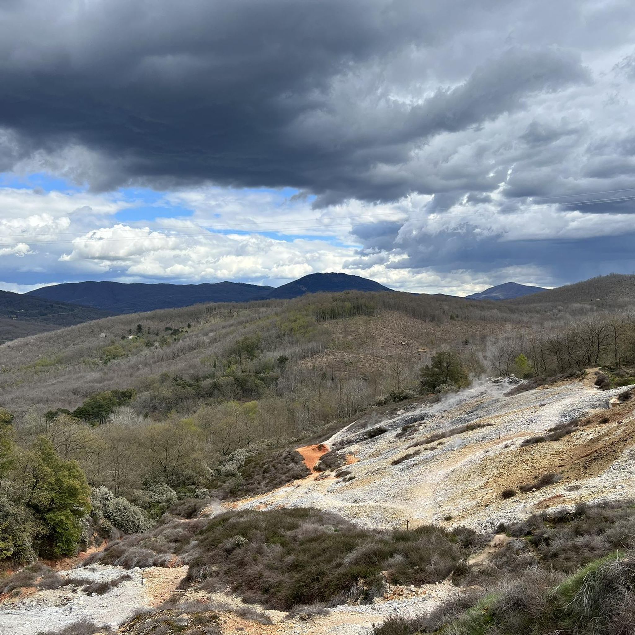
Best mountain peaks around Castelnuovo Di Val Di Cecina are characterized by rolling hills, elevated viewpoints, and unique geothermal landscapes rather than traditional towering peaks. Situated in Tuscany's Colline Metallifere, the region offers significant high points with expansive vistas. The area combines medieval hilltop villages, rich forests, and remarkable geothermal activity, providing diverse elevated experiences. These features make it a distinctive destination for exploring natural and historical high points.
Best mountain peaks around Castelnuovo Di Val Di Cecina
- The most…
Last updated: July 13, 2026
Trail to the Le Cornate summit
Highlight • Trail
Absolute peace. Surefootedness required.
Translated by Google •
Tip by

Poggio Croce di Prata
Highlight • Summit
Showing Translation
Tip by

Sign up now to discover places like this
Get recommendations on the best single tracks, peaks, & plenty of other exciting outdoor places.
Sign up for free
Poggio di Montieri Summit and La Faggeta Trail
Highlight • Summit
Translated by Google •
Tip by

Start today with a free account
Your next adventure awaits.
Login or Signup
Popular around Castelnuovo Di Val Di Cecina
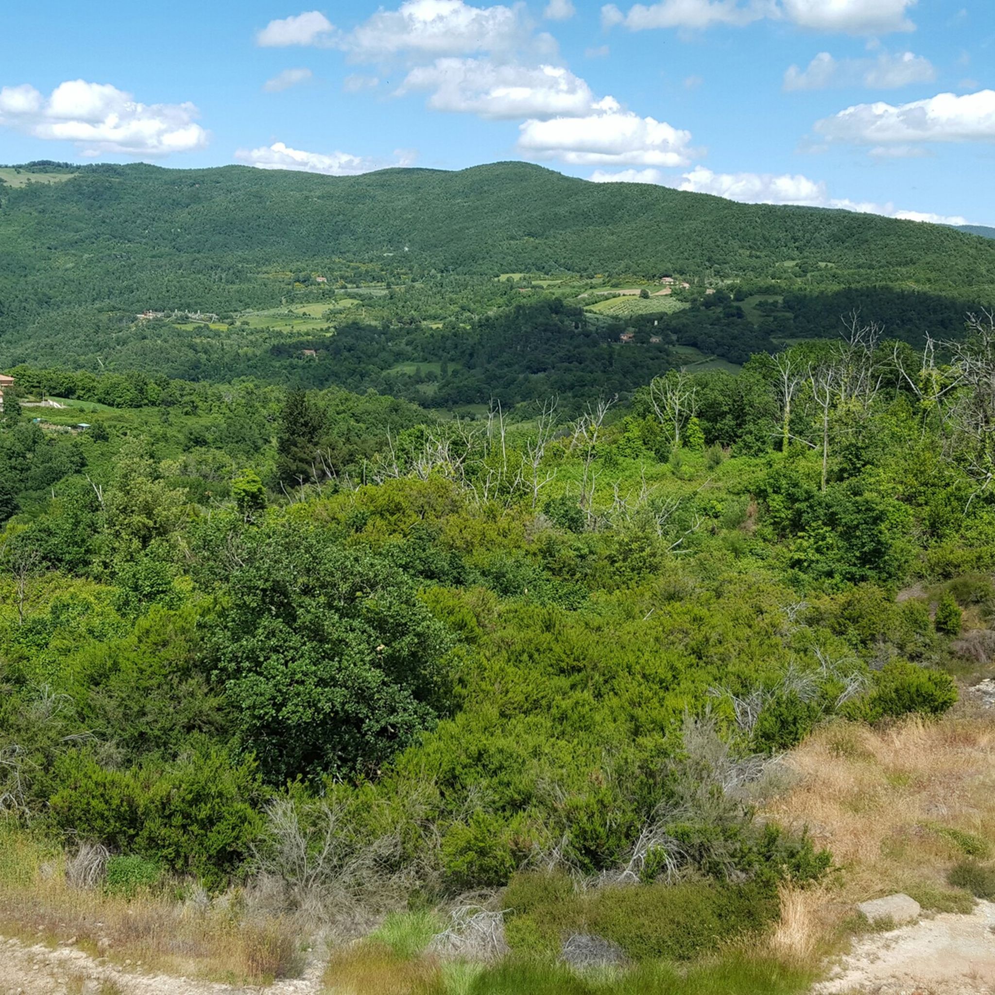
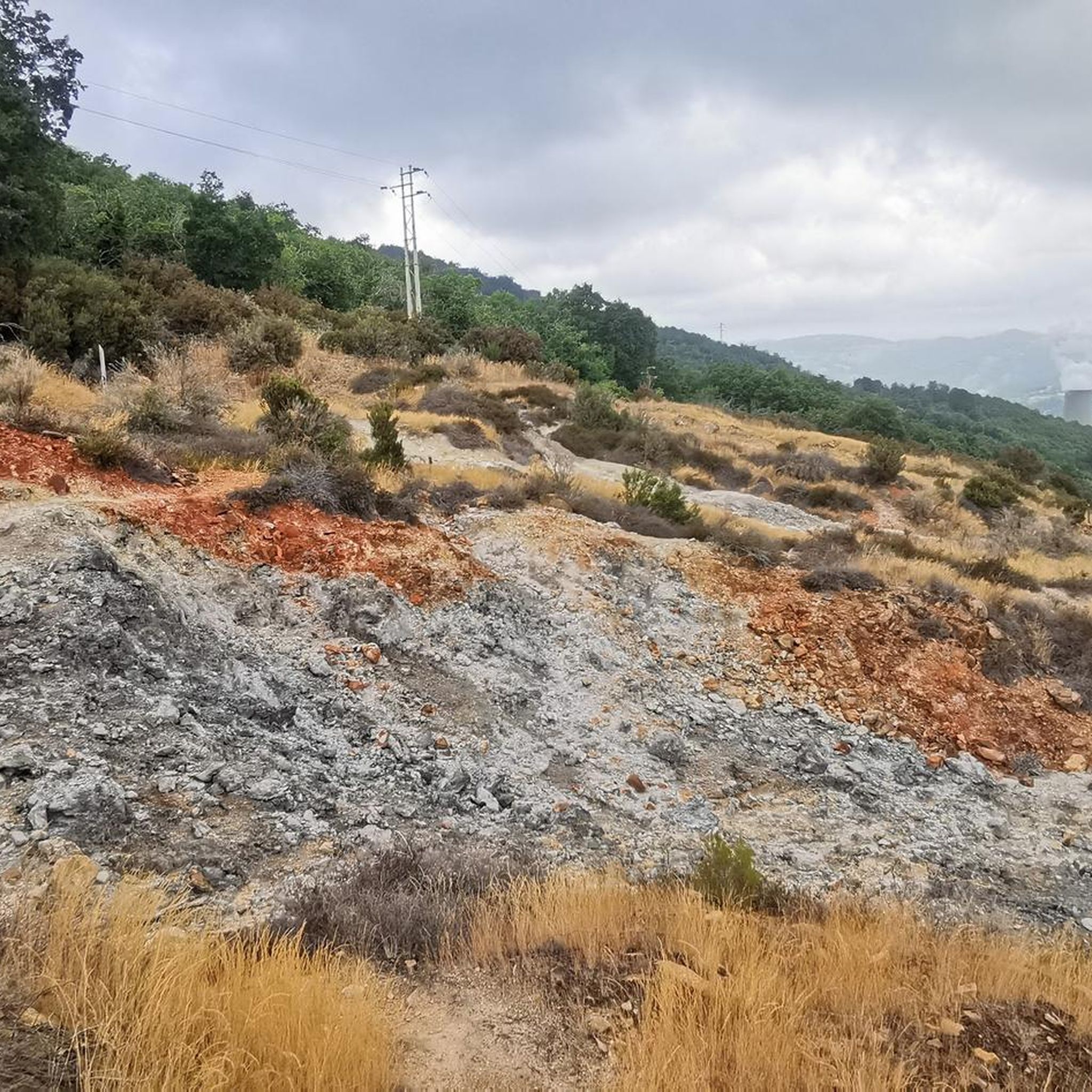
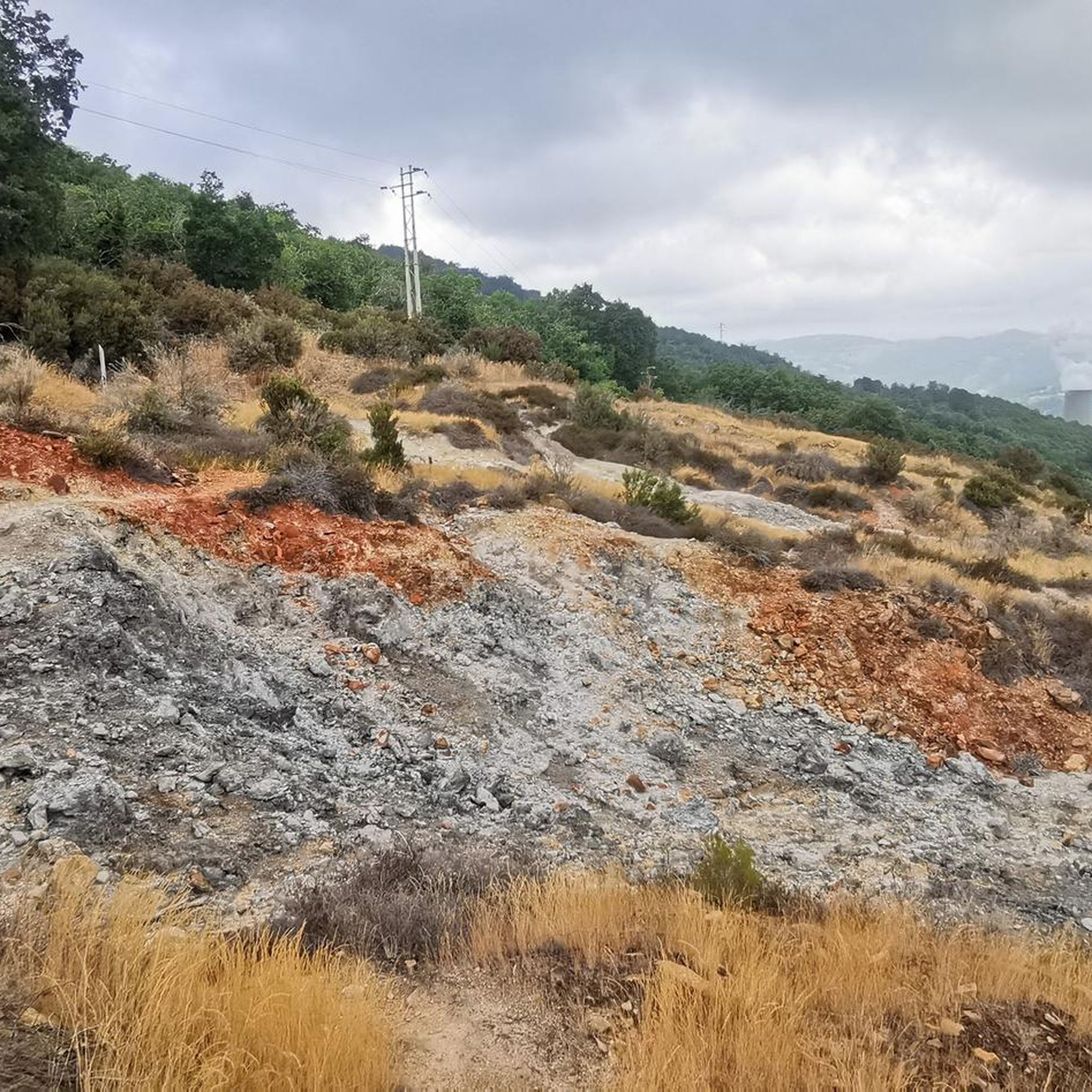
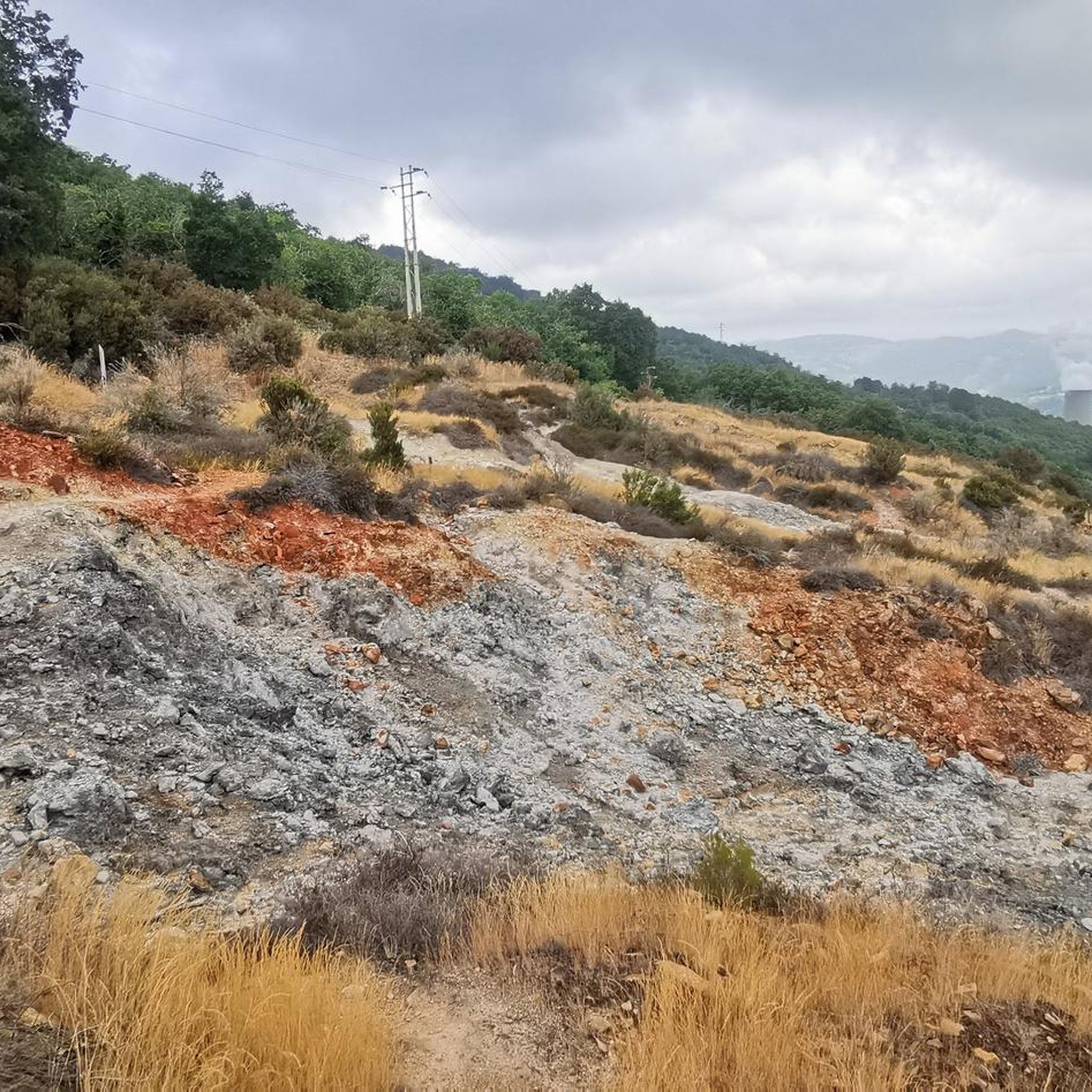

Tips from the Community

Itinerary for an excursion to the summit of Poggio di Montieri and the La Faggeta trail, a classic and evocative journey through a hilly landscape, located at an altitude of 1,051 metres. The excursion has a moderate difficulty level and is accessible to anyone with a minimum of mountain hiking experience. Total length: approximately 6.5 - 6.8 km. Positive elevation gain: approximately 370 - 400 metres. Walking time: between 2 and 3 hours. Starting point: the public car park located in the village of Montieri (GR)
0
0
Le Cornate di Gerfalco (1060-1081 m a.s.l.) represent the highest peak of the Metalliferous Hills in Tuscany, located between the provinces of Grosseto and Siena. They are part of the Cornate and Fosini Nature Reserve and offer a panorama that ranges from the Tuscan Archipelago to Corsica and the Apennines.
0
0
I Poggi di Prata are wide, rounded reliefs of limestone, with grassy summits and slopes largely covered by oak and chestnut woods. They take their name from the village of Prata, which stands on an elongated hill on the southeastern slopes of the hills themselves. There are two main peaks: Il Poggione, which is the highest and most prominent summit, and Poggio Croce di Prata, overlooking the village of the same name.
0
0

If you intend to reach the highest point in the area then you will have to go here, the effort will be rewarded with a wonderful view.
1
0

Great view, picturesque village at the beginning and end to see. Absolute peace. Surefootedness required.
2
0
Frequently Asked Questions
What are the most prominent elevated points or "peaks" near Castelnuovo di Val di Cecina?
While the region is characterized by rolling hills, the most prominent elevated point is Mount Cornate (Monte Cornate), reaching 1,060 meters (3,478 feet). Other significant elevated areas include the hilltop town of Castelnuovo di Val di Cecina itself, offering panoramic views, and Montecastelli Pisano, another charming medieval village with scenic outlooks.
Which elevated points offer the best panoramic views in the area?
For expansive views, the summit of Trail to the Le Cornate summit provides breathtaking vistas of the surrounding valleys, potentially stretching to the Tuscan Archipelago and Corsica on clear days. The town of Castelnuovo di Val di Cecina also boasts several panoramic spots with views over the Val di Cornia, the Gulf of Piombino, and the Island of Elba. Additionally, Poggio di Montieri Summit is noted for its wonderful views.
Are there specific hiking trails to reach these elevated points?
Yes, there are several trails. You can find a dedicated Trail to the Le Cornate summit. For those seeking a challenge, the Monte Arsenti Trailhead offers super rocky and technical trails. The area around Sasso Pisano also features trekking routes to experience its unique geothermal manifestations. For more running-specific trails, you can explore options like "The Smoking Lands between Sasso Pisano and Monterotondo Trail" in the Running Trails around Castelnuovo Di Val Di Cecina guide.
What unique natural phenomena can I experience near Castelnuovo di Val di Cecina?
The area around Sasso Pisano is famous for its remarkable geothermal activity. You can explore the "Parco delle Fumarole," a surreal landscape featuring small geysers, fumaroles (gaseous emissions), putizze (cold gas fumes), and hot springs. This barren and wild scenery, with steam jets and rocks of unusual colors, offers a truly unique natural experience.
Is the area around Castelnuovo di Val di Cecina suitable for family hikes?
Yes, the region offers a variety of trails, many of which are suitable for families. The slopes of Mount Cornate, for instance, are ideal for walks with a mild climate. While some trails can be challenging, there are also easier options. When planning, look for routes described as 'moderate' or 'easy' in difficulty. The geothermal park also has accessible trekking routes.
Can I bring my dog on trails around these peaks?
Many outdoor trails in the Castelnuovo di Val di Cecina region are dog-friendly, especially those through forests and open hillsides. However, it's always advisable to keep your dog on a leash, especially in nature reserves like the Cornate and Fosini Nature Reserve, and to check local regulations for specific areas or parks before you go.
What is the best time of year to visit Castelnuovo di Val di Cecina for hiking?
The spring and autumn months are generally ideal for hiking in this region, offering pleasant temperatures and lush or colorful landscapes. Even during summer, the higher elevations like Mount Cornate provide a milder climate compared to the valleys. Winter hiking is possible, but conditions may vary, especially at higher altitudes, so check forecasts and trail conditions beforehand.
Are there historical or cultural sites to explore near the elevated areas?
Absolutely. The medieval village of Castelnuovo di Val di Cecina itself is a historic gem with untouched urban structures. Near Sasso Pisano, you can find the remains of Etruscan thermal baths. Montecastelli Pisano features the Pannocchieschi Tower, the Romanesque church of Saint Filippo and Giacomo, and an Etruscan hypogeum (Buca delle Fate) dating back to the 6th century BCE, along with a Museum of Rural Life.
What other outdoor activities are available near Castelnuovo di Val di Cecina's peaks?
Beyond hiking, the region is excellent for cycling. You can find various routes for different cycling styles, including traffic-free options. Explore guides like Traffic-free bike rides around Castelnuovo Di Val Di Cecina for racebike routes or Traffic-free bike rides around Castelnuovo Di Val Di Cecina for touring bicycle options. Mountain biking is also popular, with challenging trails accessible from the Monte Arsenti Trailhead.
What do visitors particularly enjoy about the elevated areas of Castelnuovo di Val di Cecina?
Visitors frequently praise the absolute peace and tranquility found on trails, the stunning panoramic views from summits like Le Cornate and Poggio di Montieri, and the unique experience of the geothermal landscapes. The historic charm of the hilltop villages and the immersion in dense forests are also highly appreciated.
How challenging are the trails to the summits around Castelnuovo di Val di Cecina?
Trail difficulties vary. The Trail to the Le Cornate summit requires surefootedness. The trails from Monte Arsenti Trailhead are described as super rocky and technical, with even 'blue' lines potentially containing steep sections or large steps, recommending full-suspension bikes and appropriate tires for mountain biking. However, more moderate and easy options are also available throughout the region.
Are there any circular hiking routes available?
Yes, the region offers several circular routes. For example, the Running Trails around Castelnuovo Di Val Di Cecina guide includes options like the "Montecastelli Pisano loop from Cerbaiola" and "Radicondoli Historic Village loop from Radicondoli." These provide opportunities to explore the landscape and return to your starting point.
Most popular routes around Castelnuovo Di Val Di Cecina
Most popular attractions around Castelnuovo Di Val Di Cecina

Get inspired with the komoot mobile app


Explore more
See even more amazing summits around Castelnuovo Di Val Di Cecina with these guides:
