The 5 Most Amazing Peaks around Sinnariolo/Sennariolo
Best mountain peaks around Sinnariolo/Sennariolo are found on the western slopes of the Montiferru mountain range in Sardinia, Italy. This region is characterized by its volcanic origins and offers a blend of natural and archaeological heritage. Visitors can explore diverse landscapes and ancient cultural sites. The area provides various hiking opportunities for those seeking elevation and expansive views.
Best mountain peaks around Sinnariolo/Sennariolo
- The most popular mountain peaks is Monte Agudu (Sa Rocca de Tiu Antoni Gana), a summit…
Last updated: June 30, 2026
Monte Pertusu
Highlight • Summit
Translated by Google •
Tip by

IGM Trigonometric Point On Mullone
Highlight • Summit
At the top of this point, you can see (already from the repeaters …
Translated by Google •
Tip by

Sign up now to discover places like this
Get recommendations on the best single tracks, peaks, & plenty of other exciting outdoor places.
Sign up for free
Monte Agudu (Sa Rocca de Tiu Antoni Gana)
Highlight • Summit
Translated by Google •
Tip by
Shaded Rest Spot at Badde Urbara Summit
Highlight • Summit
(This is one of the very few trees on the top of Badde Urbara to have been saved from the …
Translated by Google •
Tip by
Monte Sant'Antonio
Highlight • Summit
of nature submerged in the woods and in the Mediterranean scrub. Country churches and archaeological sites abound …
Translated by Google •
Tip by

Sign up for free to discover even more peaks around Sinnariolo/Sennariolo.
Sign up for free
Already have an account?
Start today with a free account
Your next adventure awaits.
Login or Signup
Tips from the Community

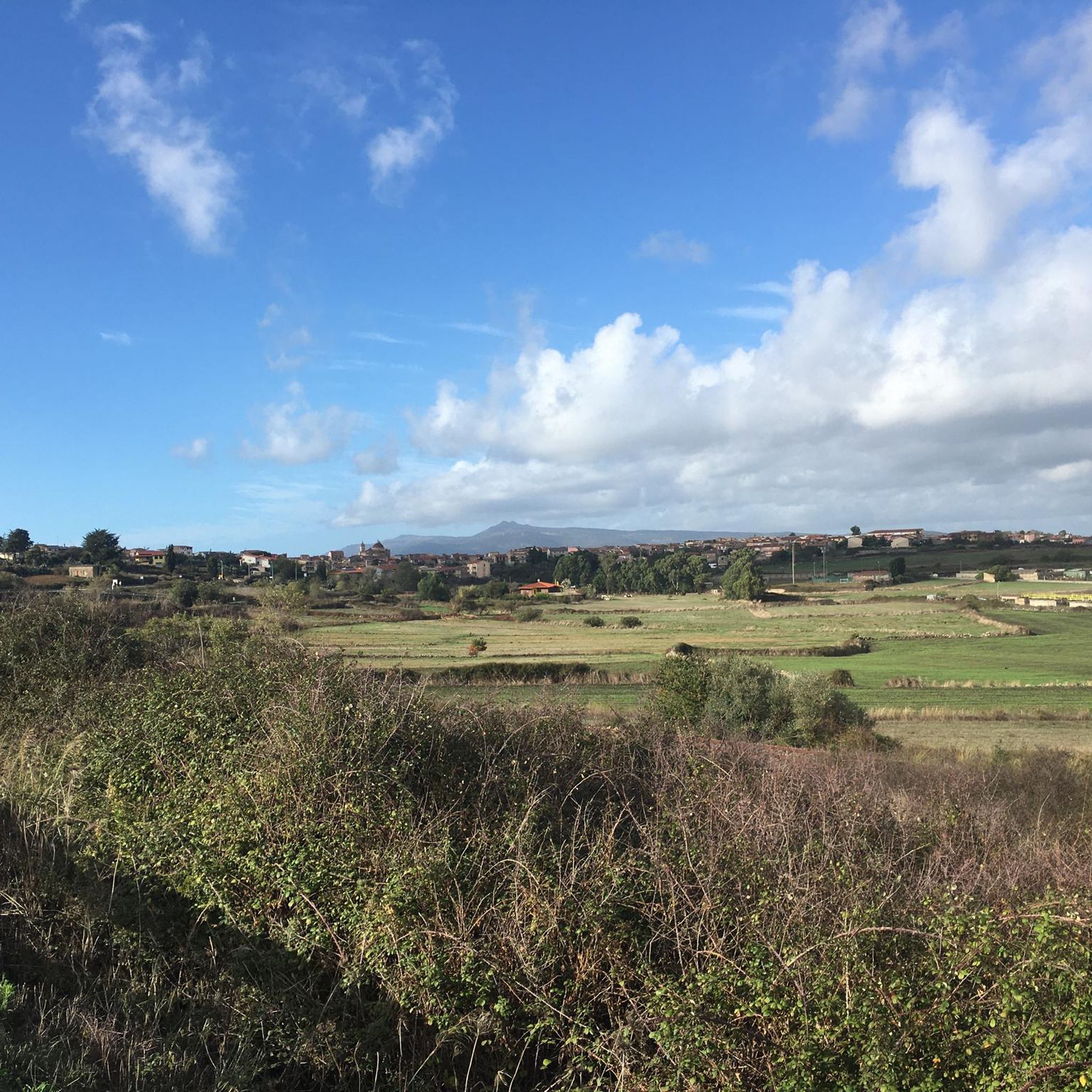
It is located in the municipality of Santu Lussurgiu (OR) A spectacular rocky peak of Montiferru that reaches an altitude of 970 meters. The west side is vertical, while the east side is inclined and climbable. On the summit there are the remains of a megalithic fortification, also known as Rocca 'e su Para, a toponym attributed, it seems, for the use of the fortress by Camaldolese friars as a place of prayer.
0
0

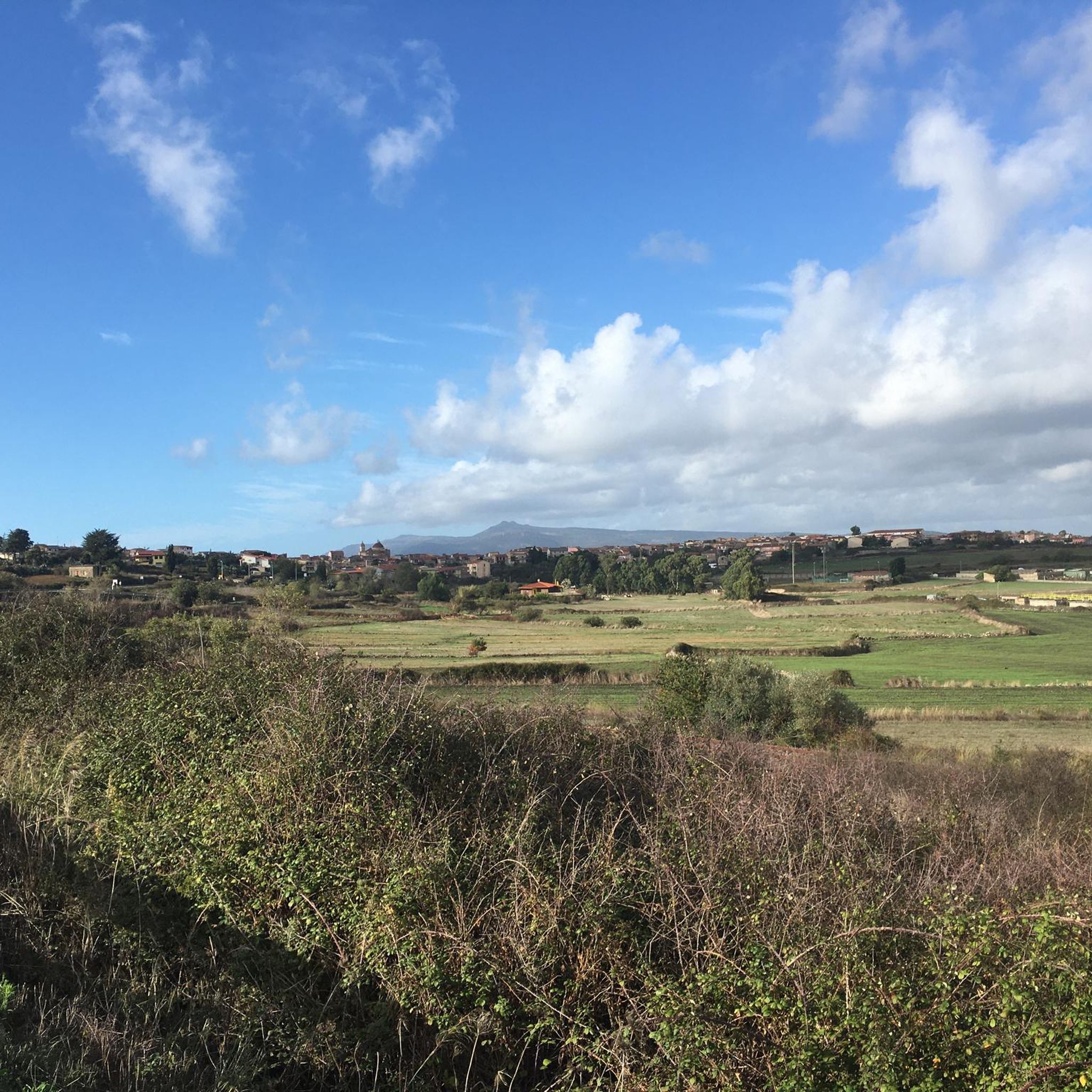
Also known as Monte Agudu, it rises imposingly reaching almost 900m in altitude. On the summit there are the remains of a probable late-Nuragic sanctuary
2
0

Disappointment... we are experienced hikers. We followed the route to the letter and found ourselves on barely marked paths overgrown with vegetation (brambles, thistles). The way back is no better: tarmac road used by many trucks. Hiking to be completely revised because it is impassable on many sections.
0
0
Update April 2024: the orange ribbons that marked the route have disappeared. However, the number of the aforementioned "piles of stone" has increased, making it clear which path to use to get to the top.
0
0
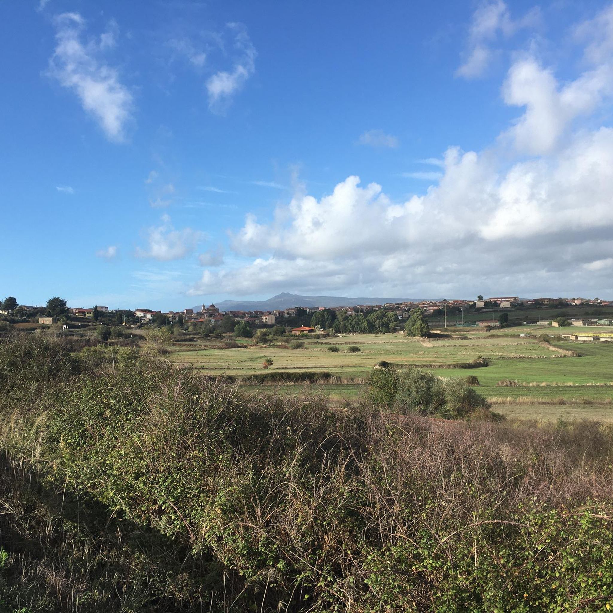
You've reached the top, take a break in the shade. (This is one of the very few trees on the top of Badde Urbara to have been saved from the 2021 fire, and remains one of the few shaded points in the area with the exception of the descent which then takes you back to the provincial road towards Cuglieri. The descent towards Elighes Uttiosos shows this fact very well, as after almost three years the charred skeletons of the trees that once populated this hill can still be found, today replaced only by shrubs).
0
0
Imposing peak, maximum height of 986. From the top you can see a wonderful panorama
0
0

The Monte di Sant'Antonio is a relief of volcanic origin, a suggestive corner of nature submerged in the woods and in the Mediterranean scrub. Country churches and archaeological sites abound throughout the area. Here there is also the statue of the Madonna, of Sant'Antonio di Padova, and a nuraghe is hidden in the thick vegetation.
1
0

A beautiful summit from which you can admire a wonderful view.
0
0
Frequently Asked Questions
What are some of the most notable mountain peaks to explore around Sinnariolo/Sennariolo?
The Montiferru region near Sinnariolo/Sennariolo offers several significant peaks. Among them are IGM Trigonometric Point On Mullone, which is the highest point in Montiferru, and Monte Agudu (Sa Rocca de Tiu Antoni Gana), known for its impressive altitude and probable late-Nuragic sanctuary remains. Another important peak is Monte Sant'Antonio, a volcanic relief rich in cultural and natural elements.
What kind of views can I expect from the mountain peaks in the Montiferru region?
From peaks like IGM Trigonometric Point On Mullone (Punta del Monte Urtigu), you can experience breathtaking panoramic views. On clear days, these can extend over 100 kilometers, reaching as far as the island of Asinara to the northwest and the tower of San Pancrazio in Cagliari to the southeast. The volcanic landscape also offers diverse natural features and expansive vistas across the Sardinian landscape.
Are there any historical or archaeological sites on the mountain peaks near Sinnariolo/Sennariolo?
Yes, the region is rich in history. On Monte Agudu (Sa Rocca de Tiu Antoni Gana), you can find the remains of a probable late-Nuragic sanctuary. The area around Monte Sant'Antonio is particularly notable, featuring country churches and a hidden nuraghe amidst the thick vegetation, alongside a statue of the Madonna and Saint Anthony of Padua.
What is the difficulty level for hiking the mountain peaks in Sinnariolo/Sennariolo?
The difficulty varies by peak. For instance, reaching IGM Trigonometric Point On Mullone is considered a challenging climb, especially due to the unstable terrain and evidence of past wildfires. Other peaks like Monte Agudu and Monte Sant'Antonio are generally rated as intermediate, offering rewarding experiences for trekkers.
Are there family-friendly mountain walks around Sinnariolo/Sennariolo?
While some peaks offer challenging climbs, the broader Montiferru region provides diverse itineraries. For easier options, consider exploring the general hiking trails around Sinnariolo/Sennariolo. You can find routes like the "Casteddu Etzu Trail" which is rated as easy, suitable for families. For more options, check the Hiking around Sinnariolo/Sennariolo guide.
What is the best time of year to hike the mountain peaks near Sinnariolo/Sennariolo?
The Montiferru region is generally pleasant for hiking during spring and autumn when temperatures are milder. Summers can be hot, and while winter hiking is possible, it's essential to be prepared for cooler conditions and potential changes in trail visibility, especially after wildfires. Always check local conditions before heading out.
Are there any shaded rest spots on the mountain peaks?
Yes, for example, at the Shaded Rest Spot at Badde Urbara Summit, you can find one of the few trees that survived the 2021 fires, offering a welcome break from the sun. However, much of the area, especially at higher altitudes, can be exposed, so planning for sun protection is advisable.
What outdoor activities can I do near these mountain peaks?
Beyond hiking, the Sinnariolo/Sennariolo area offers a variety of outdoor activities. You can find numerous routes for running, such as the "Porto Alabe Beach loop from Porto Alabe," and road cycling, including the extensive "Planargia and Montiferru Cycling Loop." Explore more options in the Hiking, Running, and Road Cycling guides for the region.
Are there specific trails for hiking near the mountain peaks?
Yes, there are several hiking trails available. For example, you can explore routes like the "Casteddu Etzu Trail" or the "View of the Village and Hills – Massabari Waterfalls loop from Cùllieri/Cuglieri." These trails allow you to experience the diverse landscapes of the Montiferru region. For a comprehensive list, refer to the Hiking around Sinnariolo/Sennariolo guide.
What should I know about parking and public transport for accessing the mountain trails?
Information on specific parking areas for trailheads is often available locally. Public transport options to reach the more remote mountain trails might be limited, as Sennariolo is a smaller municipality. It's generally recommended to plan your journey with a private vehicle for greater flexibility when accessing the Montiferru peaks.
Can I bring my dog on the hiking trails in the Montiferru region?
Generally, dogs are welcome on many outdoor trails in Sardinia, but it's always best to check local regulations for specific areas or protected zones within the Montiferru region. Ensure your dog is well-behaved, kept on a leash, and that you carry out any waste to preserve the natural environment.
Are there cafes or accommodation options near the mountain peaks in Sennariolo/Sinnariolo?
The town of Sennariolo itself, situated at an elevation of 400 meters, offers local amenities. While direct cafes or accommodation on the peaks are unlikely, you can find options in Sennariolo and nearby villages. These establishments often reflect the region's agro-pastoral traditions, olive groves, and beekeeping, providing a charming local experience.
Most popular routes around Sinnariolo/Sennariolo
Most popular attractions around Sinnariolo/Sennariolo

Get inspired with the komoot mobile app


Explore more
See even more amazing summits around Sinnariolo/Sennariolo with these guides:
