The best road cycling routes around Kruchten
4.4
(161)
3,298
riders
139
rides
Road cycling around Kruchten, located in the municipality of Niederkrüchten near the Dutch border, features a landscape of gentle rolling hills, forests, and agricultural areas. The region is characterized by varied terrain suitable for road cyclists, including routes along the tranquil Nette river. Its proximity to the Netherlands provides access to well-developed cycling infrastructure and diverse cross-border routes. This area offers a blend of natural beauty and varied cycling opportunities.
Best road cycling routes around Kruchten
- The most popular road…
Last updated: July 1, 2026
76
riders
135km
07:36
2,870m
2,870m
Hard road ride. Very good fitness required. Some segments of this route may be unpaved and difficult to ride.
4.8
(8)
44
riders
58.6km
02:53
730m
730m
Moderate road ride. Good fitness required. Some segments of this route may be unpaved and difficult to ride.

Sign up for free
15
riders
52.7km
02:55
1,100m
1,100m
Hard road ride. Very good fitness required. Mostly well-paved surfaces and easy to ride.
11
riders
41.2km
01:57
550m
540m
Moderate road ride. Good fitness required. Some segments of this route may be unpaved and difficult to ride.
9
riders
63.1km
03:15
1,070m
1,070m
Hard road ride. Very good fitness required. Some segments of this route may be unpaved and difficult to ride.
Get access to more routes and recommendations from other explorers.
Sign up for free
Already have an account?
Our route recommendations are based on thousands of hikes, rides, and runs completed by other people on komoot.
Start today with a free account
Your next adventure awaits.
Login or Signup
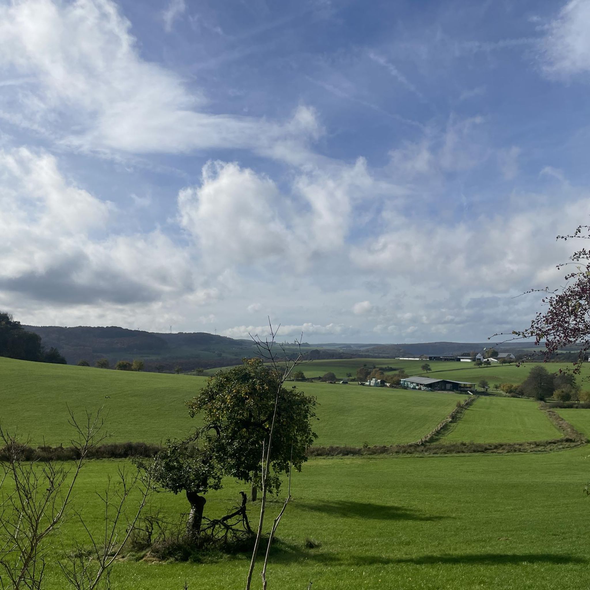
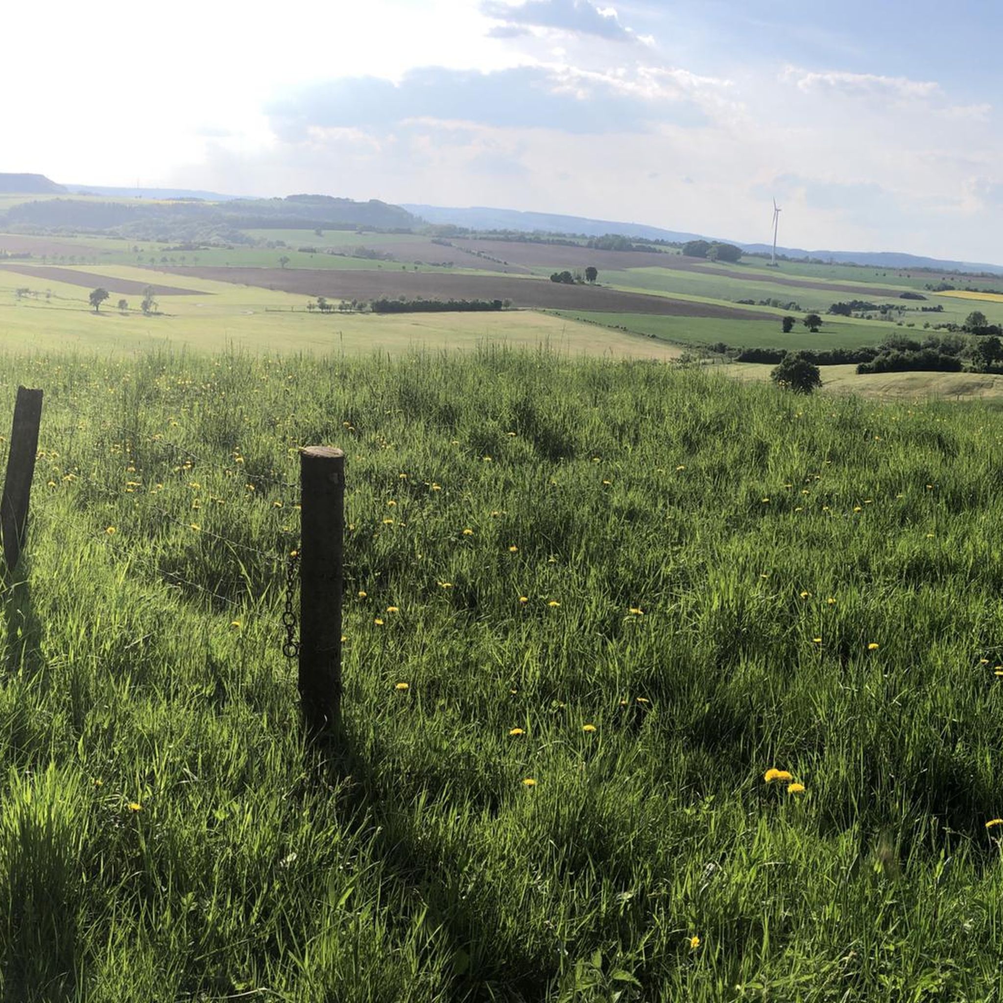

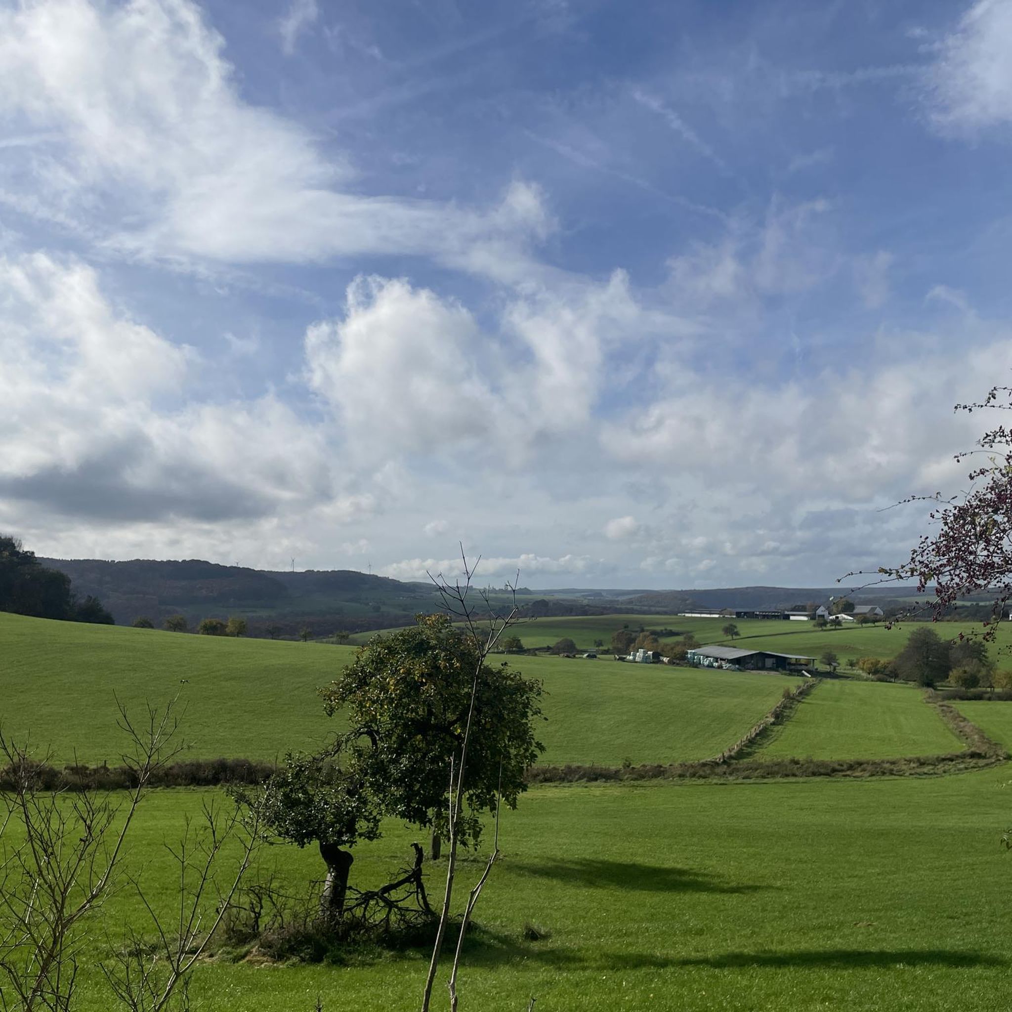

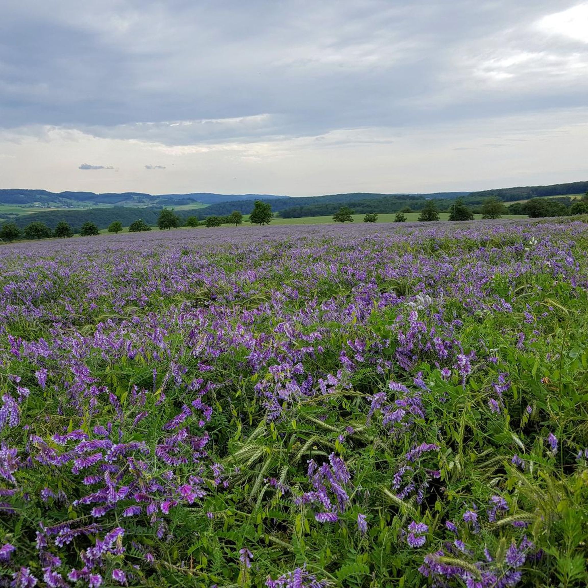
Tips from the Community

Due to renovation of the suspension bridge, a pontoon bridge for pedestrians and cyclists was built.
1
0

The castle is visible from far and wide. Even from this vantage point, it's beautiful.
0
0

keep your feet dry !!!
0
0

Great view from the height
0
0

Shortly after the confluence of the Sauer and Our rivers, a bridge connects the villages of Wallendorf (Germany) and Wallendorf-Pont (Luxembourg).
12
0

Ideal for zone 2 training !
0
0

From up here you have a great view of Vianden with its castle, as well as the deep valley of the Our.
0
0
Frequently Asked Questions
What kind of terrain can I expect when road cycling in Kruchten?
The region around Kruchten, particularly Niederkrüchten, offers a diverse landscape for road cycling. You'll encounter gentle rolling hills, extensive forests, and tranquil routes along the Nette river. The terrain is varied, providing options for different ability levels, from moderate to difficult, and includes both scenic natural areas and agricultural landscapes.
How many road cycling routes are available around Kruchten?
There are over 140 road cycling routes available around Kruchten. These routes cater to various skill levels, with 13 easy, 66 moderate, and 64 difficult options to explore.
Are there any long-distance road cycling routes in the Kruchten area?
Yes, the region offers options for longer rides, including cross-border experiences. For example, the Côte d'Alscheid Climb – Climb to Bourscheid loop from Kruchten is a challenging 84.2-mile (135.6 km) route with significant elevation gain. Additionally, the proximity to the Netherlands allows access to routes like the Vecht Valley Route, which is suitable for comfortable long-distance cycling through varied natural landscapes.
What are some scenic viewpoints or natural features to look out for on road cycling routes near Kruchten?
While cycling, you can enjoy the diverse scenery of forests, heathlands, and agricultural areas. For specific natural features, consider exploring areas near the Devil's Gorge or the Huel Lee (Hohllay Cave), which feature unique rock formations. The Waterfall by the Shelter and Bridge also offers a picturesque stop.
Are there any circular road cycling routes around Kruchten?
Yes, many routes in the area are designed as loops. An example is the Roadbike loop from Körperich, which is a 32.7-mile (52.7 km) trail through forests and agricultural landscapes. The region's network provides numerous circular options for convenient cycling.
What is the best time of year for road cycling in Kruchten?
Kruchten benefits from a temperate climate, making it suitable for road cycling throughout the year. However, spring and autumn often provide the most pleasant conditions with milder temperatures and beautiful scenery. Even winter can be an option, though some routes might require more careful planning depending on weather conditions.
Are there family-friendly road cycling options near Kruchten?
While many road cycling routes in the immediate Kruchten area feature rolling hills and can be challenging, the proximity to the Netherlands offers more family-friendly options. The Dutch cycling infrastructure is renowned for extensive, often paved and car-free paths, which are ideal for families. Within the region, look for routes with less elevation gain or those following rail trails, such as the Rail Trail near Irrel – Hotel Bollendorf loop from Wallendorf-Pont, which is a moderate 36.2-mile (58.3 km) path.
What do other road cyclists enjoy most about cycling in Kruchten?
The road cycling routes in Kruchten are highly rated by the komoot community, with an average score of 4.4 stars from over 140 reviews. Cyclists often praise the varied terrain, which includes gentle rolling hills, extensive forests, and scenic routes along the Nette river, offering a blend of natural beauty and diverse cycling opportunities.
Can I find cafes or pubs along the road cycling routes in Kruchten?
Yes, the region offers opportunities to stop for refreshments. Many routes pass through picturesque villages where you can find cafes and pubs. The cross-border routes, especially those extending into South Limburg in the Netherlands, are known for numerous outdoor cafés amid beautiful nature, providing excellent spots for a break.
Are there any road cycling routes that cross into neighboring countries?
Absolutely. Kruchten's location near the Dutch border provides excellent opportunities for cross-border cycling. You can explore routes that extend into South Limburg in the Netherlands, known for its rolling hills and challenging routes. The Three Borders Route, for instance, allows cyclists to traverse the Netherlands, Germany, and Belgium in one afternoon, offering a unique international cycling experience.
What is the difficulty level of road cycling routes around Kruchten?
The road cycling routes around Kruchten offer a range of difficulty levels. You'll find options from moderate to difficult, characterized by gentle rolling hills and varying elevation gains. For example, the View of the Sauer River – Wallendorf Bridge loop from Wallendorf is a moderate route, while the Wallendorf Bridge – Mural on the Vianden Dam loop from Wallendorf presents a more difficult challenge.
Where can I find parking for road cycling routes in Kruchten?
While specific cycling-dedicated parking areas are not detailed, you can generally find parking in or near the starting points of many routes, especially in the villages and towns around Kruchten and Niederkrüchten. Look for public parking facilities in these areas, which often serve as convenient access points for cyclists.
Most popular attractions around Kruchten

Get inspired with the komoot mobile app


Explore more
Browse the best Road cycling routes in other regions.
