The 4 Most Amazing Peaks around Canevino
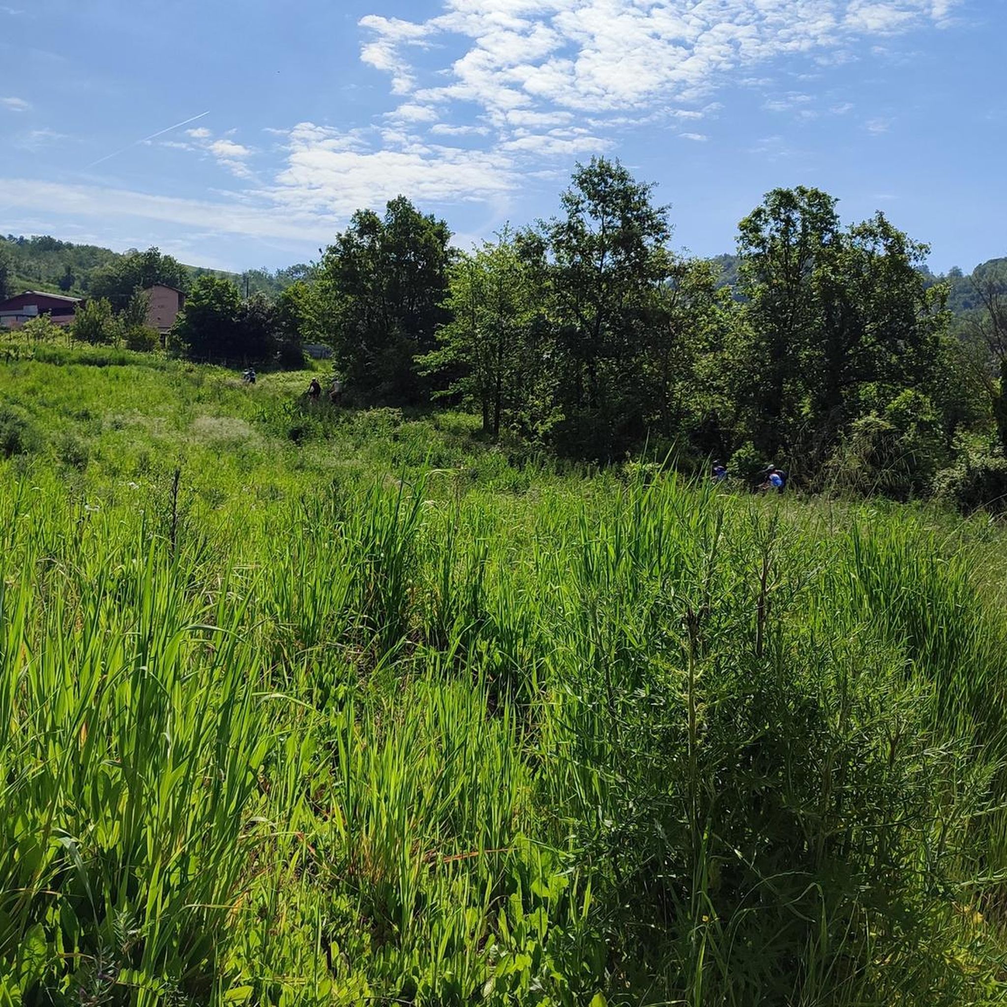
Best mountain peaks around Canevino are found within a municipality now part of Colli Verdi in the Province of Pavia, Lombardy, Italy. Situated at an elevation of 511 meters above sea level, Canevino is nestled in the "alta collina dell'Oltrepò Pavese," specifically on a wooded hill that separates the Versa and Scuropasso valleys. Its elevated position offers notable panoramic views and serves as a base for exploring the surrounding hills. The area features footpaths that wind through forests and areas…
Last updated: June 29, 2026
Start of MTB descents – Monte Bissolo E‑Bike Park
Highlight • MTB Park
Translated by Google •
Tip by

Monte Pioggia Climb
Highlight • Climb
Translated by Google •
Tip by

Sign up now to discover places like this
Get recommendations on the best single tracks, peaks, & plenty of other exciting outdoor places.
Sign up for free
Monte Aldone Summit
Highlight • Summit
Translated by Google •
Tip by

Montecalvo Versiggia Viewpoint
Highlight • Viewpoint
Translated by Google •
Tip by

Monte Lazzarello
Highlight • Summit
Translated by Google •
Tip by

Start today with a free account
Your next adventure awaits.
Login or Signup

Tips from the Community

Hi @Cristiano Repetti, the names are always the same, the Ruino Clean Wheels is on the other side of the dam, I've never been there, so I can't tell you, but from the directions it should look similar to the Nera...
0
0

I saw they changed their names. On the website, they say BLU, ROSSA, NERA, MAMBA, and Ruino Clean Wheels. Can anyone who's ridden them tell me what their difficulty levels are?
0
0
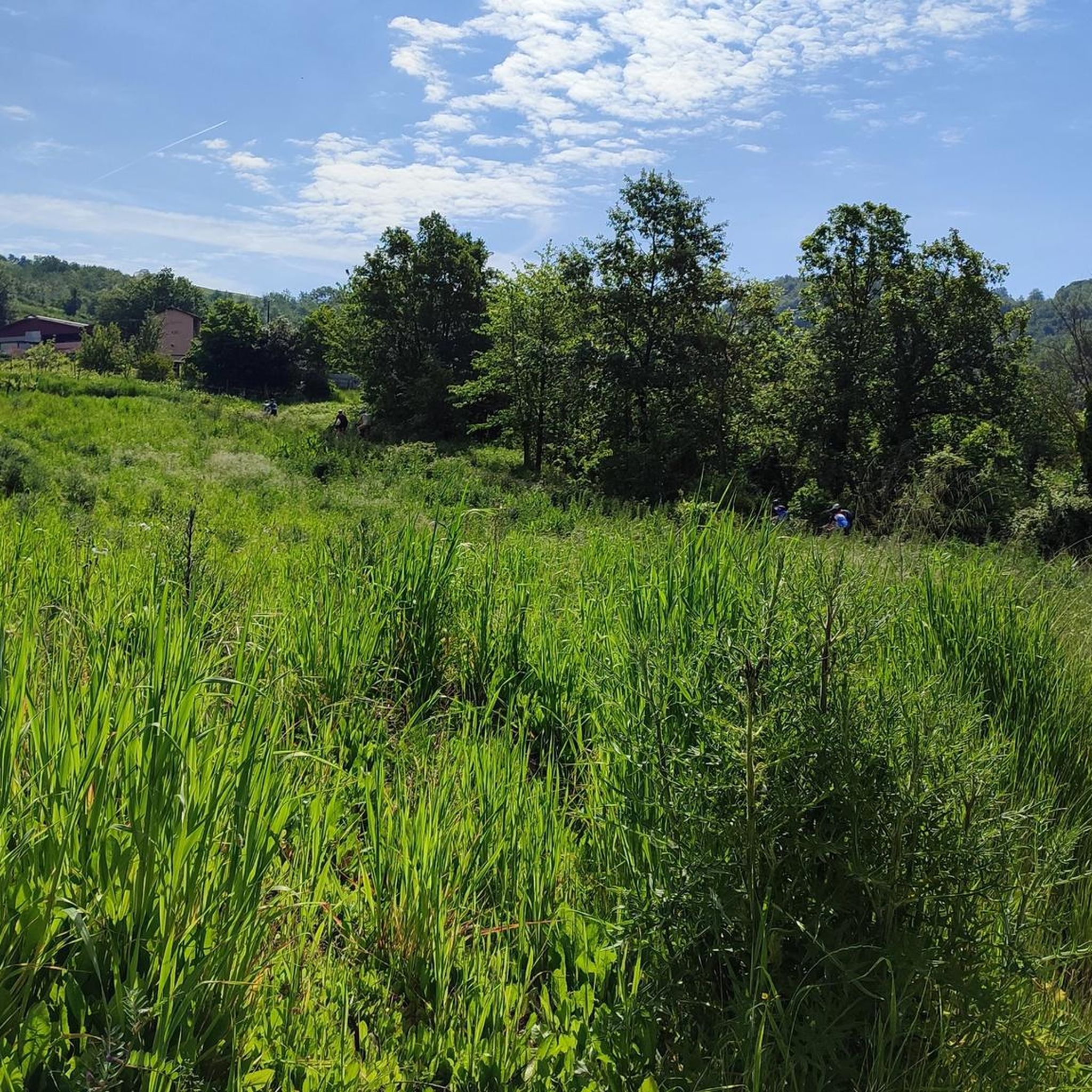
Comment dated August 2, 2024.... Climbing Mount Pioggia on an eMTB is now difficult if not impossible! While before it was tough, given the surface and the sudden difference in altitude, now after the heavy rains of the last few months, which have dug out the stretch there is no path to do it in the saddle. By cutting the hay, the farmer made it possible to circumvent the stretch in question and reach the summit of Monte Pioggia!
0
0

Even by taking the right measures, with relationships and assistance, Monte Pioggia remains tough! In recent months the rains have created channels and finding the right path to take it home is really difficult! .🤷🏽♂️🤷🏽♂️🤷🏽♂️
1
0

Square with fountain and viewpoint. 500 meters from the "La Verde Sosta" restaurant
0
0

On the watershed with Val Tidoncello are Pian del Poggio (801 meters above sea level) and Monte Lazzarello, at an altitude of 864 metres. This is one of the highest points in the area, so you can see quite far in some parts. The trees don't allow for a very wide and panoramic view, but it still offers a pleasant view.
2
0
Frequently Asked Questions
What kind of natural features can I expect to see around Canevino?
Canevino is characterized by a hilly landscape, offering panoramic views over the surrounding Versa and Scuropasso valleys. You'll find wooded hills, footpaths winding through forests, and areas of sandstone flysch. Notable viewpoints include Montecalvo Versiggia Viewpoint, which provides expansive vistas, and Monte Lazzarello, one of the highest points in the area with pleasant views despite some tree cover.
Are there any challenging mountain peaks or climbs for experienced hikers near Canevino?
Yes, for those seeking a challenge, the Monte Pioggia Climb is known to be quite tough. It features steep sections and can be particularly difficult after rain due to channels formed on the path. Another peak, Monte Aldone Summit, reaches 810 meters above sea level in the Ligurian Apennines, offering an intermediate challenge.
What is the best time of year to visit Canevino for hiking and outdoor activities?
The region around Canevino, with its rolling hills and scenic vistas, is generally appealing for tranquil walks and exploring footpaths through forests. Spring and autumn are typically ideal, offering pleasant temperatures and vibrant natural scenery, making them perfect for hiking and enjoying the panoramic views without the intense heat of summer.
Are there family-friendly trails or viewpoints around Canevino?
Absolutely. The Montecalvo Versiggia Viewpoint is considered family-friendly, featuring a square with a fountain and offering expansive views that can be enjoyed by all ages. The general landscape of rolling hills and footpaths also provides many opportunities for easier, family-friendly walks.
What kind of cycling opportunities are available near Canevino?
Canevino is a great base for various cycling activities. For mountain biking enthusiasts, the Start of MTB descents – Monte Bissolo E‑Bike Park offers five tracks of increasing difficulty, suitable for full-suspension mountain bikes. For road cyclists, you can explore routes like the 'Vineyard View – Montescano Hill Climb loop' or the 'Alta Val Tidone loop'. More details on these routes can be found in the Road Cycling Routes around Canevino guide and the MTB Trails around Canevino guide.
Are there any specific running trails or routes near Canevino?
Yes, there are several running trails in the vicinity. You can find routes like the 'Fortunago loop' or the 'Running loop from Santa Maria della Versa'. These trails vary in difficulty, offering options for different fitness levels. For more detailed information and route options, refer to the Running Trails around Canevino guide.
Where can I find cafes or pubs near the hiking trails in Canevino?
While specific cafes directly on trails are rare, the village of Canevino and nearby towns offer options. For instance, the Montecalvo Versiggia Viewpoint is located about 500 meters from the 'La Verde Sosta' restaurant, providing a convenient spot for refreshments after enjoying the views. Exploring the local villages will reveal more establishments.
What are the highest points or summits I can visit in the Canevino area?
While Canevino itself is a hilly area, you can find notable summits nearby. Monte Lazzarello, at an altitude of 864 meters above sea level, is one of the highest points on the watershed with Val Tidoncello. Another significant peak is Monte Aldone Summit, reaching 810 meters above sea level in Val Tidone of the Ligurian Apennines.
Is Canevino suitable for dog-friendly hiking?
The natural landscape of Canevino, with its numerous footpaths through forests and hills, is generally suitable for dog-friendly hiking. Many trails are unpaved and offer plenty of space for dogs to explore. Always ensure your dog is on a leash where required and respect local regulations regarding pets in natural areas.
What do visitors appreciate most about the mountain peaks and viewpoints around Canevino?
Visitors particularly enjoy the expansive panoramic views offered by the elevated positions, such as those from Montecalvo Versiggia Viewpoint. The tranquility of the wooded hills and the variety of trails for different activities, from challenging climbs like Monte Pioggia Climb to fun MTB descents at Monte Bissolo E‑Bike Park, are also highly valued by the komoot community.
Are there any historical or cultural landmarks to see while exploring the peaks around Canevino?
While the focus is on natural peaks, Canevino itself has historical significance. The parish church, dedicated to the Assumption, stands on top of the hill in Canevino. This church is not only a place of worship but also a destination for walks and pilgrimages, offering expansive views of the area and a glimpse into the region's heritage.
How accessible are the trails and viewpoints around Canevino by public transport?
Canevino is located in a rural, hilly area. While there might be local bus routes connecting to larger towns, public transport options directly to trailheads or specific viewpoints can be limited. It's often more convenient to reach the area by car, especially for accessing various starting points for hikes and rides. Parking is generally available in or near the villages.
Most popular routes around Canevino
Most popular attractions around Canevino

Get inspired with the komoot mobile app


Explore more
See even more amazing summits around Canevino with these guides:
