The 4 Most Amazing Peaks around Caminata
Best mountain peaks around Caminata are found within the Piacenza Apennines of Italy, a region known for its diverse hiking trails. Caminata serves as a base for exploring peaks that offer panoramic views, unique geological features, and historical significance. The area provides opportunities to experience the Apennine mountains and discover ancient pathways.
Best mountain peaks around Caminata
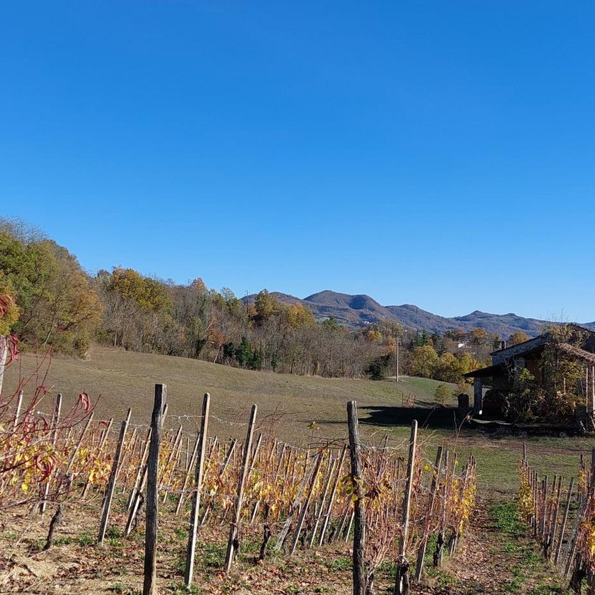
- The most popular mountain peaks is Montecalvo Versiggia Viewpoint, a viewpoint and summit that is considered one of the many enchanting places…
Last updated: June 29, 2026
Start of MTB descents – Monte Bissolo E‑Bike Park
Highlight • MTB Park
Translated by Google •
Tip by

Monte Pioggia Climb
Highlight • Climb
Translated by Google •
Tip by

Sign up now to discover places like this
Get recommendations on the best single tracks, peaks, & plenty of other exciting outdoor places.
Sign up for free
Monte Aldone Summit
Highlight • Summit
Translated by Google •
Tip by

Montecalvo Versiggia Viewpoint
Highlight • Viewpoint
Translated by Google •
Tip by

Monte Lazzarello
Highlight • Summit
Translated by Google •
Tip by

Start today with a free account
Your next adventure awaits.
Login or Signup

Other adventures around Caminata

Tips from the Community

Hi @Cristiano Repetti, the names are always the same, the Ruino Clean Wheels is on the other side of the dam, I've never been there, so I can't tell you, but from the directions it should look similar to the Nera...
0
0

I saw they changed their names. On the website, they say BLU, ROSSA, NERA, MAMBA, and Ruino Clean Wheels. Can anyone who's ridden them tell me what their difficulty levels are?
0
0
Comment dated August 2, 2024.... Climbing Mount Pioggia on an eMTB is now difficult if not impossible! While before it was tough, given the surface and the sudden difference in altitude, now after the heavy rains of the last few months, which have dug out the stretch there is no path to do it in the saddle. By cutting the hay, the farmer made it possible to circumvent the stretch in question and reach the summit of Monte Pioggia!
0
0

Even by taking the right measures, with relationships and assistance, Monte Pioggia remains tough! In recent months the rains have created channels and finding the right path to take it home is really difficult! .🤷🏽♂️🤷🏽♂️🤷🏽♂️
1
0

Square with fountain and viewpoint. 500 meters from the "La Verde Sosta" restaurant
0
0

On the watershed with Val Tidoncello are Pian del Poggio (801 meters above sea level) and Monte Lazzarello, at an altitude of 864 metres. This is one of the highest points in the area, so you can see quite far in some parts. The trees don't allow for a very wide and panoramic view, but it still offers a pleasant view.
2
0
Frequently Asked Questions
What are some of the most panoramic mountain peaks in the Piacenza Apennines near Caminata?
For expansive views, consider Monte Penice, which offers extraordinary vistas over Bobbio, the Trebbia River, and even the Po Valley and Alps on clear days. Monte Crociglia and Monte Carevolo are also celebrated for their exceptionally beautiful and unobstructed viewpoints due to their isolated, grass-covered dome shapes. Additionally, the Montecalvo Versiggia Viewpoint is a popular spot with wide views.
Are there any mountain peaks near Caminata with historical or cultural significance?
Yes, Monte Penice is home to the ancient Sanctuary of Santa Maria, a site of Marian devotion for over 1350 years, believed to be built on a pagan Celtic-Ligurian temple. The hiking trails in the Caminata area also often form part of historical routes like the "Mountain Francigena" or Via degli Abati, blending natural beauty with cultural heritage.
What kind of hiking trails can I expect around the mountain peaks near Caminata?
The Piacenza Apennines offer a range of hiking difficulties. You can find easy loops suitable for all fitness levels, such as those around Lake Trebecco, as well as more challenging routes with significant elevation gains. These trails traverse diverse landscapes including forests, vineyards, and historical villages, providing opportunities to experience the majesty of the Apennine mountains. For specific hiking routes, you can explore the Hiking around Caminata guide.
Are there family-friendly mountain peaks or viewpoints suitable for all ages near Caminata?
Yes, the Montecalvo Versiggia Viewpoint is considered family-friendly and is a popular spot with a square and fountain, offering wide views. Many easy loops around the area, such as those near Lake Trebecco, are also suitable for families.
What is the best time of year to visit the mountain peaks around Caminata for hiking?
The Piacenza Apennines are generally pleasant for hiking from spring through autumn. Summer offers warm conditions, while winter transforms Monte Penice into a small ski resort, providing diverse recreational opportunities year-round. For hiking, spring and autumn often provide milder temperatures and beautiful scenery.
Can I find challenging mountain trails near Caminata?
Yes, the region offers challenging routes with significant elevation gains requiring good fitness and sure-footedness. For instance, the Monte Pioggia Climb is noted by visitors as a tough ascent, even with assistance, due to steep, dug, and disconnected sections created by recent rains.
What unique geological features can be found among the mountain peaks near Caminata?
Pietra Parcellara is a distinctive landmark, often called the "Matterhorn of Valtrebbia" due to its sharp, solitary tip rising dramatically from the hills. Its appearance changes depending on the vantage point, making it a visually striking feature. A path connects it to Pietra Perduca, offering a ruggedly beautiful landscape.
Are there opportunities for mountain biking near the peaks around Caminata?
Yes, the area caters to mountain bikers. The Start of MTB descents – Monte Bissolo E‑Bike Park offers five tracks of increasing difficulty, suitable for full-suspension mountain bikes. The ascent is unpaved and mostly shaded. For more mountain biking options, check the Gravel biking around Caminata guide.
What do visitors enjoy most about the mountain peaks around Caminata?
Visitors appreciate the variety of landscapes and trail types, from panoramic viewpoints to challenging climbs and forested summits. The region's natural beauty, the opportunity to discover ancient pathways, and the serene natural environments are frequently highlighted. The komoot community has shared 11 photos and given 19 upvotes across the highlights in the area.
Which mountain peak marks the meeting point of three Italian regions?
The summit of Monte Chiappo is a significant point where the regional borders of Piedmont, Emilia-Romagna, and Lombardy converge. This mountain range also influences the valleys of Staffora, Trebbia, and Curone.
Is there a mountain peak near Caminata that reaches 810 meters above sea level?
Yes, Monte Aldone Summit, located in Val Tidone of the Ligurian Apennines, reaches 810 meters above sea level and features an old repeater.
Are there any forested summits with pleasant views near Caminata?
Yes, Monte Lazzarello, at an altitude of 864 meters, is one of the highest points in the area. While trees may limit a very wide panoramic view, it still offers a pleasant view and a nice clearing.
Most popular routes around Caminata
Most popular attractions around Caminata

Get inspired with the komoot mobile app


Explore more
See even more amazing summits around Caminata with these guides:
